Batu Batu Resort
Batu Batu Resort, Pulau Tengah, 86800 Mersing, Johor, Malaysia
Coordinates in degrees decimal: 2.47398333 N, 103.96062778 E.
Visited in October-November 2023. Photographer: Nigel and Sylviane Thomas. Cameras: Olympus Tough T6 and Nikon Coolpix W300.
Visit the resort website at https://www.batubatu.com.my
Introduction
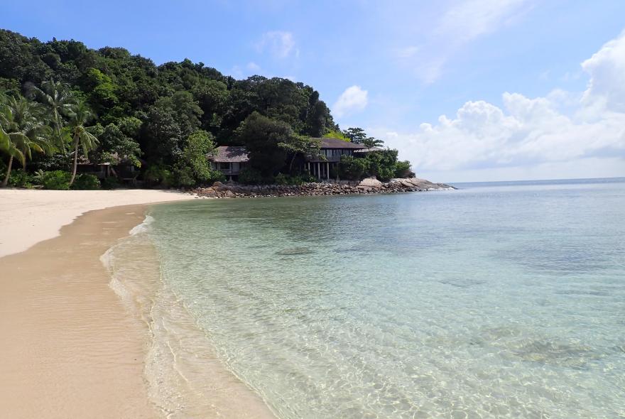
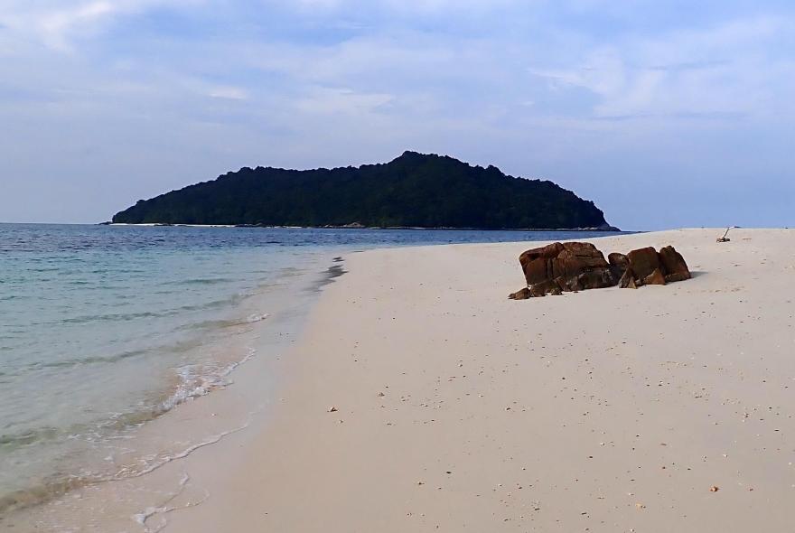
The Batu Batu Resort is located on Pulau Tengah, which is off the east coast of the Malaysia Peninsular in the South China Sea. Extensive areas of easily accessible coral reef can be found off the south and west coasts of the island. The reef to the west extends over 500m, while the reef to the south is over 700m long. All areas of reef are accessible from the shore, although it is important to choose the correct tidal state to both enter and exit the reef areas.
Pulua Tengah is accessible by ferry from the jetty at Mersing, which is on the east coast of Johor in Malaysia. Mersing can be reached by car or bus from the main international airports at both Singapore and Kaula Lumpur. Journey time from the former is approximately 4 hours and 30 minutes, while journey time from Singapore is anything between 2 and a half hours to 4 hours. This latter due to the often congested border crossing between Singapore and Malaysia.
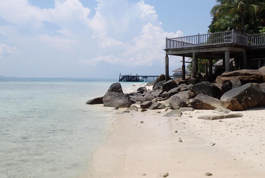
The resort is low key with the rooms scattered over the hillside above the coastal strip on the south of the island, including some beach side accommodation.
Factors affecting snorkelling
The air temperature in the area is quite stable with the yearly average at 26C and summer (April to October) maximums just below 30C. Seawater temperatures are uniformly warm throughout the year with a minimum monthly average in January at 27.6C and an average maximum in May at 29.9C, so no need for a wetsuit at any time. The area is impacted, with respect to snorkelling and diving, over the period November to February, due to the North East Monsoon (NEM).
The specific weather and water conditions that might affect snorkelling include:
- Rainfall is significant during the period October to January, exceeding 435mm during December. This level of rainfall causes large quantities of sediment to be released from the rivers on the east coast of the Malaysian Peninsular, which, when combined with other factors (see below) seriously impact the potential to snorkel, due to reduced visibility,. The lowest levels of rainfall, are between February and September.
- The strongest winds occur during the period December to February, exceeding 20mph approximately 20% of the time. These winds are from the NNE (part of the NEM) and they prevail until April.
- The lightest winds, from the SSE, occur in April to May when the winds are generally below 12mph.
- The swell, when it occurs, is generally from the NNE (again part of the NEM) and is present at greater than 0.5m height during the period November to March. These conditions when combined with stronger winds create rough seas, sufficient to make snorkelling impractical and unsafe.
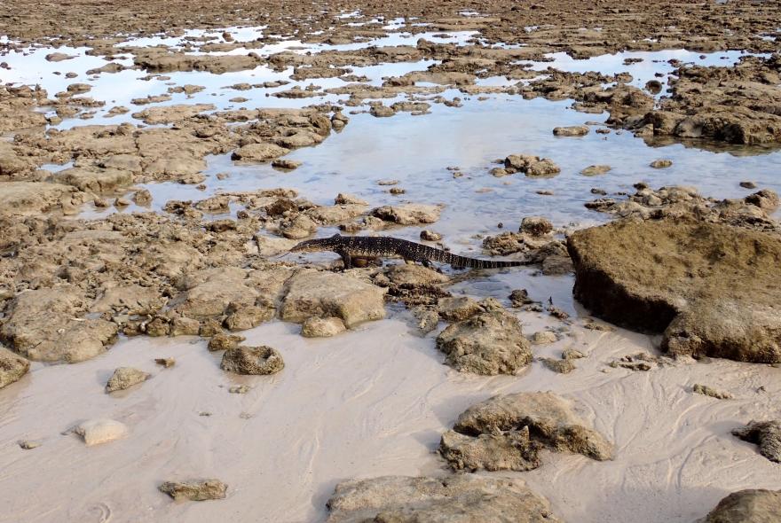
- The tidal range at the resort (based on the port of Mersing) can be as large as 3m with lows at or slightly above 0.0m and highs in excess of 2.8m. Low water exposes a large area of intertidal so you will need to check your entry and exit location carefully. The island also has, at times, a single low/high water per day rather than the usual double low/high water cycle. Check this on the following website here.
- Some localised currents exist around the headlands on the south-eastern and north-western corners of the island, so always be aware of your safe exit point.
- Vessel activity was only evident in the vicinity of the jetty for short periods every day.
Ecology
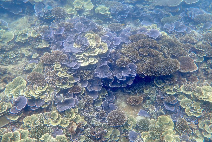
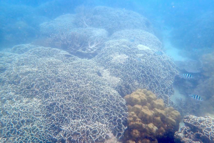
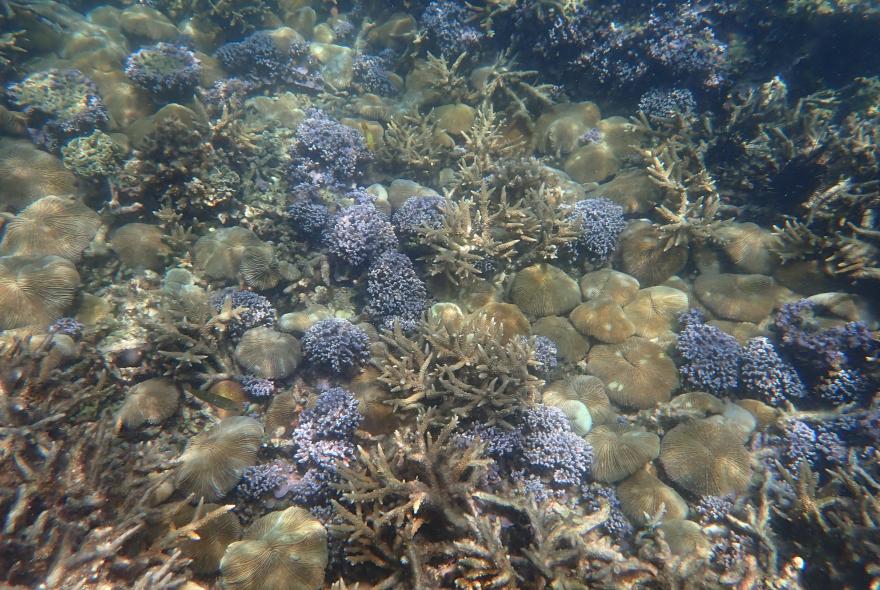
The habitats that can be observed while snorkelling at the resort include: extensive coral reef areas which are primarily mixed species outcrops, low density seagrass beds, coral debris and sand in the shallow waters, clean sands both inshore and offshore, artificial structures on the jetty.
A total number of 240 species were identified during our 10 day trip, including 66 fish species, several of which are typical of turbid water conditions. The coral in general is in a healthy state and comprises a wide variety of species, with over 60 recorded, including soft corals. I have used the recommended 3 stage approach to identifying corals, using a distance shot for overall form, closer for branching structure and finally a close-up to look at new growth form. (Kelley R, 2022. Indo Pacific Coral Finder, 2022 edition, BYOGUIDES followed by www.coralsoftheworld.org Associated species included numerous molluscs (17), with echinoderms in great abundance, particularly in the shallow reef areas.

