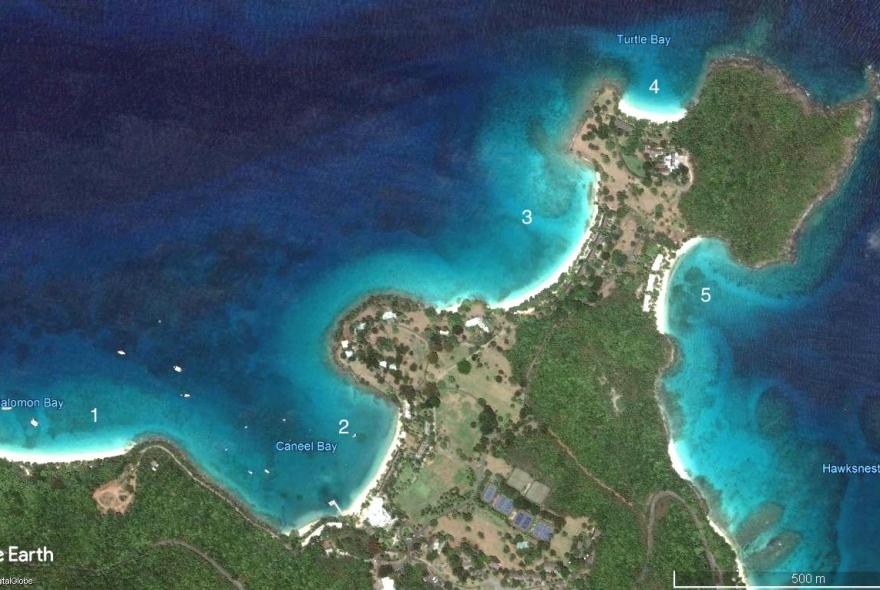
The description of the area is based on the numbering the bays as follows; 1) Honeymoon Beach, 2) Caneel Bay, 3) Scott Beach, 4) Turtle Bay and 5) Hawksnest Bay.
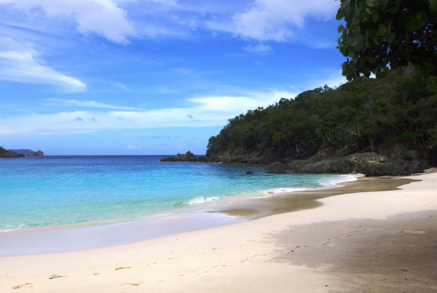
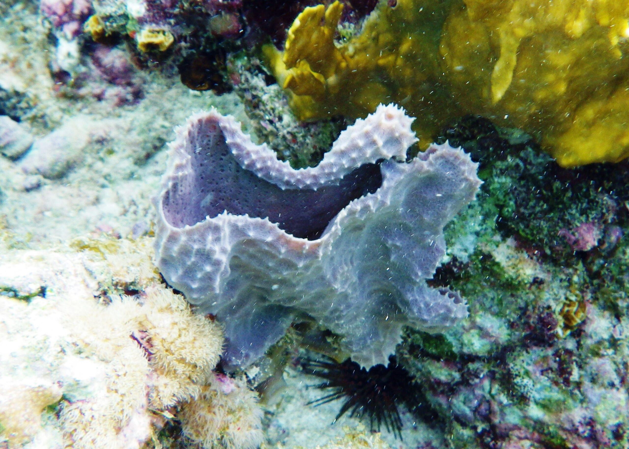
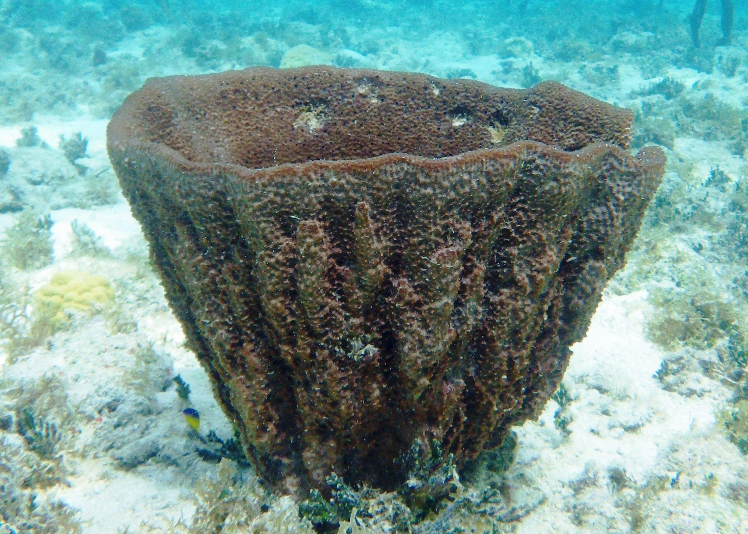
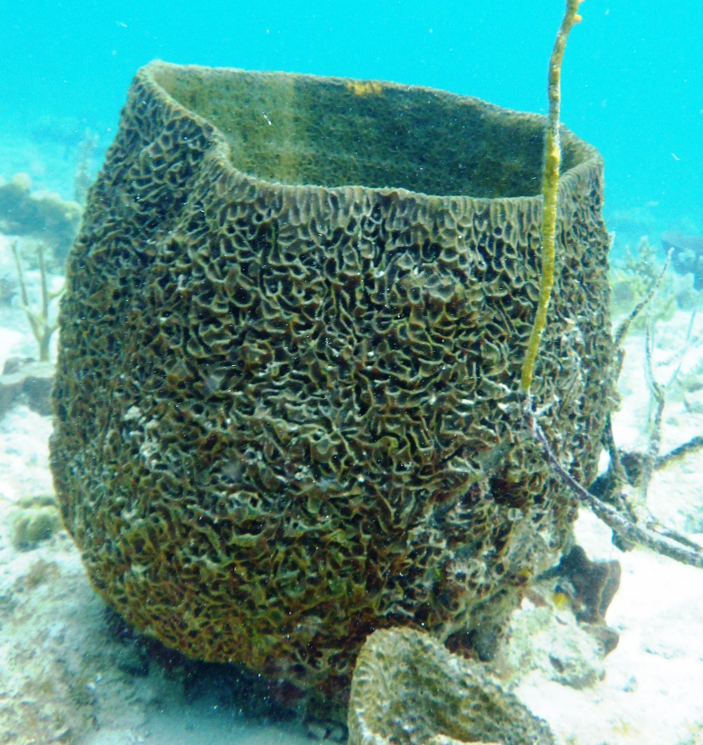
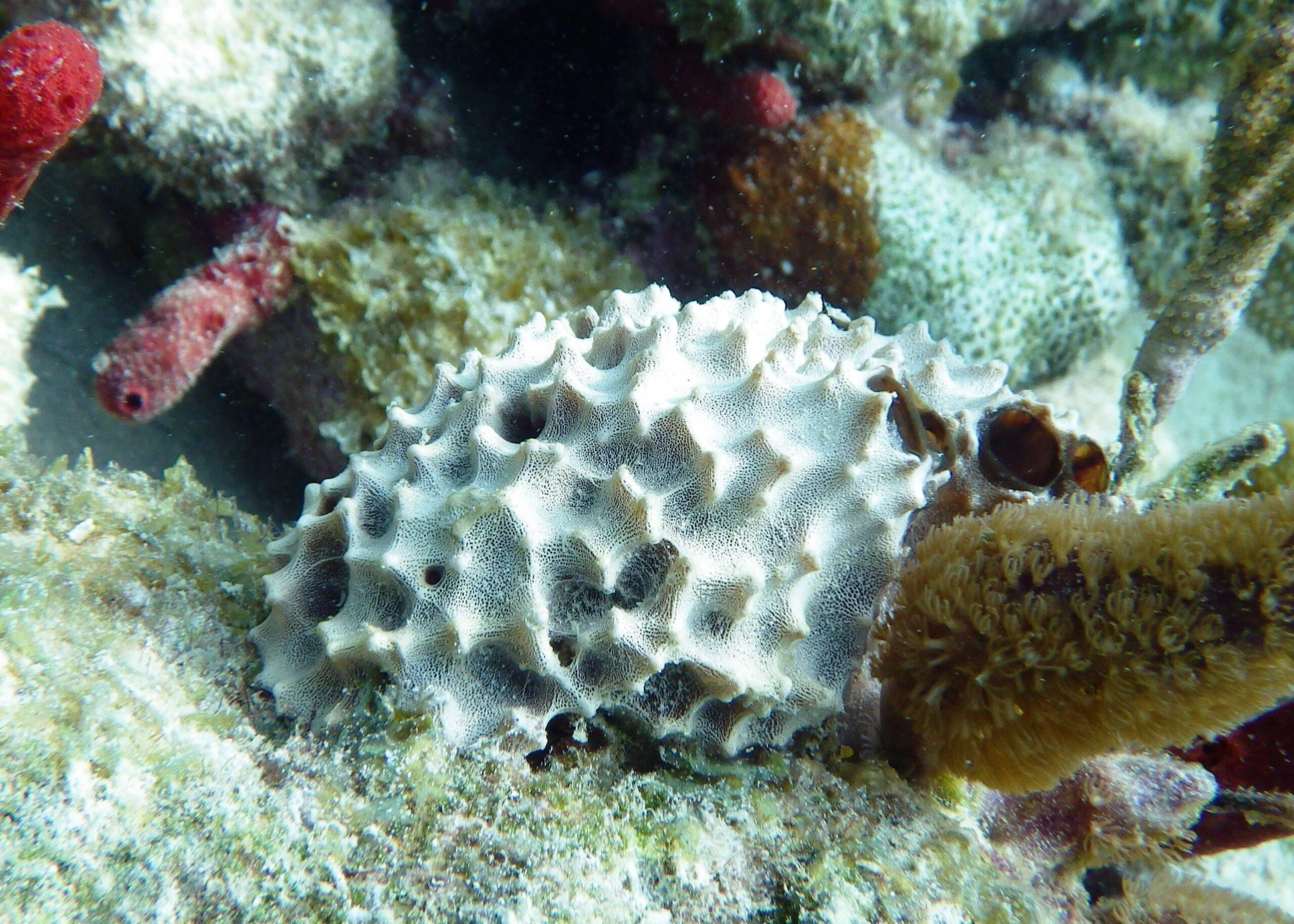
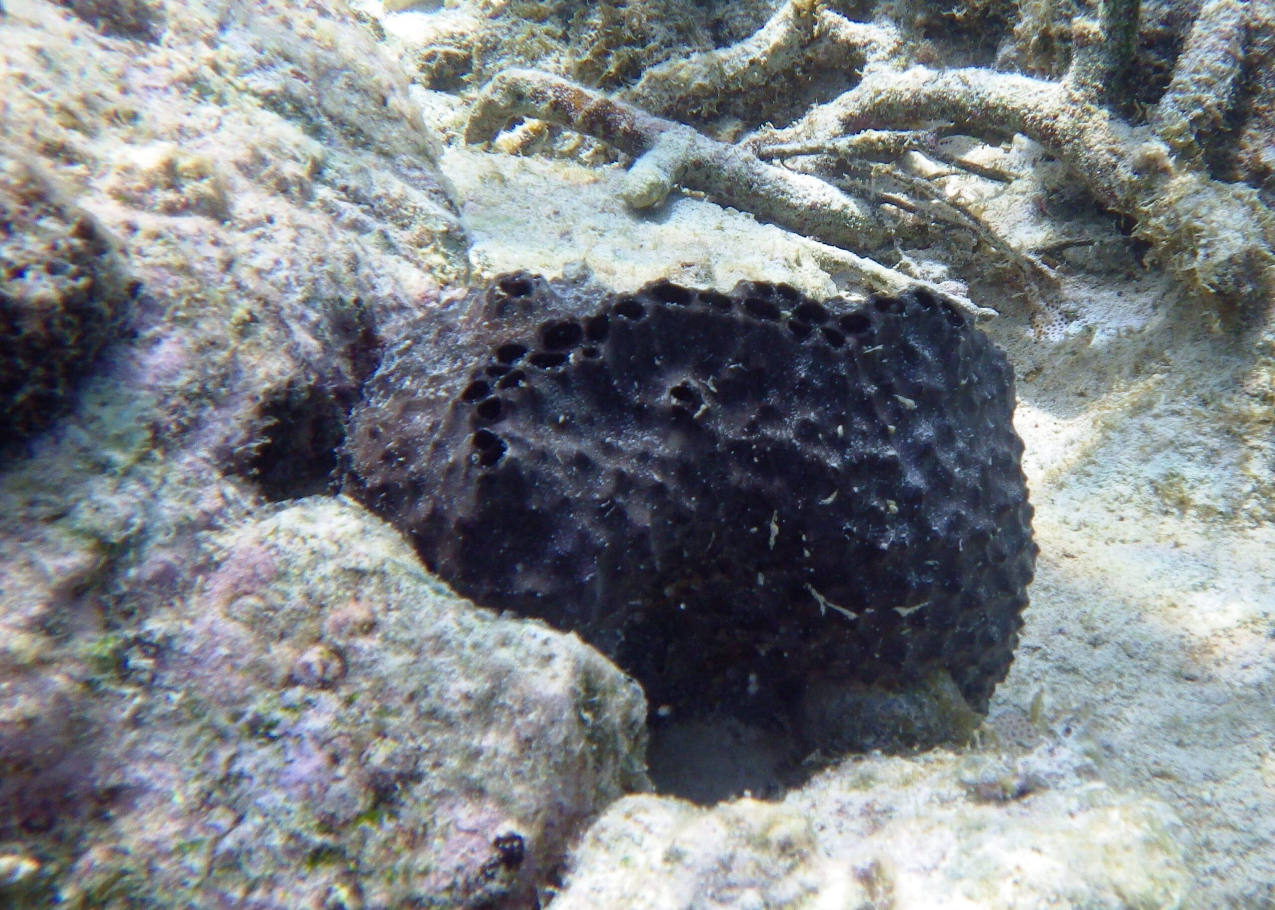
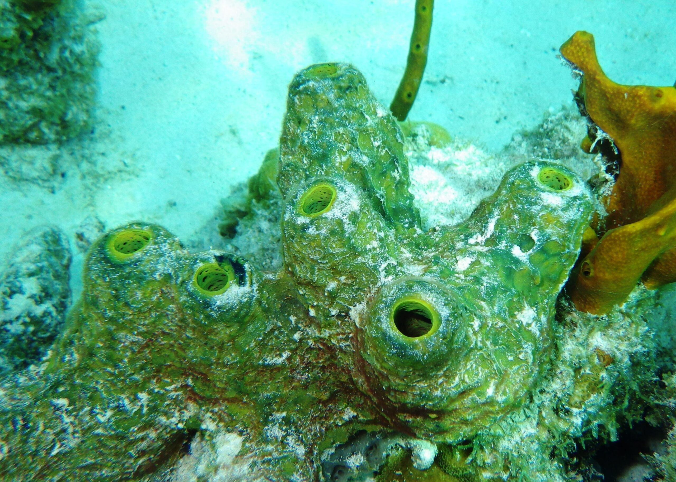
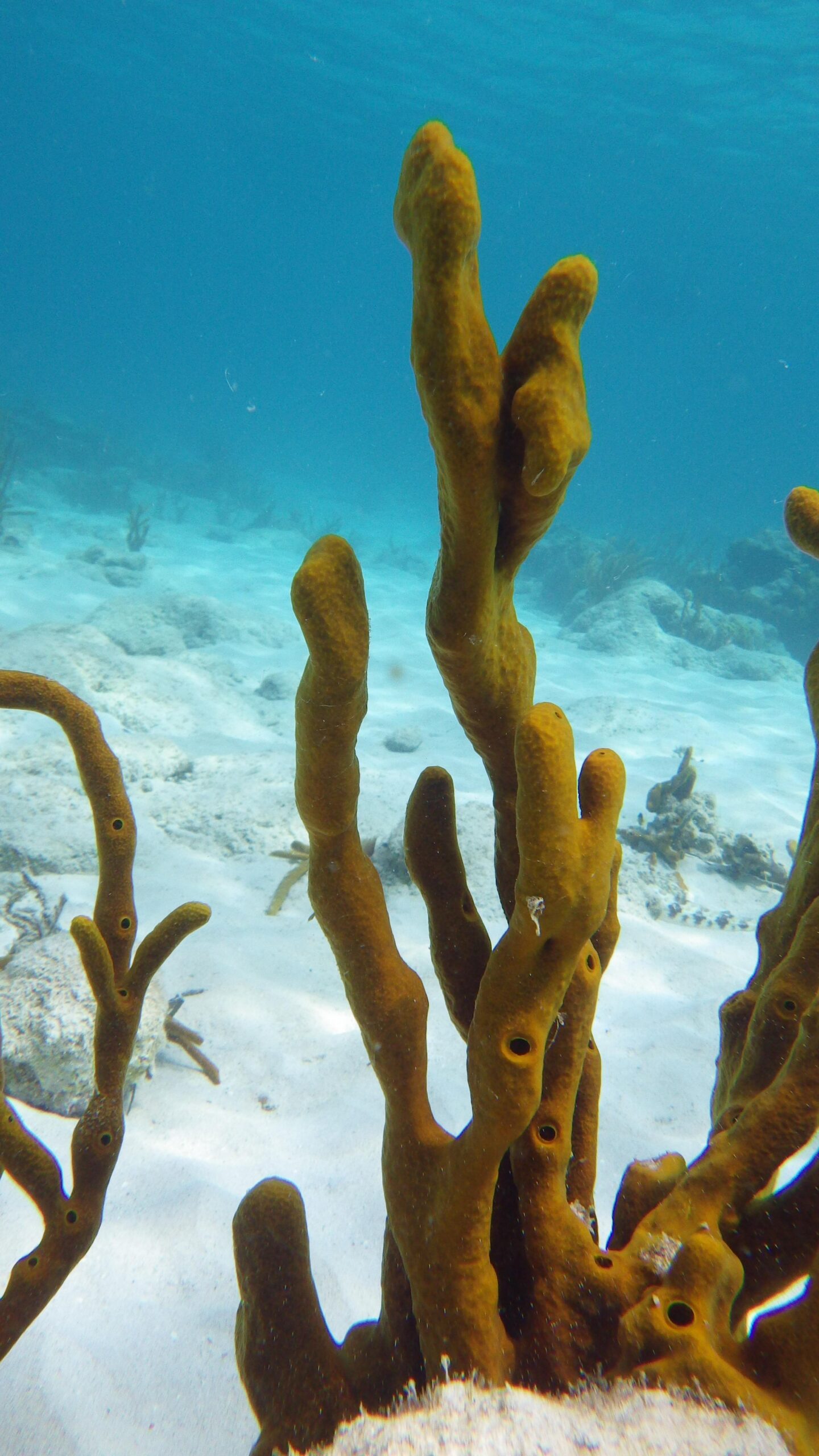
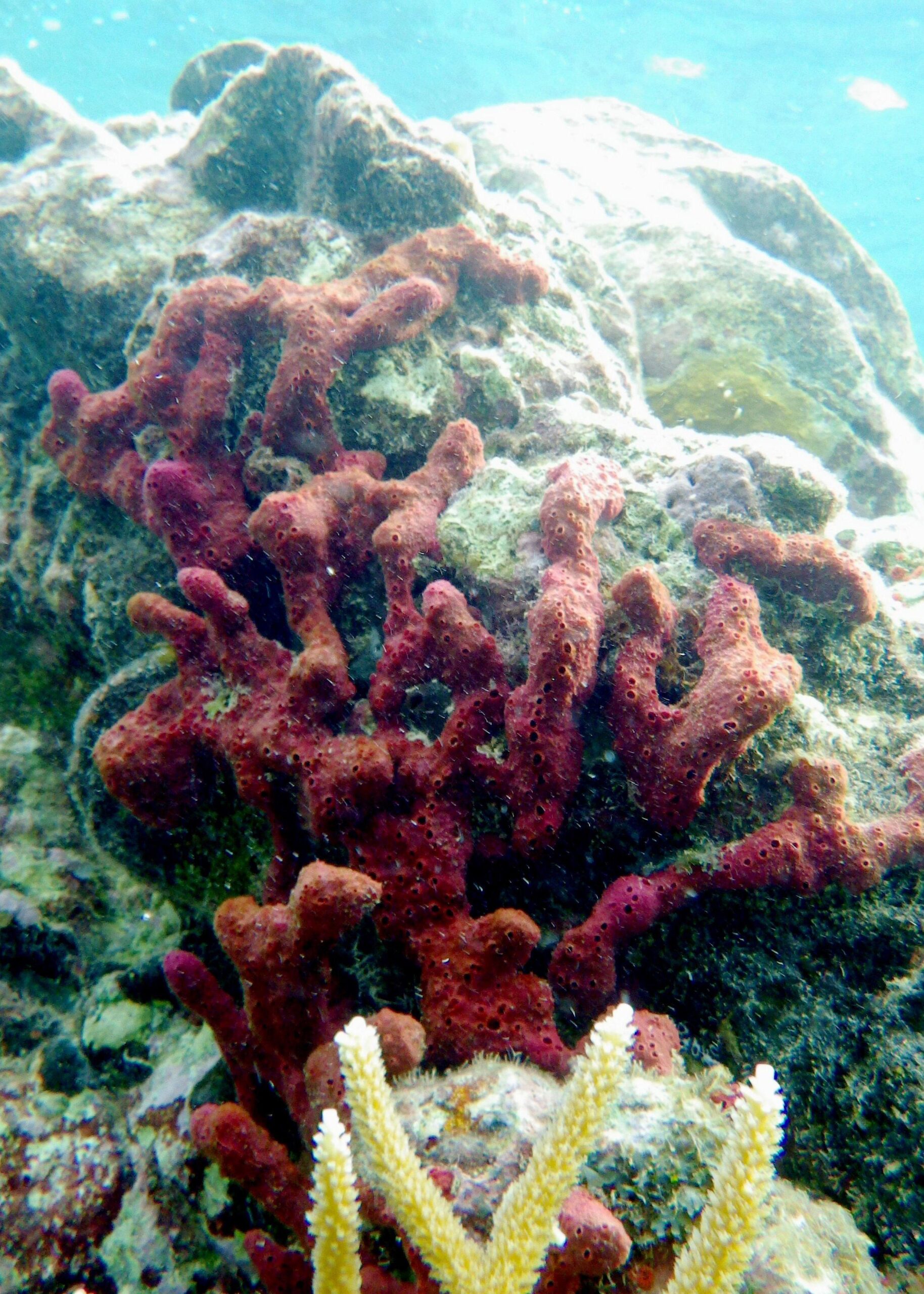
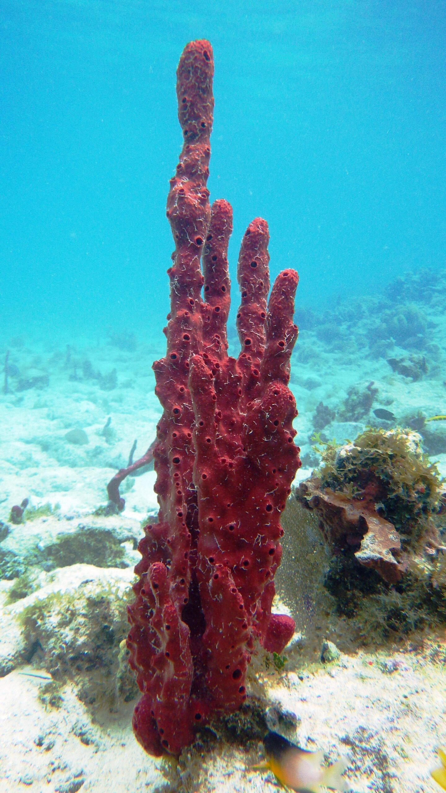
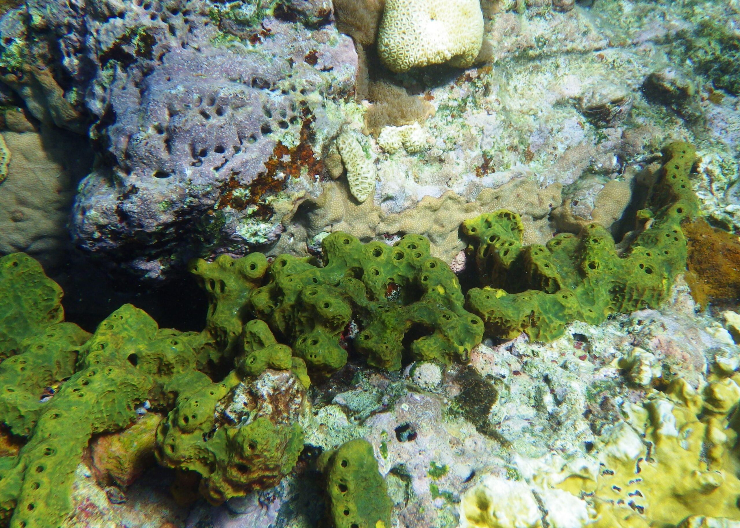
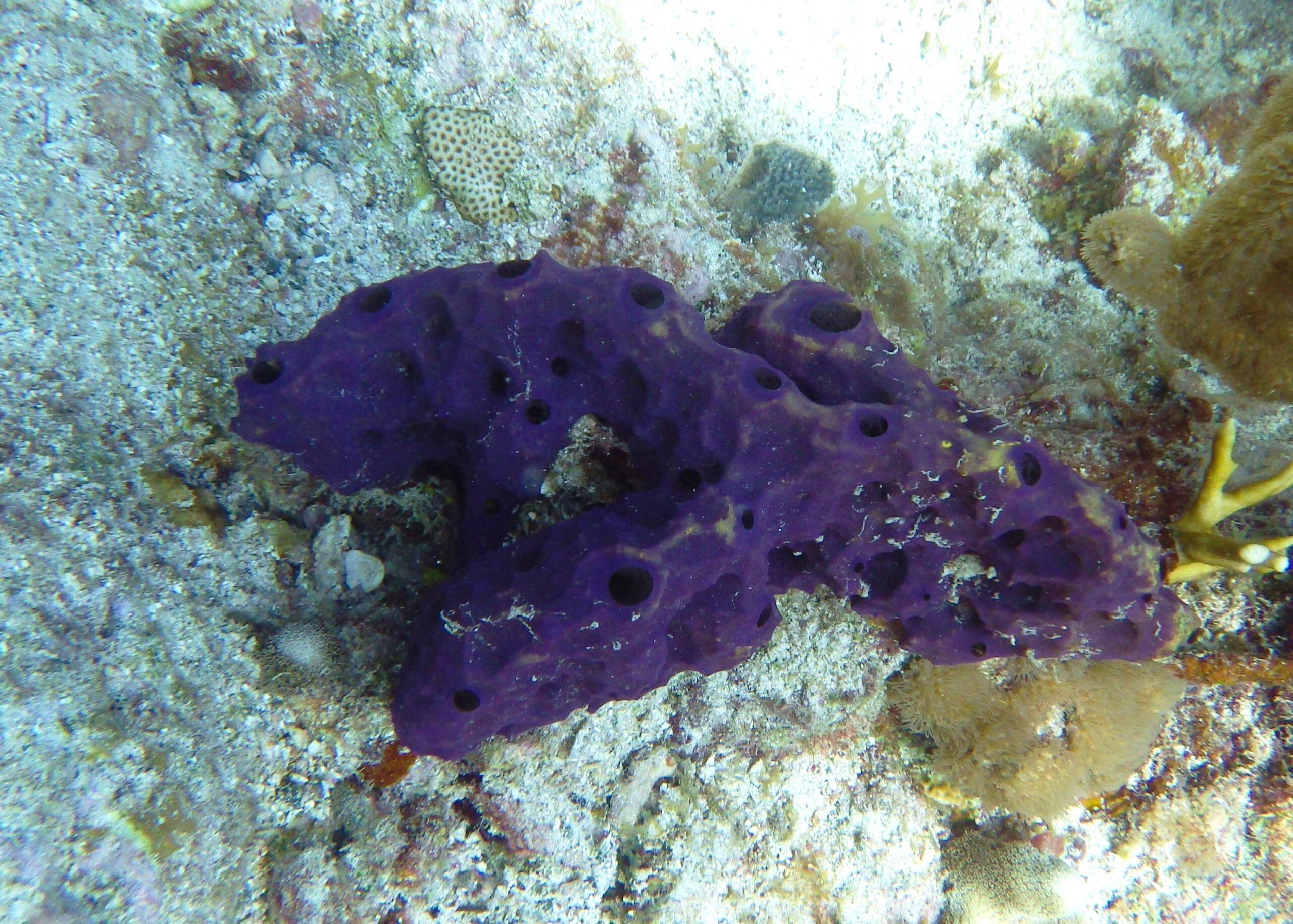
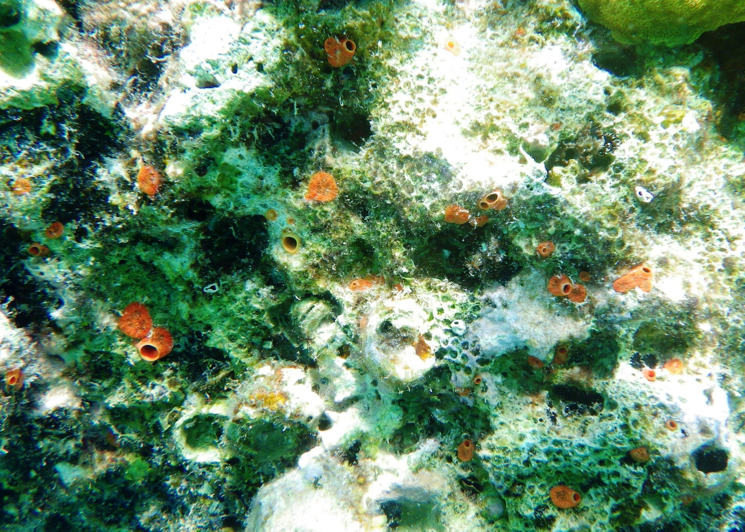
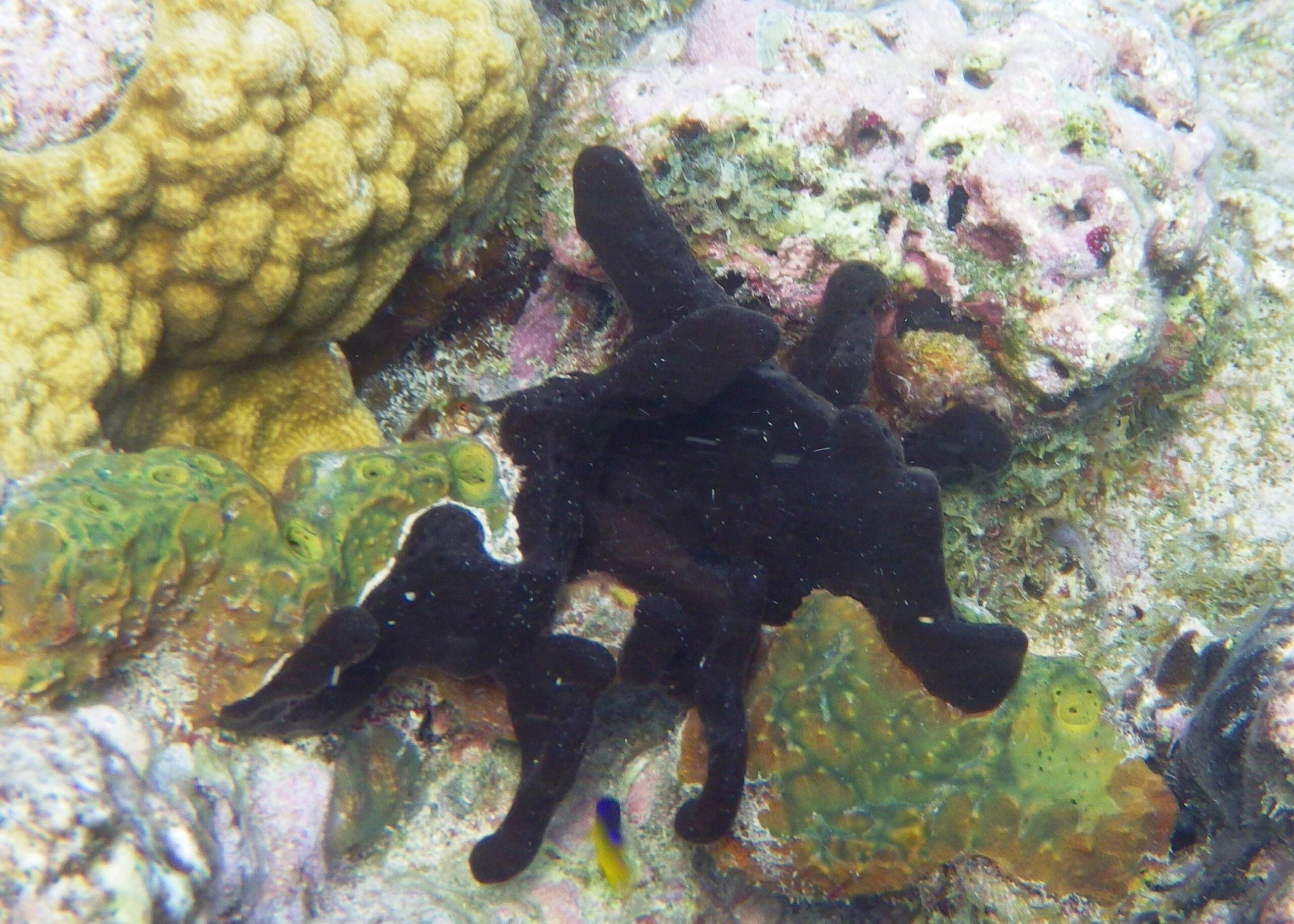
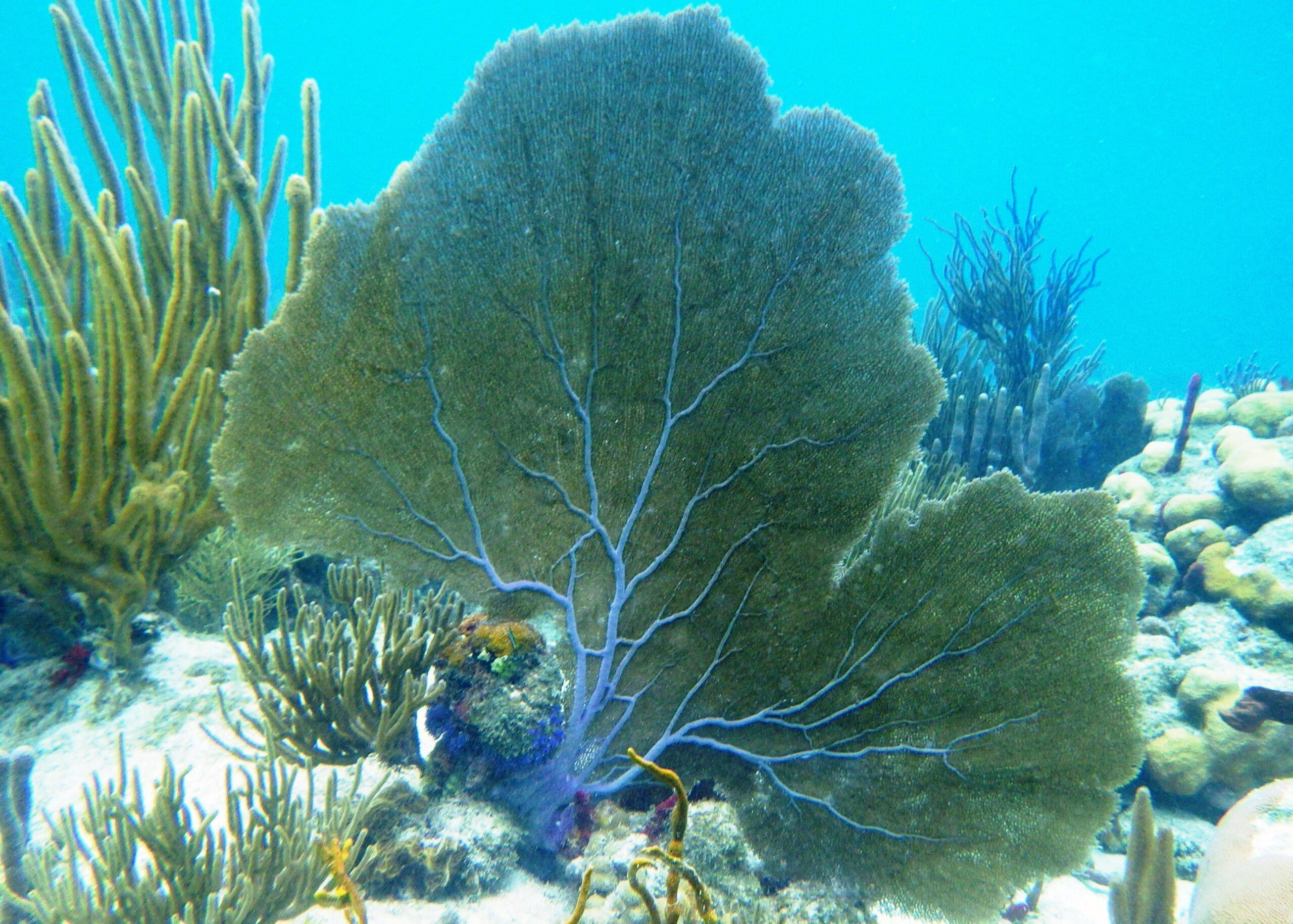
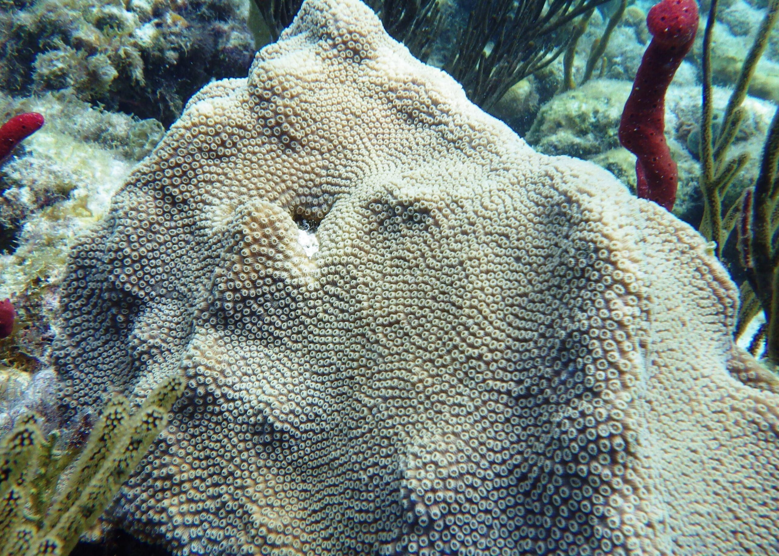
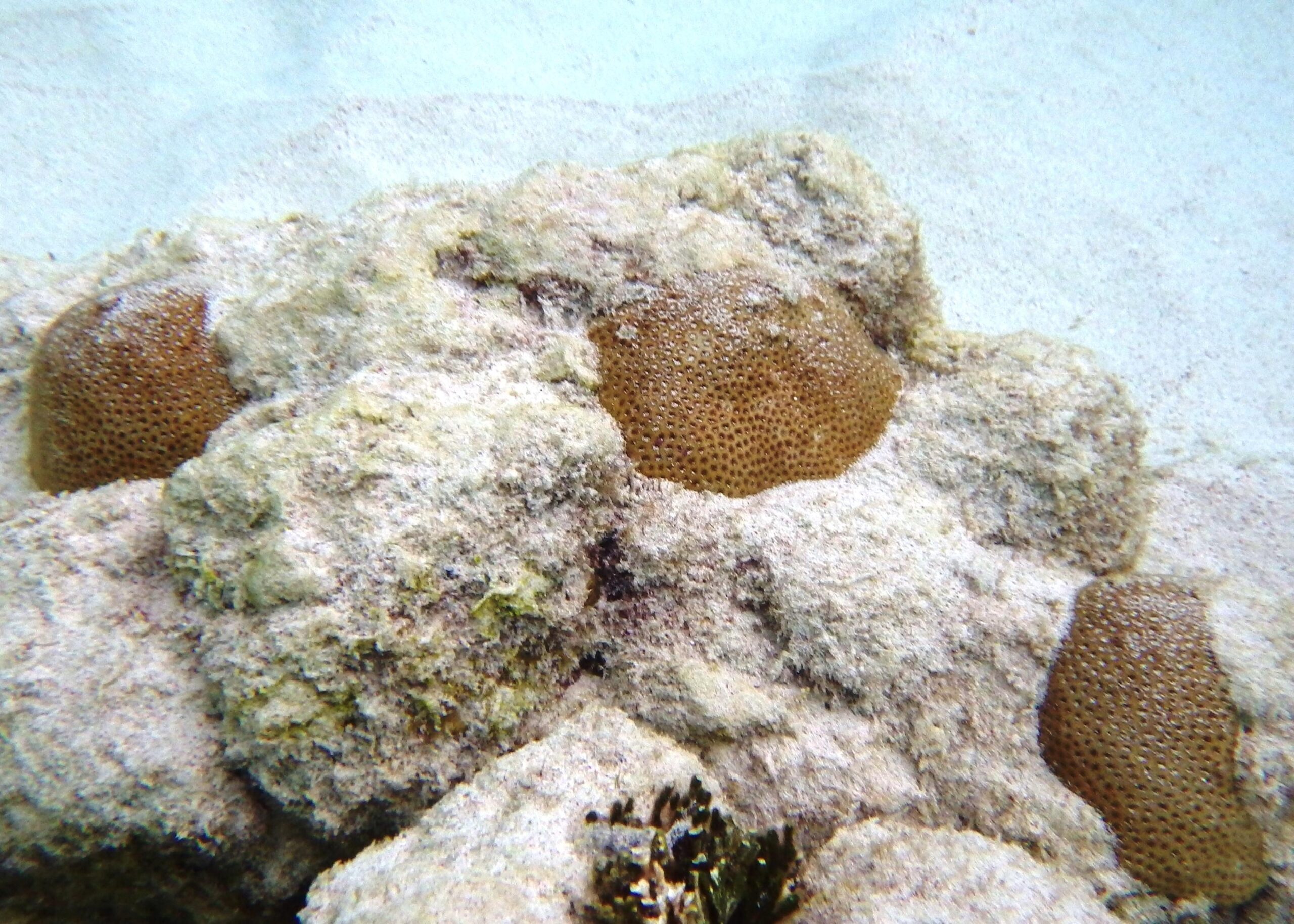
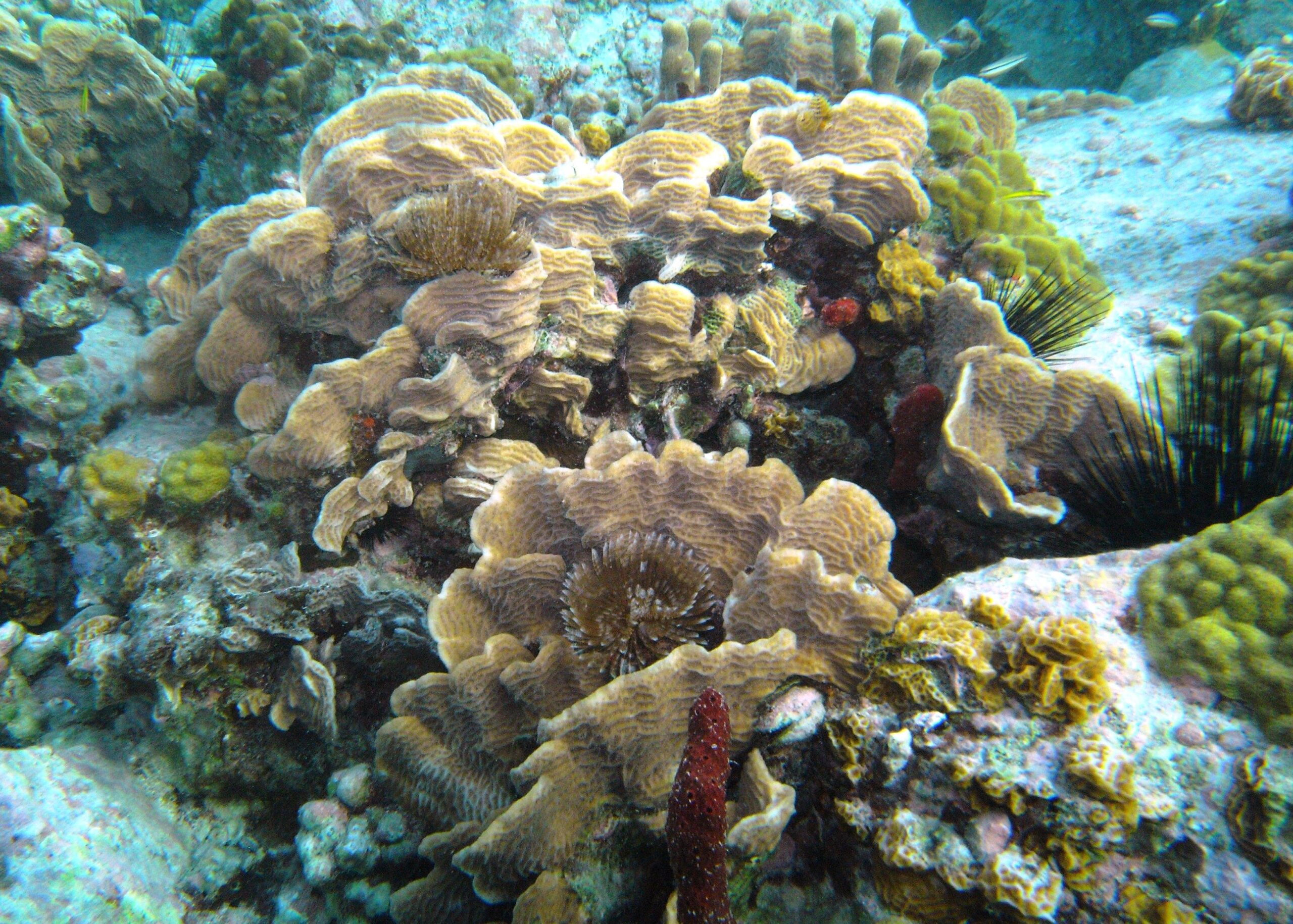
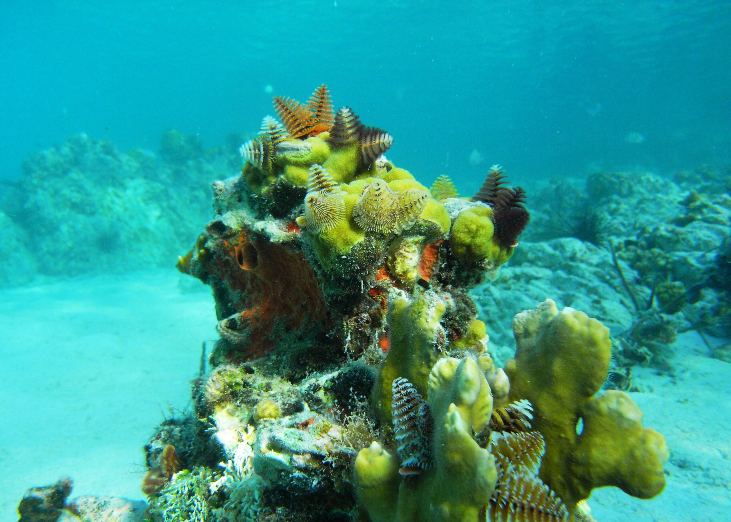
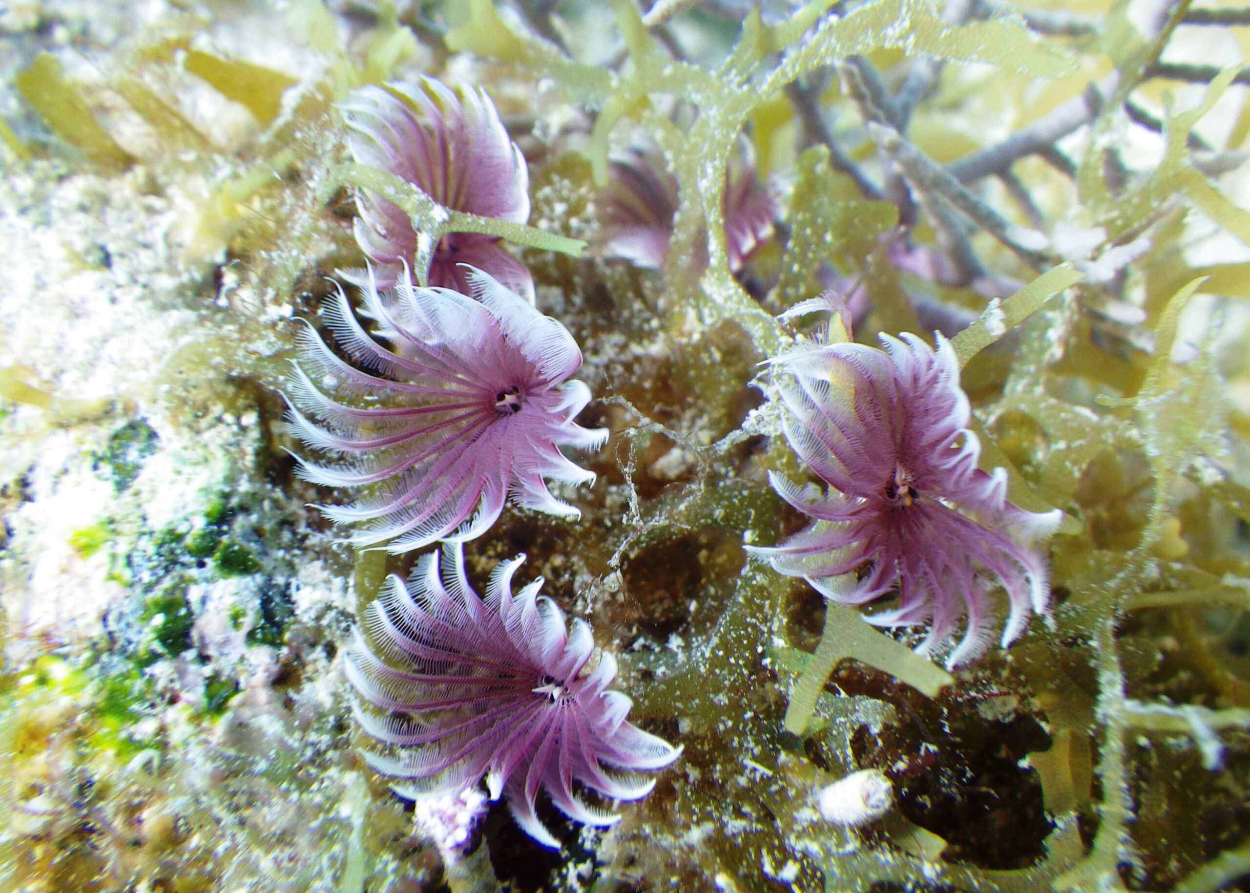
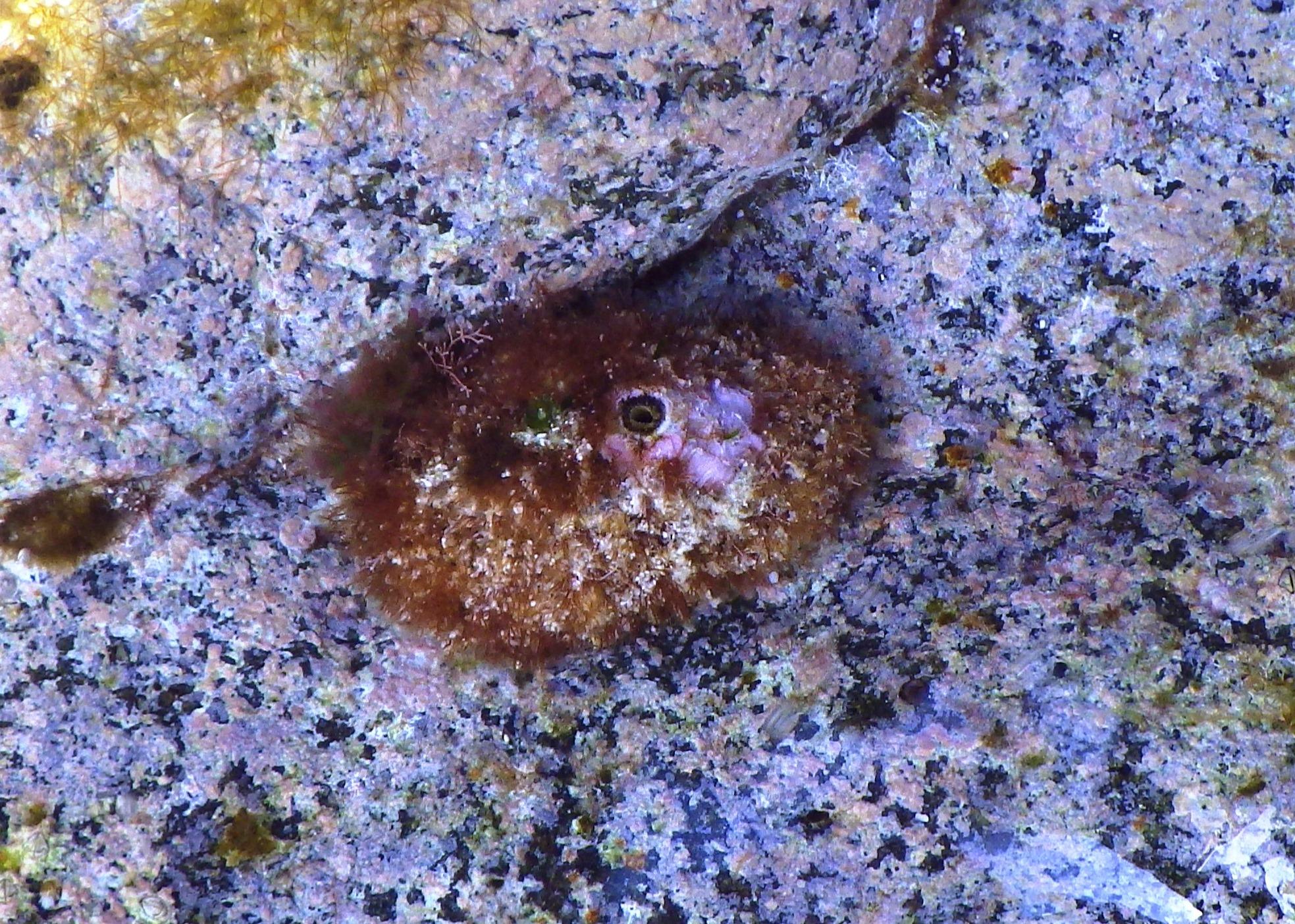
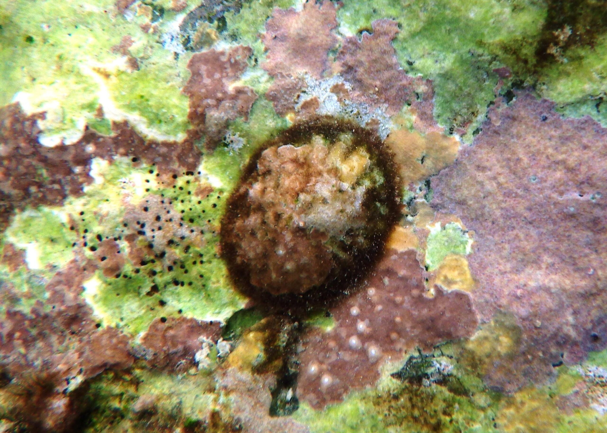
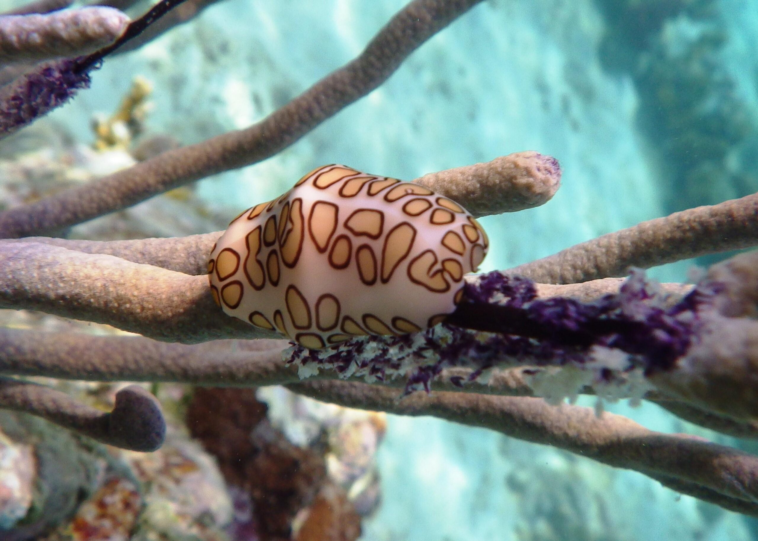
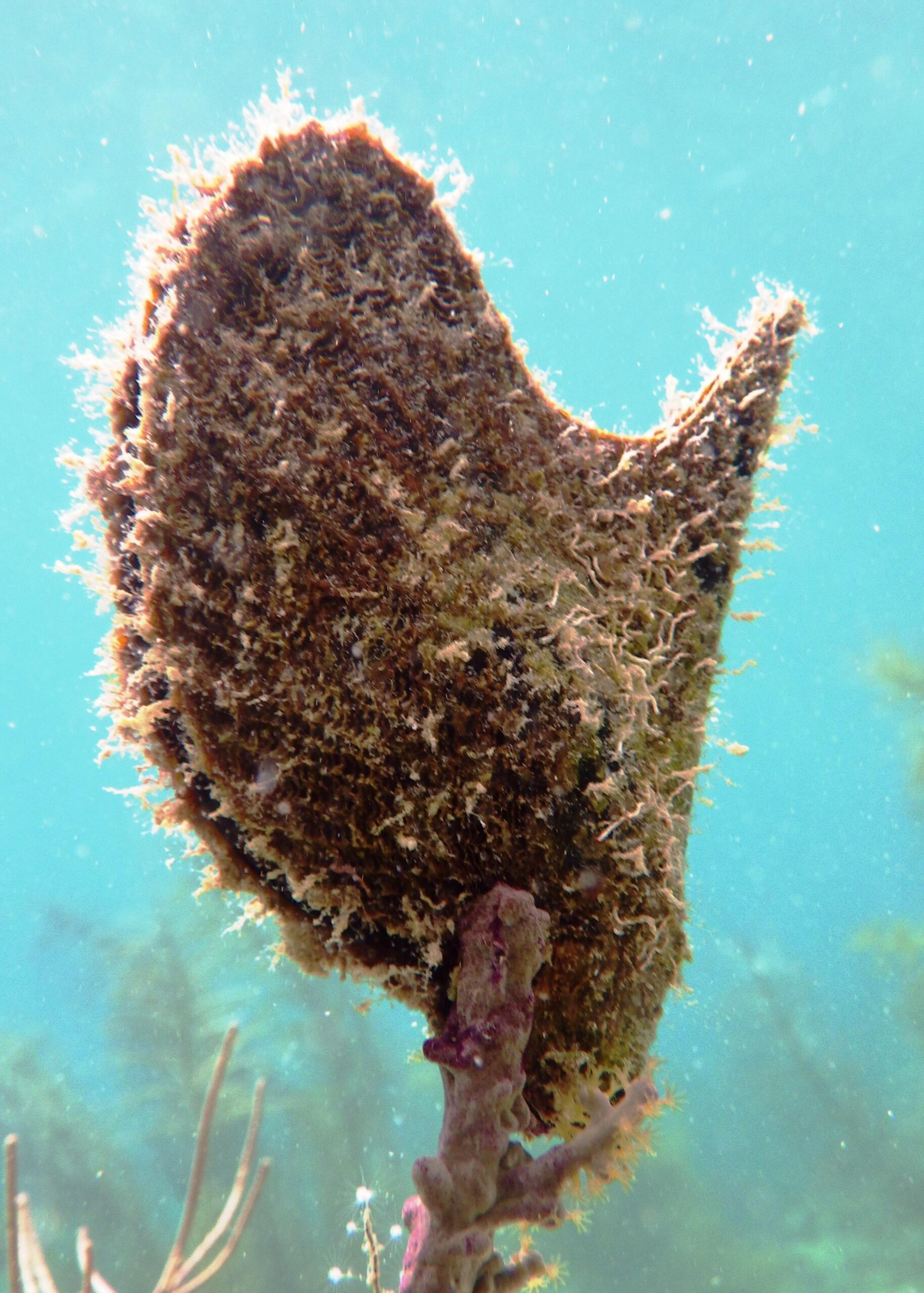
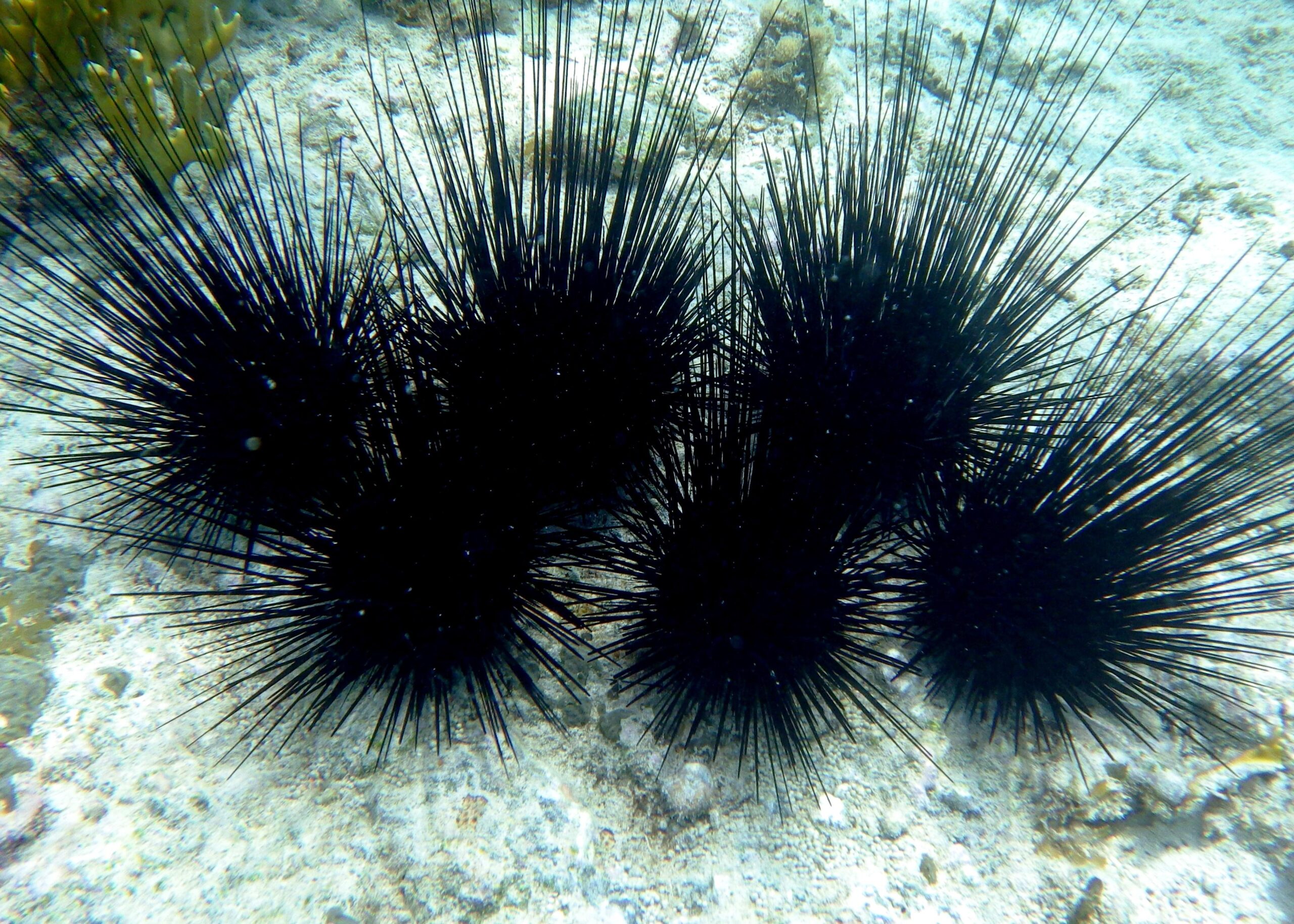
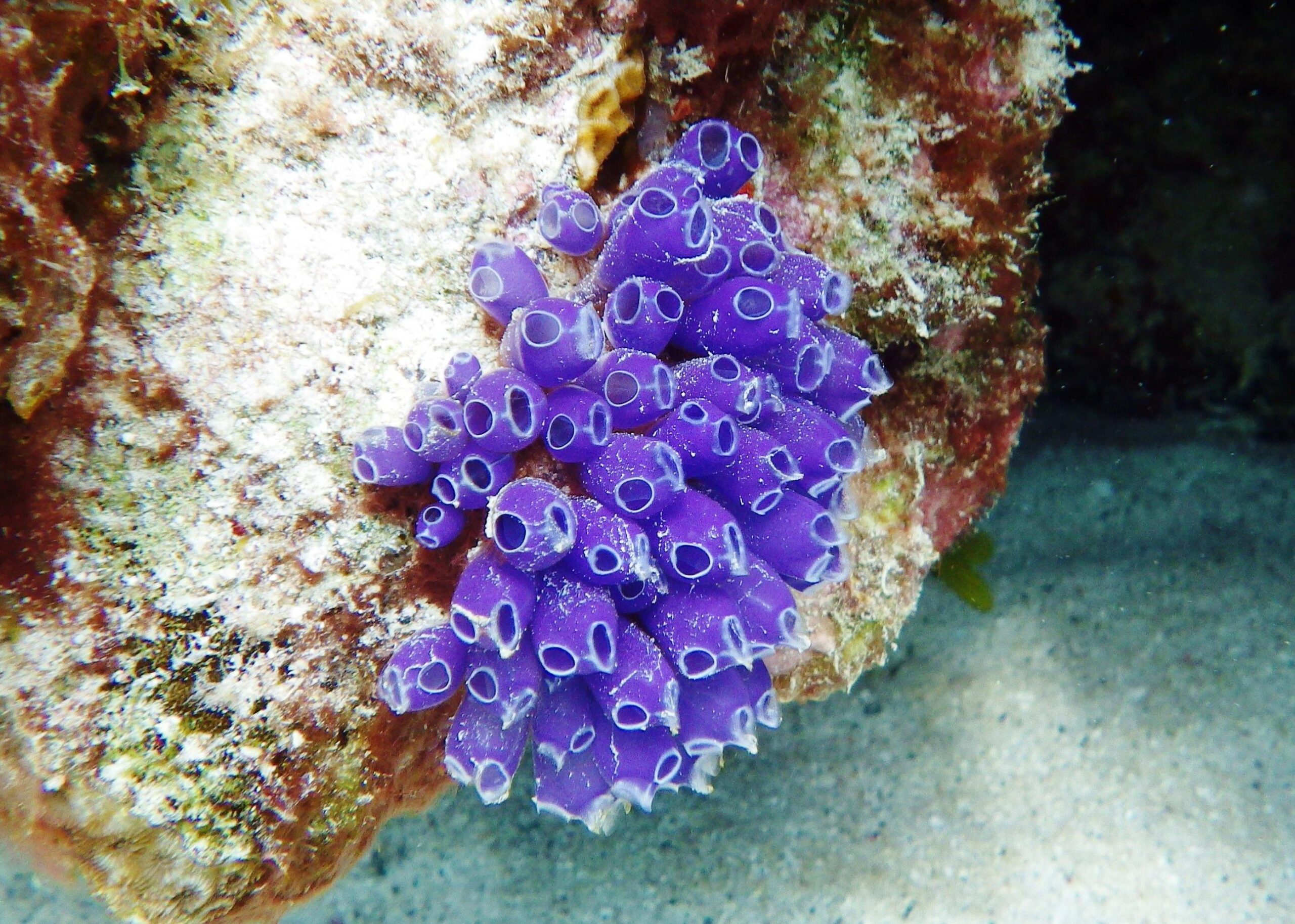
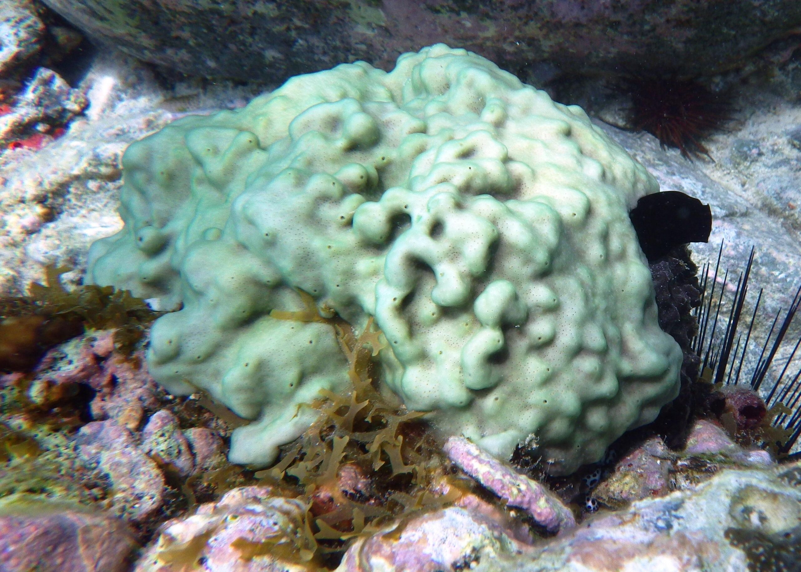
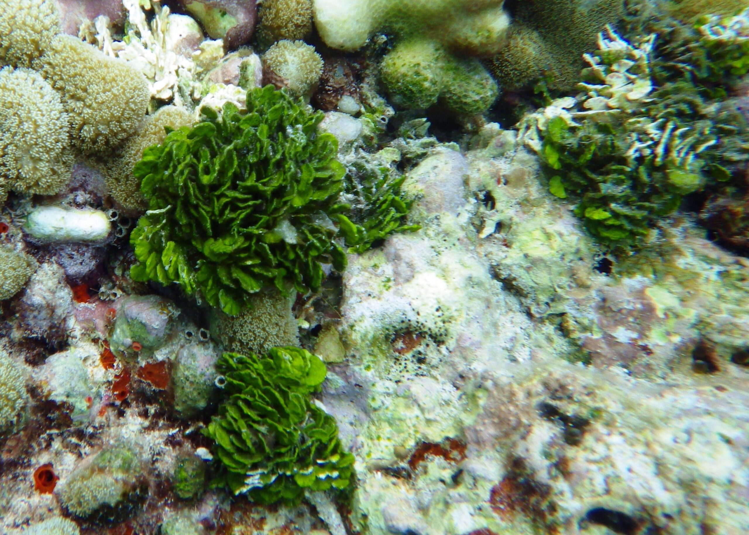
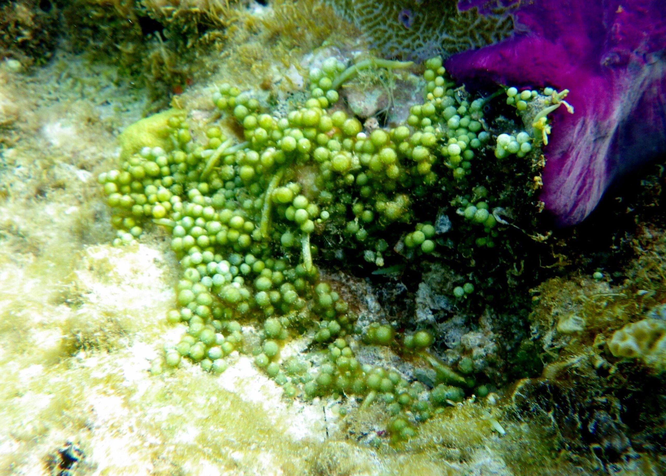
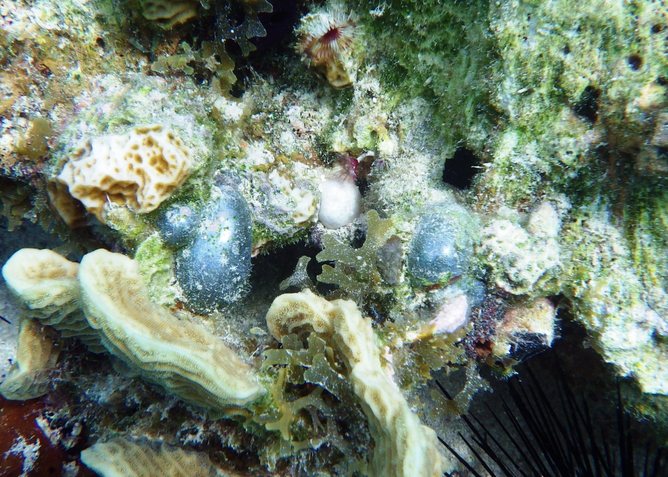
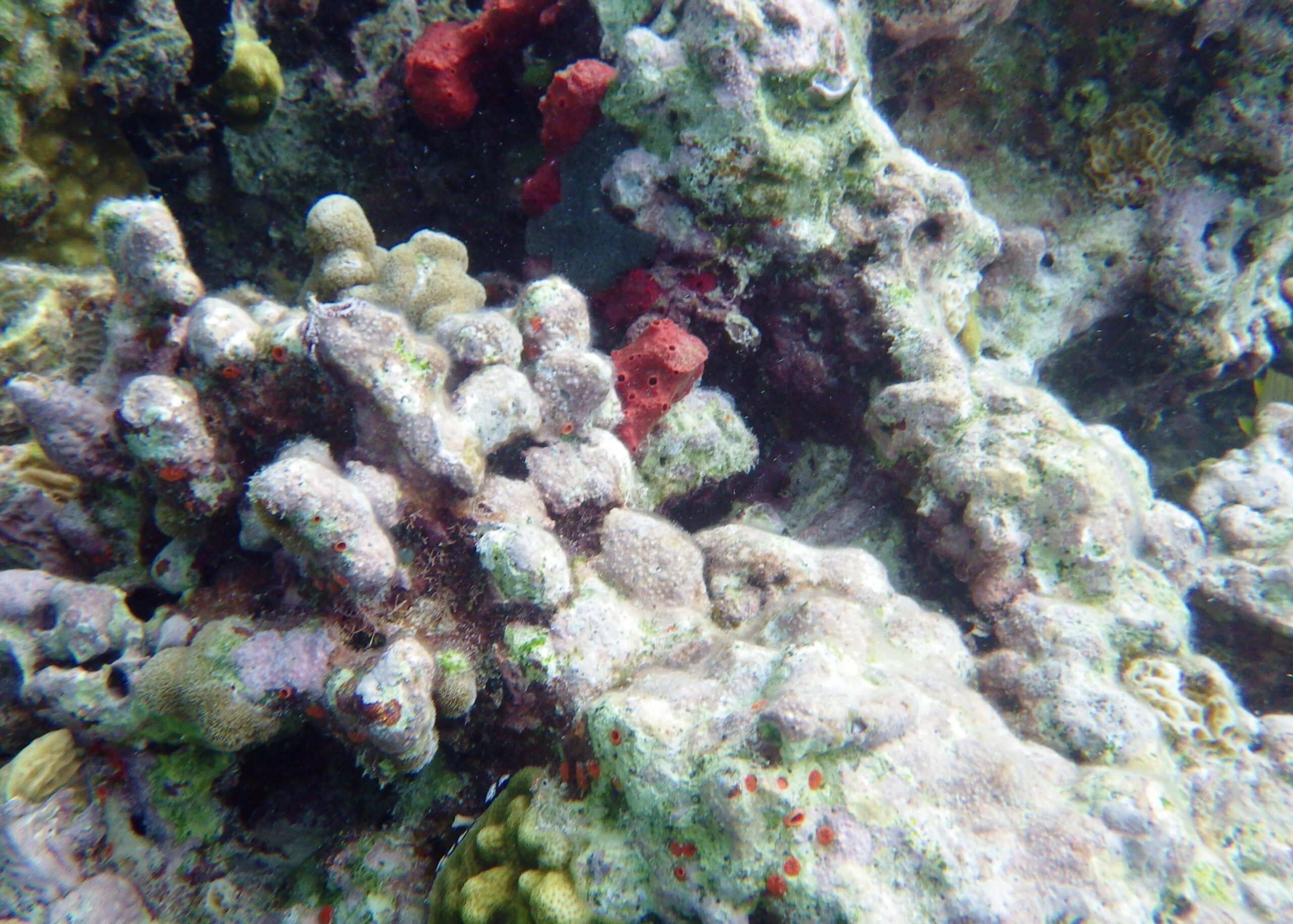
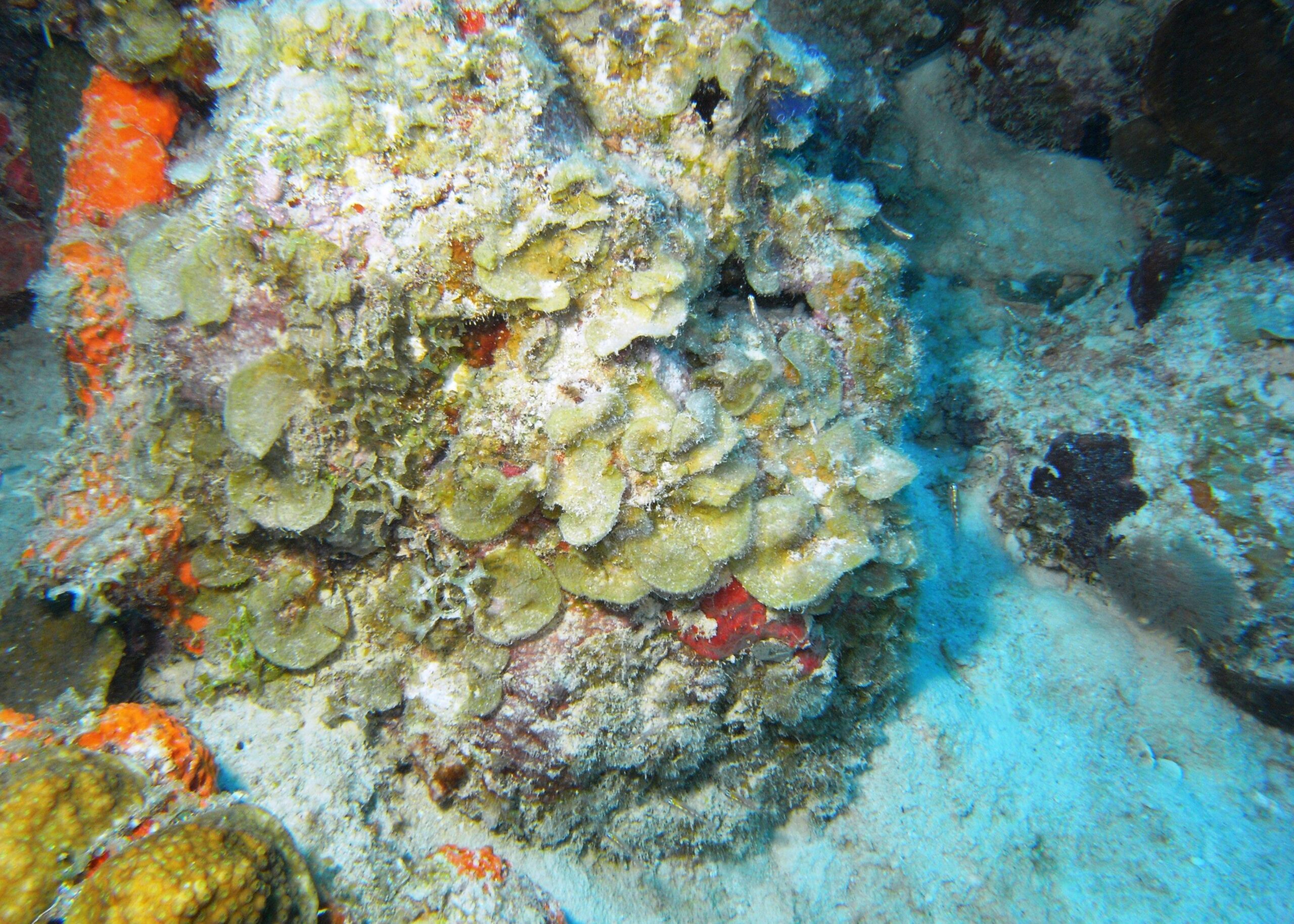
Honeymoon Beach (area 1). Access to the water is easy along most of the beach. The reef to the left hand side of the beach has some good examples of large sponge species. This reef area is relatively flat and gradually slopes into the sand and seagrass beds.
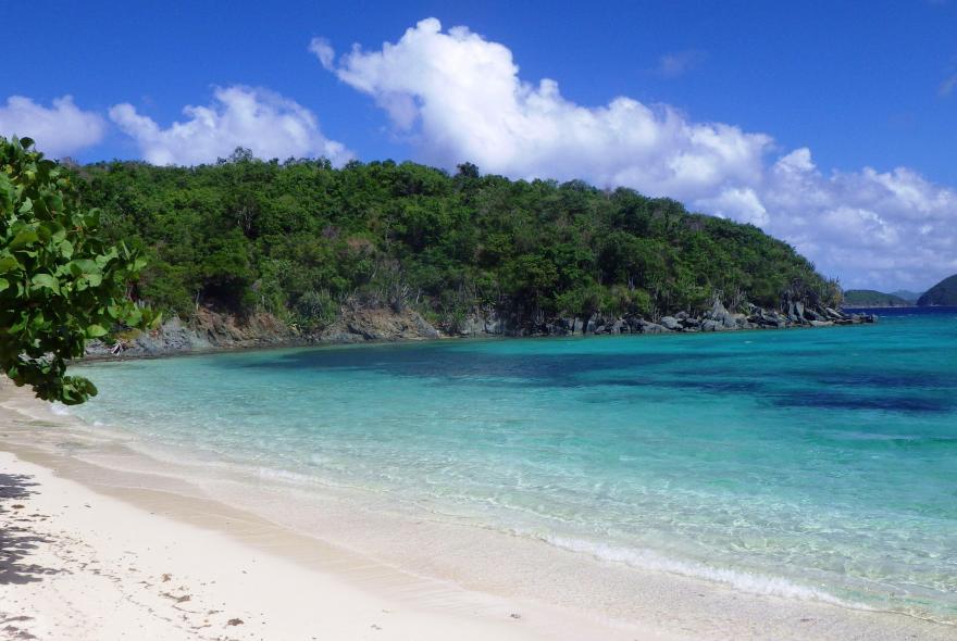
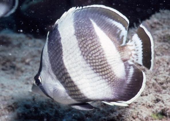
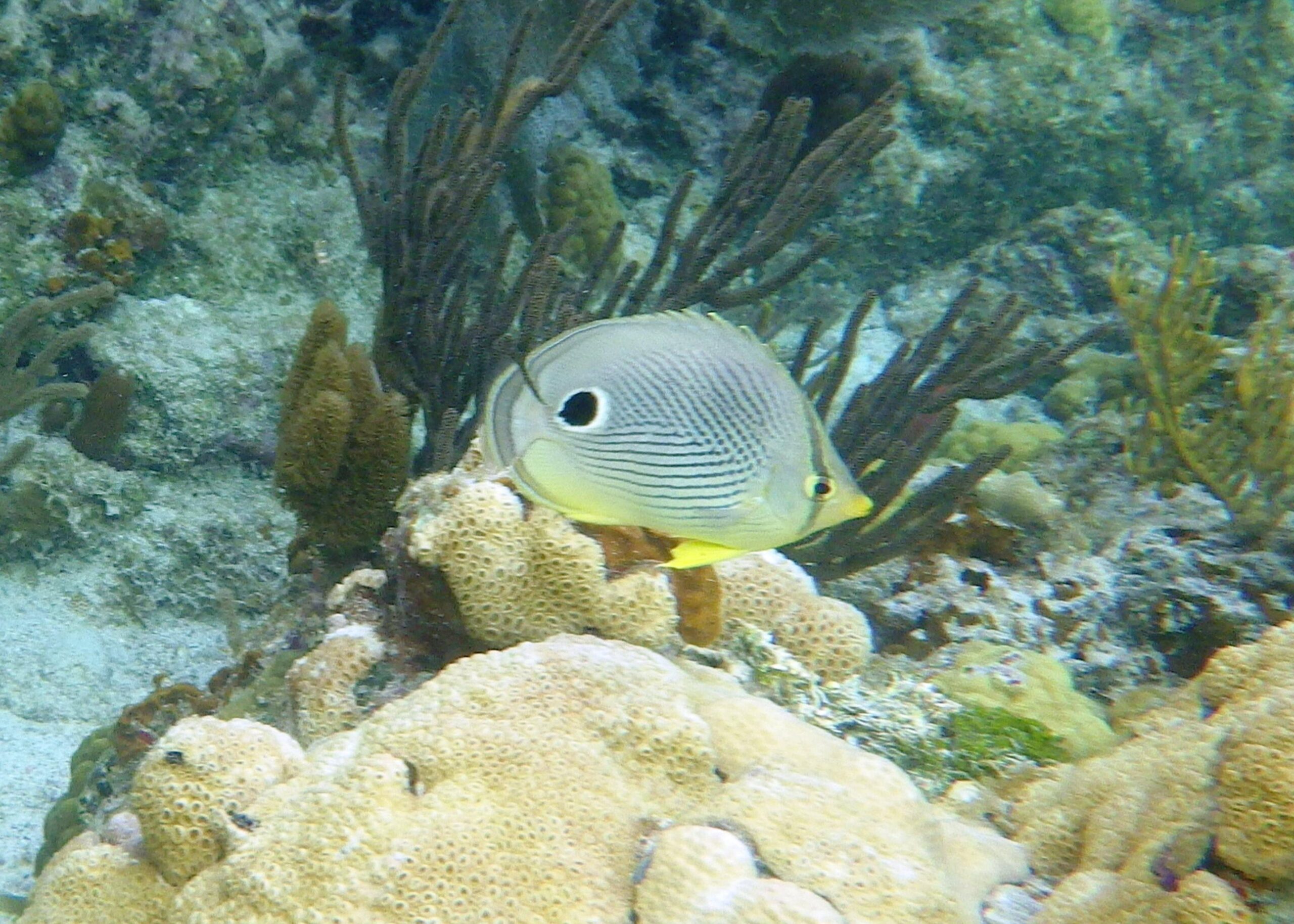
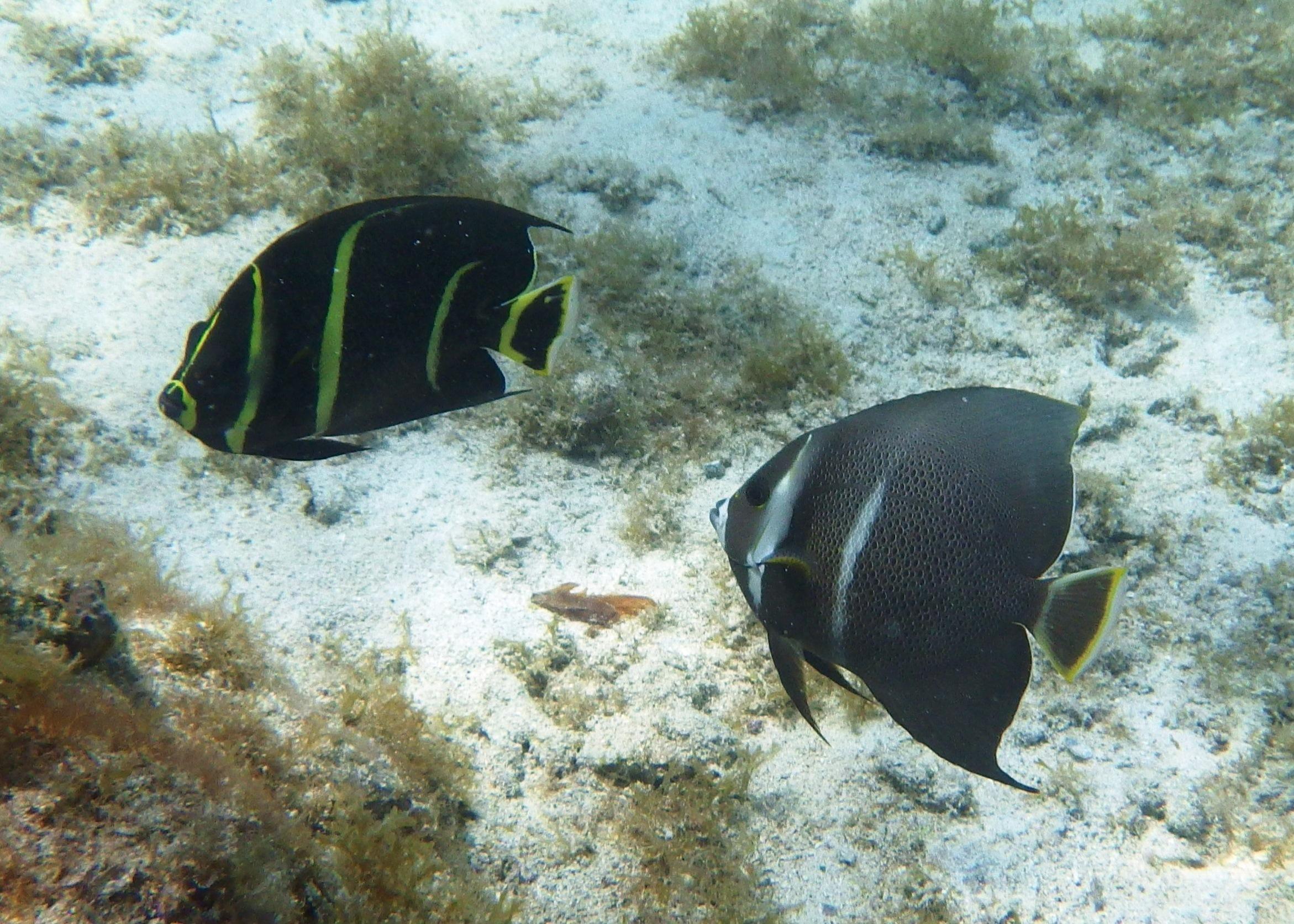
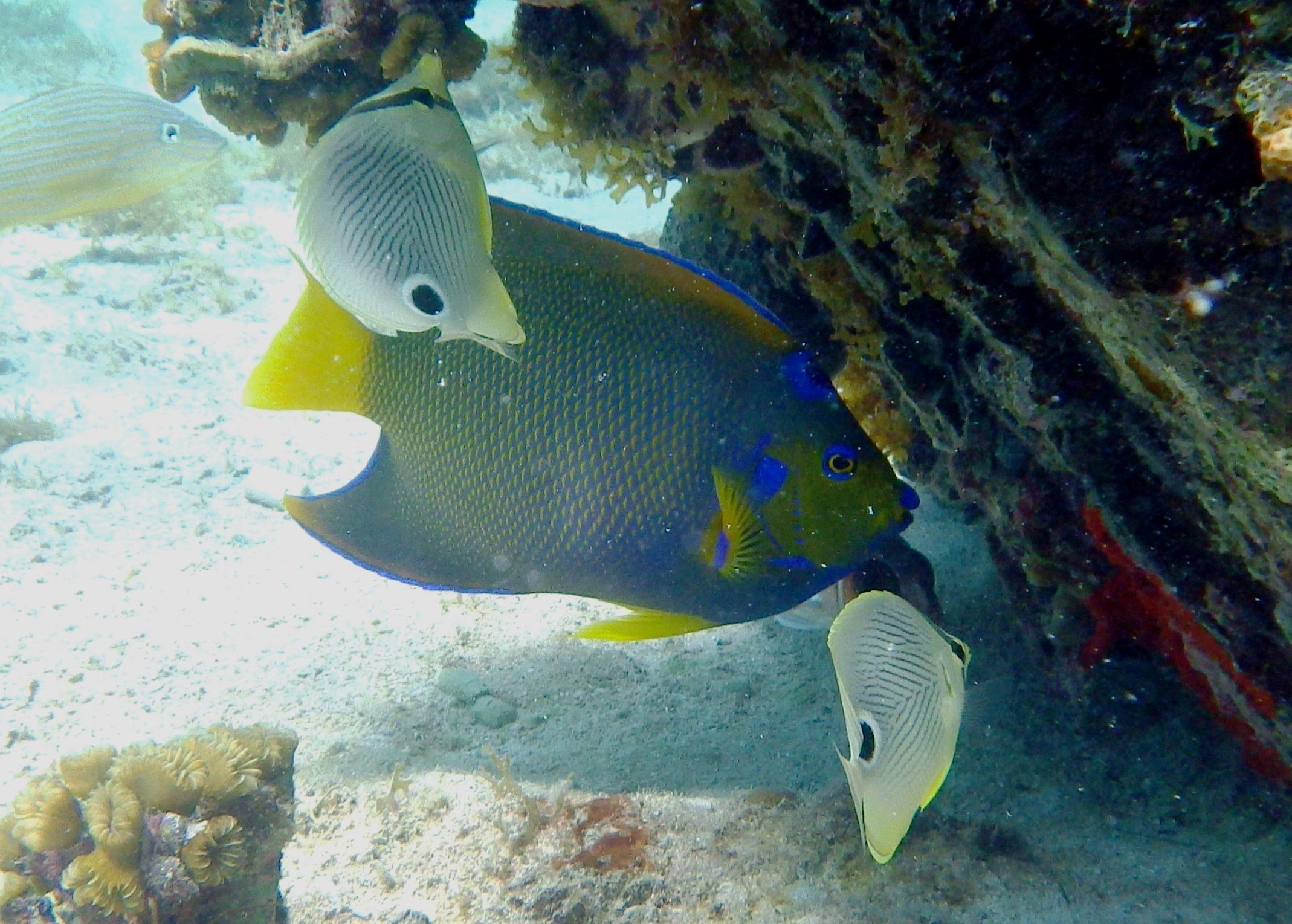
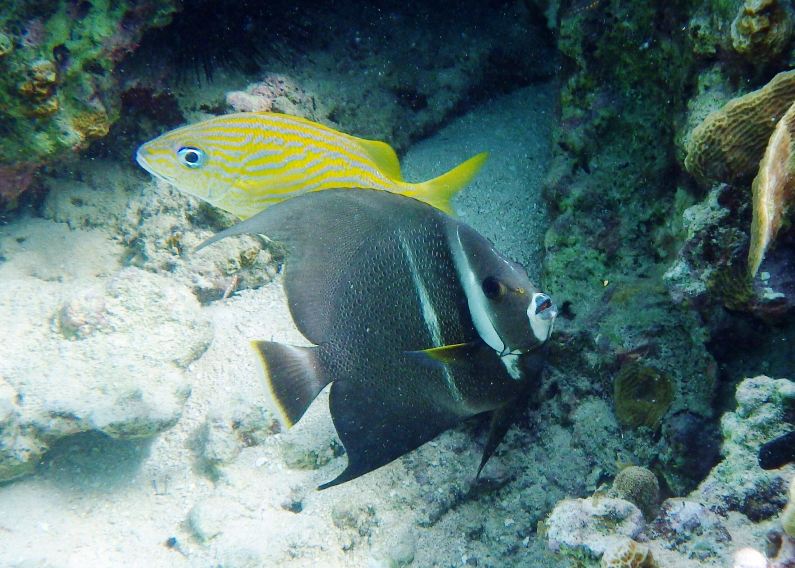
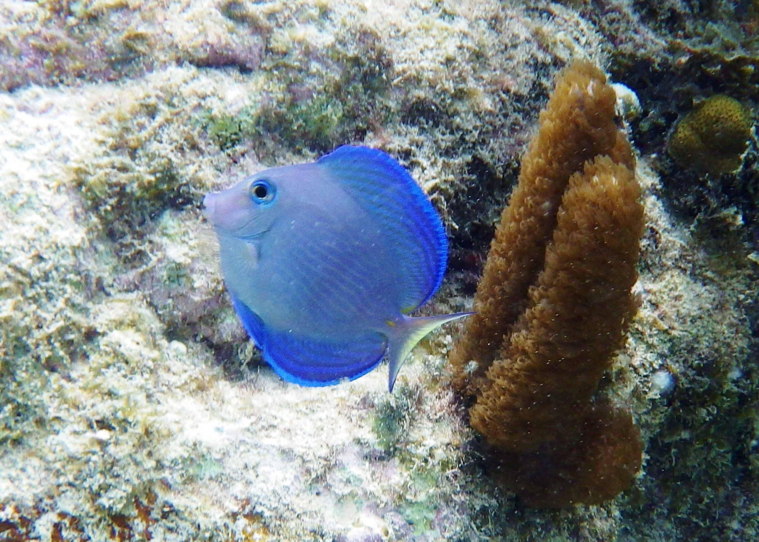
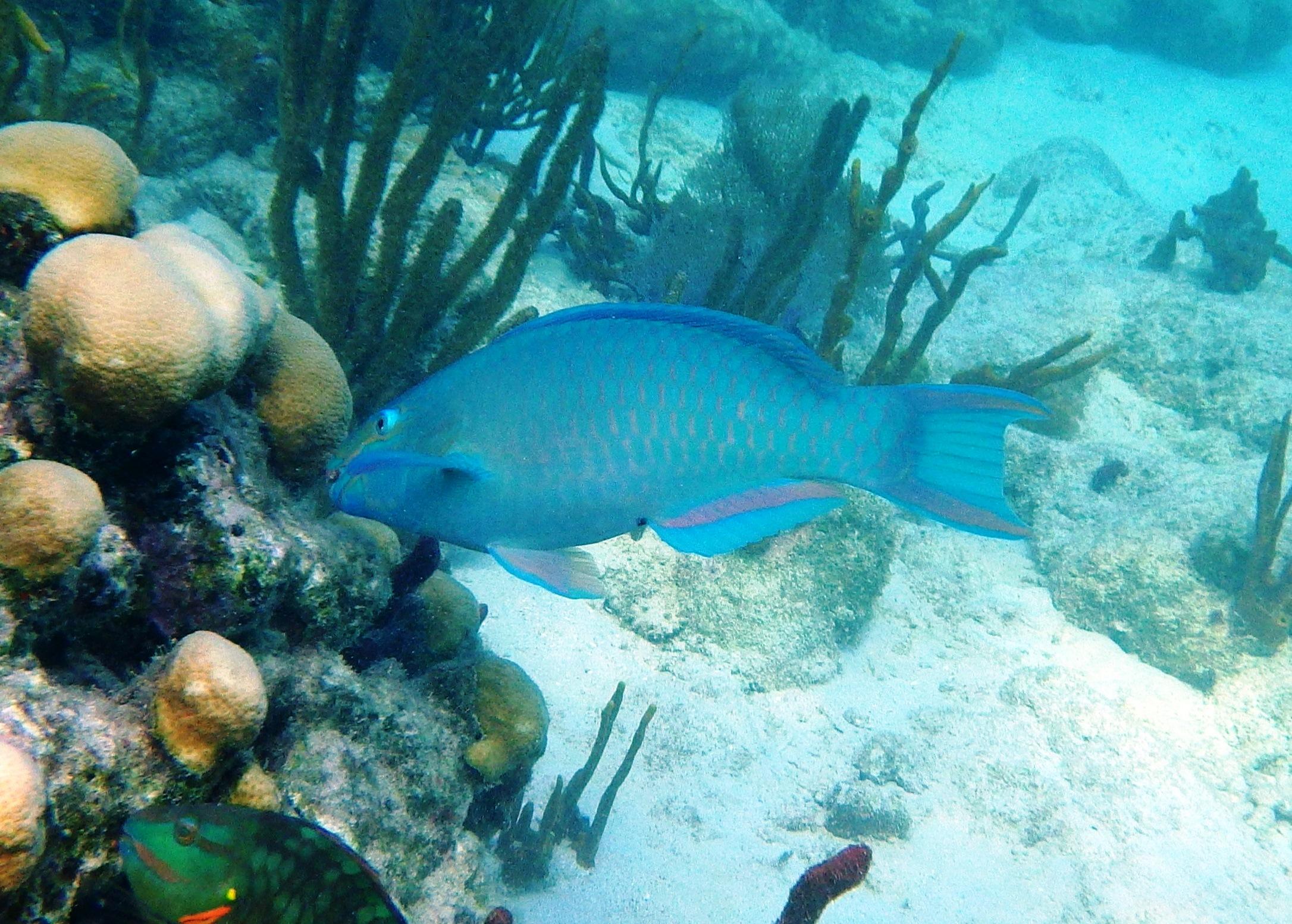
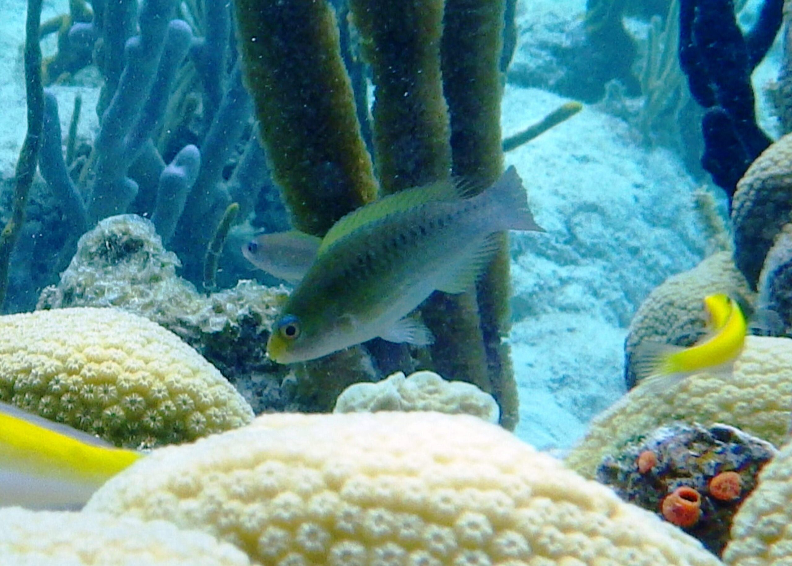
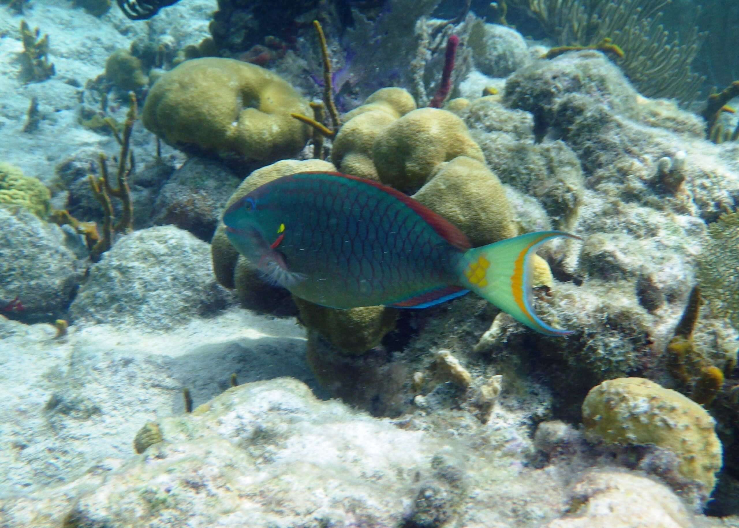
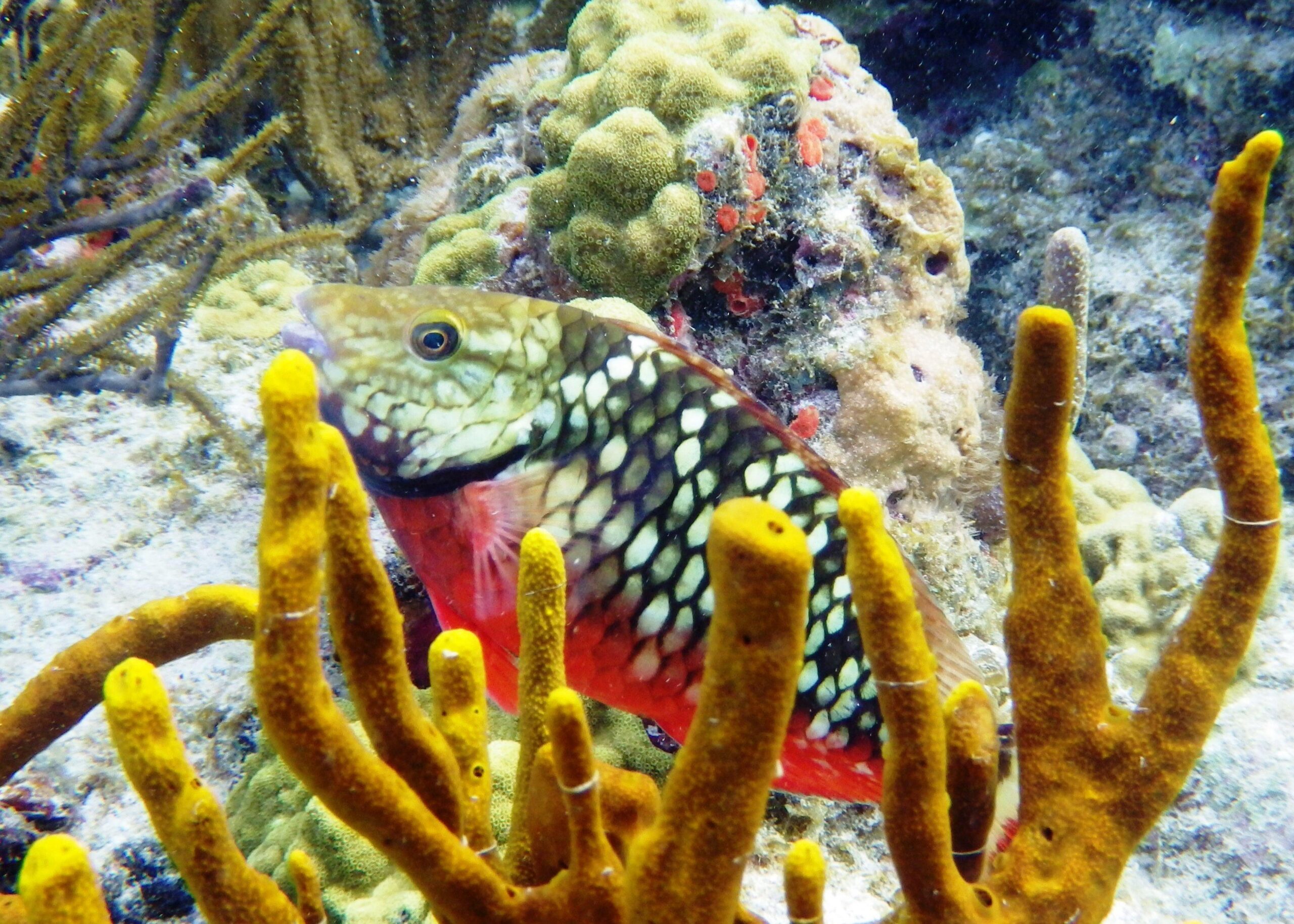
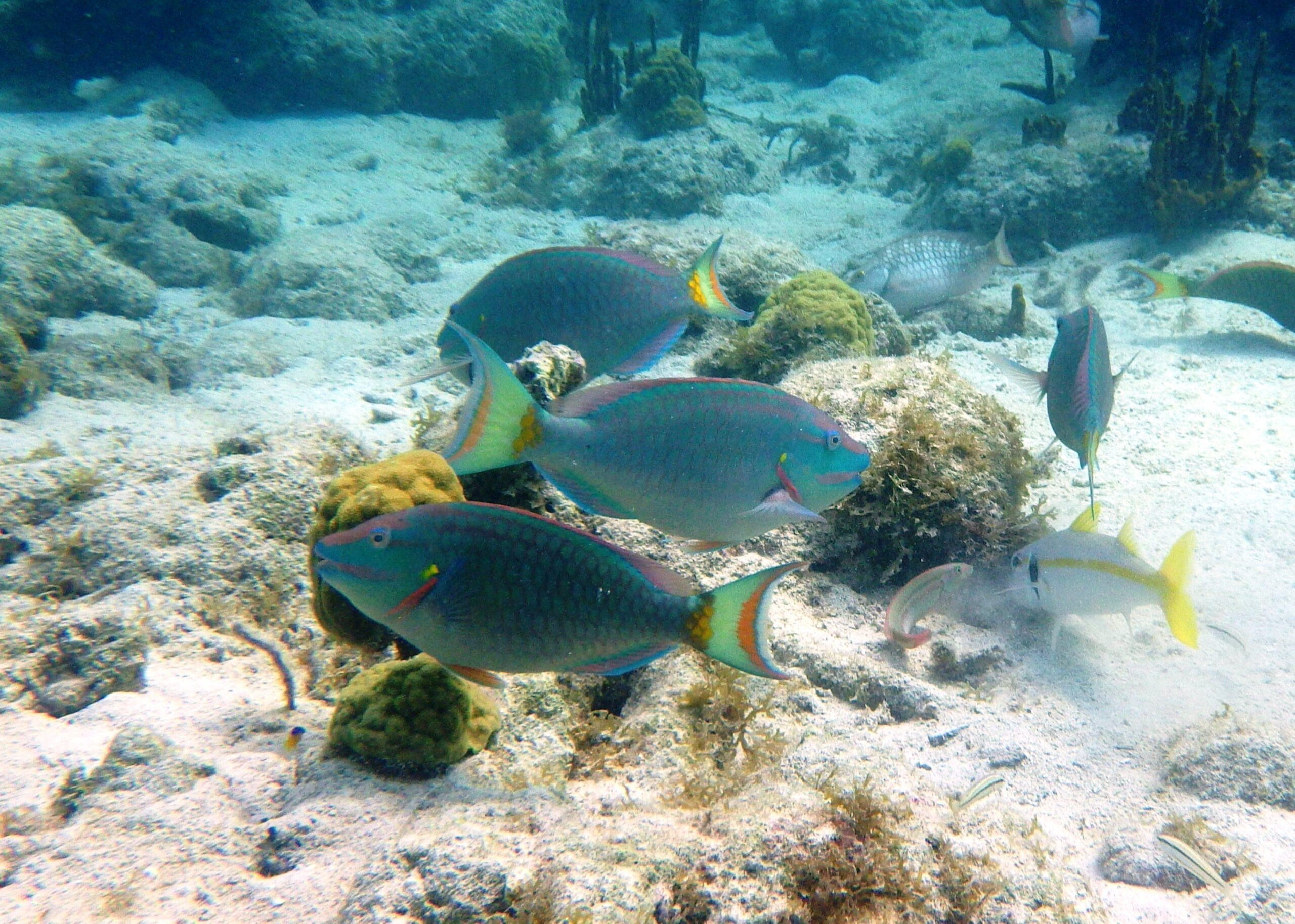
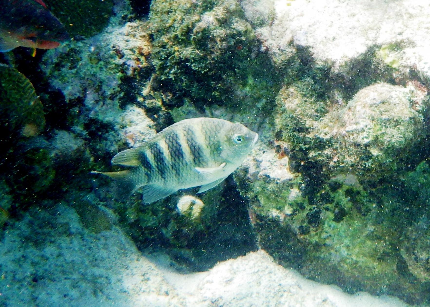
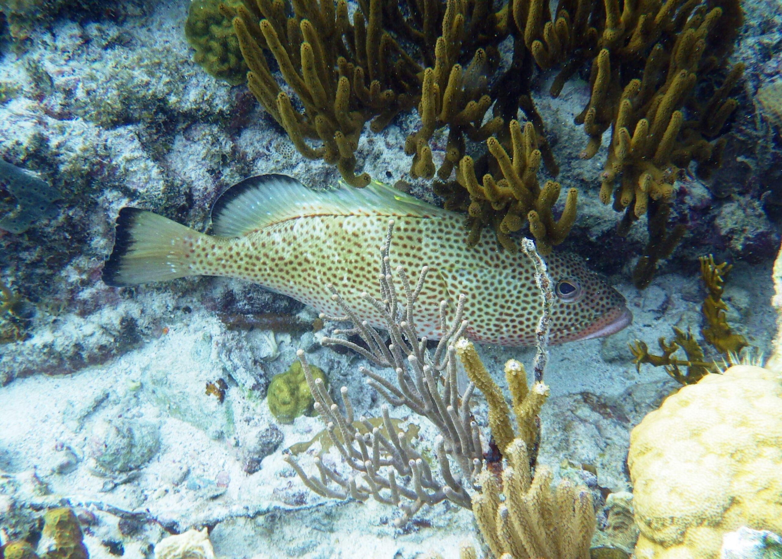
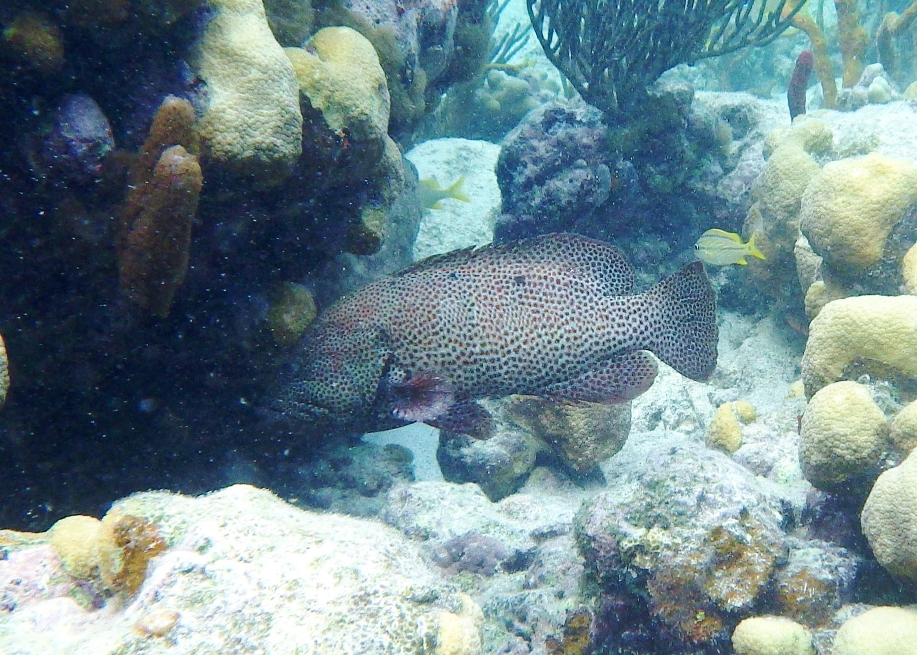
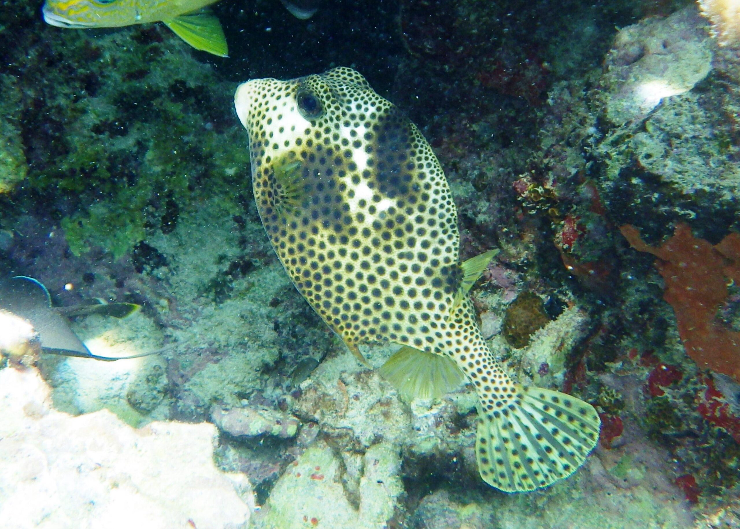
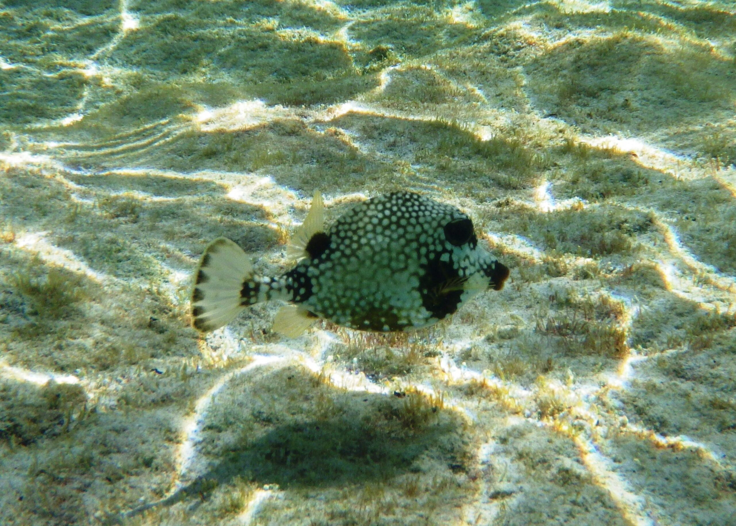
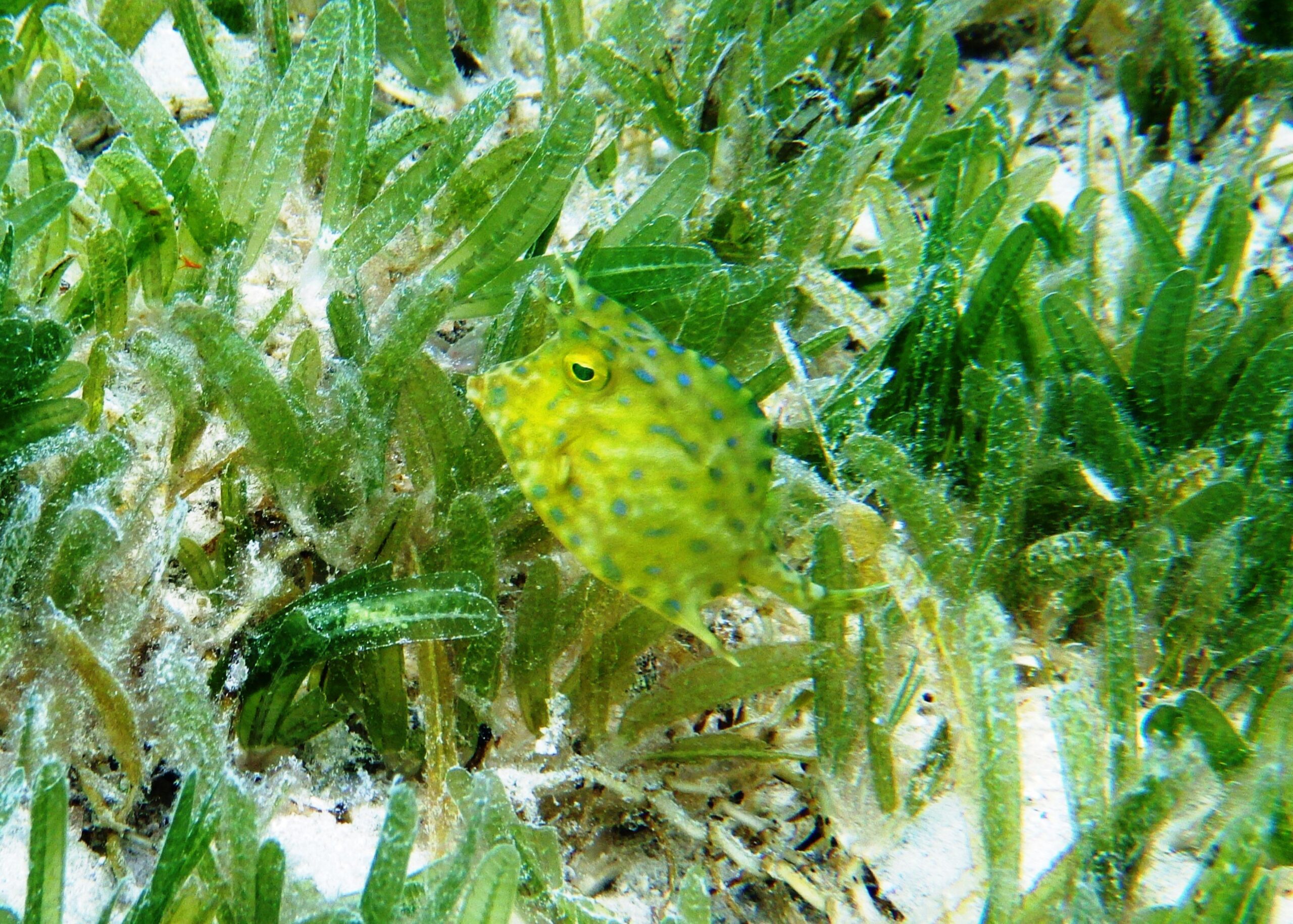
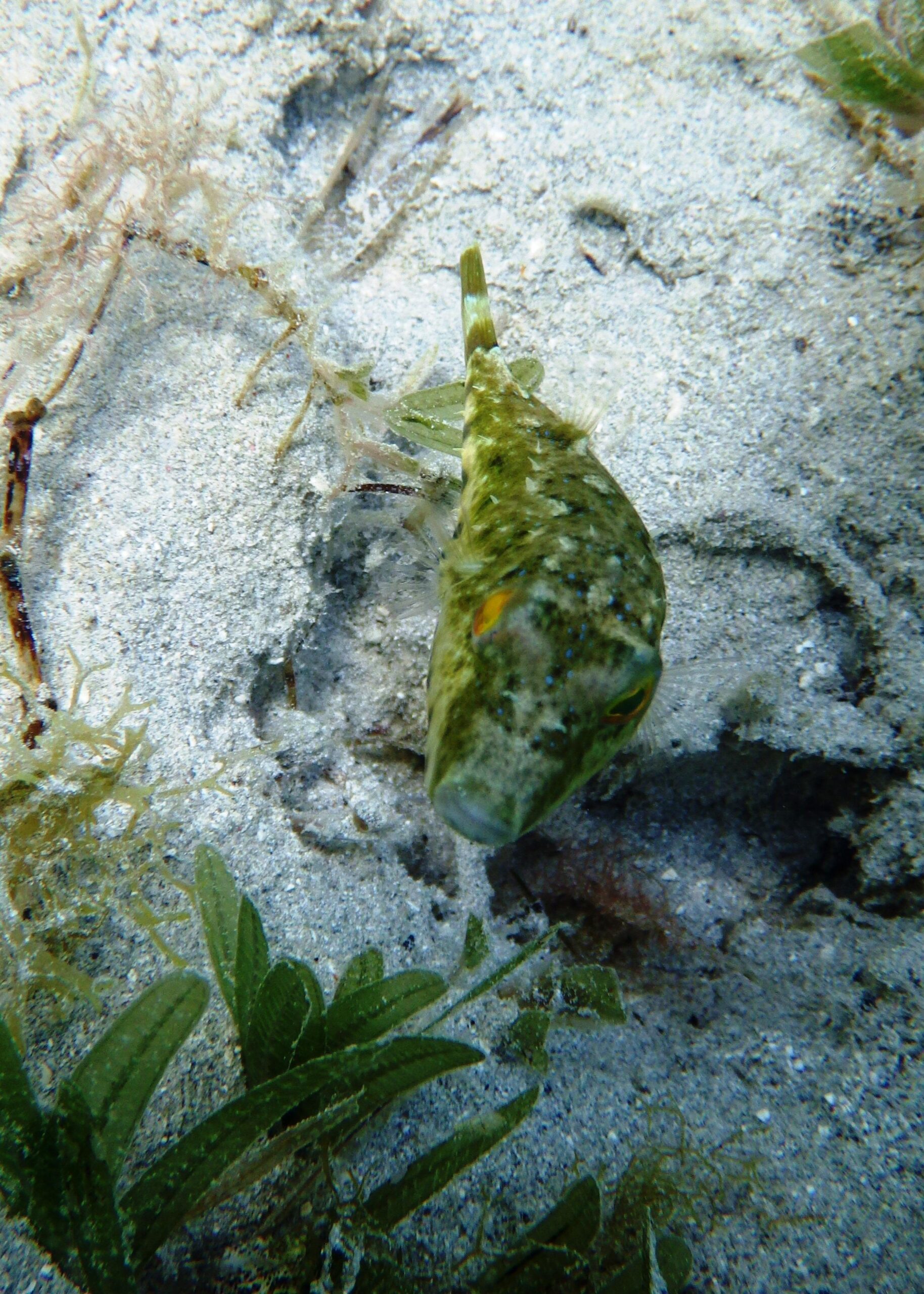
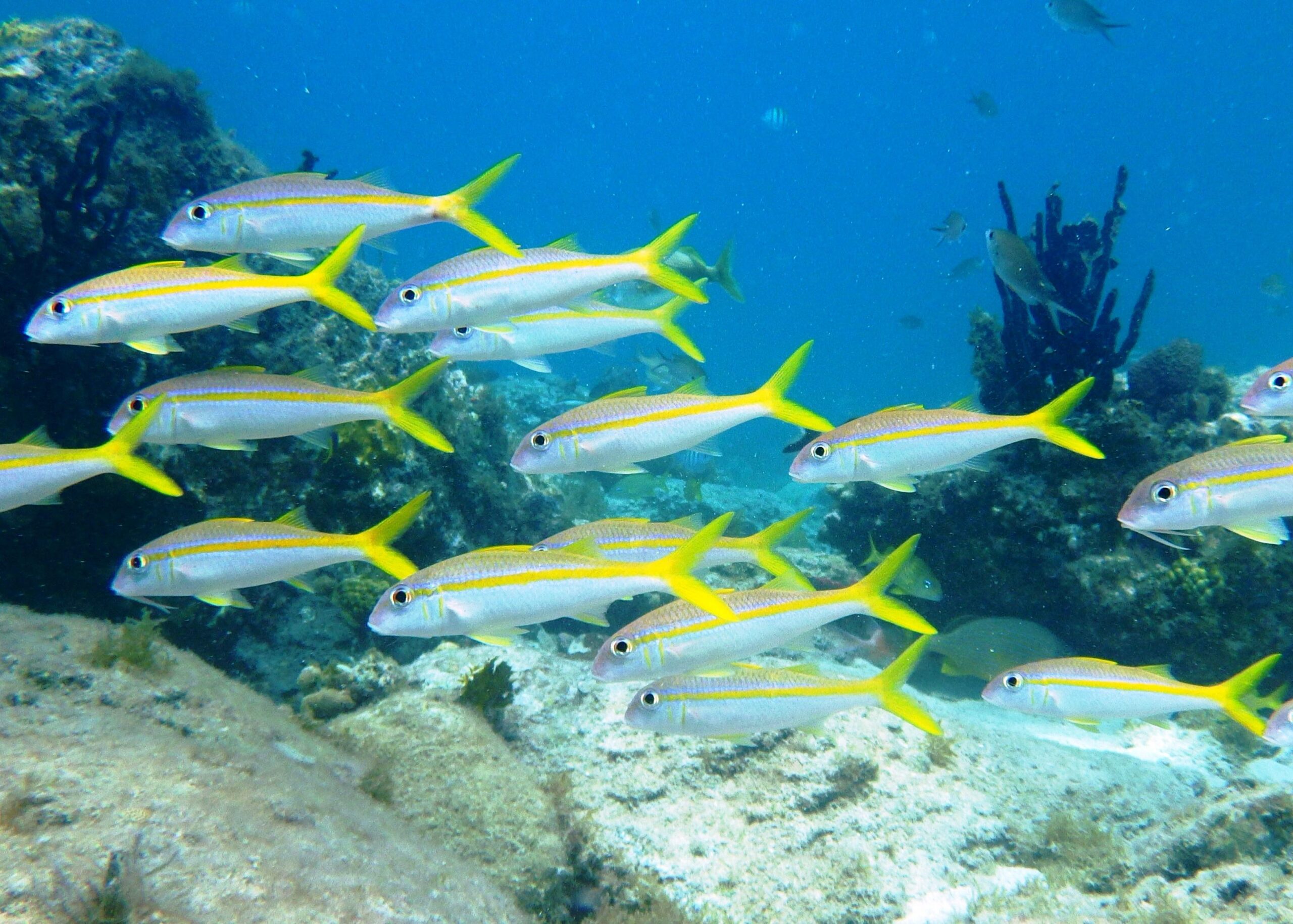
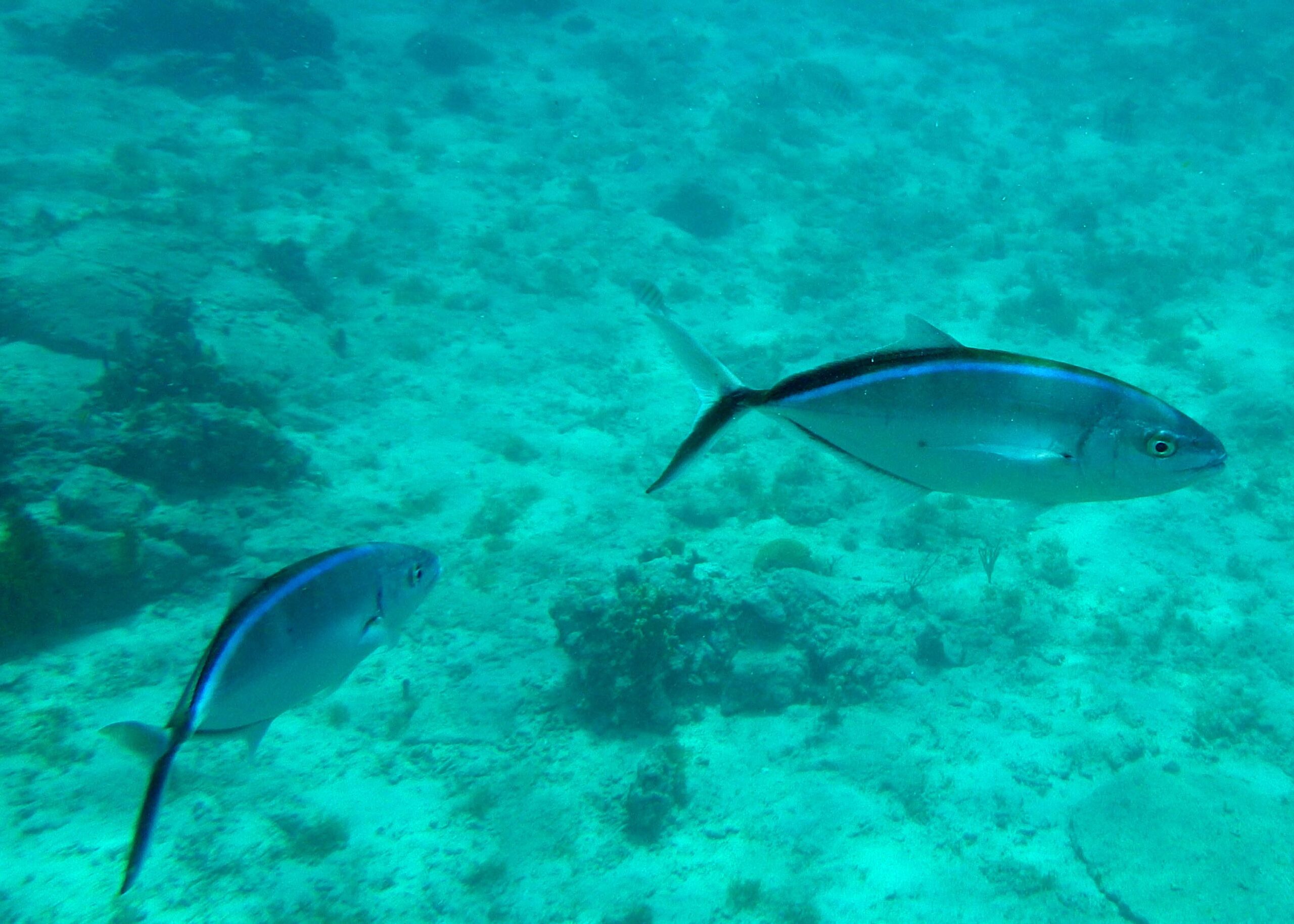
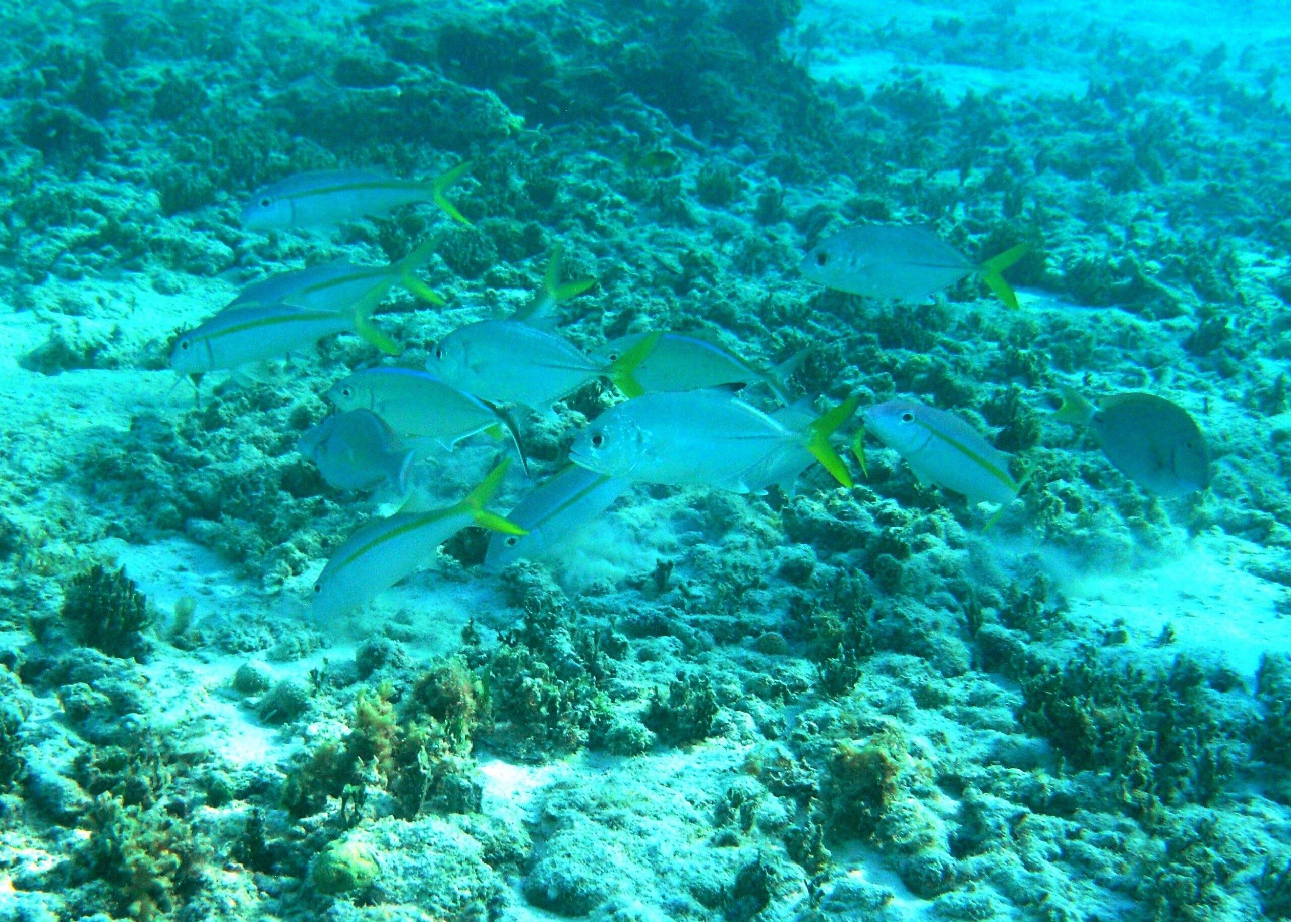
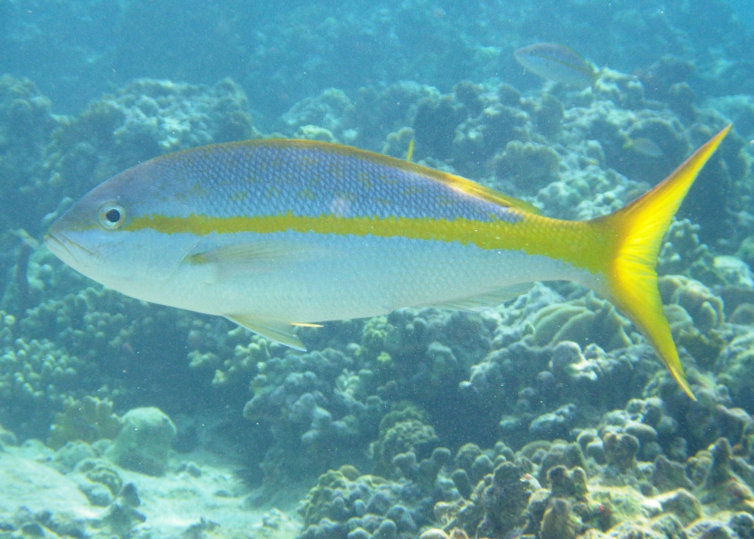
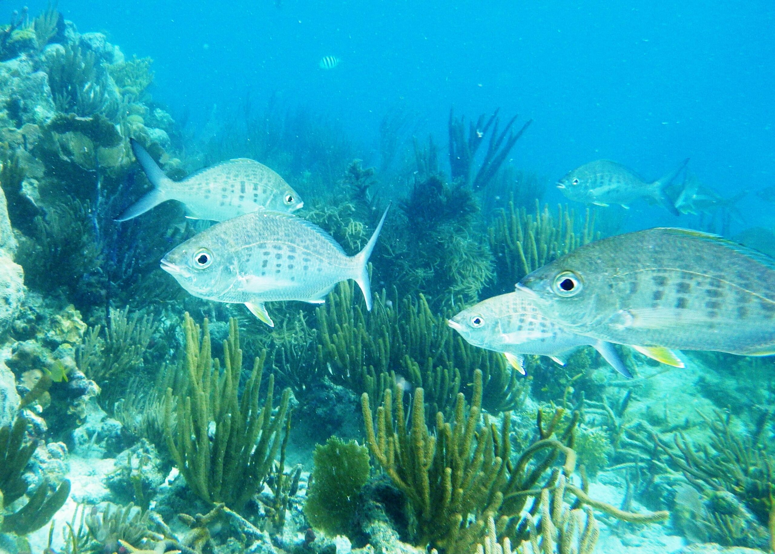
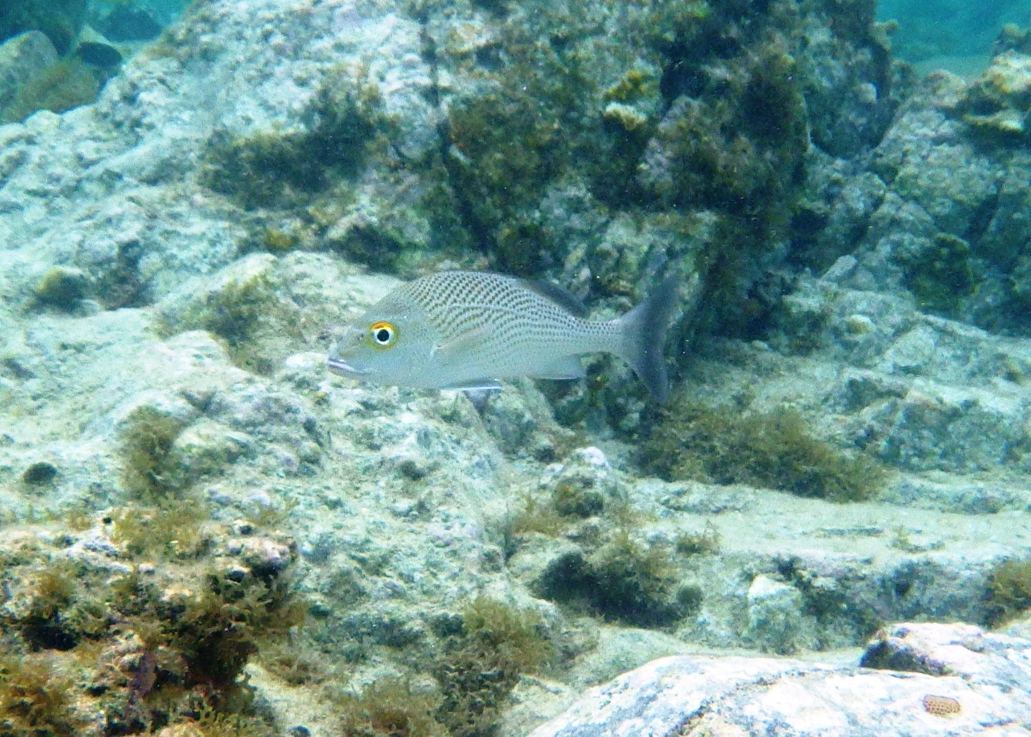
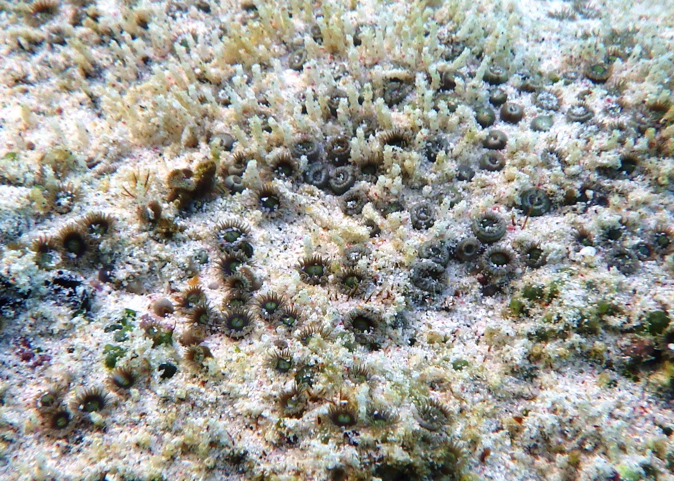
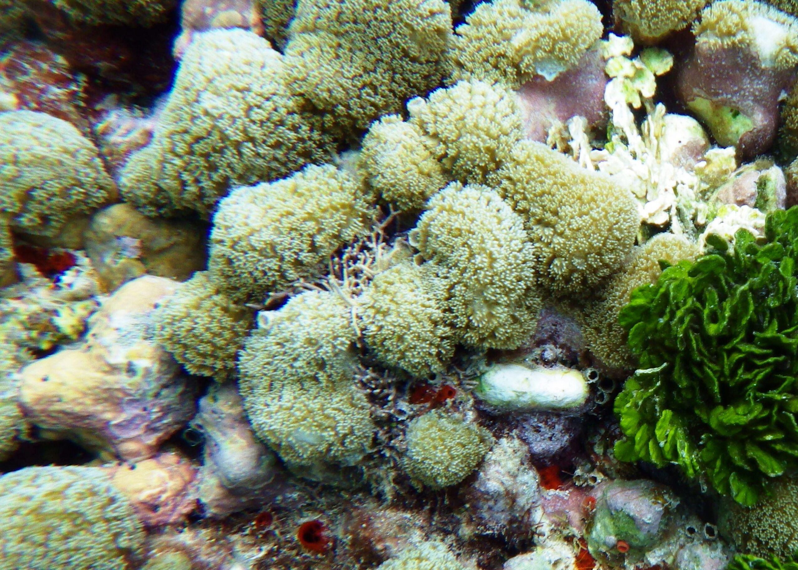
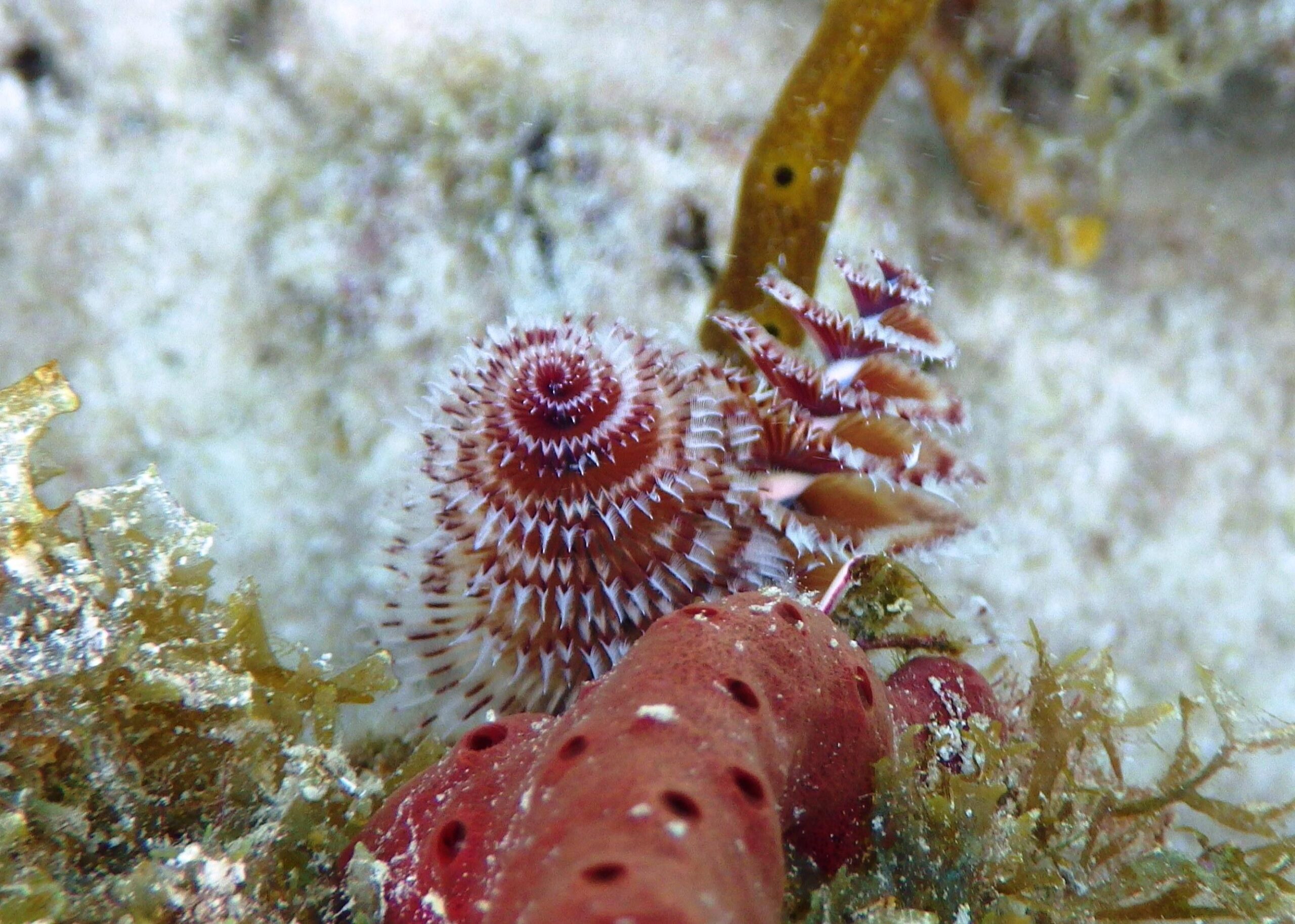
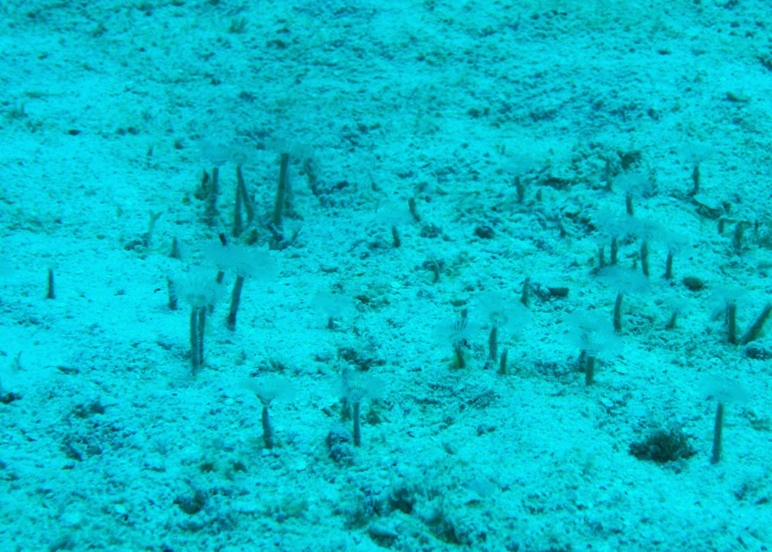
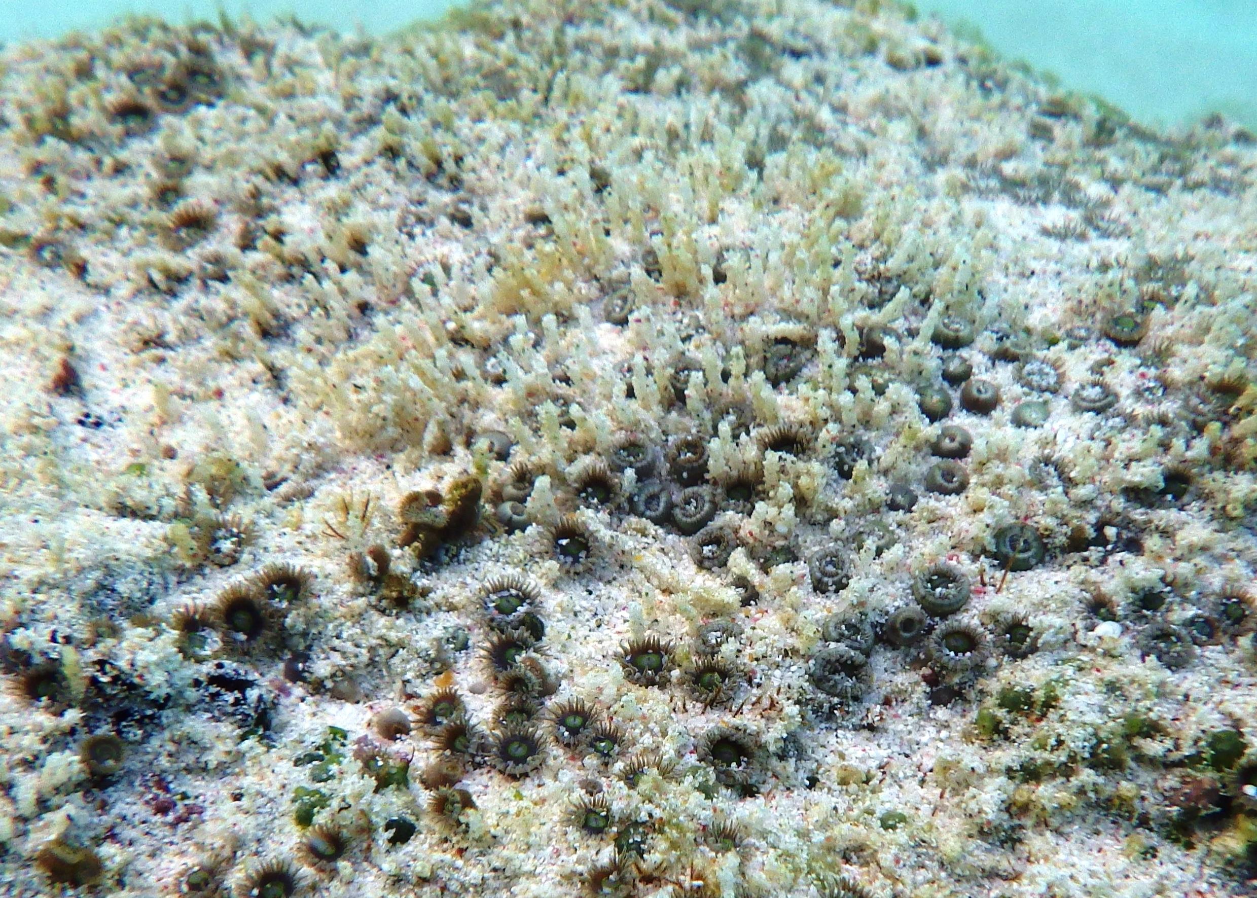
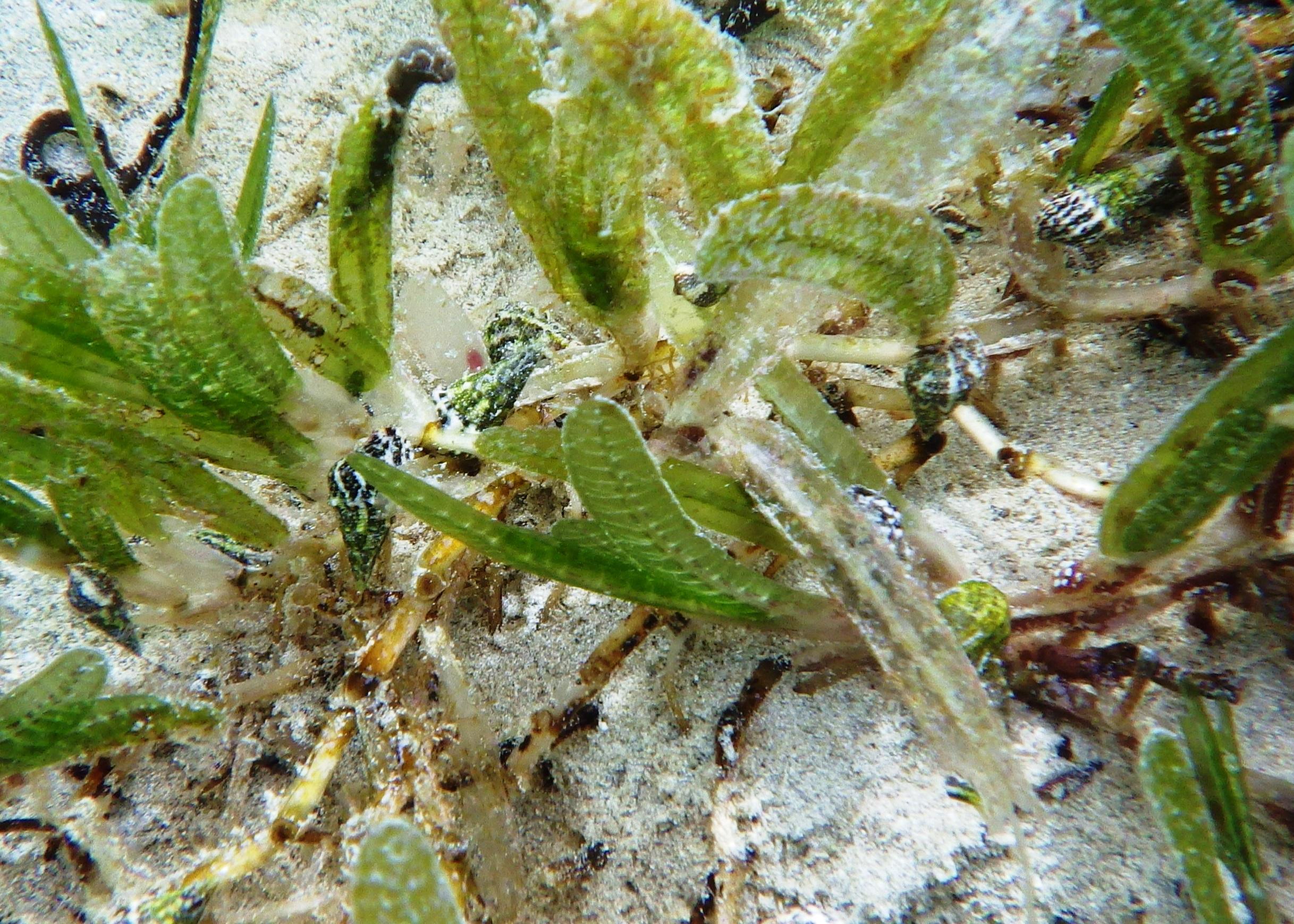
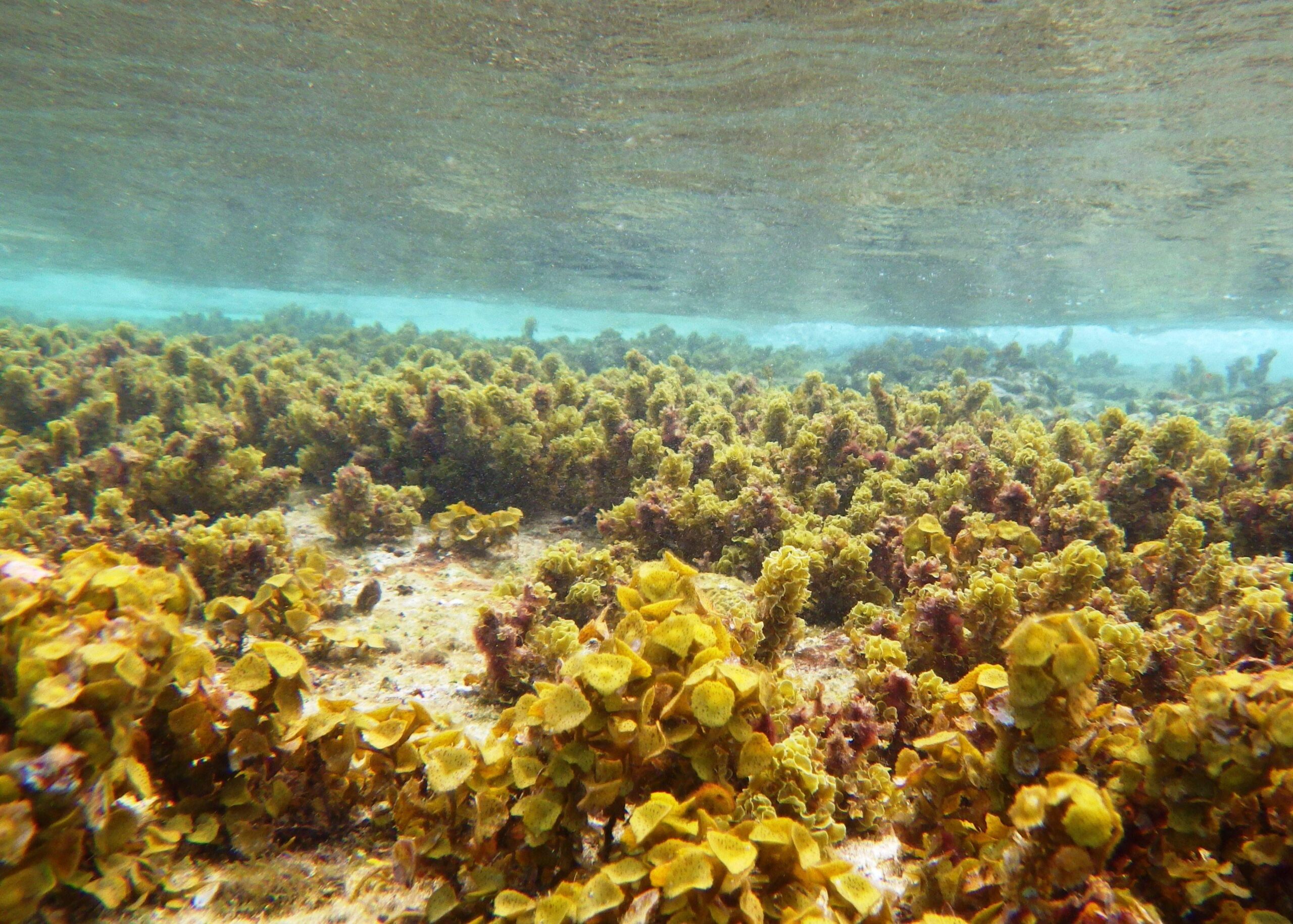
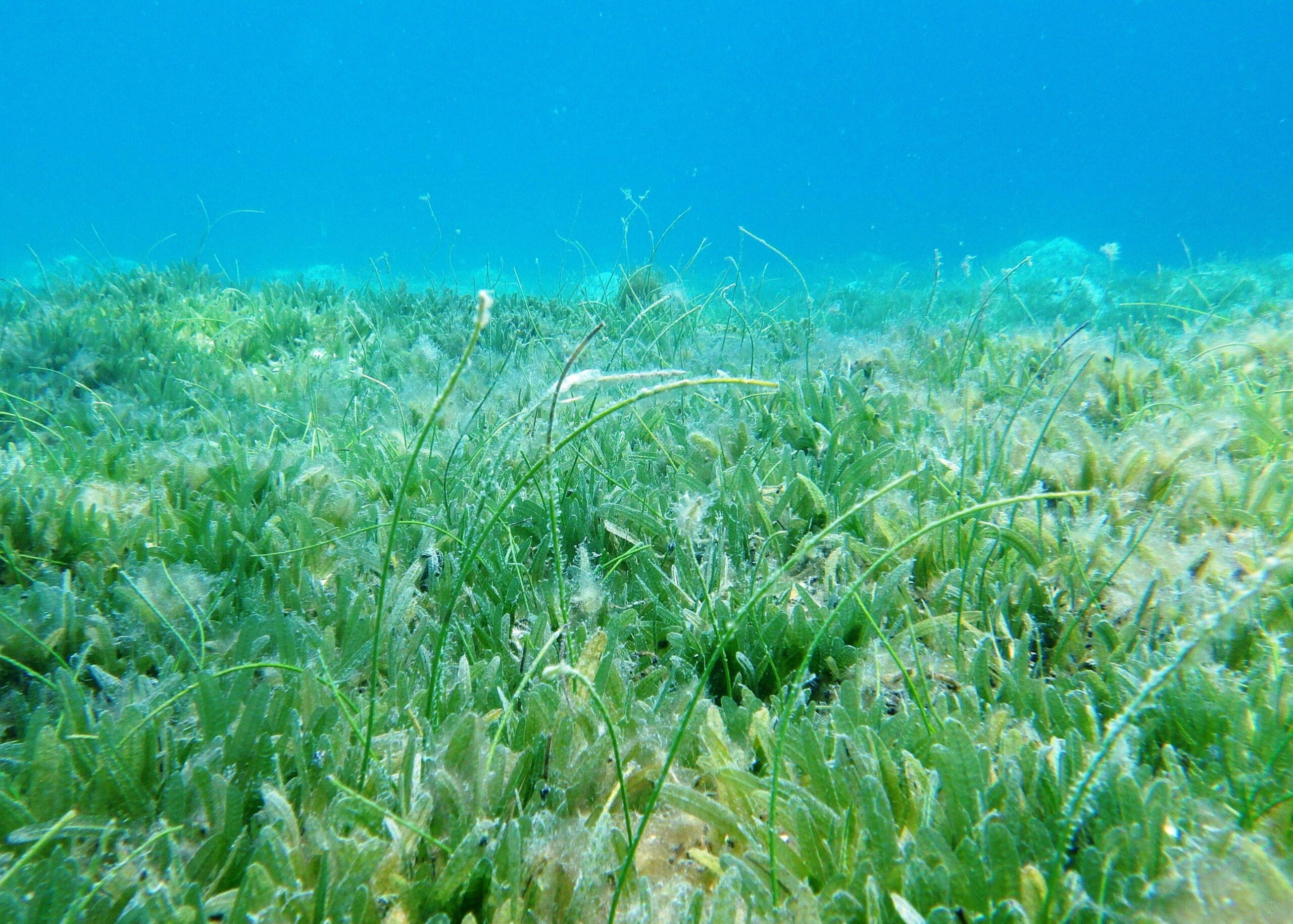
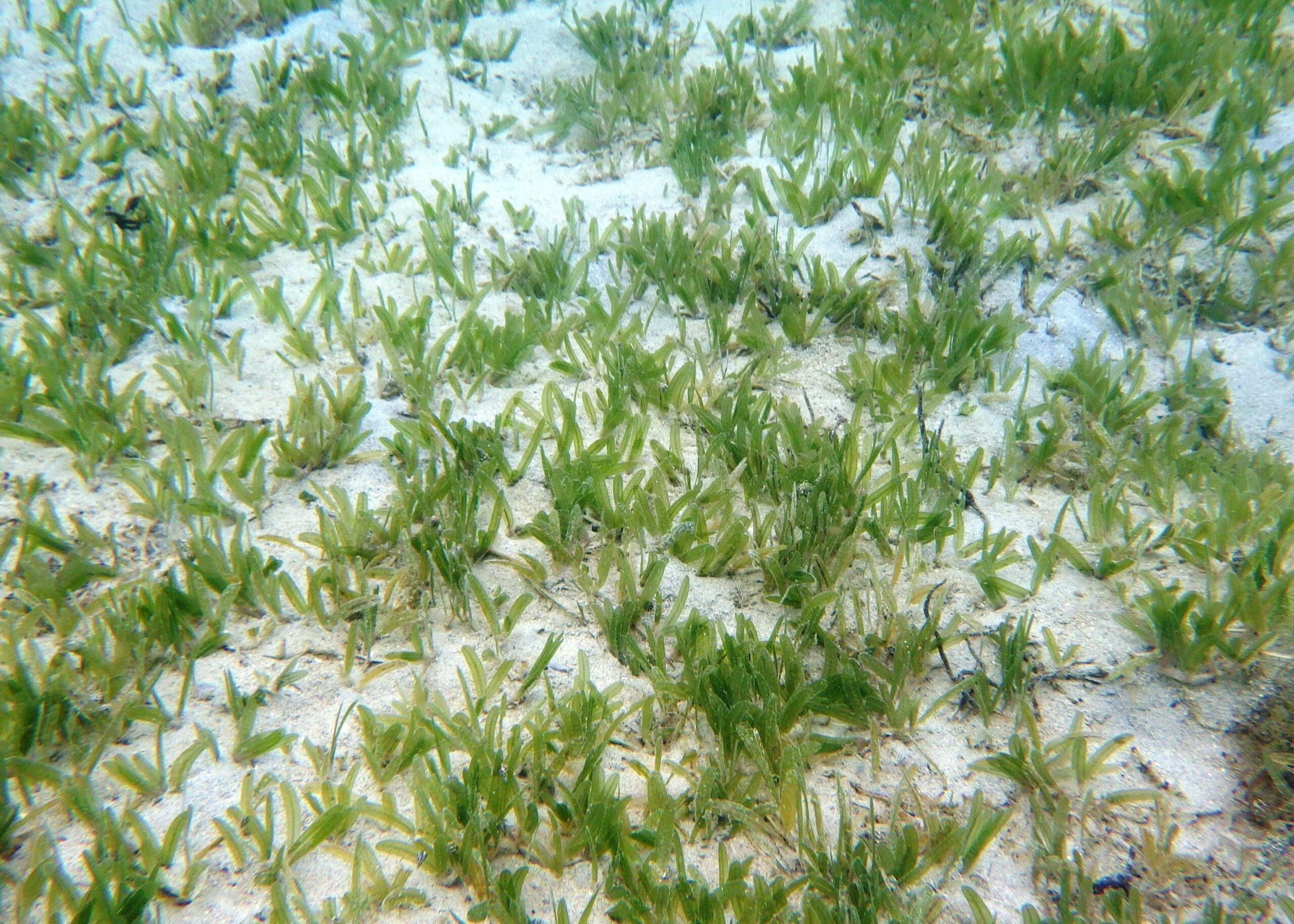
Caneel Bay Beach (area 2) is in front of the original main hotel facilities. The centre of the bay is subject to some vessel activity so be aware. The headland to the right of the beach has a particularly good variety of fish species while the centre of the bay has very healthy seagrass communities.
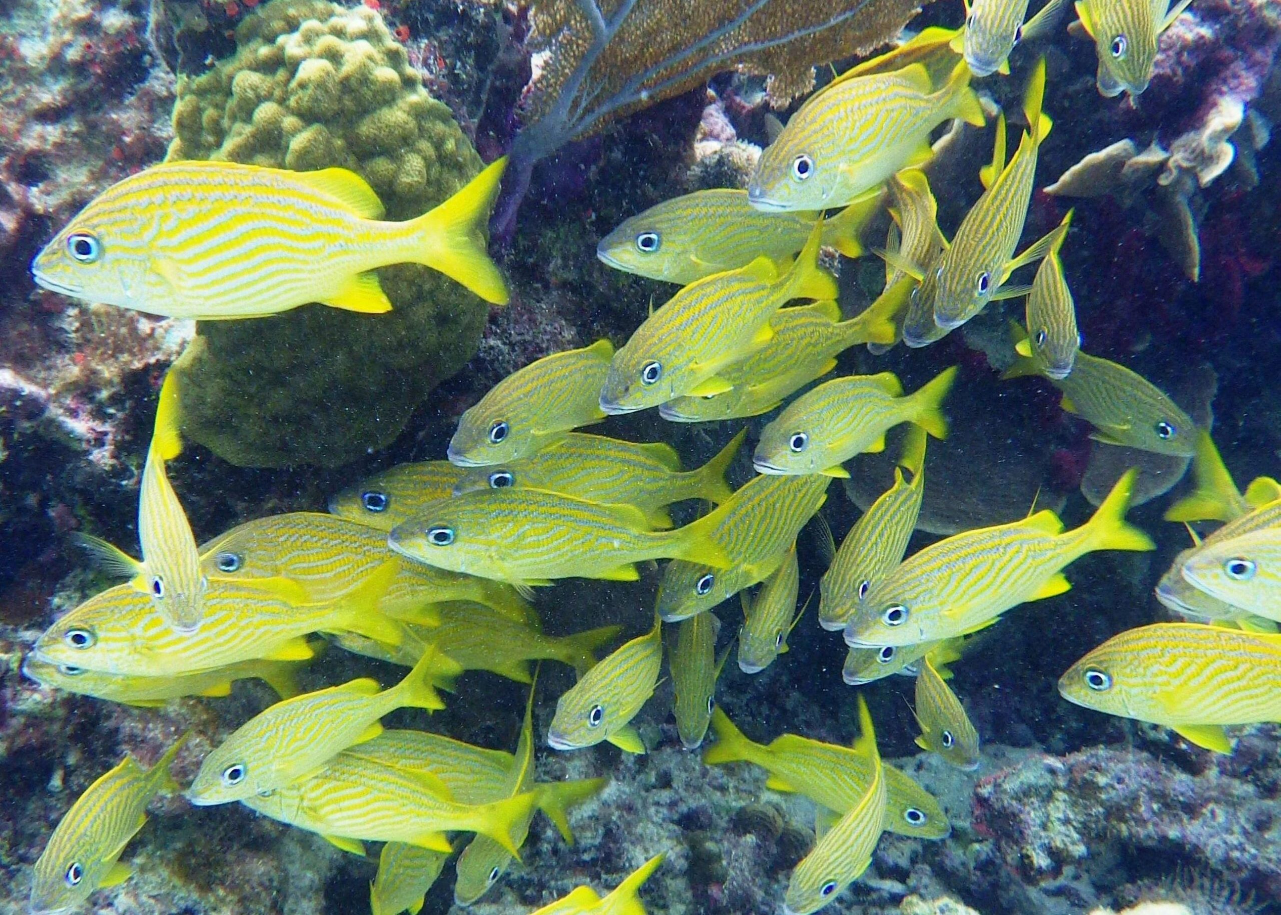
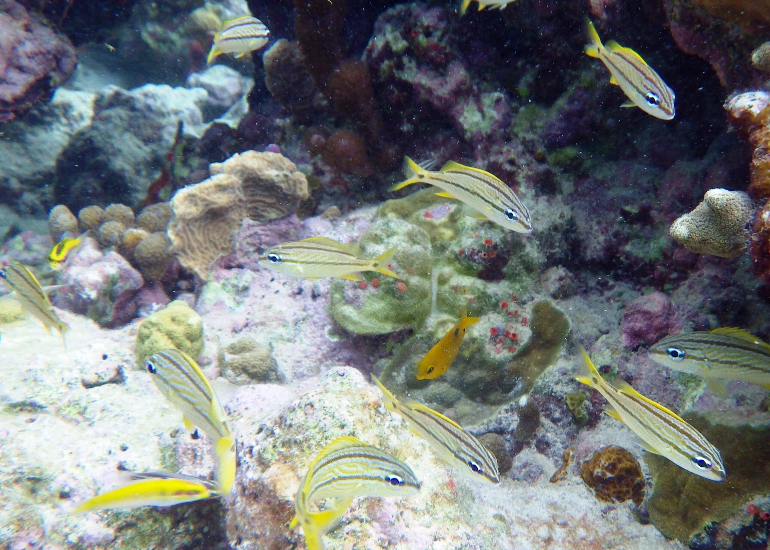
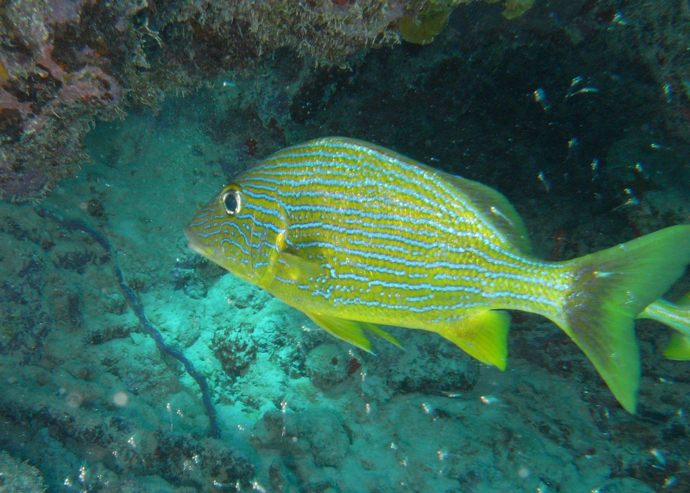
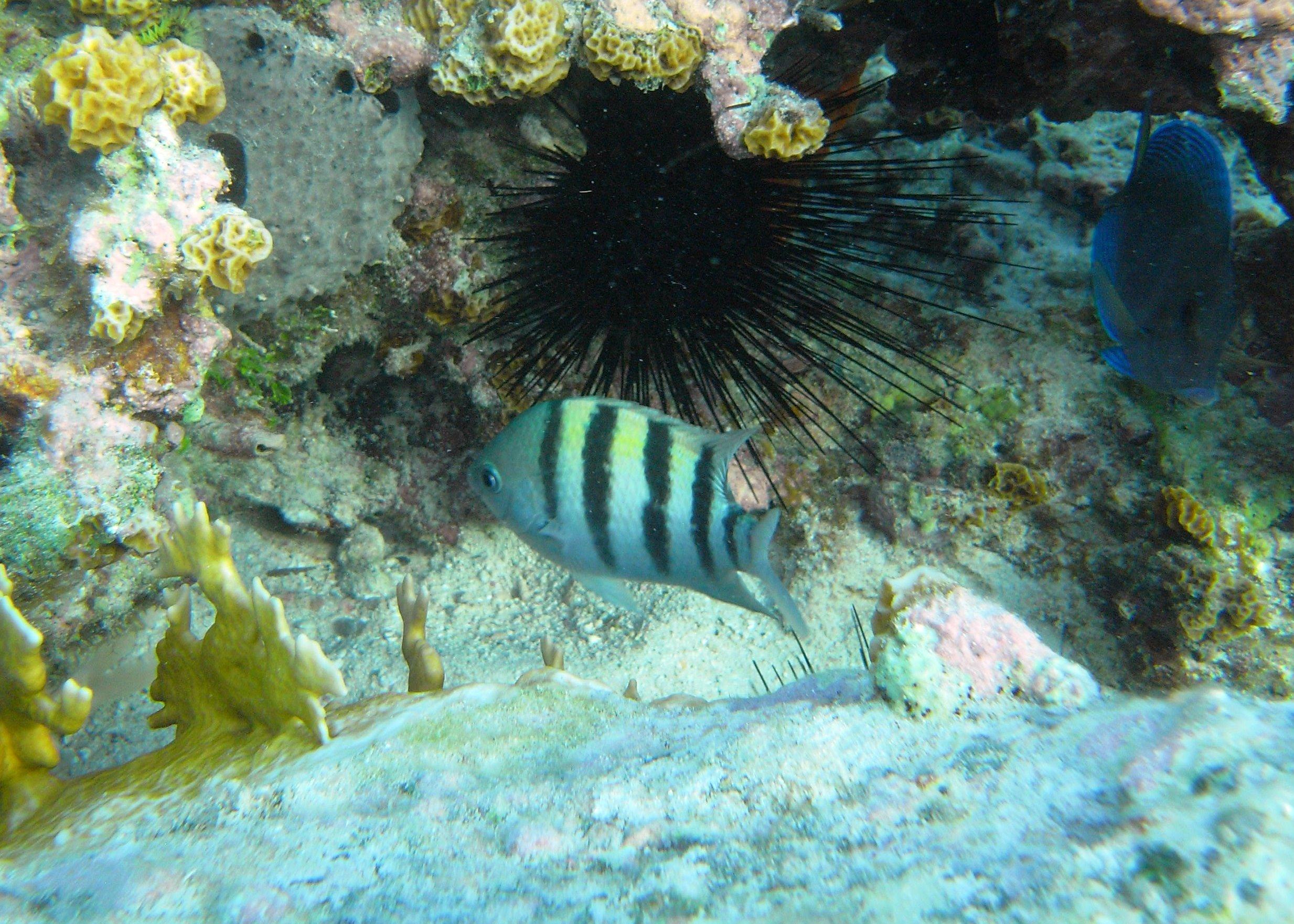
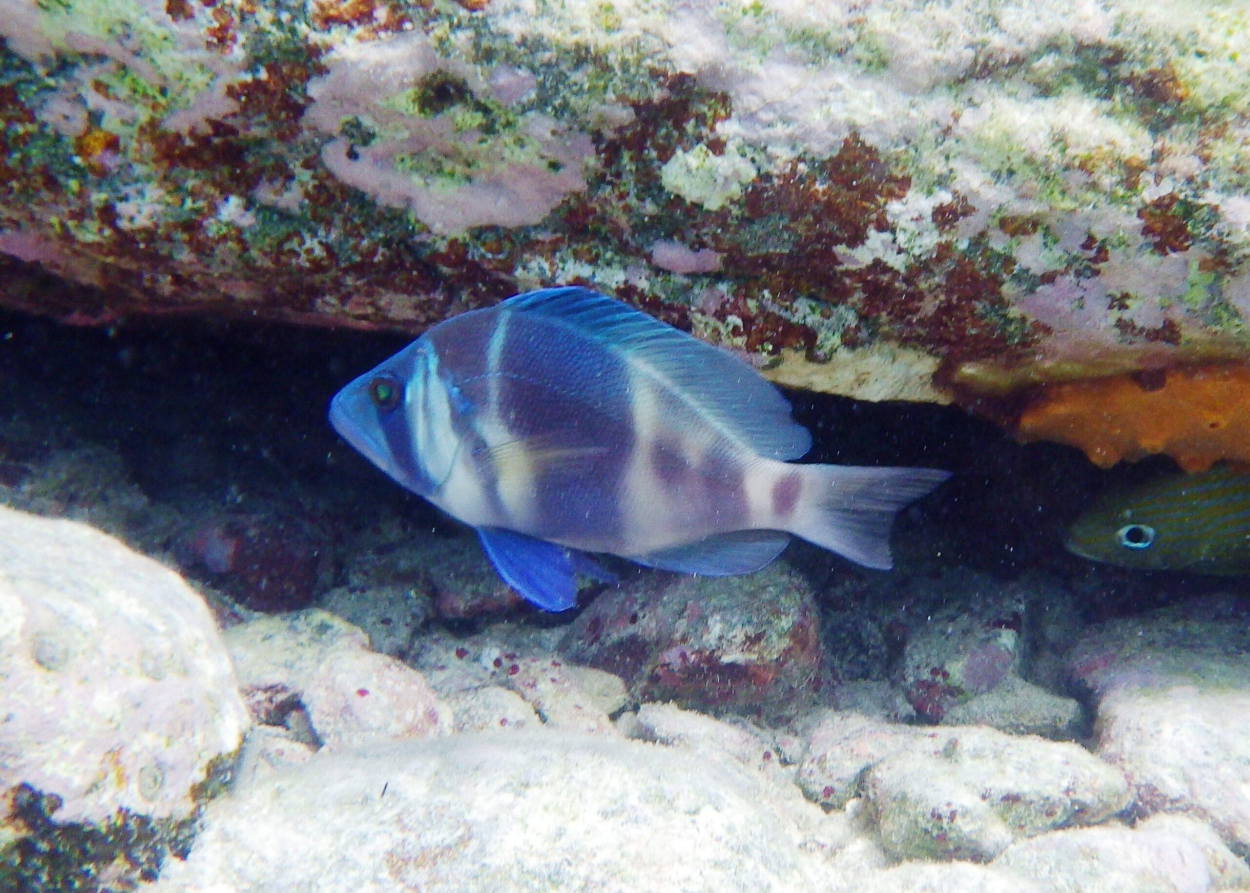
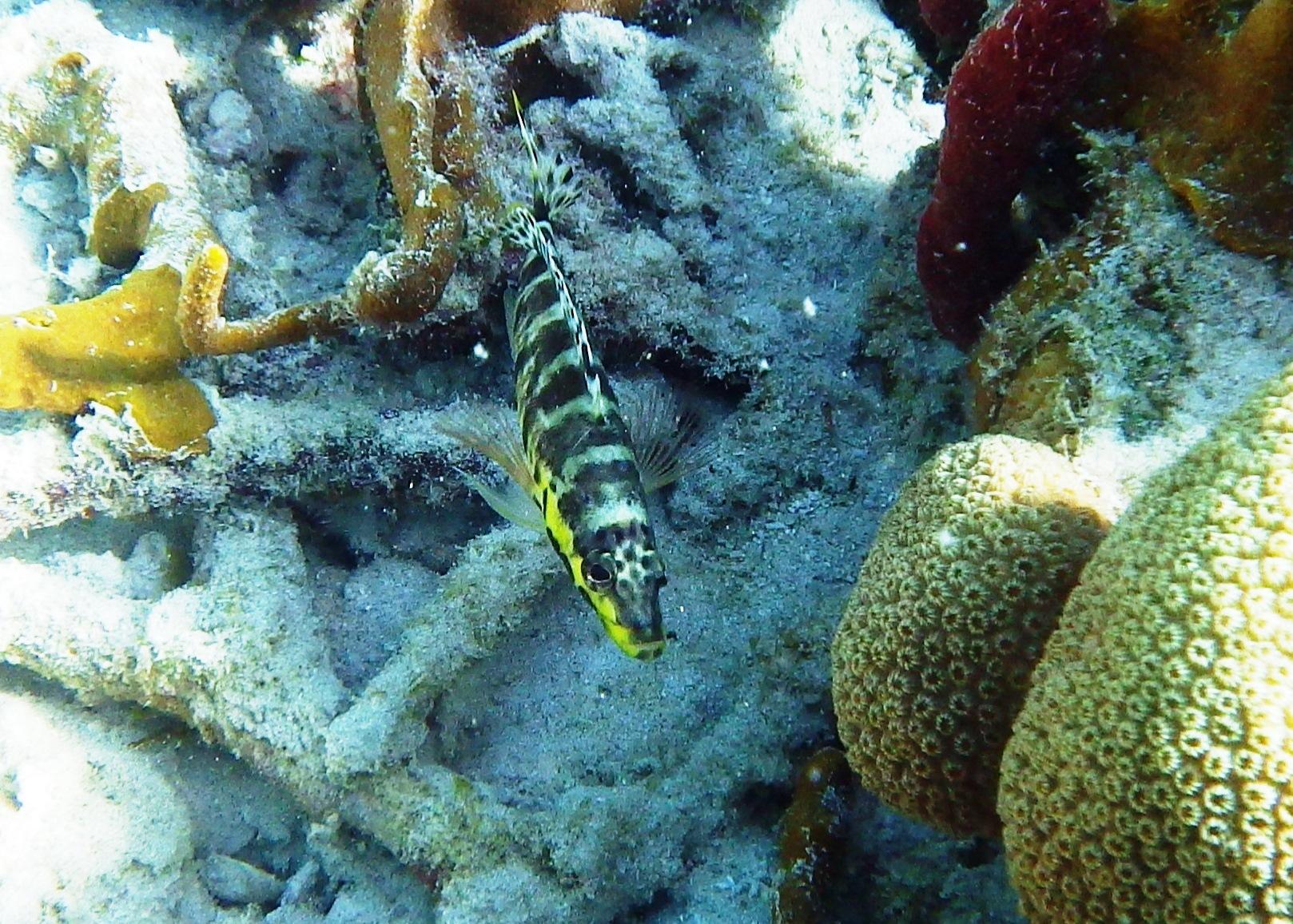
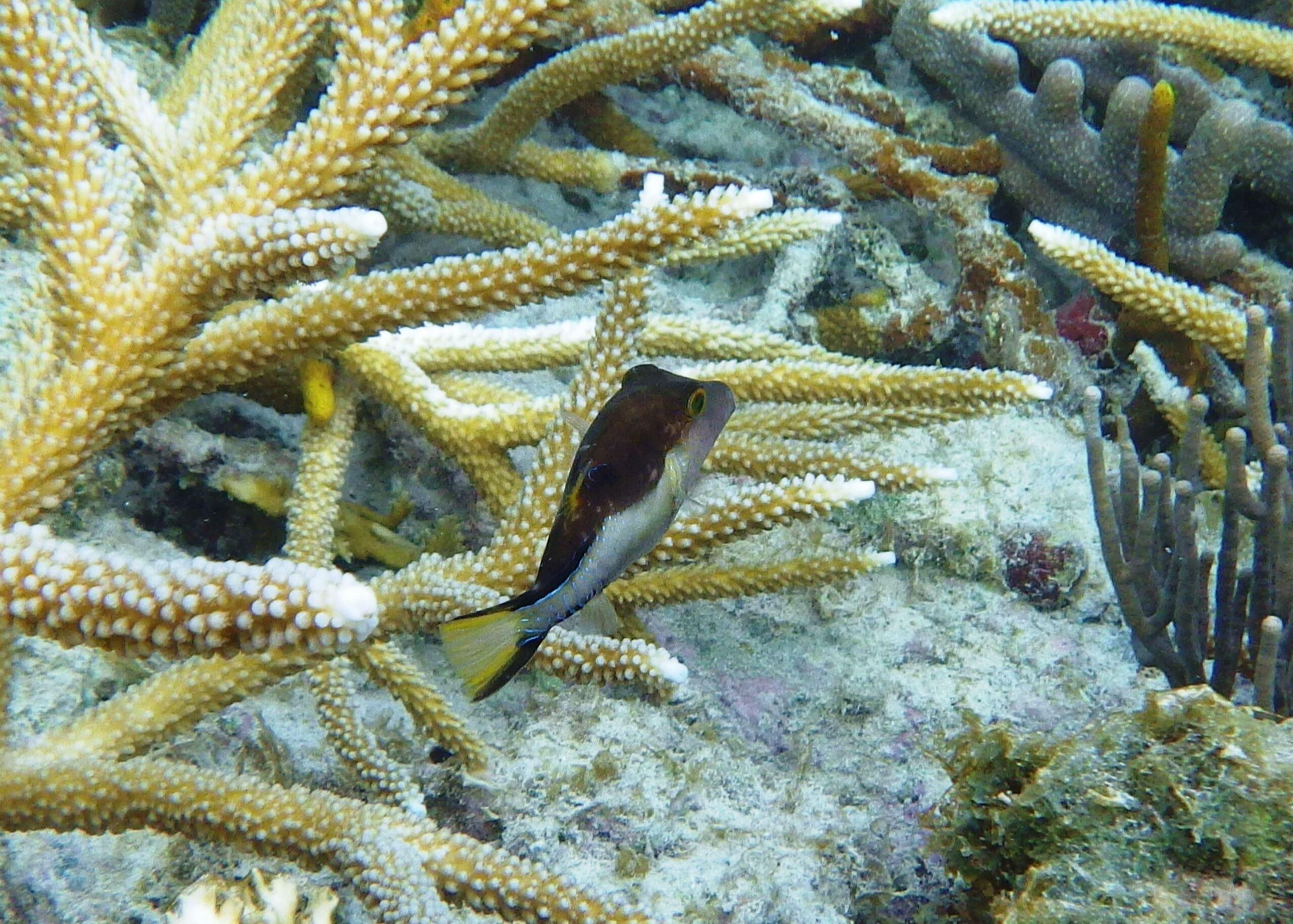
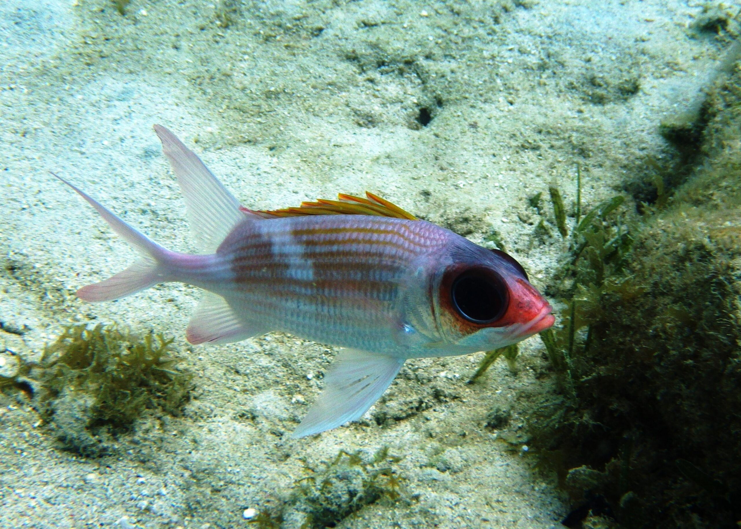
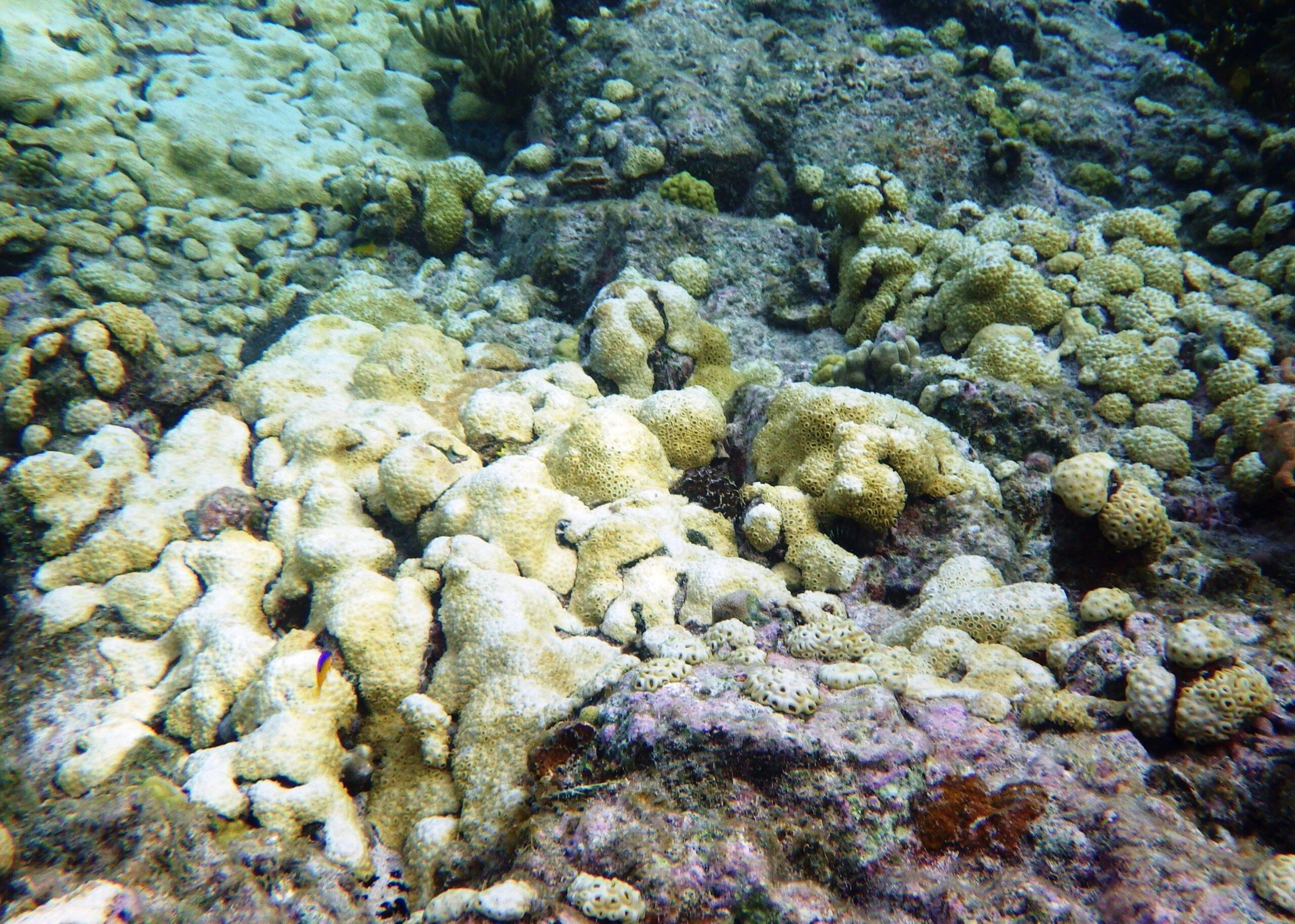
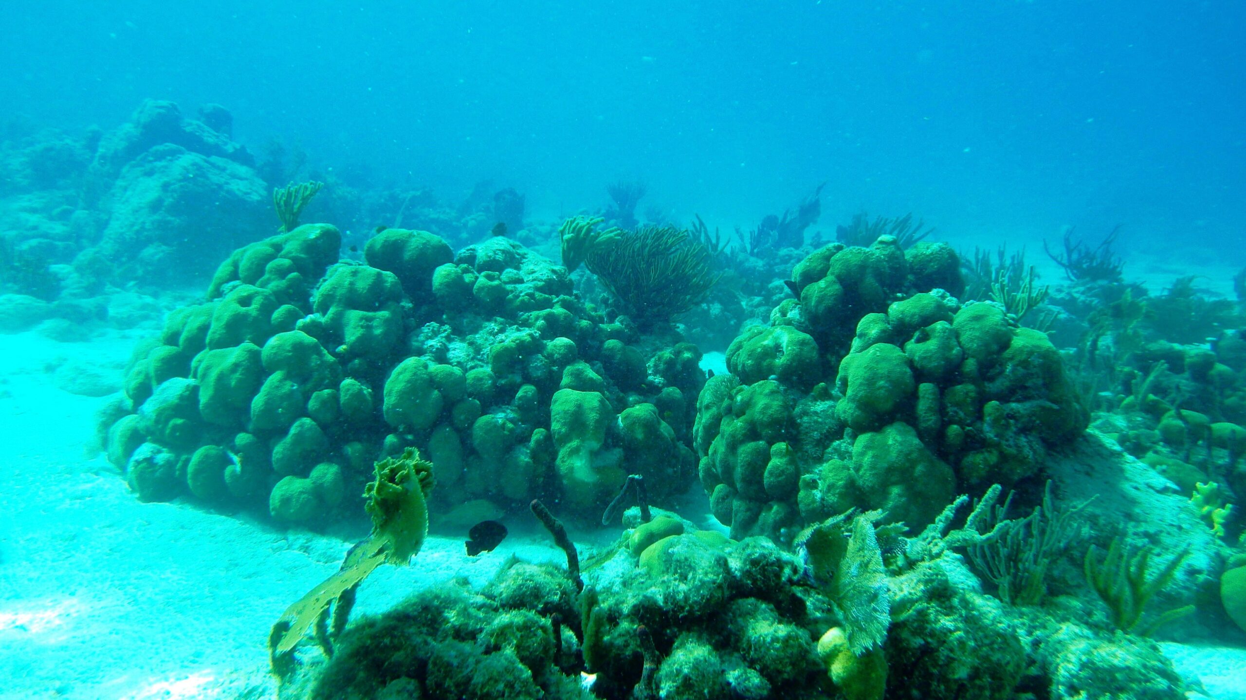
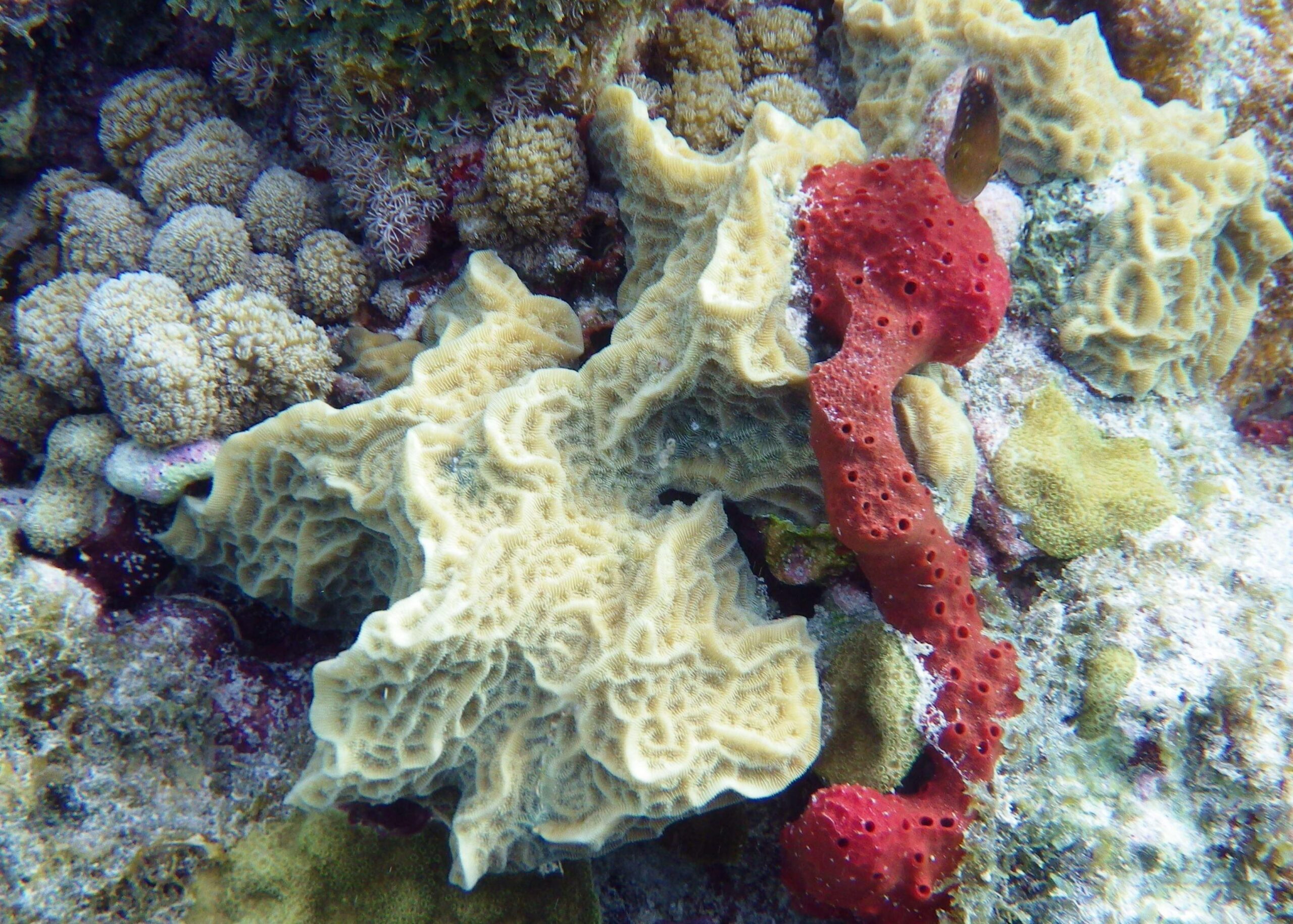
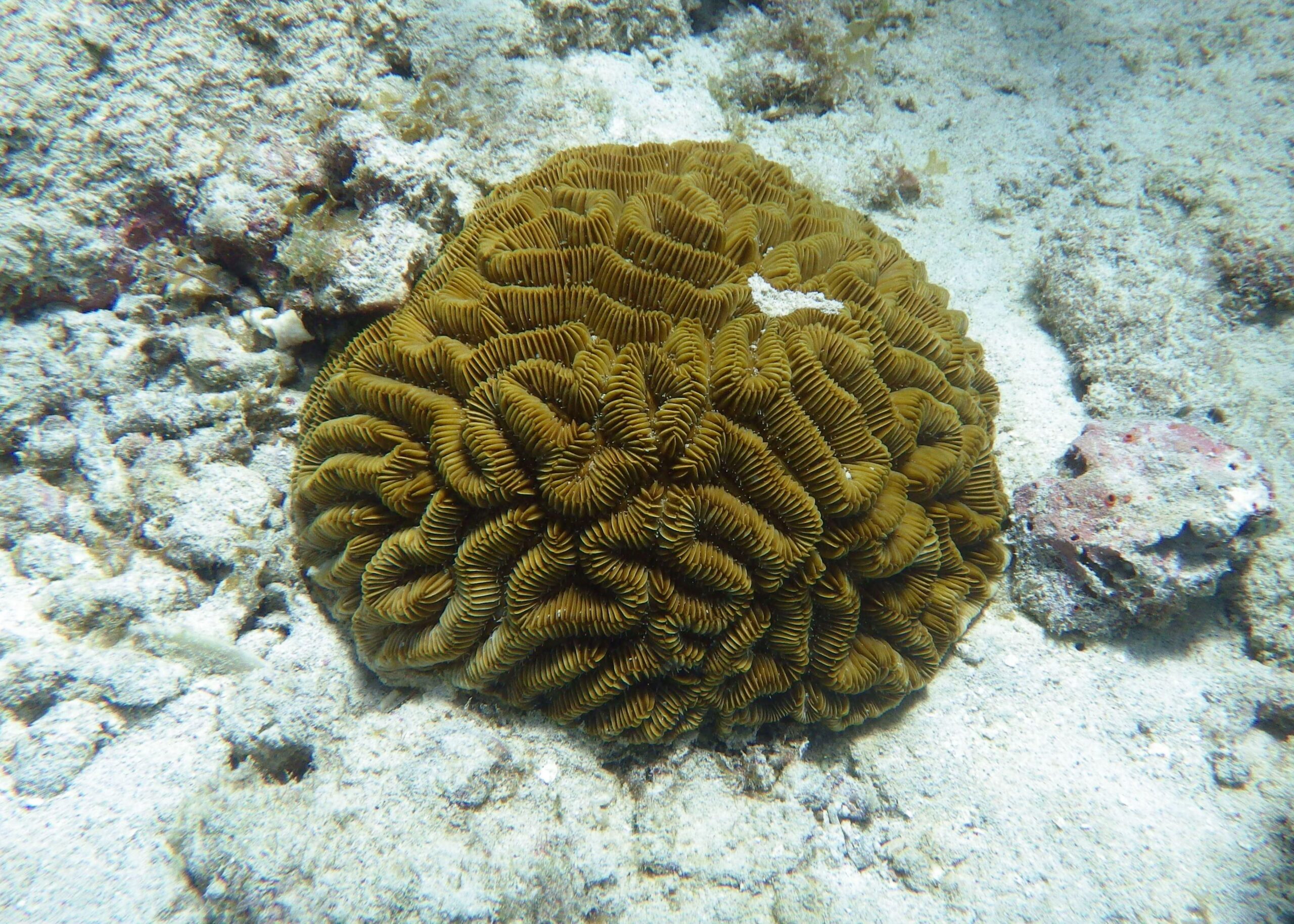
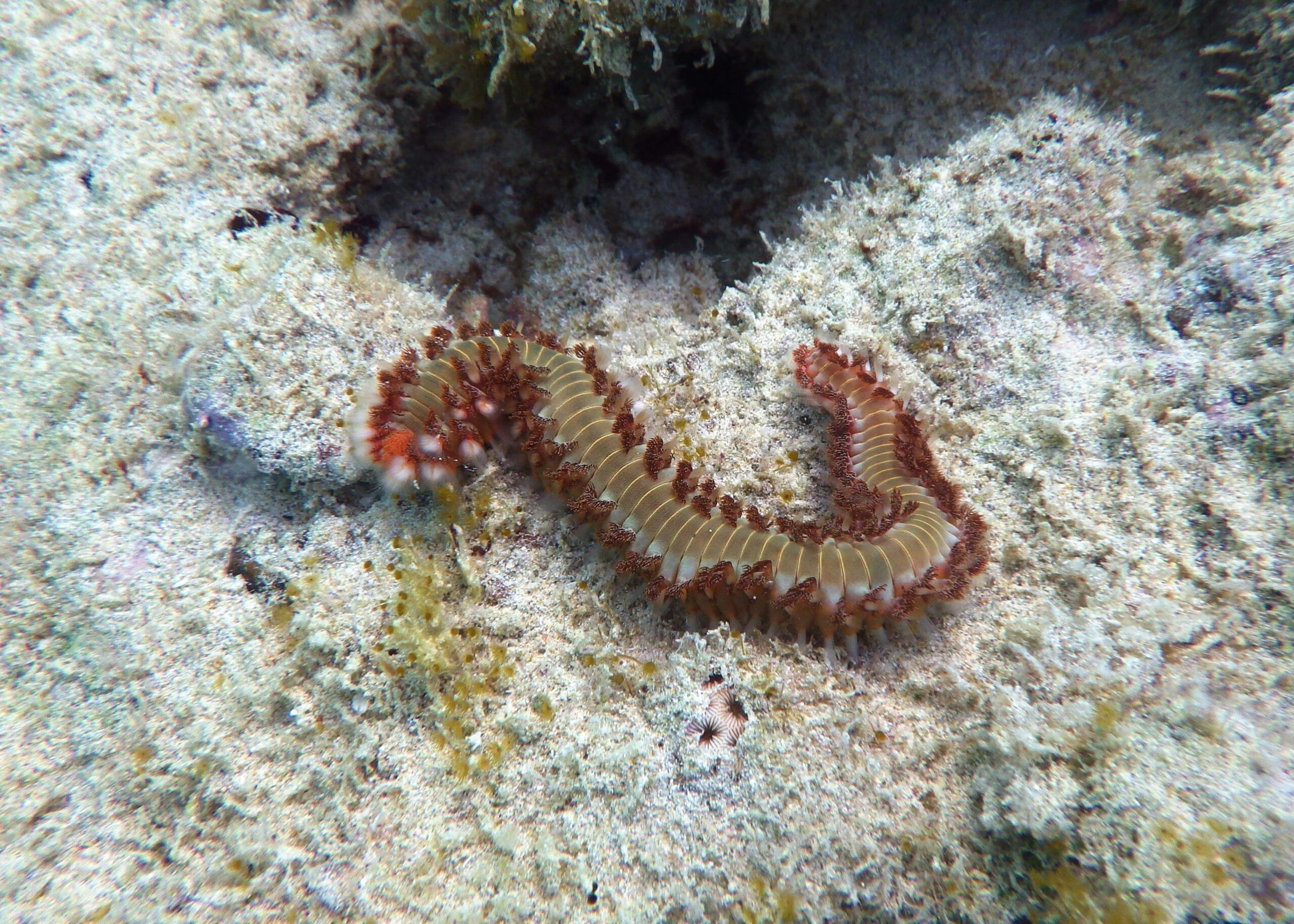
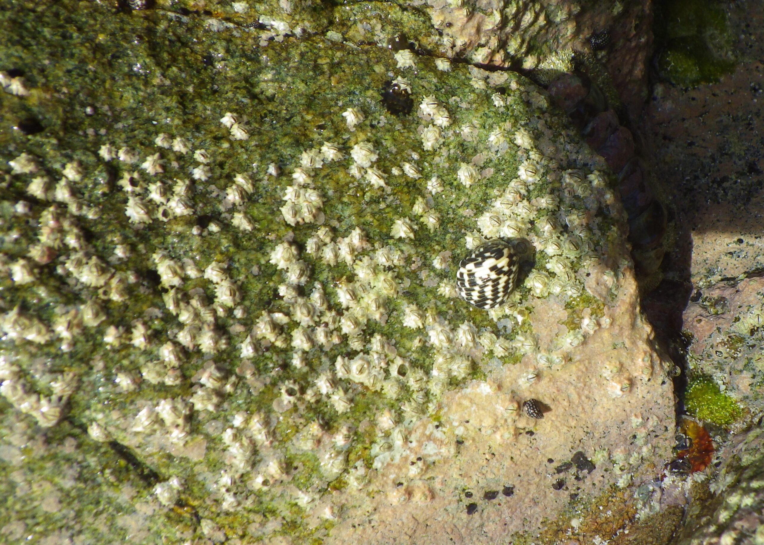
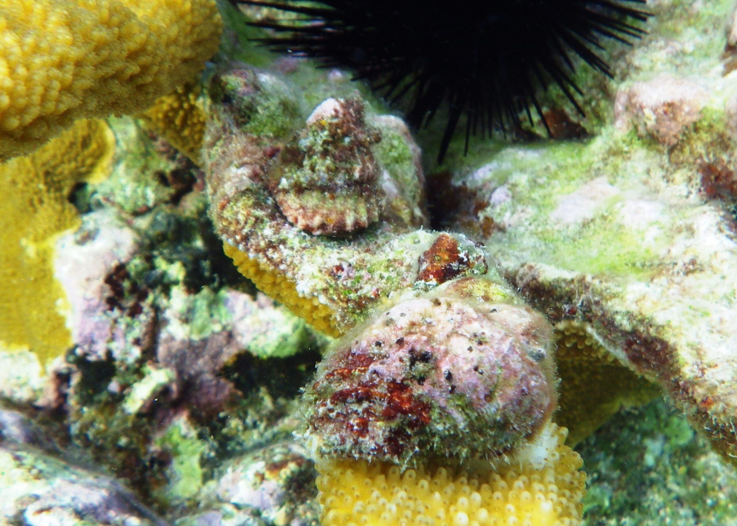
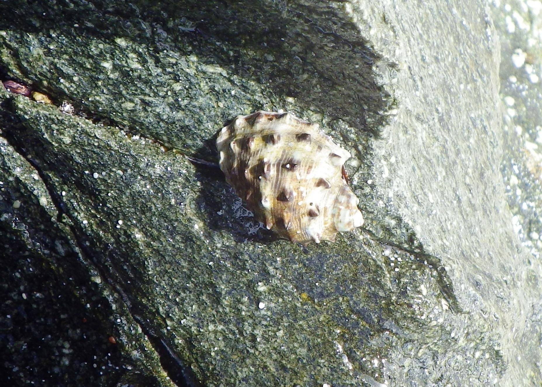
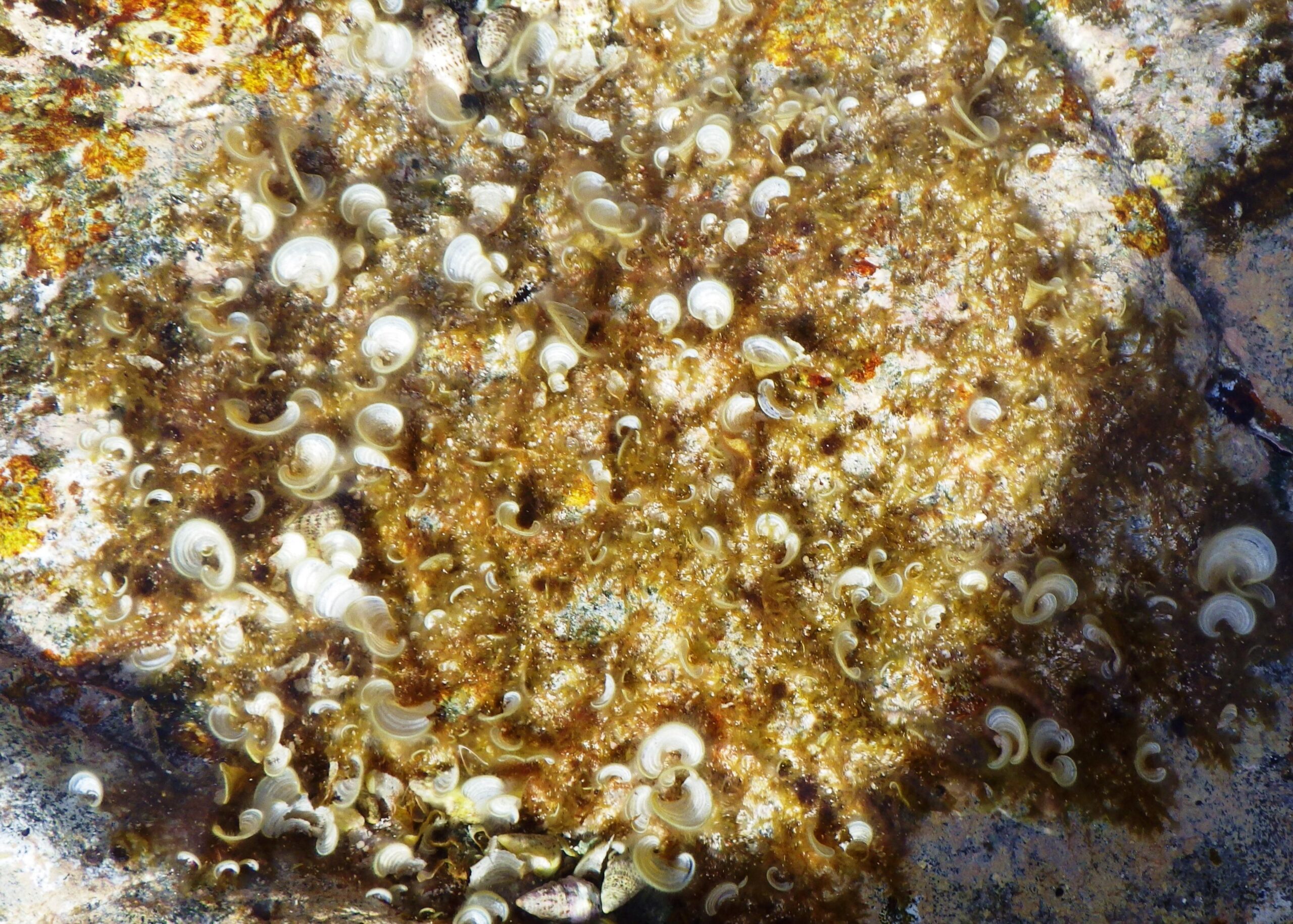
Scott Beach (area 3), has several areas of shallow rock ledges, so choose your access and exit point carefully. Once in the water the ledges can be followed to the right, with plenty of fish choosing the shelter provided under the ledges.
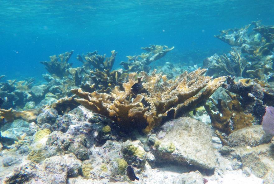
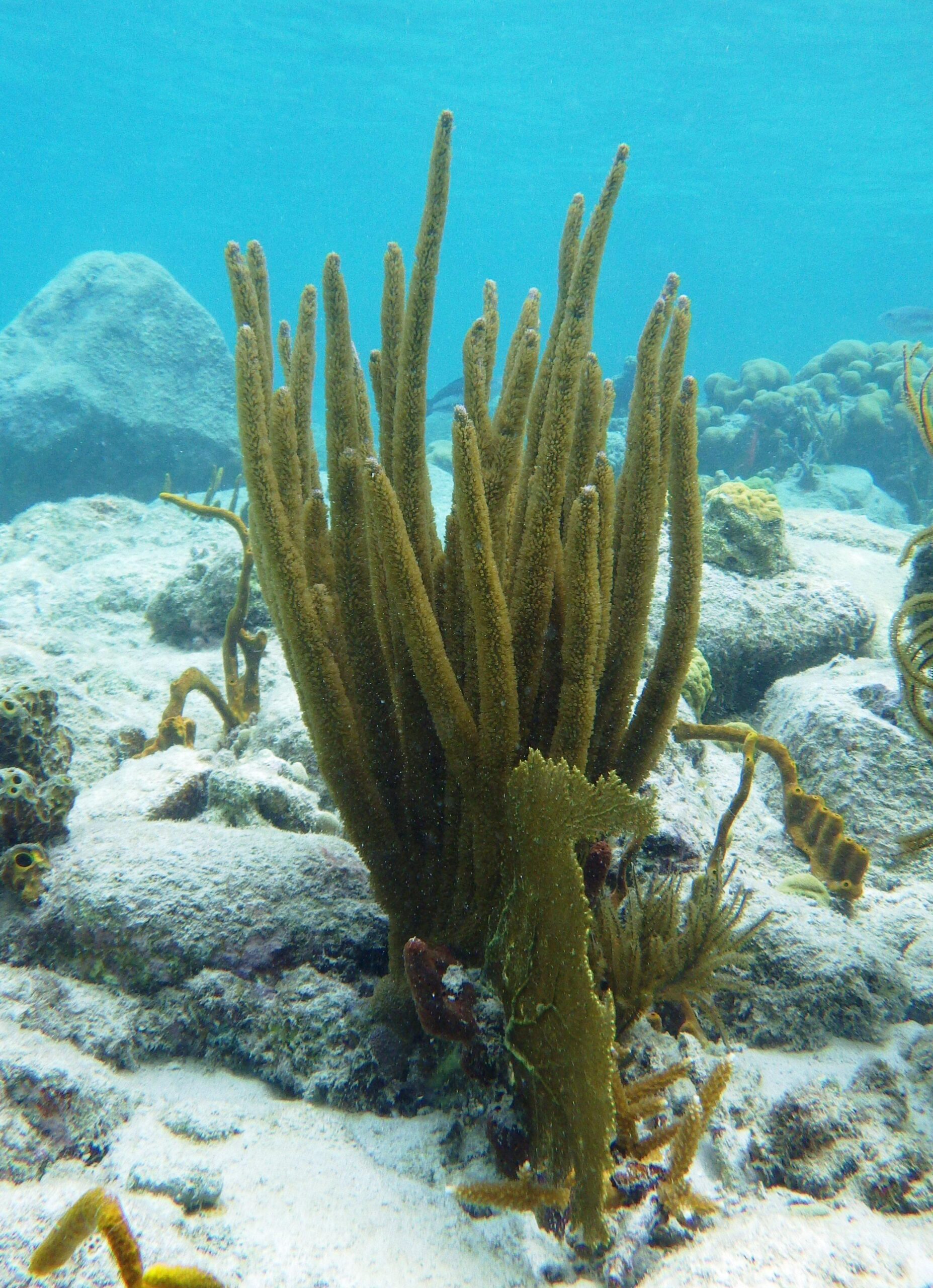
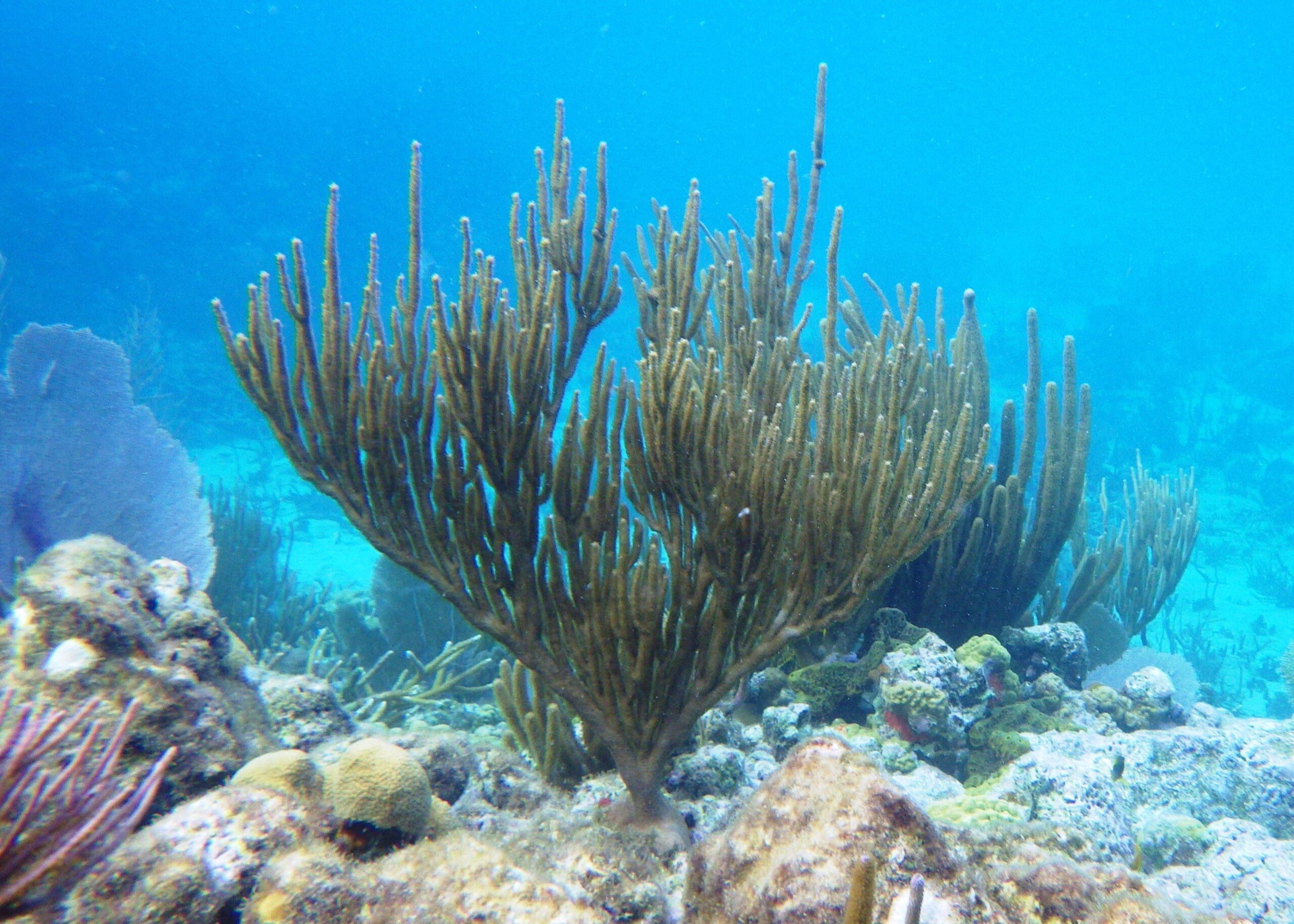
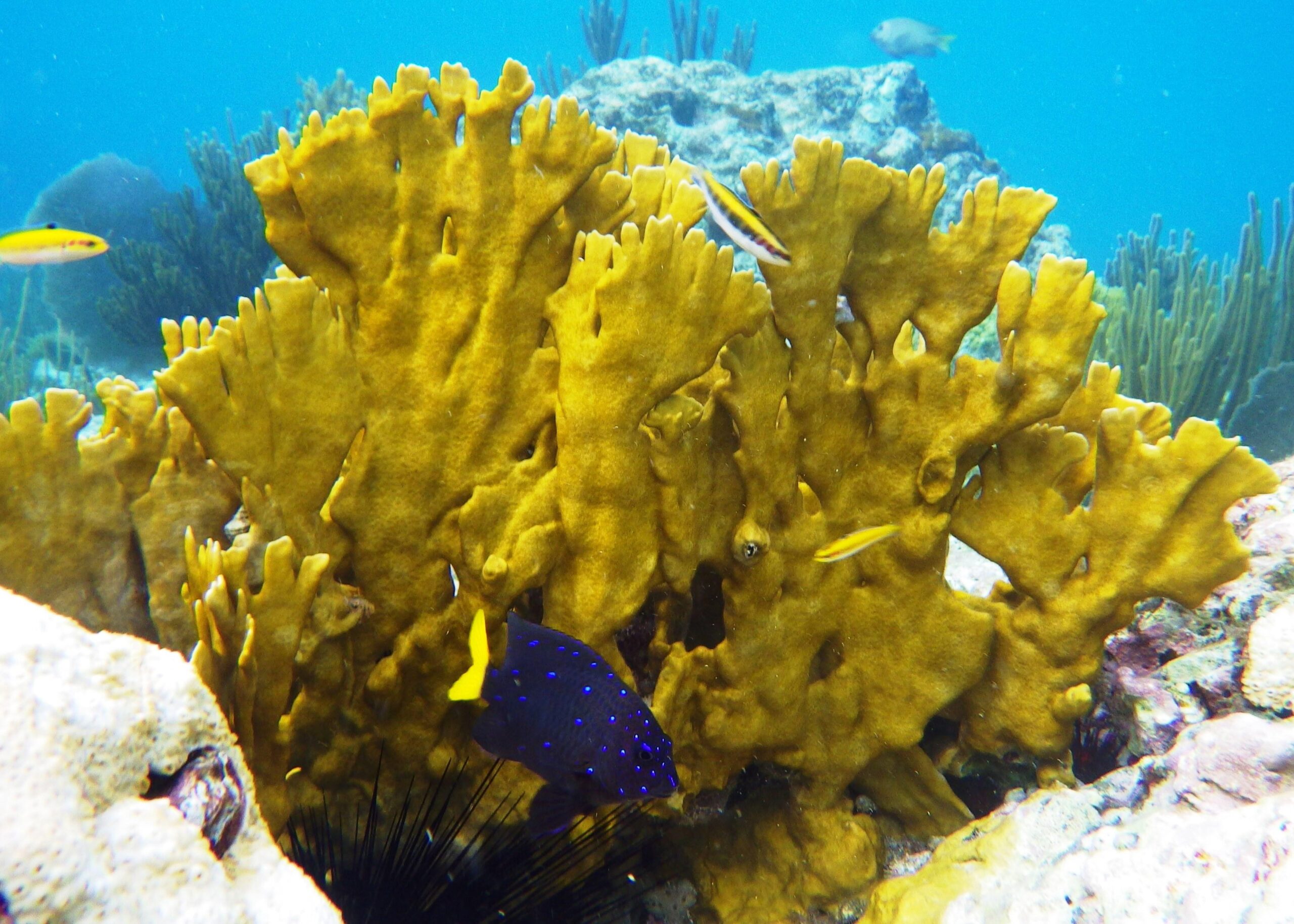
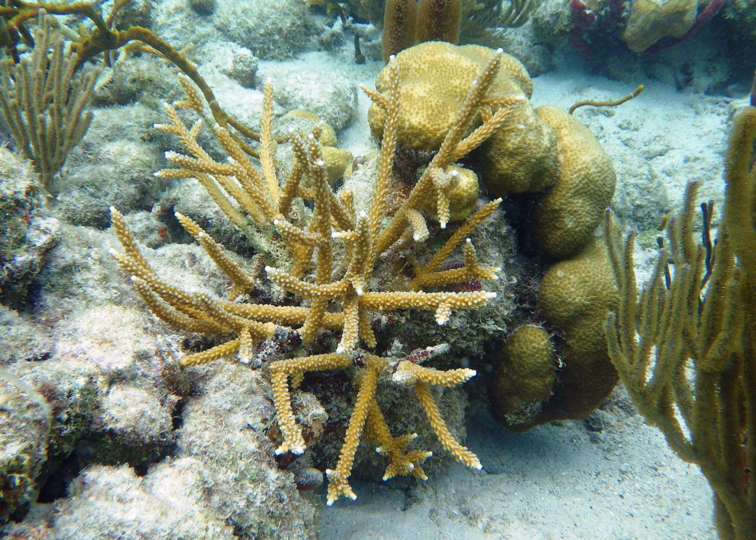
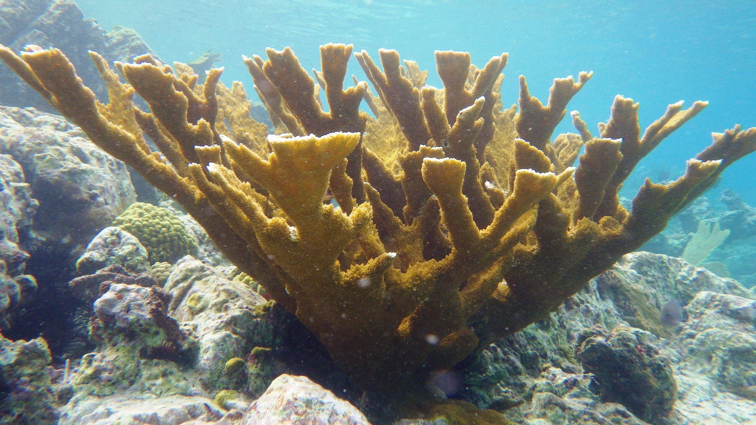
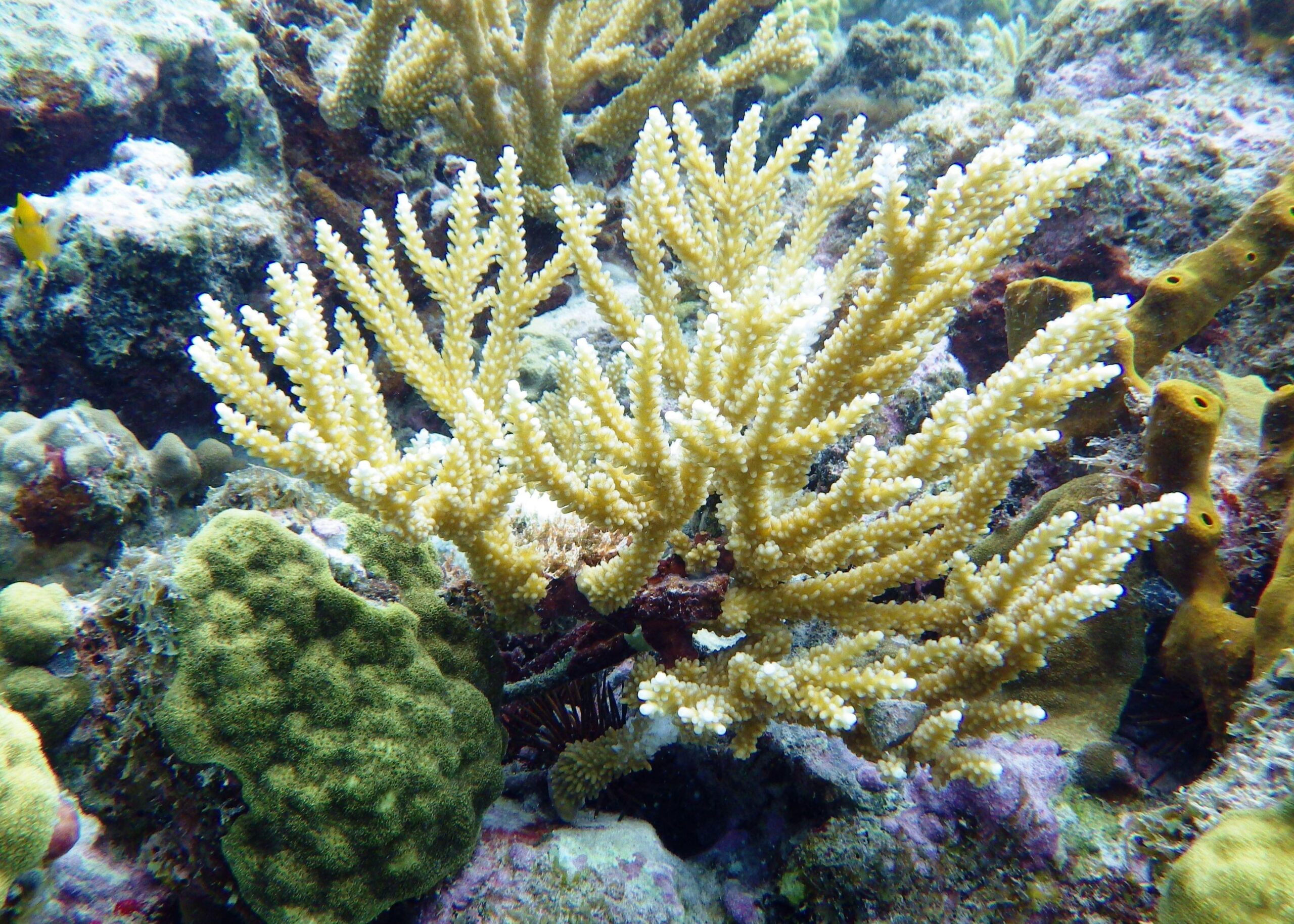
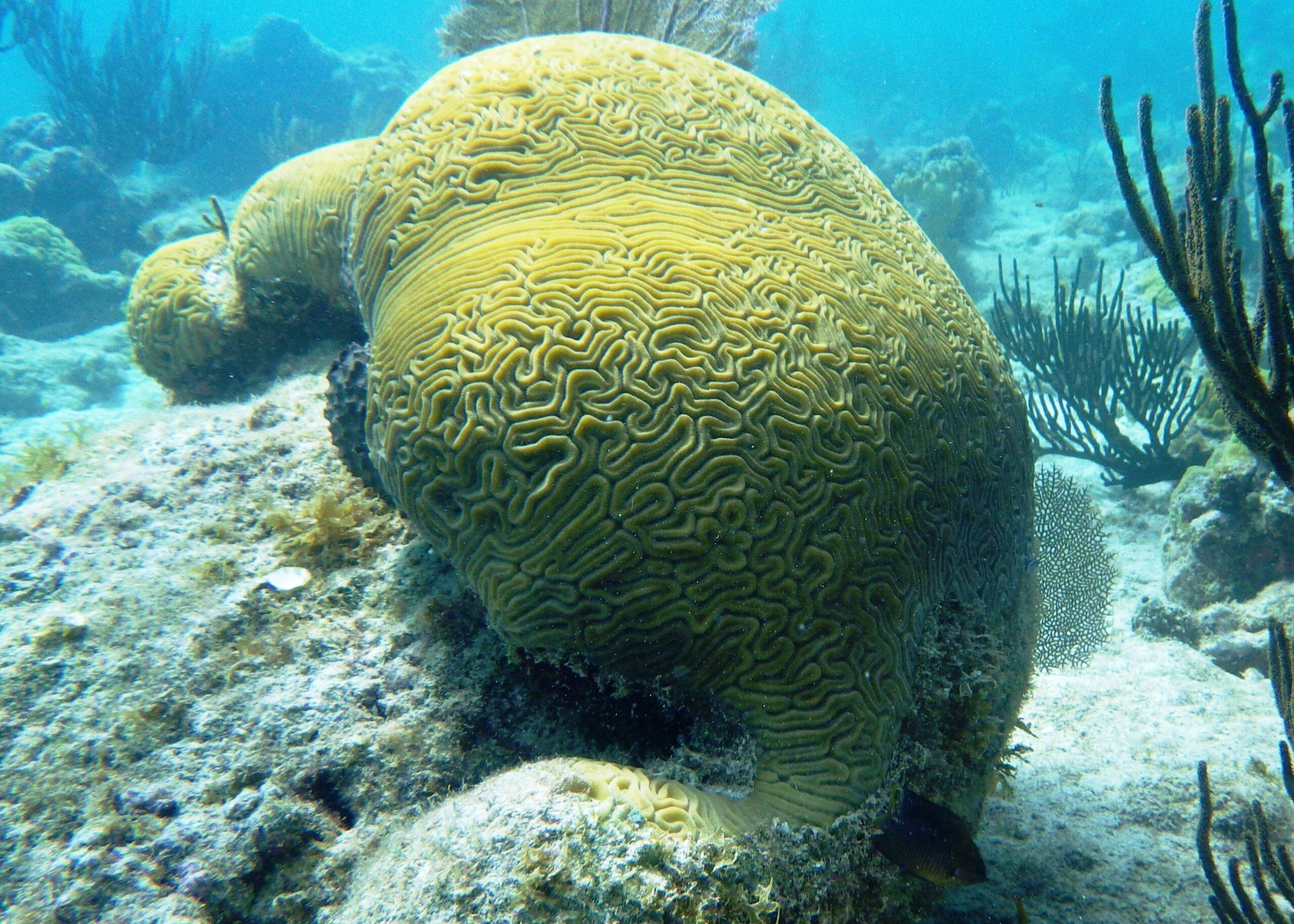
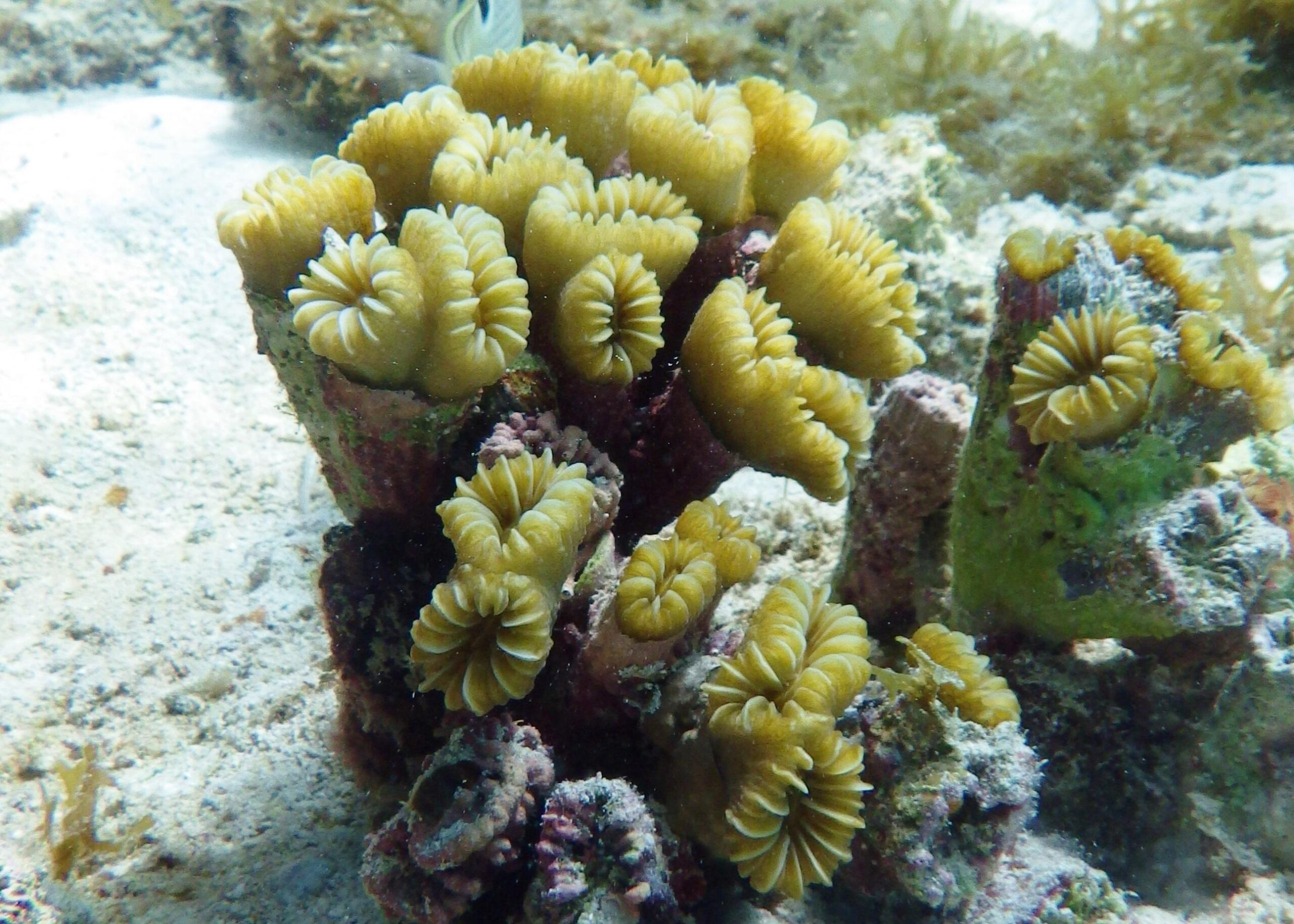
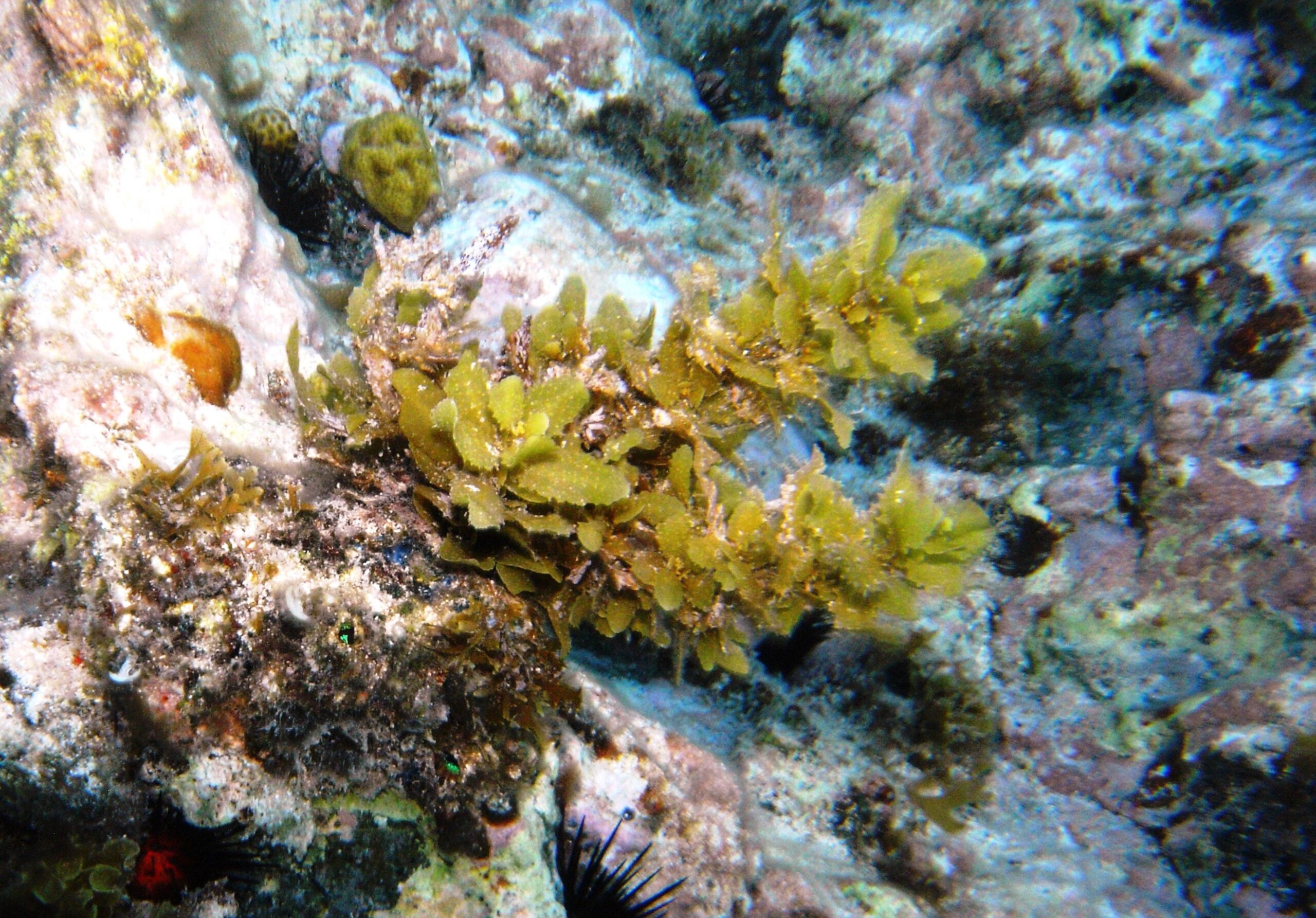
Swimming towards the headland to the right of Scott Beach (area 3) numerous examples of Elkhorn coral can be observed. Be aware of currents in this area.
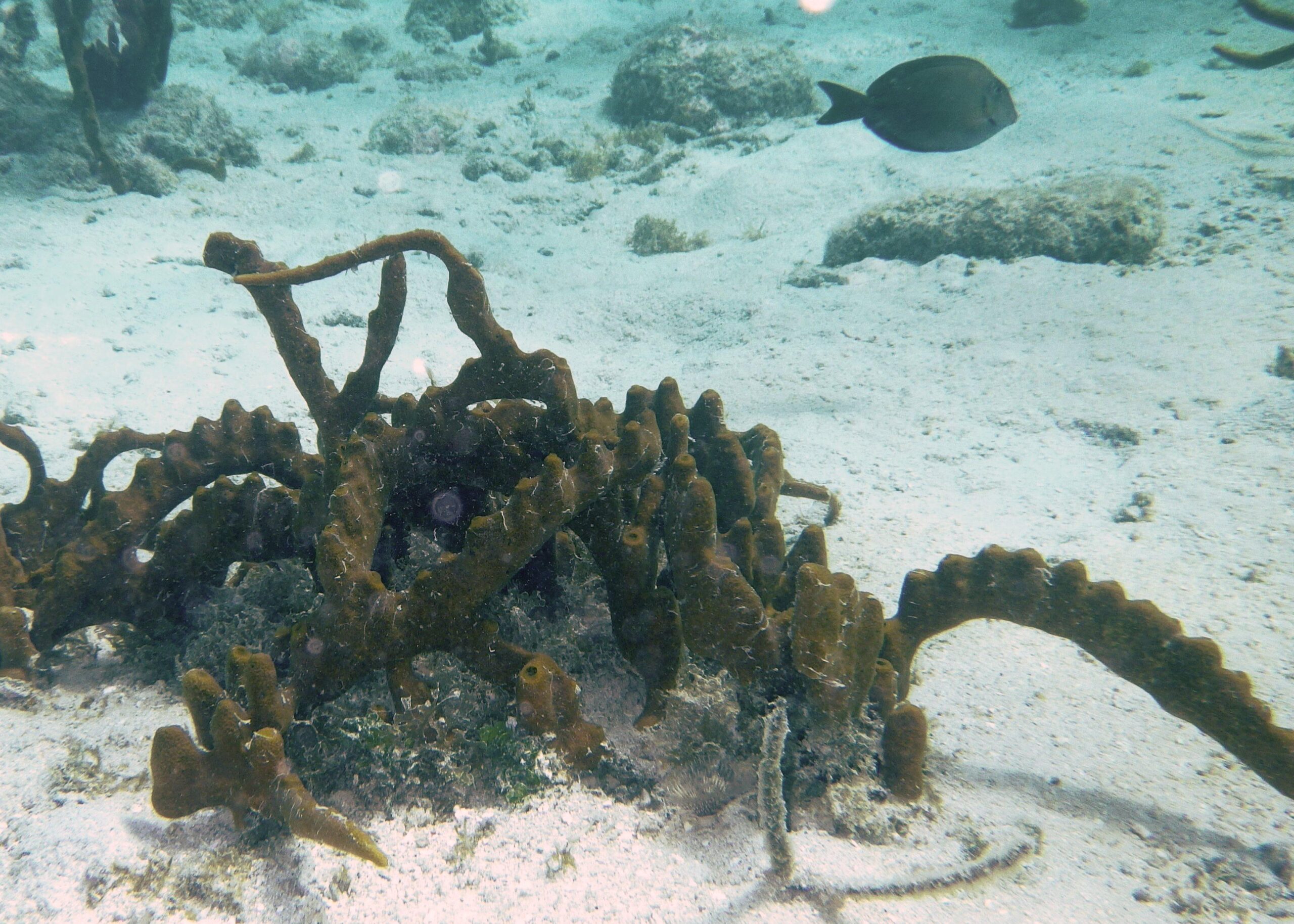
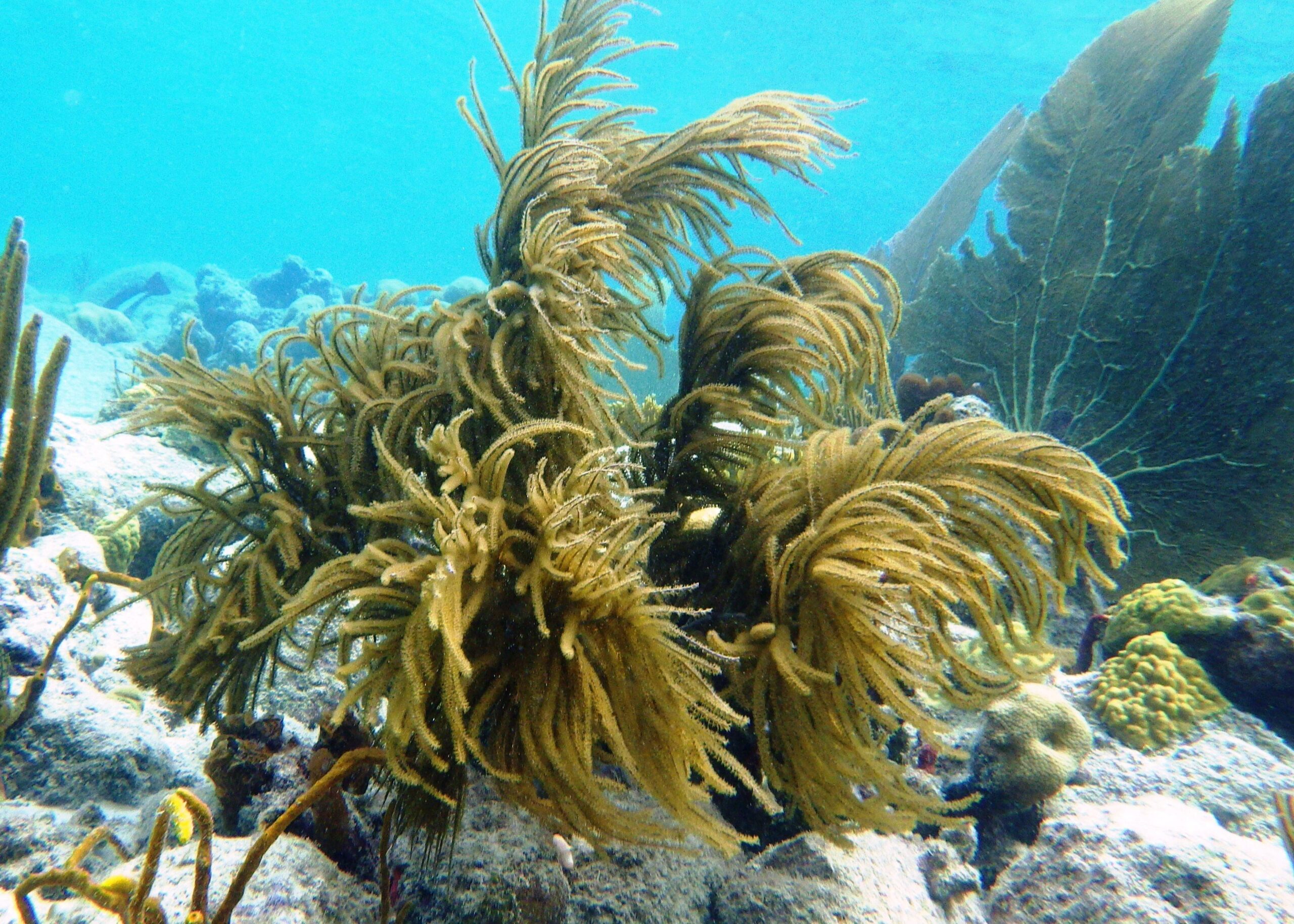
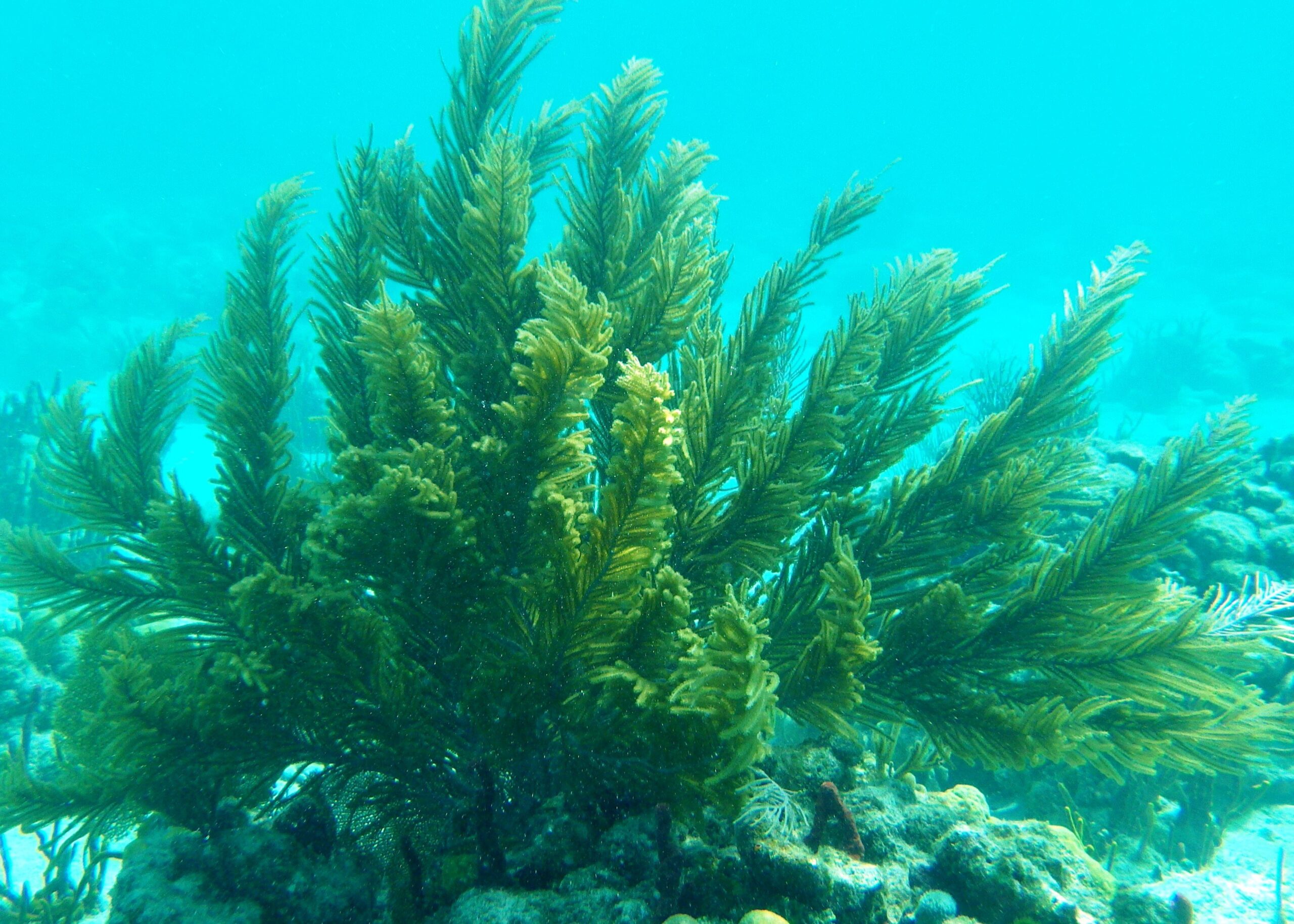
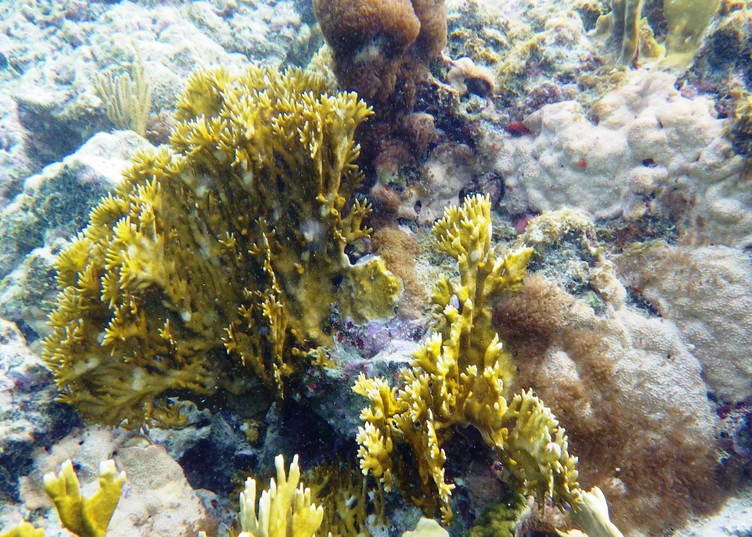
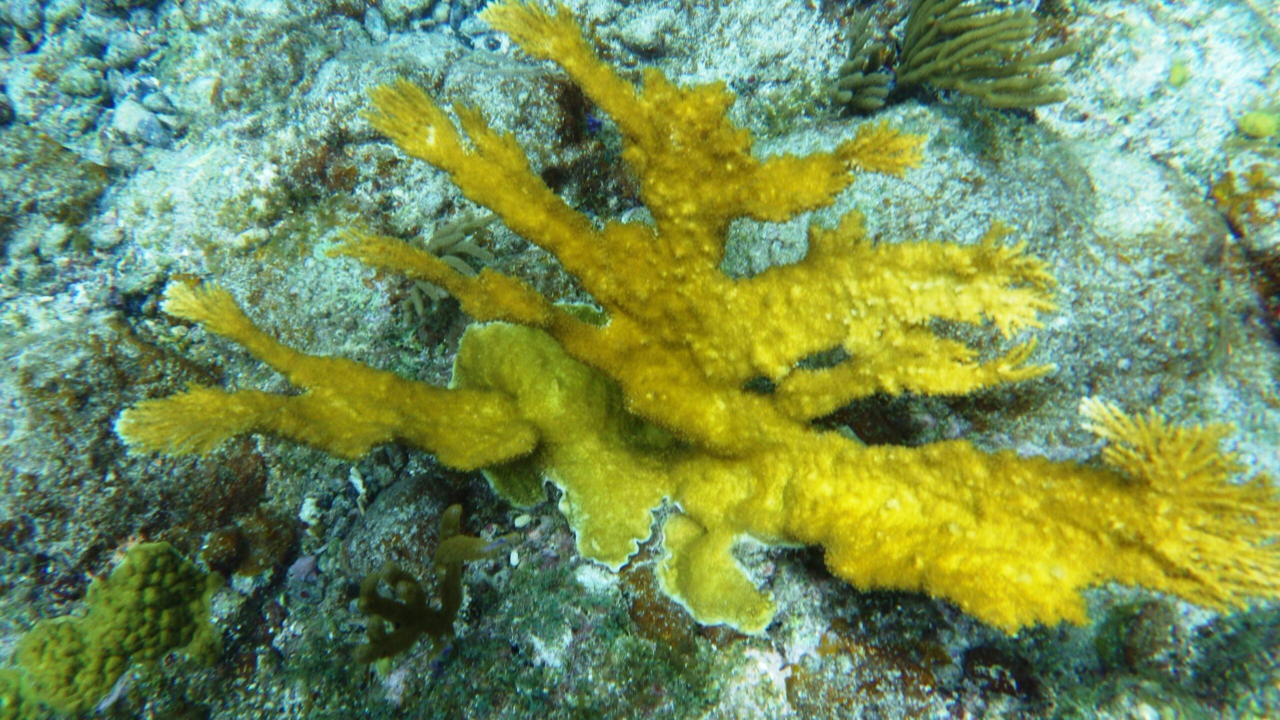
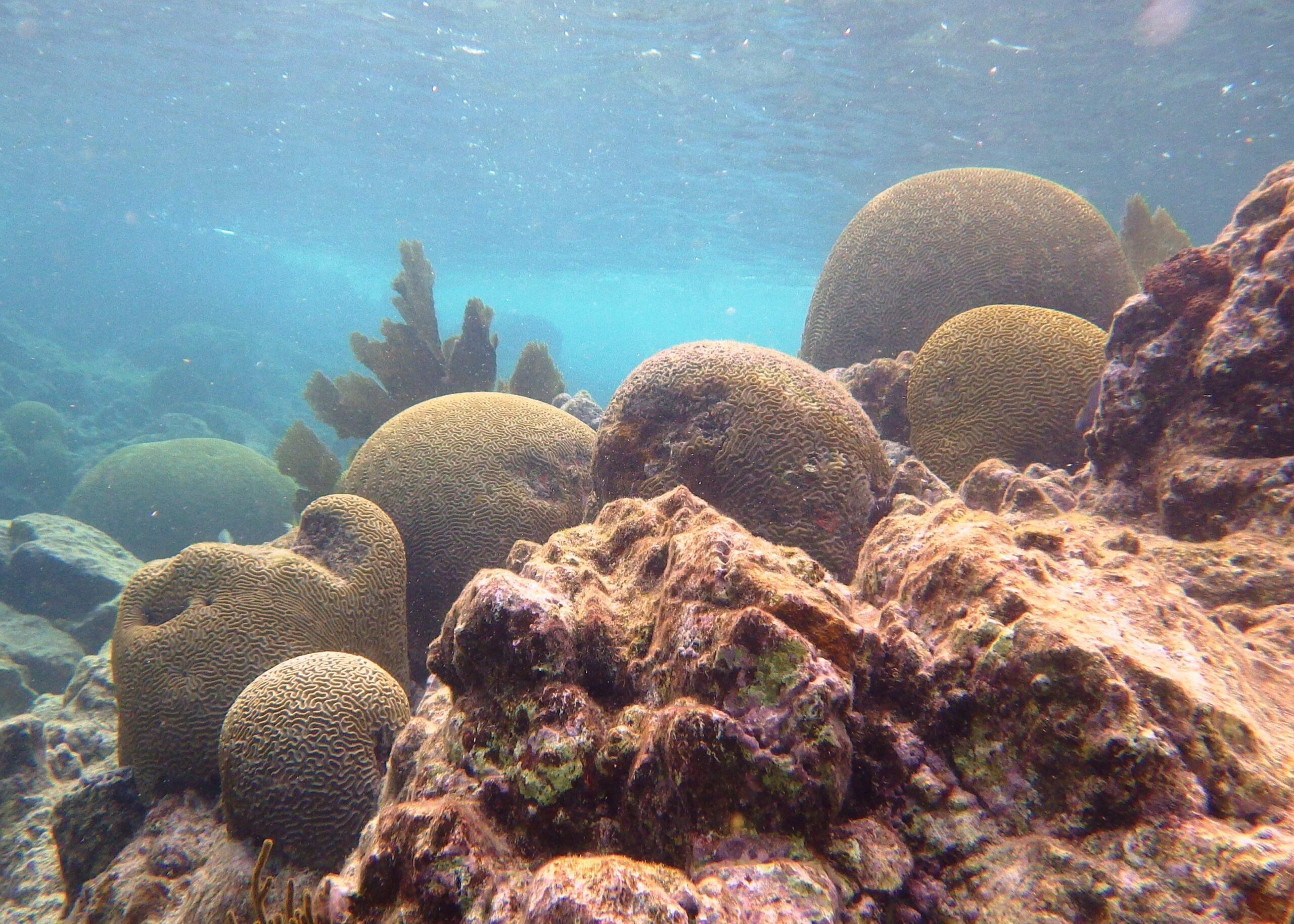
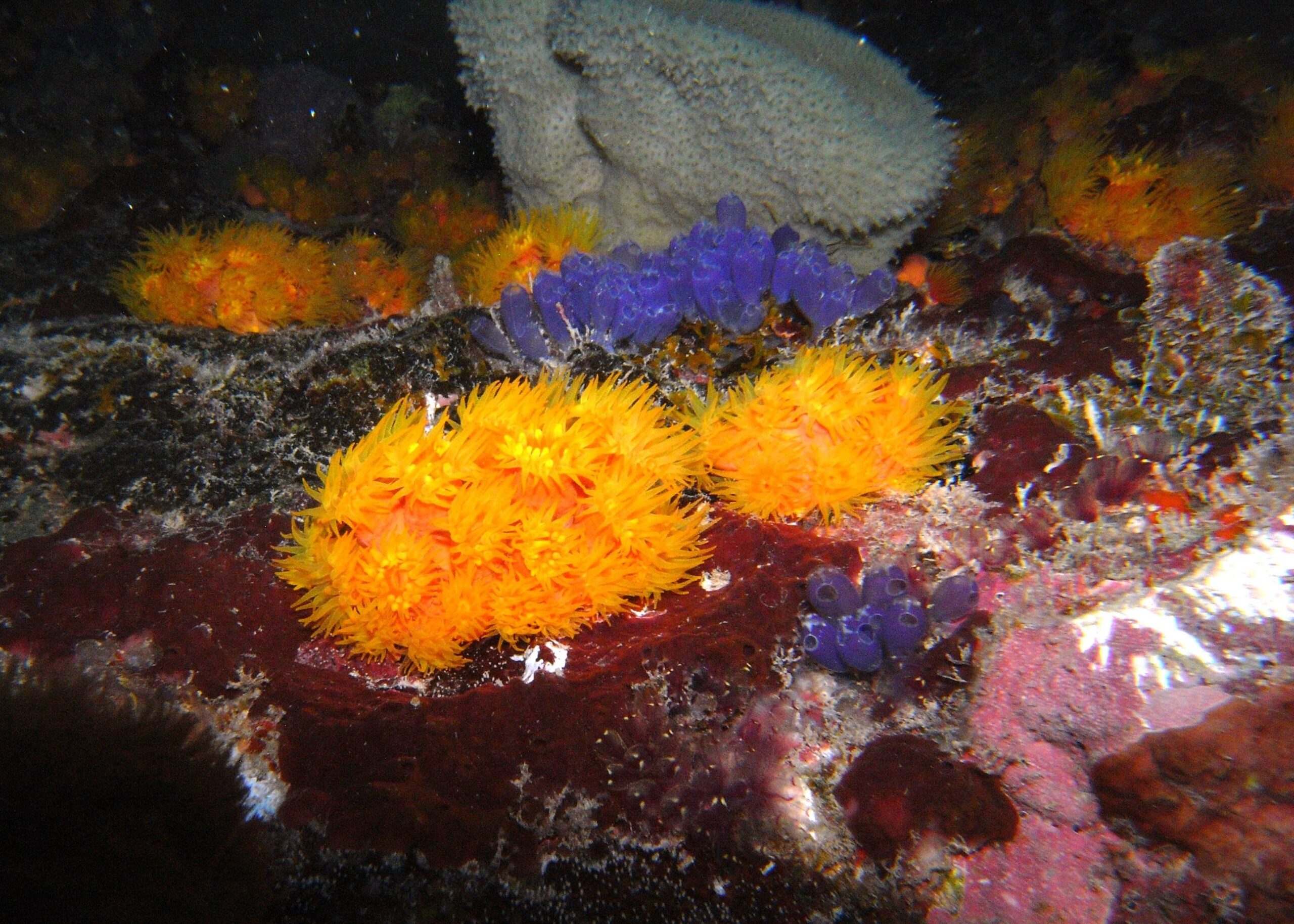
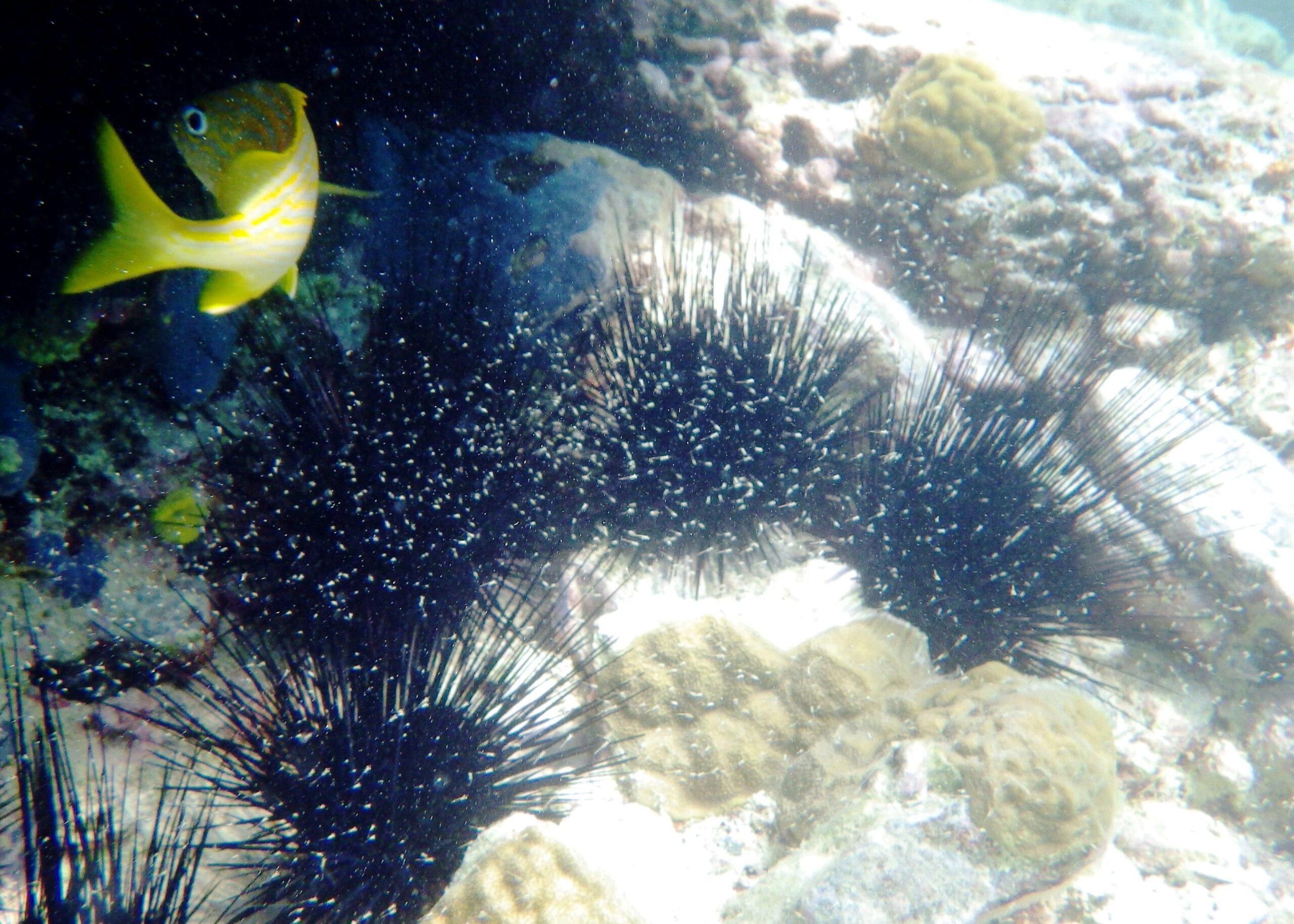
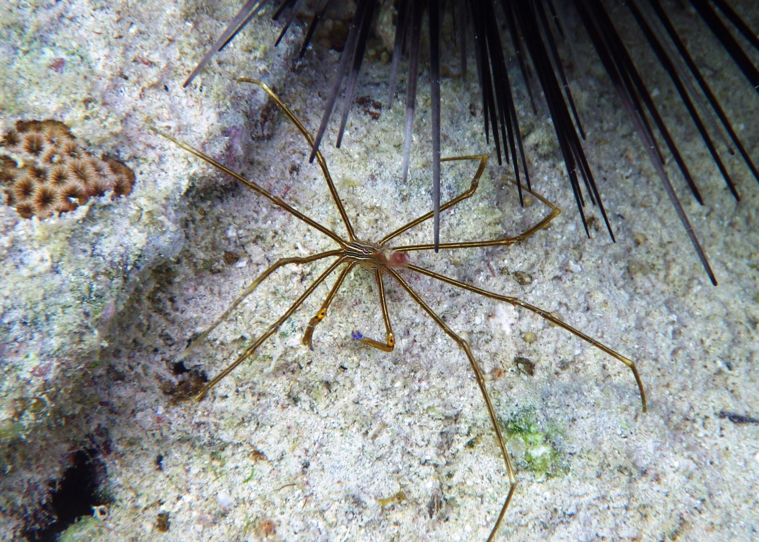
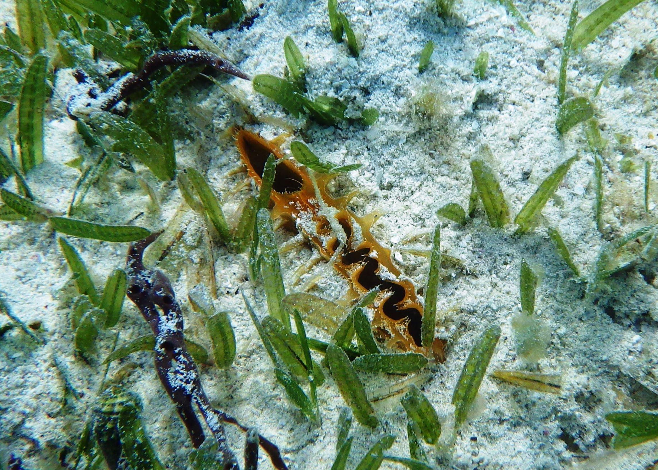
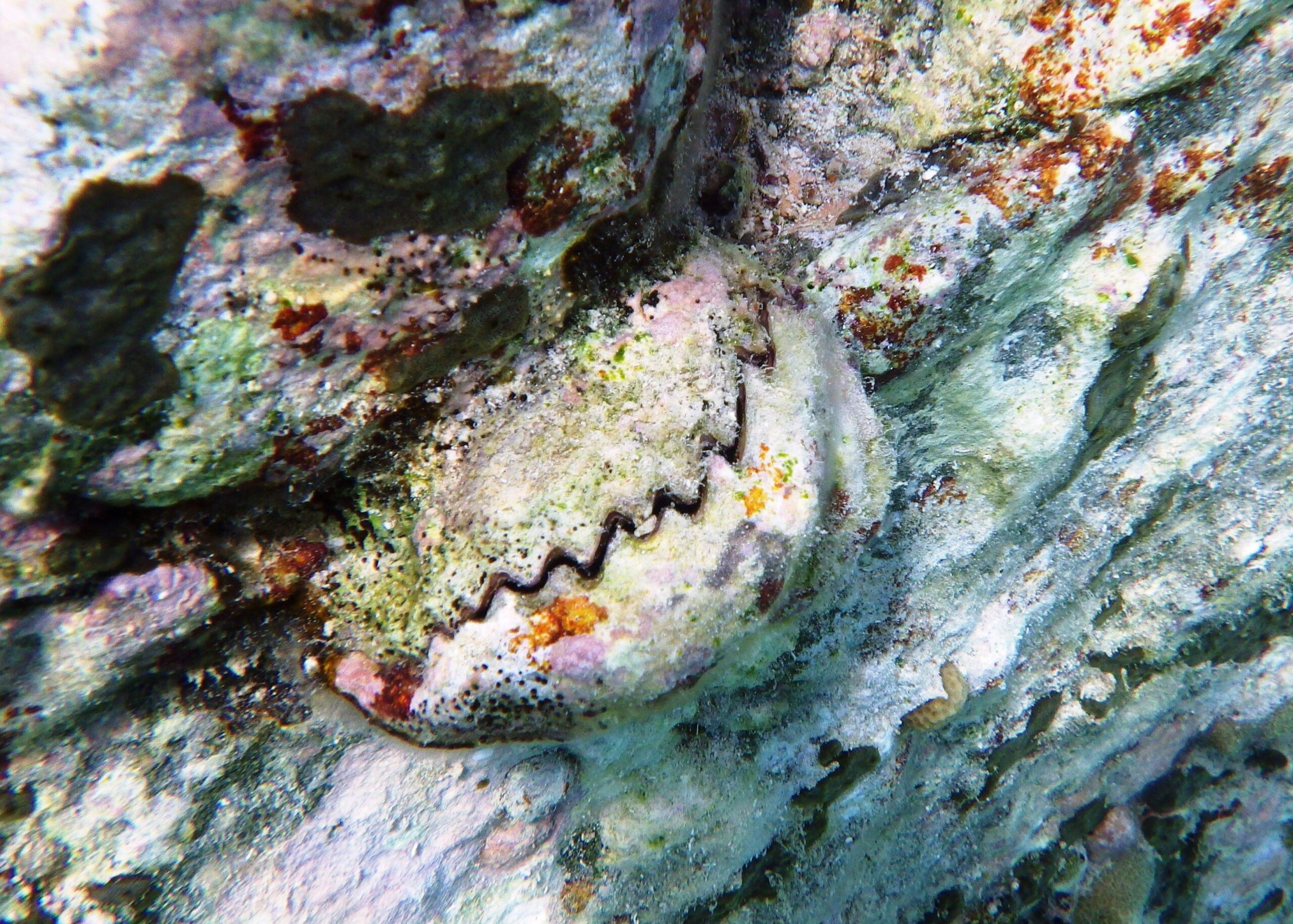
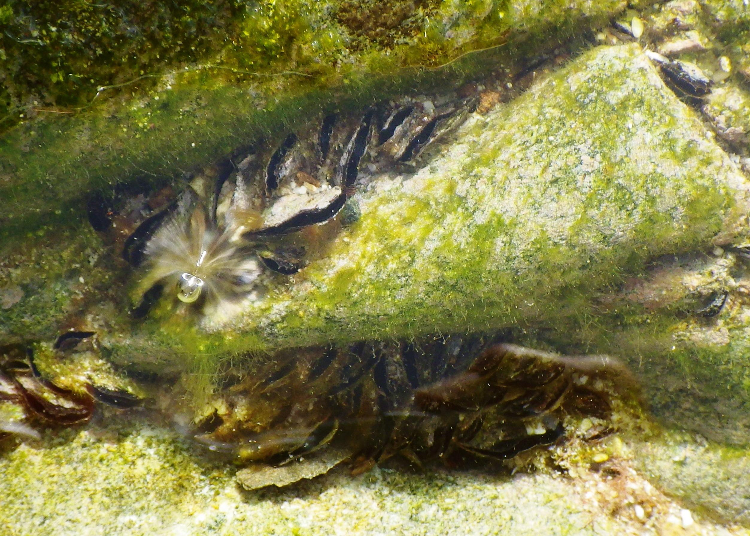
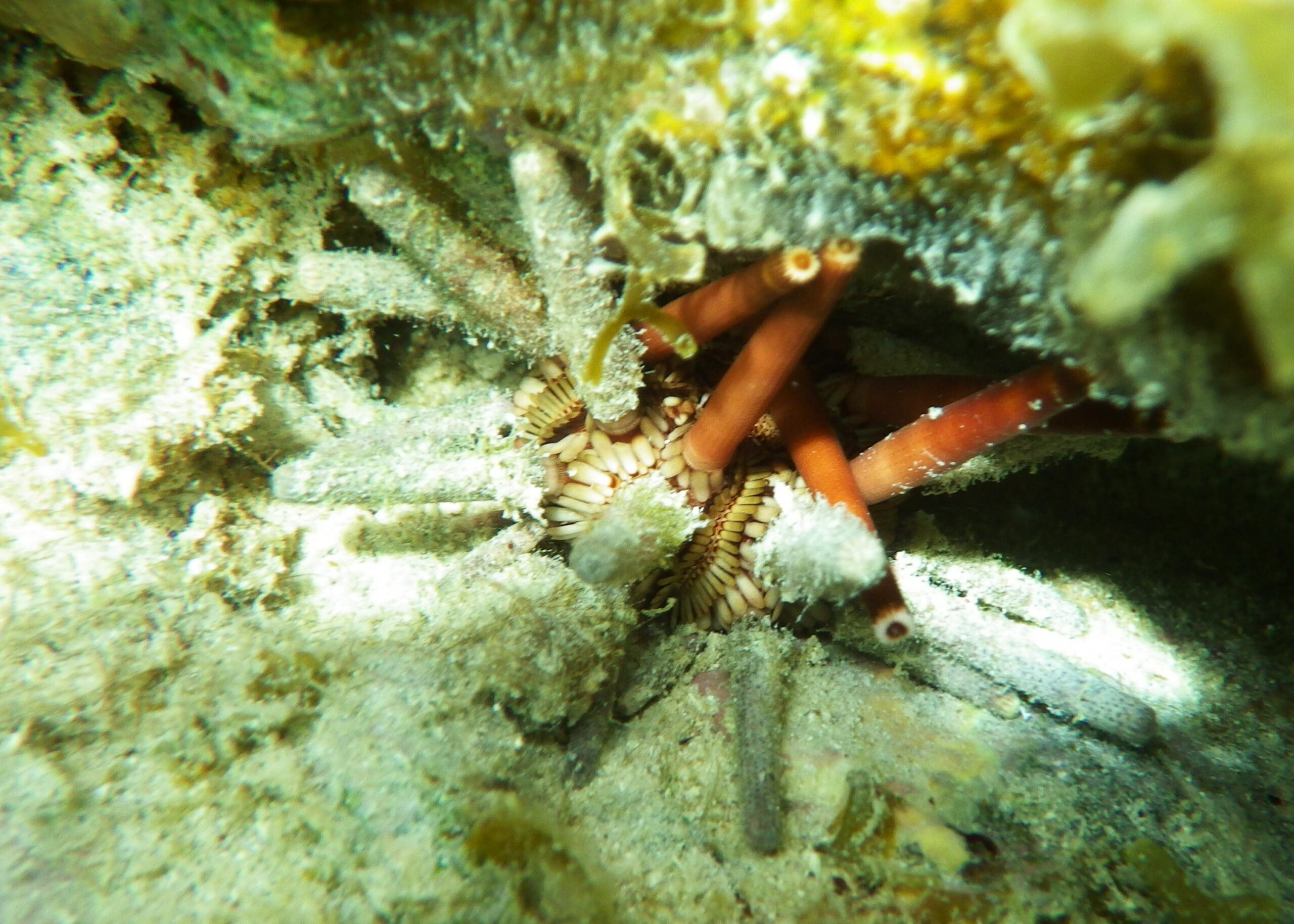
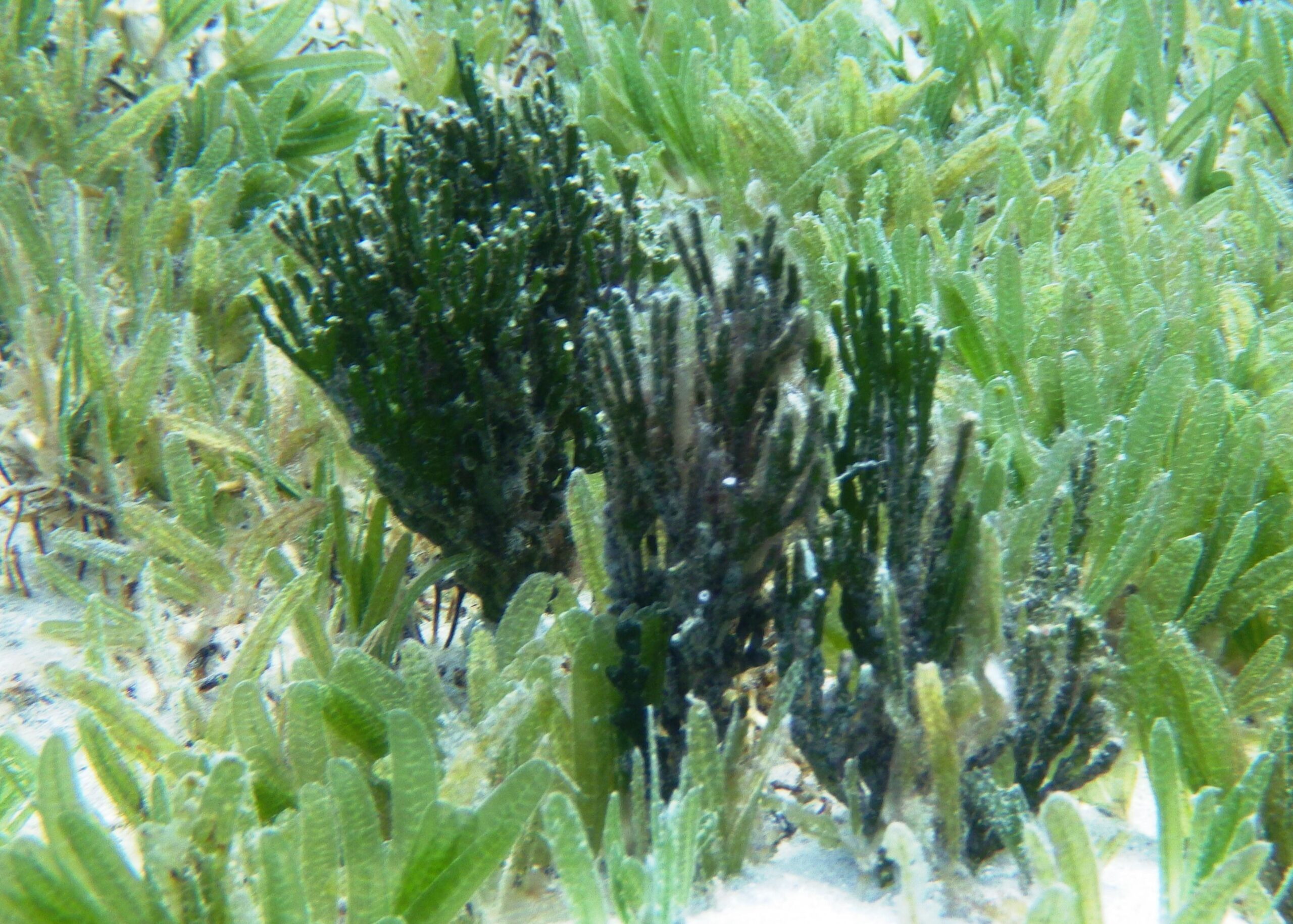
The small beach at Turtle Bay (area 4) has good reef to both the left and right. To the left are some good examples of Staghorn Coral. To the right there are some spectacular rocky outcrops, however this area is subject to stronger currents and heading towards and around Hawksnet Point should only be attempted by the most experienced snorkellers. Numerous examples of Stringrays were noted in this area.
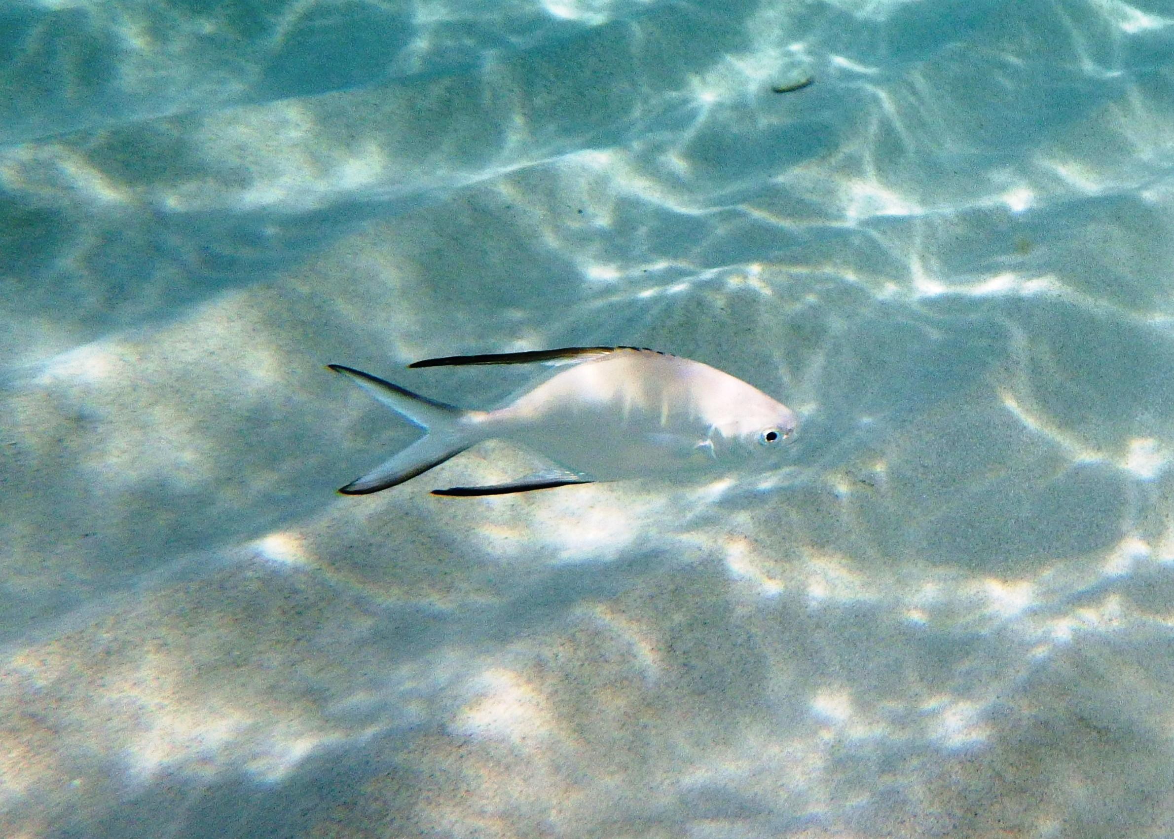
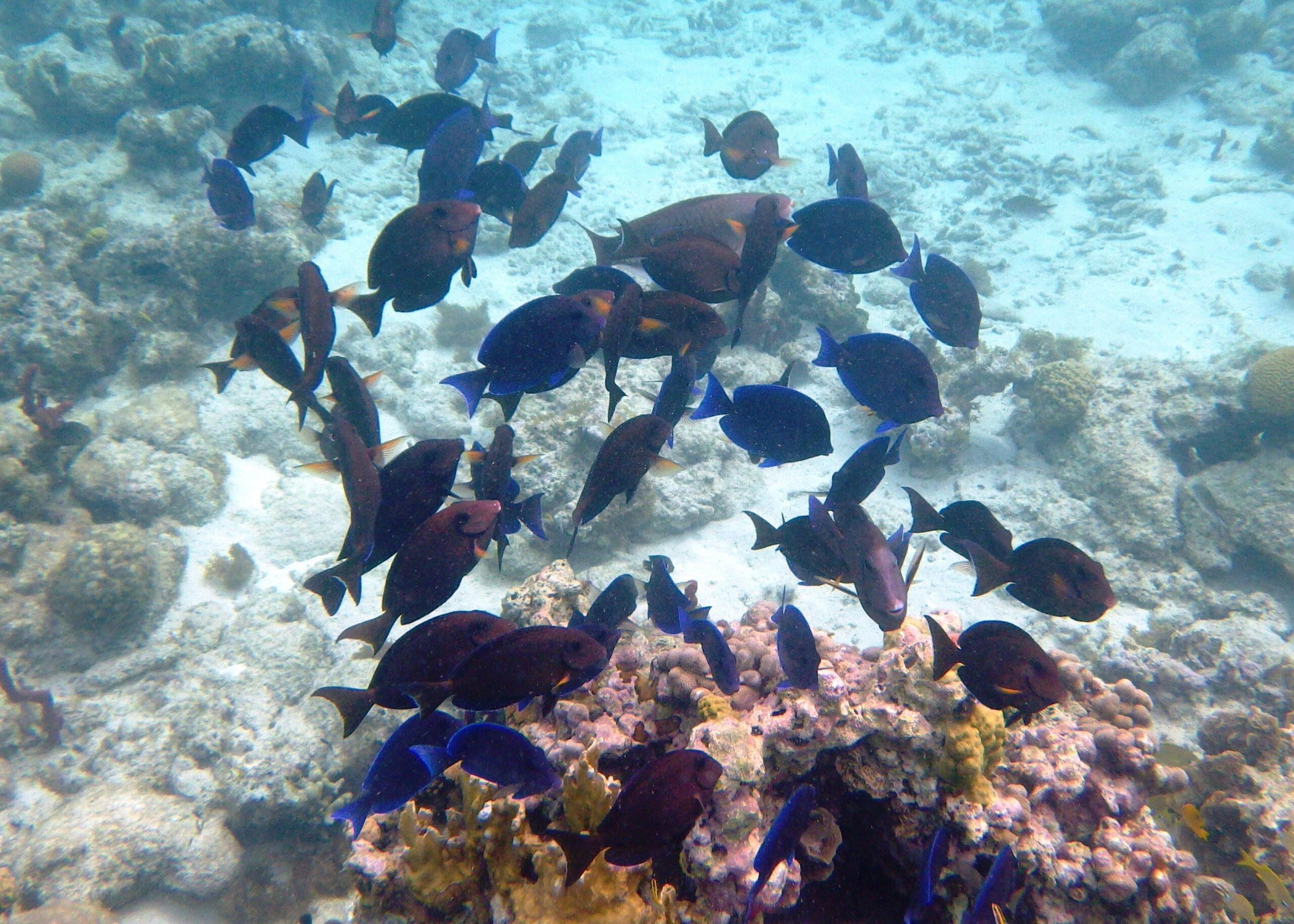
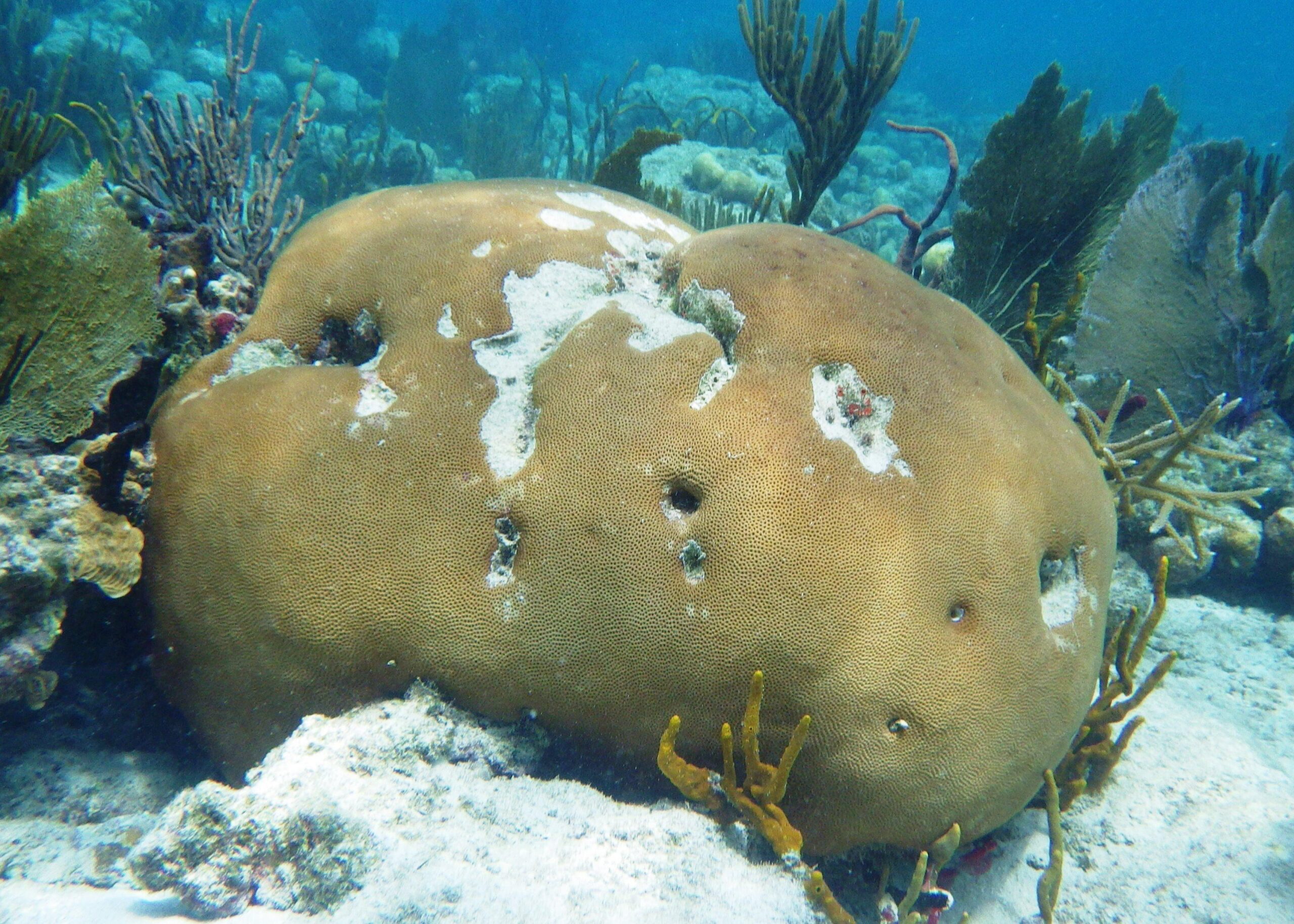
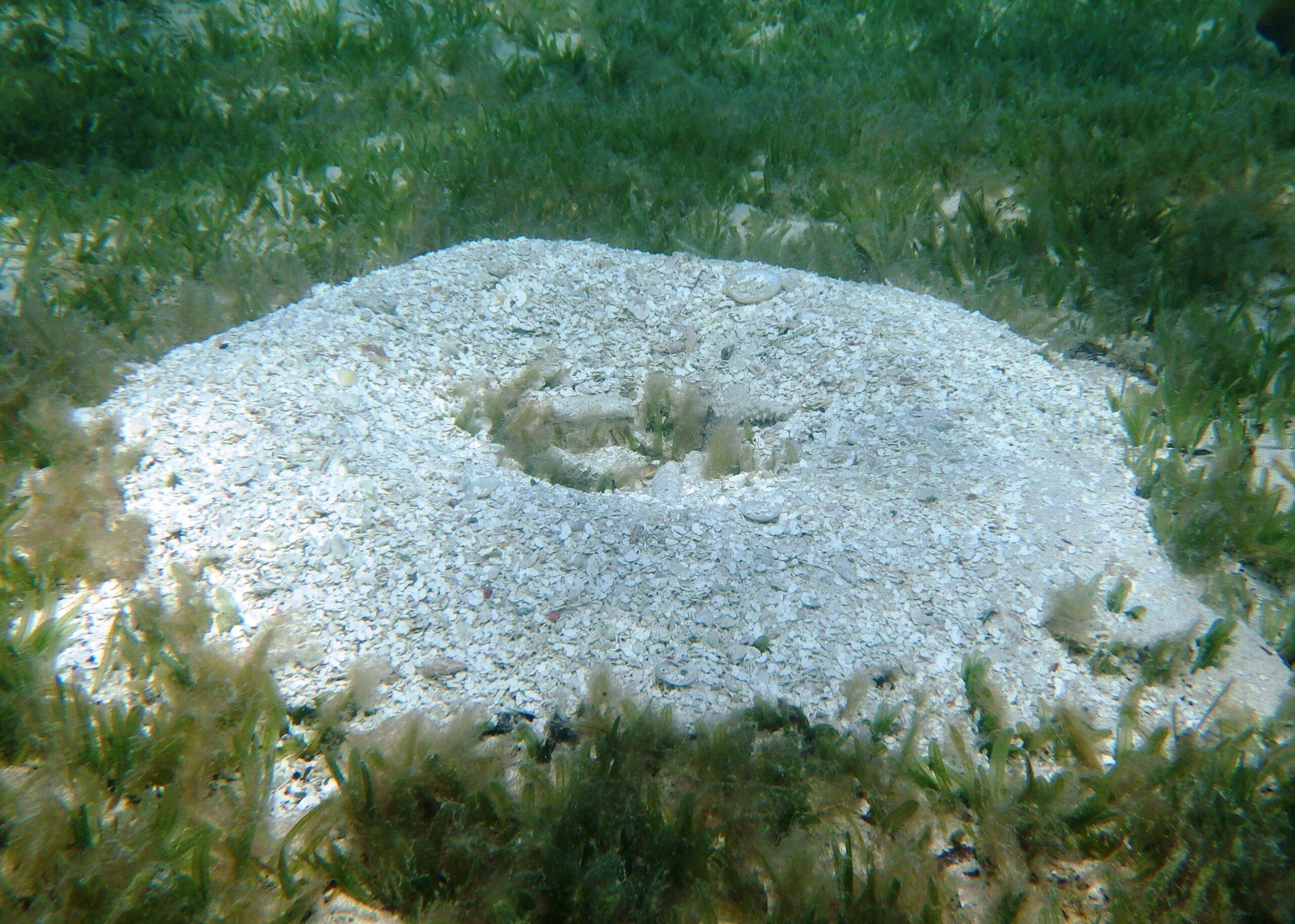
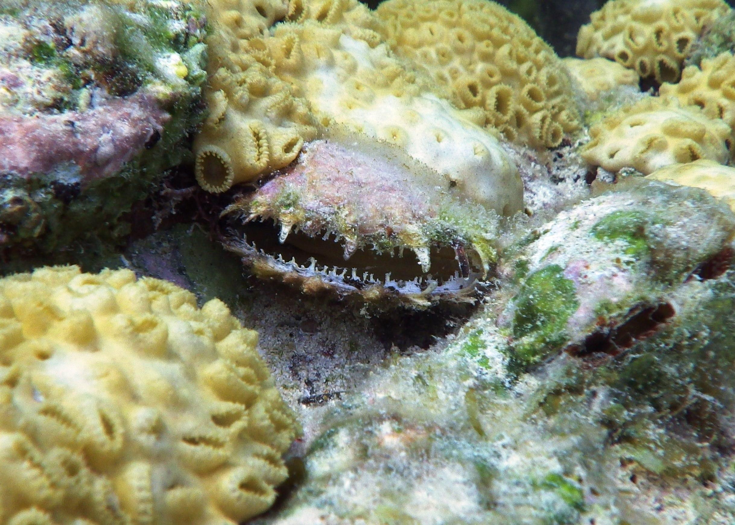
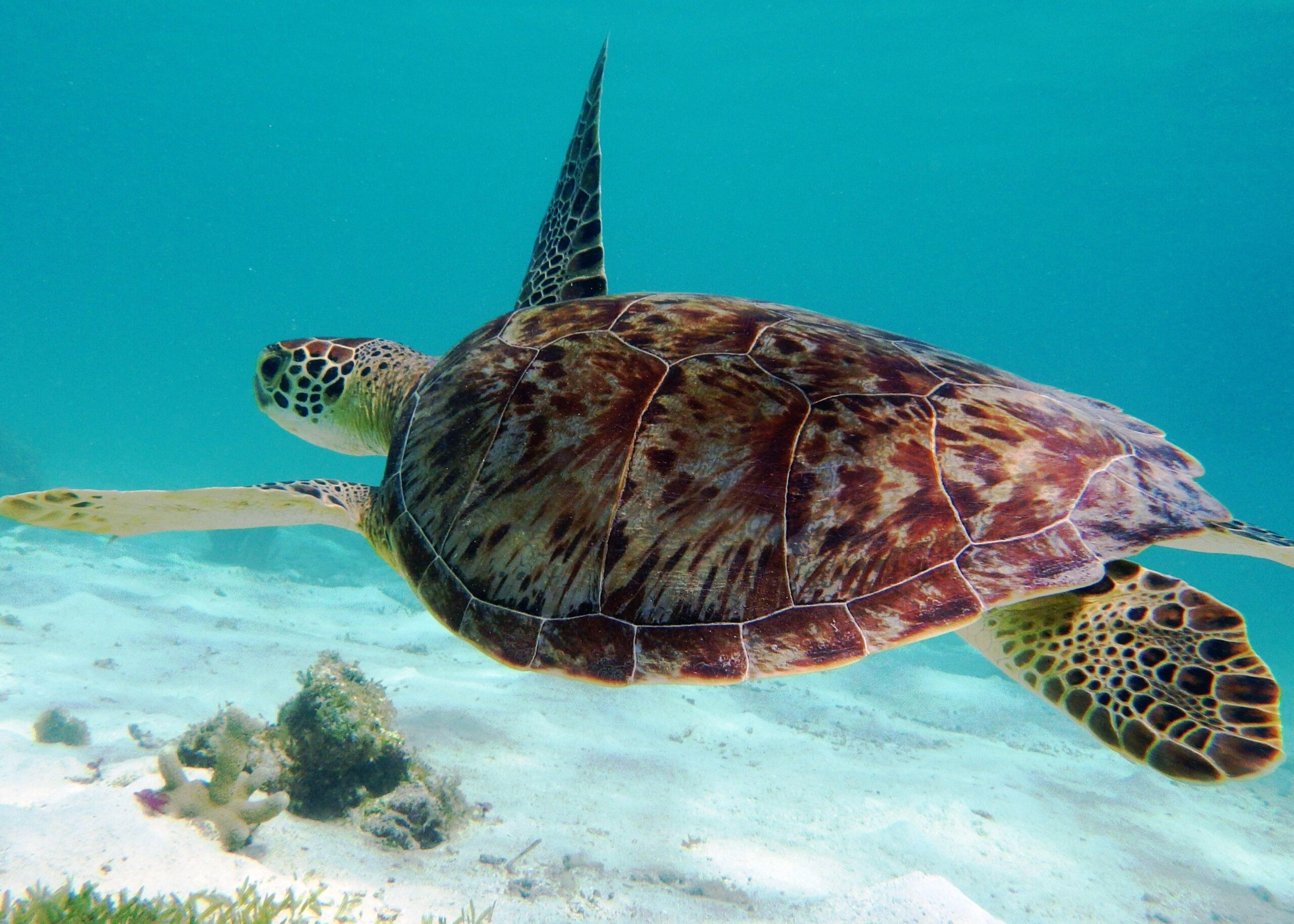
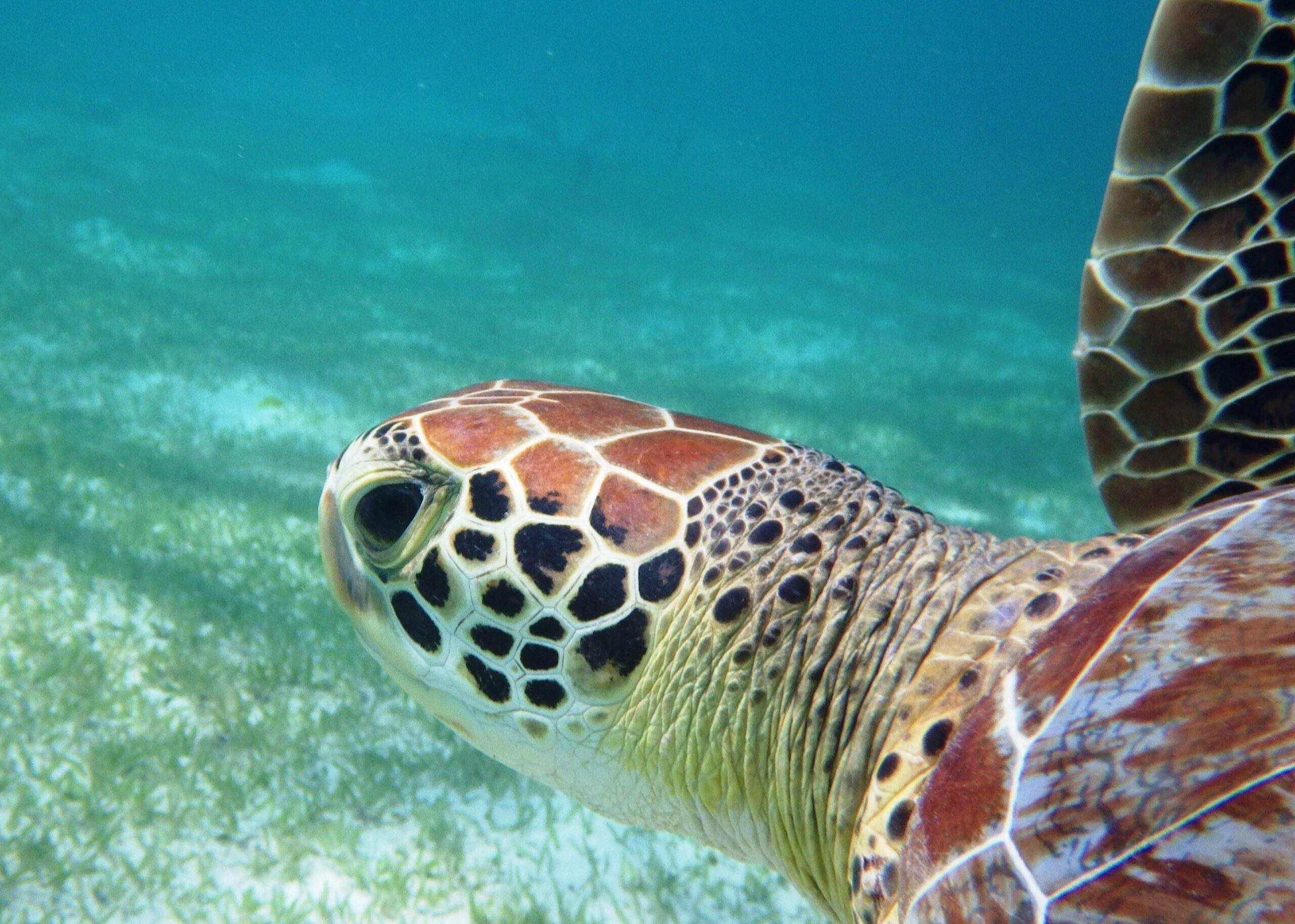
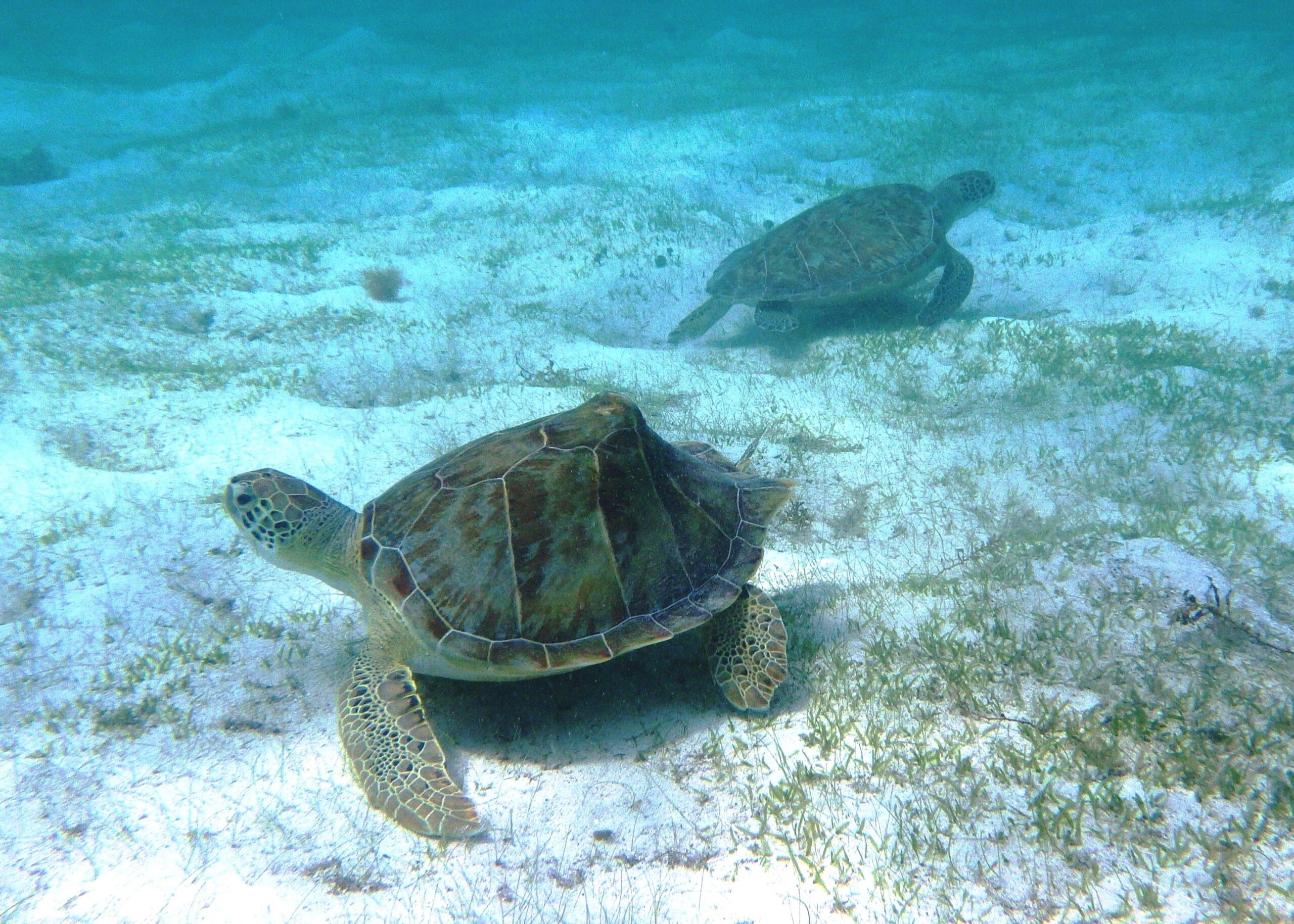
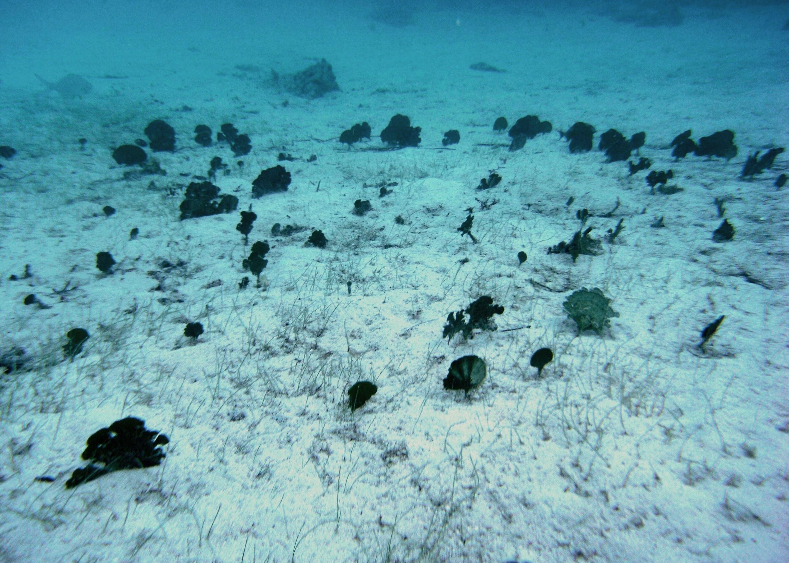
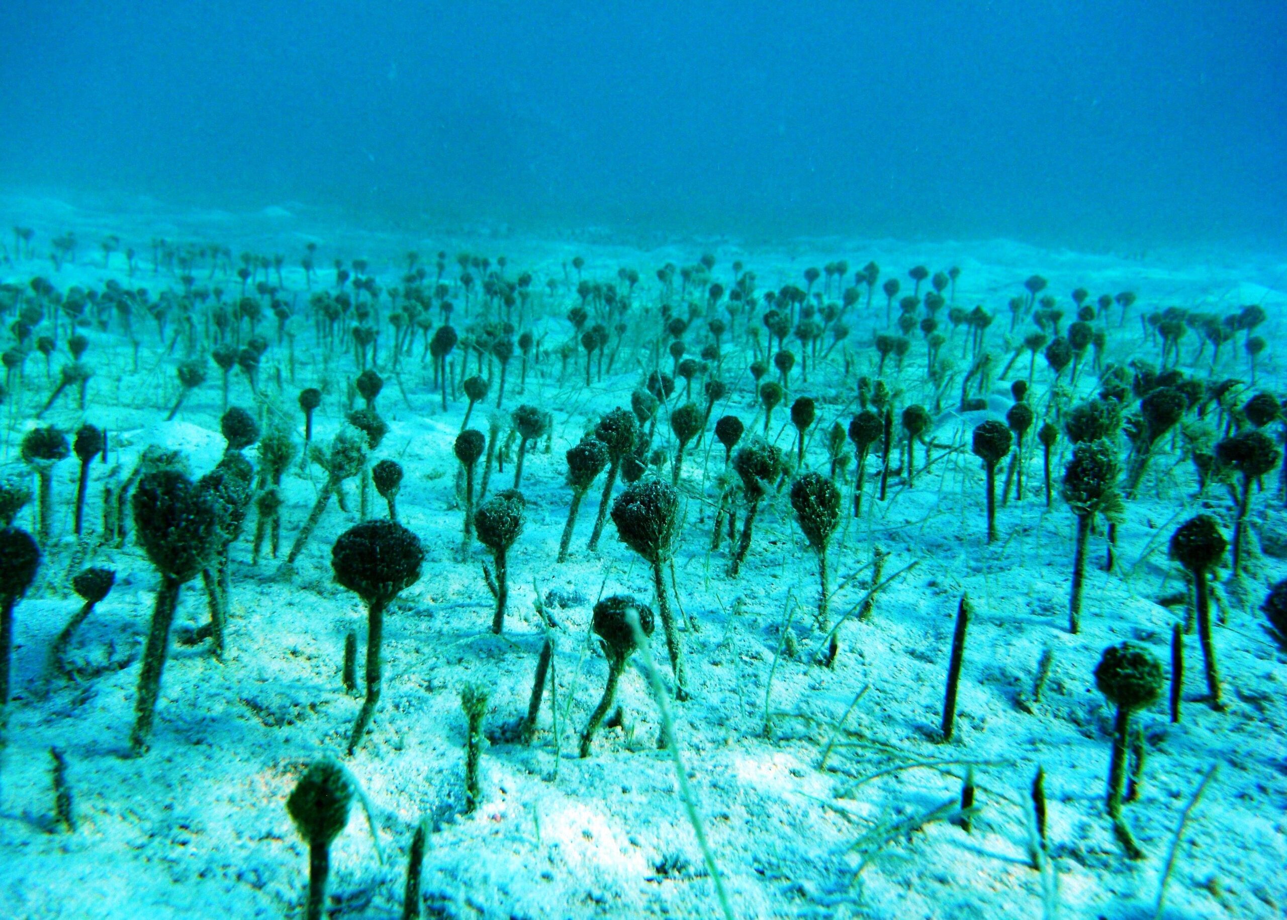
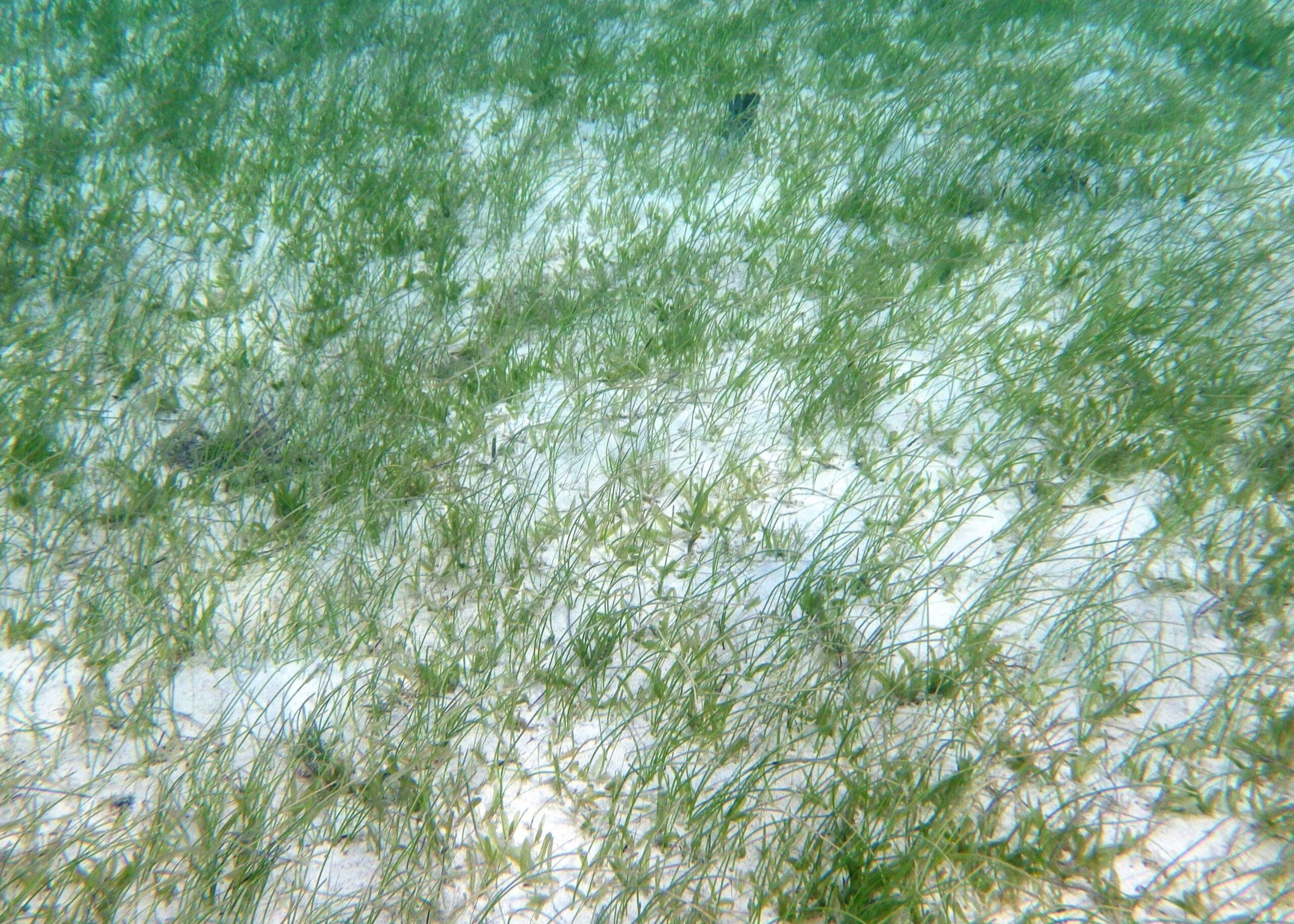
Hawksnest Bay is very wide and is substantially composed of seagrass, hence is popular with turtles. The reef and shallow boulder strew sands to the left of the bay supports a wide variety of fish species, including large shoals of some of the more open water species.
The description of the area is based on the numbering the bays as follows; 1) Honeymoon Beach, 2) Caneel Bay, 3) Scott Beach, 4) Turtle Bay and 5) Hawksnet Bay.
Honeymoon Beach (area 1). Access to the water is easy along most of the beach. The reef to the left hand side of the beach has some good examples of large sponge species. This reef area is relatively flat and gradually slopes into the sand and seagrass beds.
Caneel Bay Beach (area 2) is in front of the main hotel facilities. The centre of the bay is subject to some vessel activity so be aware. The headland to the right of the beach has a particularly good variety of fish species while the centre of the bay has very healthy seagrass communities.
Scott Beach (area 3), has several areas of shallow rock ledges, so choose your access and exit point carefully. Once in the water the ledges can be followed to the right, with plenty of fish choosing the shelter provided under the ledges.
Swimming towards the headland to the right of Scott Beach numerous examples of Elkhorn coral can be observed. Be aware of currents in this area.
The small beach at Turtle Bay (area 4) has good reef to both the left and right. To the left are some good examples of Staghorn Coral. To the right there are some spectacular rocky outcrops, however this area is subject to stronger currents and heading towards and around Hawksnet Point should only be attempted by the most experienced snorkellers. Numerous examples of Stringrays were noted in this area.
Hawksnet Bay is very wide and is substantially composed of seagrass, hence is popular with turtles. The reef and shallow boulder strew sands to the left of the bay supports a wide variety of fish species, including large shoals of some of the more open water species.