The Manoah Boutique Hotel, Austin Rogers Road, Shoal Bay East, Anguilla, B.W.I.
Coordinates in degrees decimal: 18.25485556 N, -63.03075556. E
Visited in February 2023. Photographers: Nigel and Sylviane Thomas. Cameras: Olympus Tough T5, T6 and Nikon Coolpix W300.
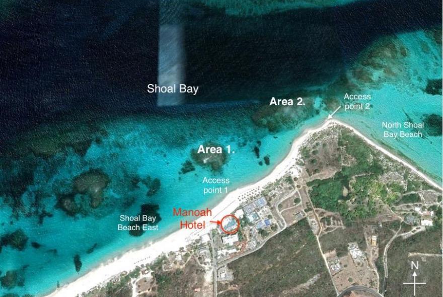
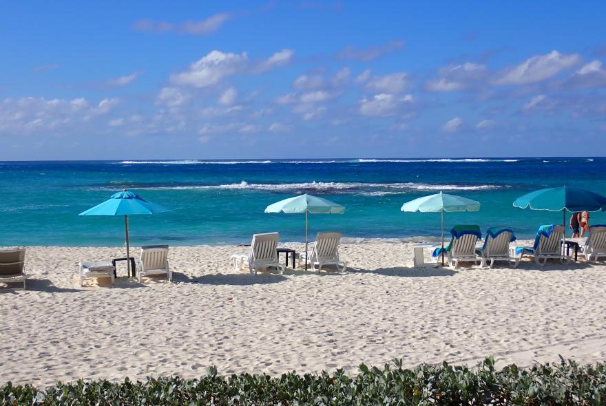
The Manoah Boutique Hotel is located on the beautiful, white sandy beach of Shoal Bay East, towards the north-east of the island of Anguilla. The beach allows easy access to several outcrops of coral reef.
Anguilla is a British Overseas Territory and is one of the most northerly of the Leeward Islands in the Lesser Antilles, located in the Caribbean Sea. It lies north of the island of Saint Martin/Sint Maarten and to the east of both Puerto Rico and the Virgin Islands. The main island of Anguilla is composed of low-lying coral and limestone and is approximately 26km long by 5km wide, although several unpopulated islands and cays may be found to the north.
Access to Anguilla (Blowing Point Terminal) is via a 30 minute ferry ride from Saint Martin/Sint Maarten, an island that is divided between the French and Dutch nations. Two international airports exist, Princess Juliana, in the southern Dutch region and Gran Case-Esperance, in the French northern area. Both have direct flights from Europe and north America, as well as inter-island flights from the rest of the Caribbean. Anguilla itself has an international airport, which is serviced by American Airlines, with direct flights from Miami.
The climate in Anguilla is tropical, the hottest period is from May to November, when it can exceed 30C. The slightly cooler period is from December to March, occassionally as low as 23C. However, the year-round average temperature is 27.5C. Rainfall is generally episodic in the form of short-lived downpours, although they may be more prolonged during hurricanes and tropical storms. The highest humidity is noted during May to October.
The weather and water conditions that might affect snorkelling include:
- Highest rainfall is between September and November, when up to 13cm may fall within the month.
- Seawater temperatures are generally warm, with highs of 29C in September and October and slightly cooler waters at around 26C between January and April.
- Relatively strong winds blow throughout the year from the North East. Wind speeds are generally between 12 and 14knts, with peak winds in the period June to July. Slightly lower wind speeds occur in the period September to November.
- Although localised winds may be low, conditions in the north Atlantic can severely affect swell in the shallow waters. These events are referred to as north swells and are not easily predicted using traditional weather forecasting.
- The final wind conditions of interest are hurricanes, which occur during the period July to November, with the last severe event occurring in 1999 (Hurricane Lenny).
- Tidal range and currents created by tidal exchange are low, with spring tidal range generally less than 0.6m.
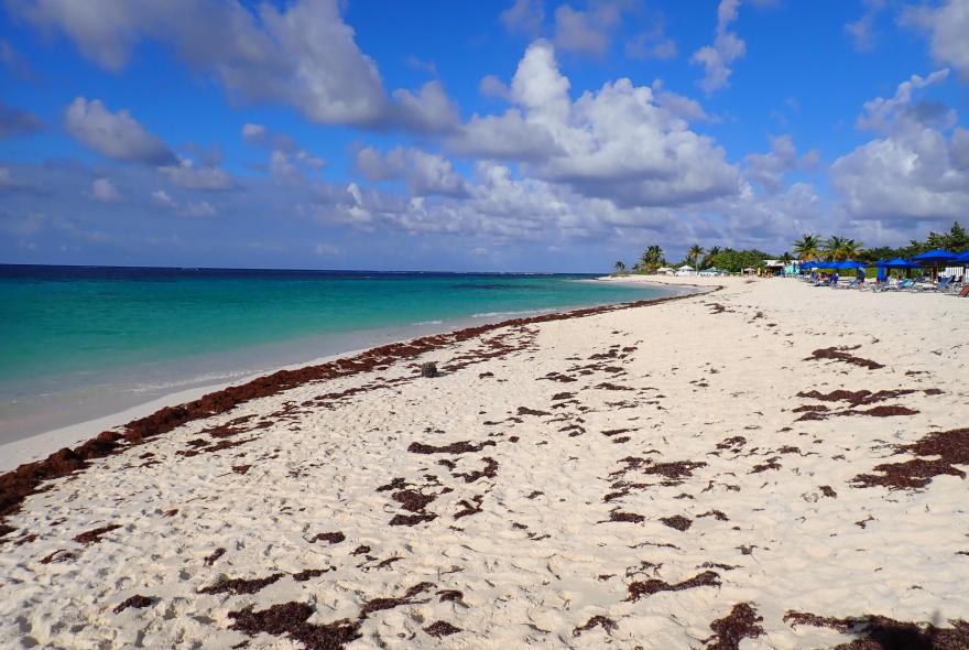
- Unfortunately, a relatively recent issue (since 2015) is the development of significant Sargassum sp. smothering of beaches. Multiple factors are responsible for this influx of algae and a “Sargassum Season” is now considered to occur between March and October.
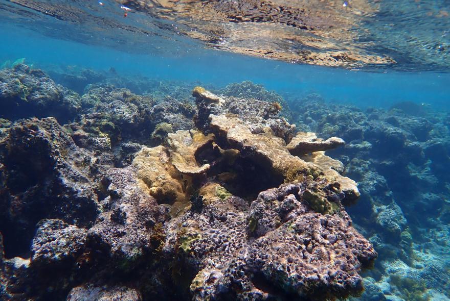
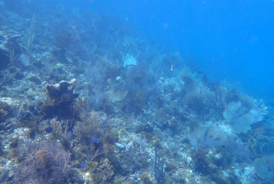
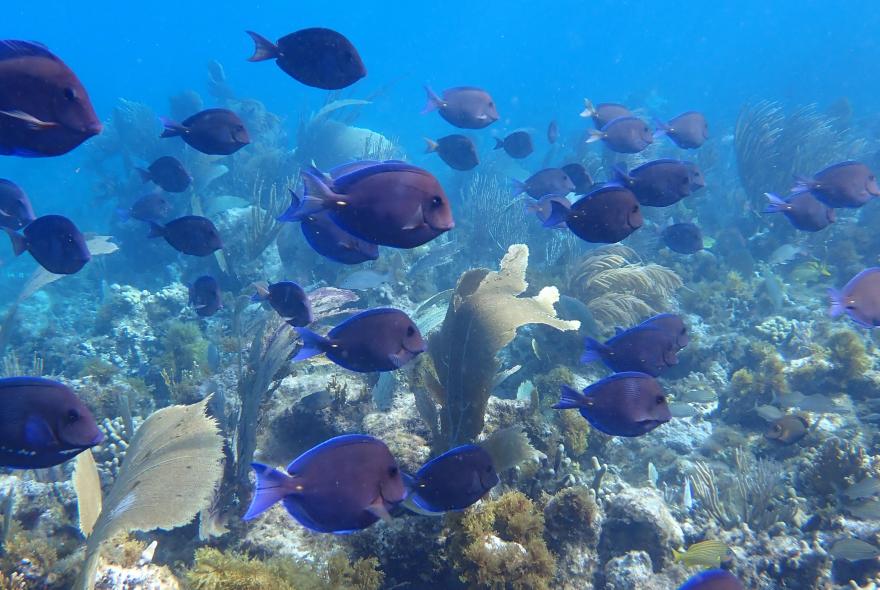
The habitats that can be observed while snorkelling in the area include beach sand; concretions/degraded coral; sand with coral debris; gently sloping rock/coral with numerous soft coral species and finally steeply sloping coral and rock.
The reef and sand areas supported a relatively sparse population of hard and soft corals, with a variety of associated fish species. A total number of 65 species were identified during our 10 day trip, including 24 fish species 10 hard coral species and 10 soft coral species.
