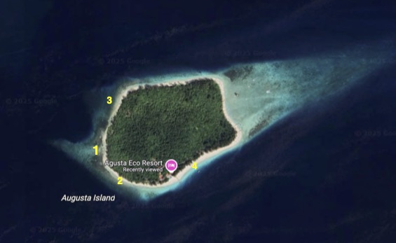
The best entry point is at the extreme west of the island, site 1. Alternative points from which to access the reef to the west of the island are numbered 2 and 3. Both of these can take you onto the same coral reef areas but may be subject to different wave and current conditions and in some cases support poorer seabed habitats.
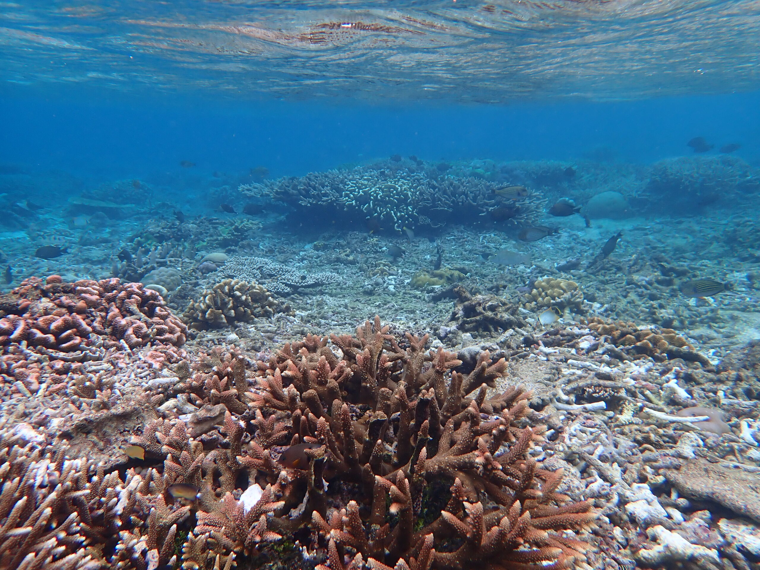
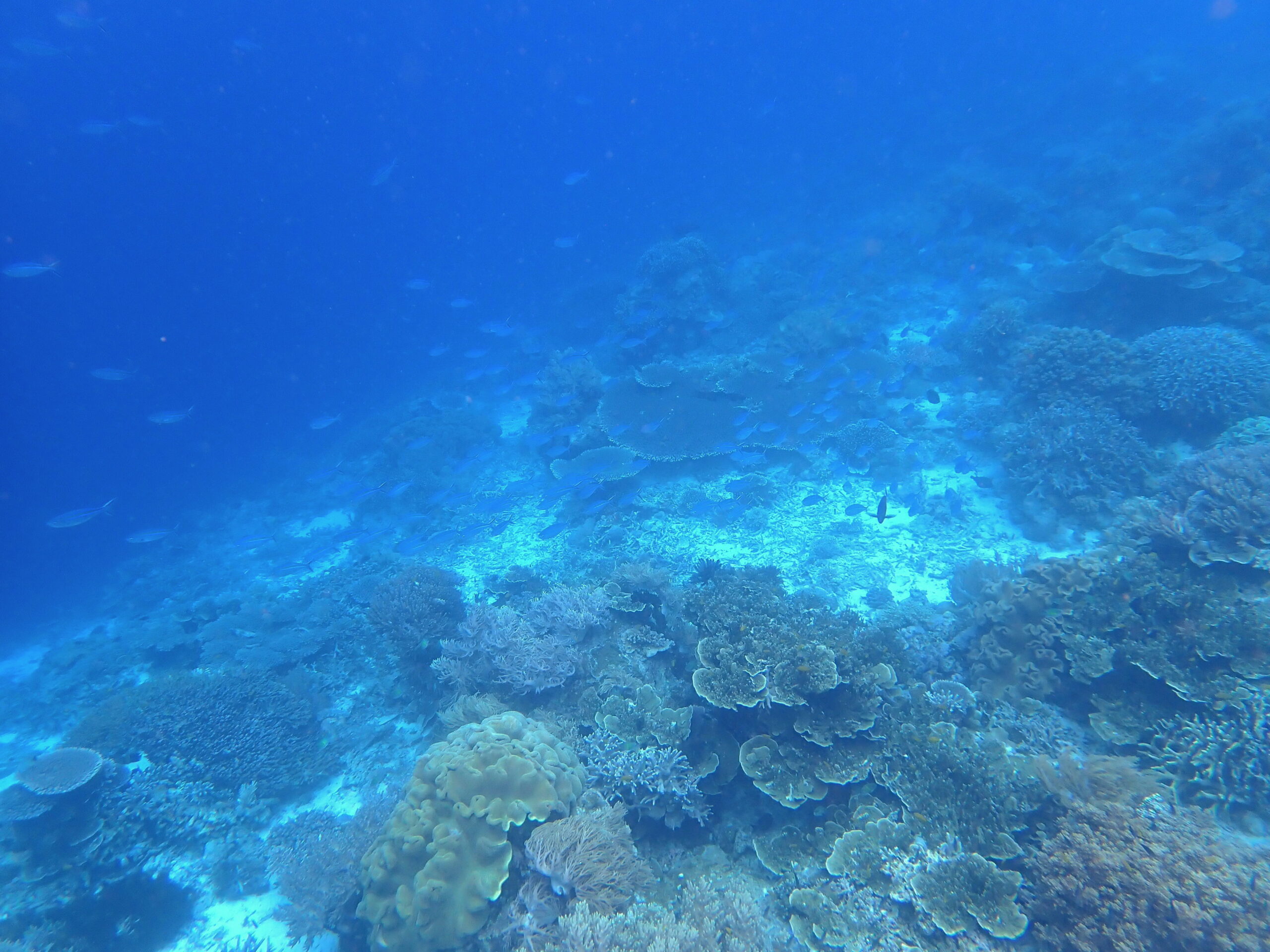
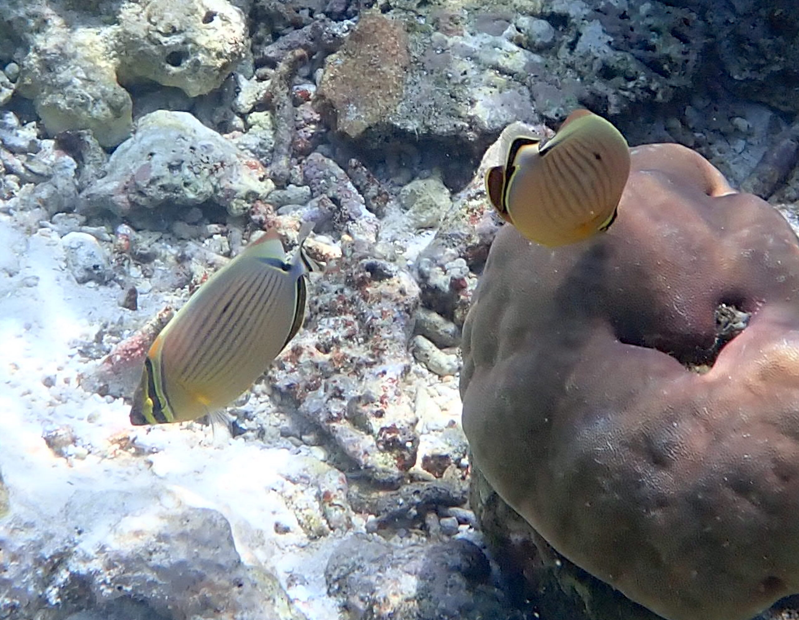
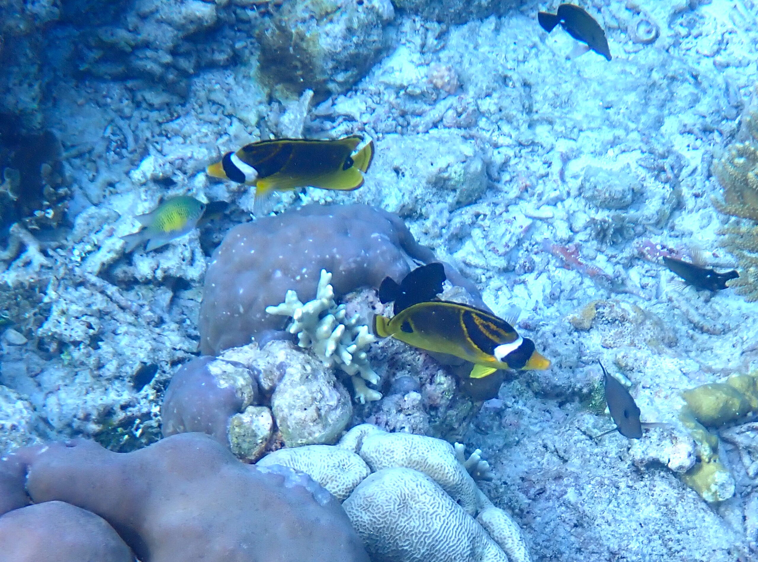
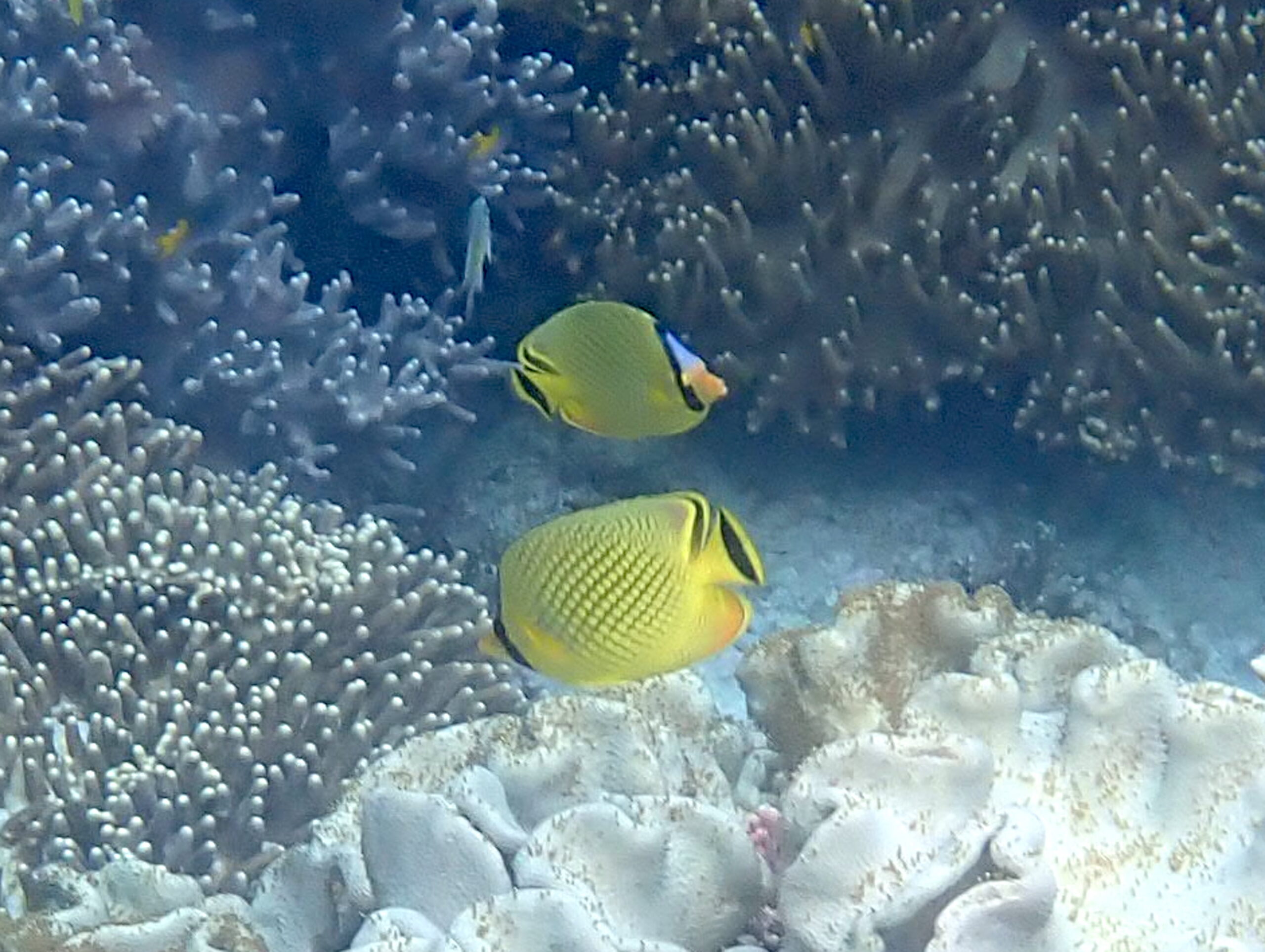
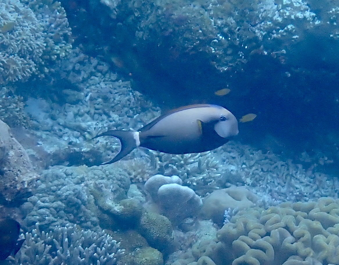
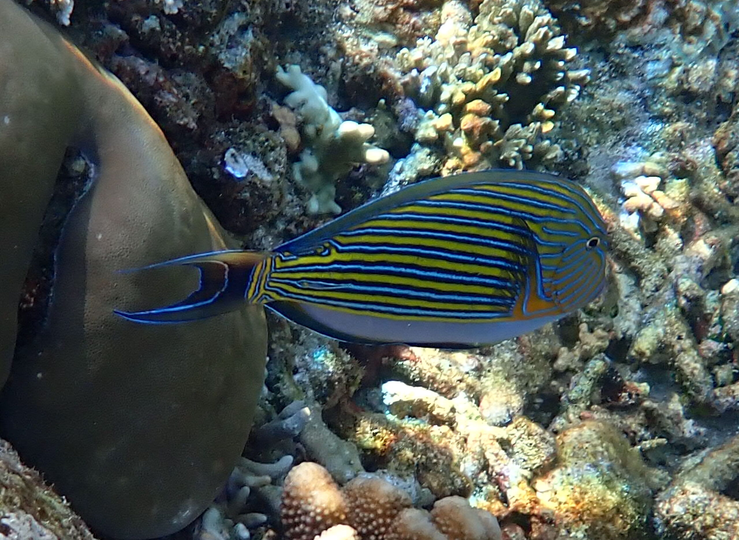
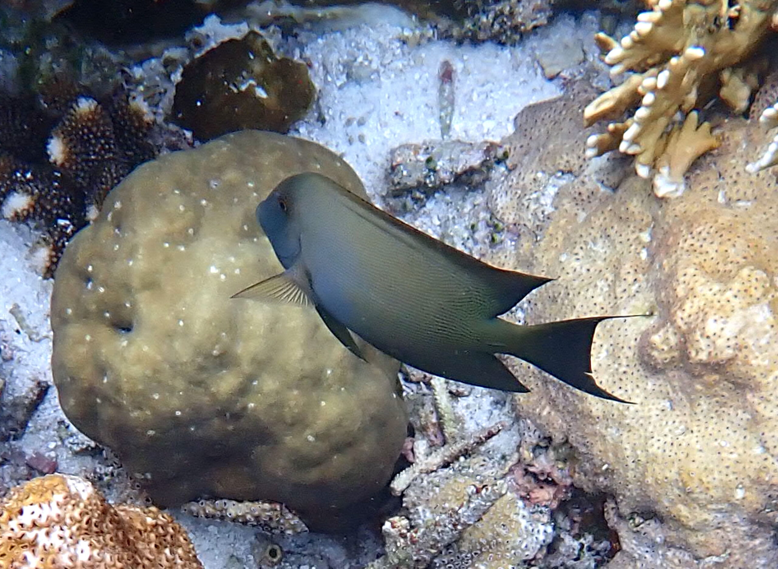
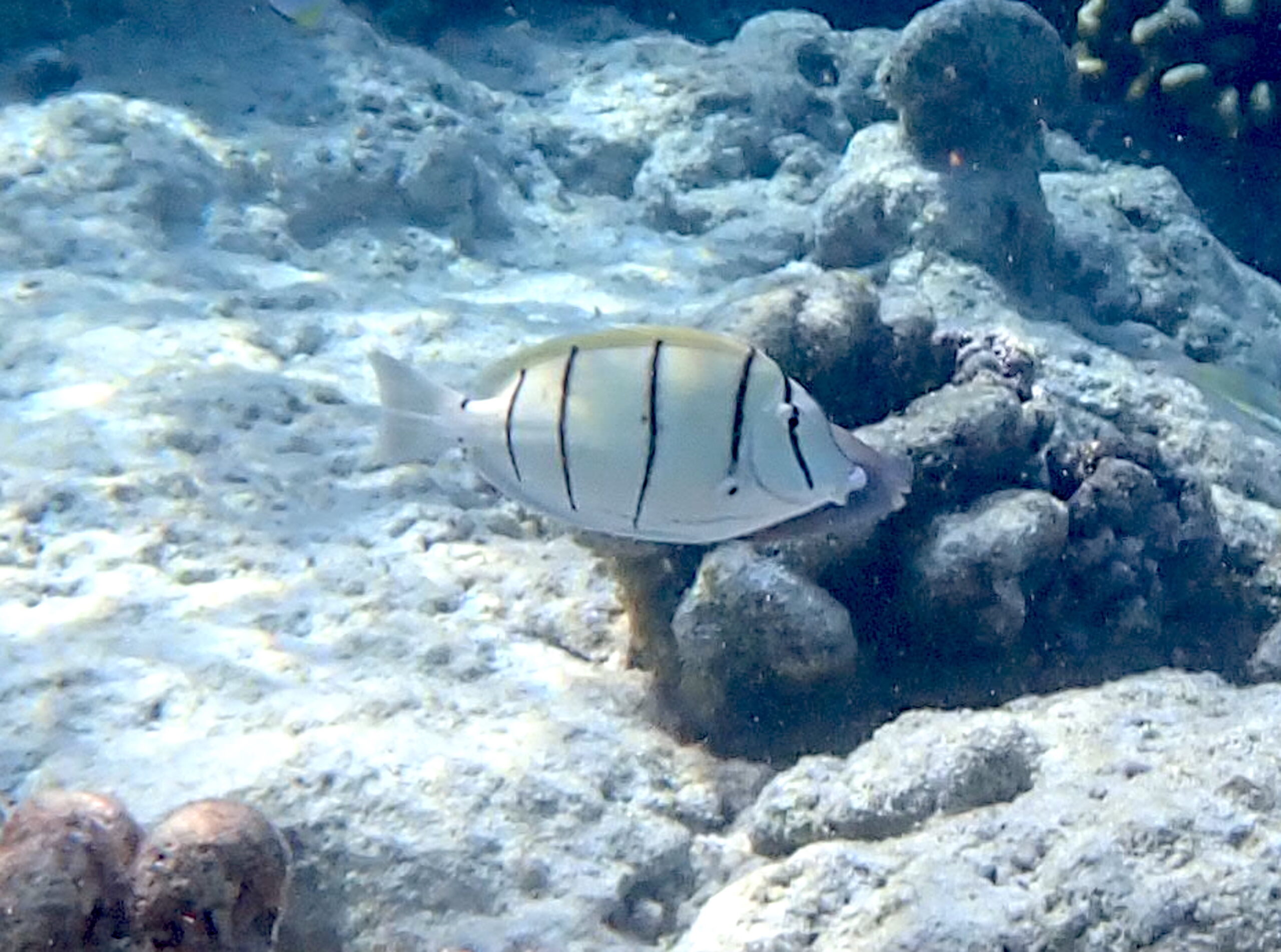
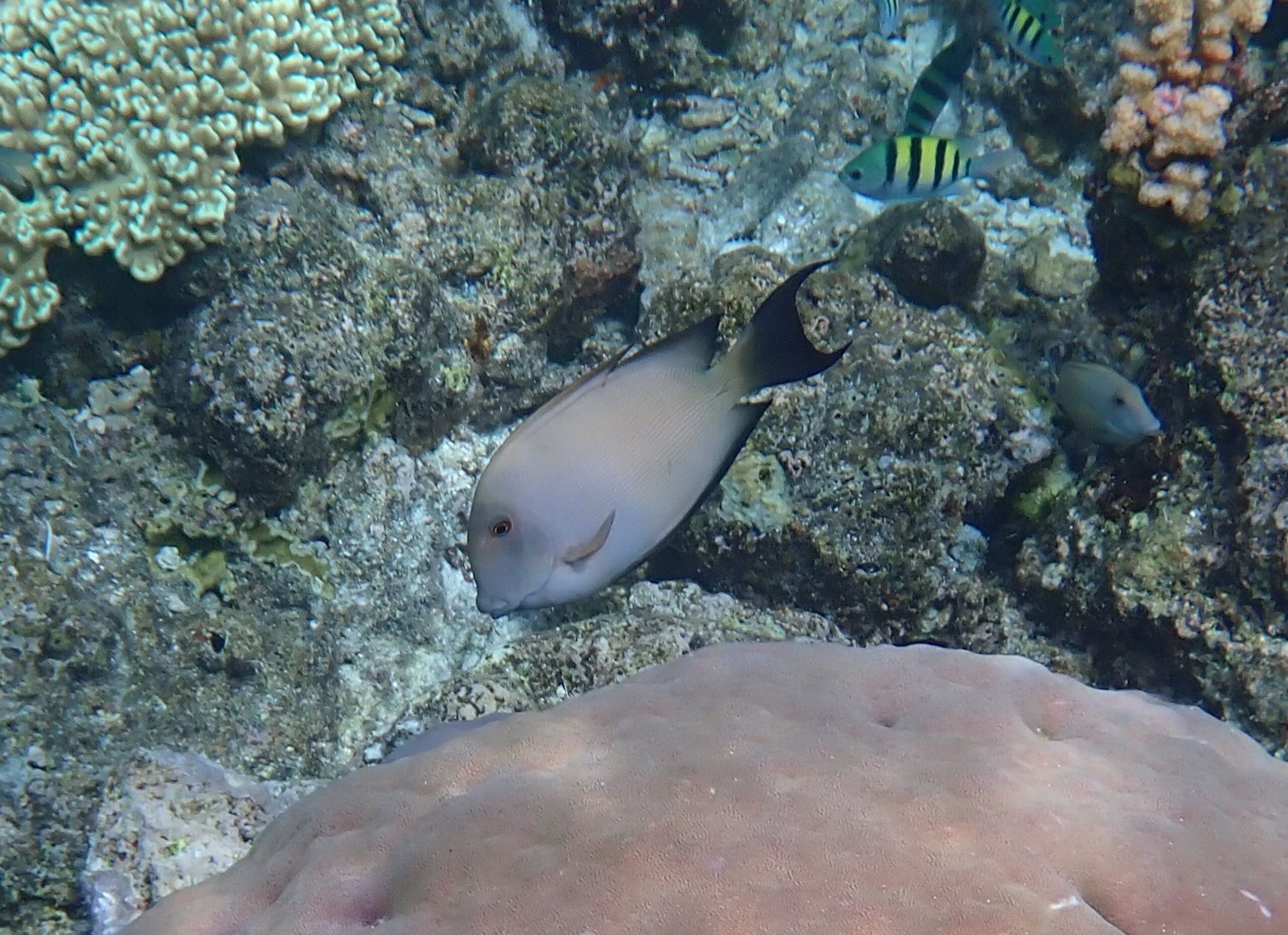
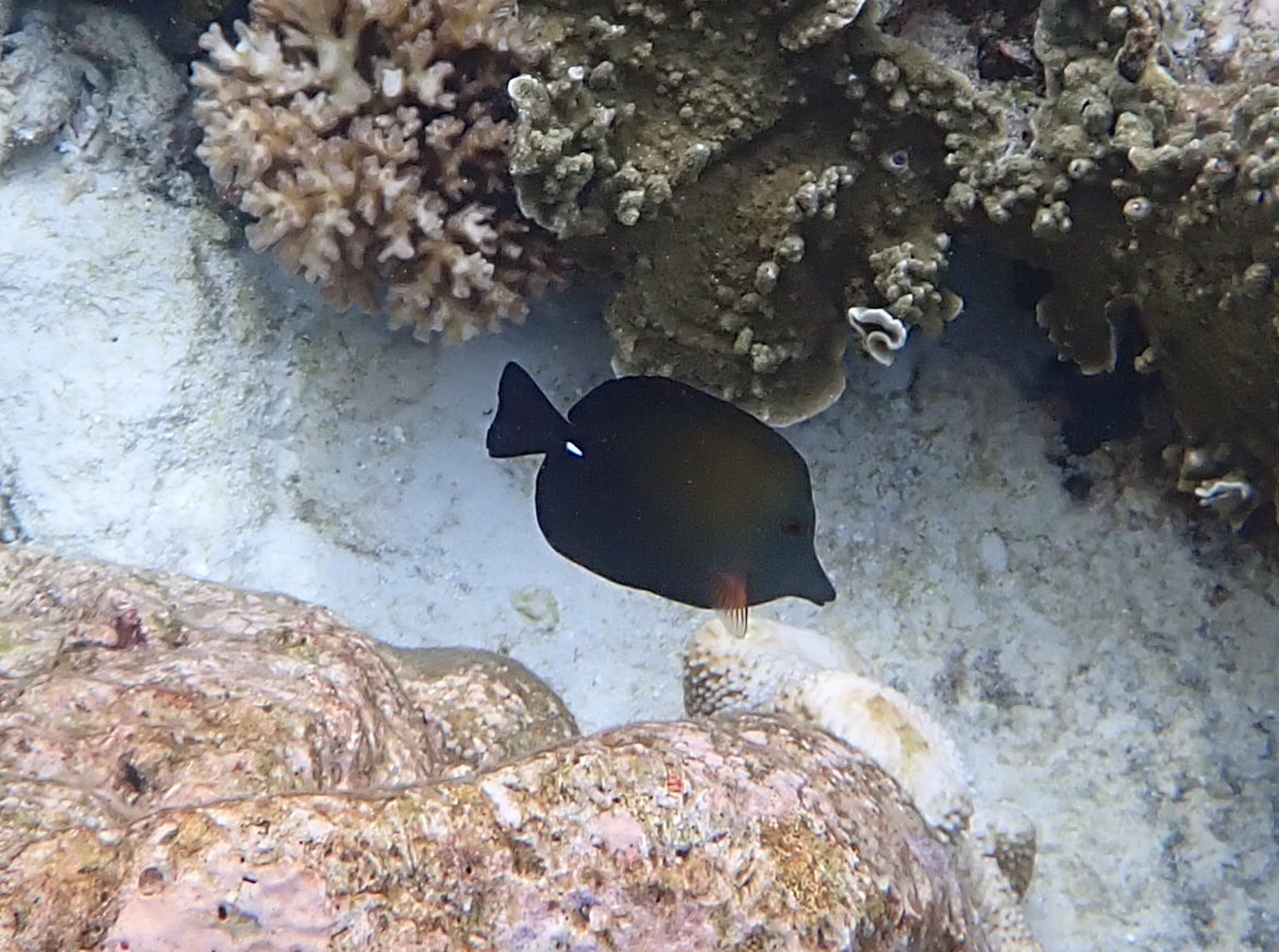
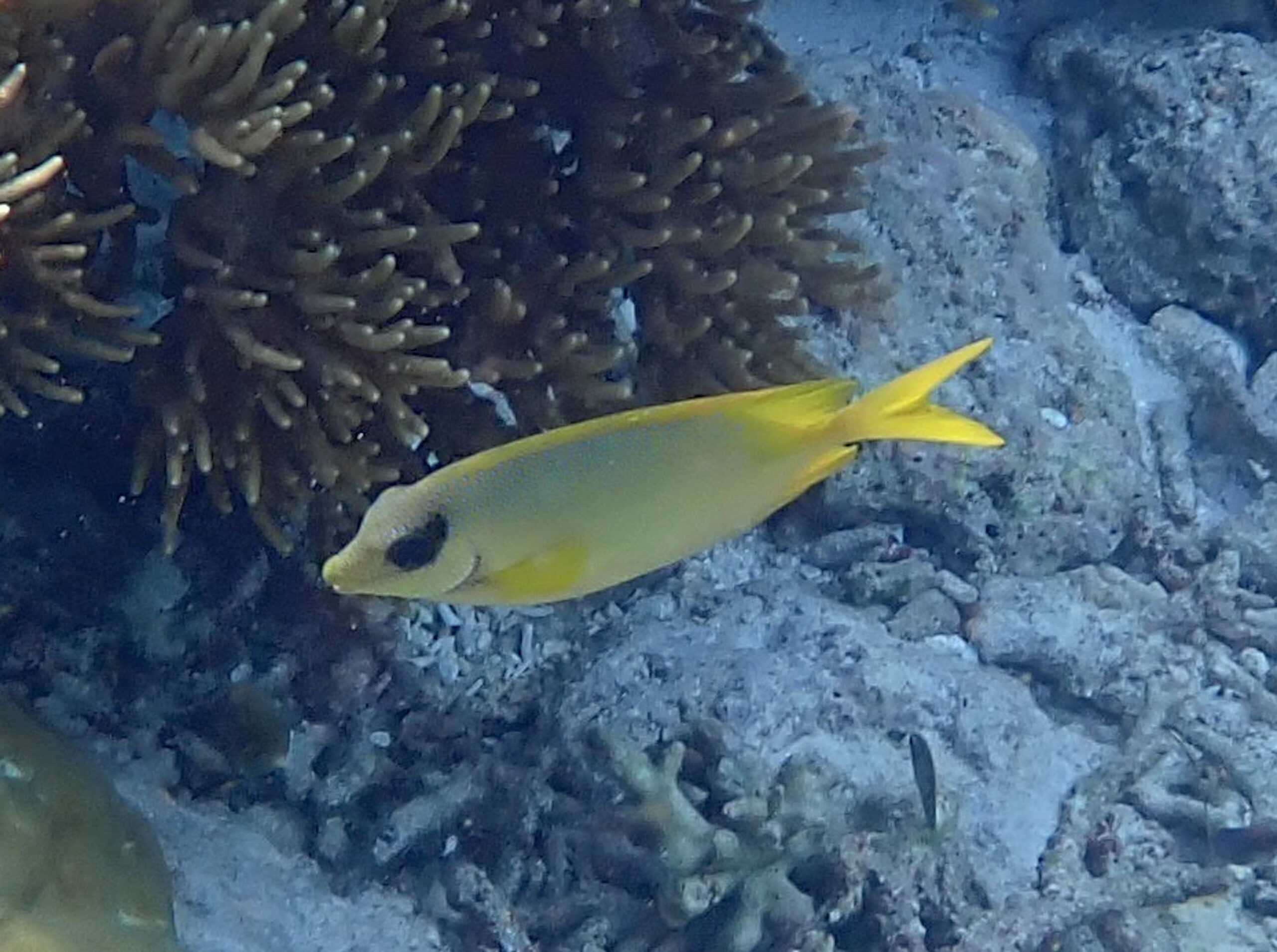
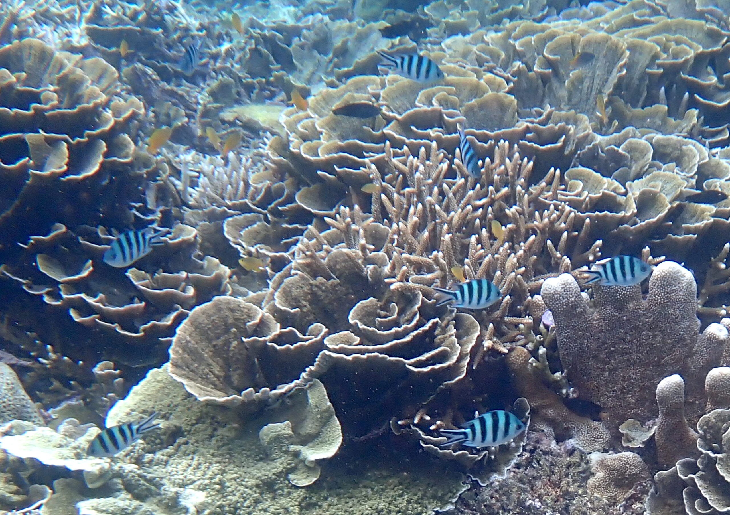
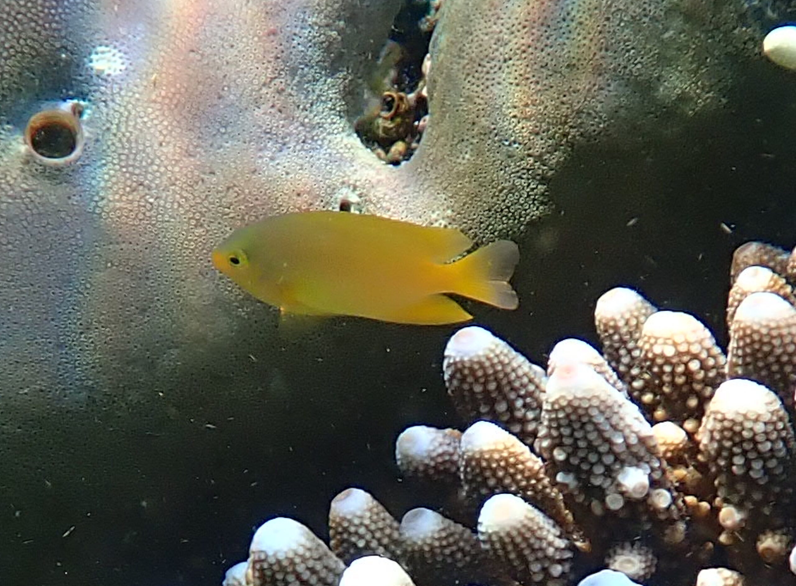
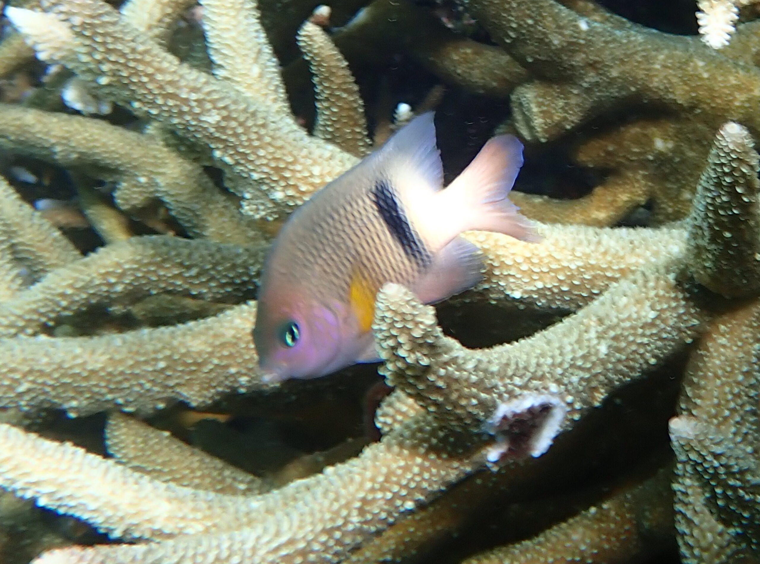
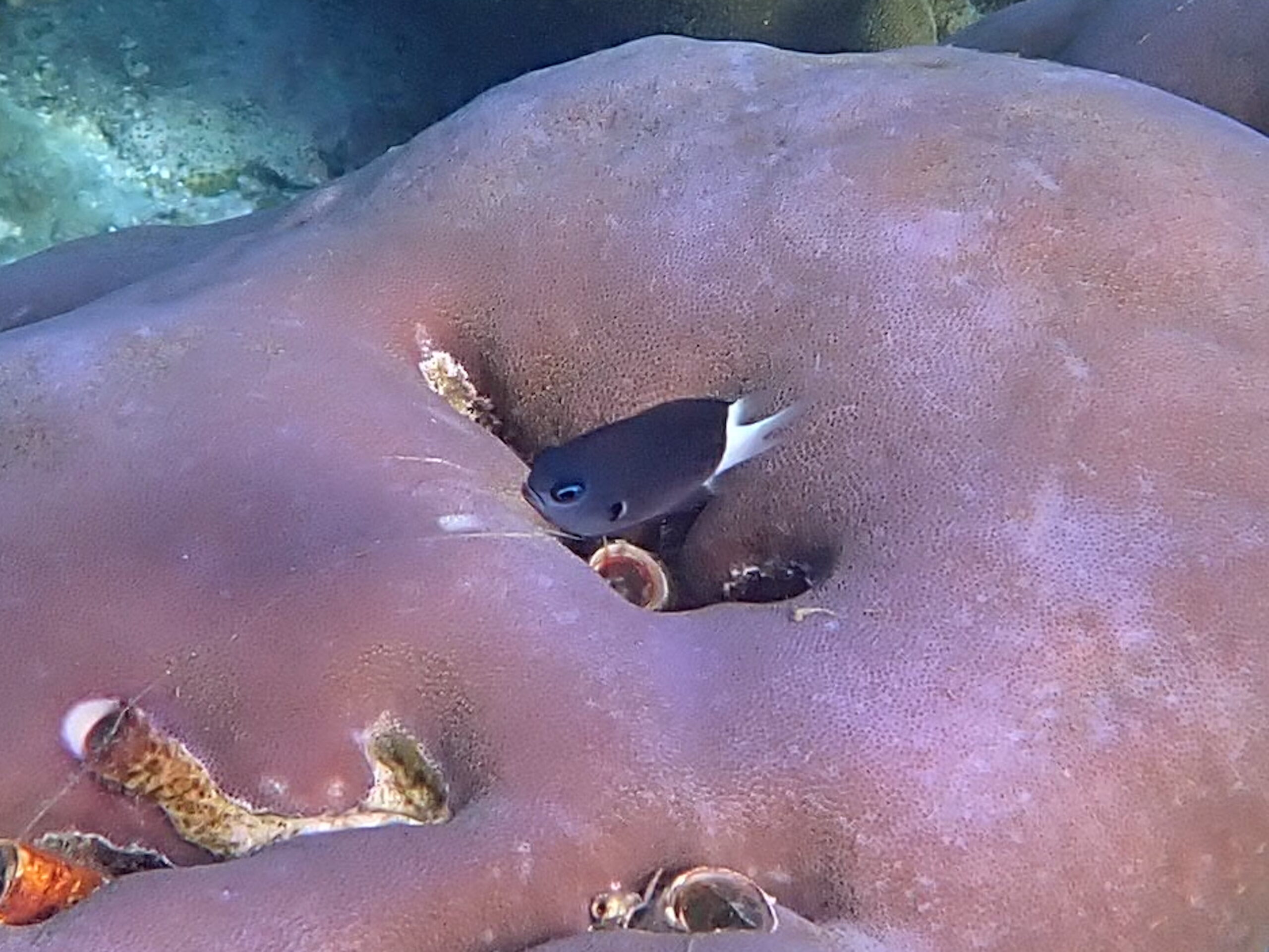
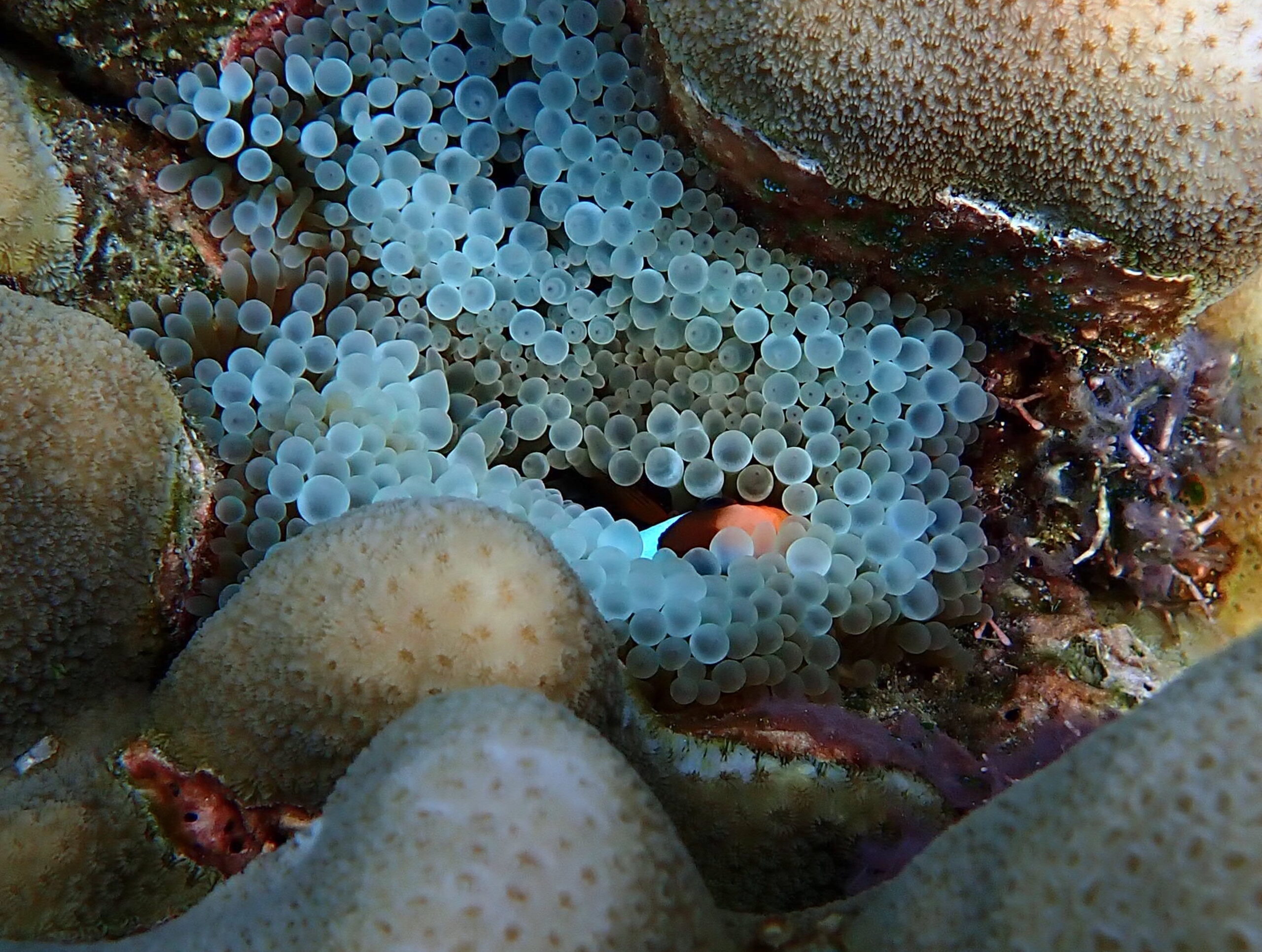
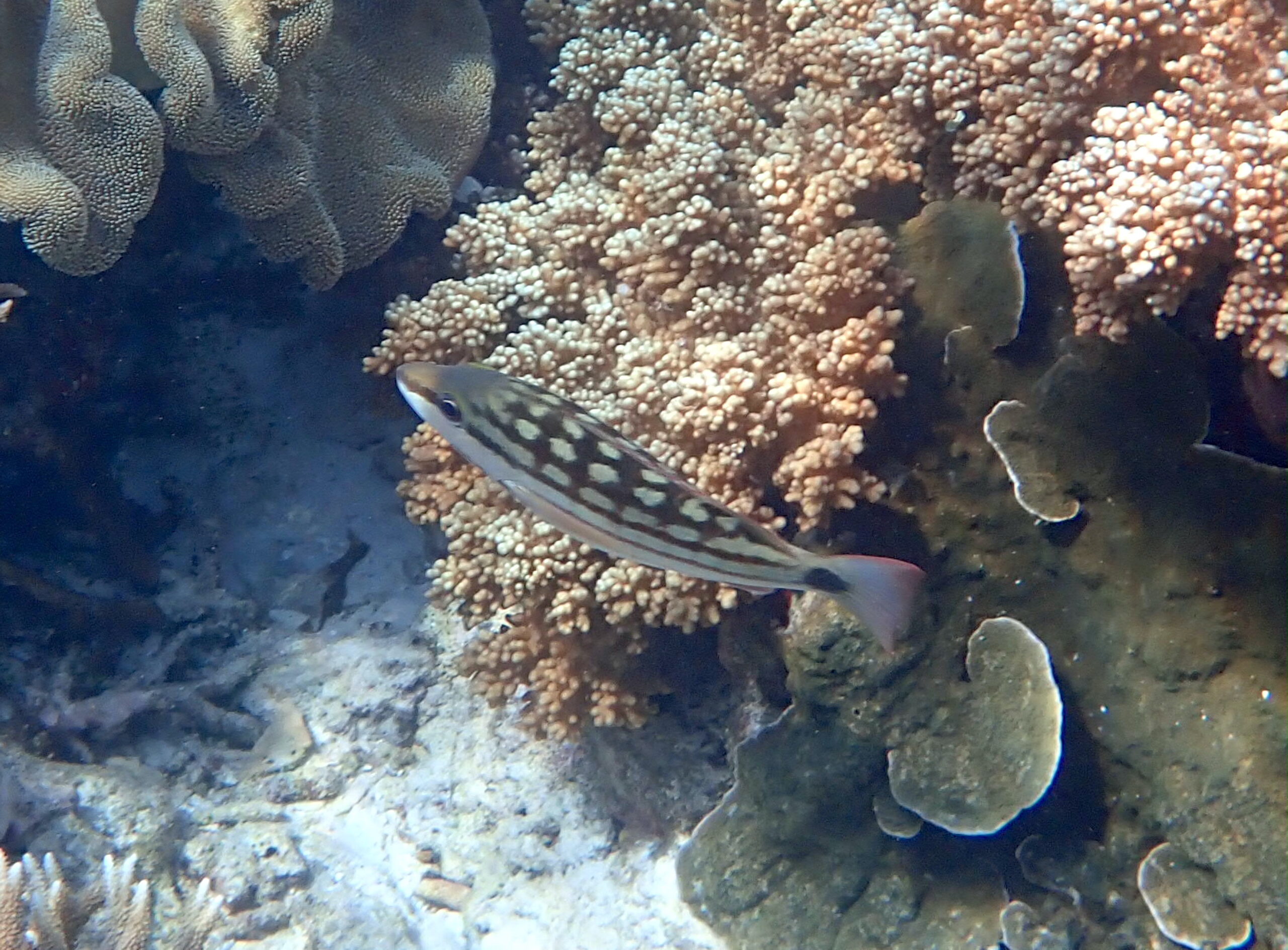
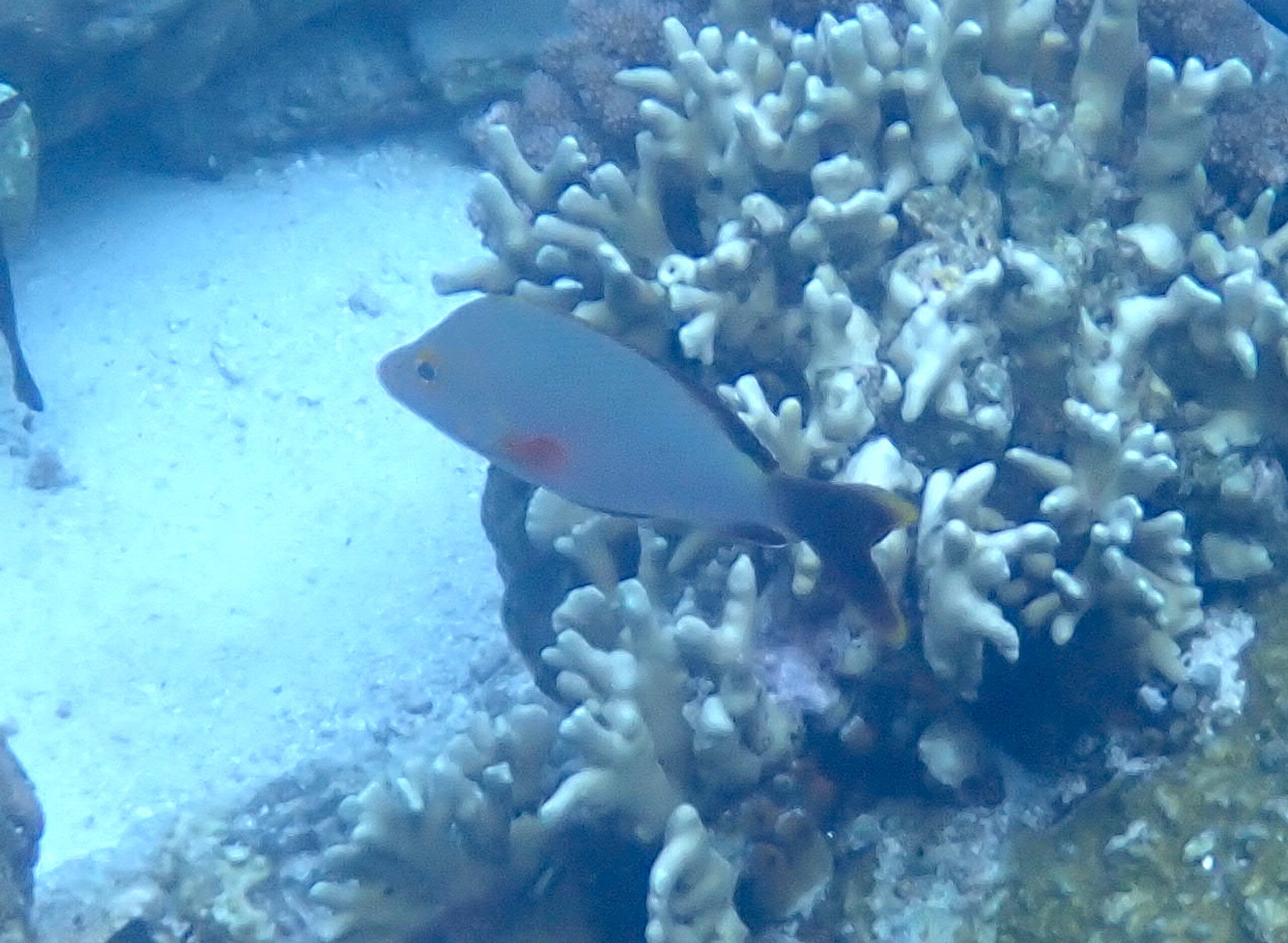
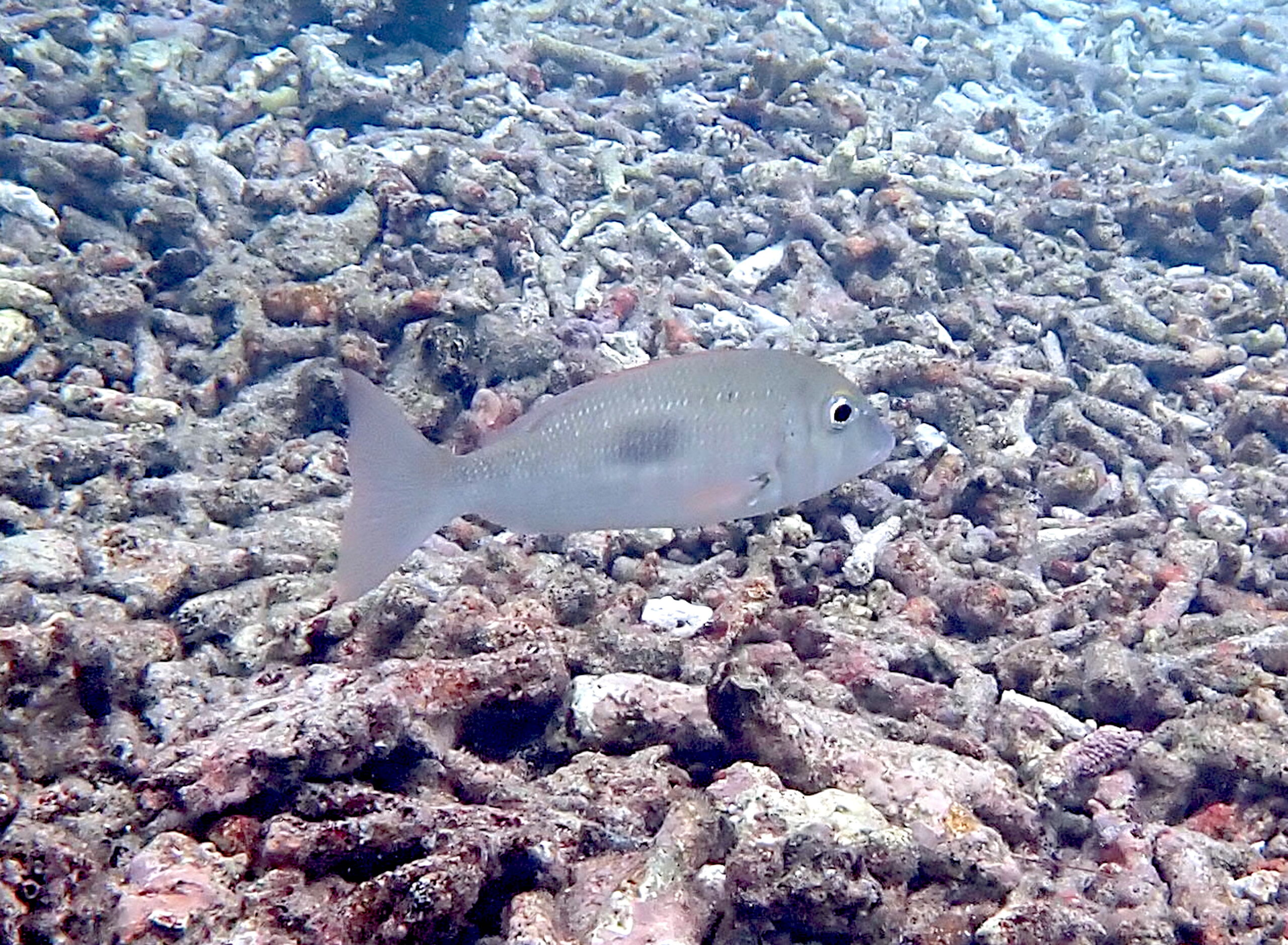
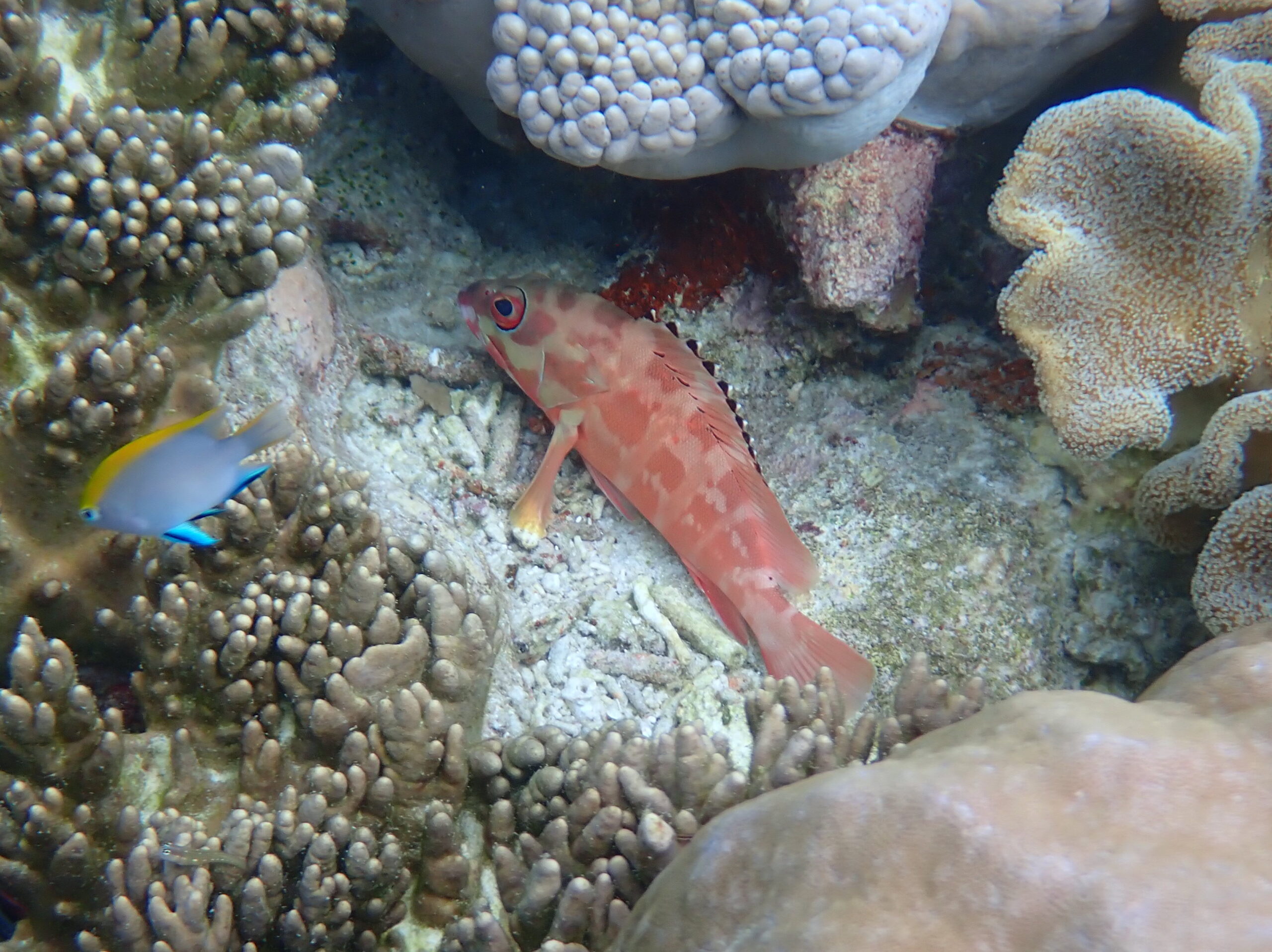
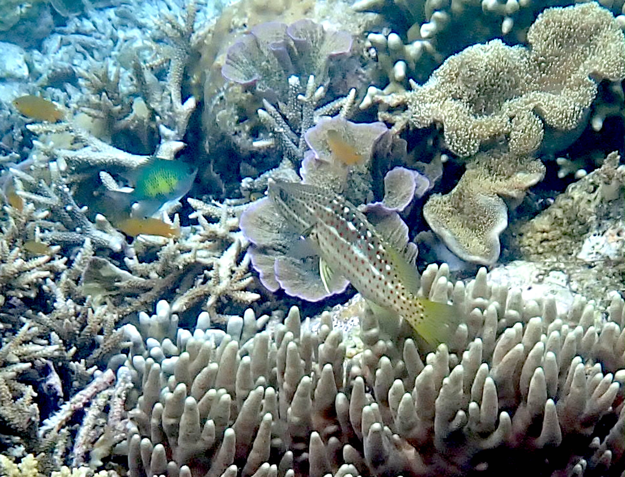
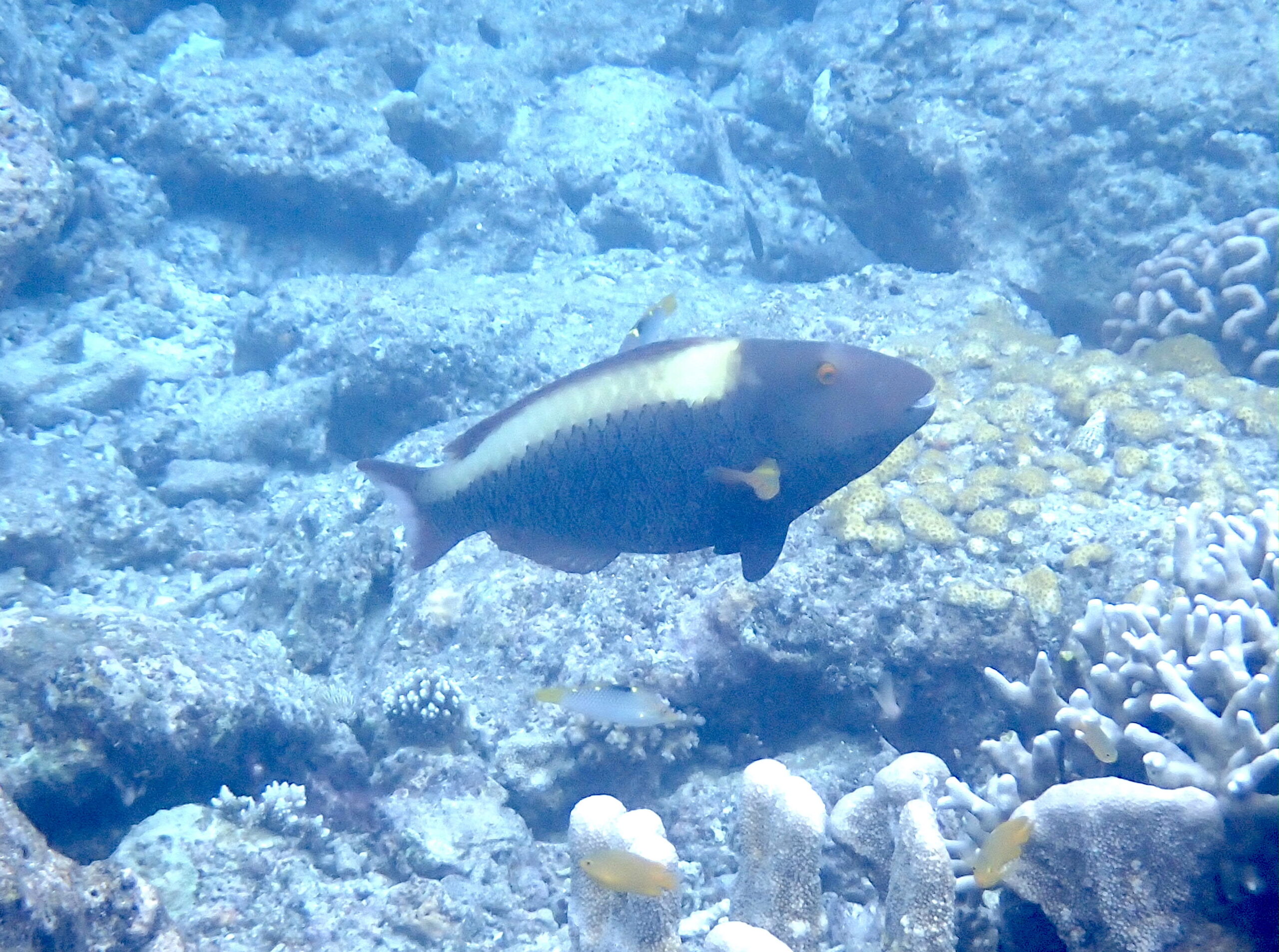
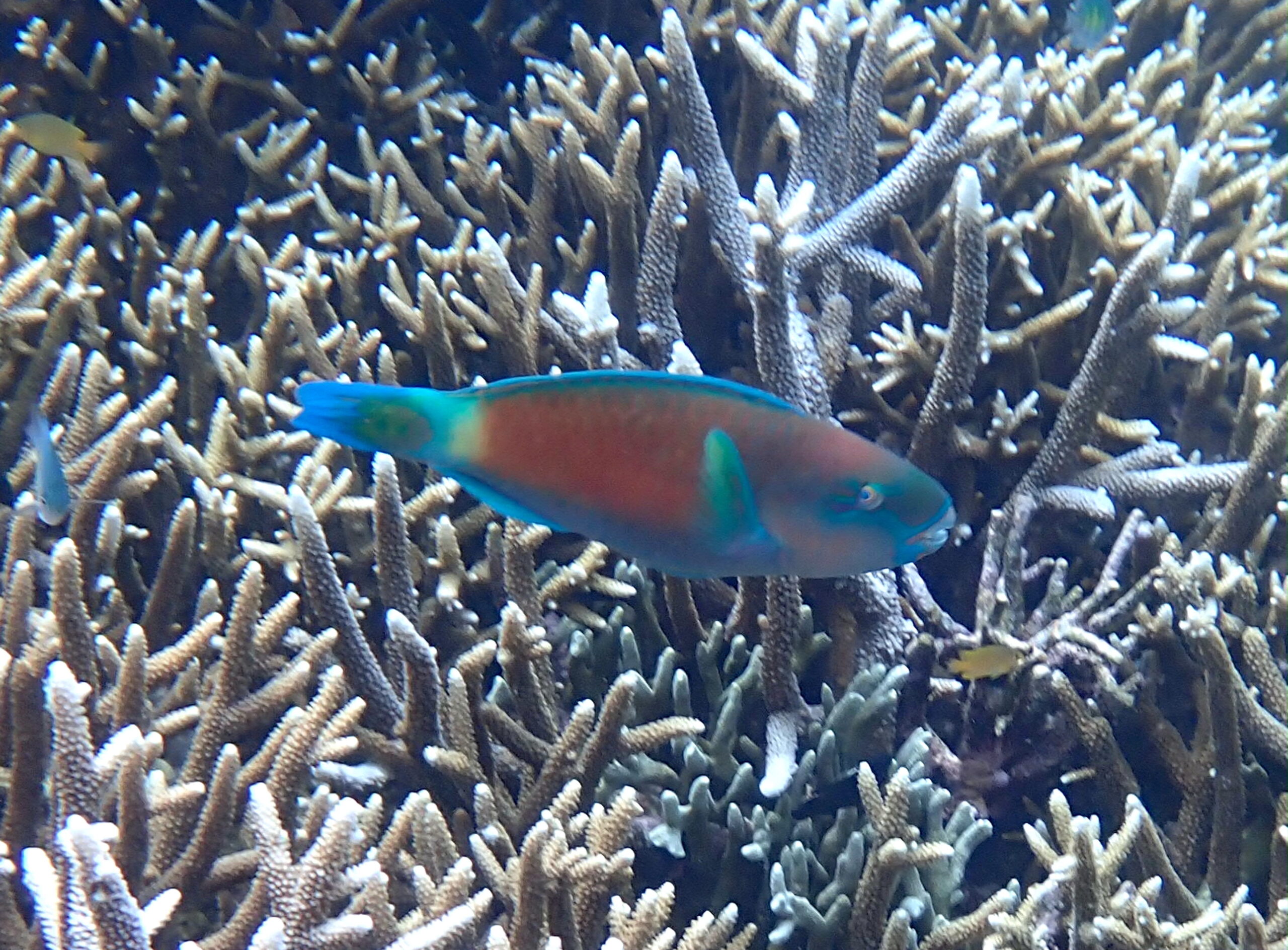
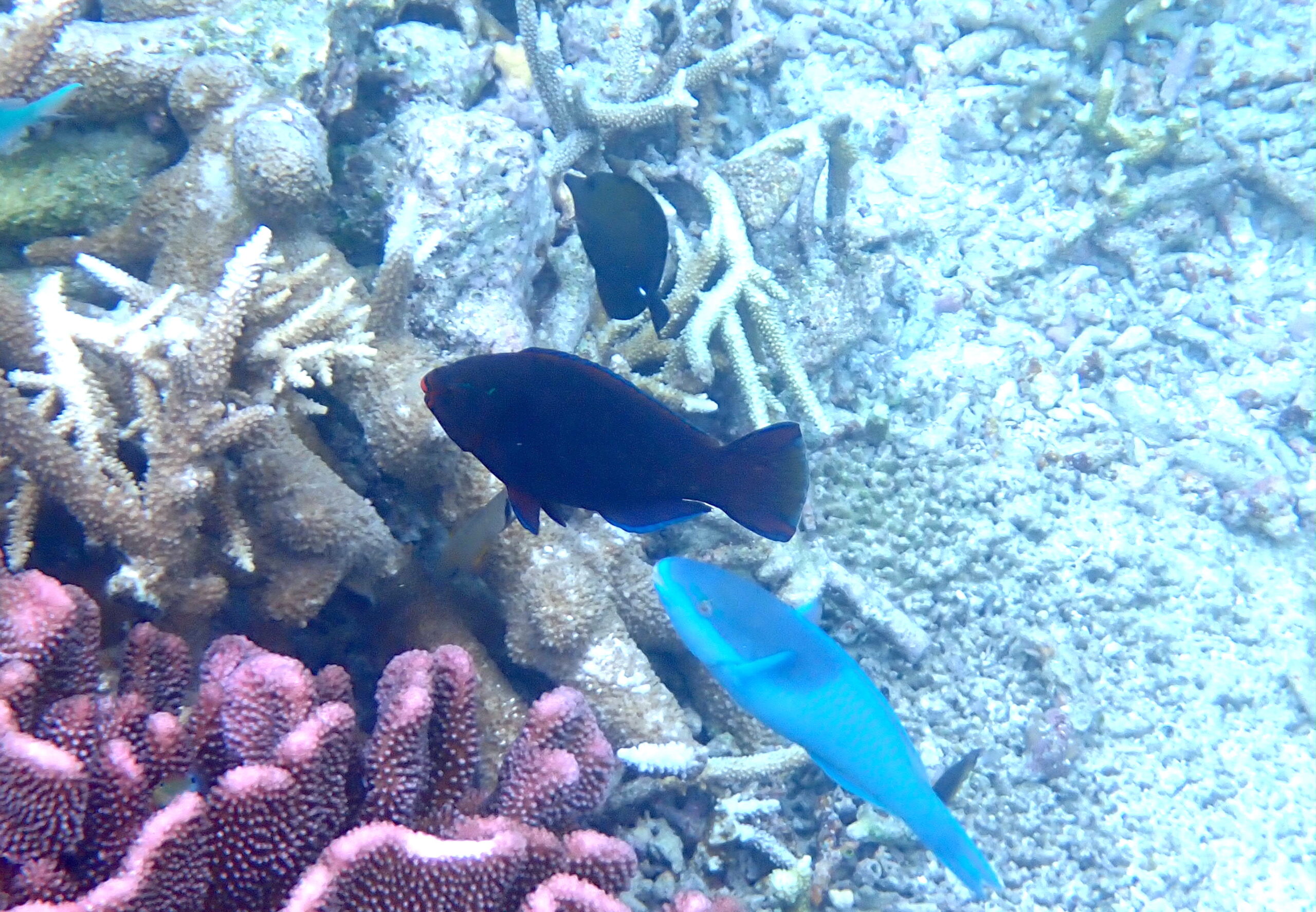
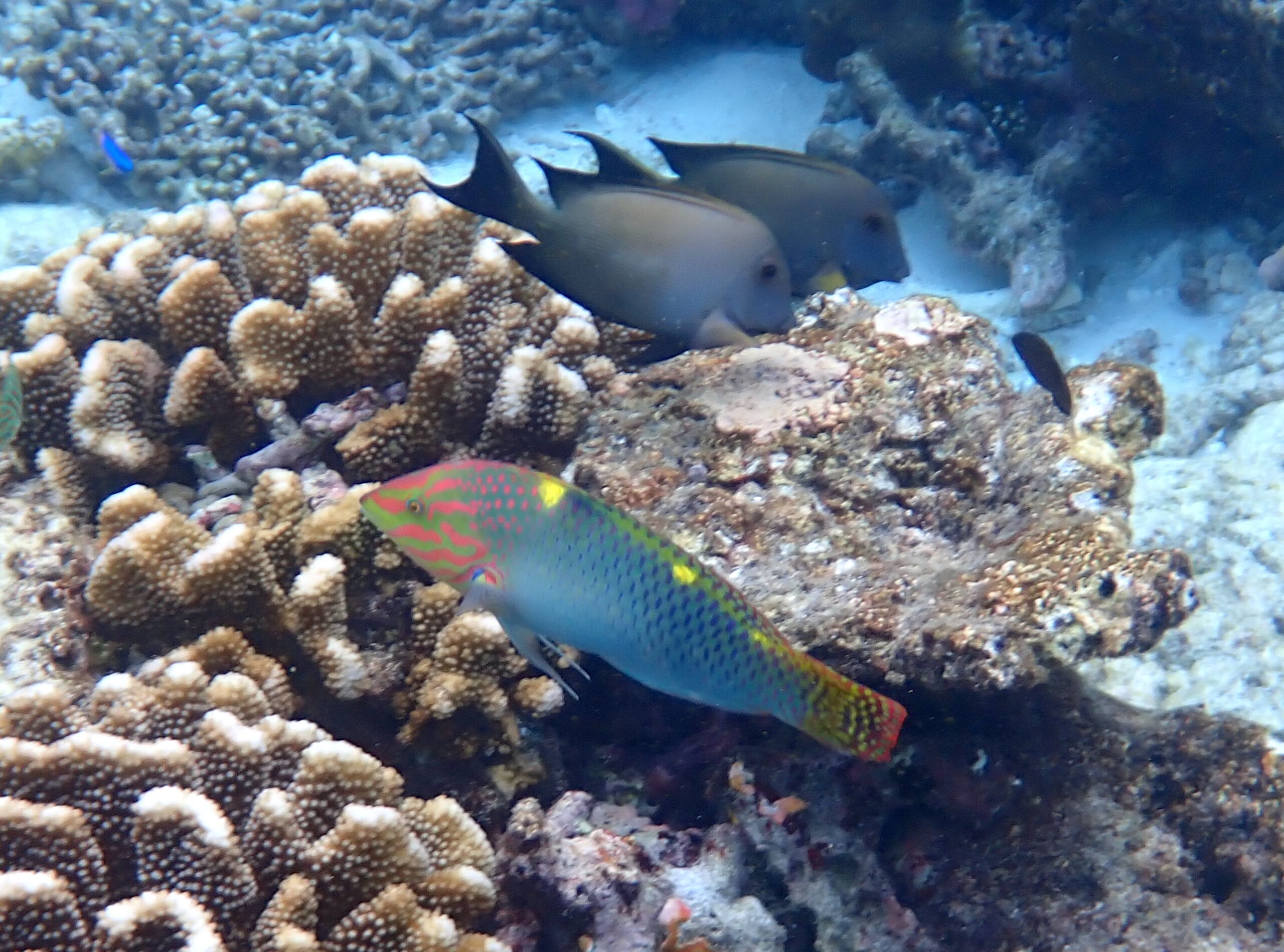
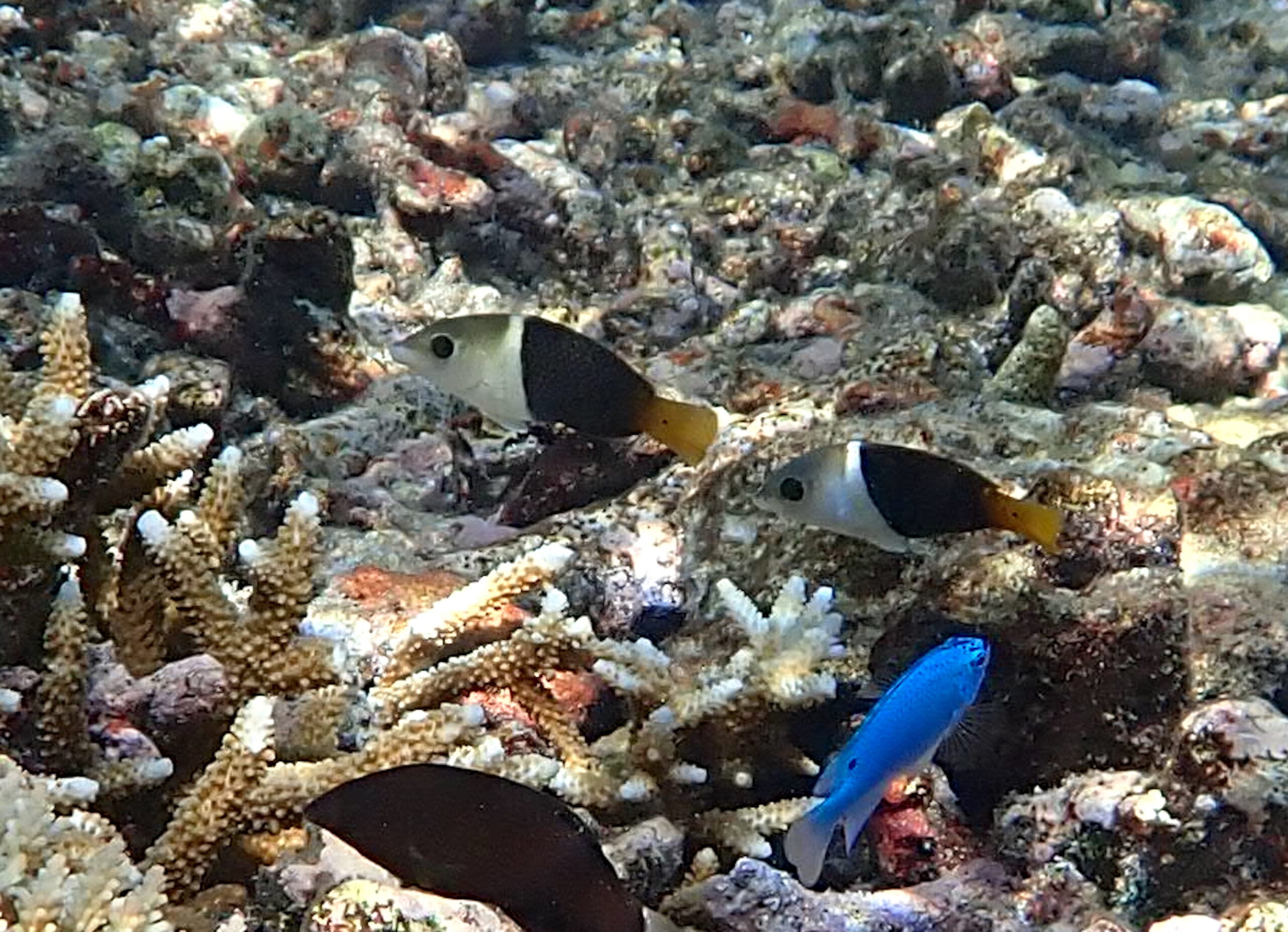
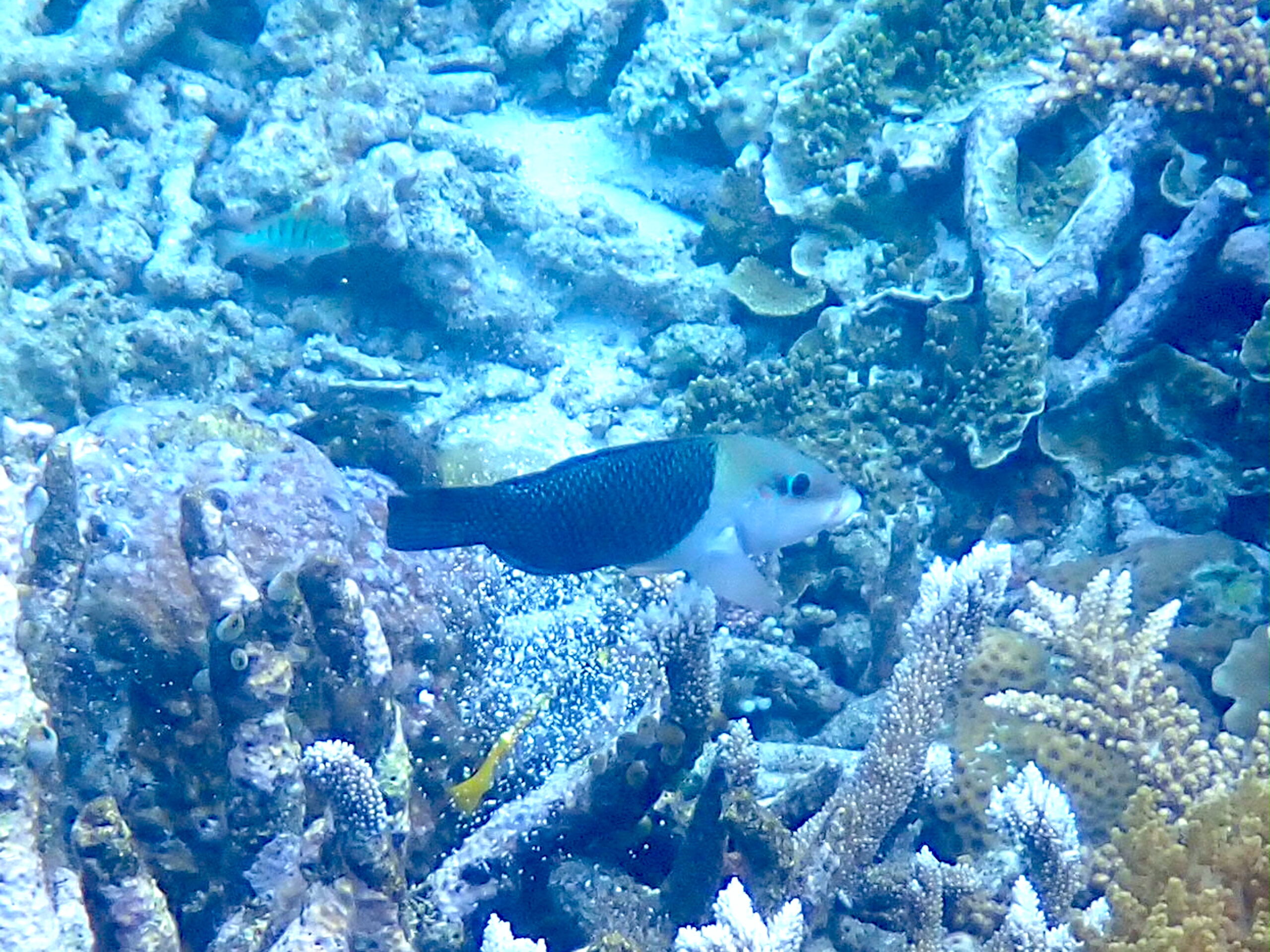
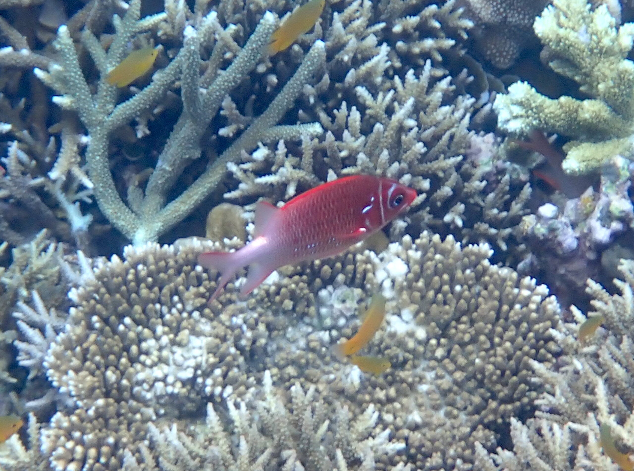
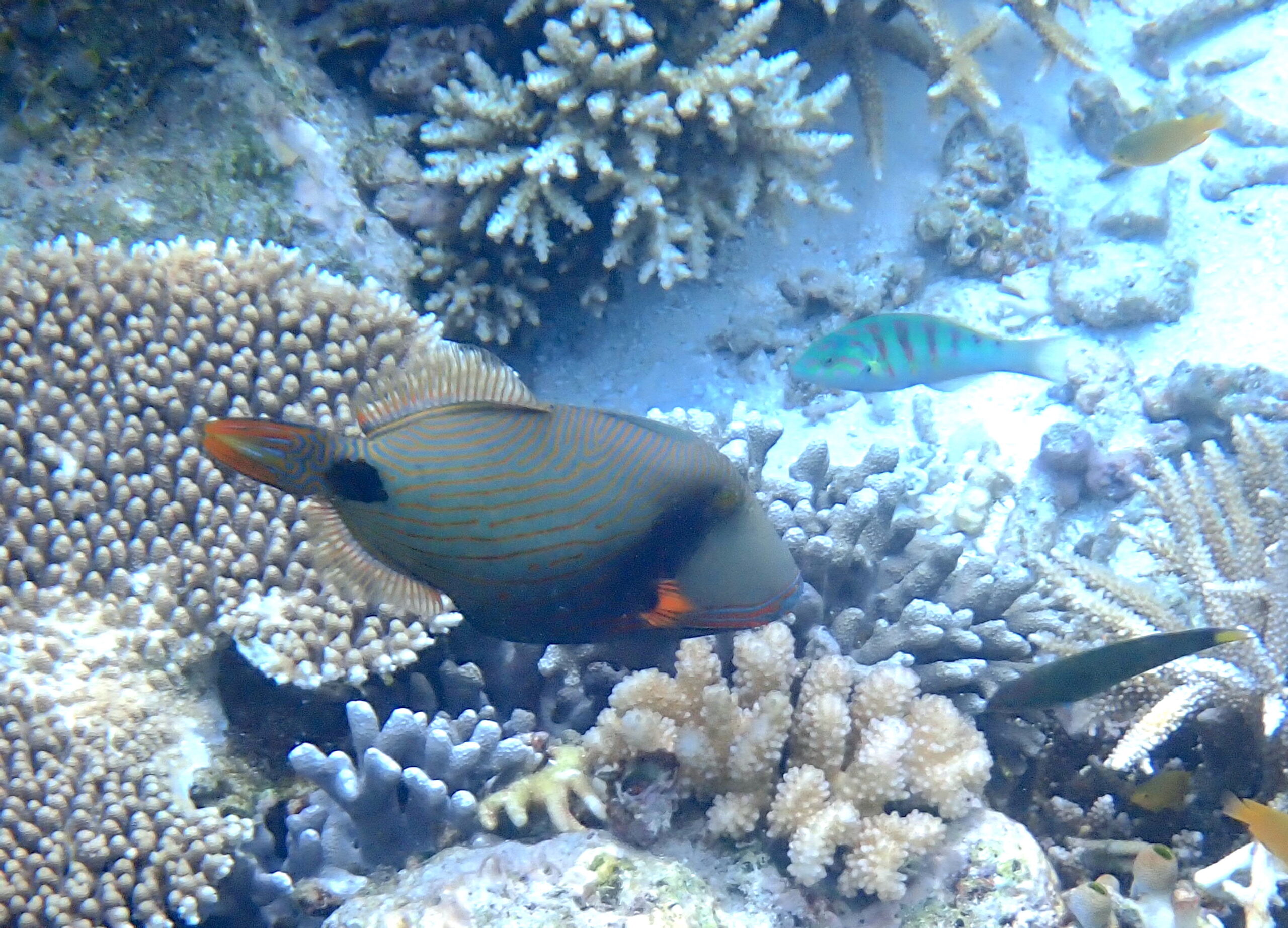
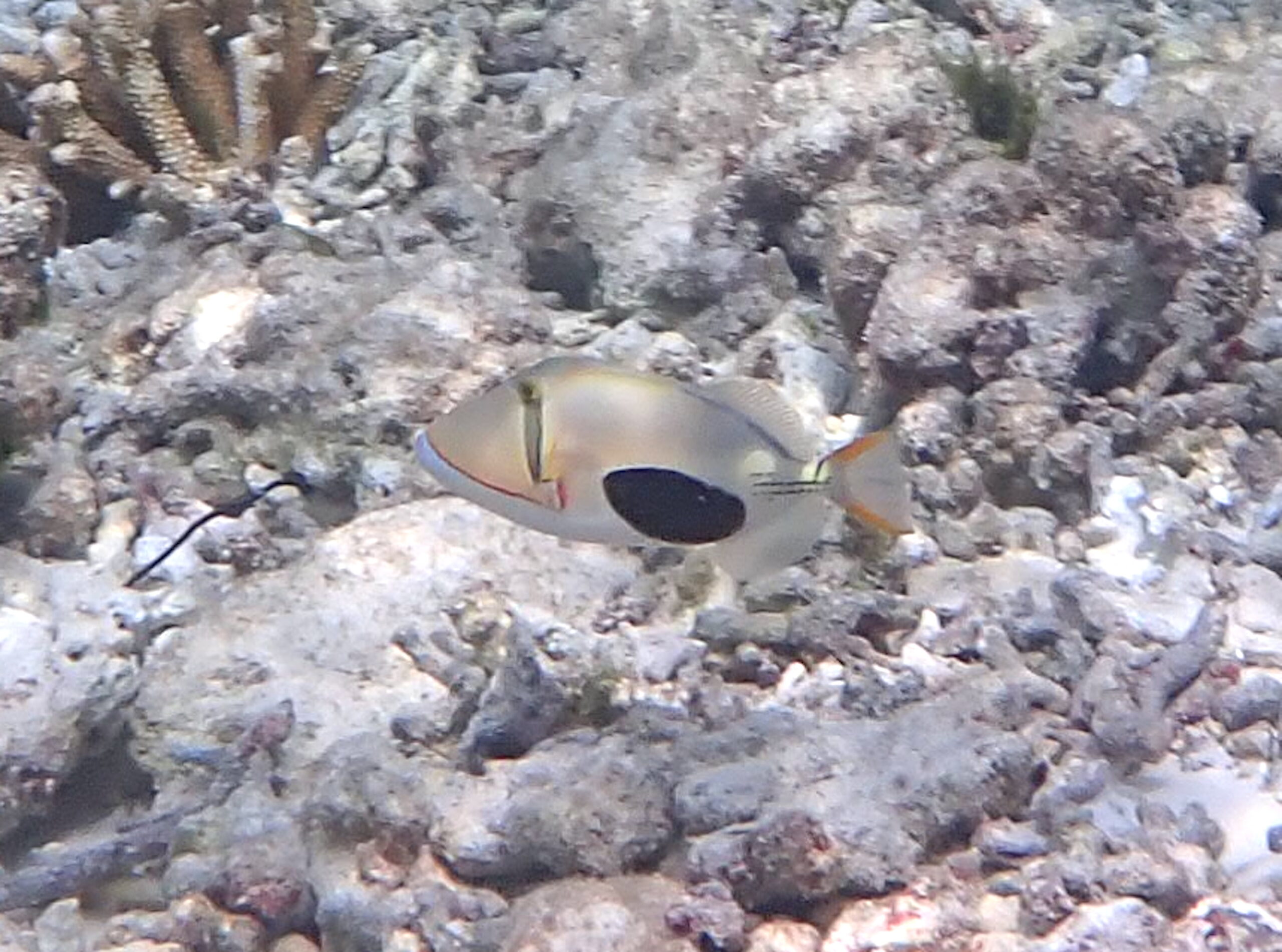
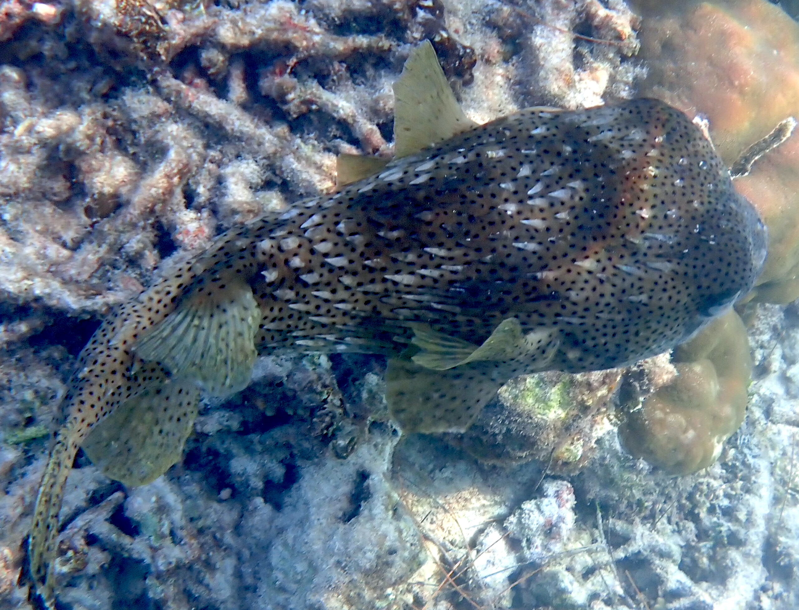
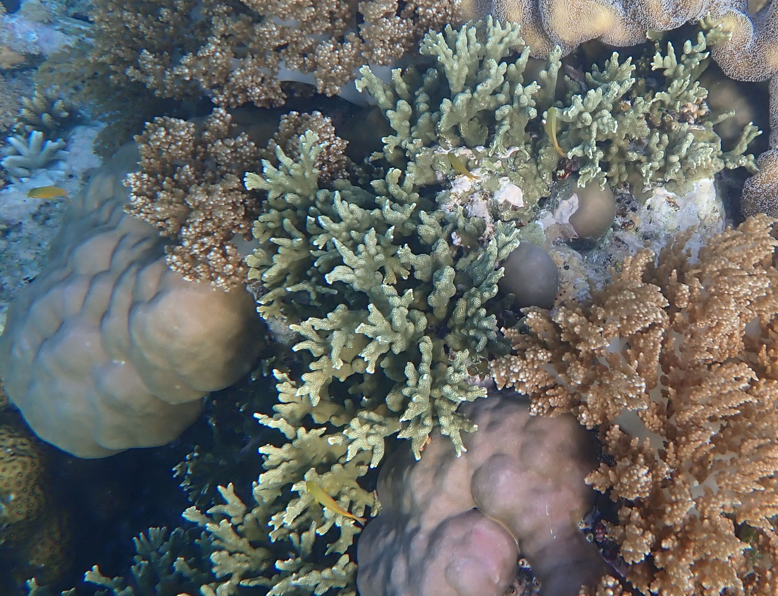
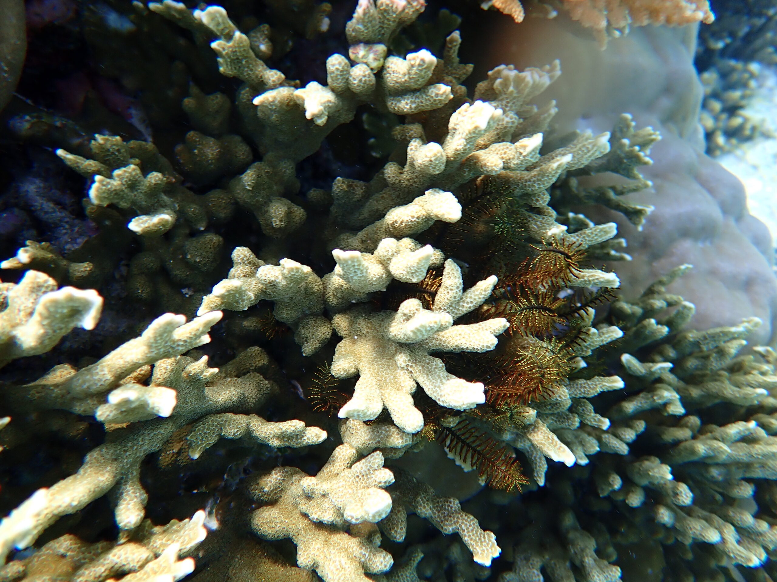
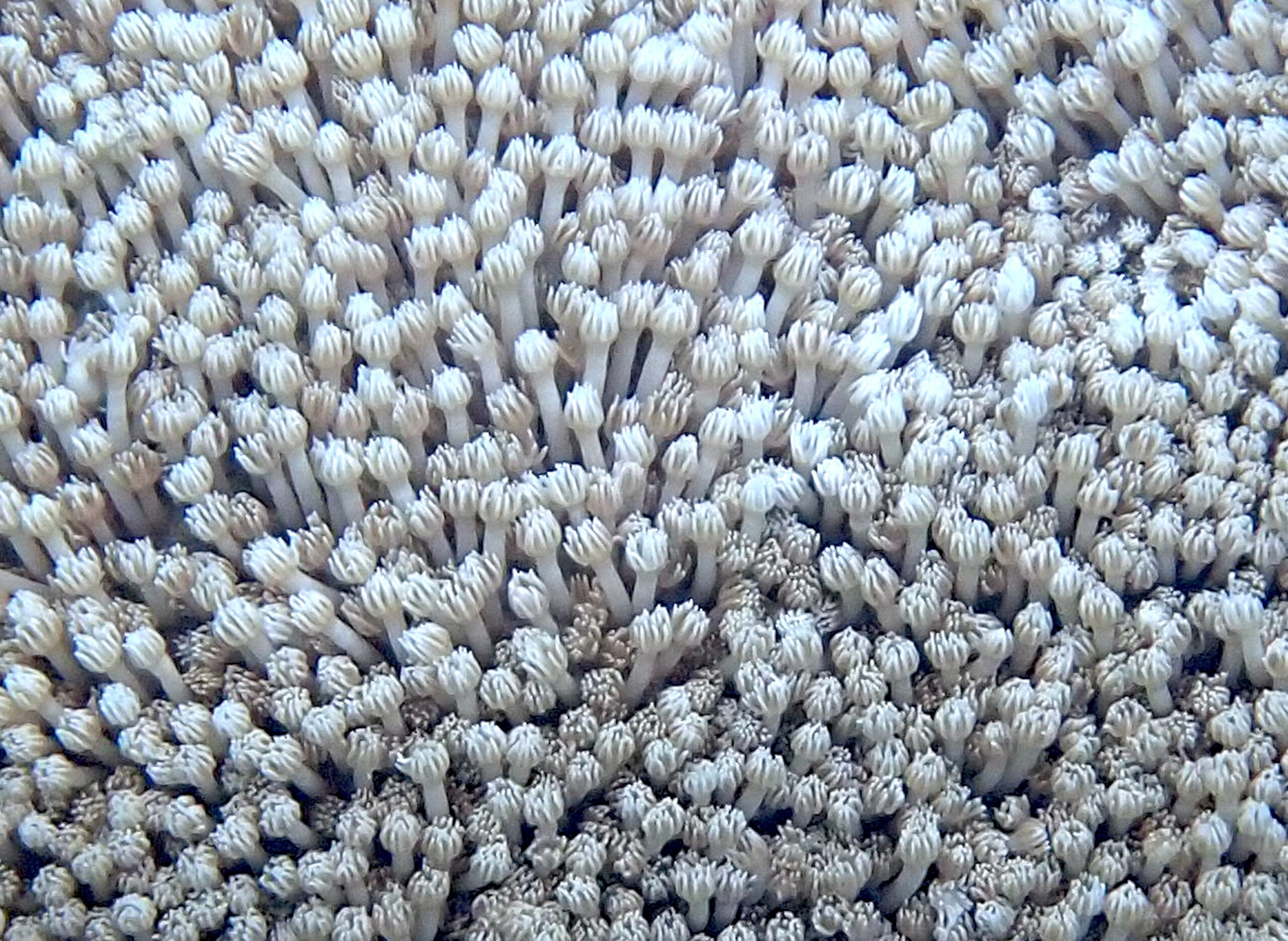
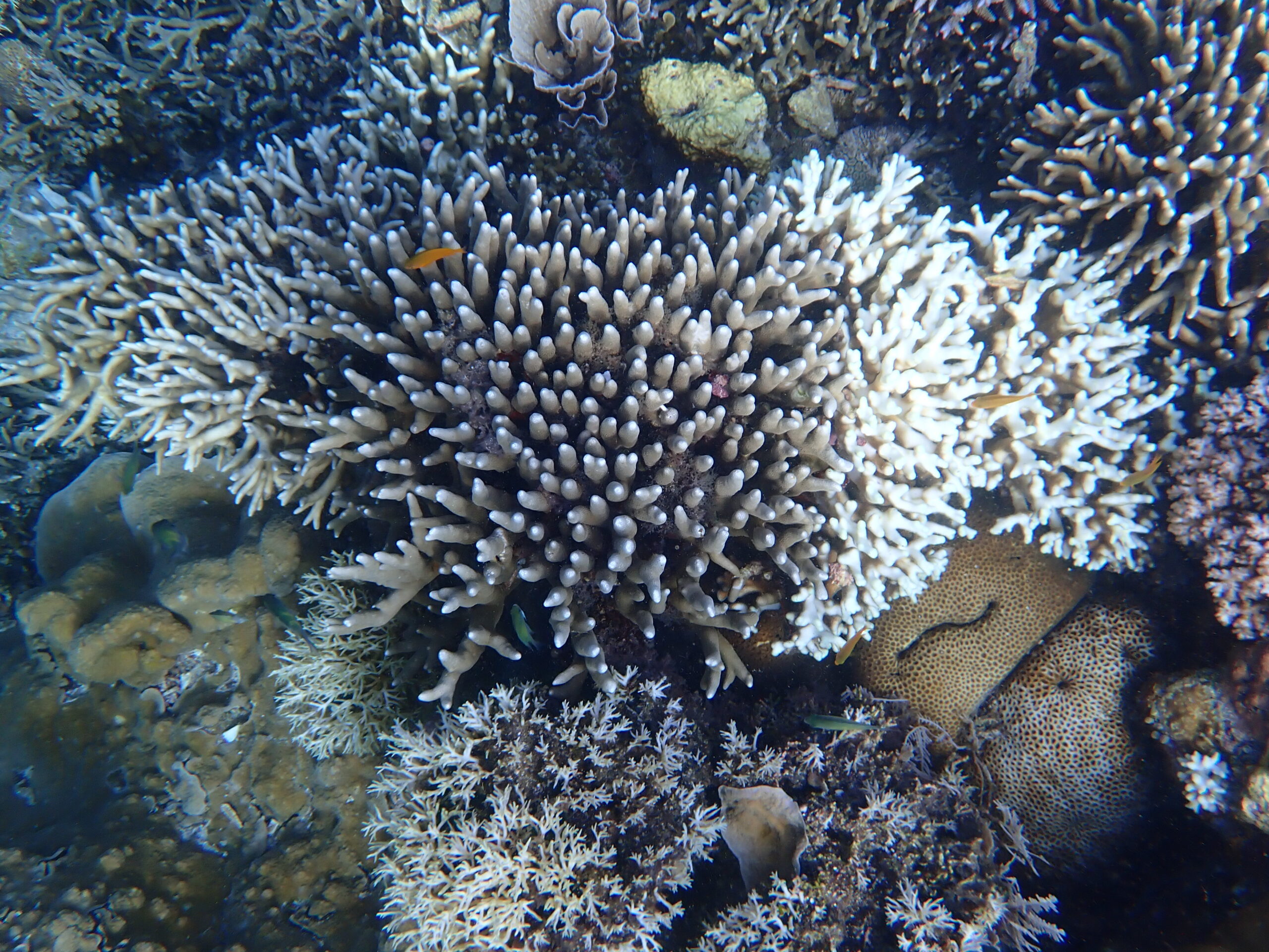
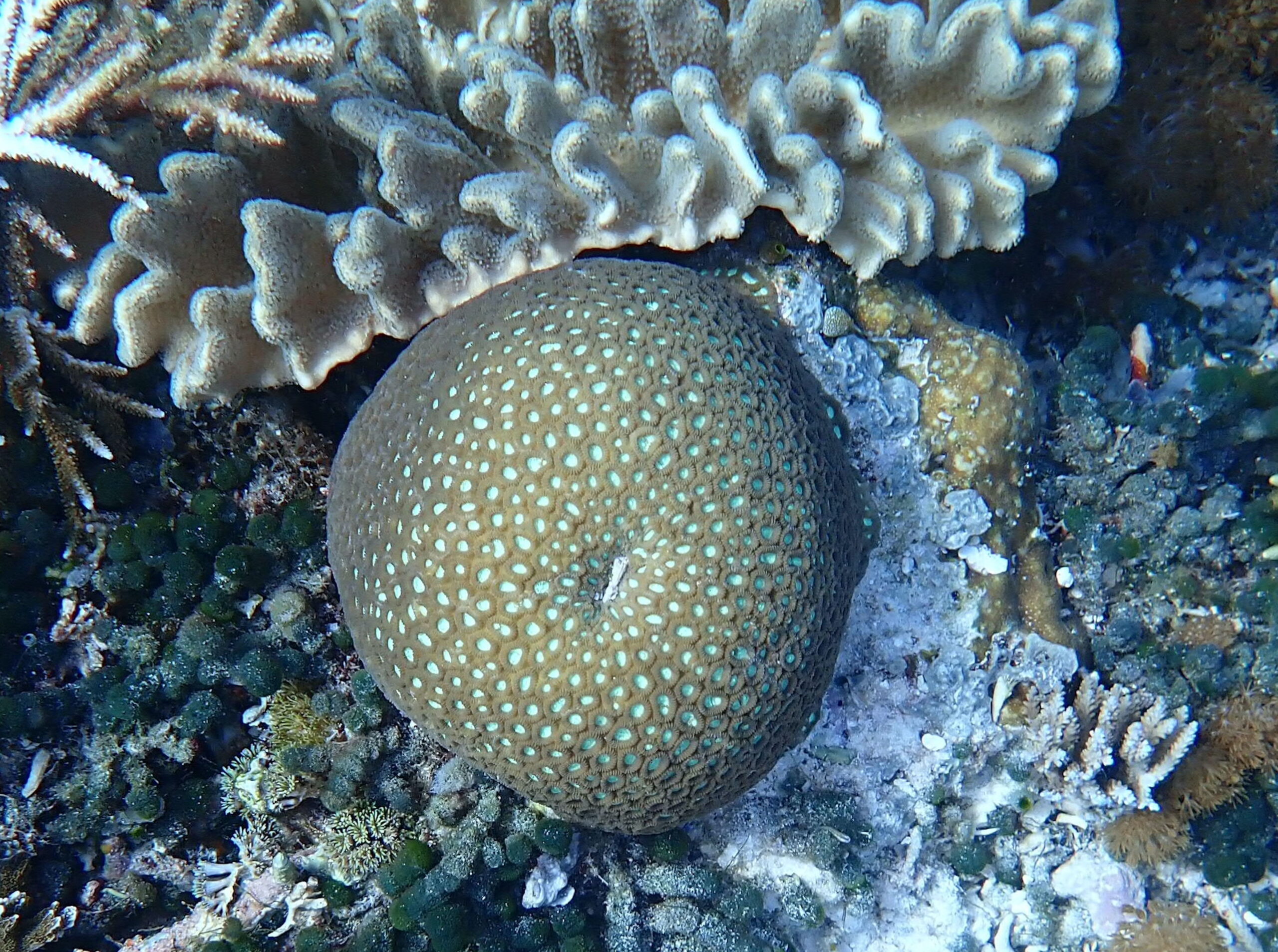
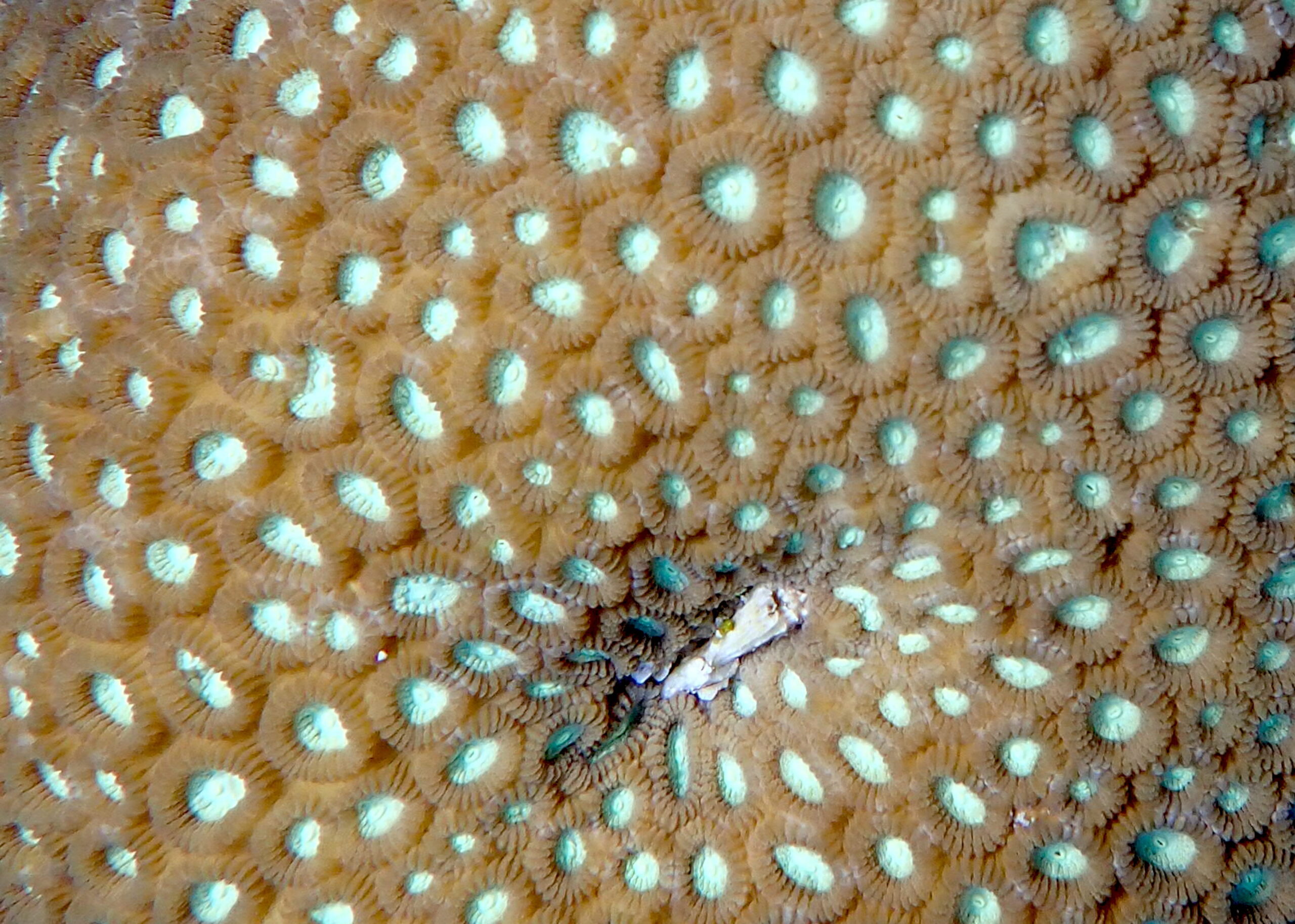
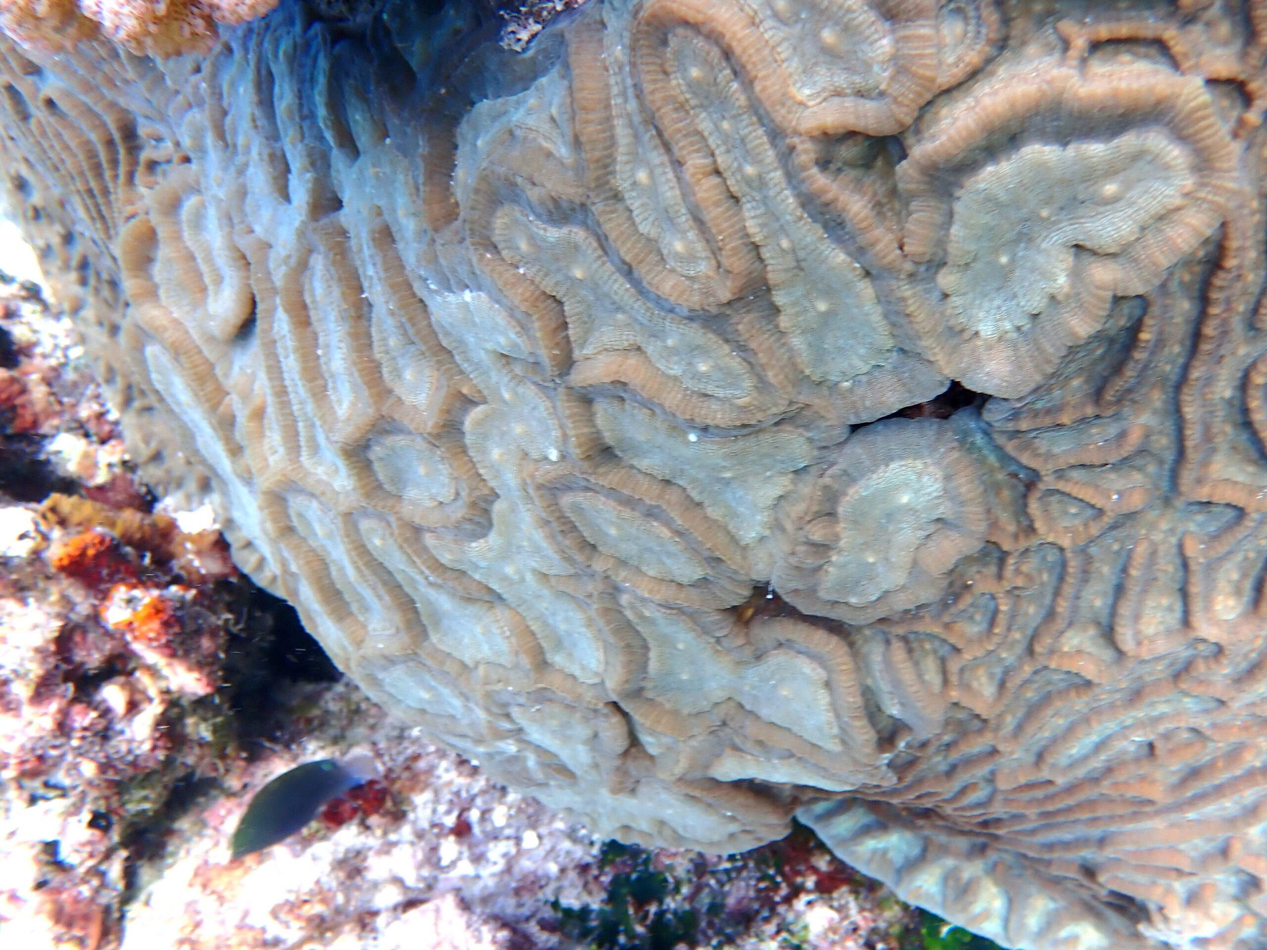
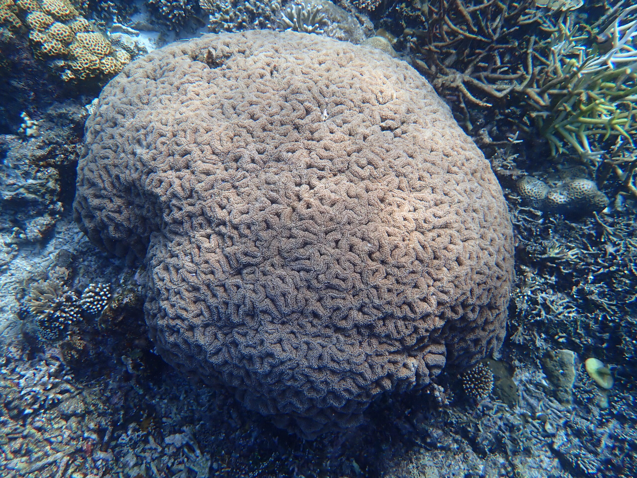
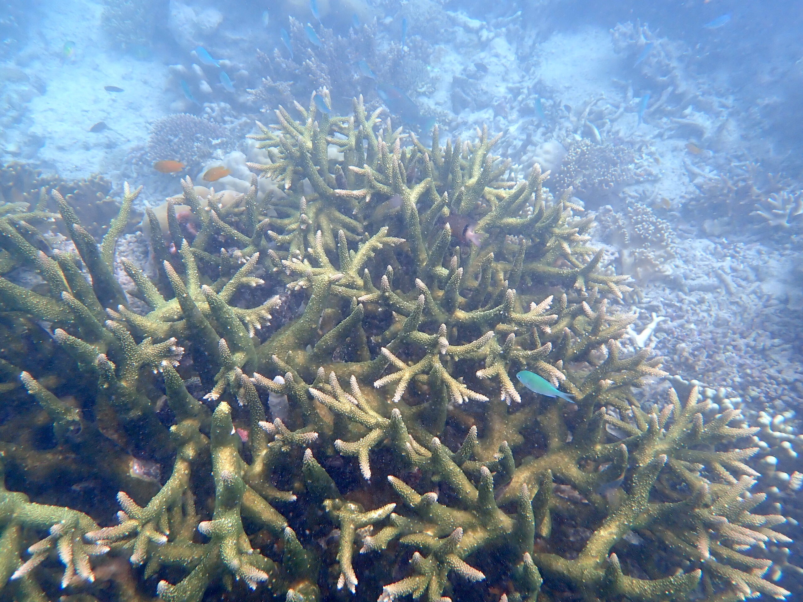
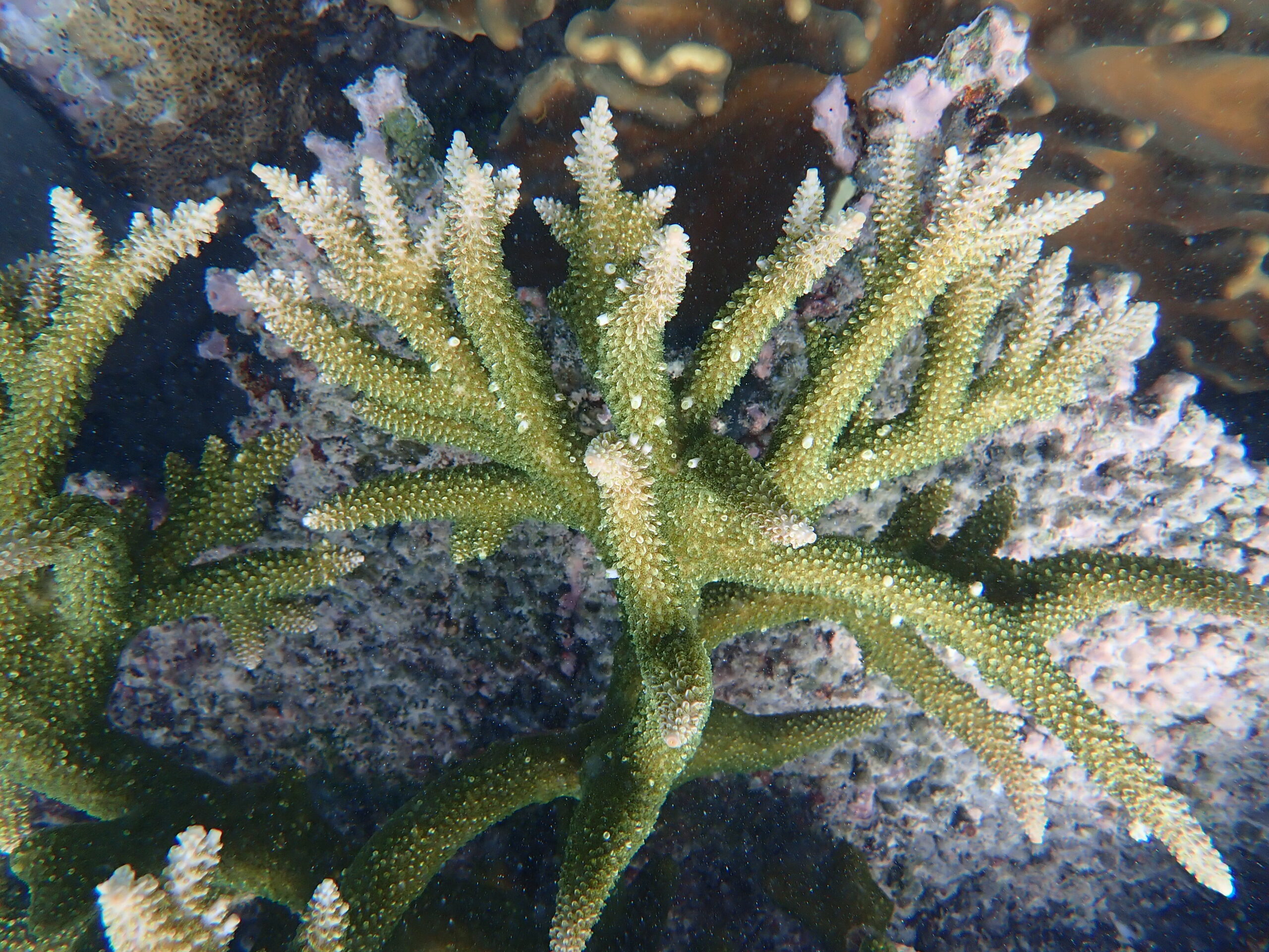
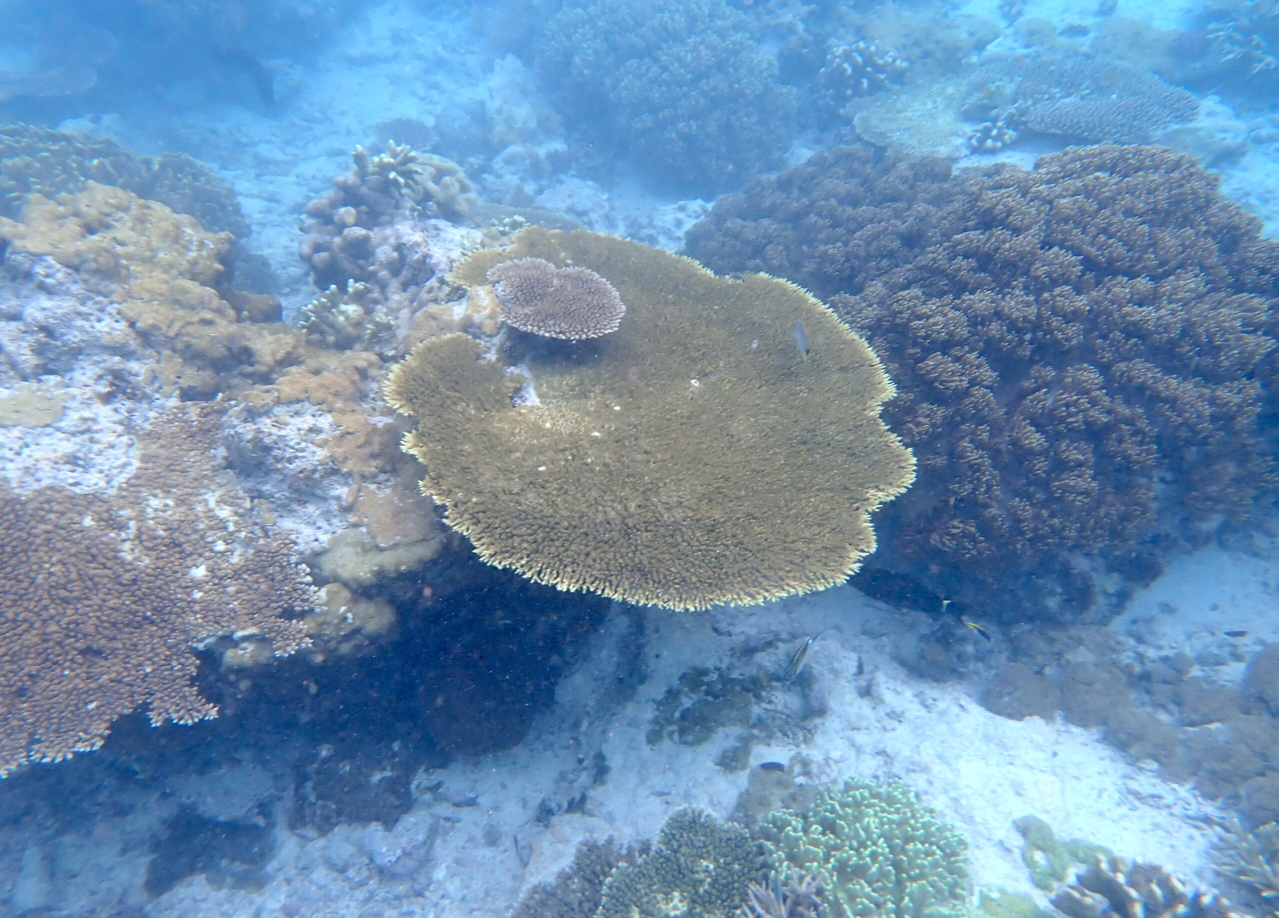
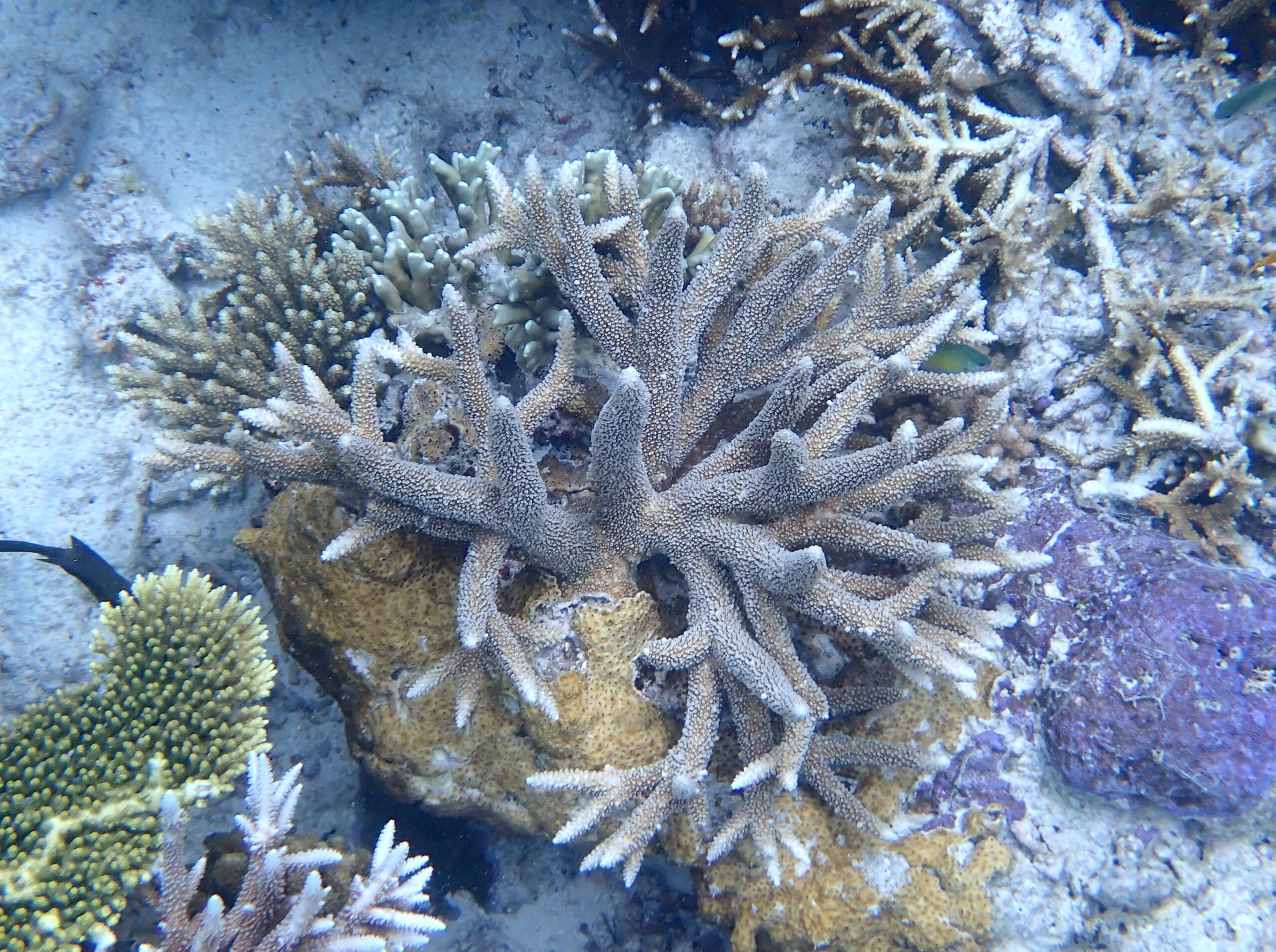
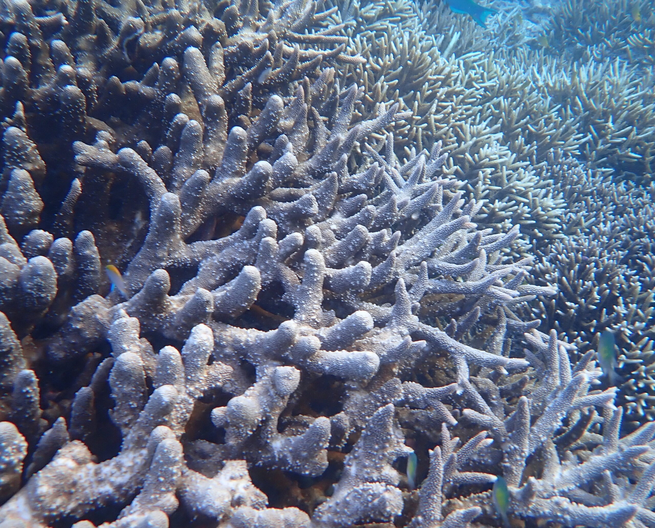
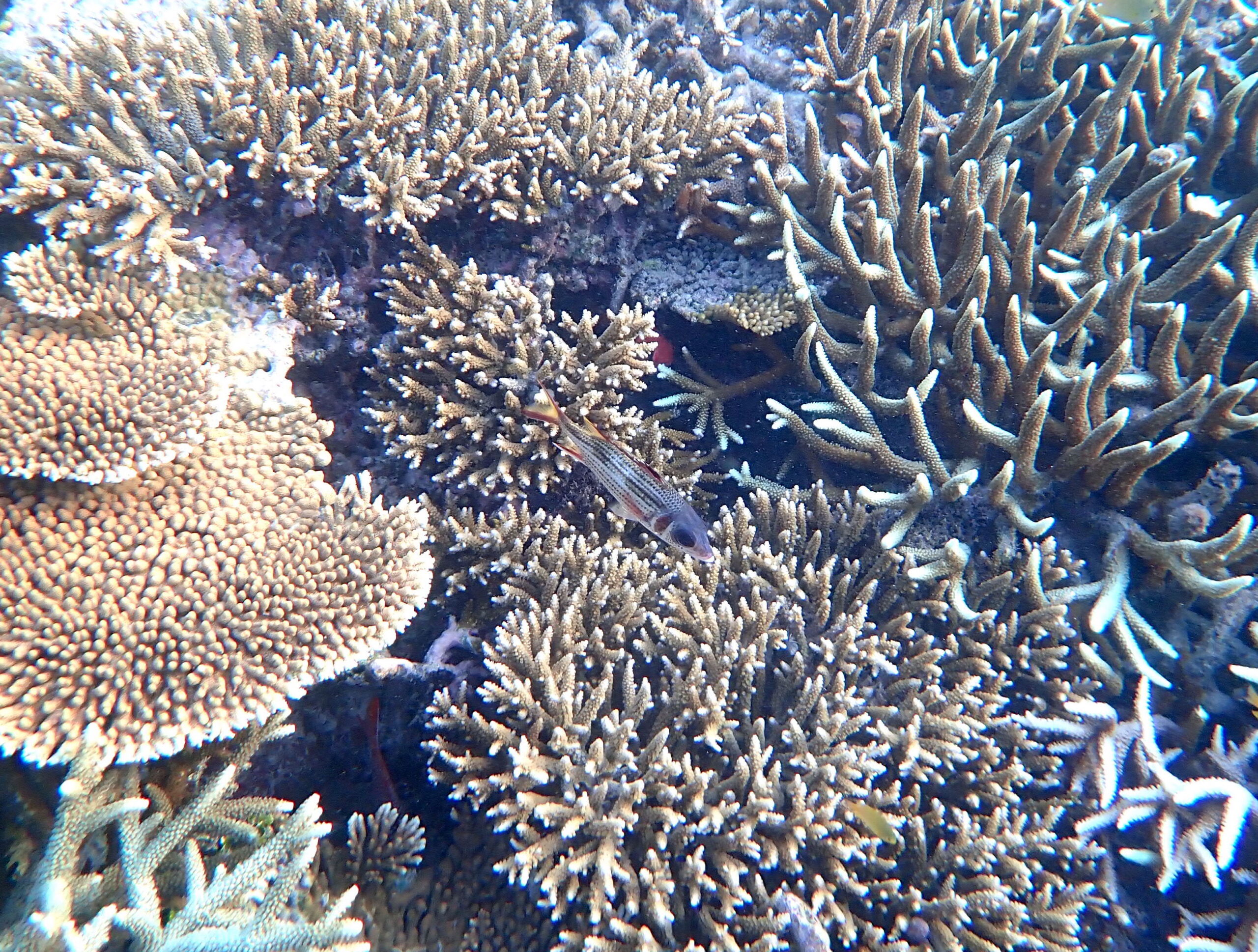
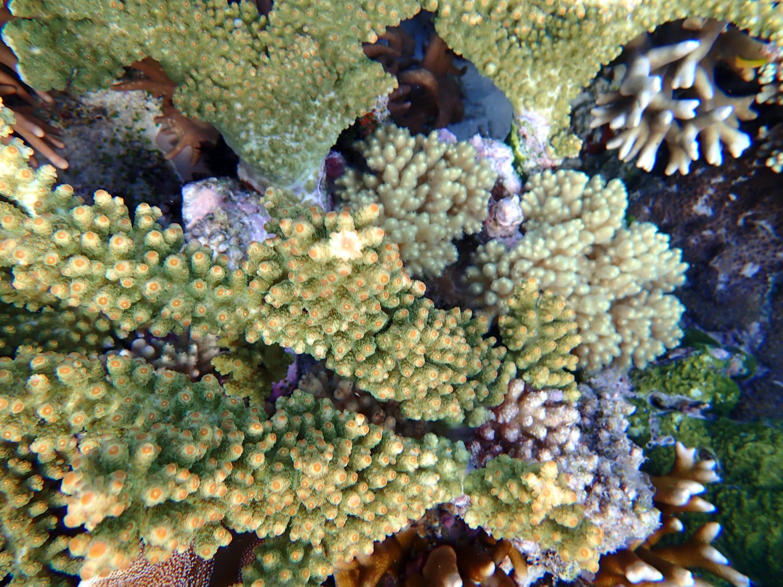
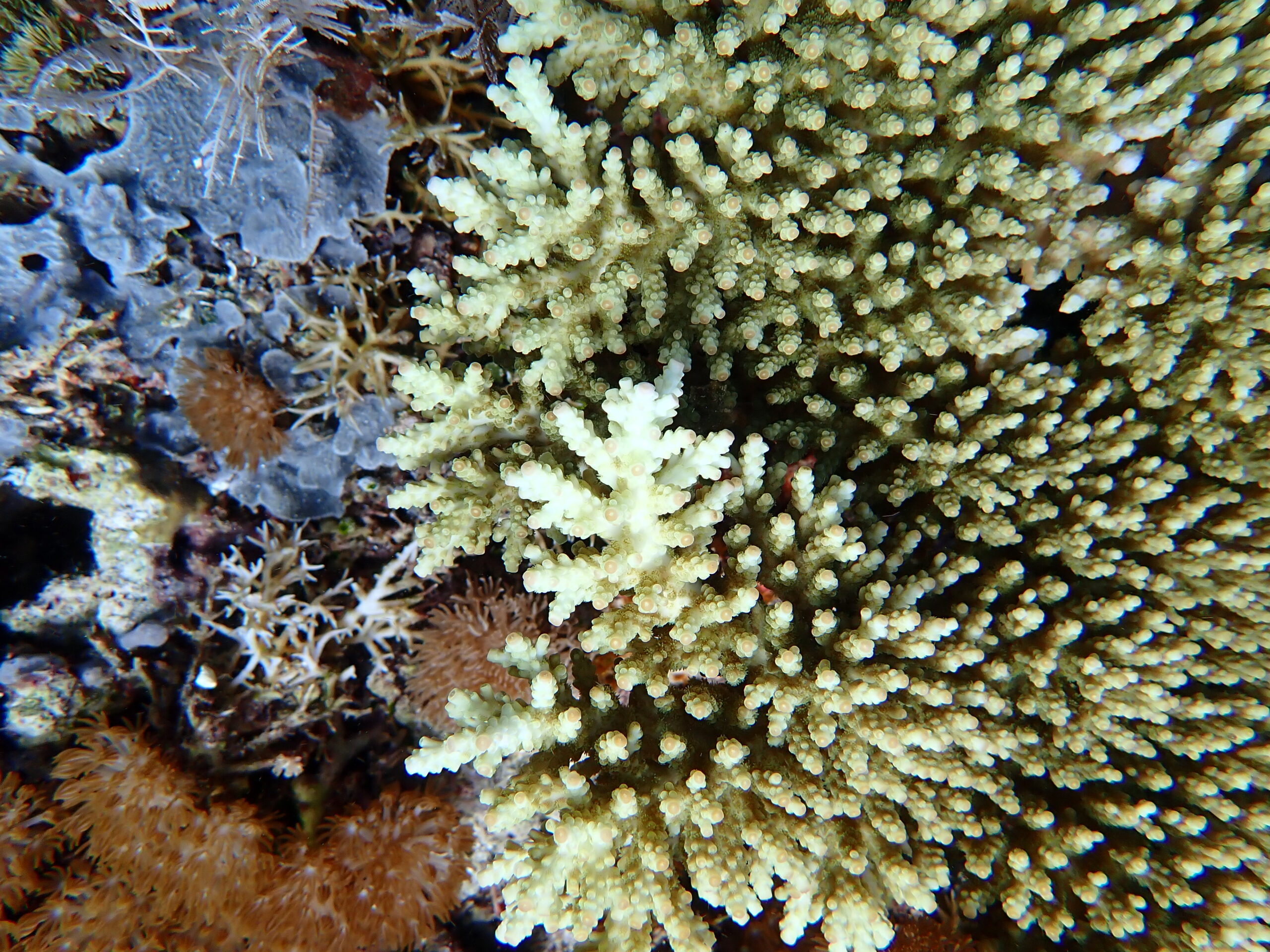
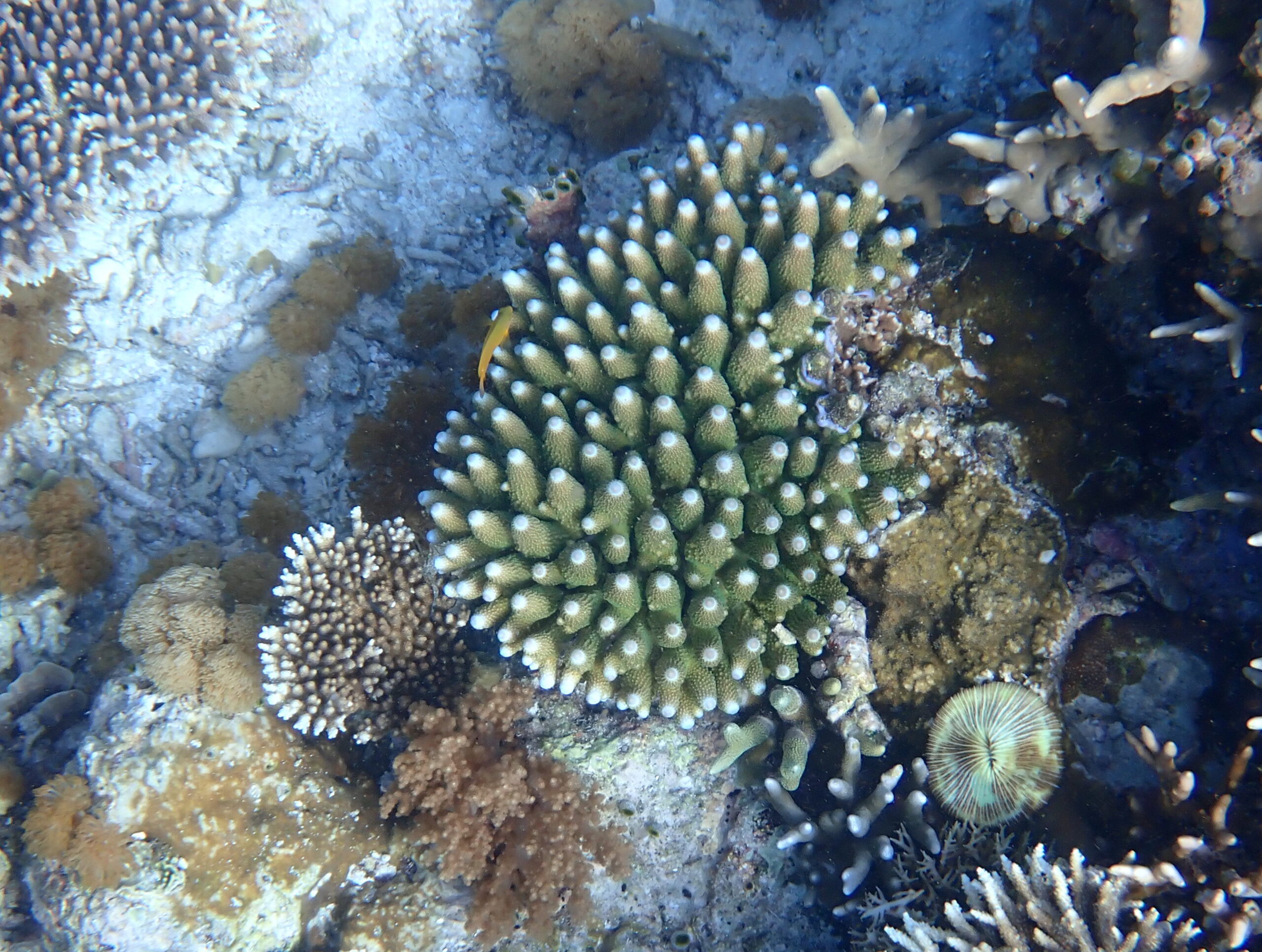
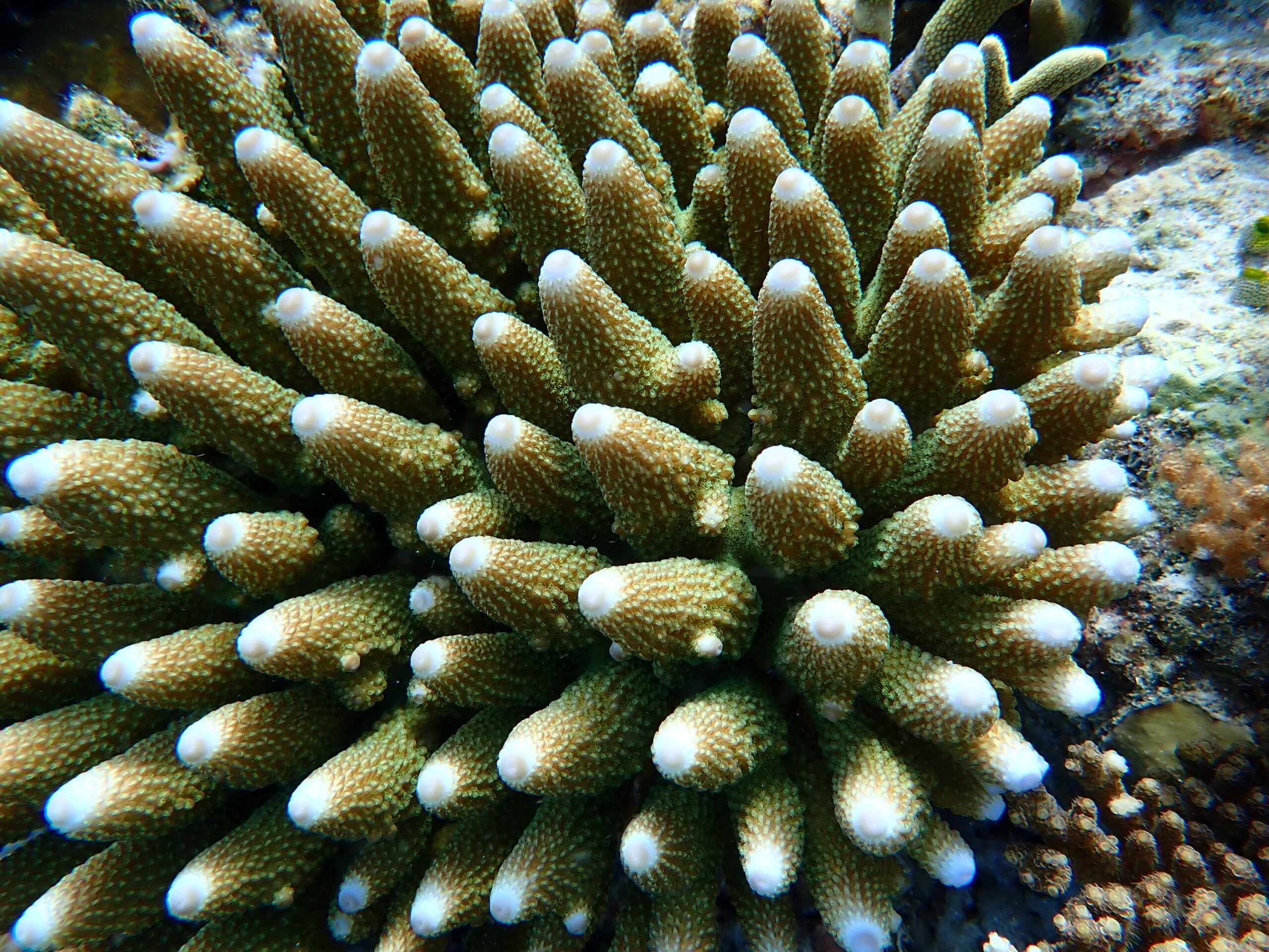
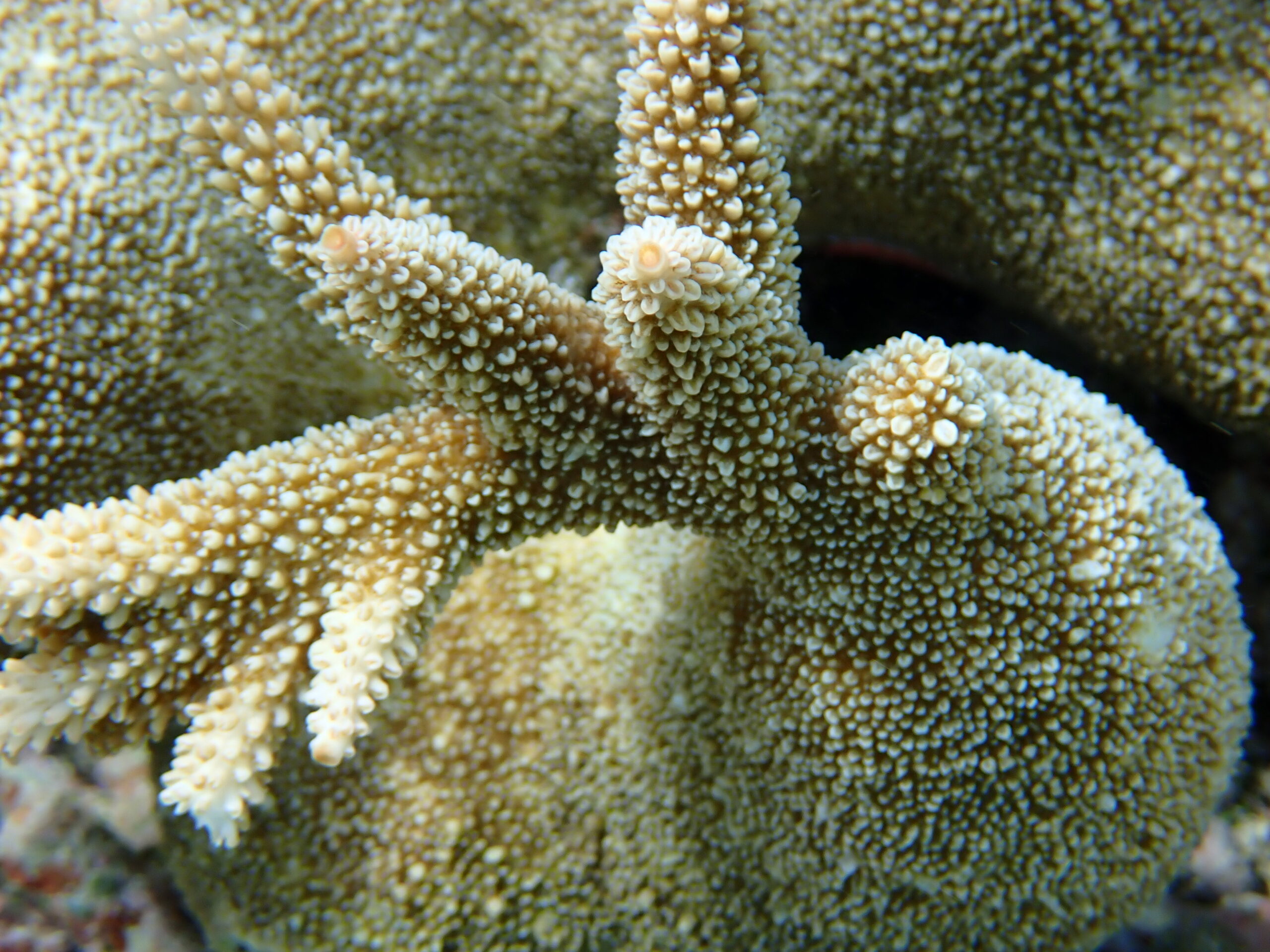
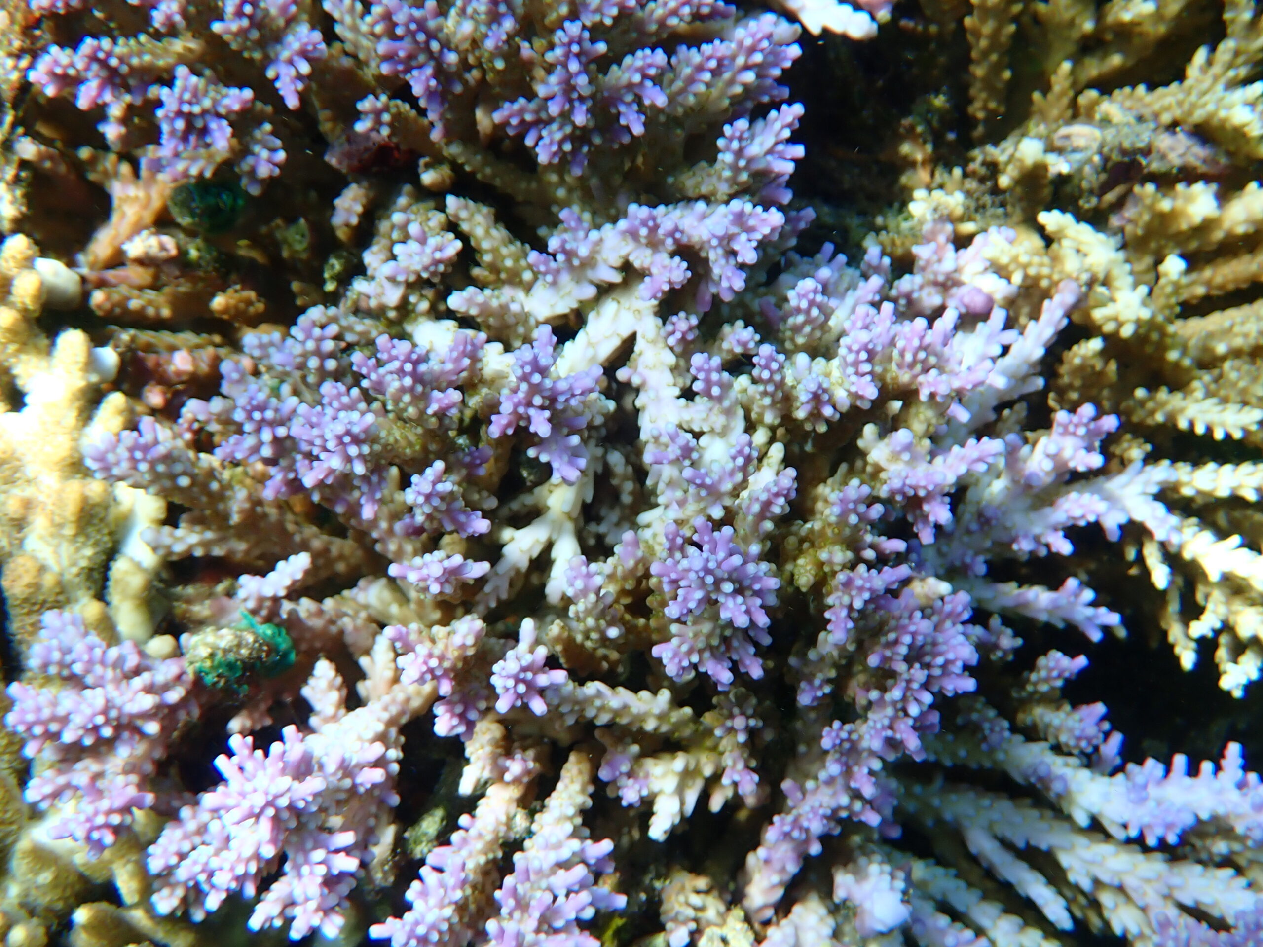
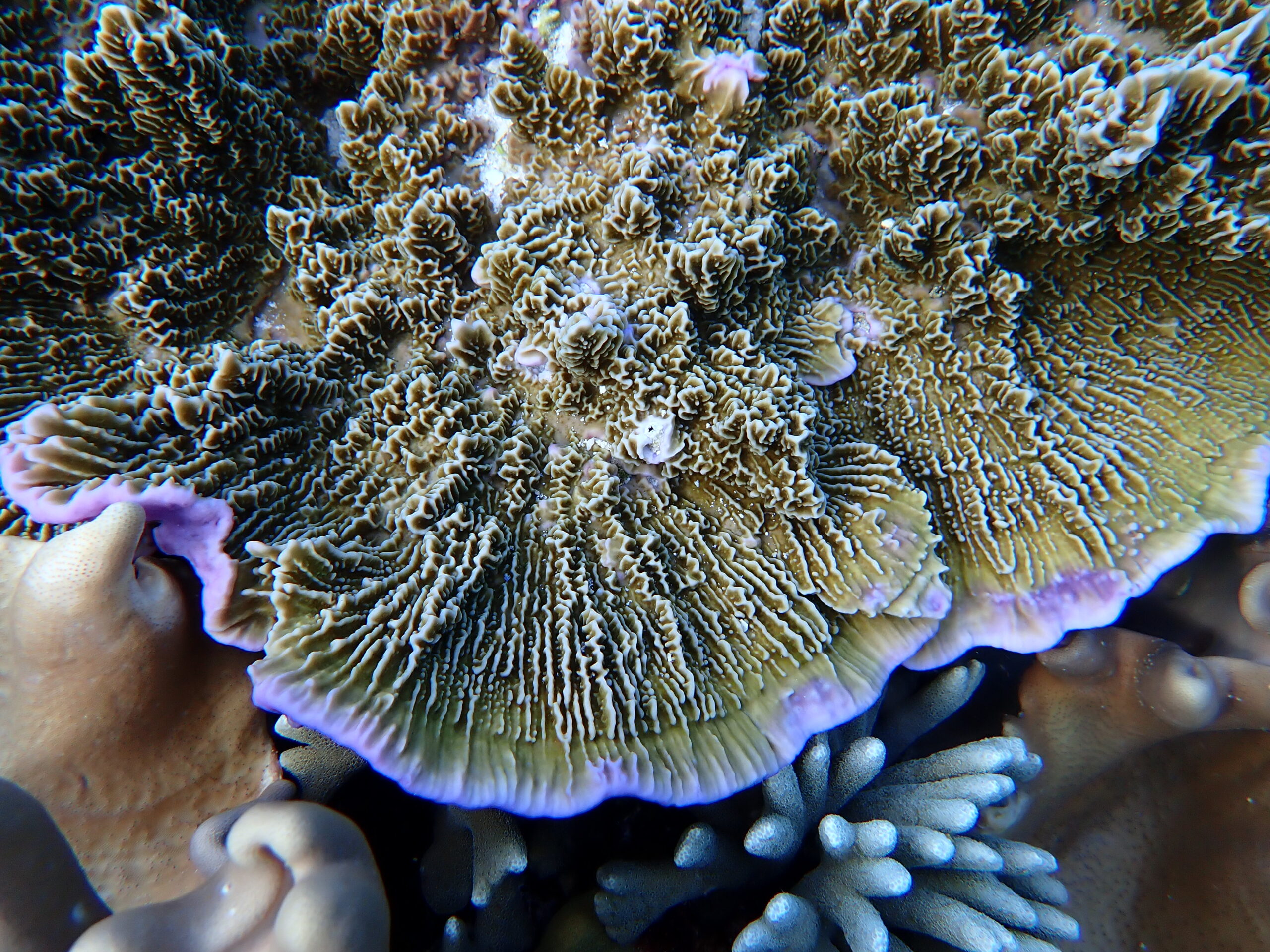
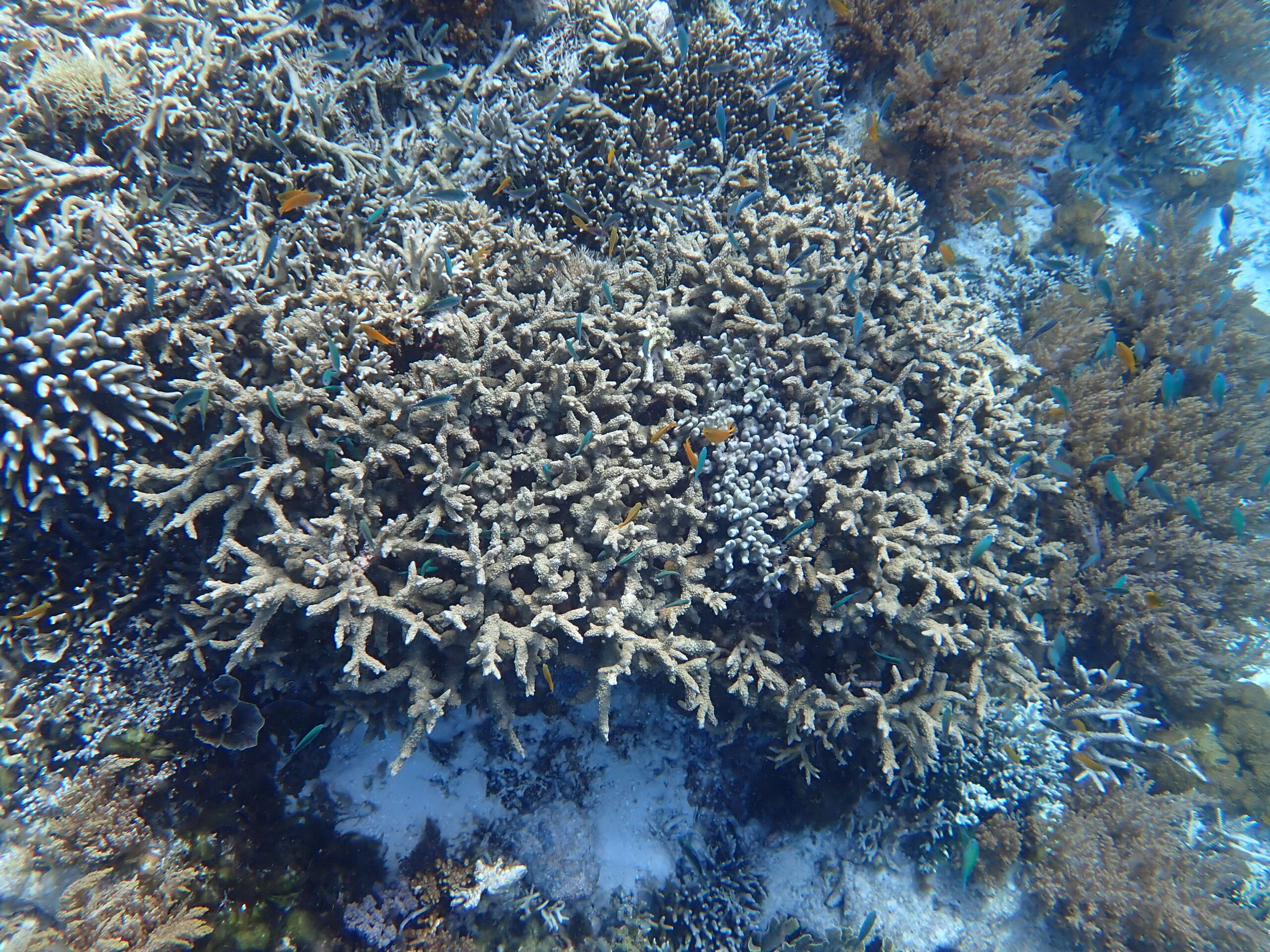
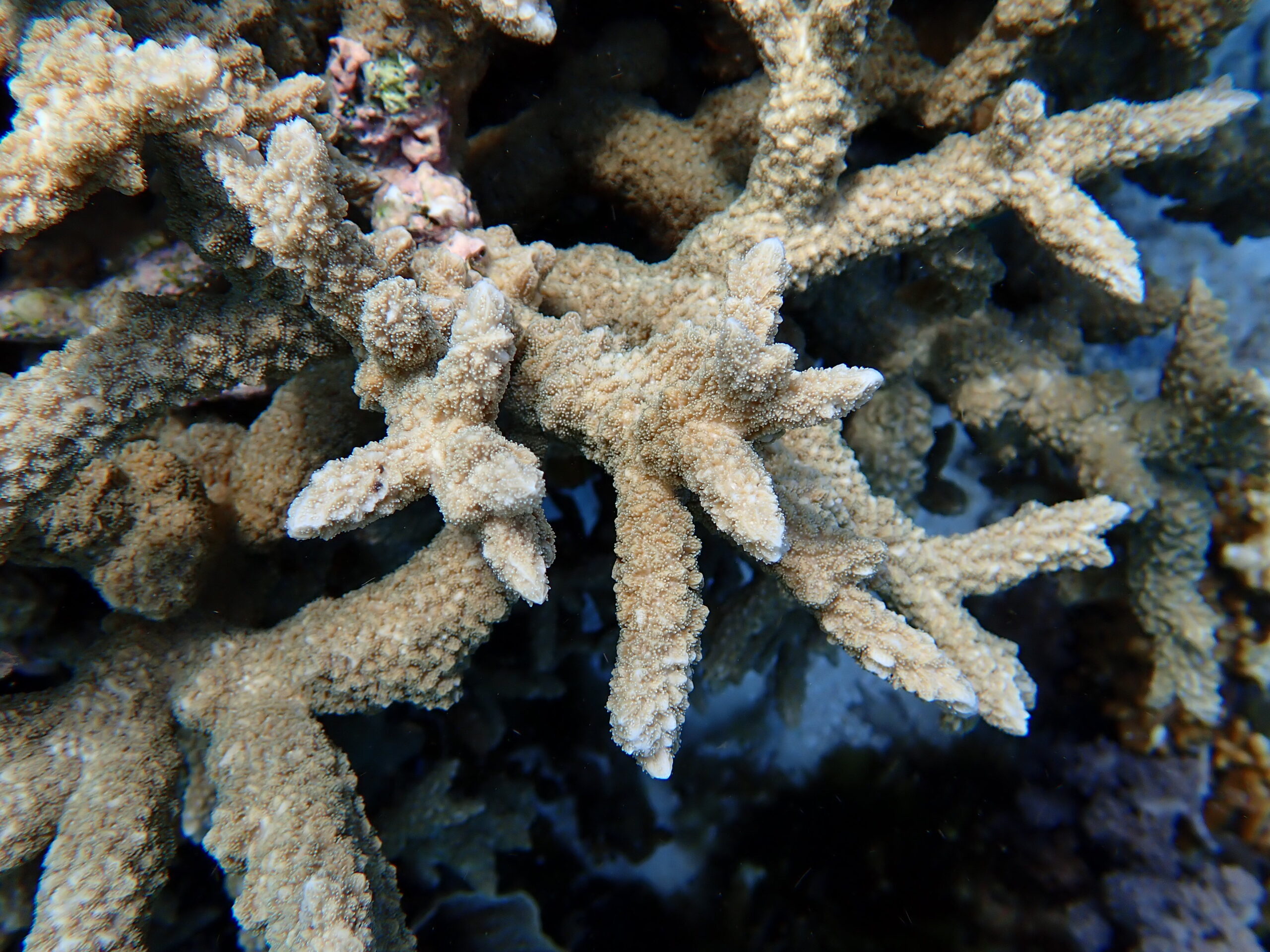
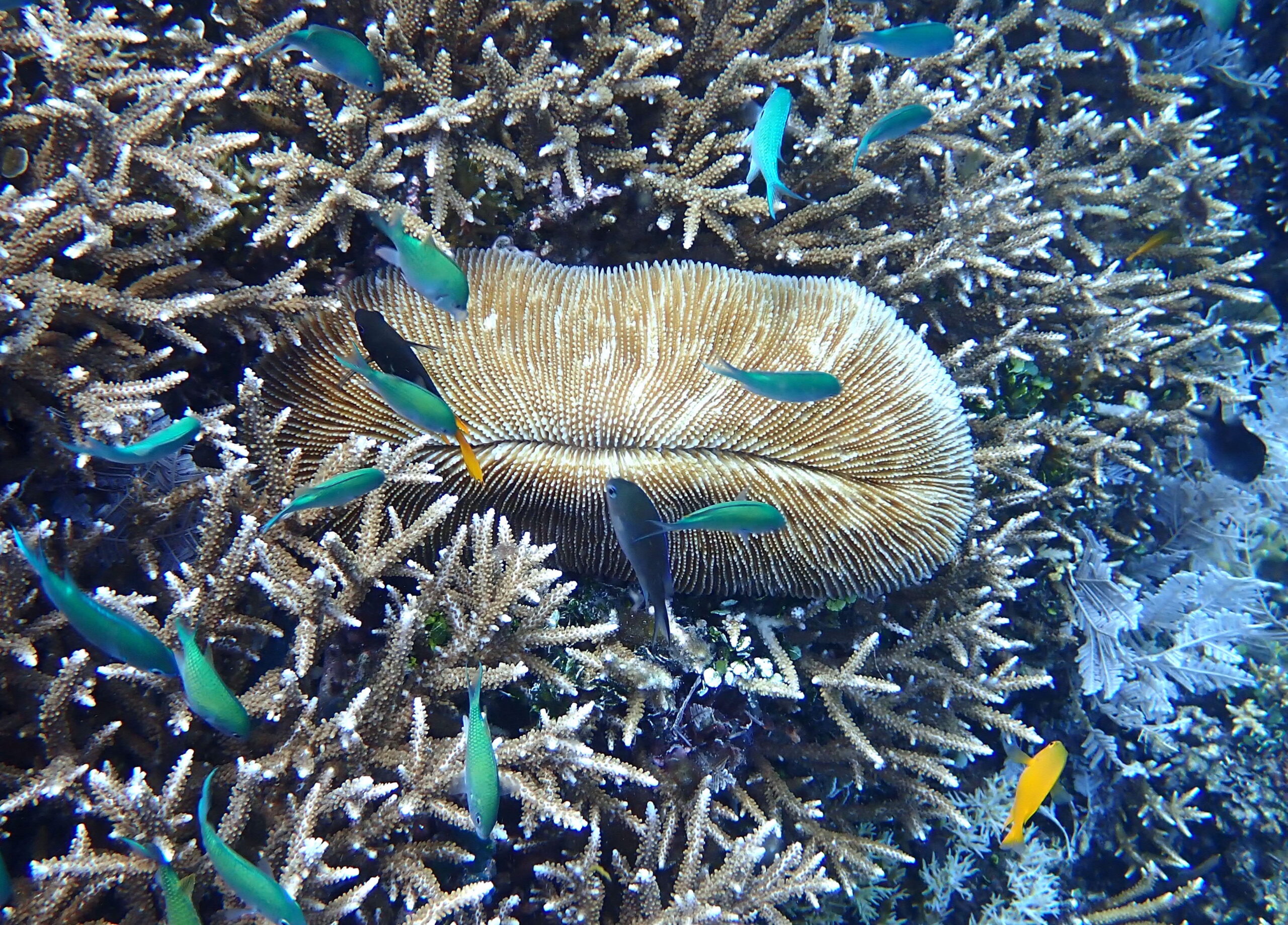
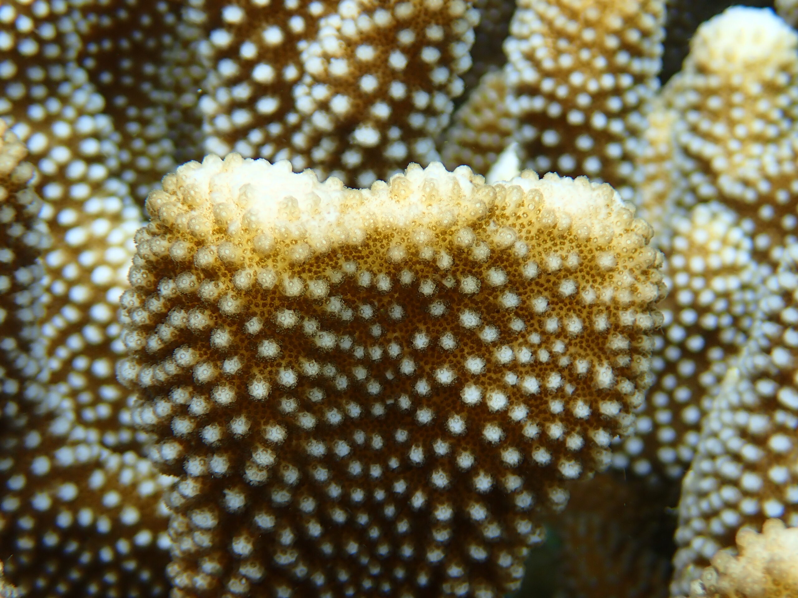
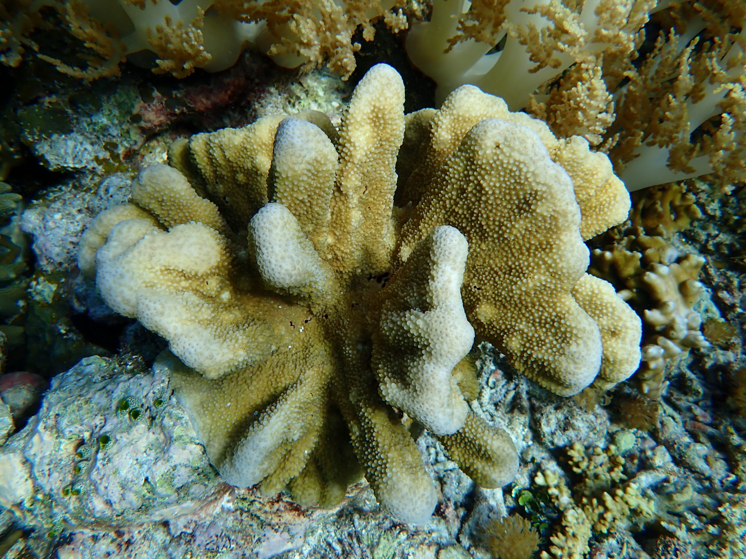
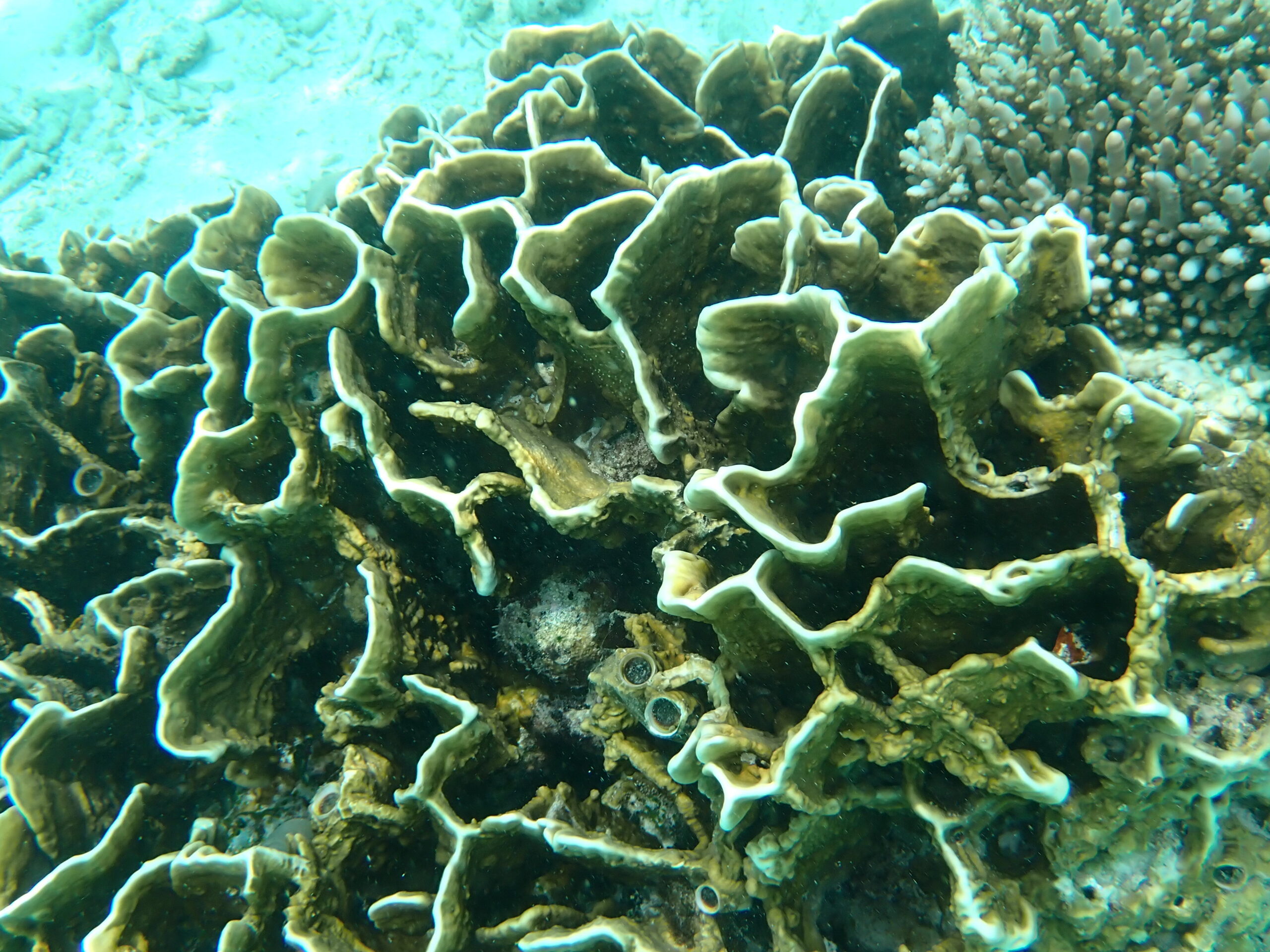
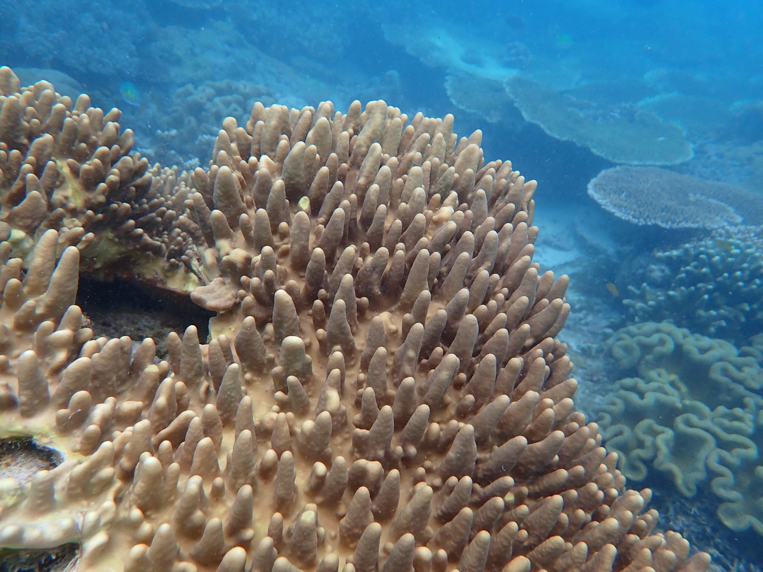
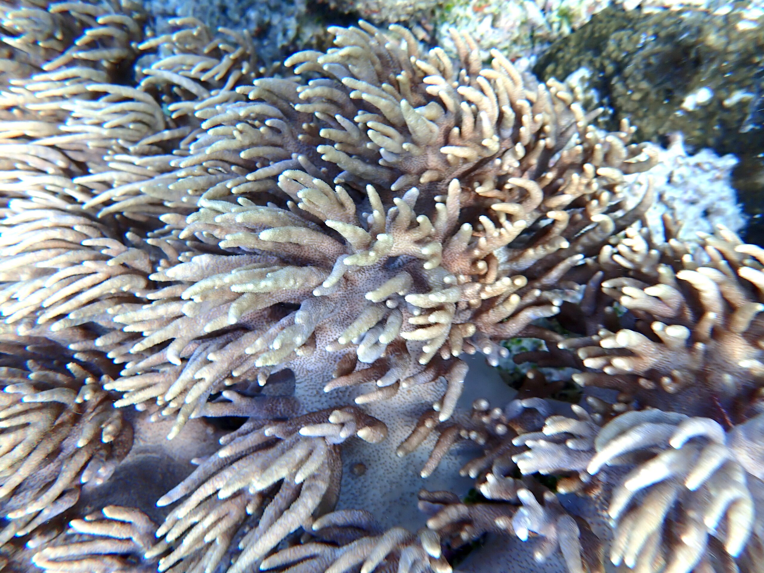
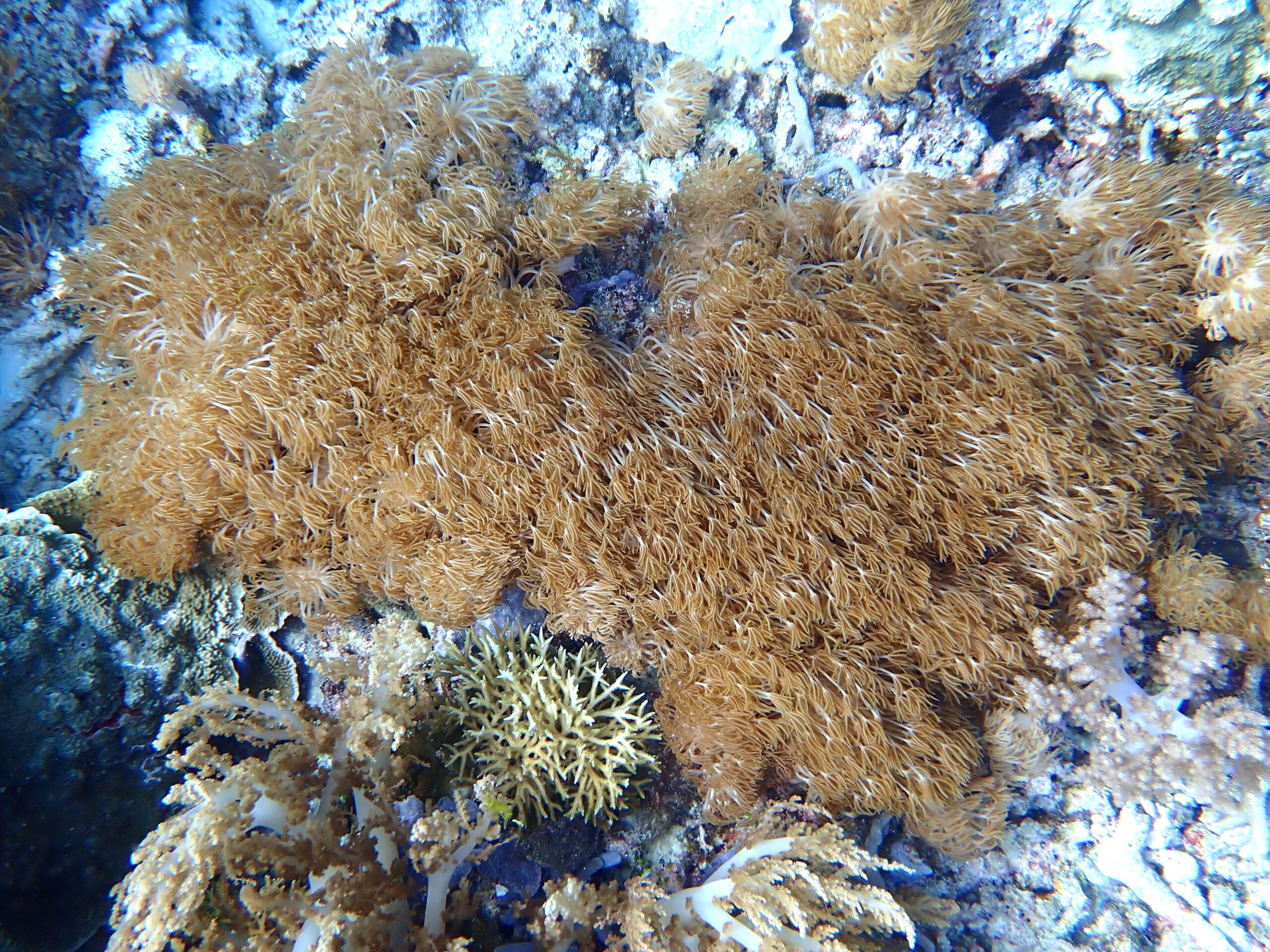
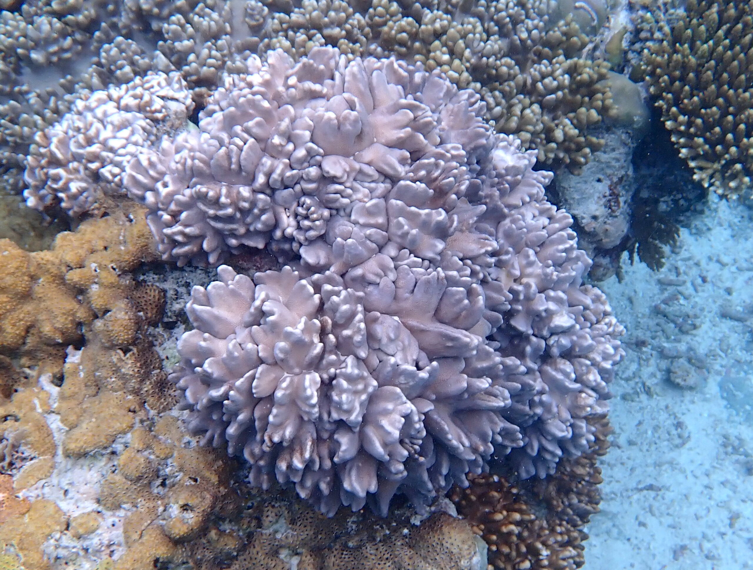
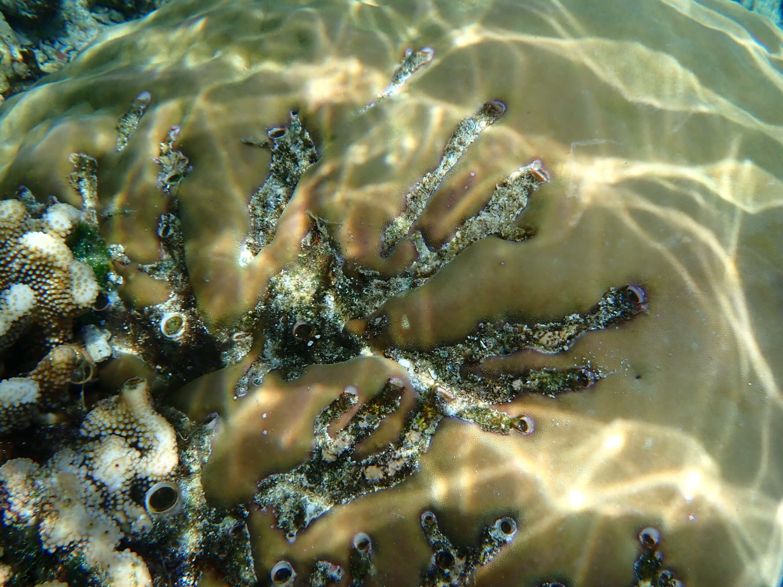
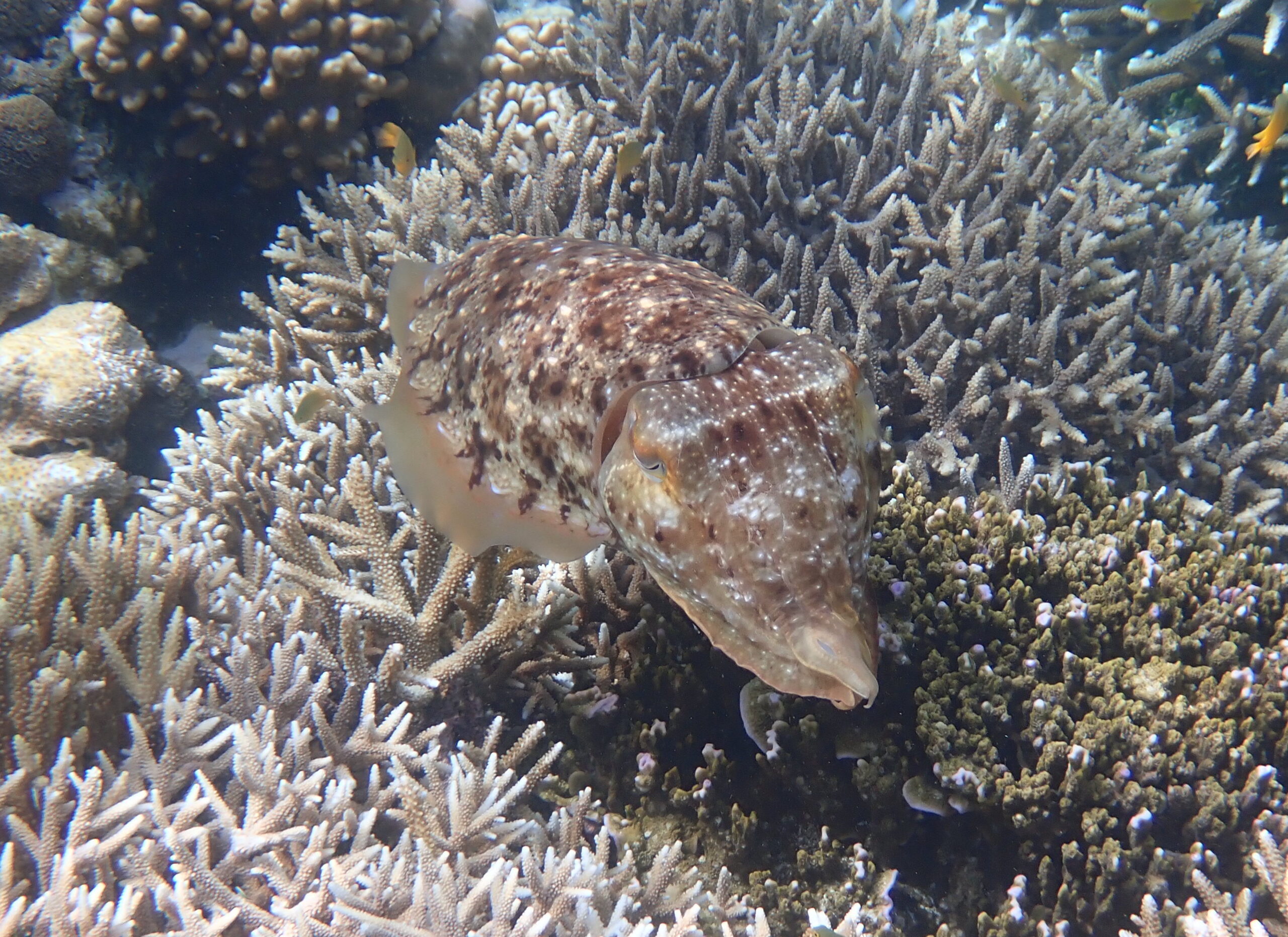
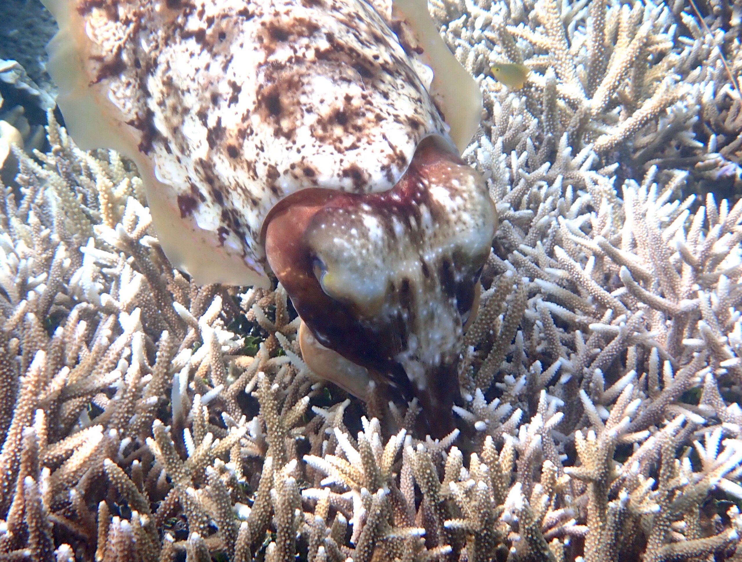
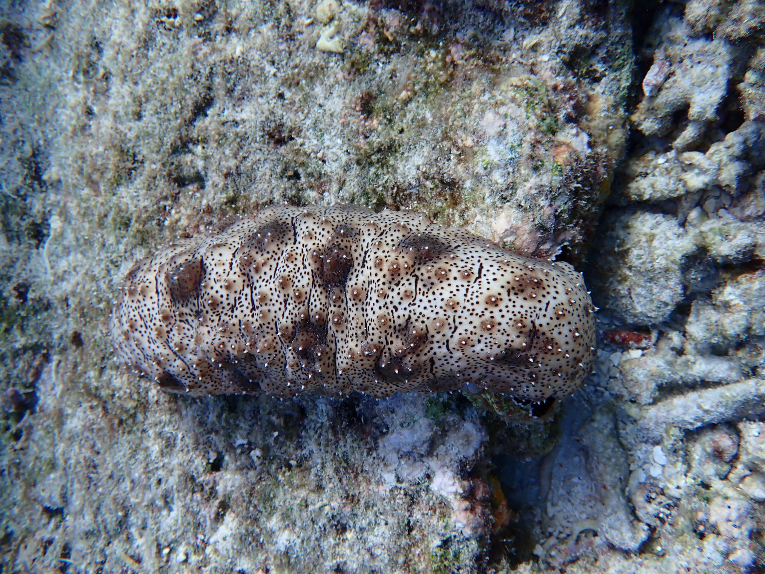
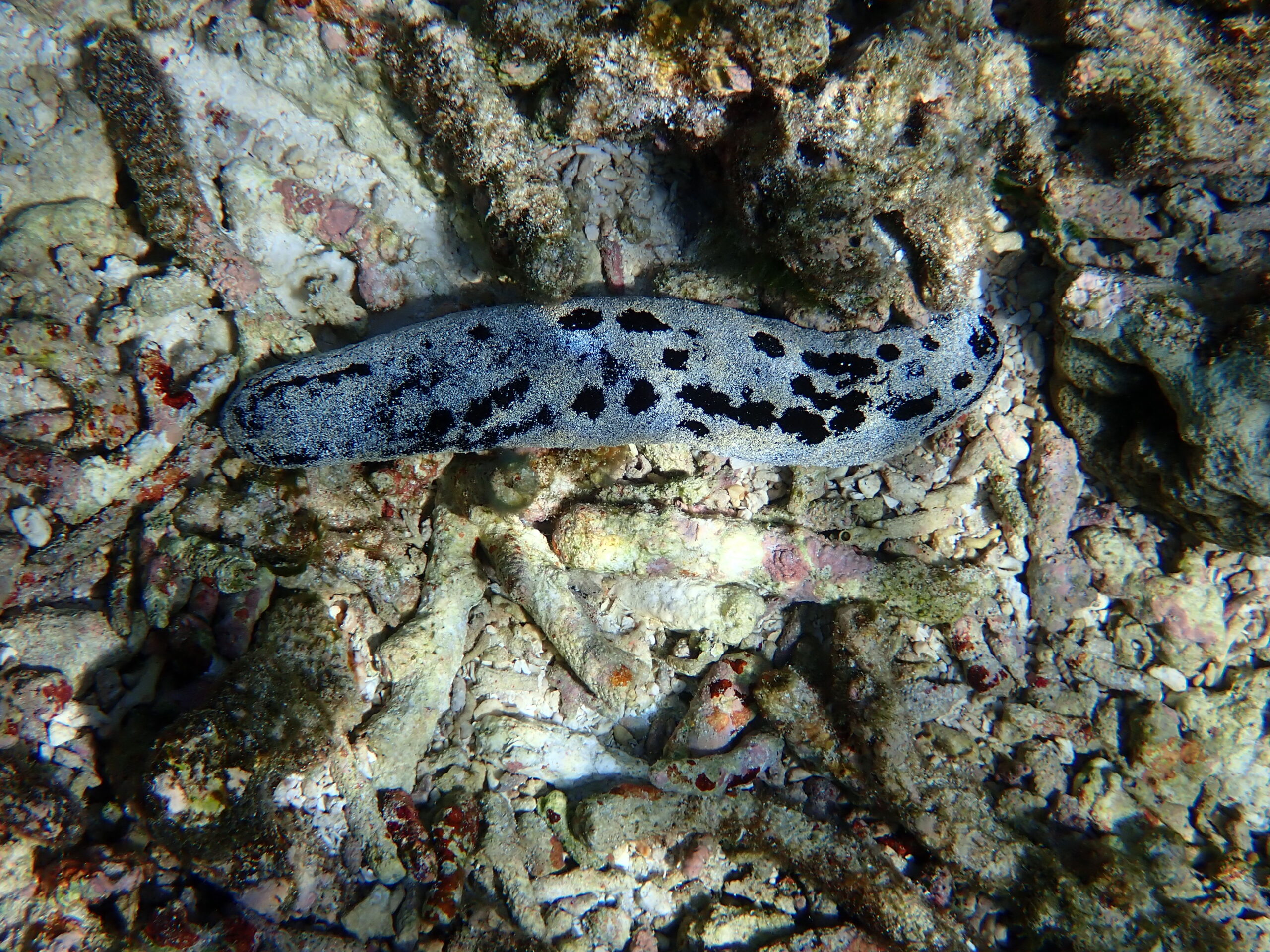
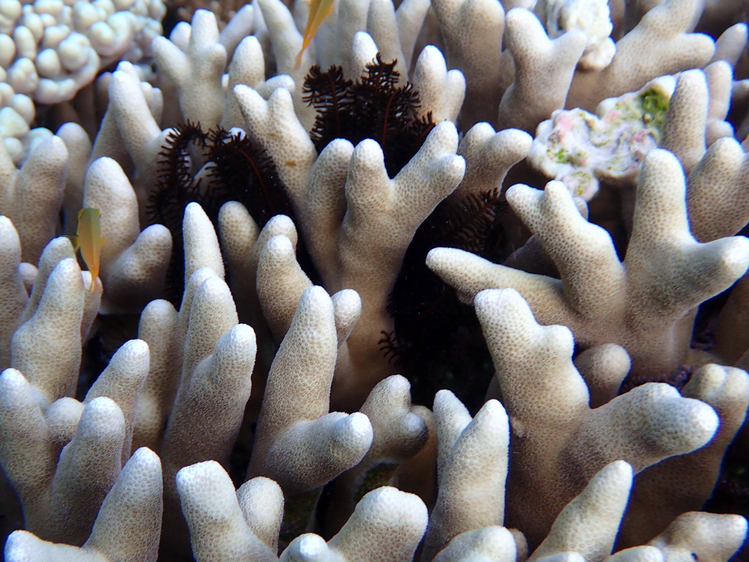
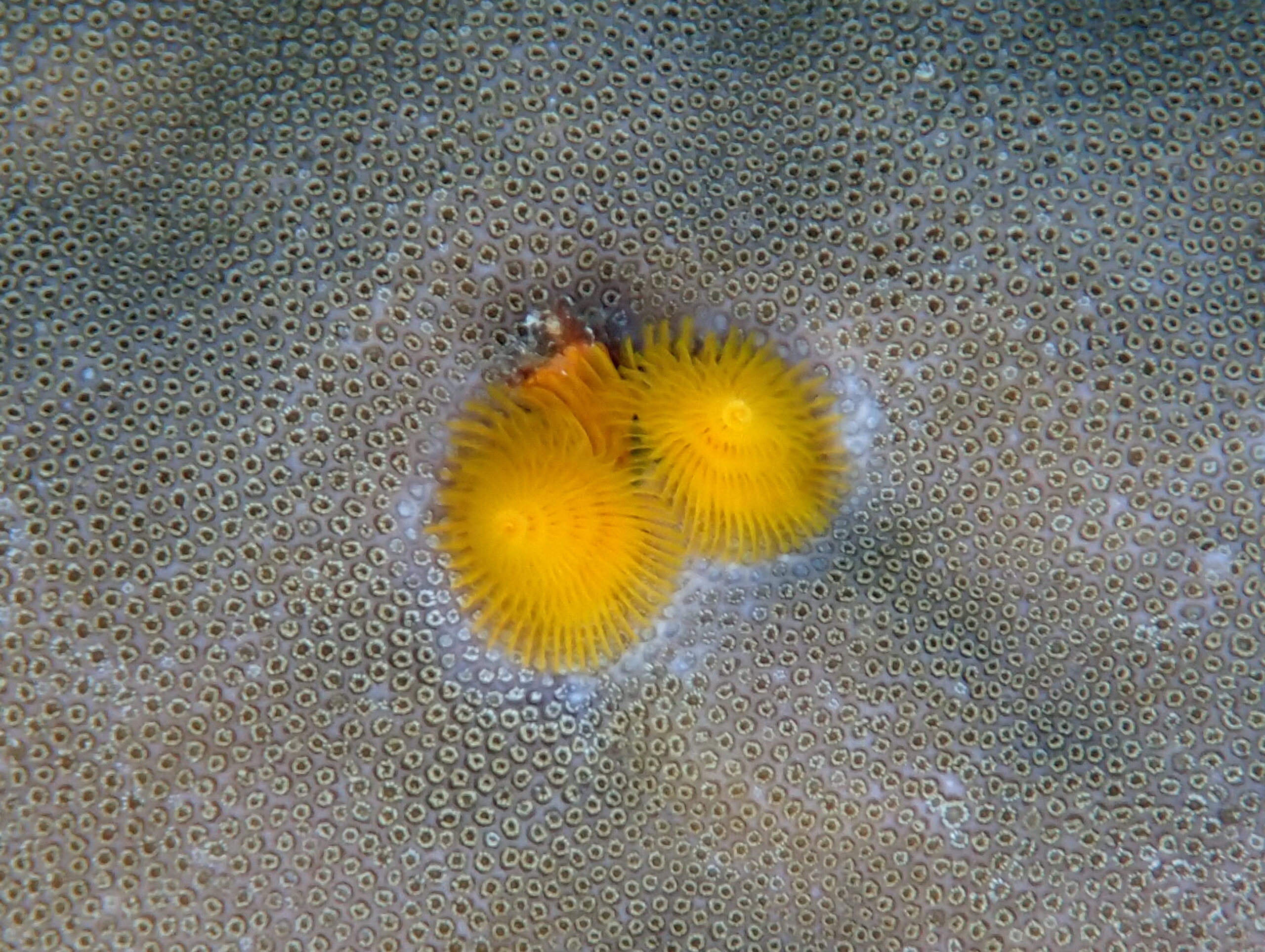
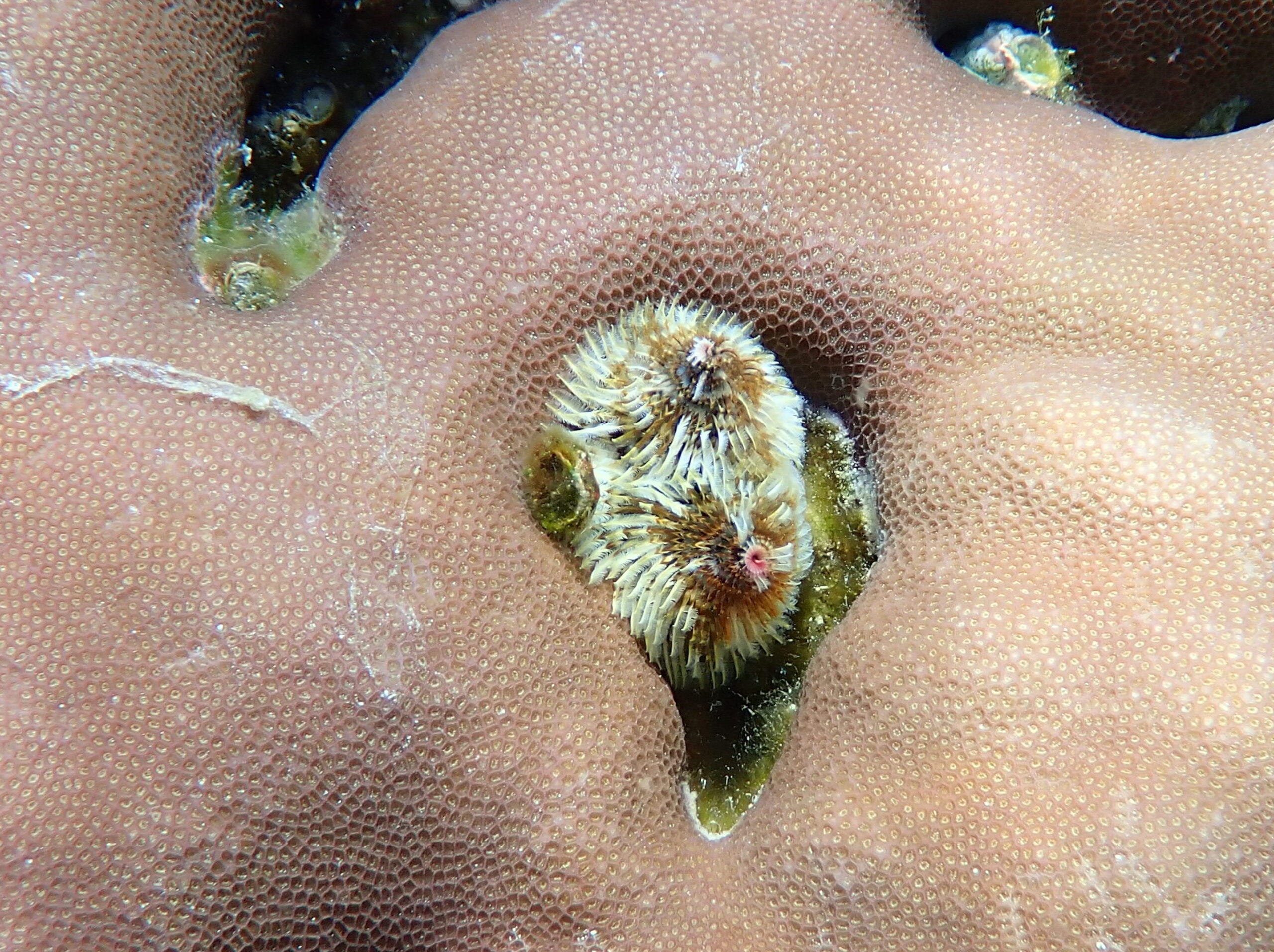
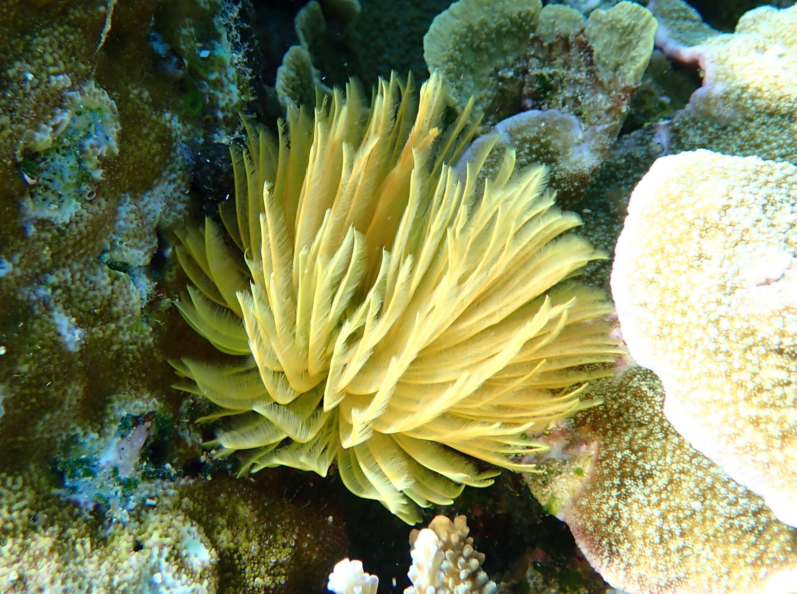
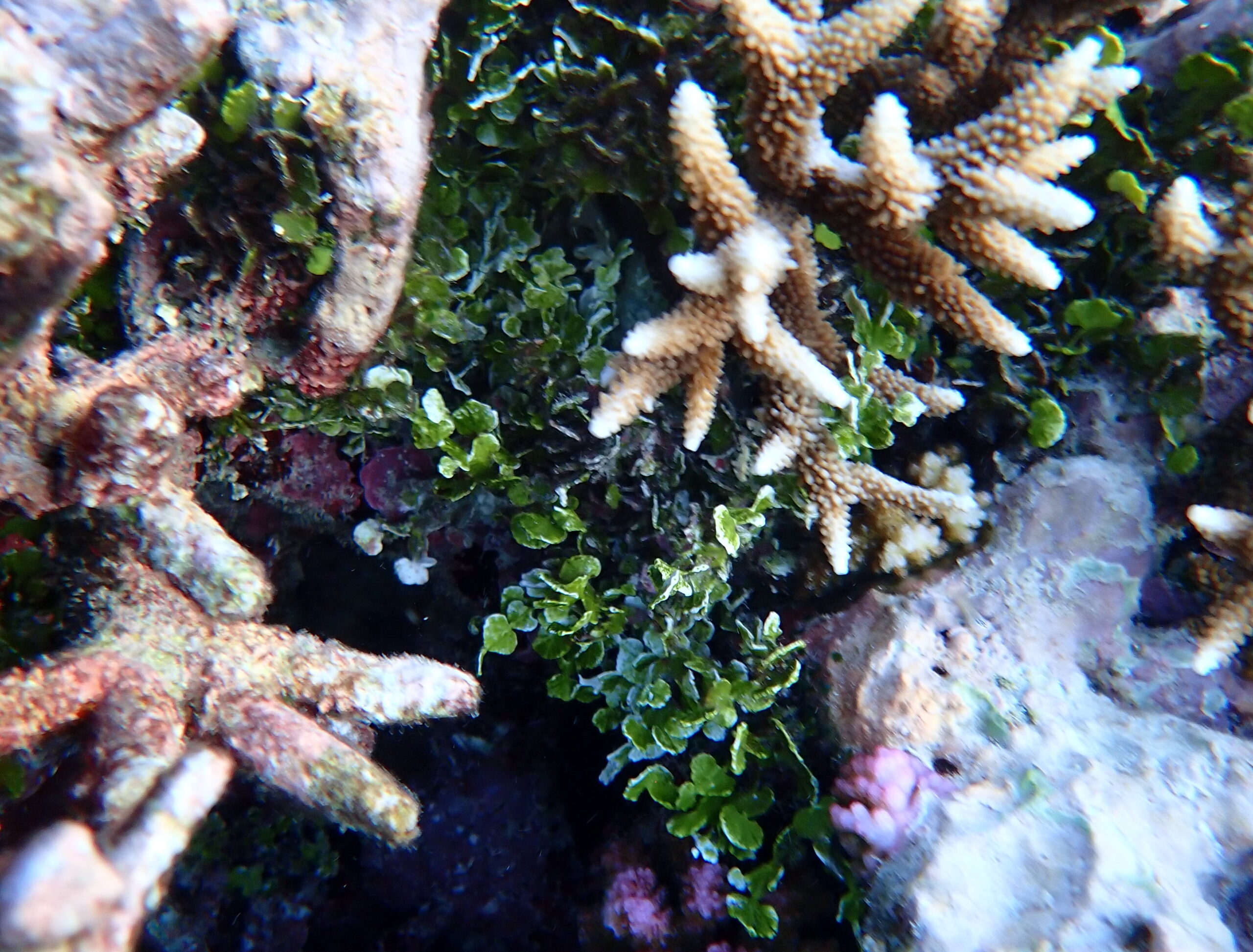
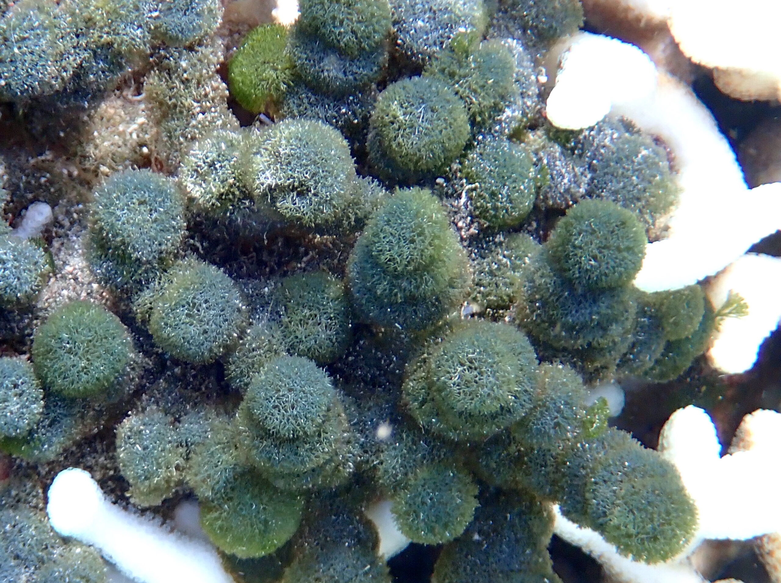
The seabed at site 1 comprises broken coral debris, so wear shoes/boots. Once the water is sufficiently deep you will see Acropora and Pocillopora corals as well as numerous fish species. At this point you can choose to swim either north or south, over more extensive coral reef.
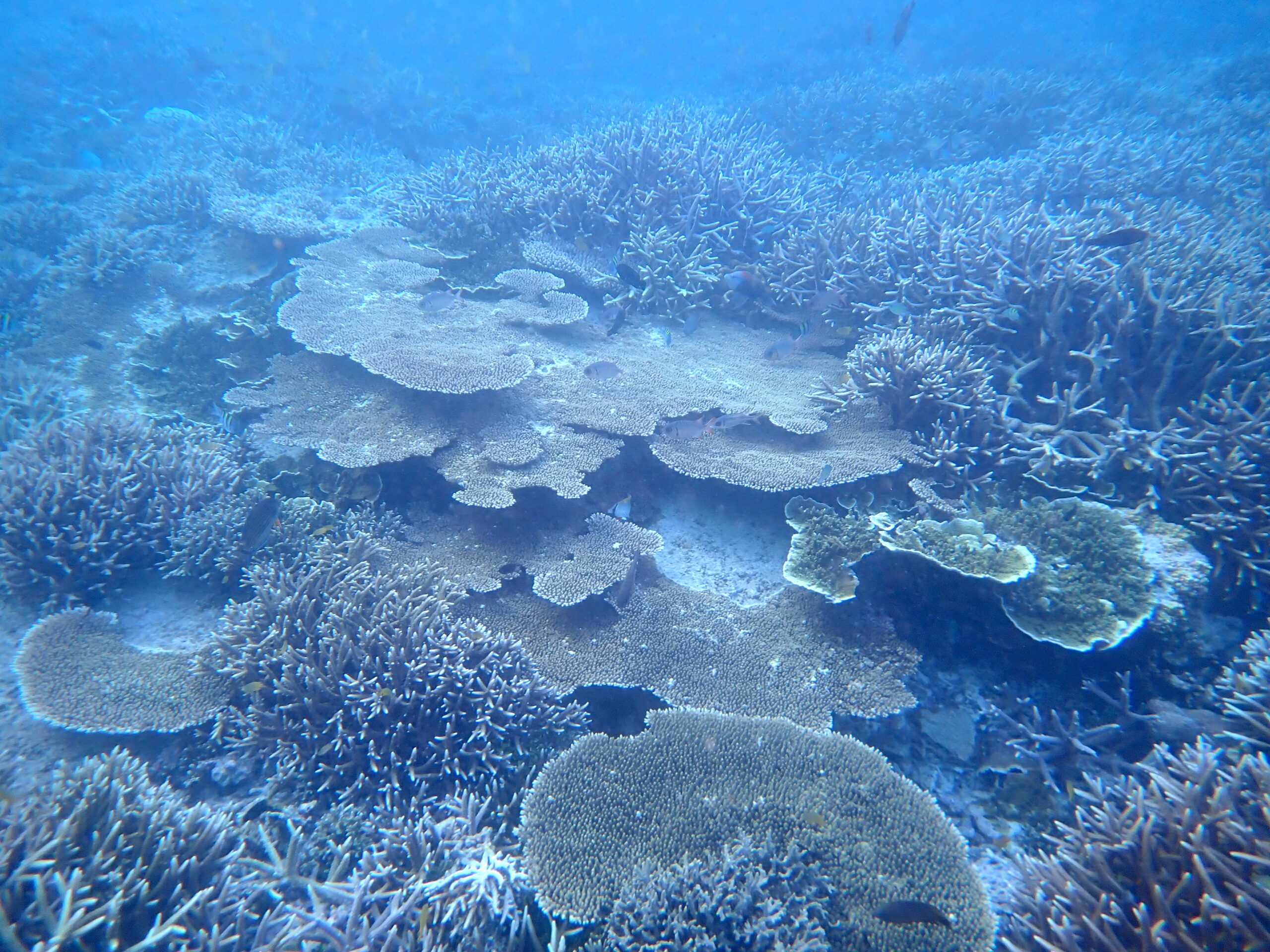
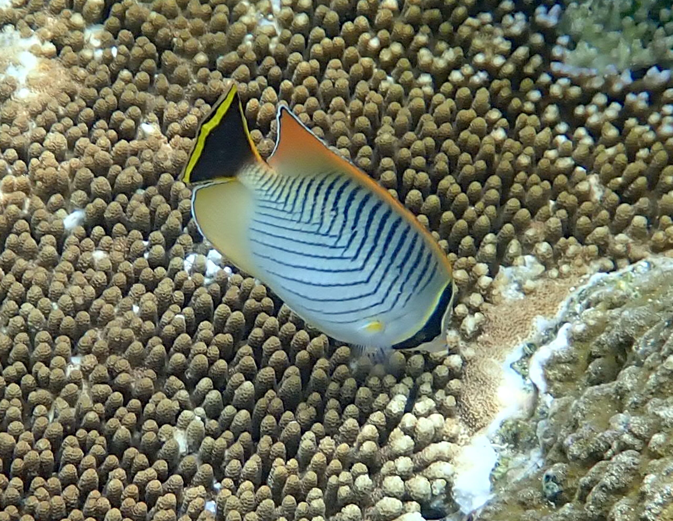
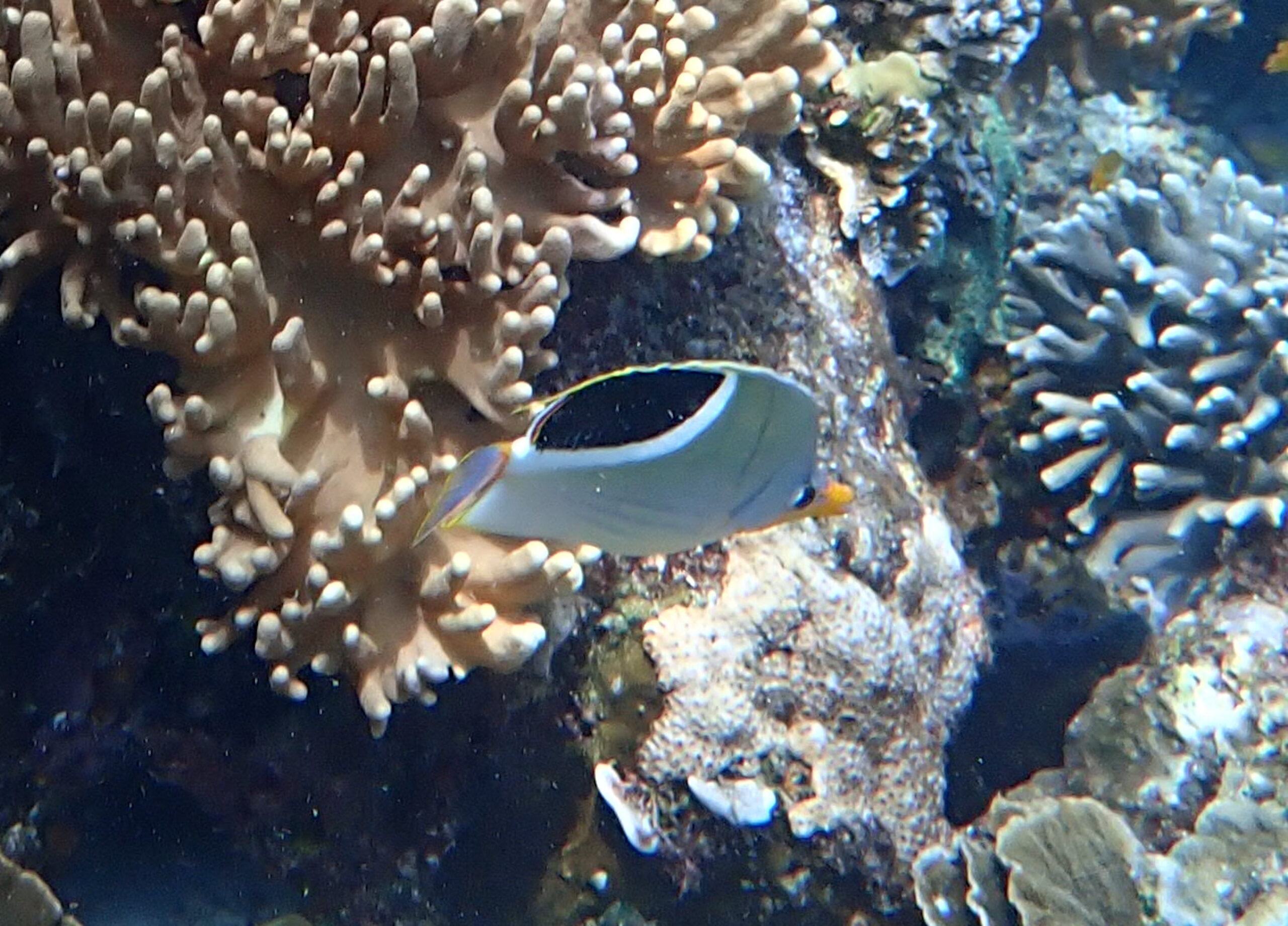
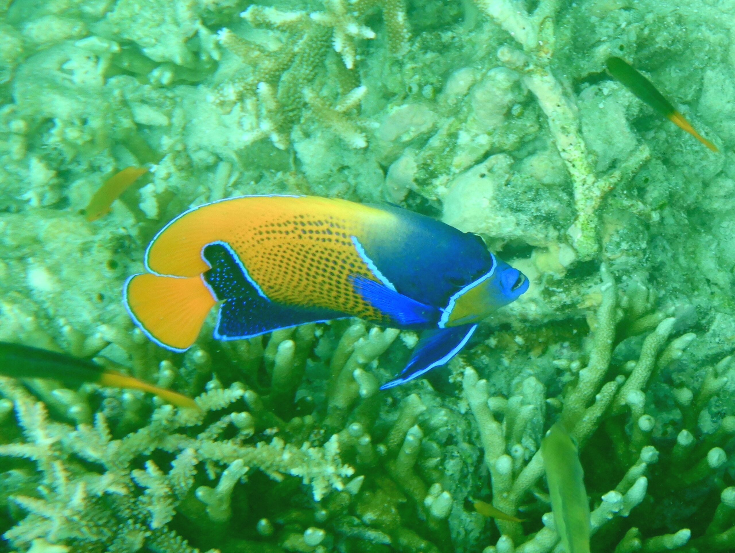
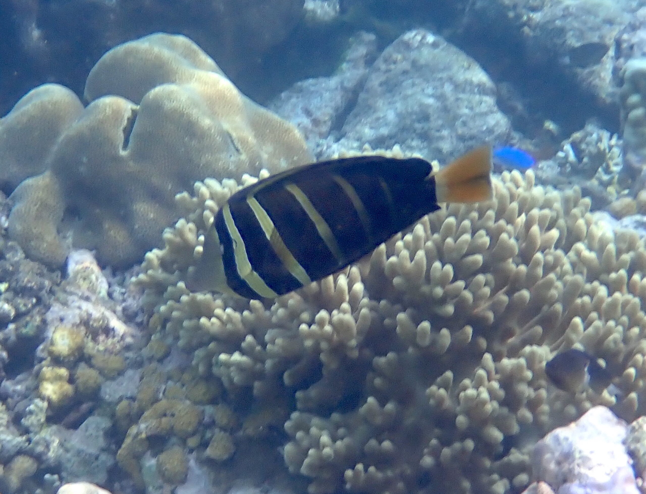
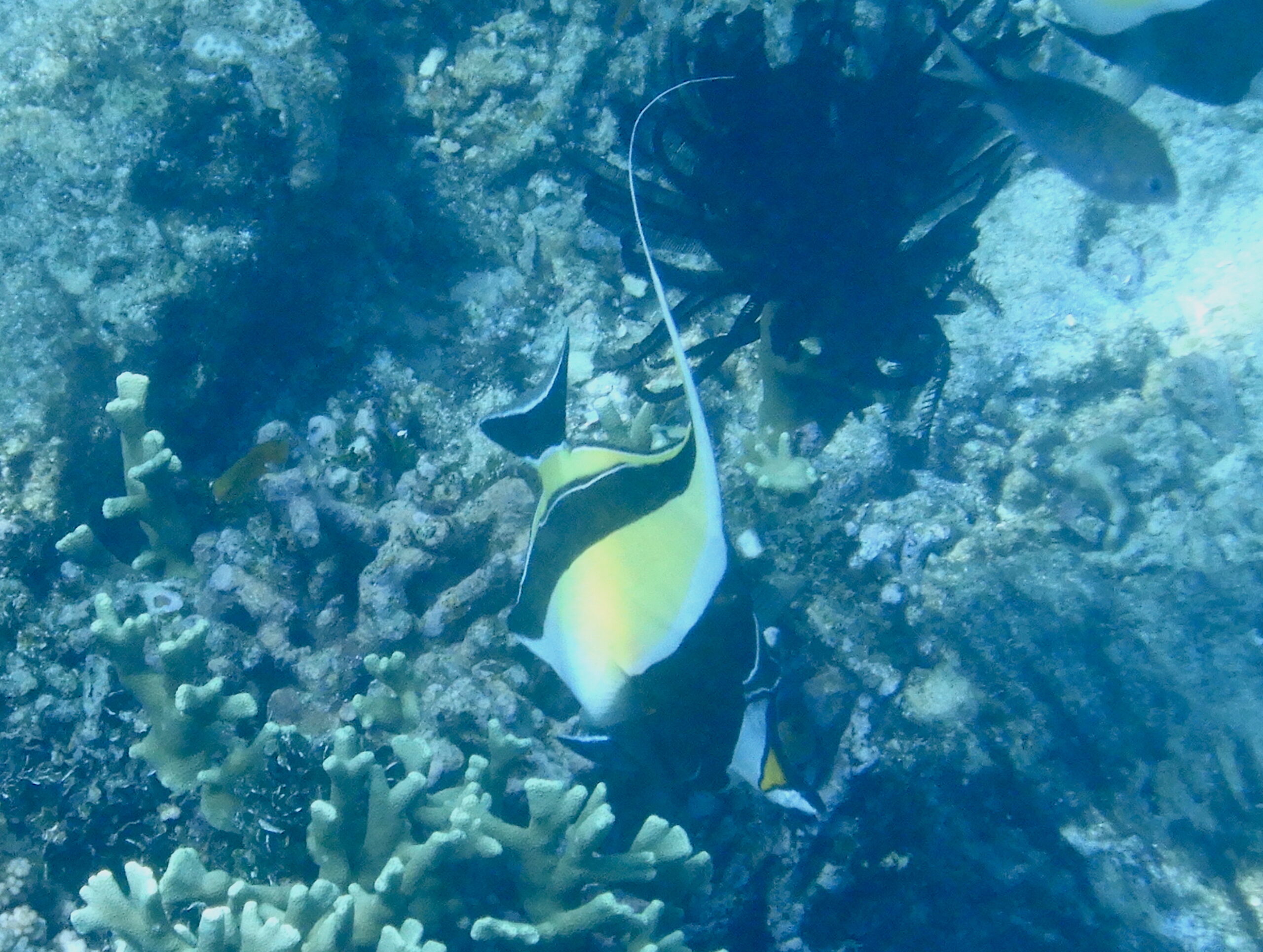
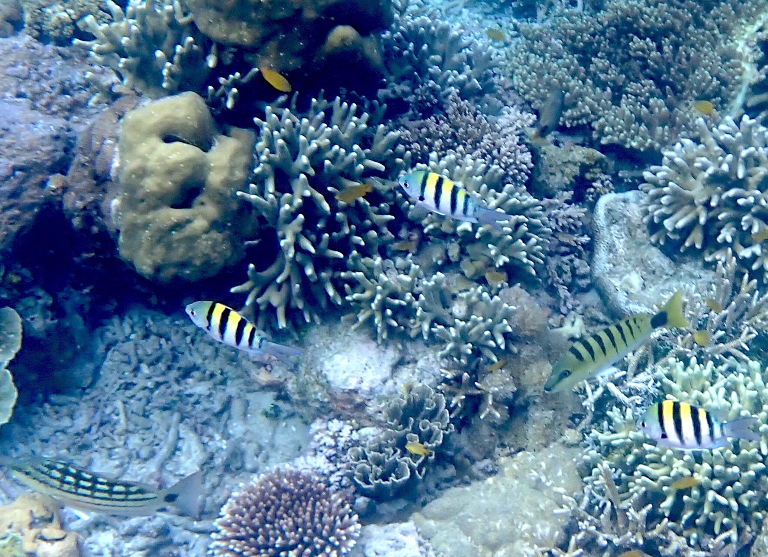
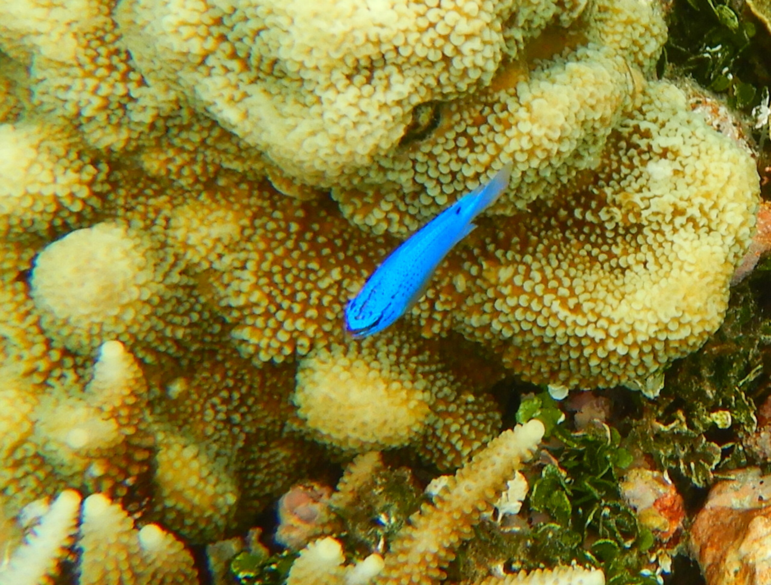
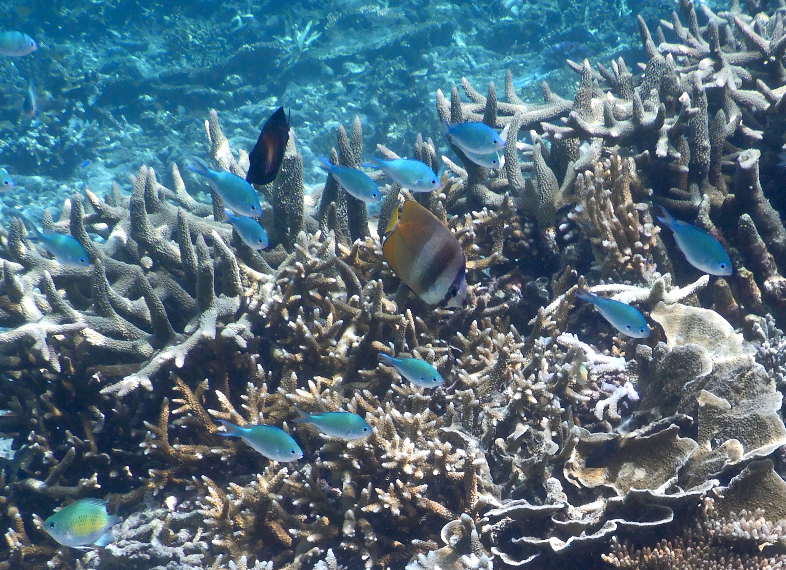
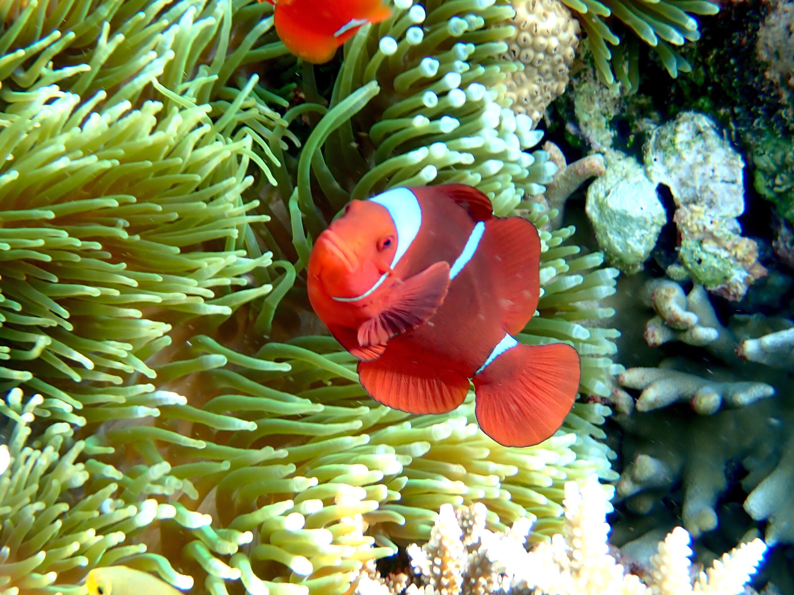
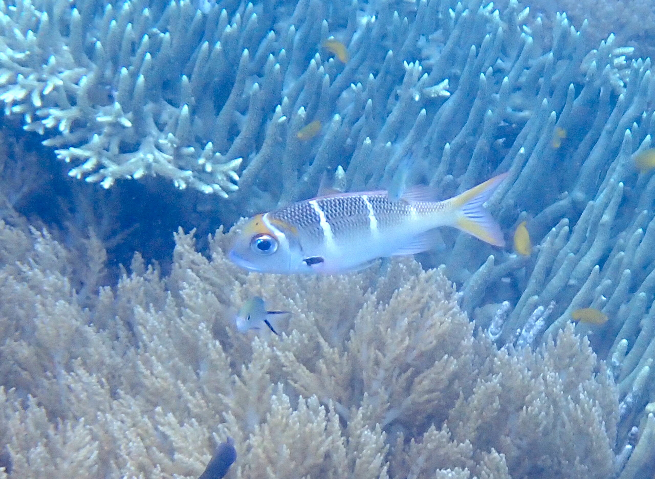
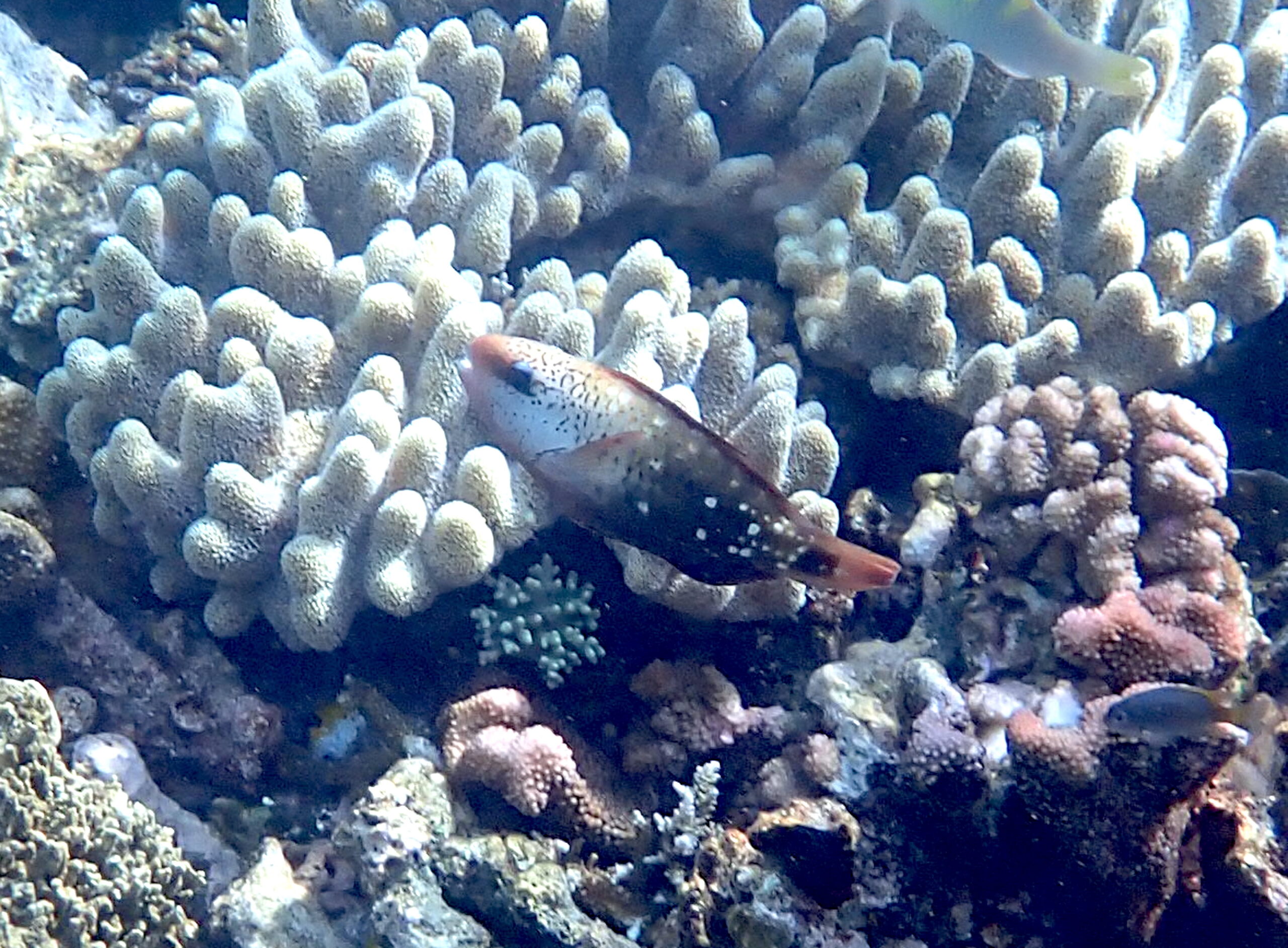
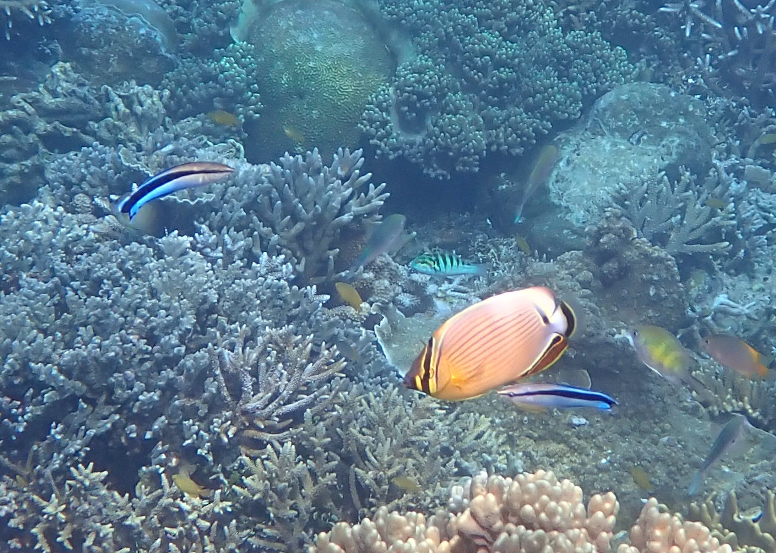
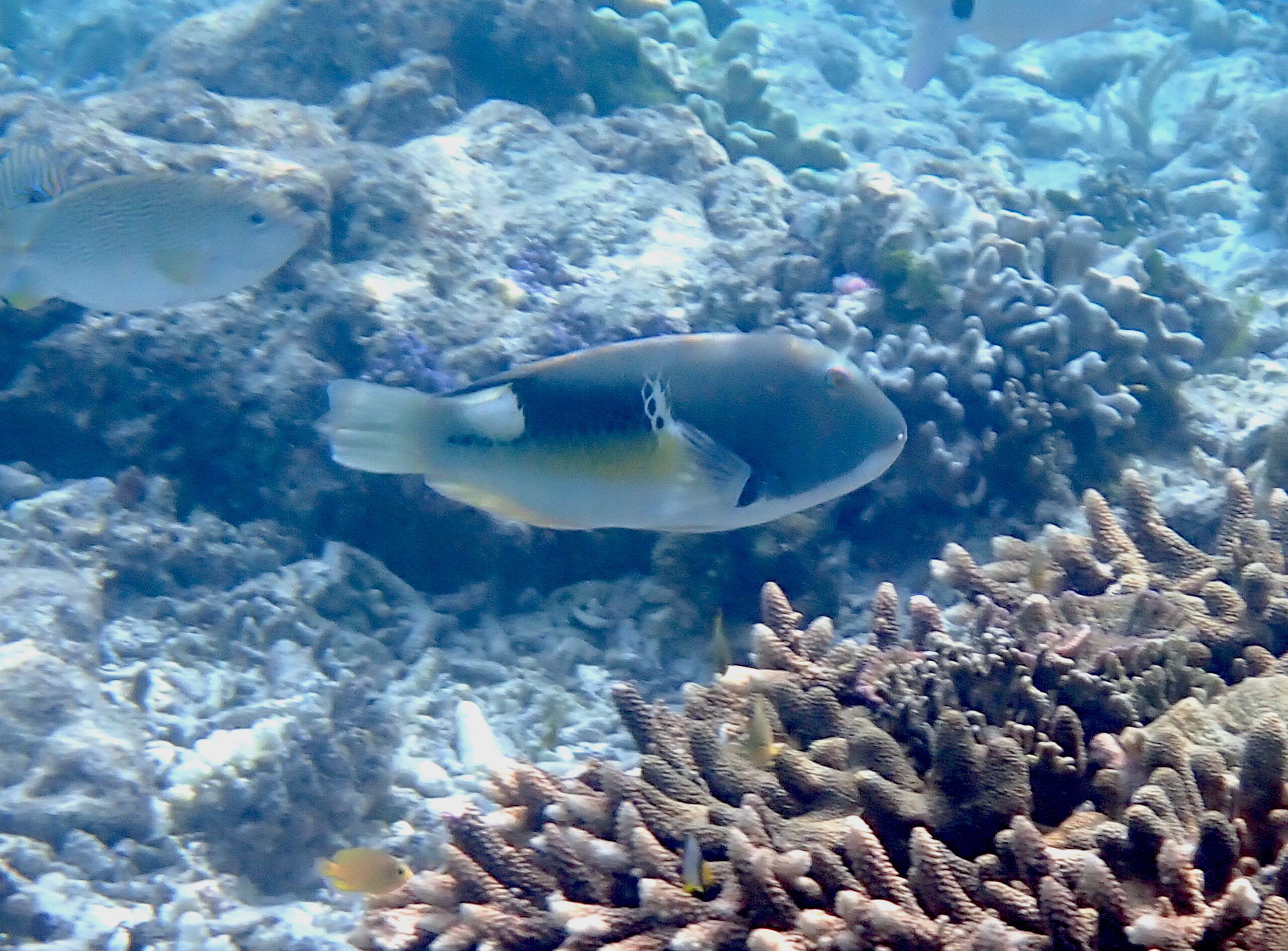
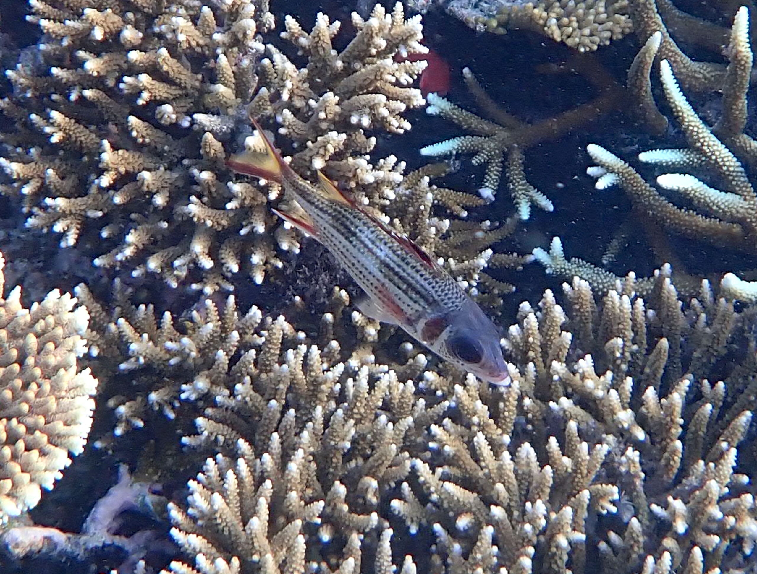
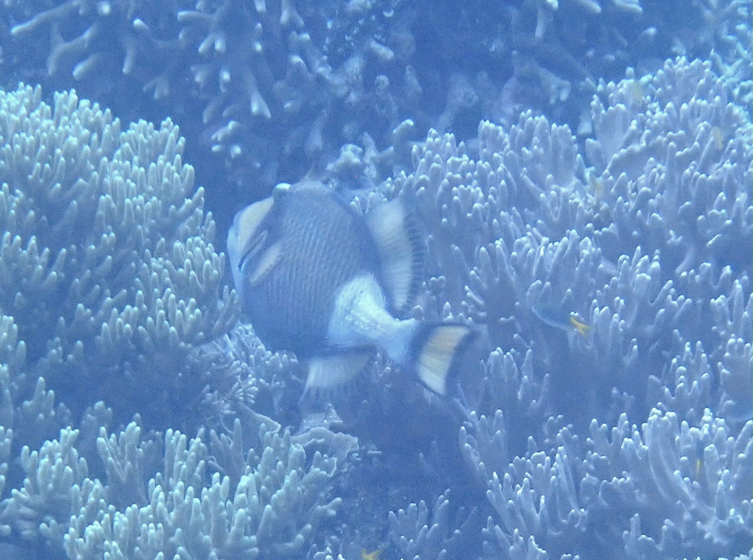
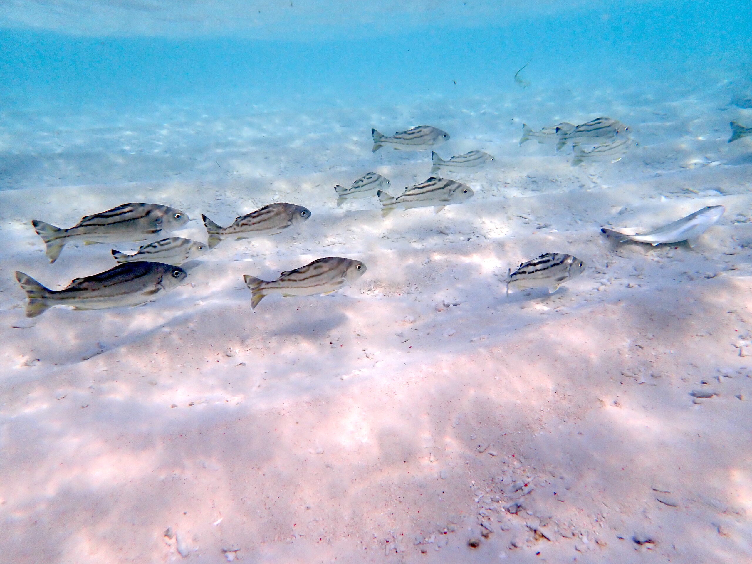
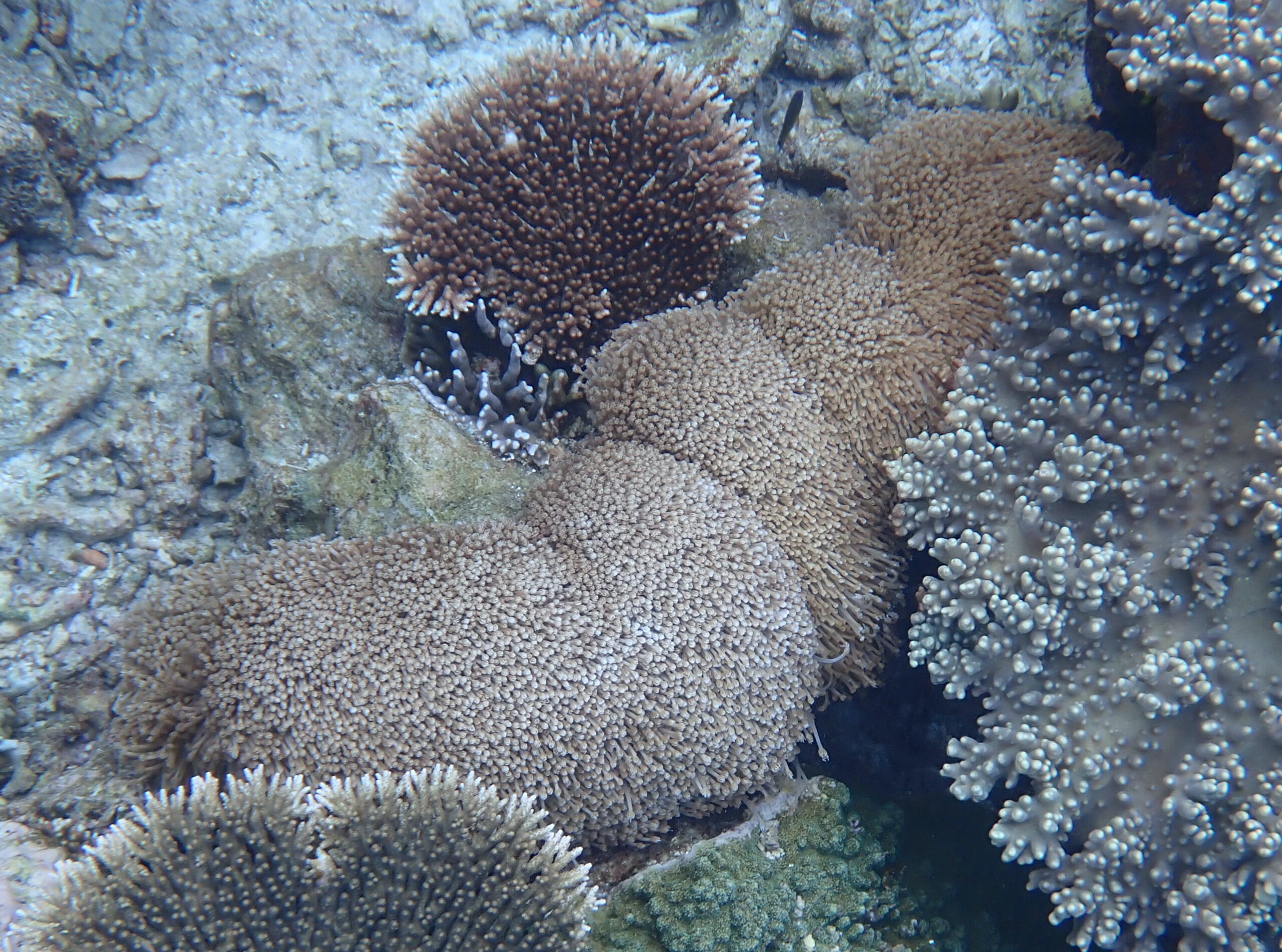
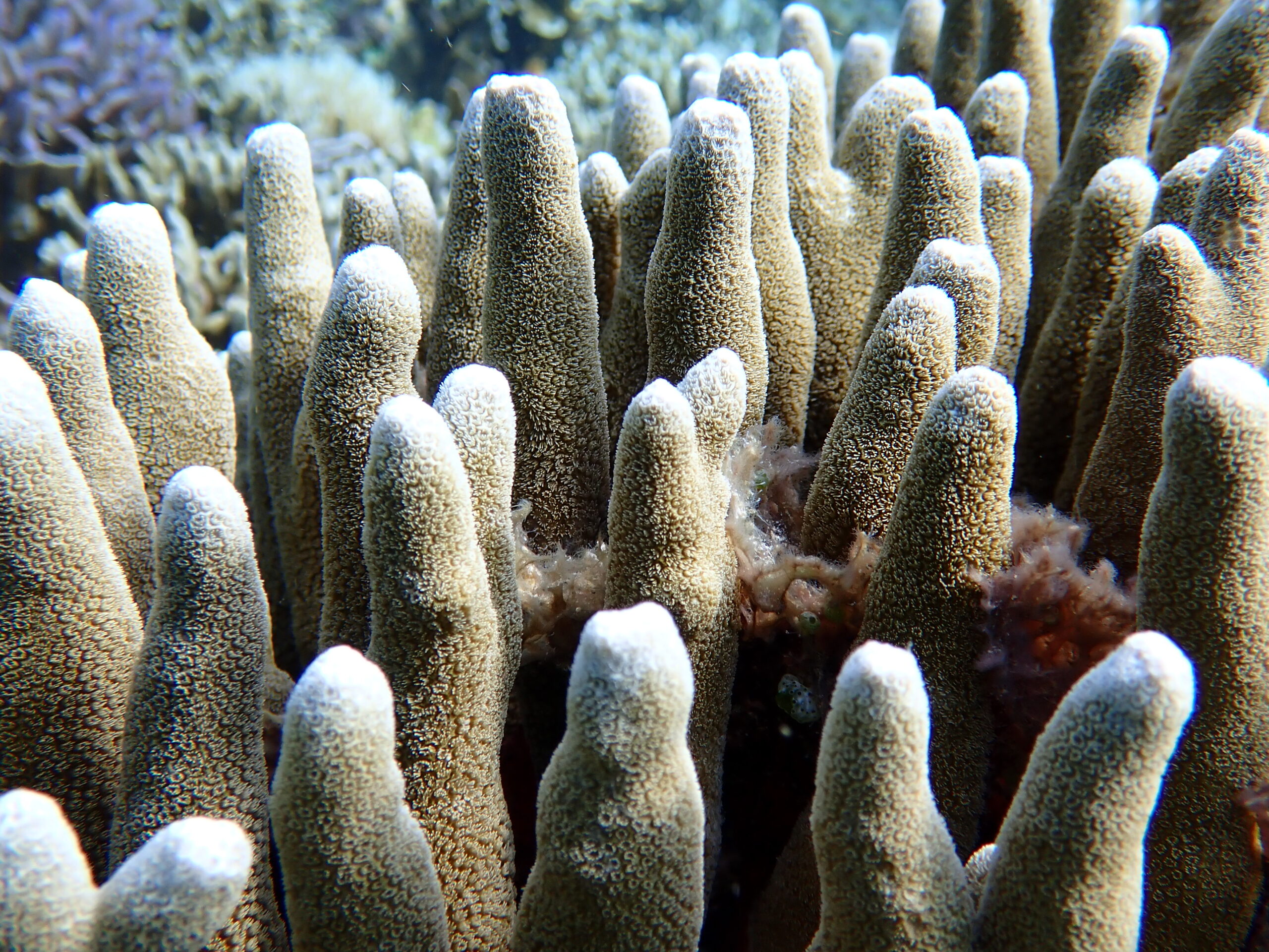
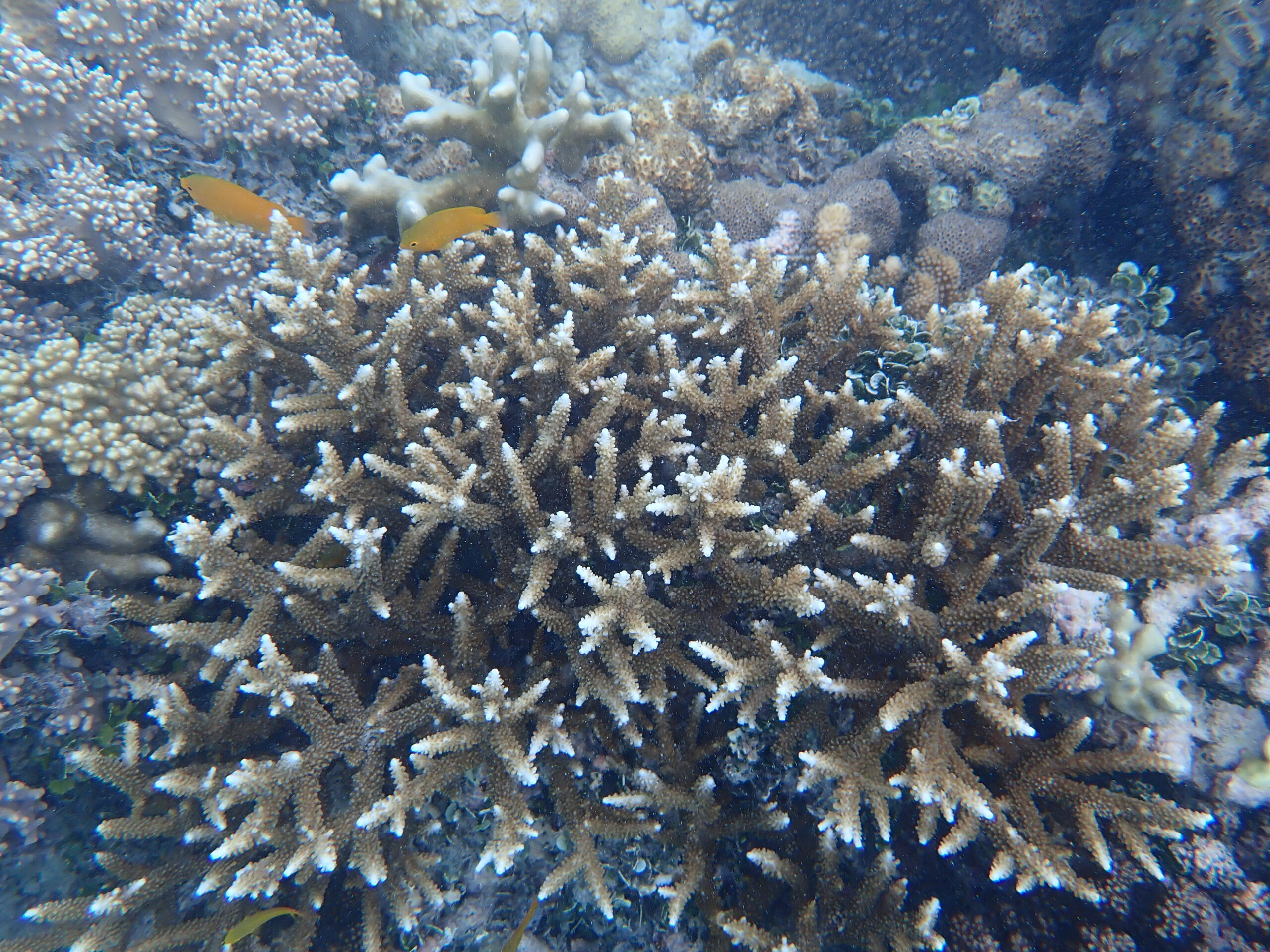
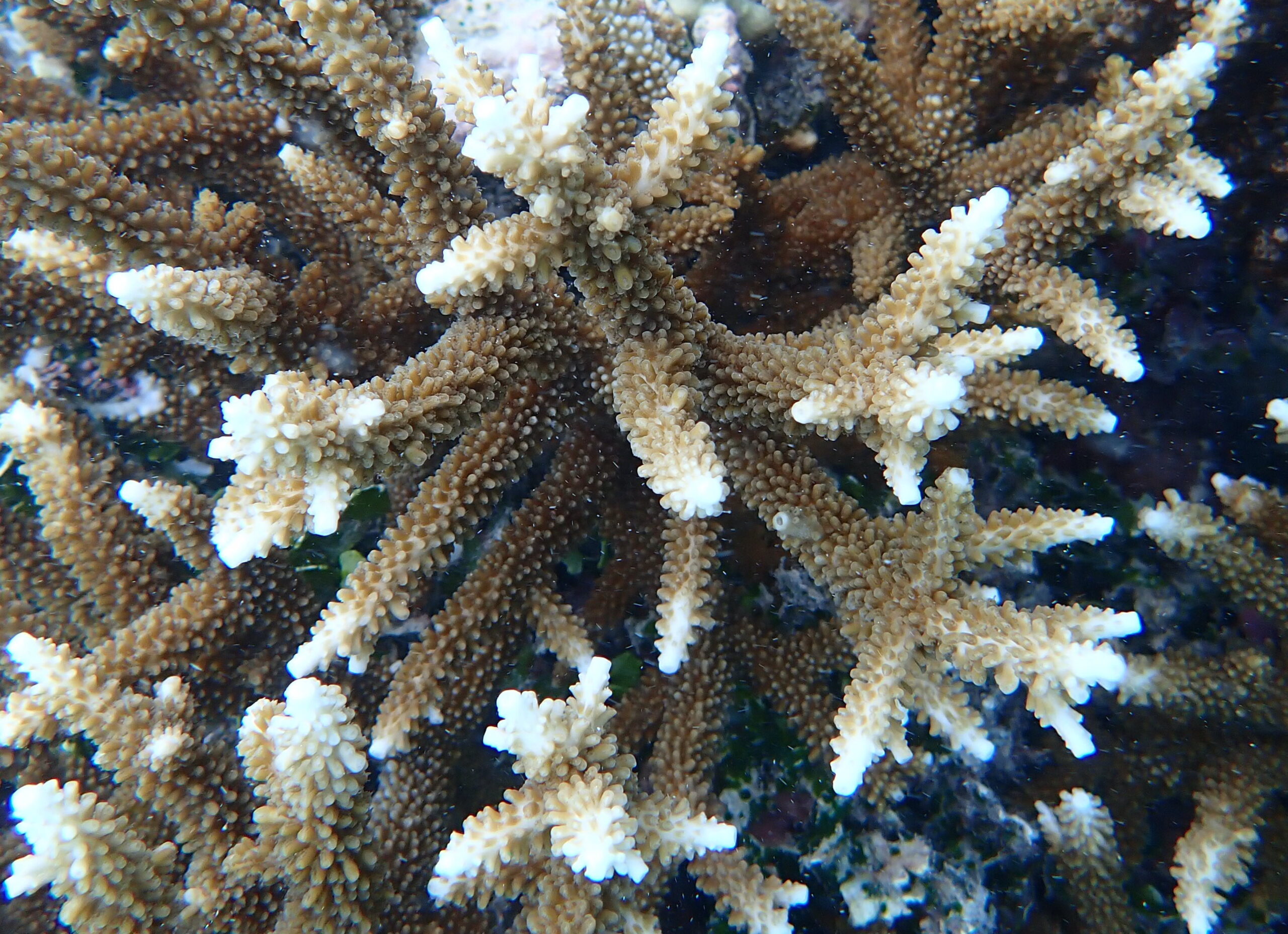
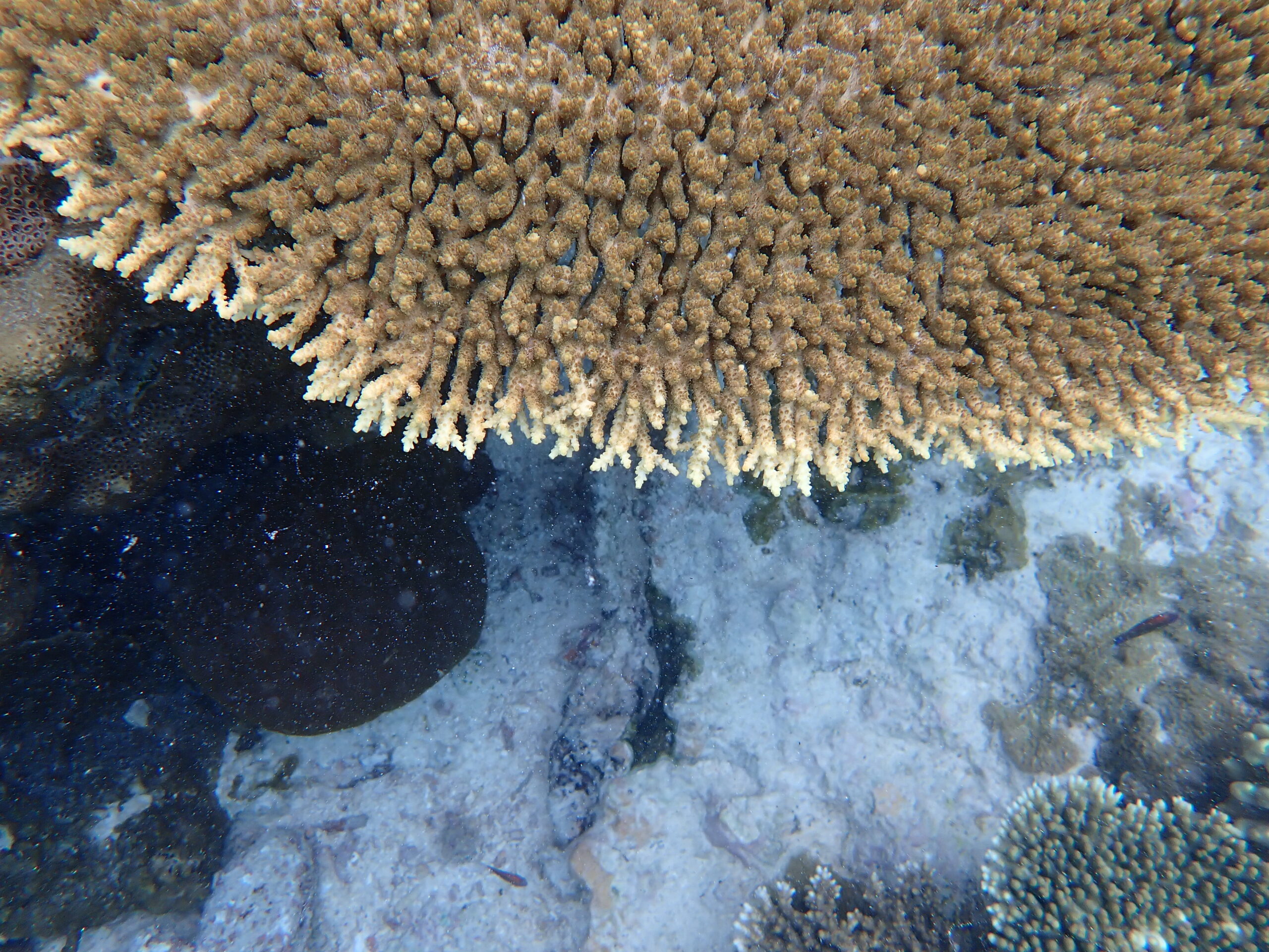
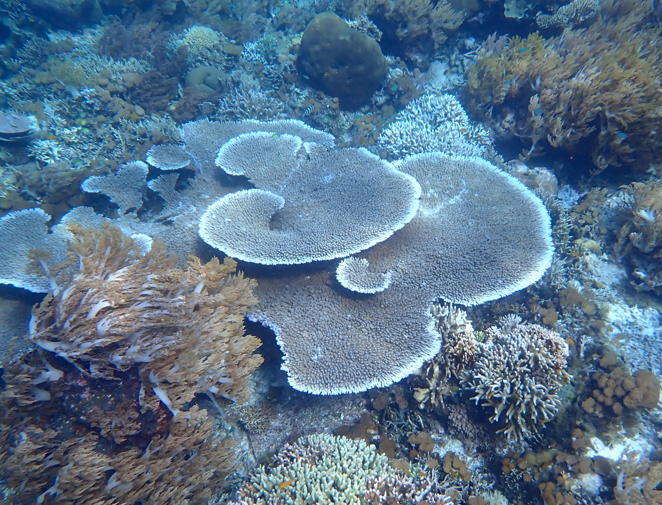
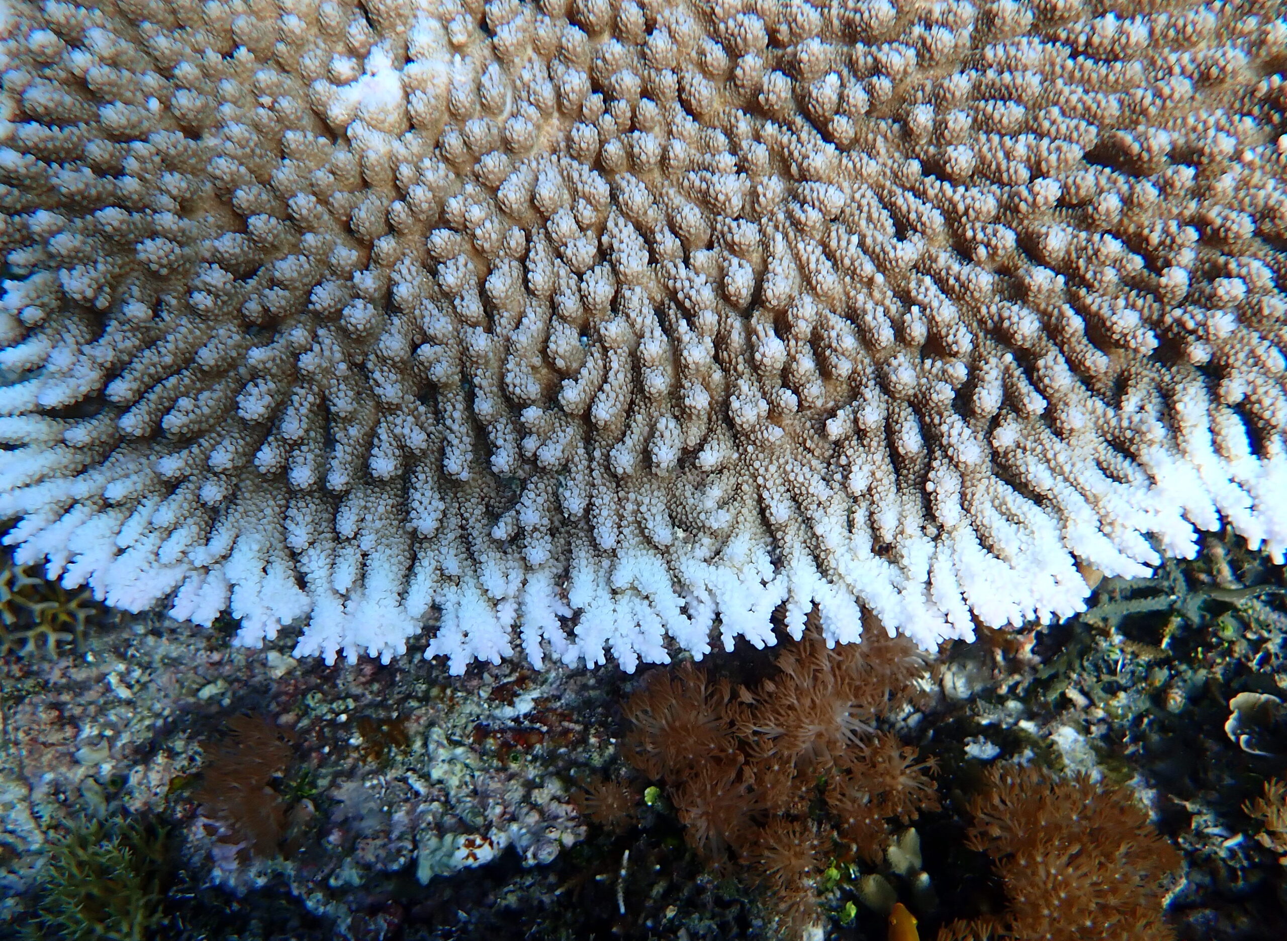
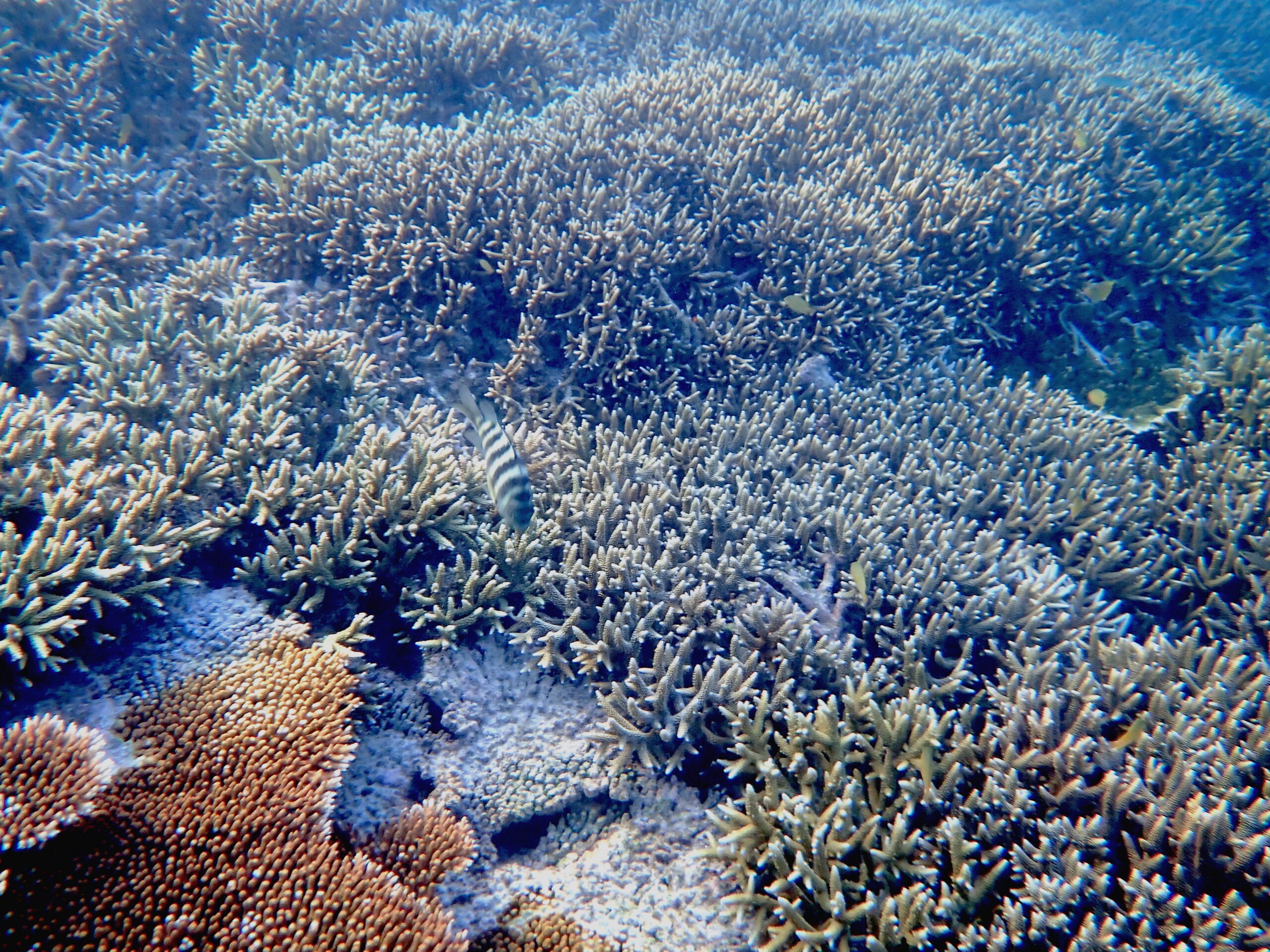
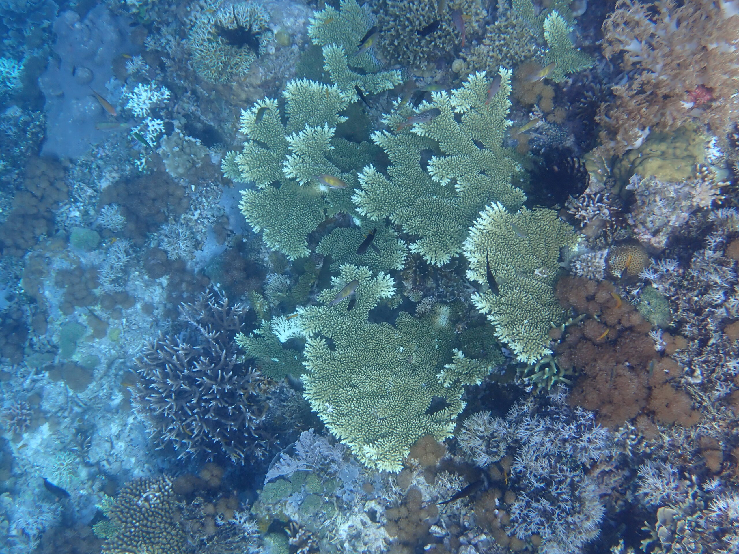
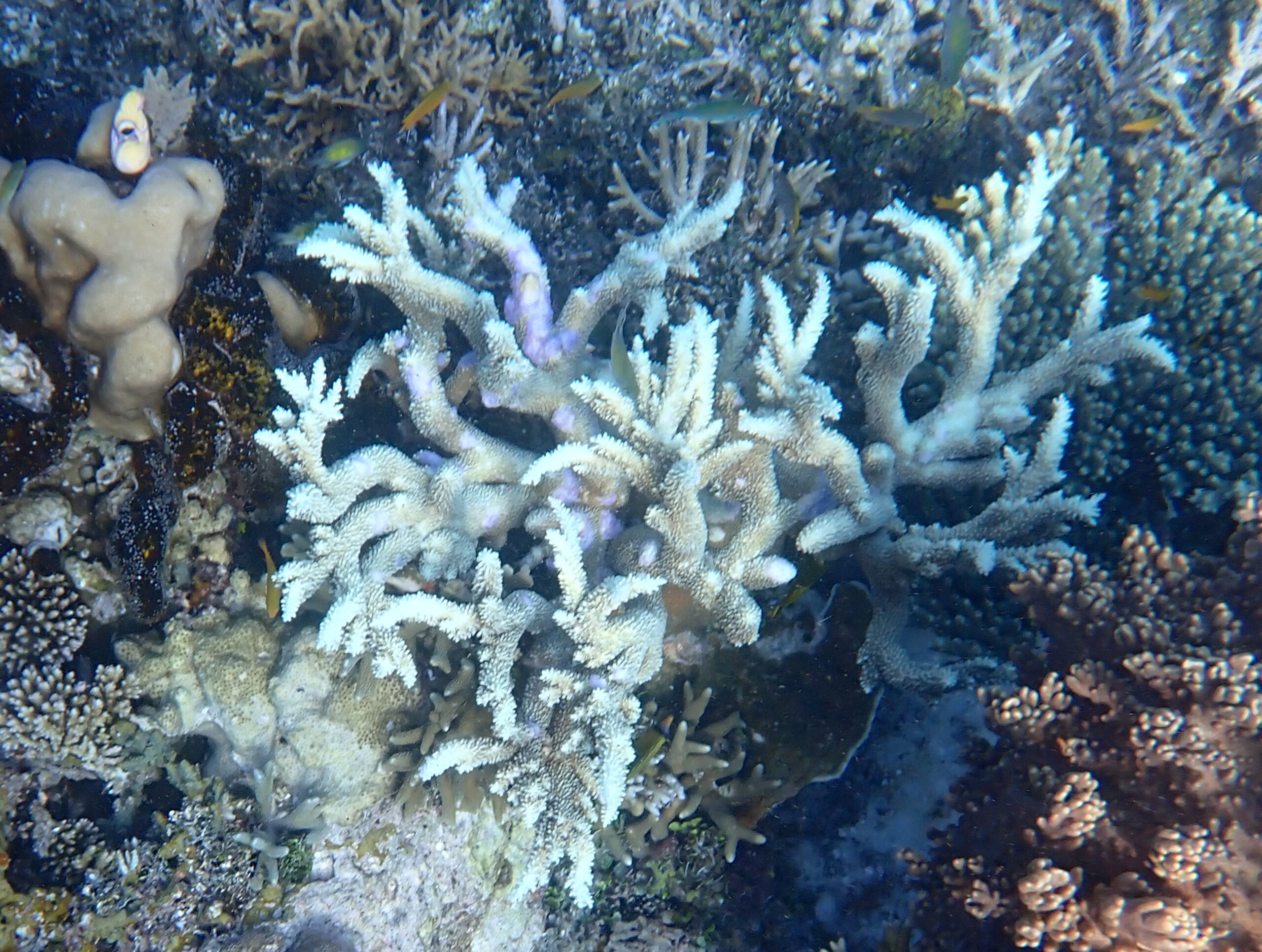
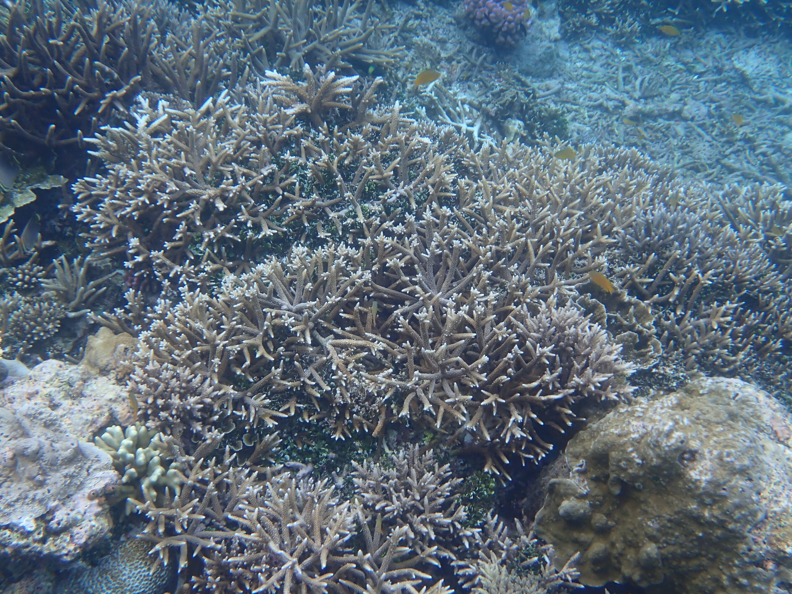
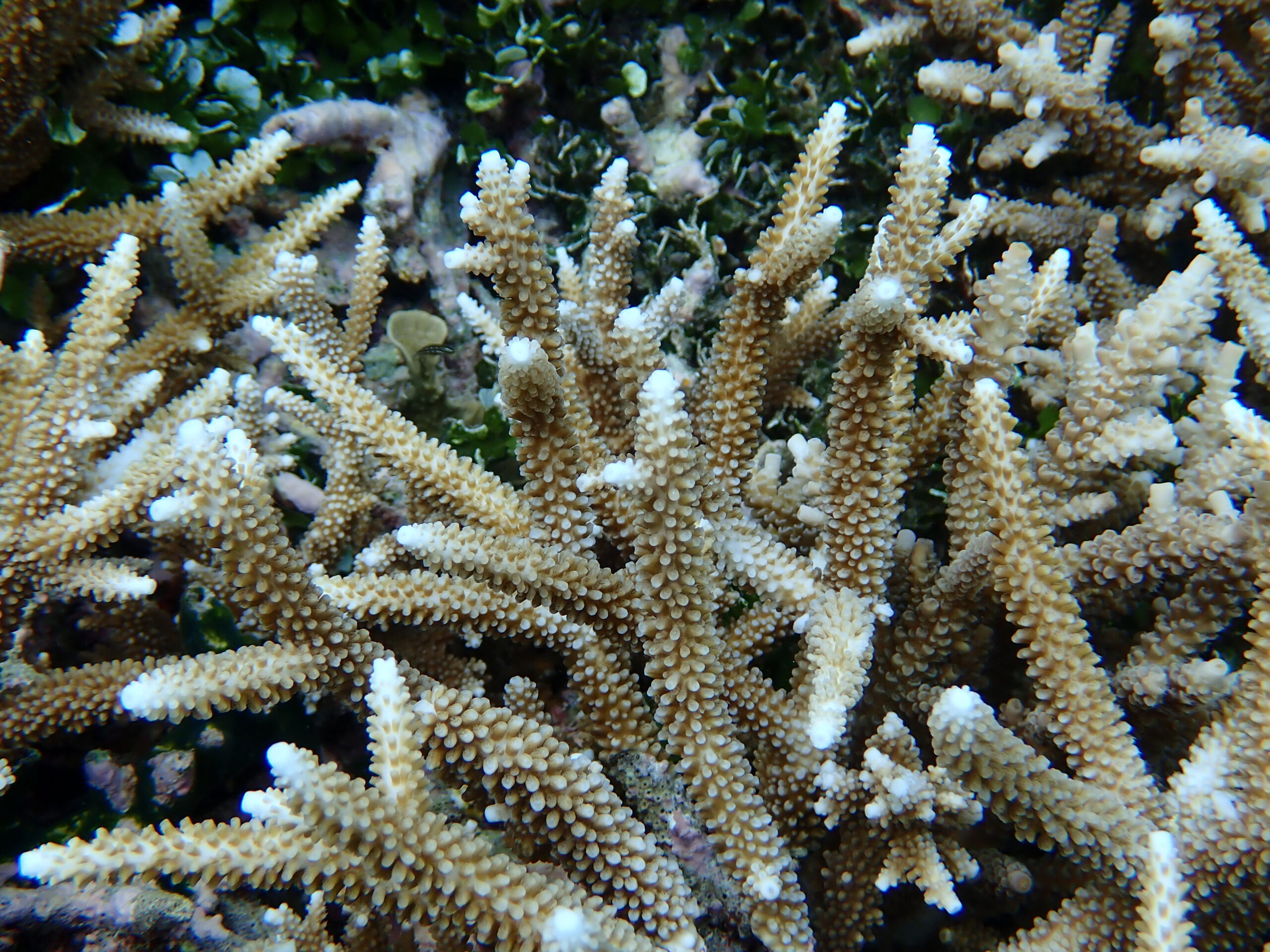
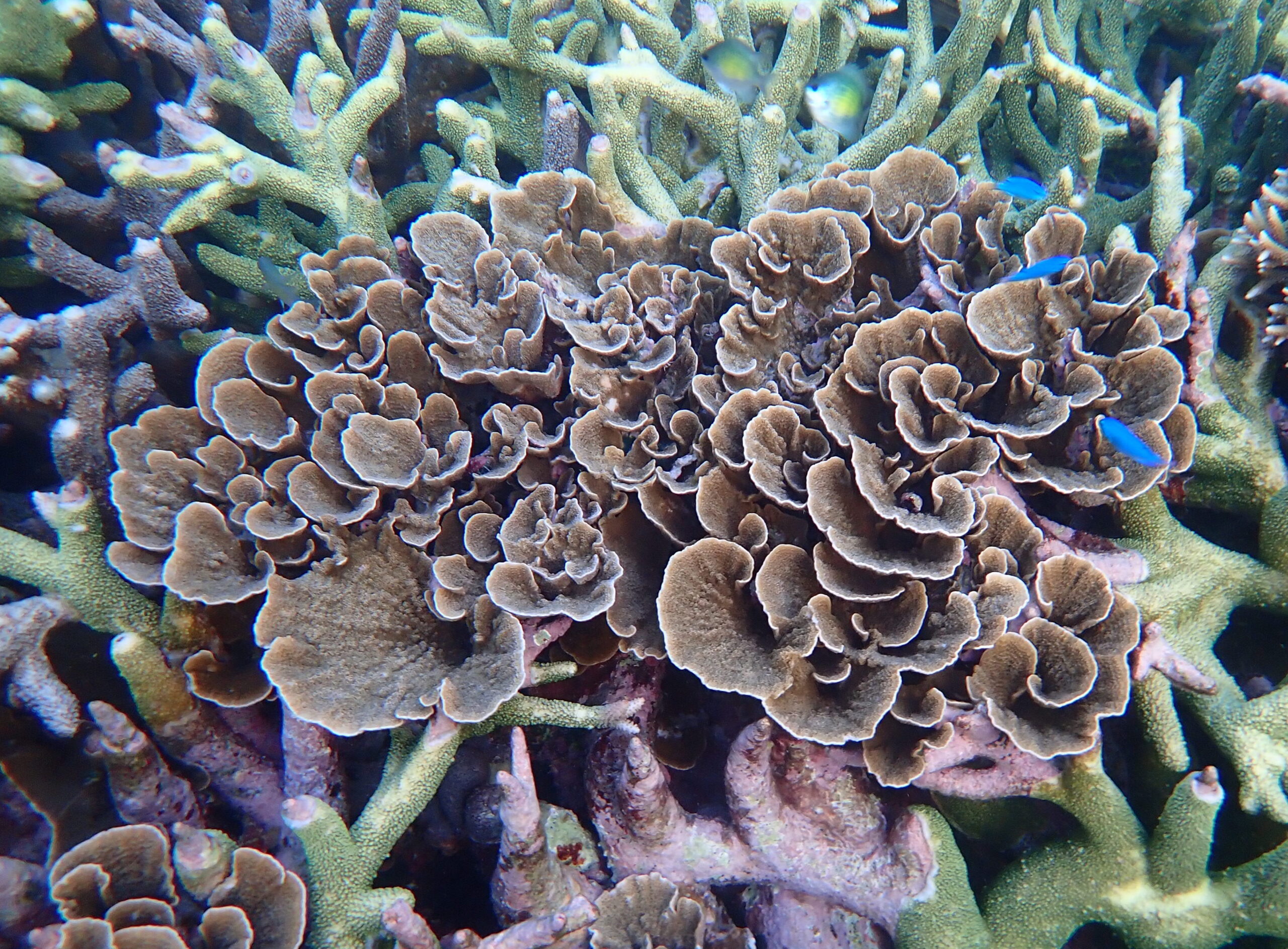
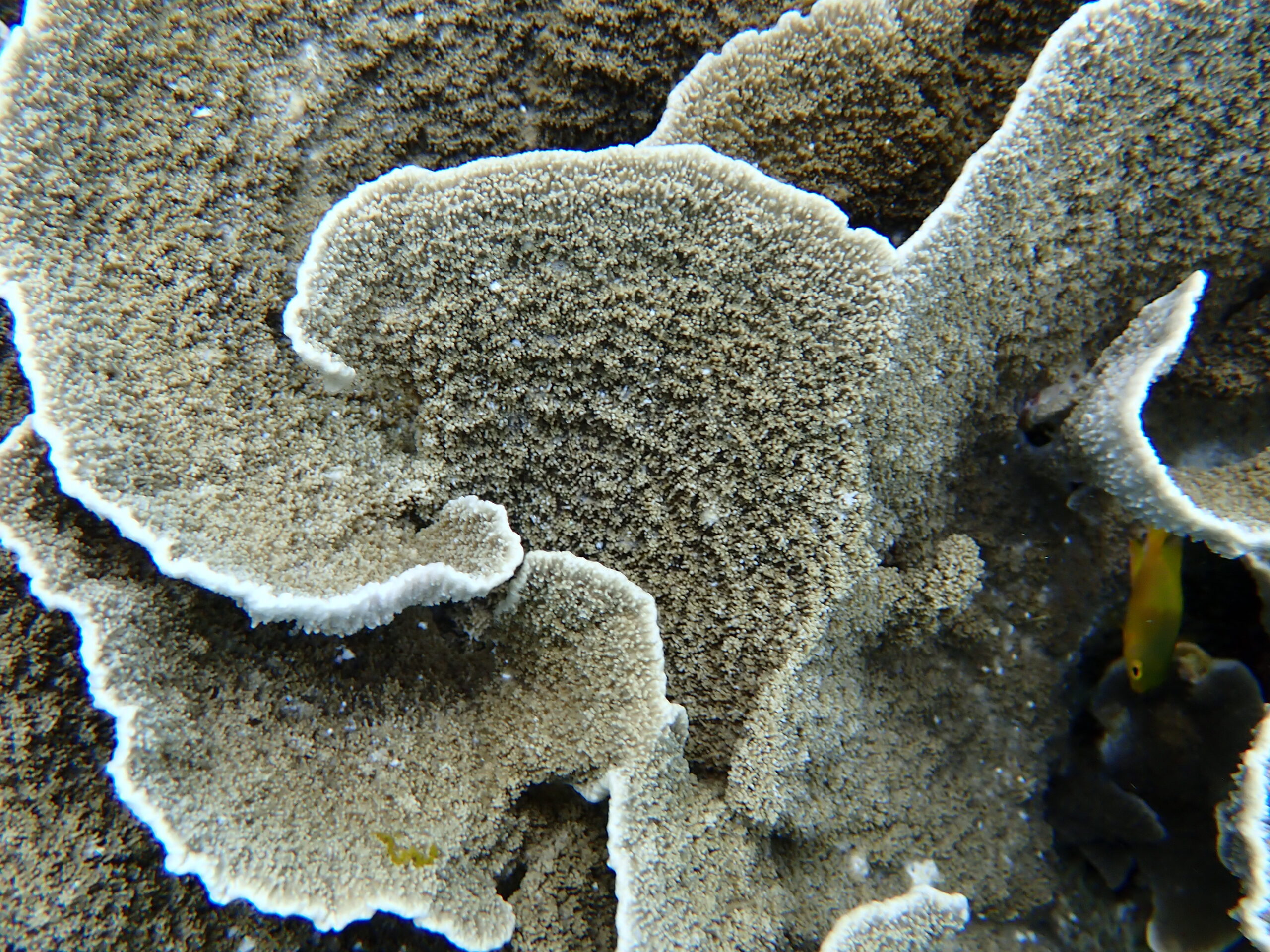
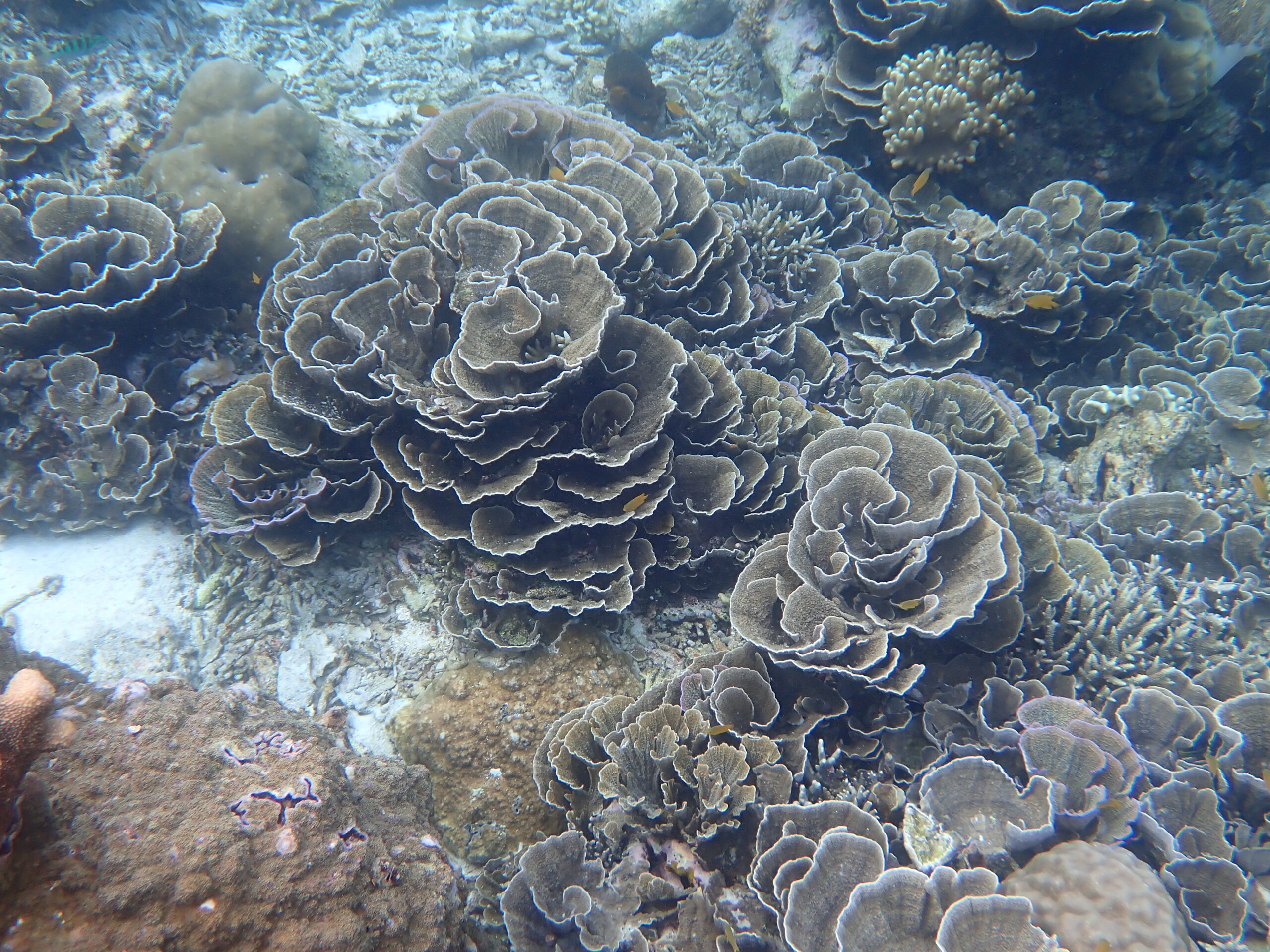
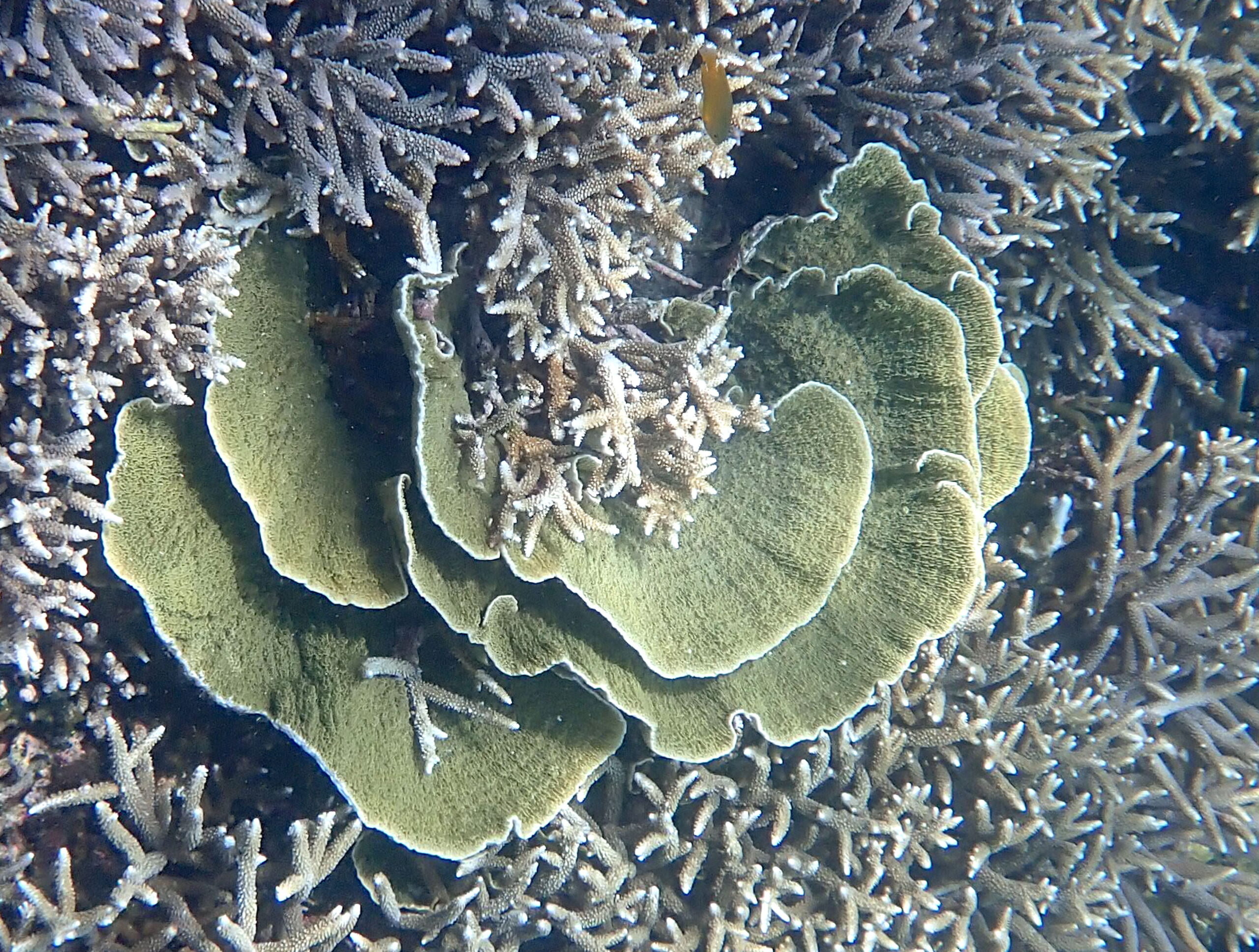
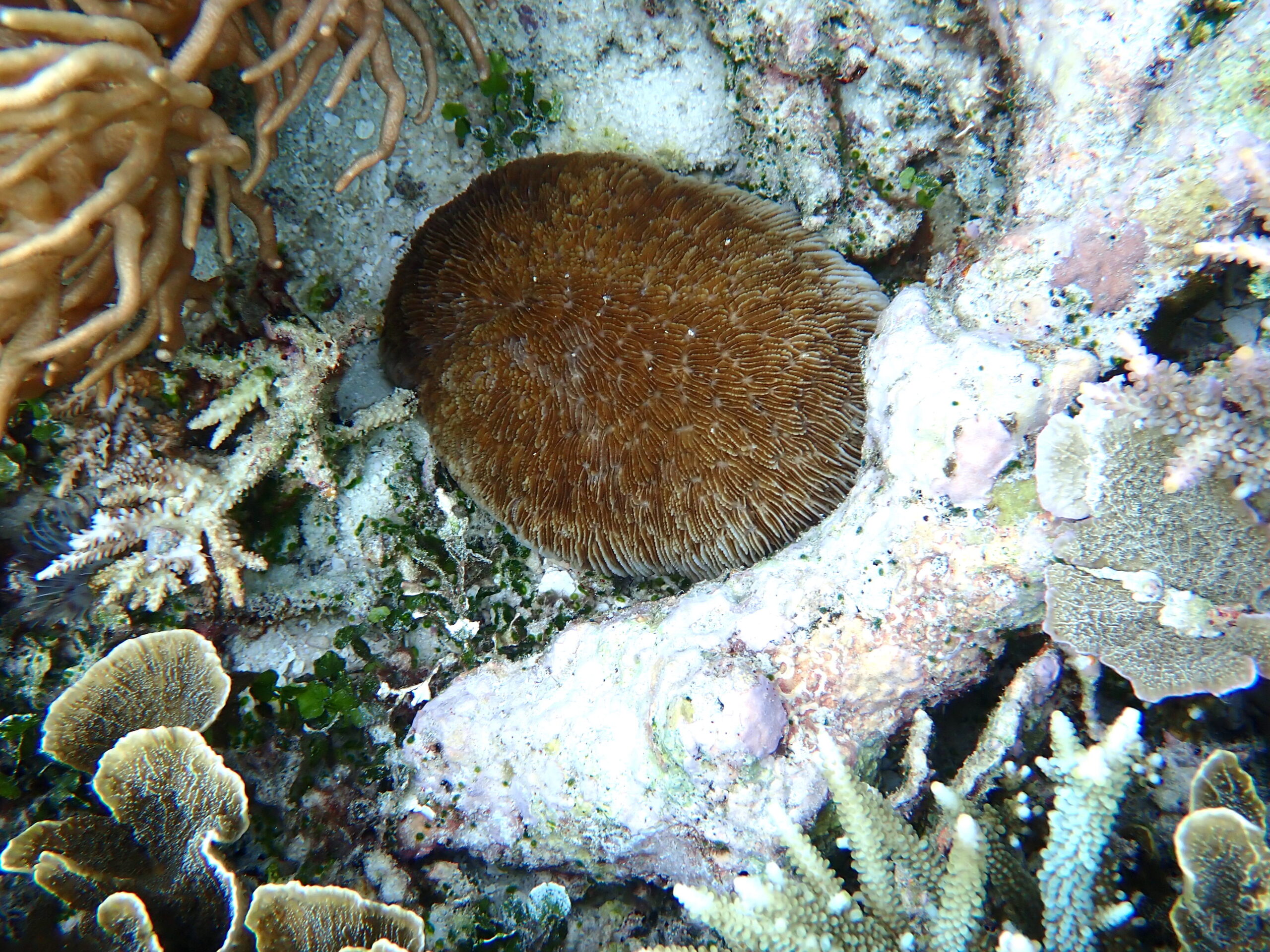
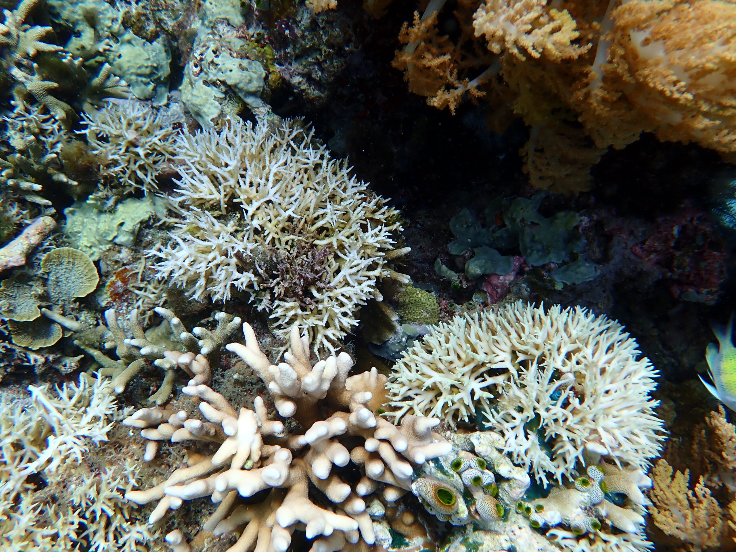
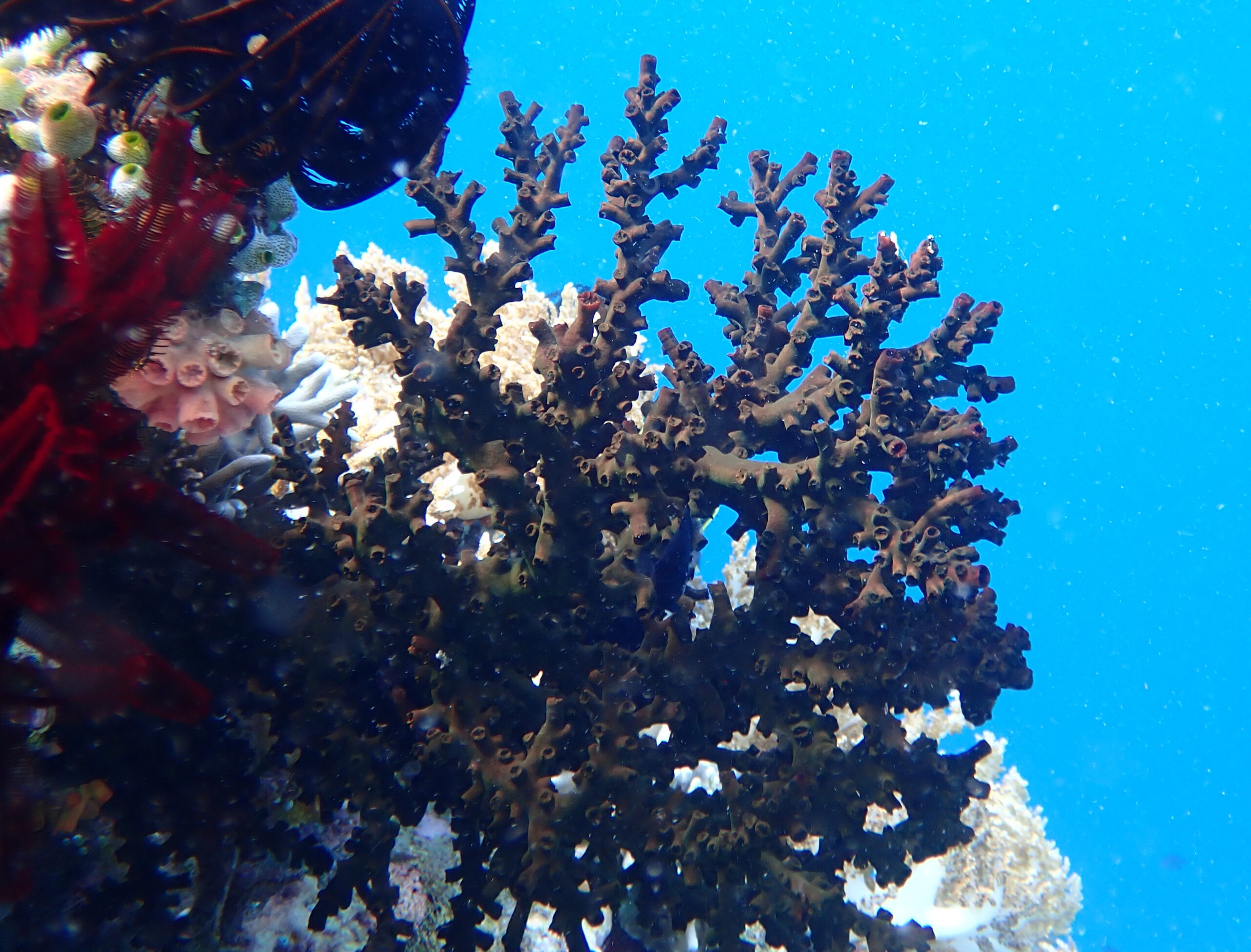
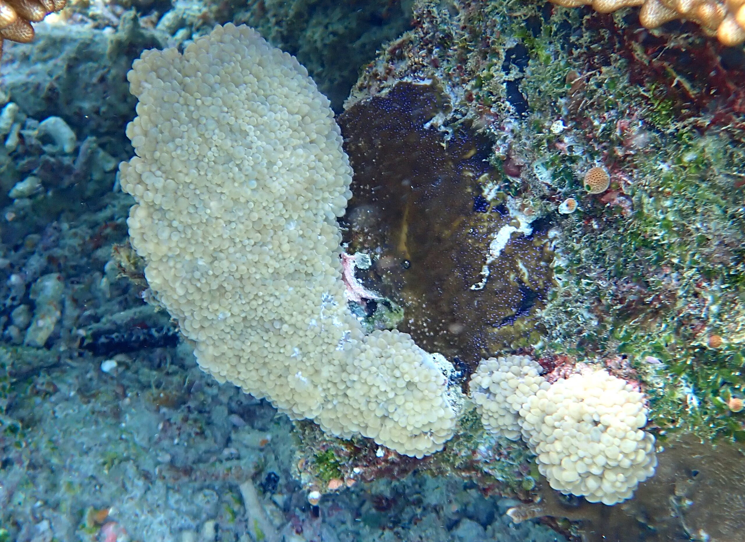
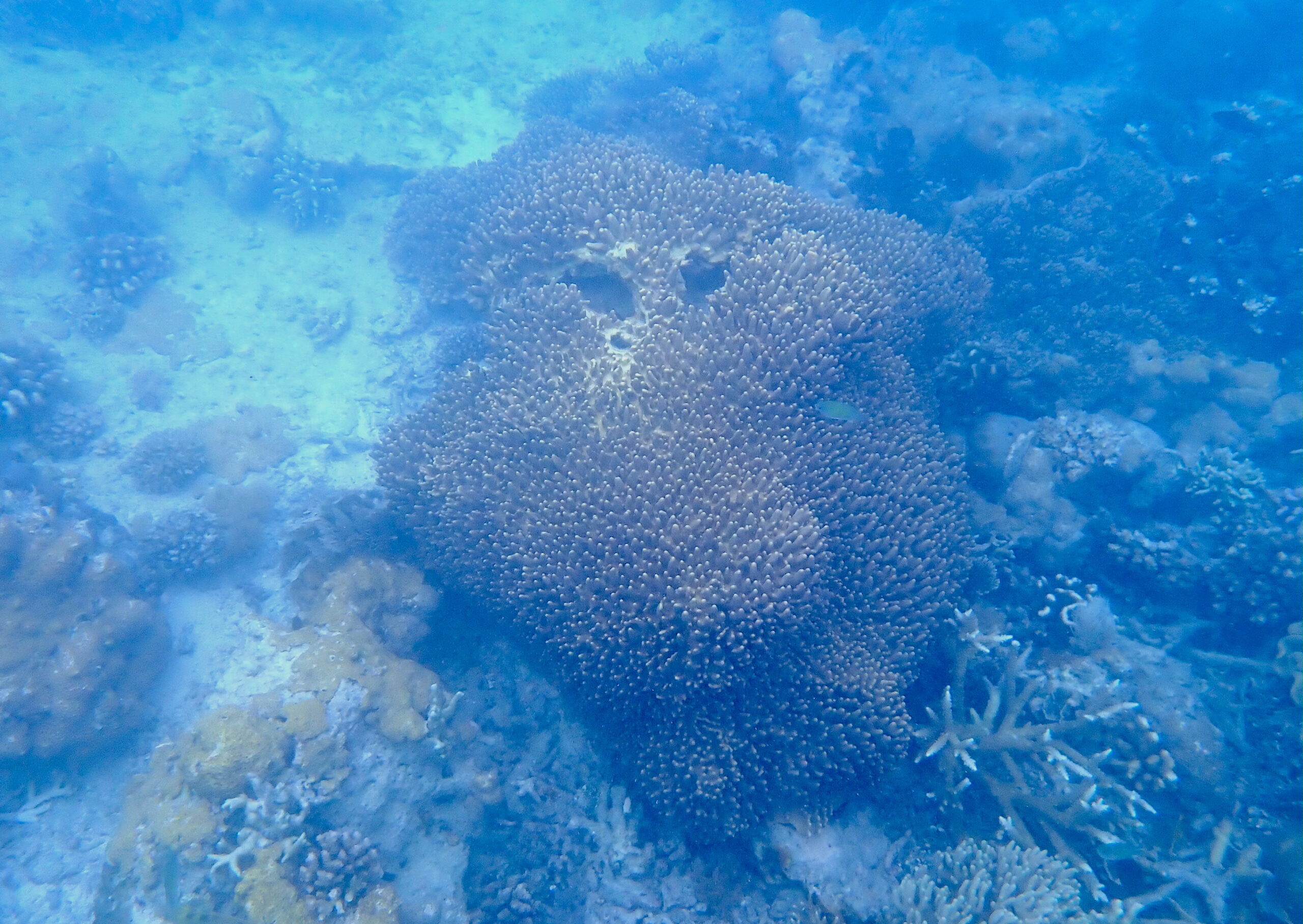
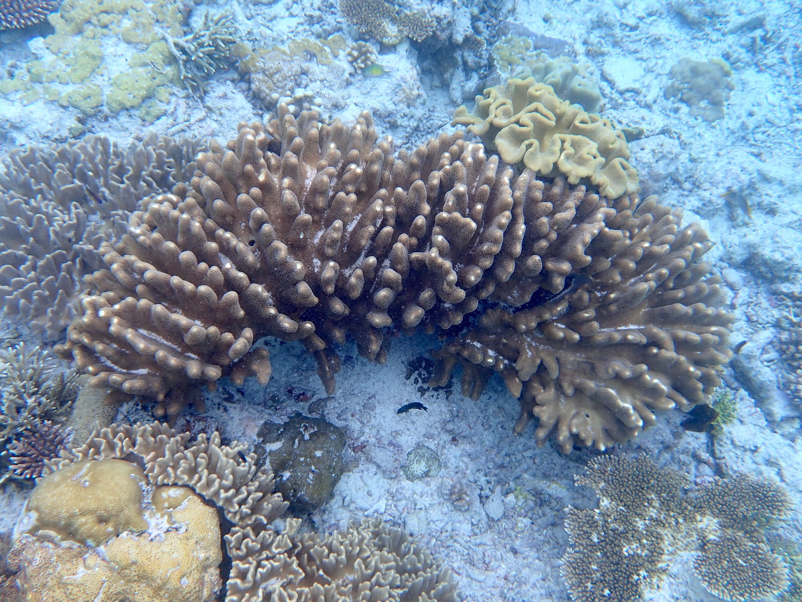
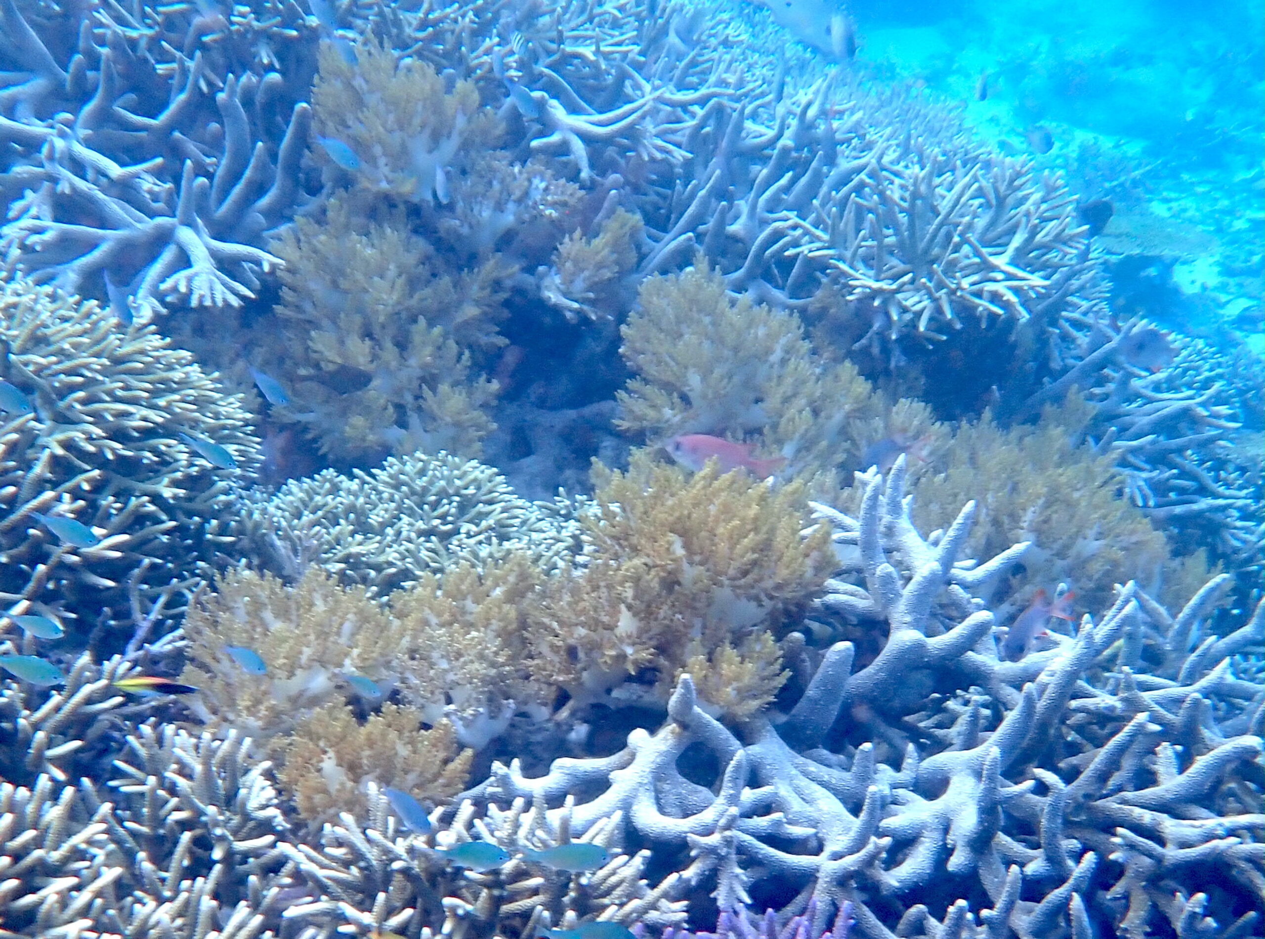
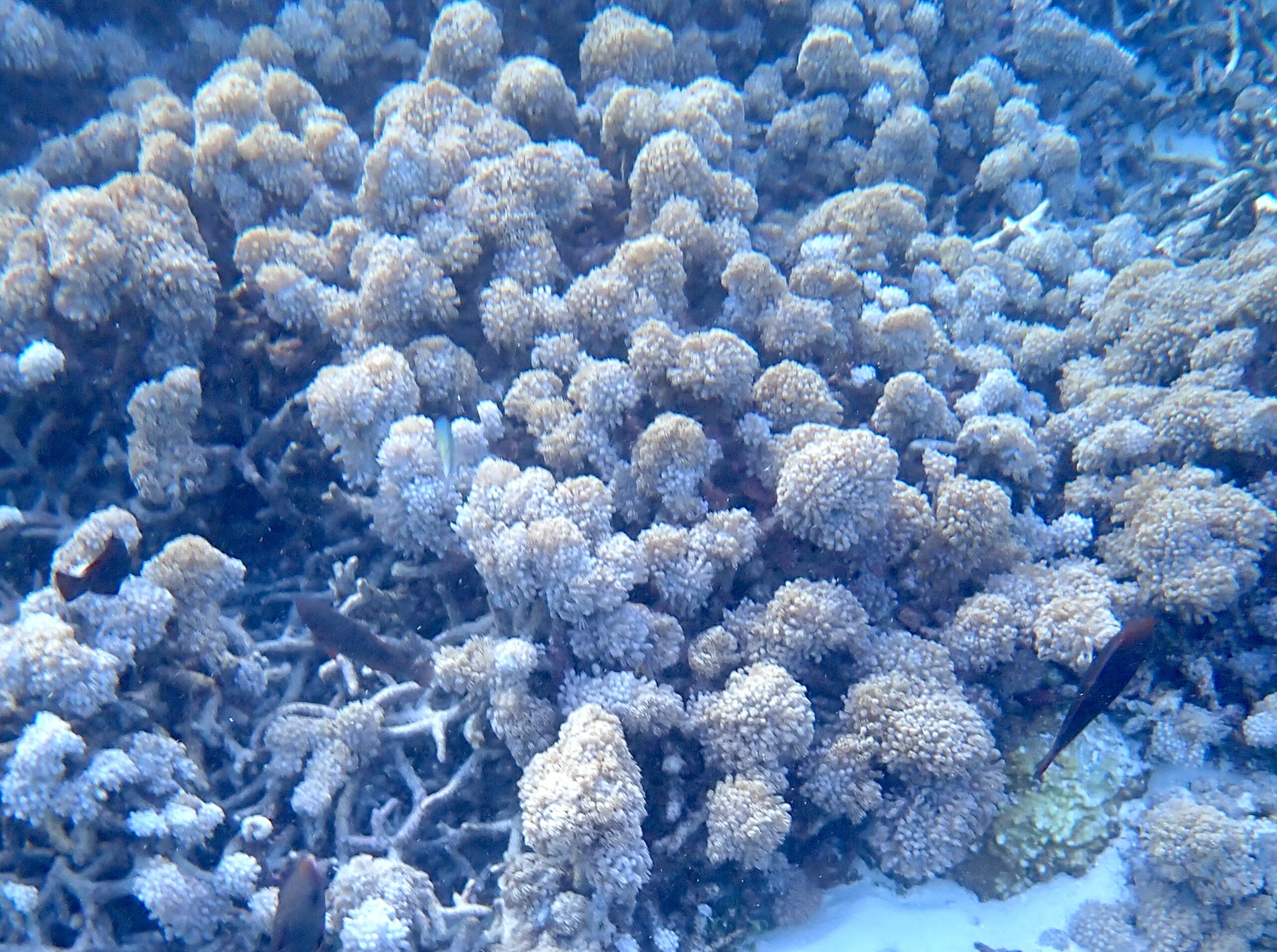
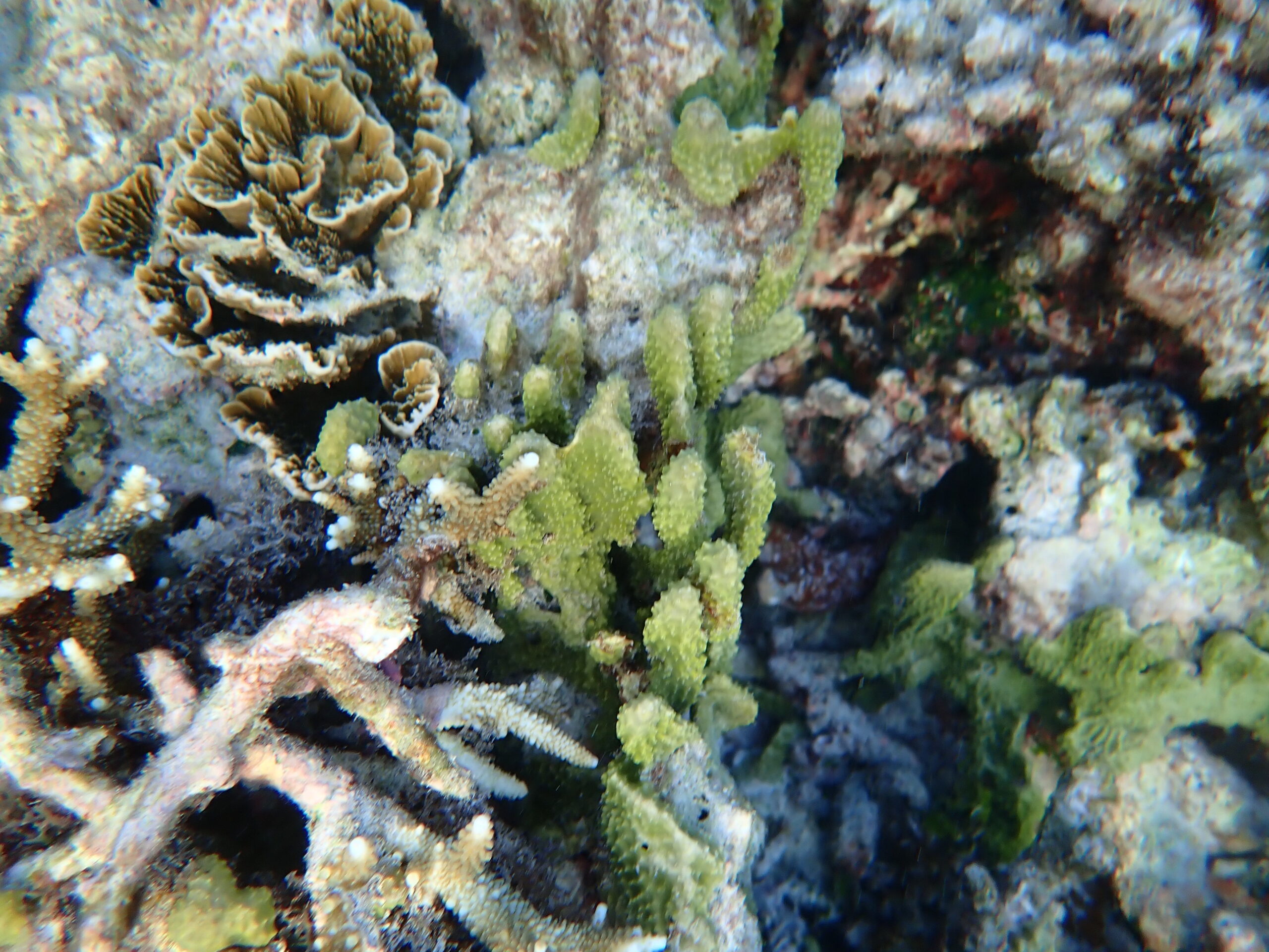
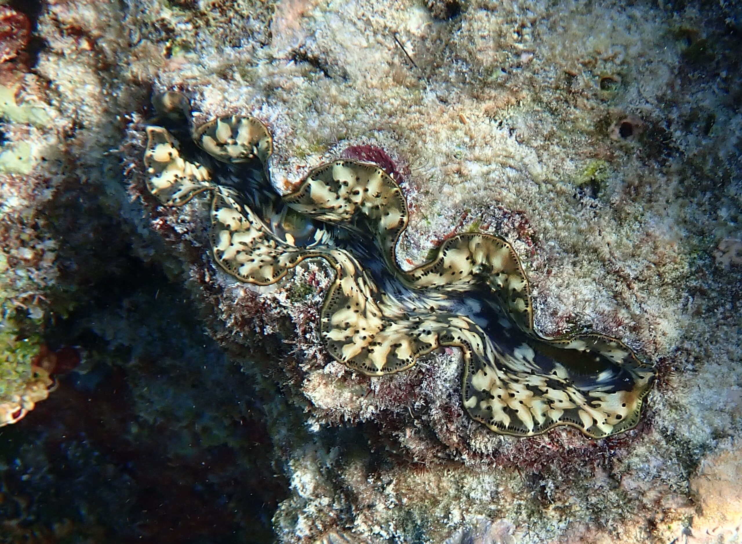
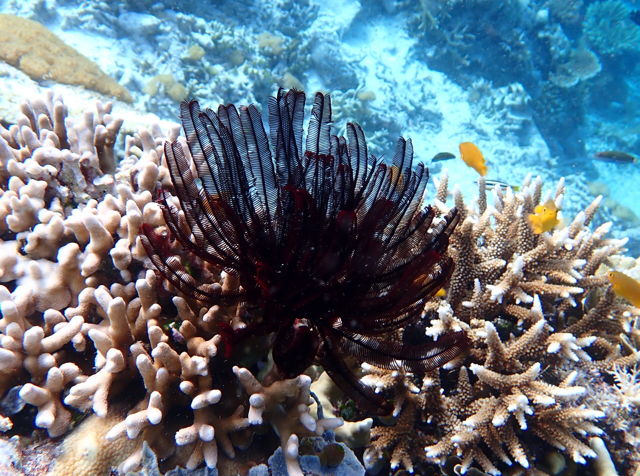
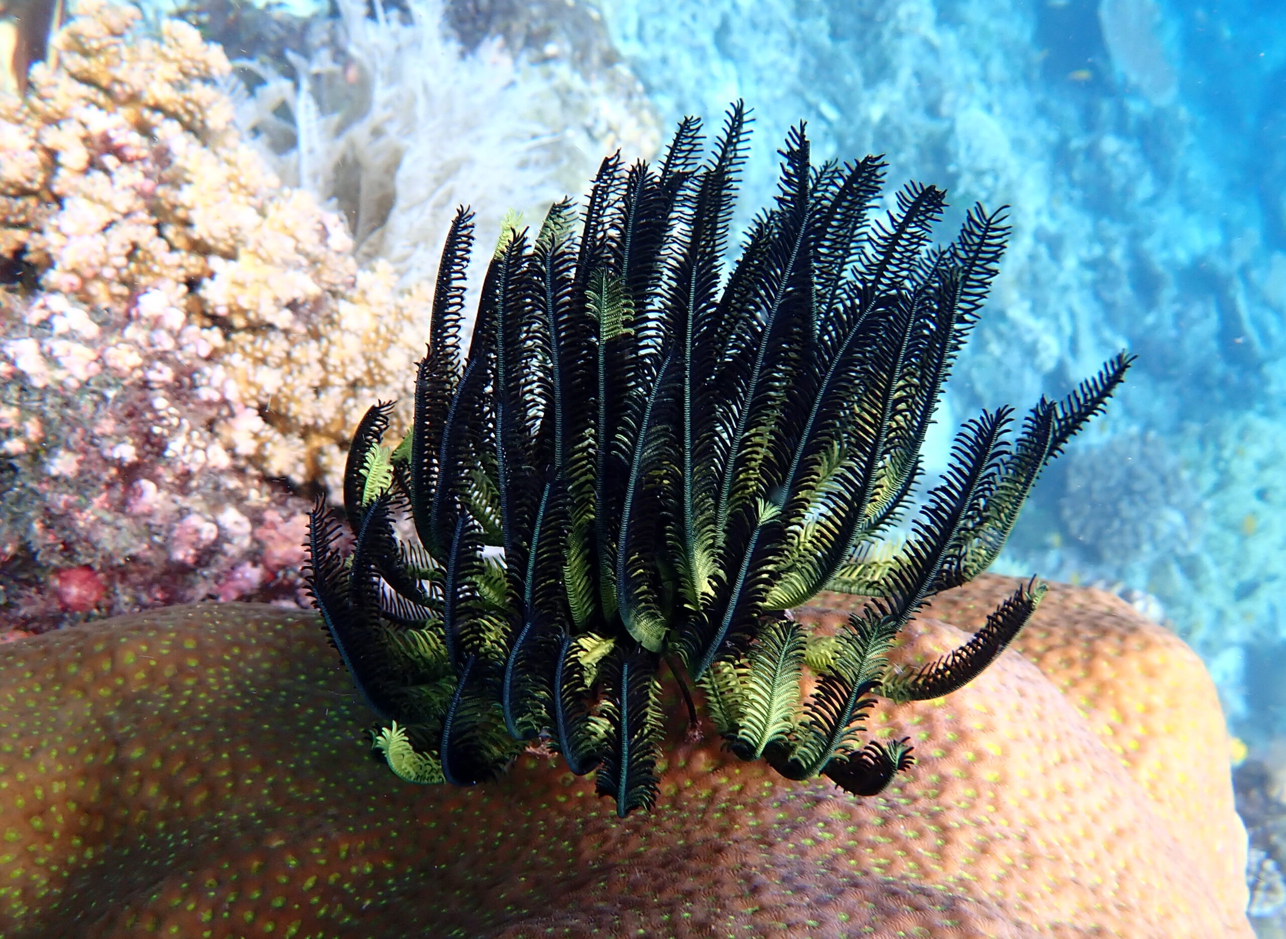
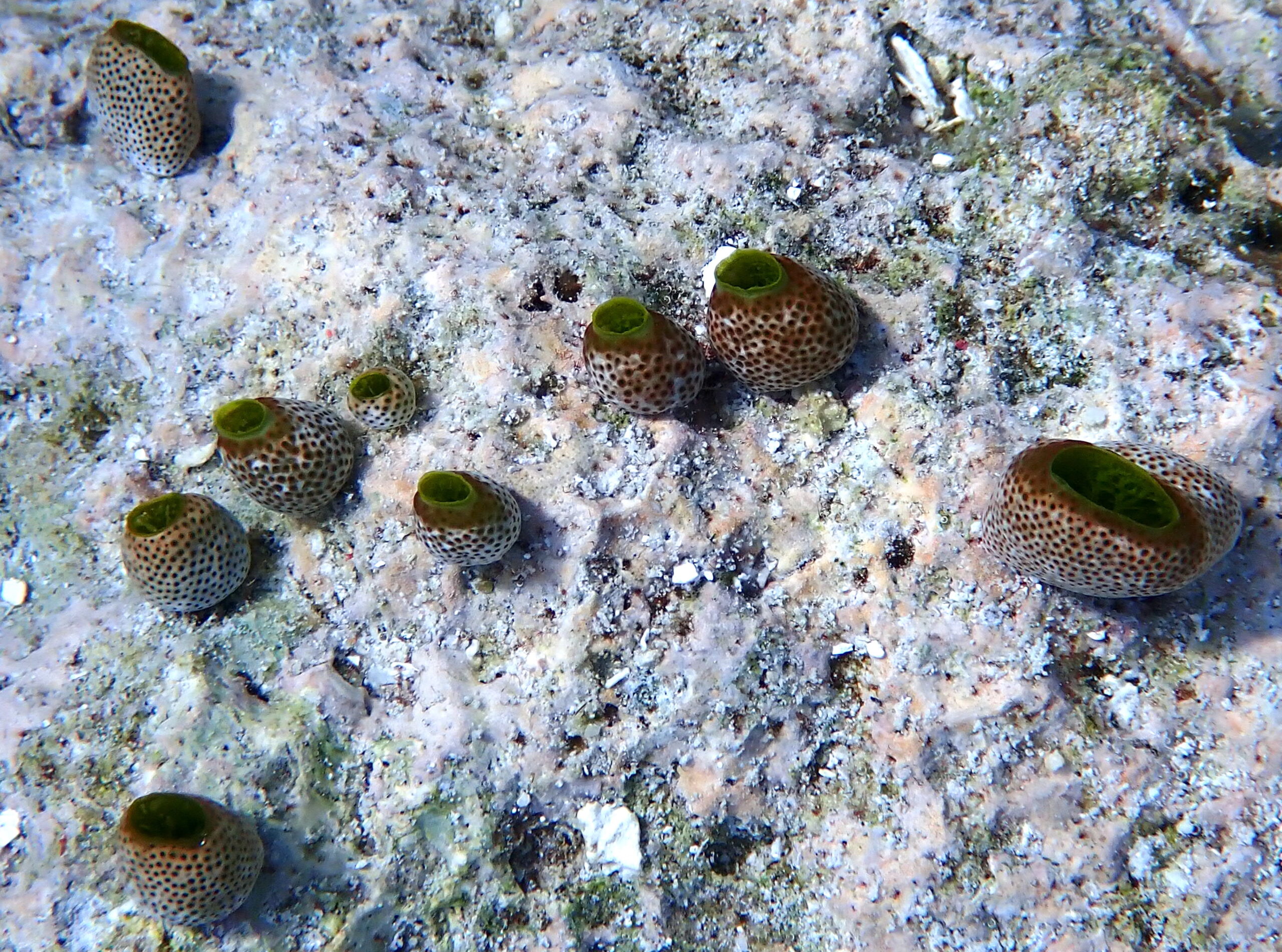
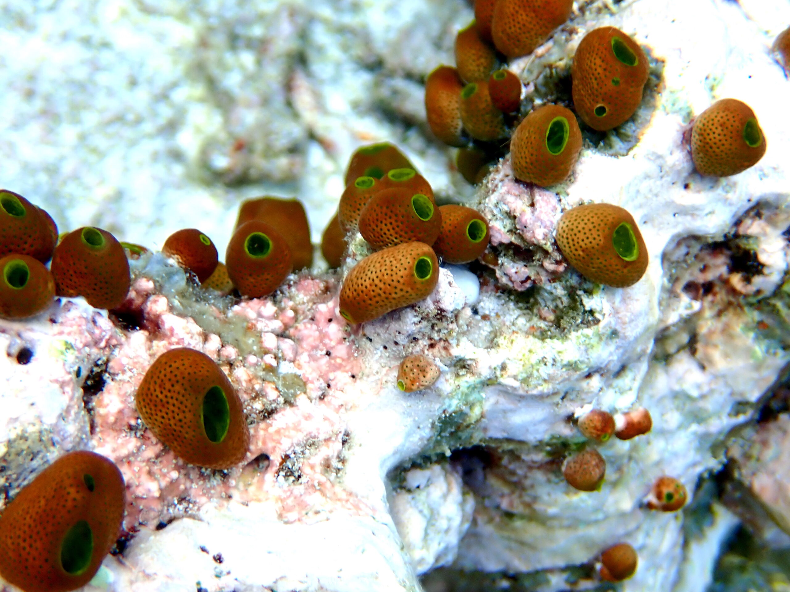
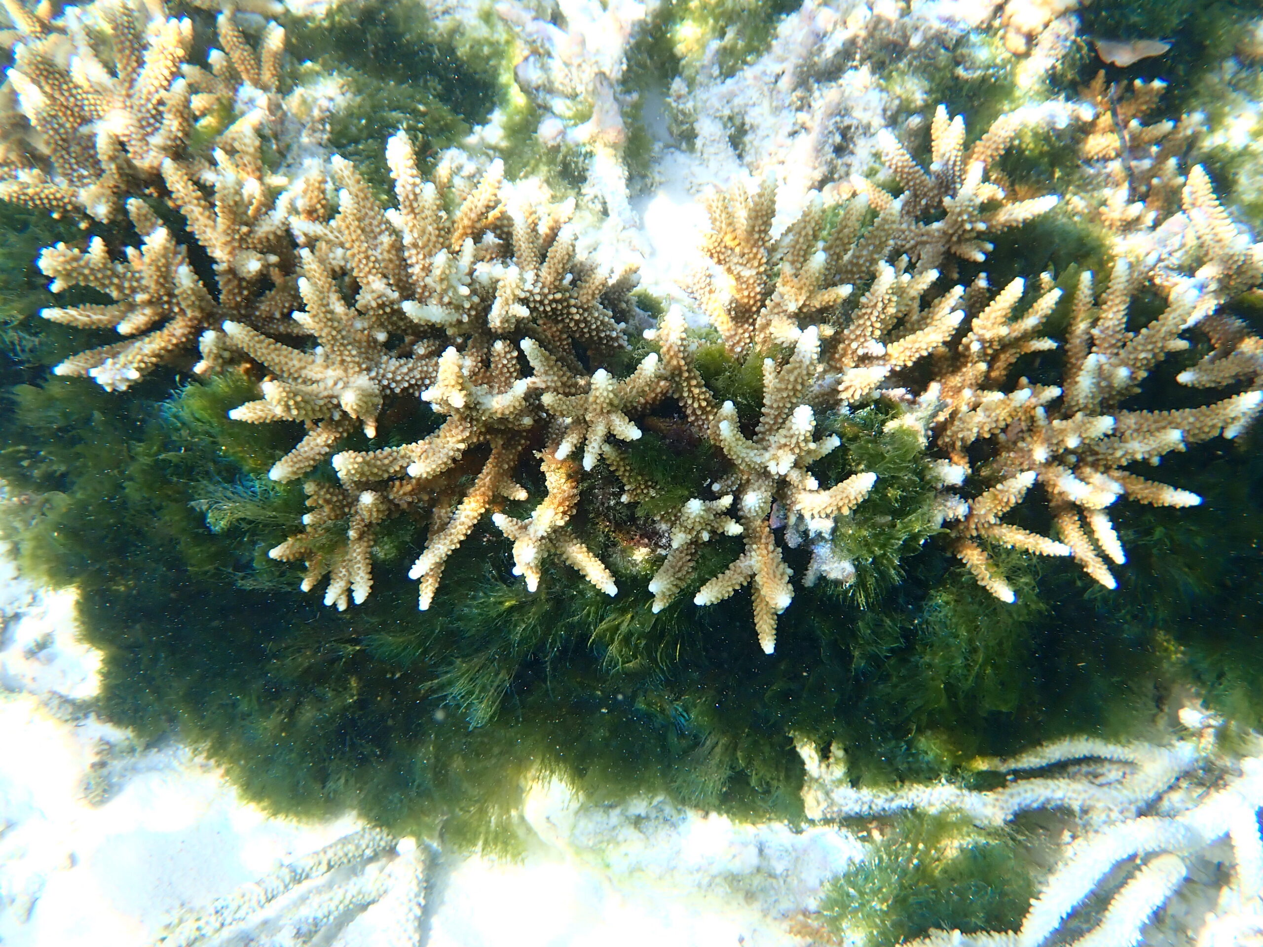
To the south of the reef you will be able to find good example of both tabular and branching Acropora species. The branching species dominate the shallow waters and create a barrier to returning to shore.
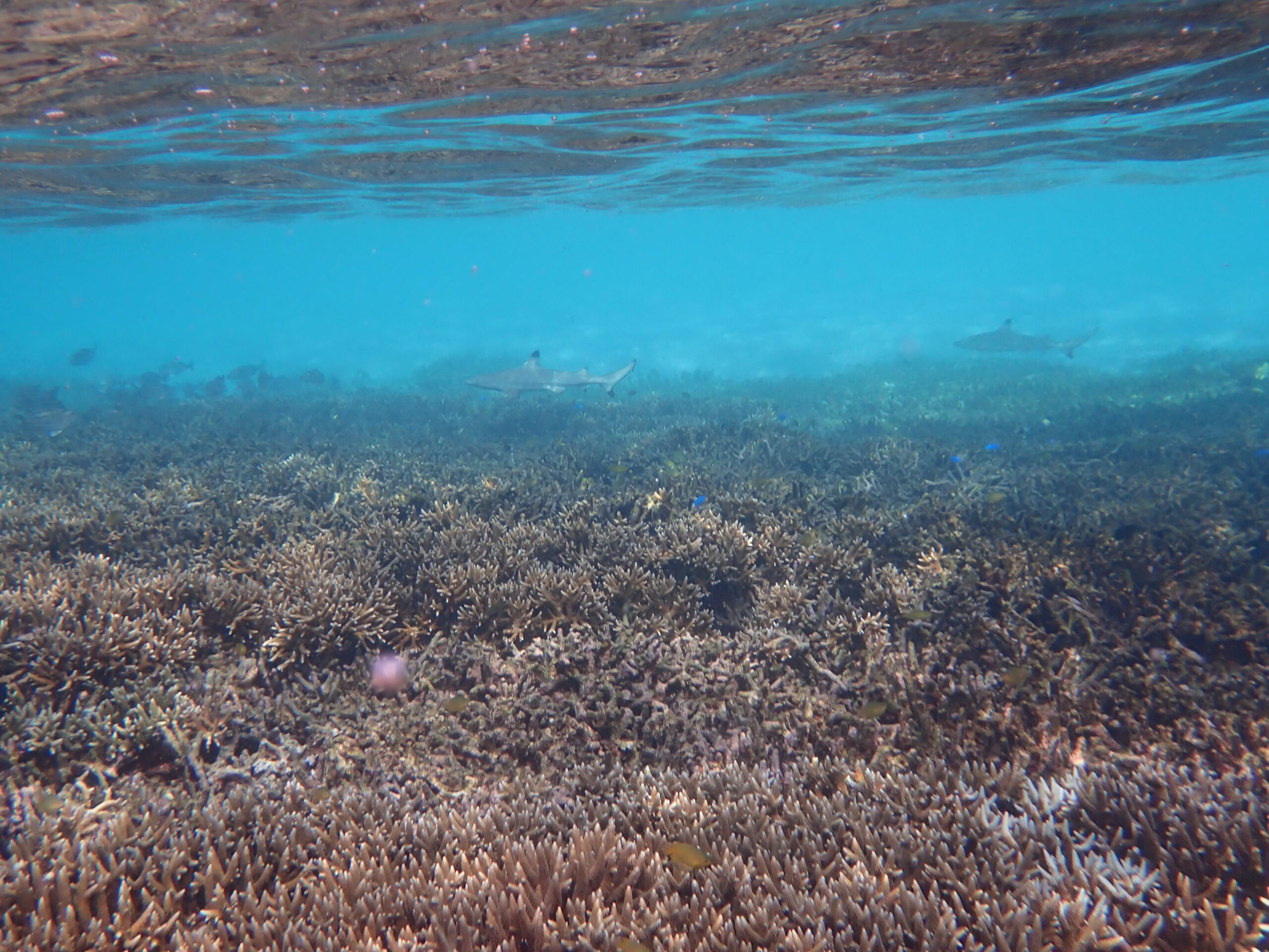
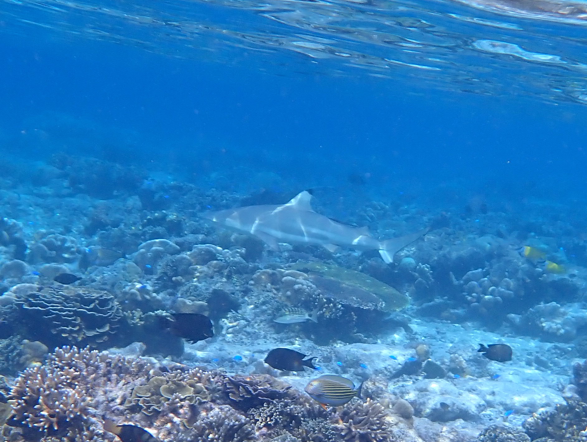
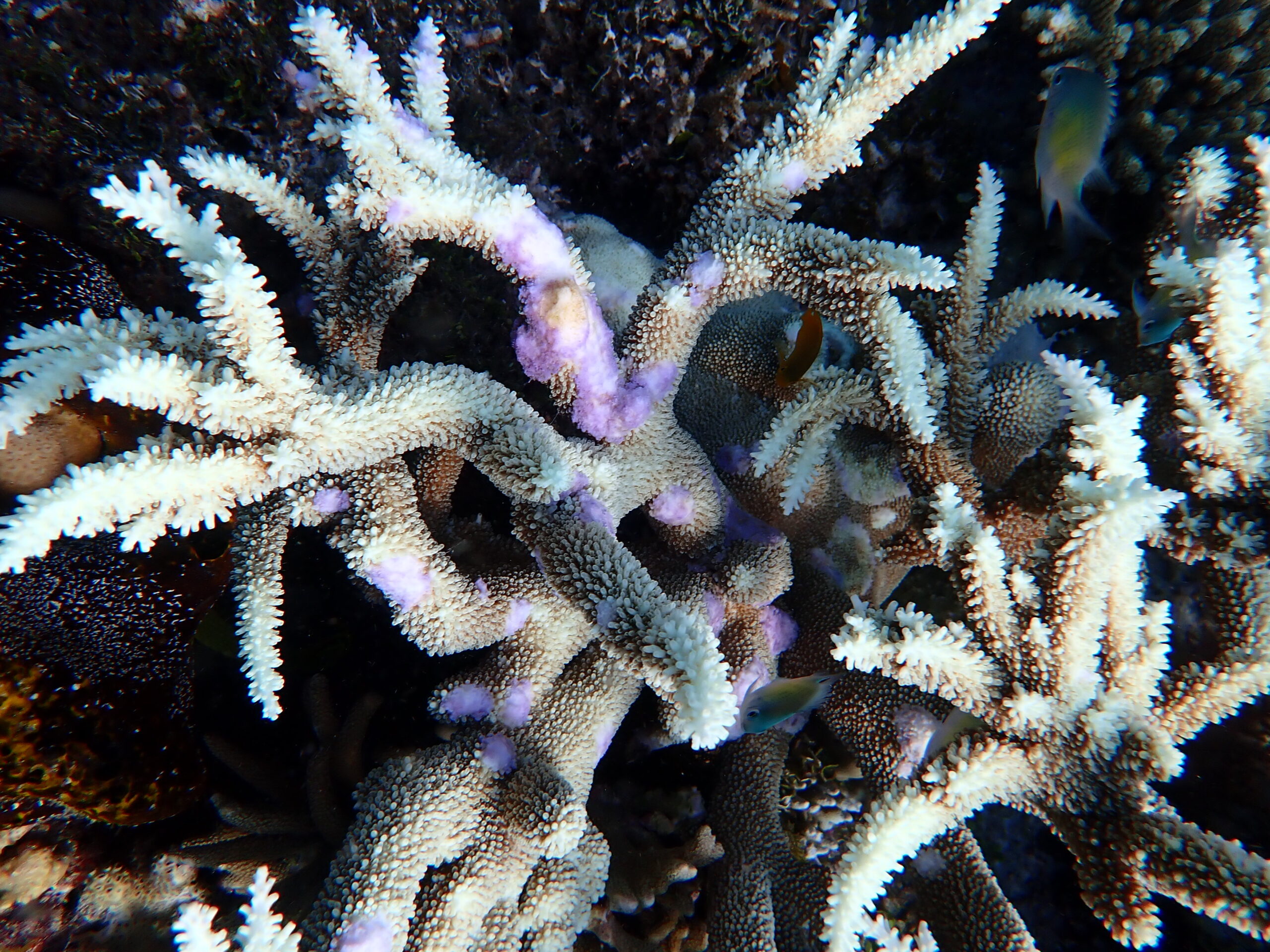
A view towards the beach over the shallow Acropora coral, with small Black Tipped Reef Sharks patrolling.

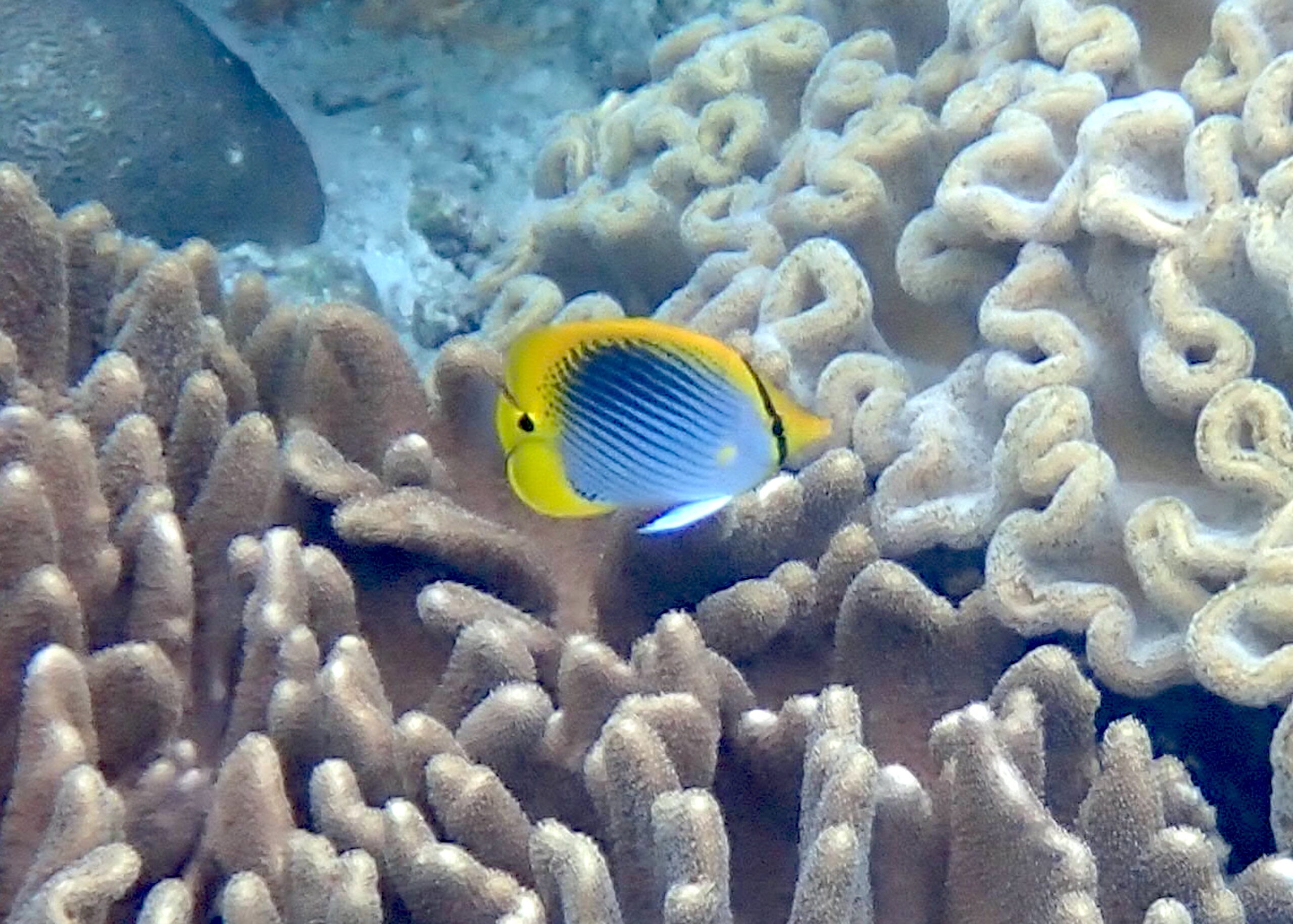
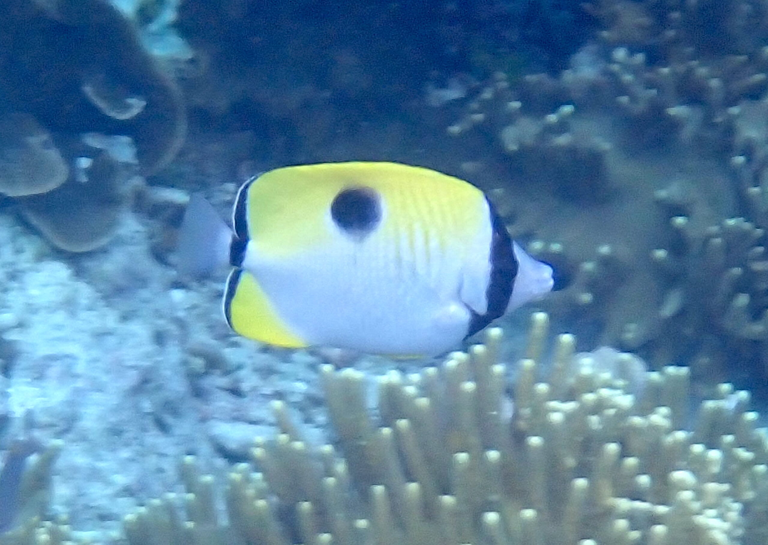
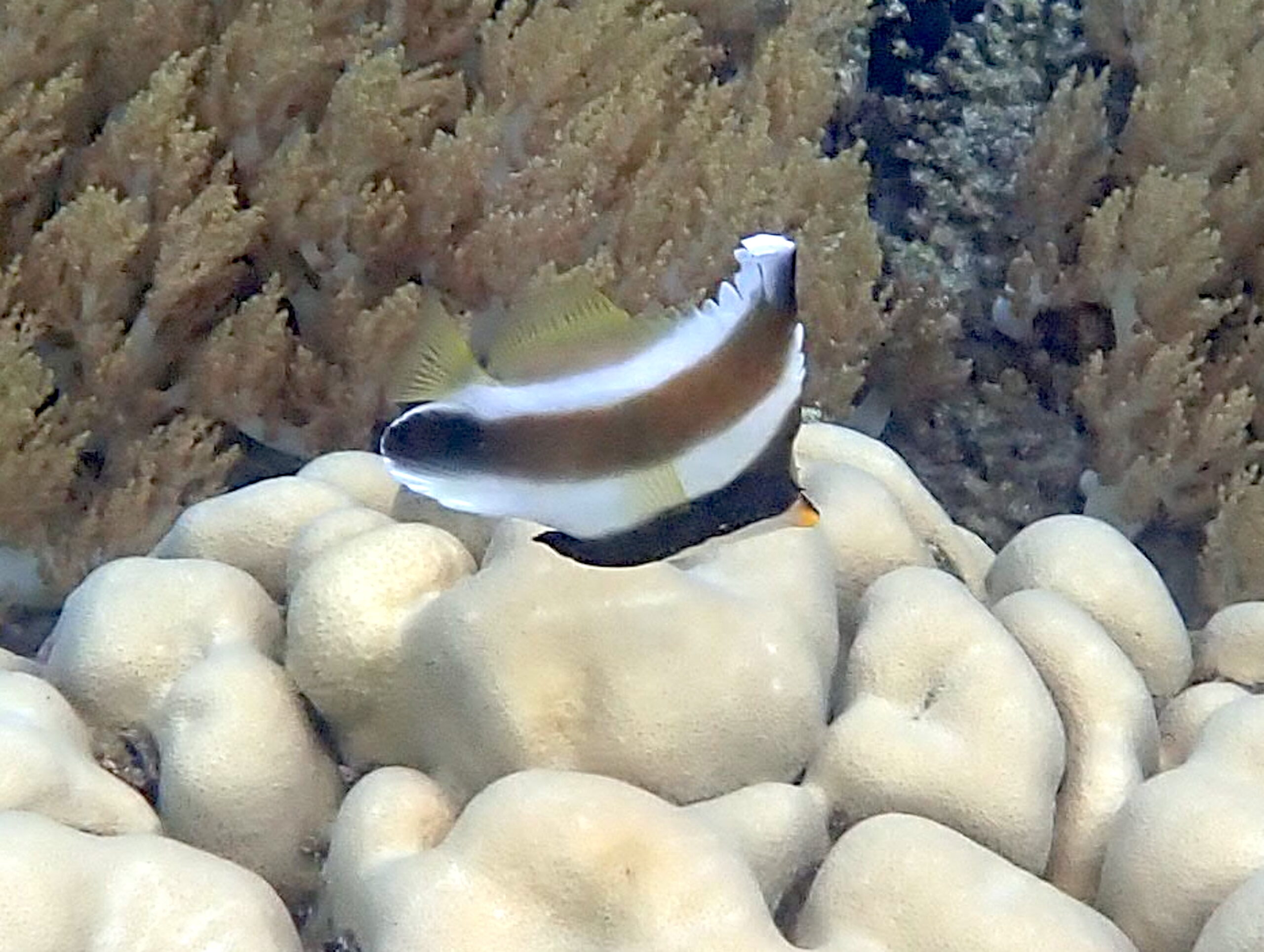
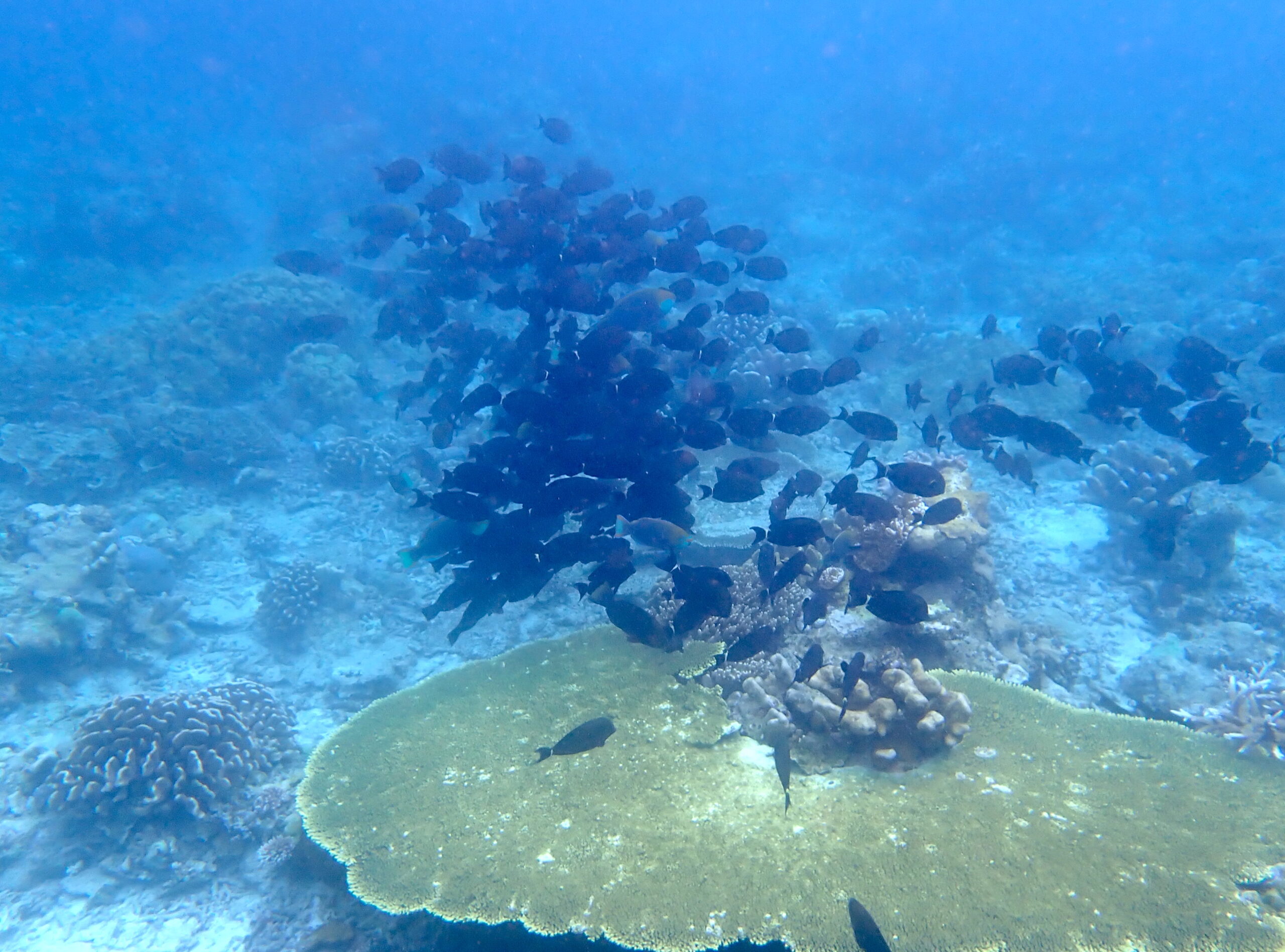
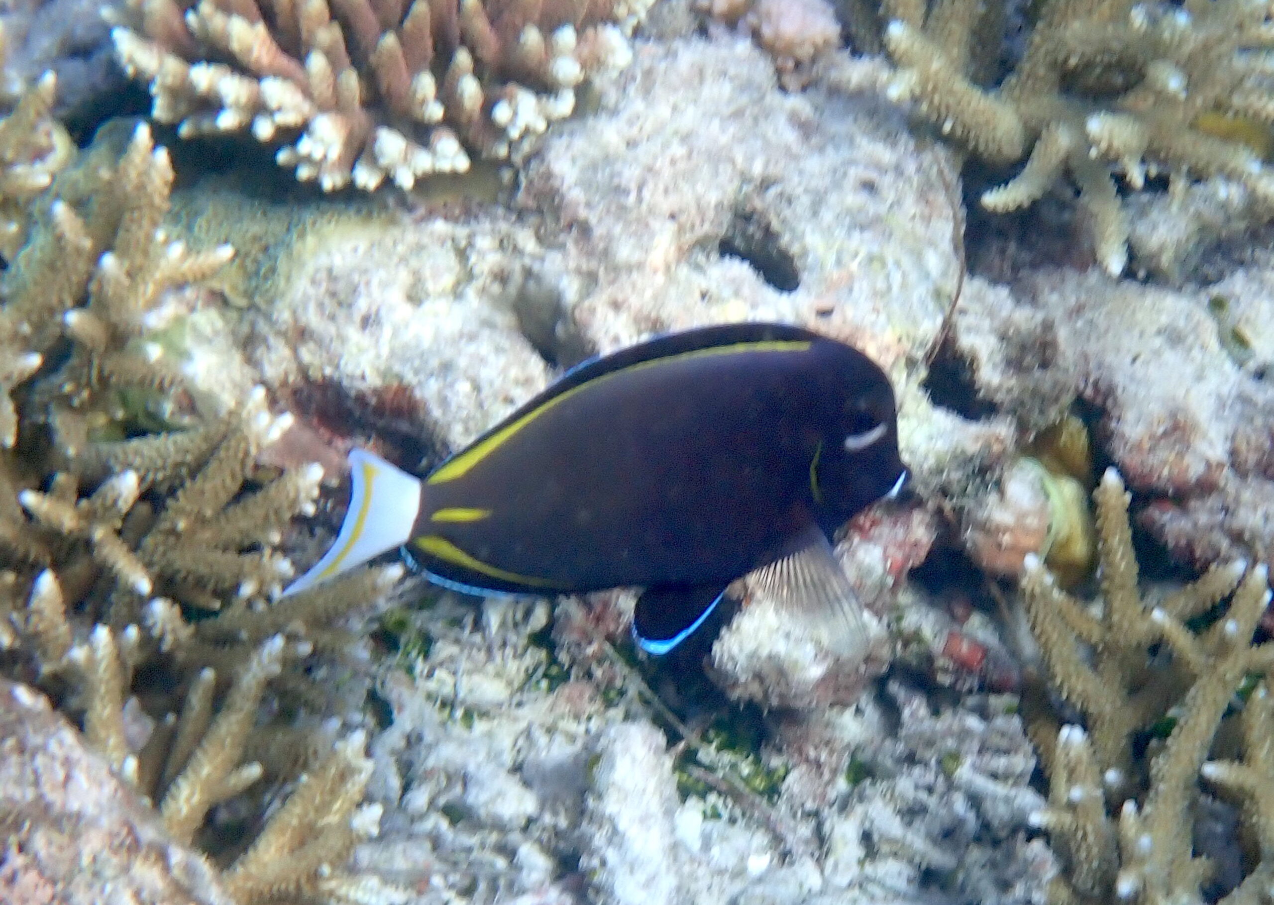
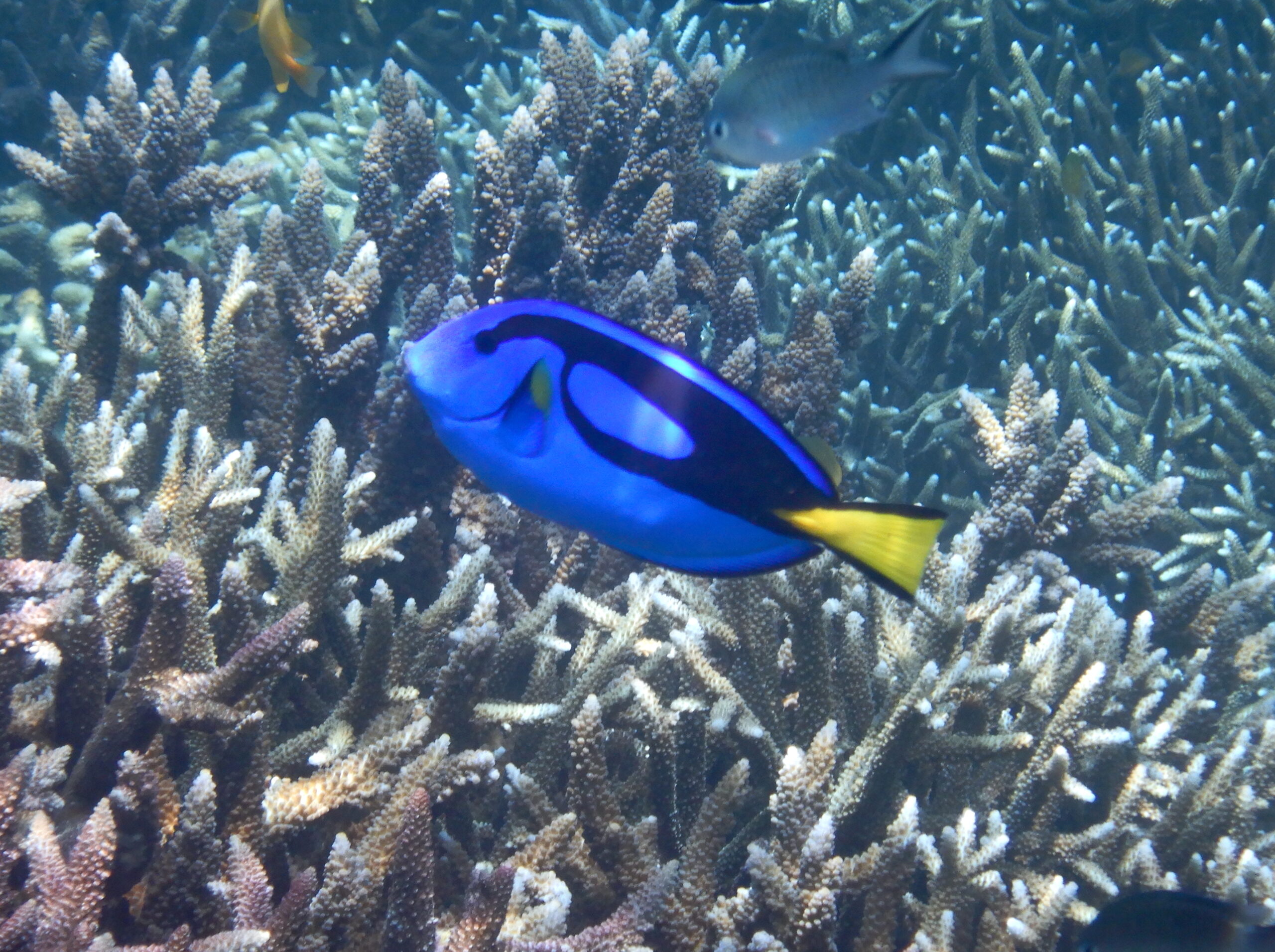
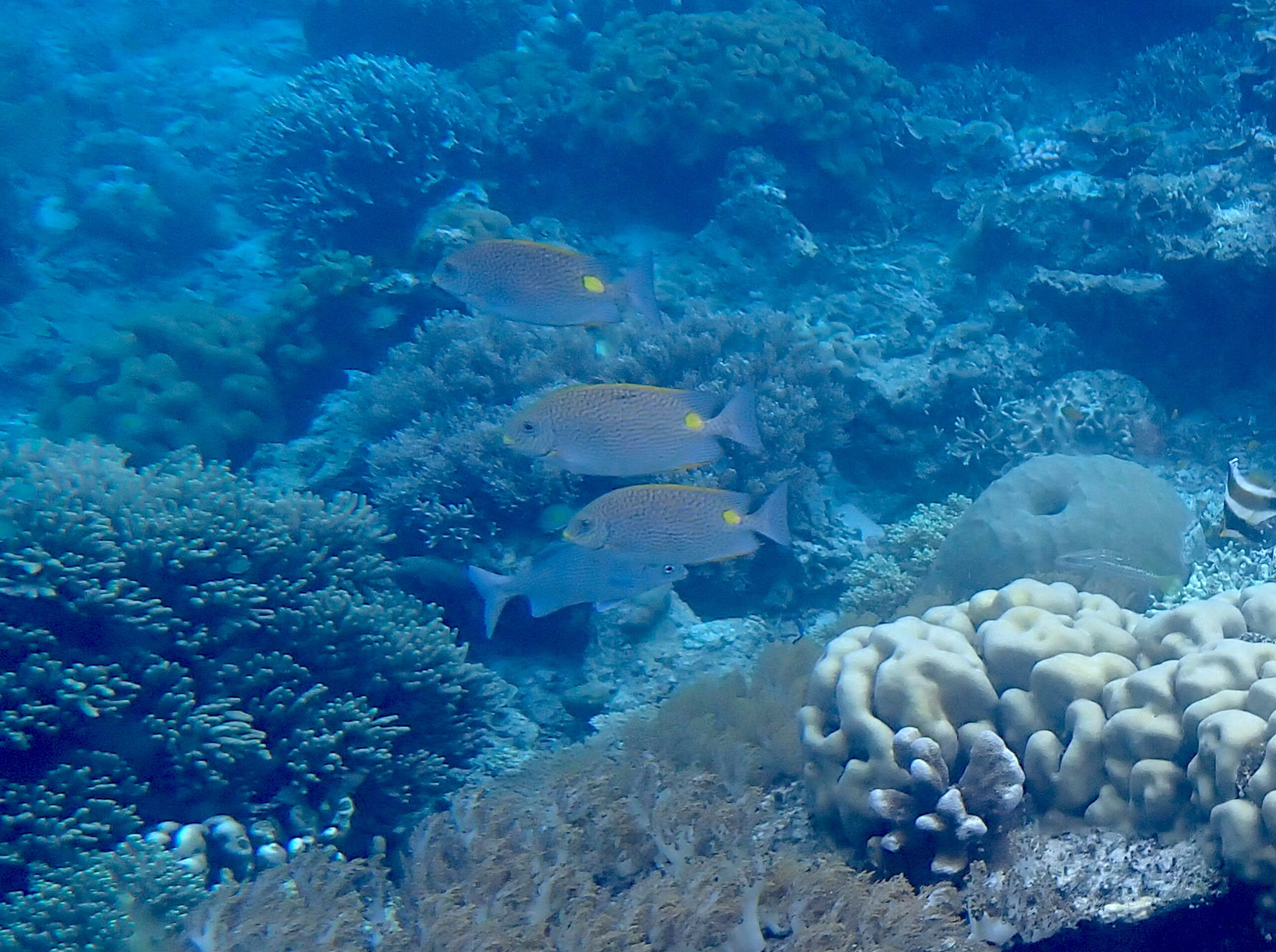
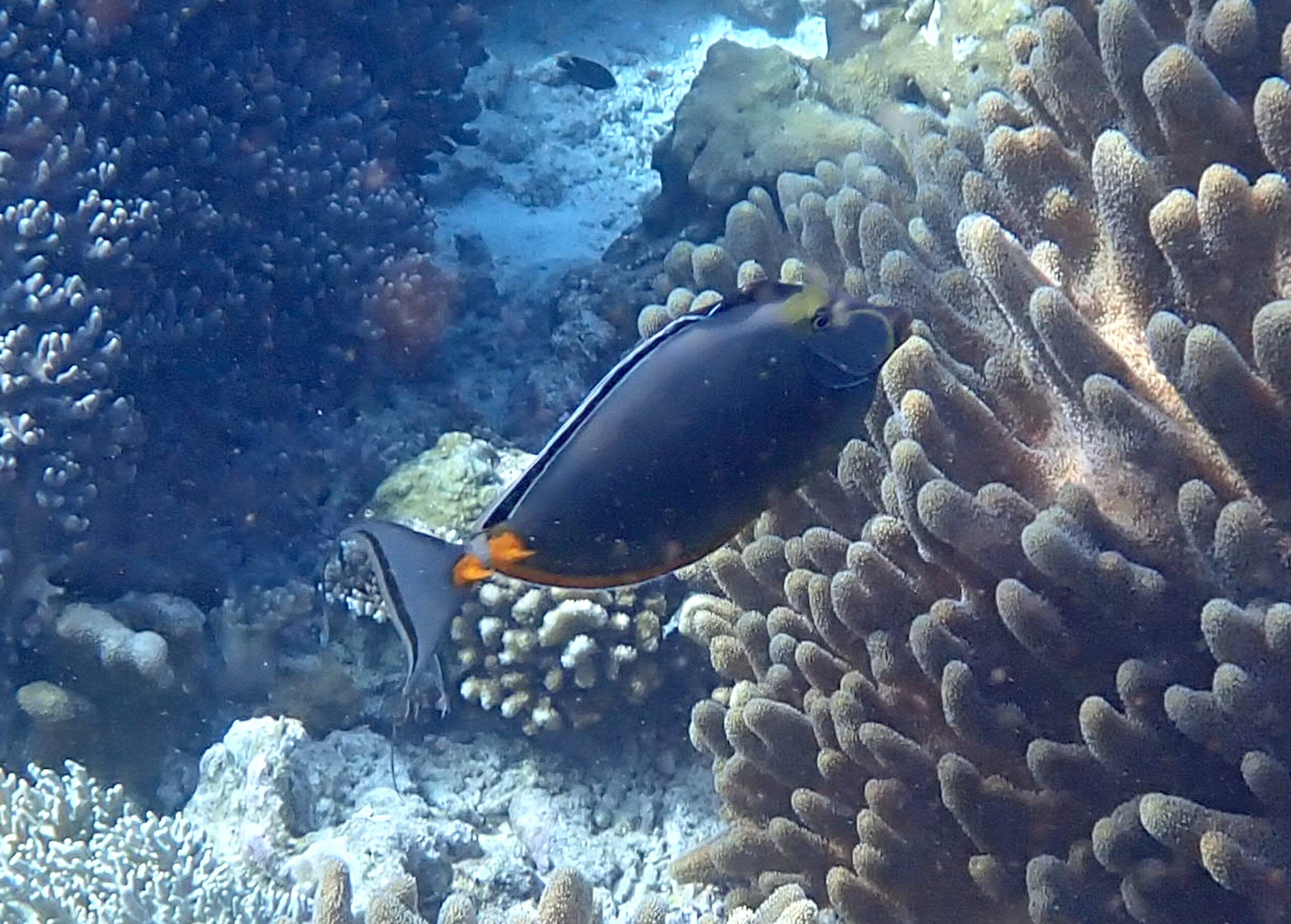
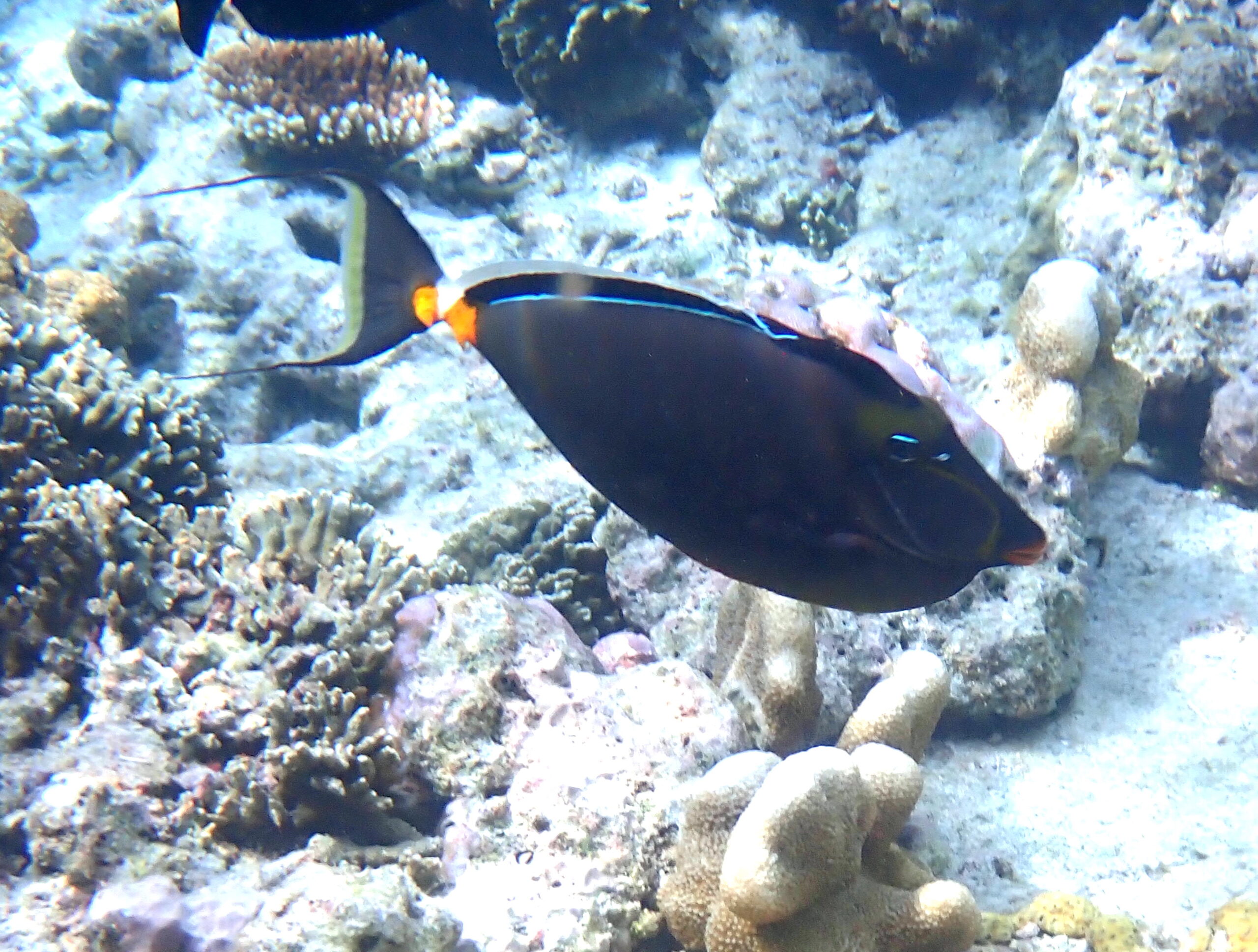
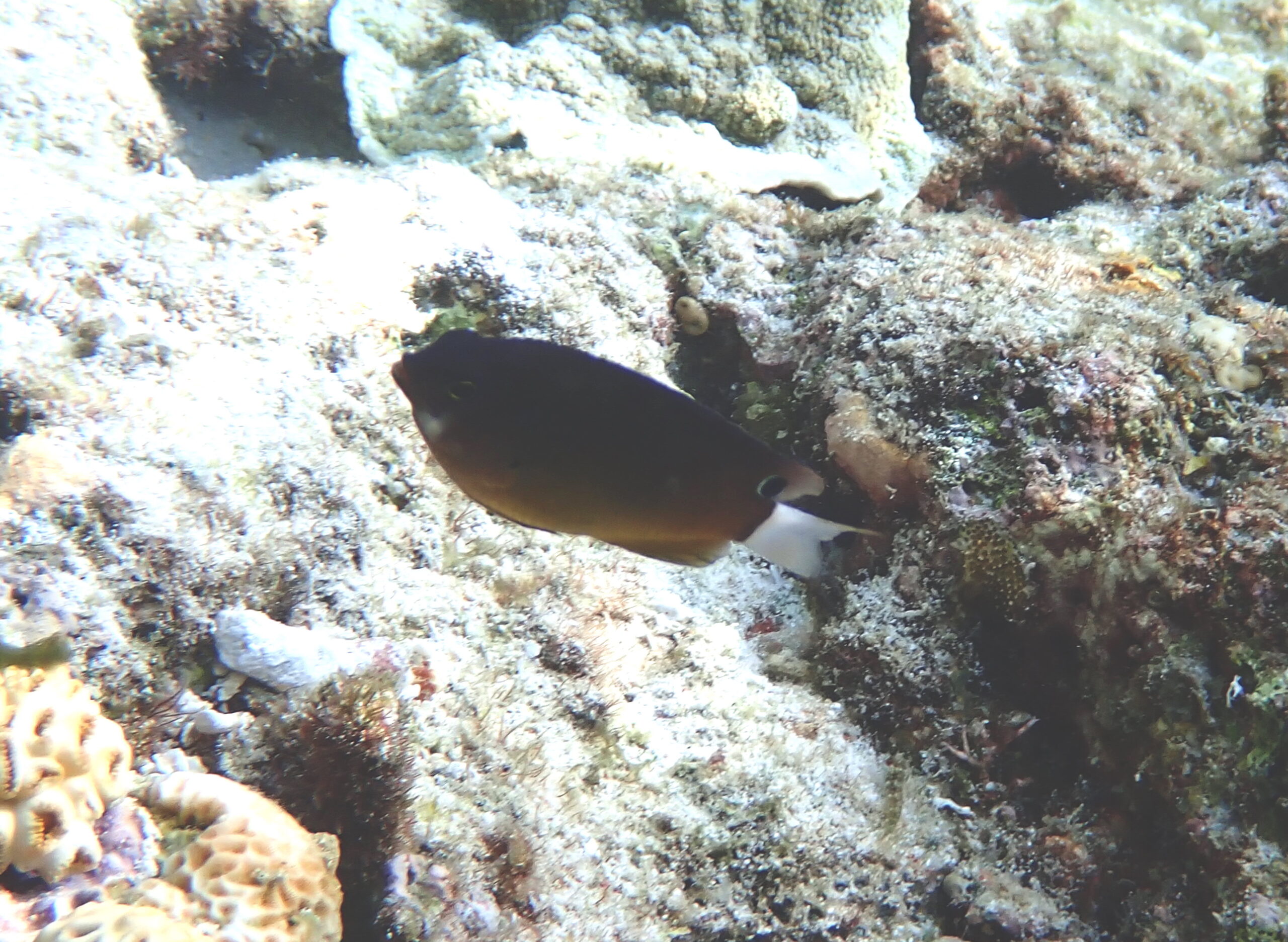
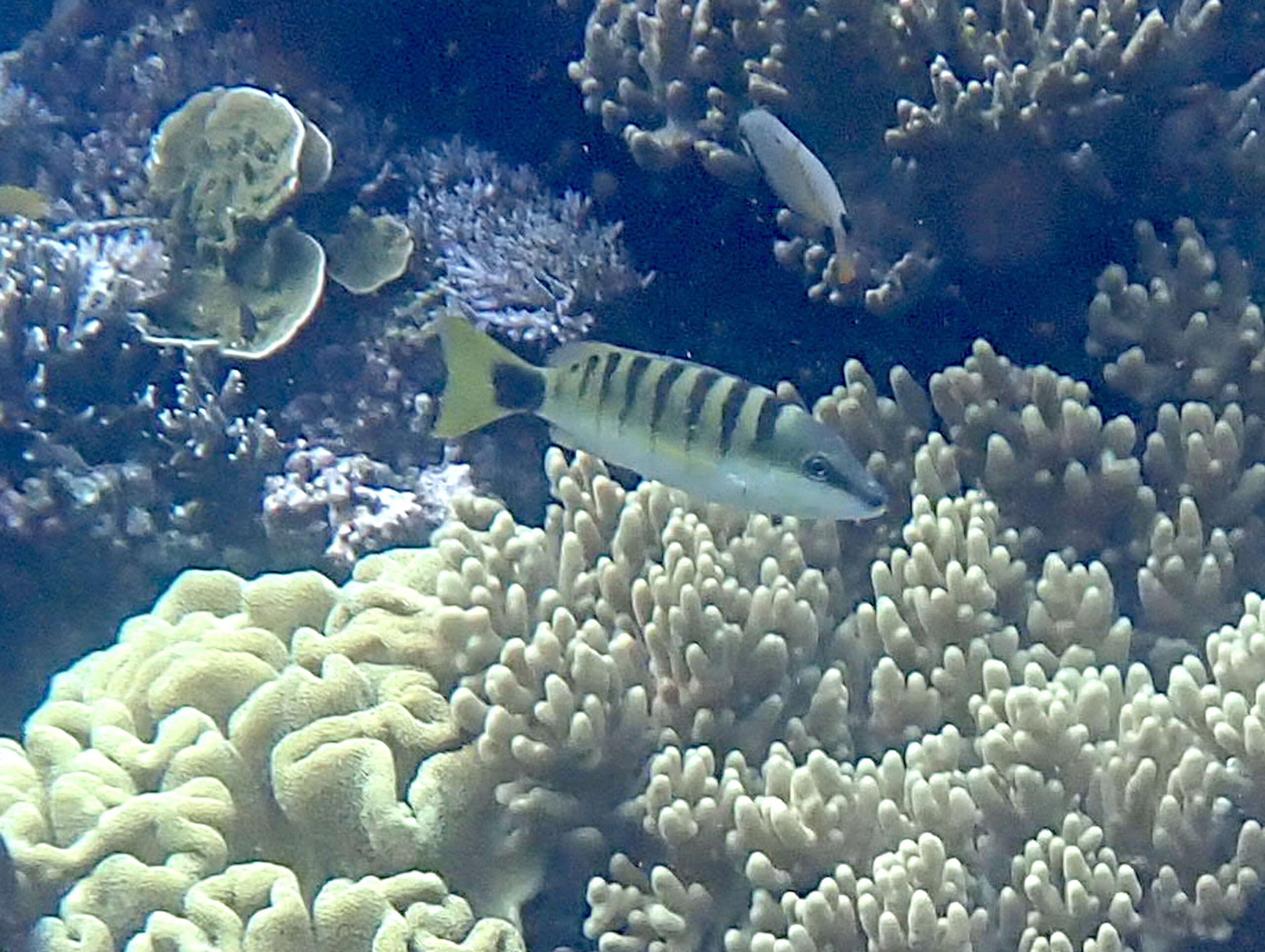
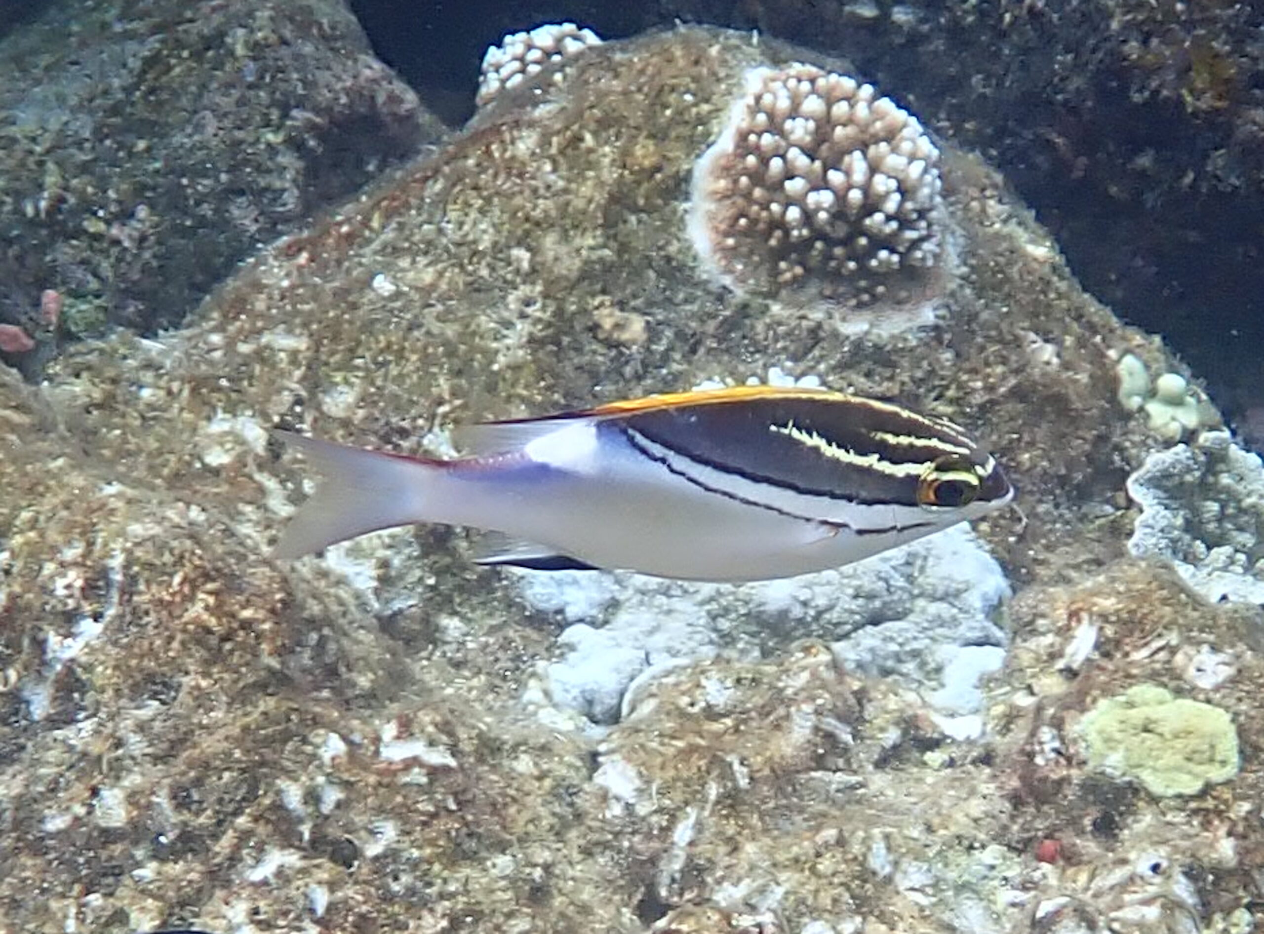
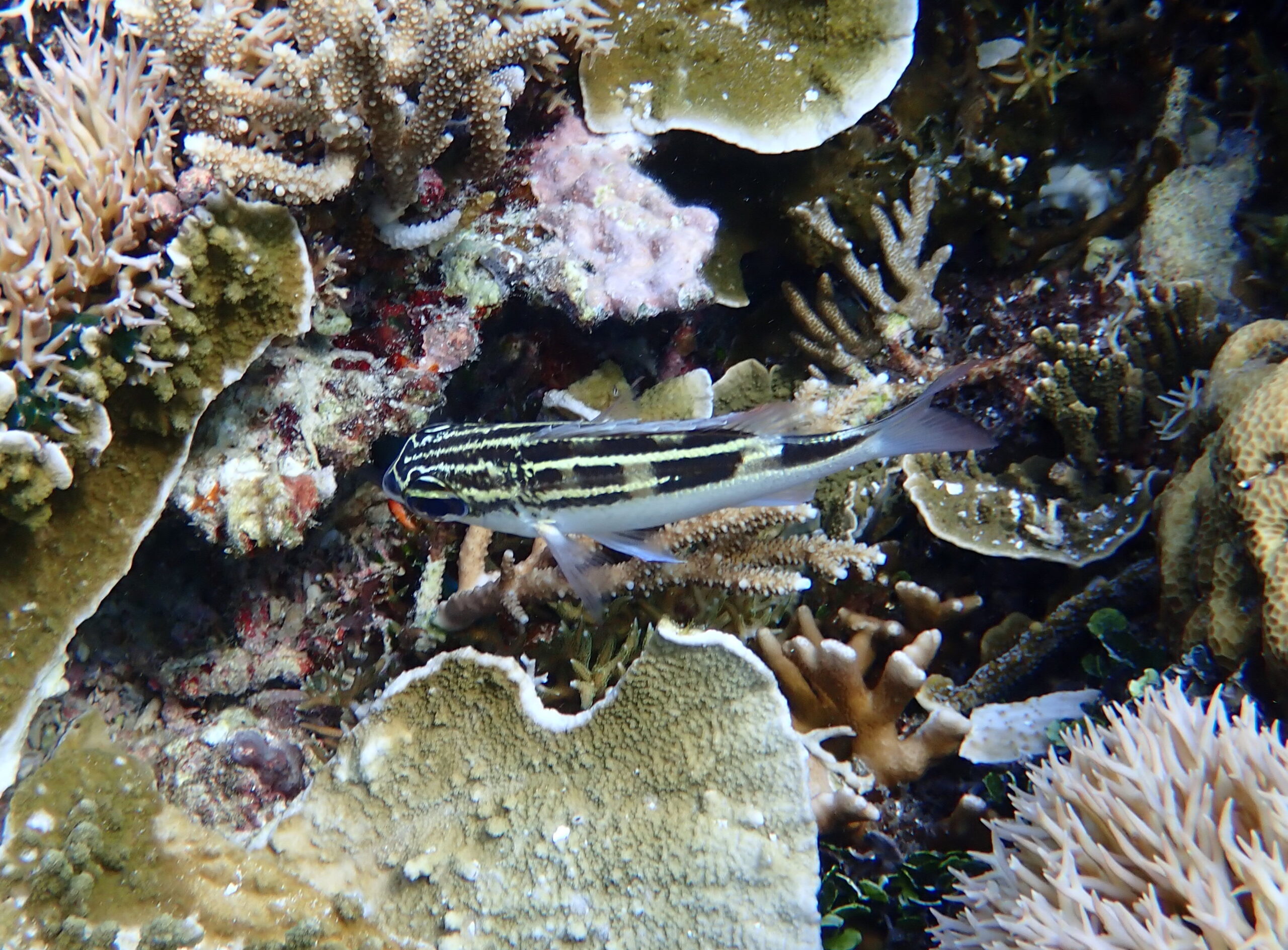
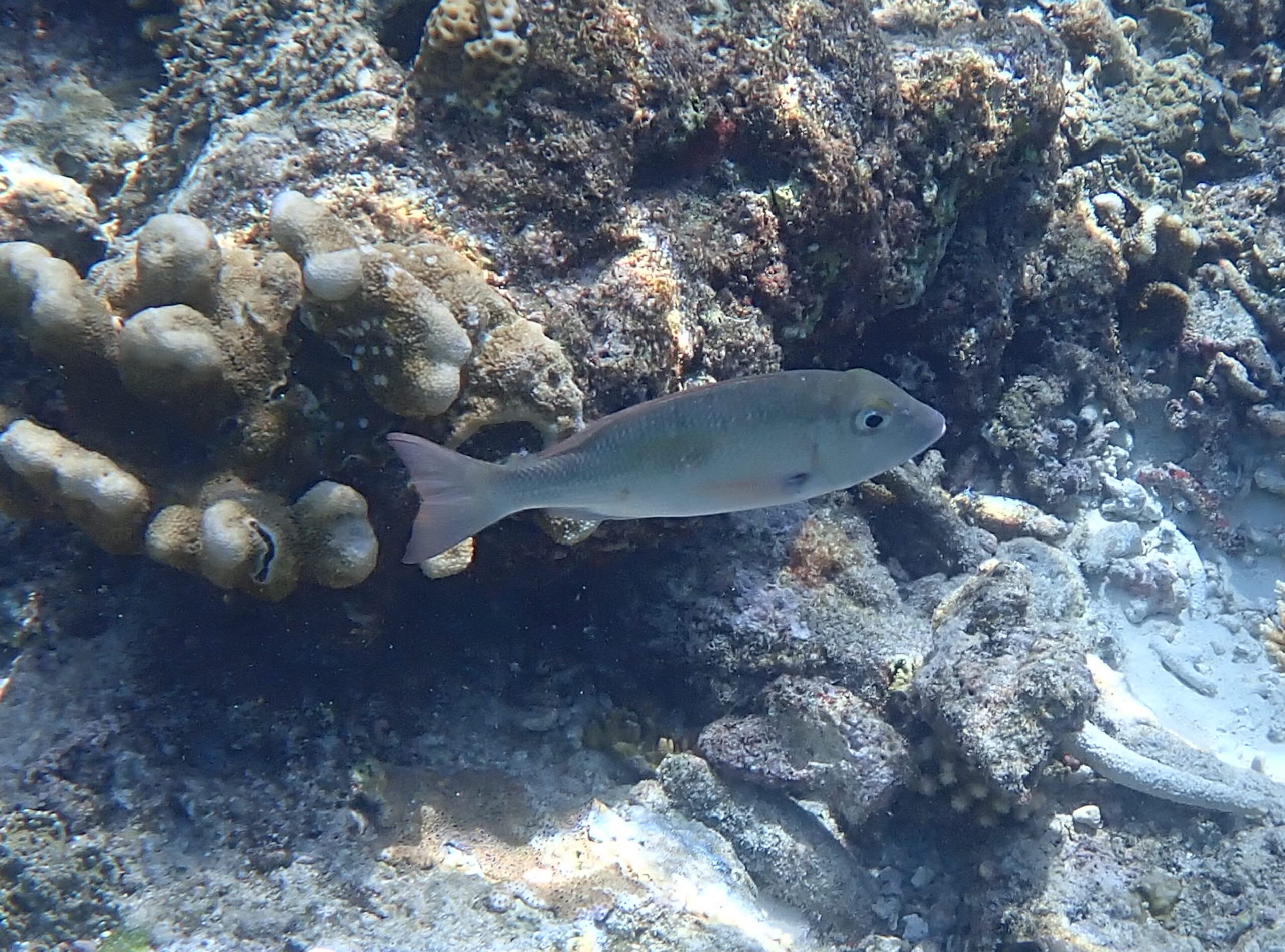
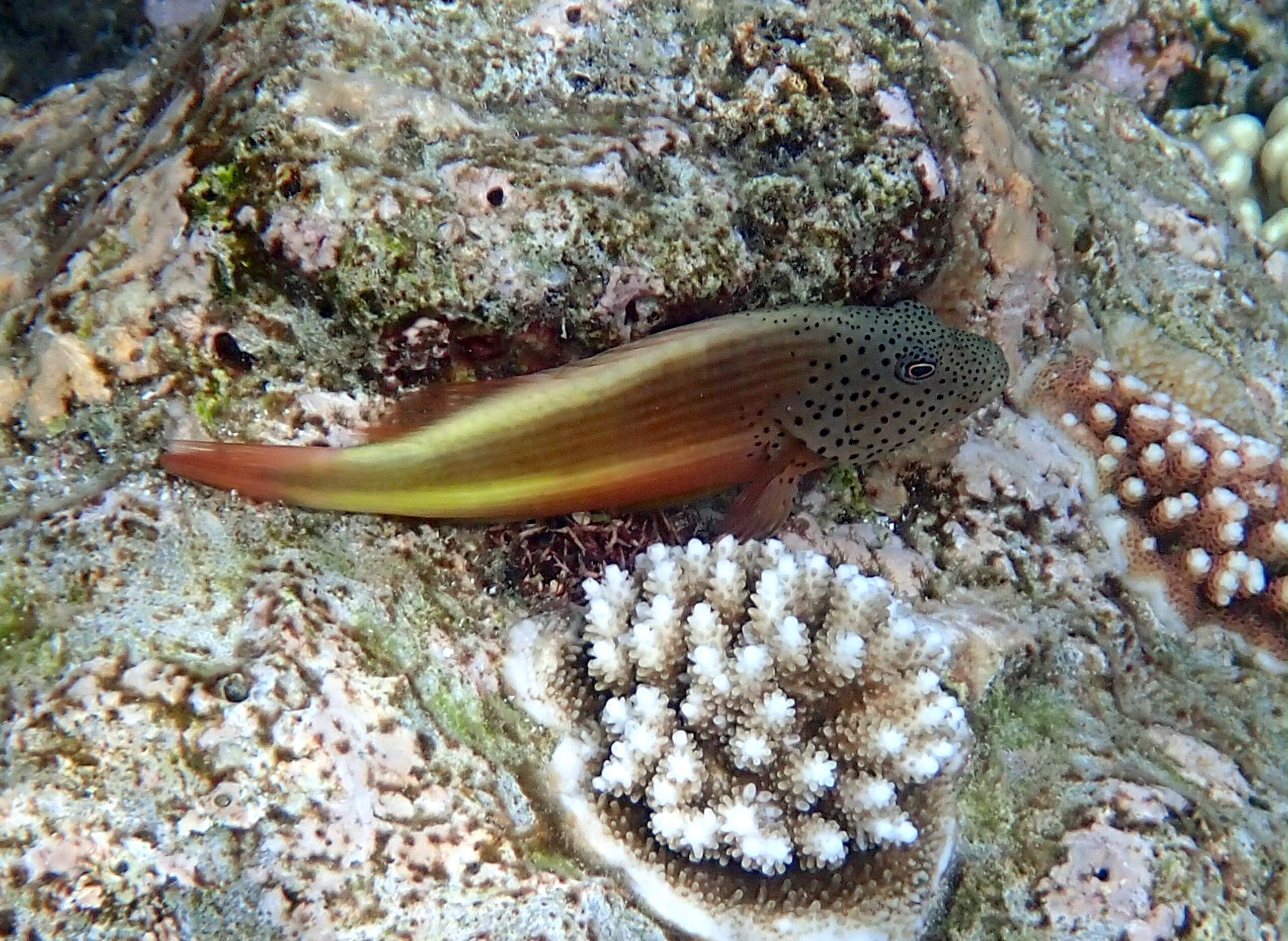
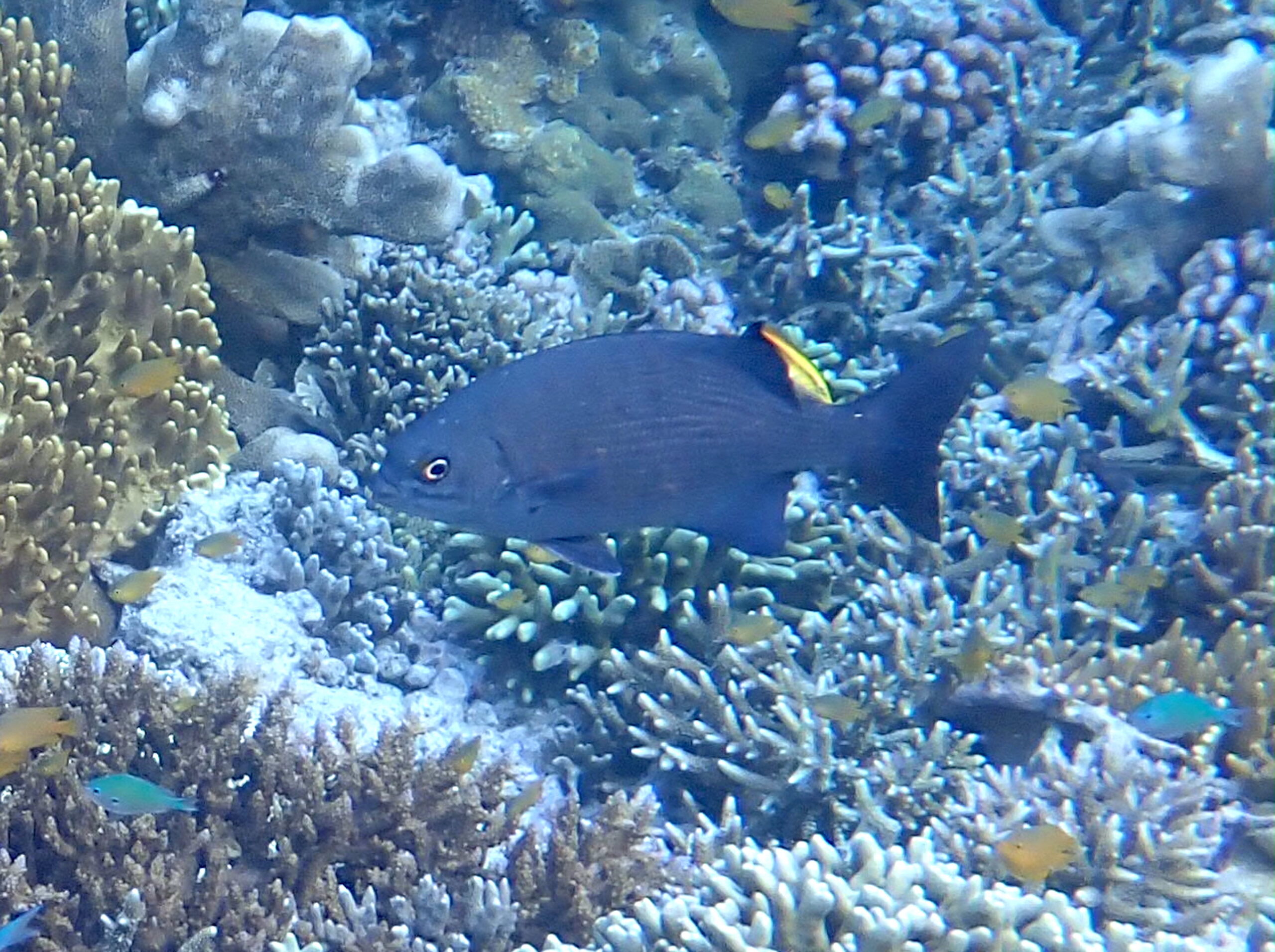
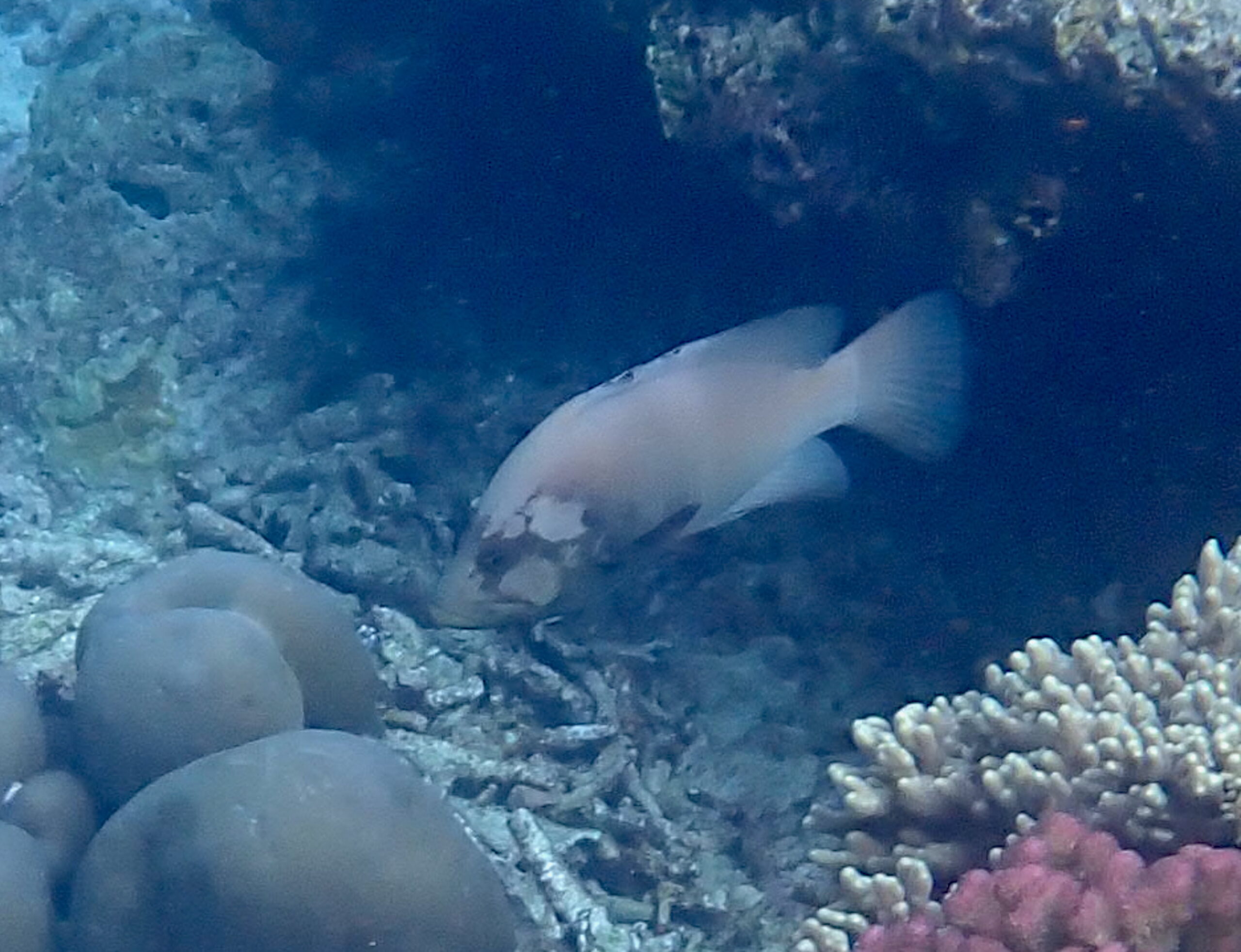
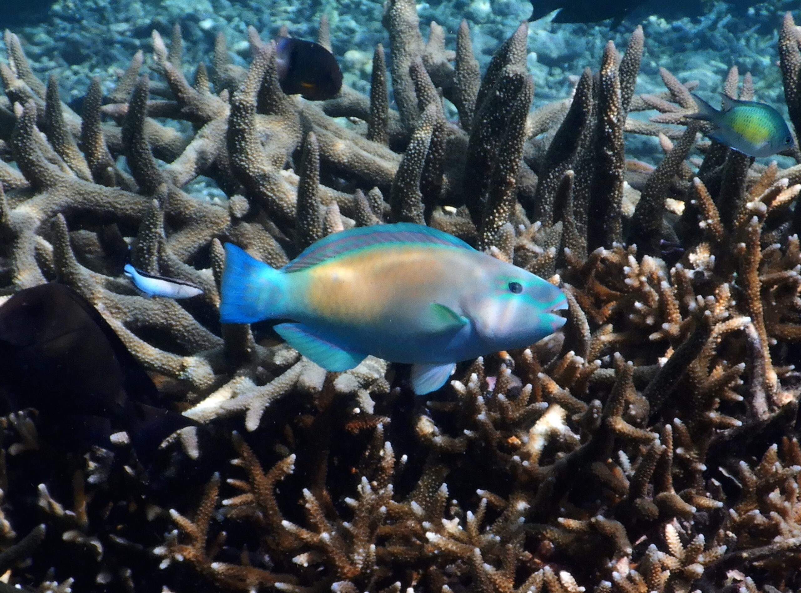
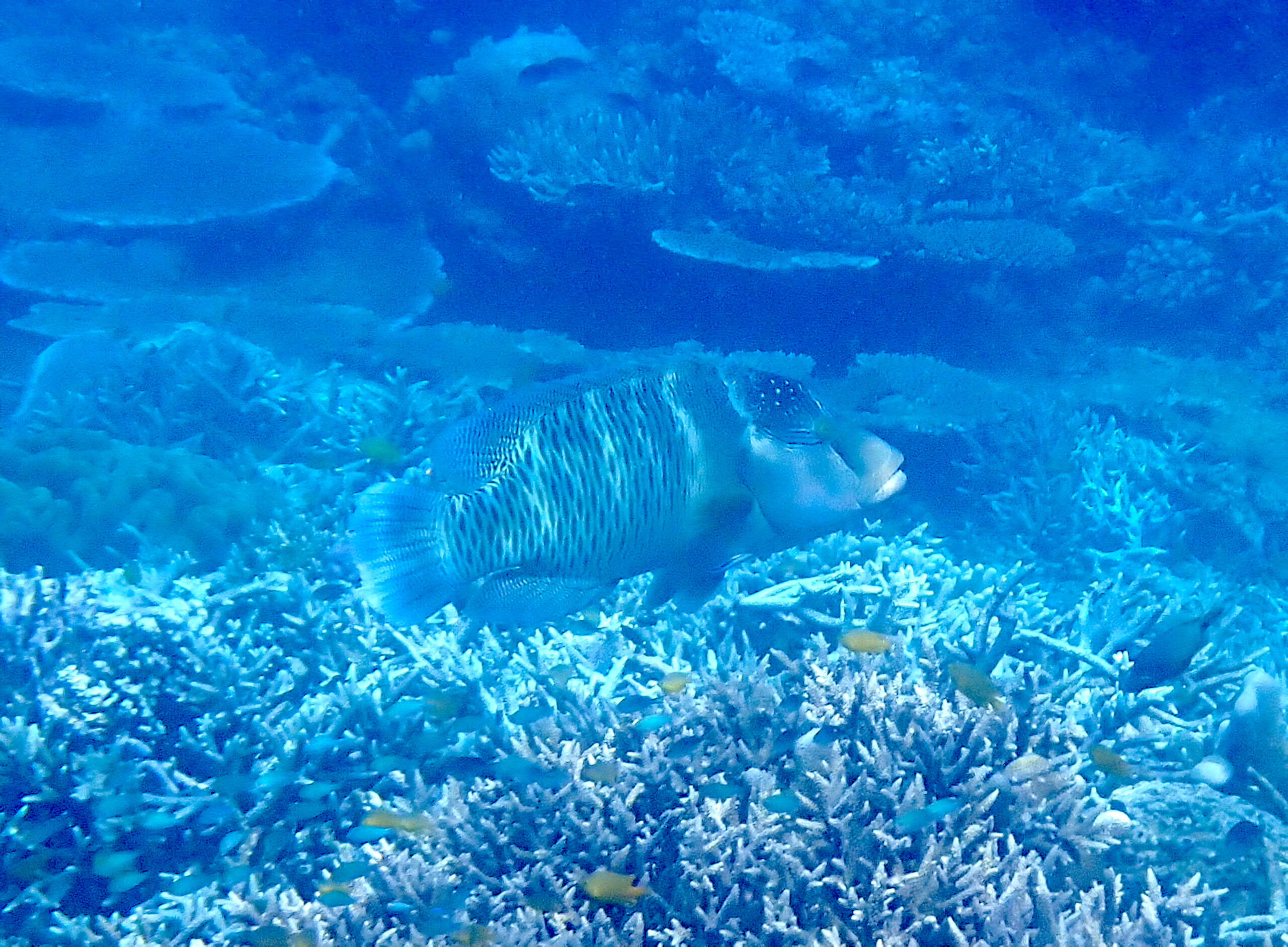
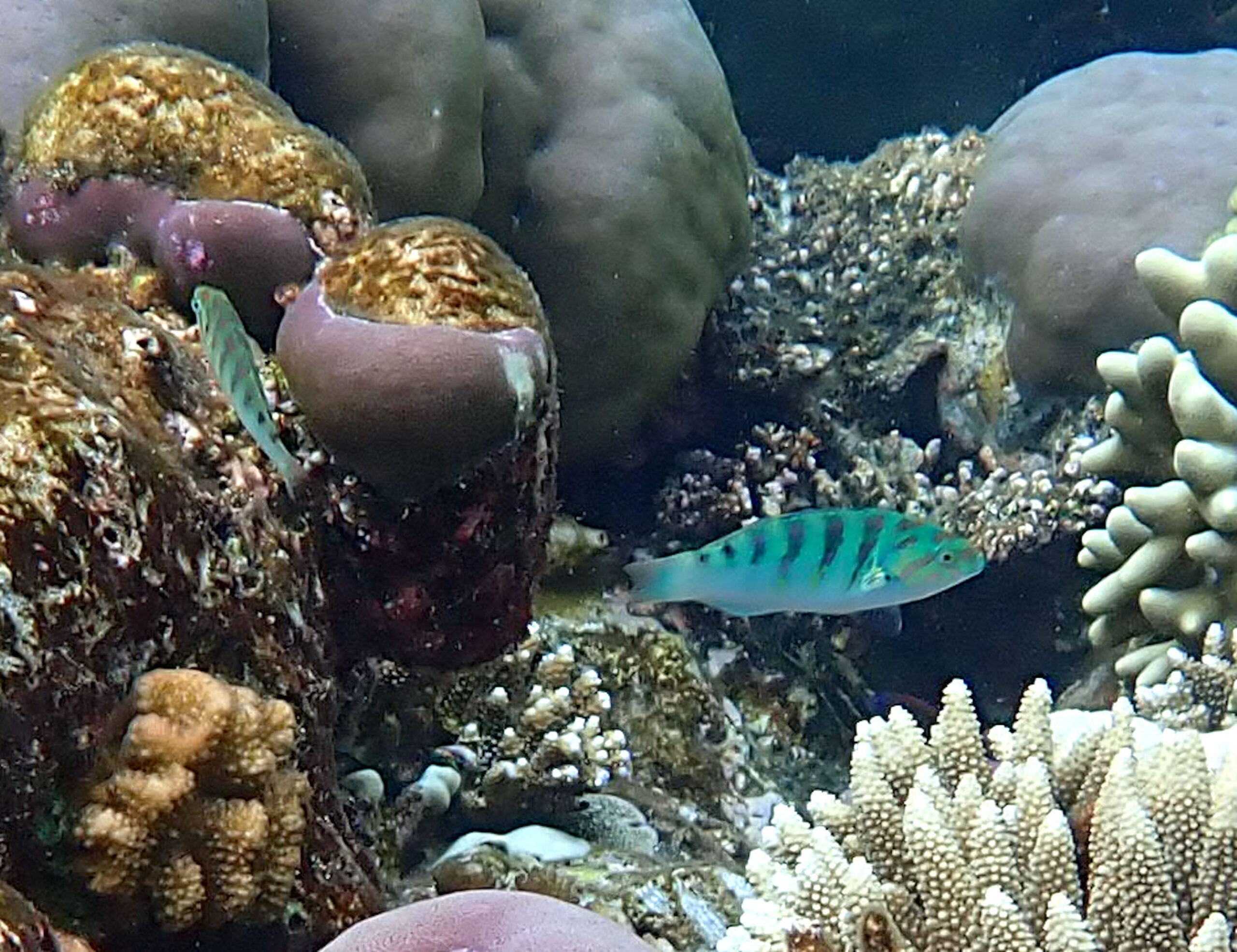
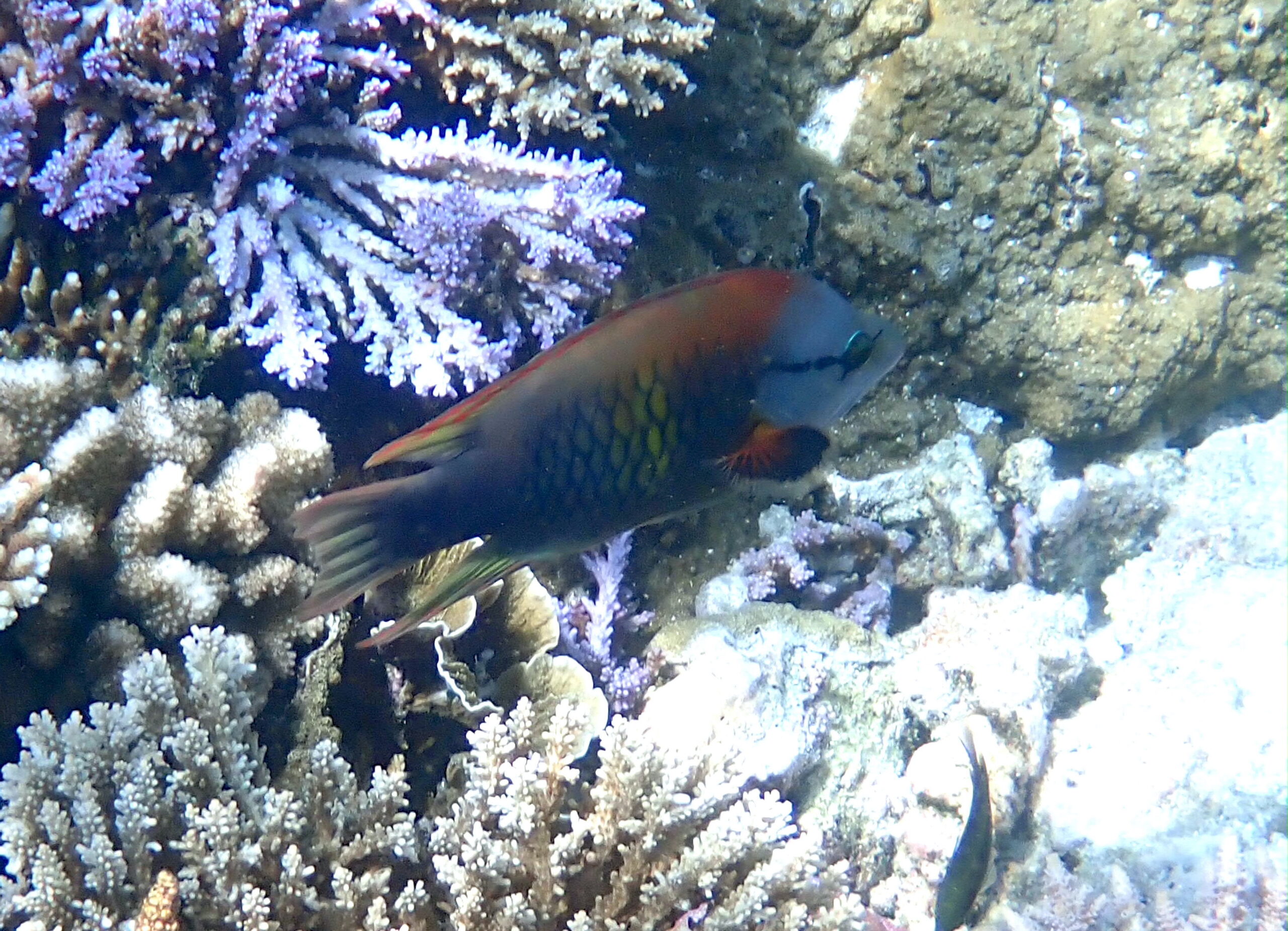
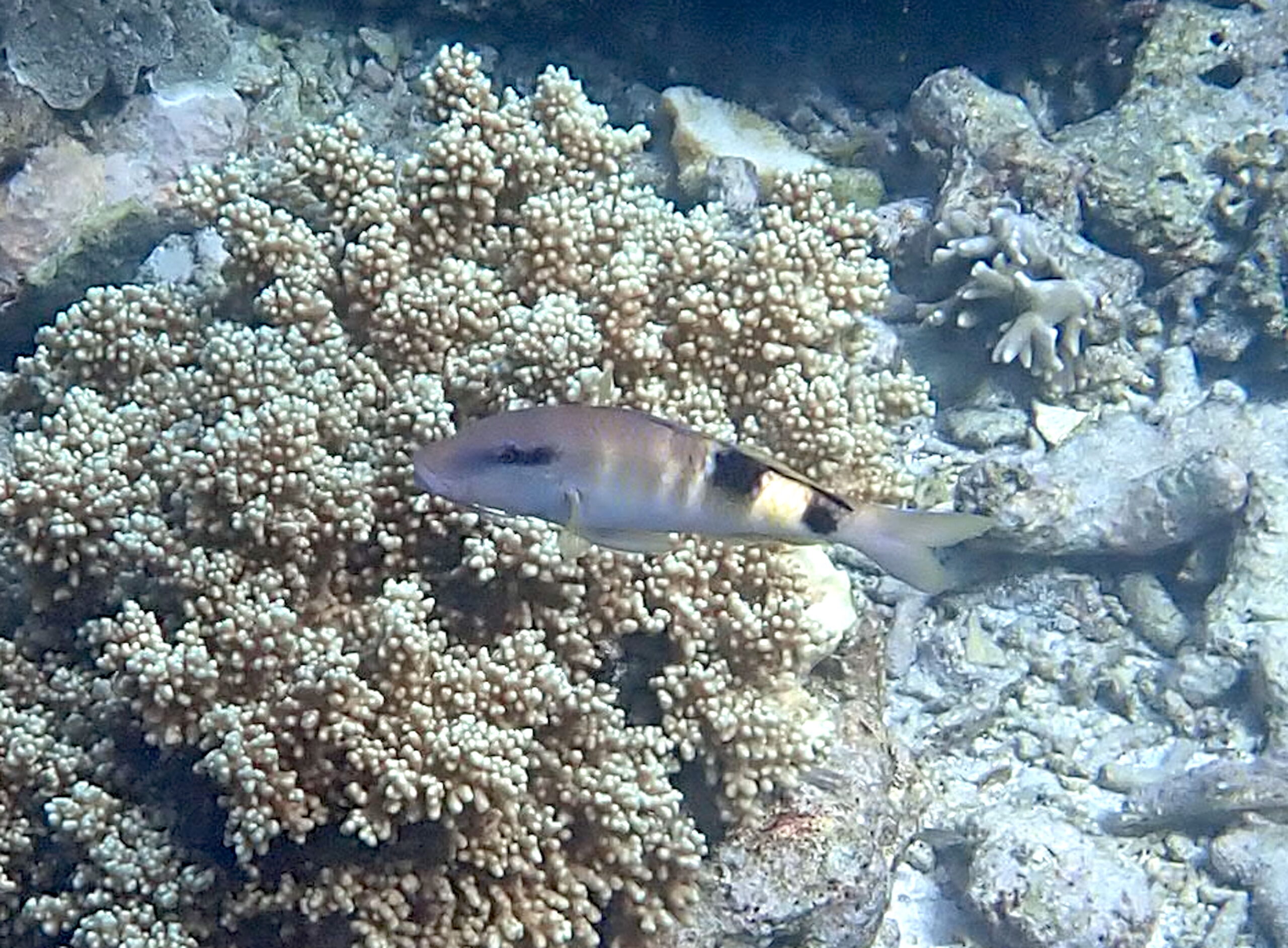
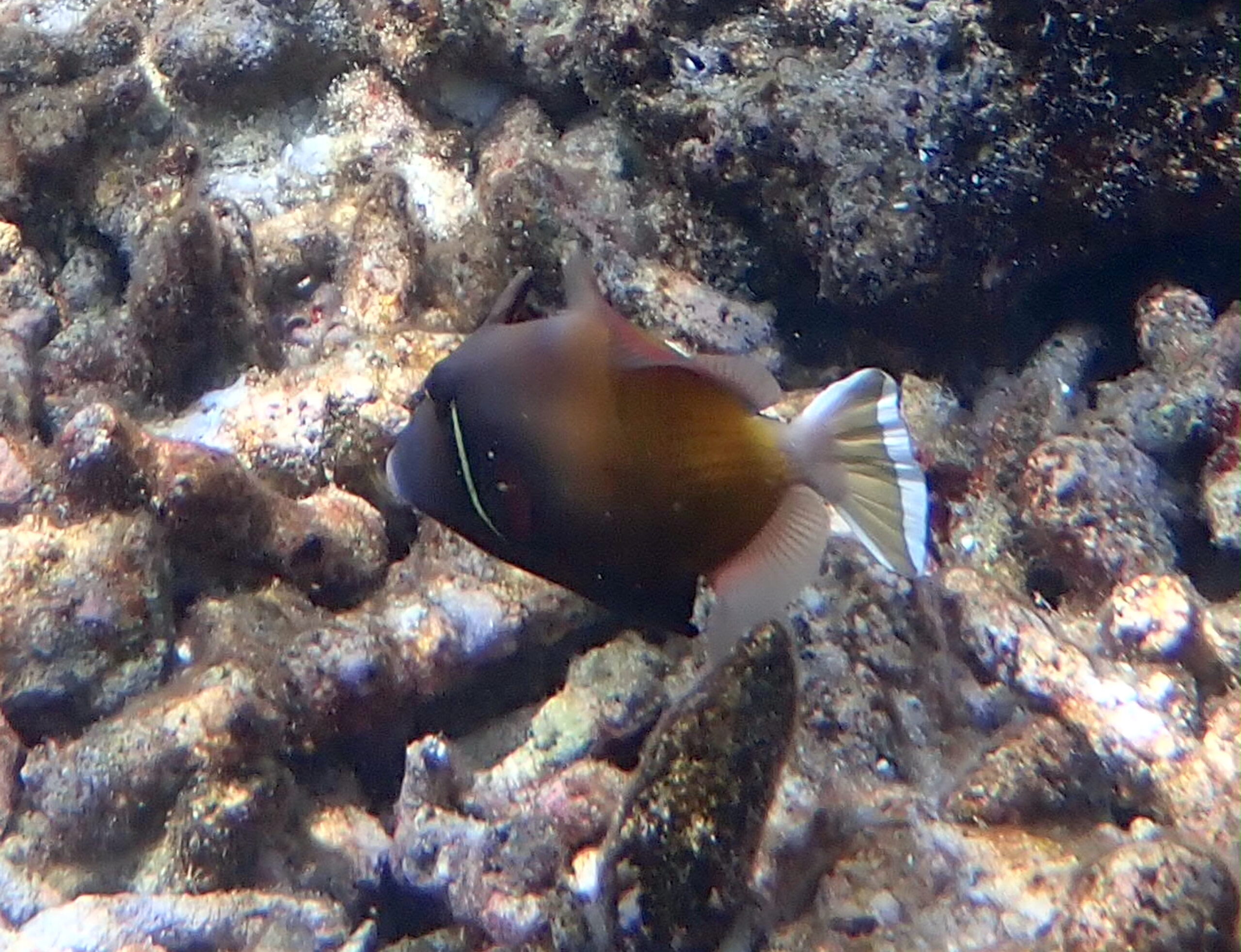
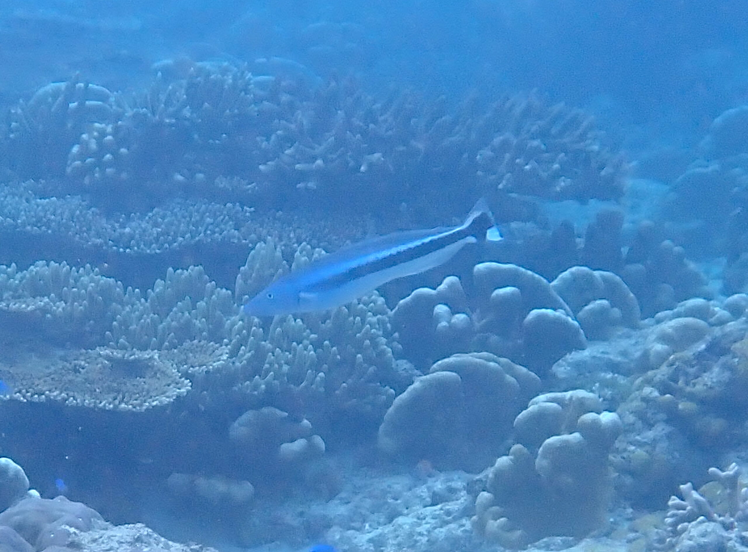
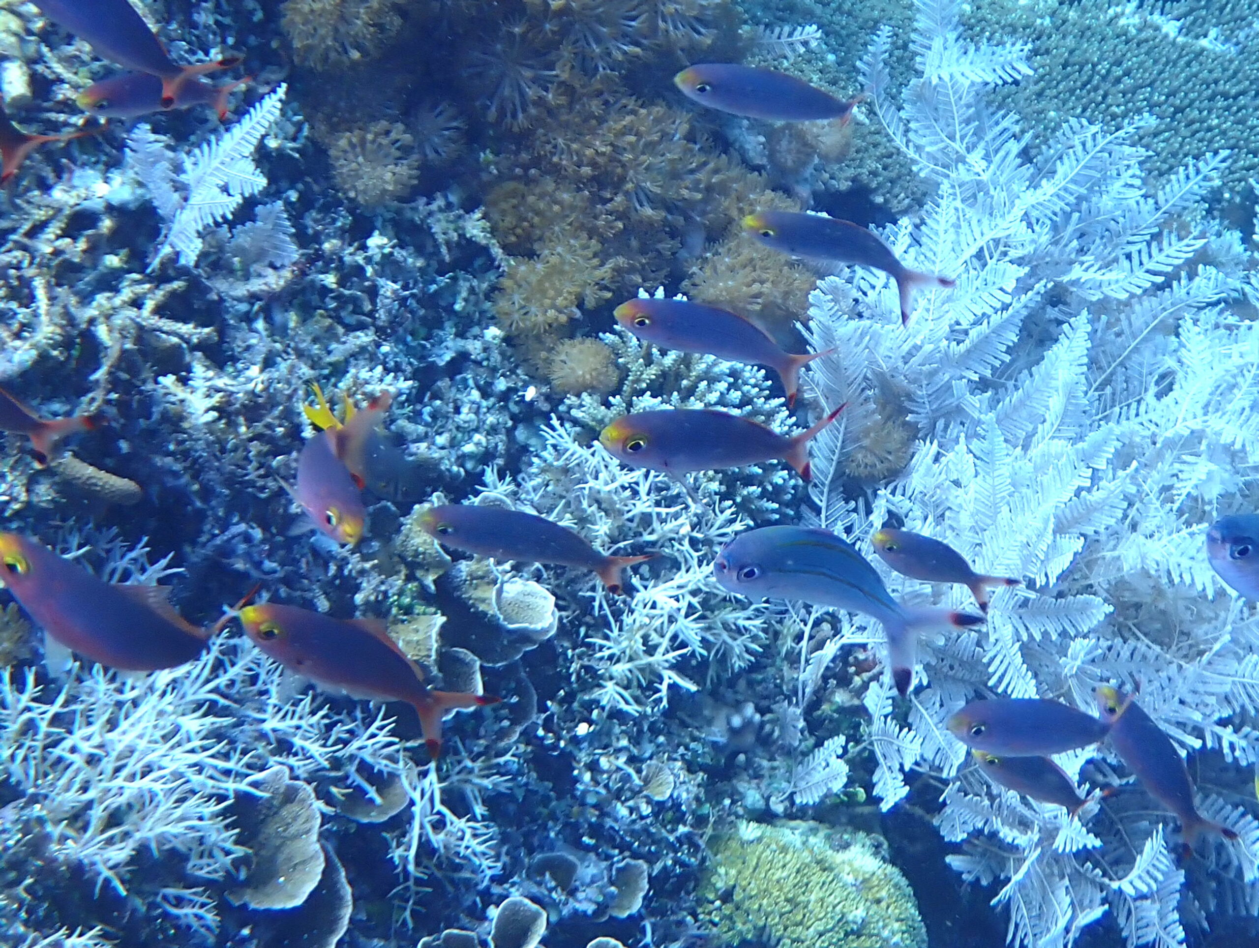
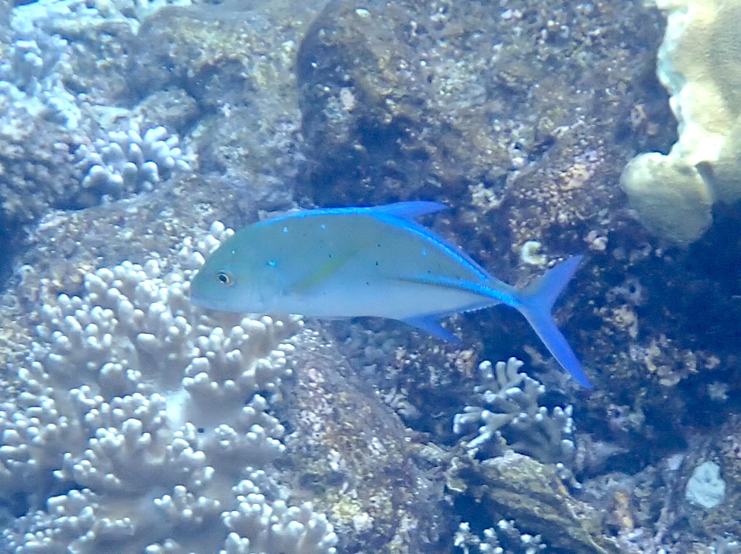
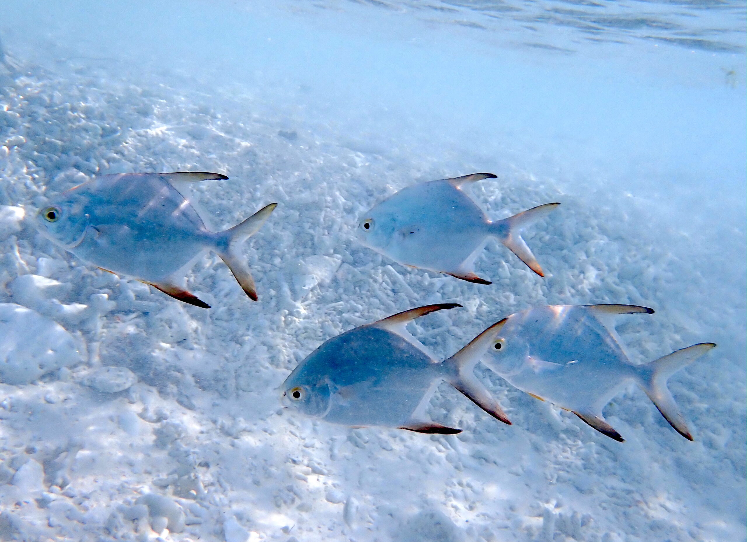
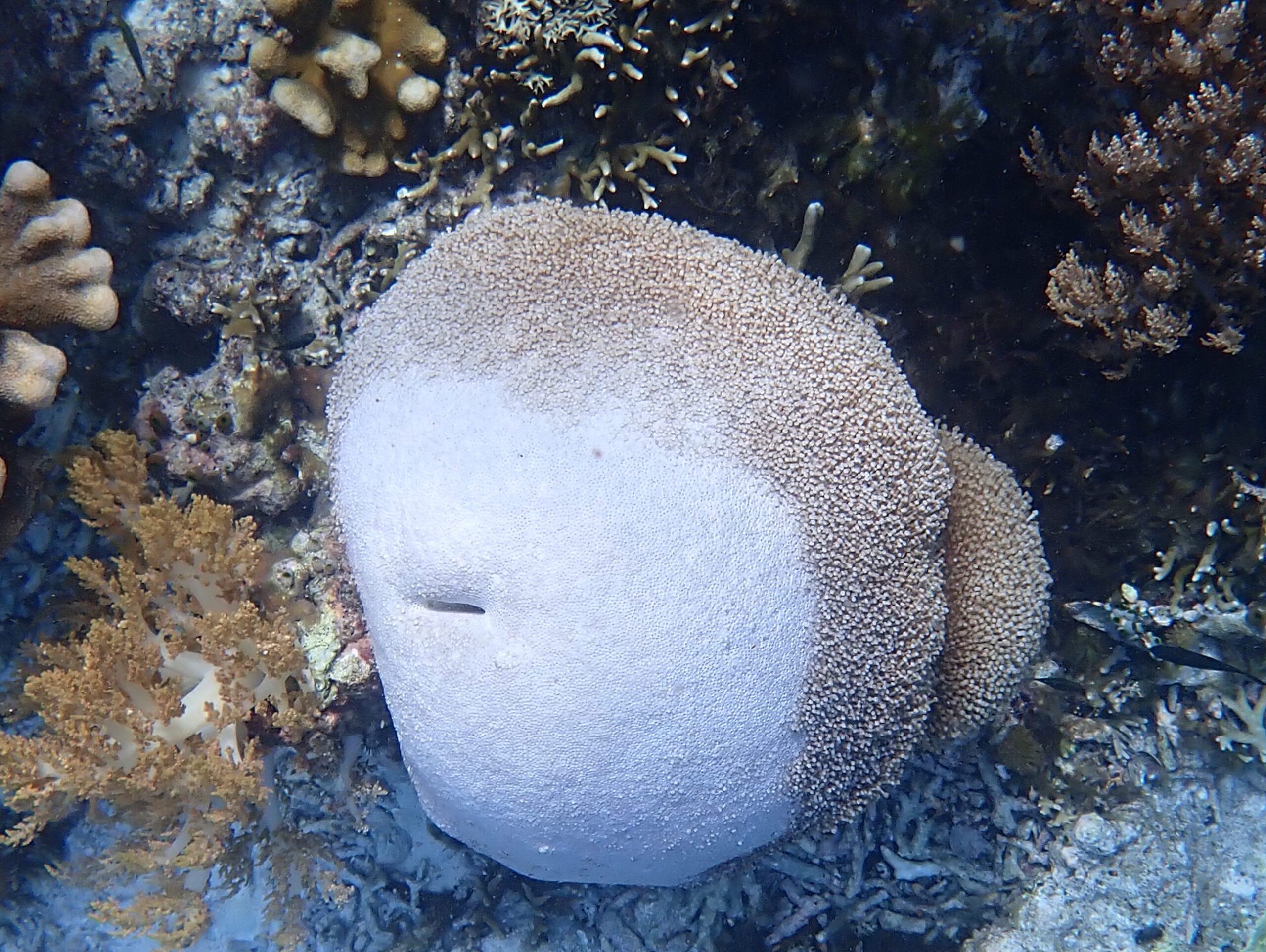
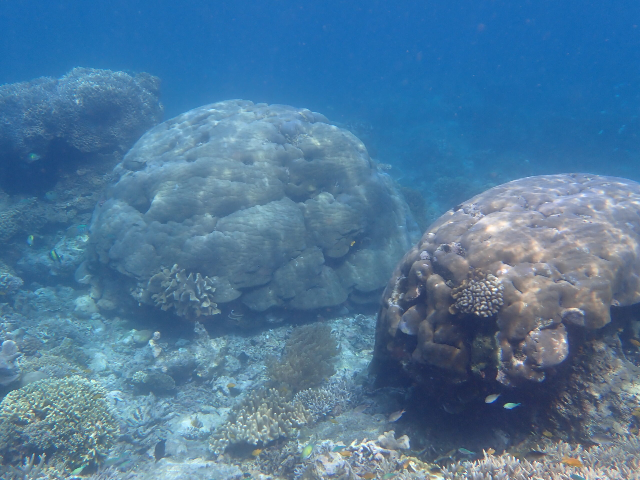
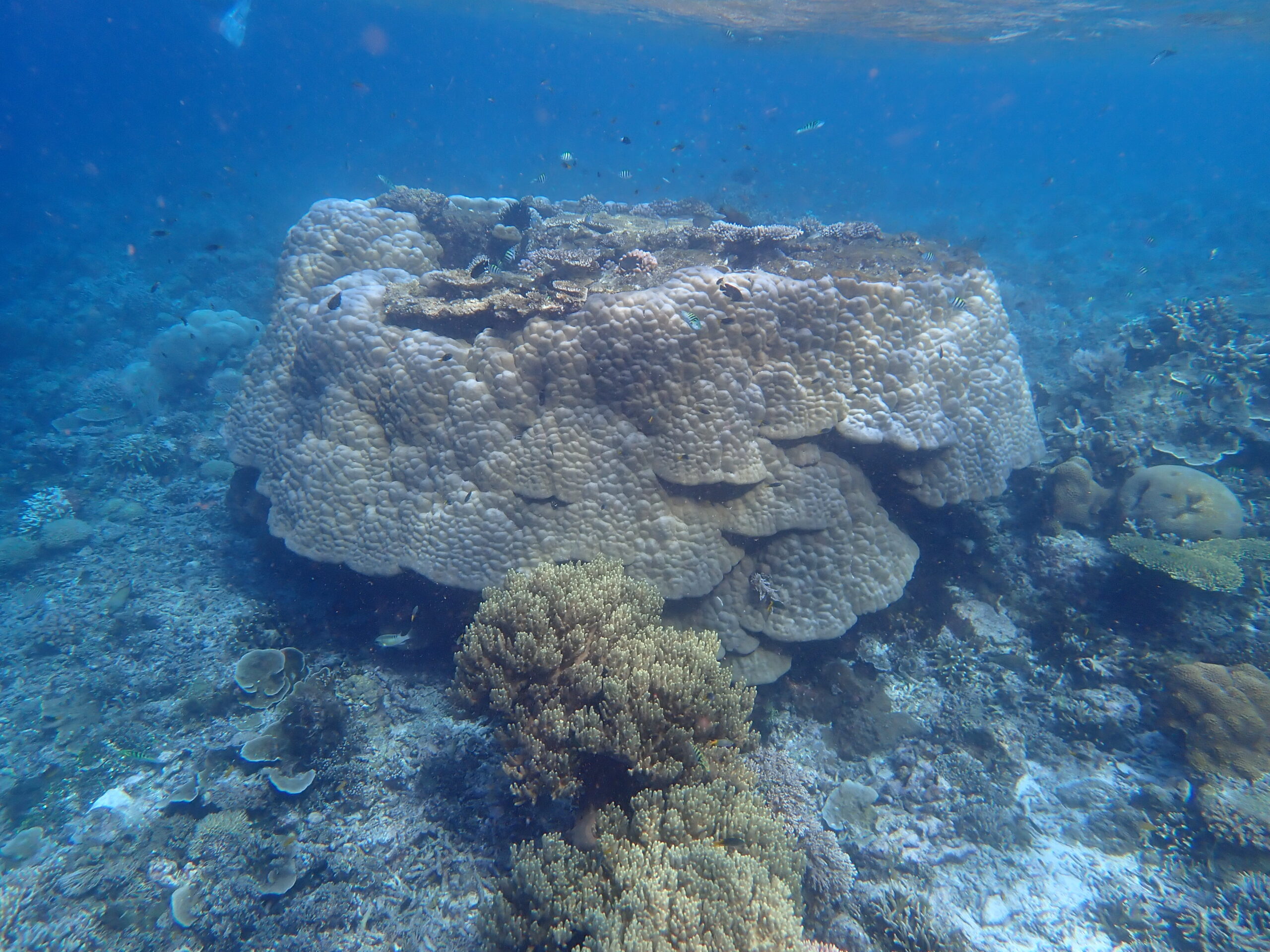
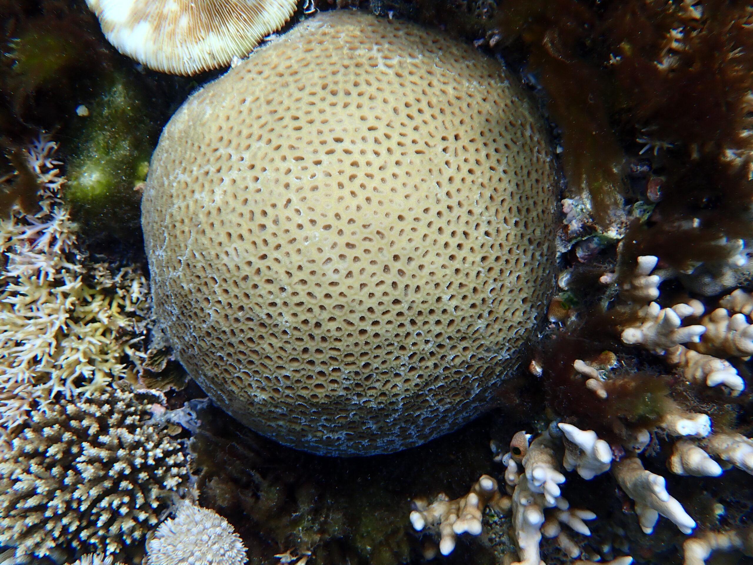
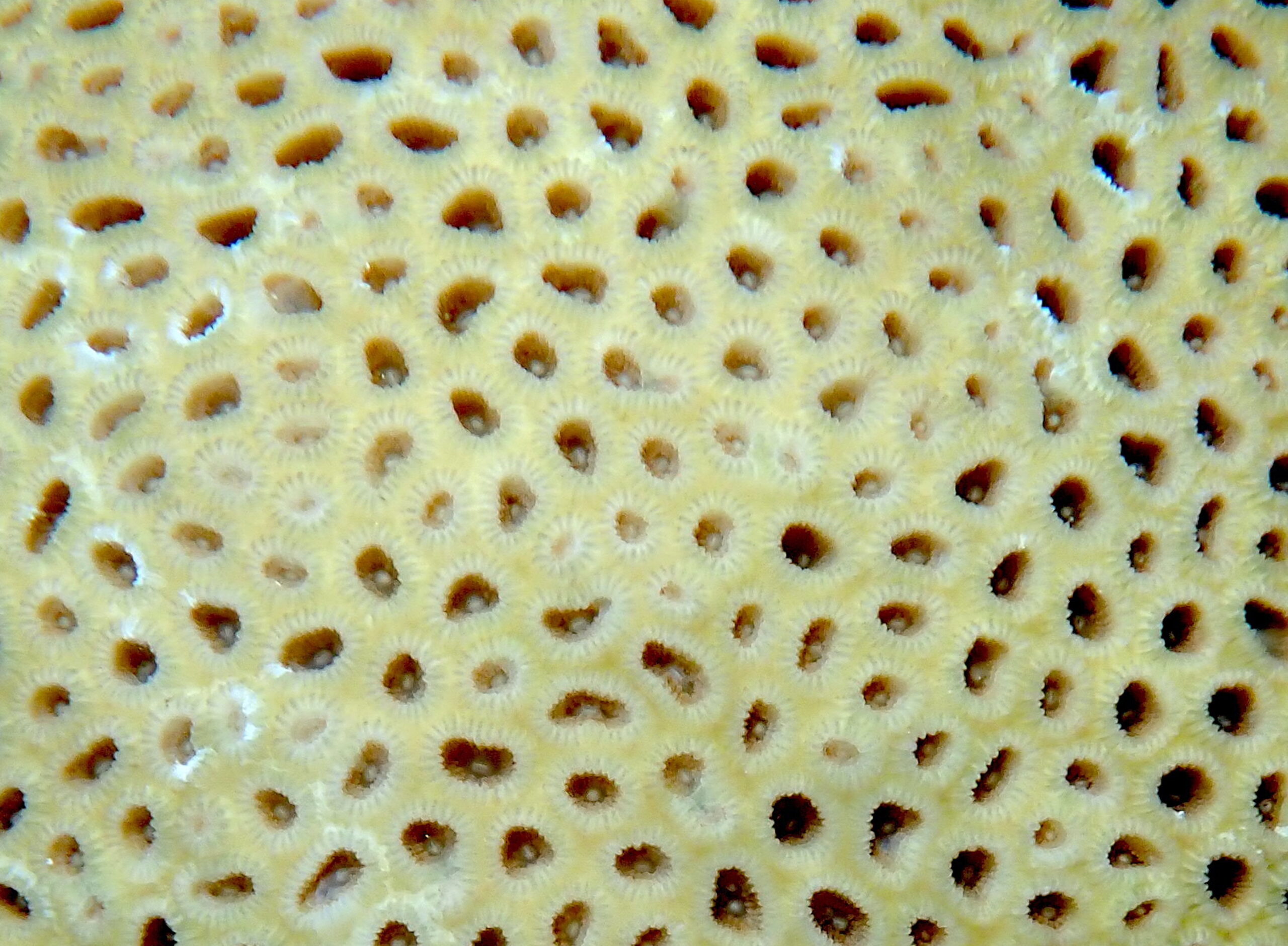
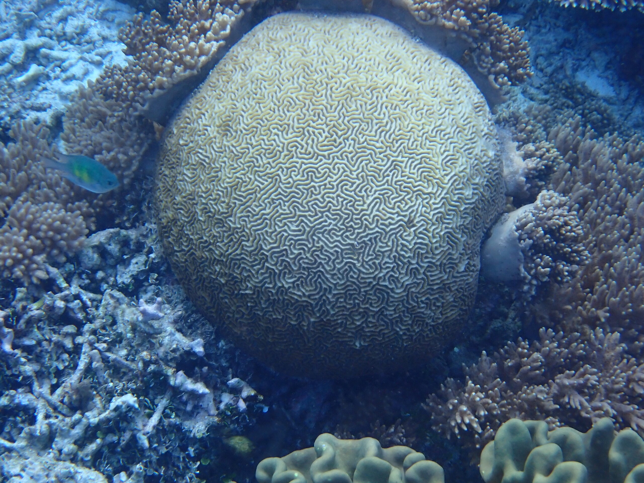
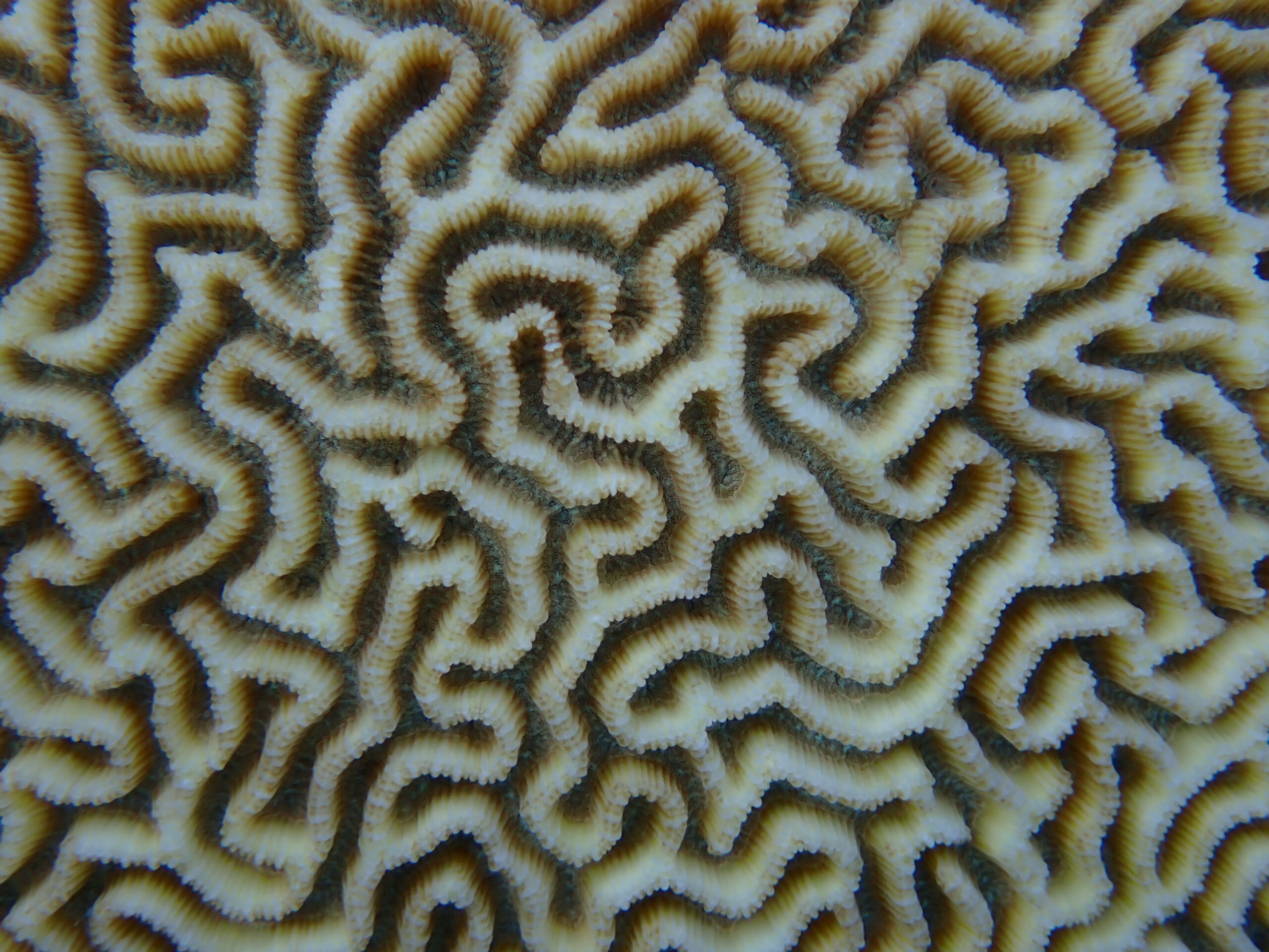
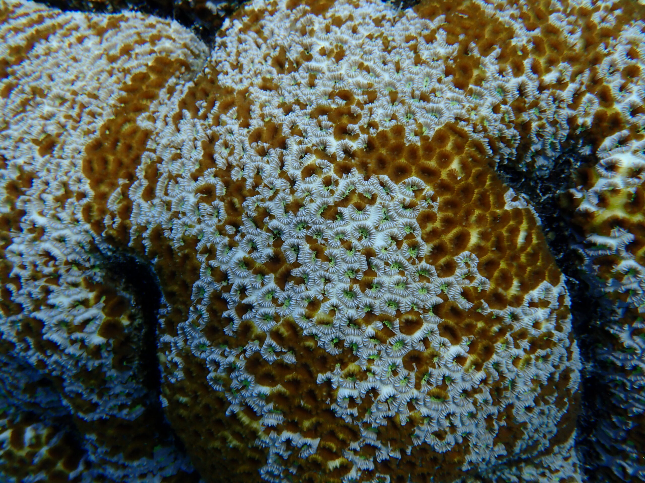
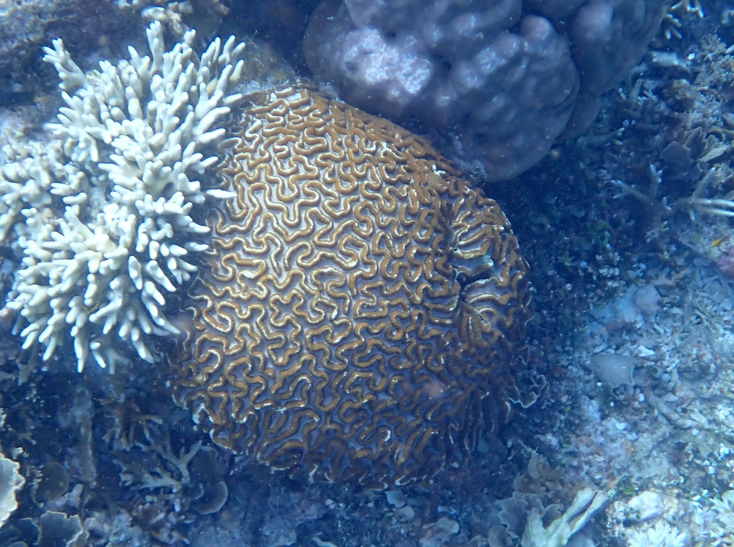
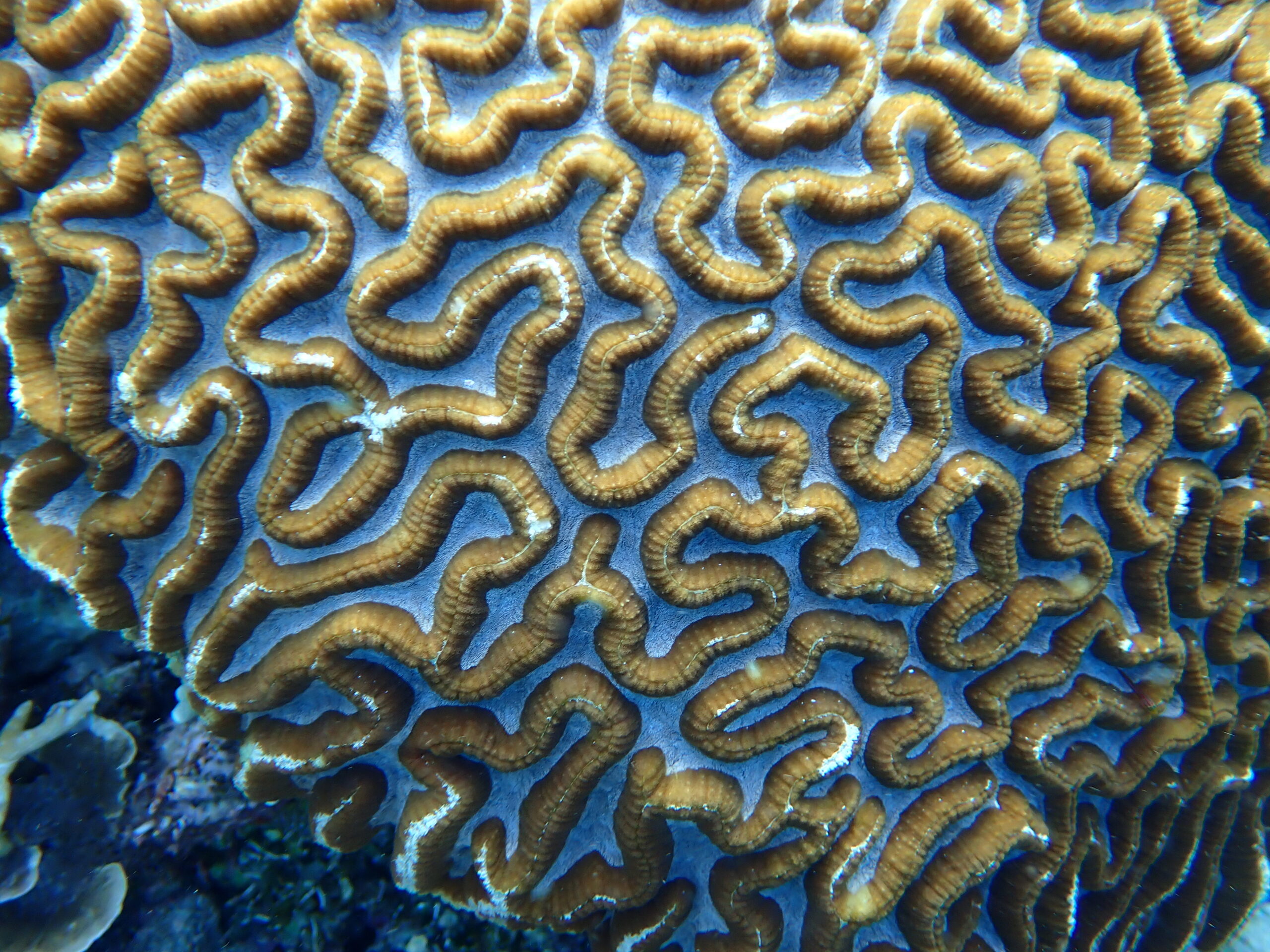
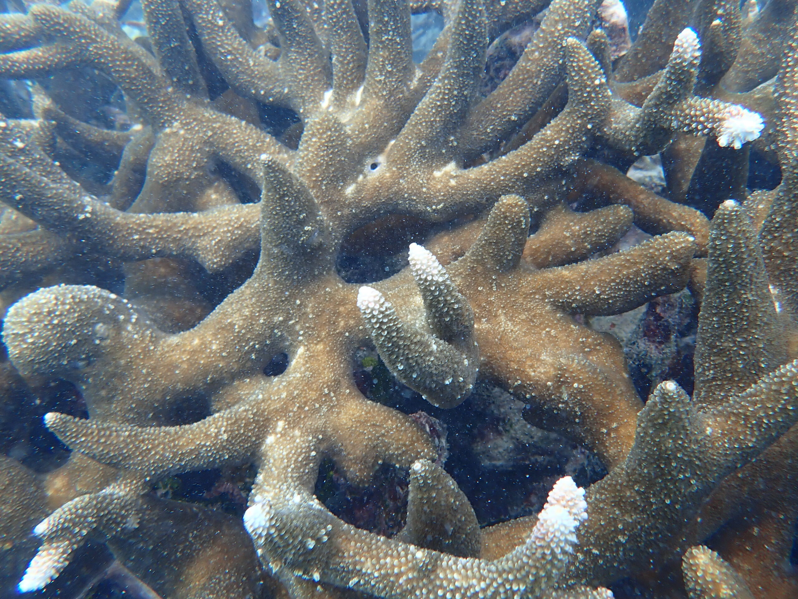
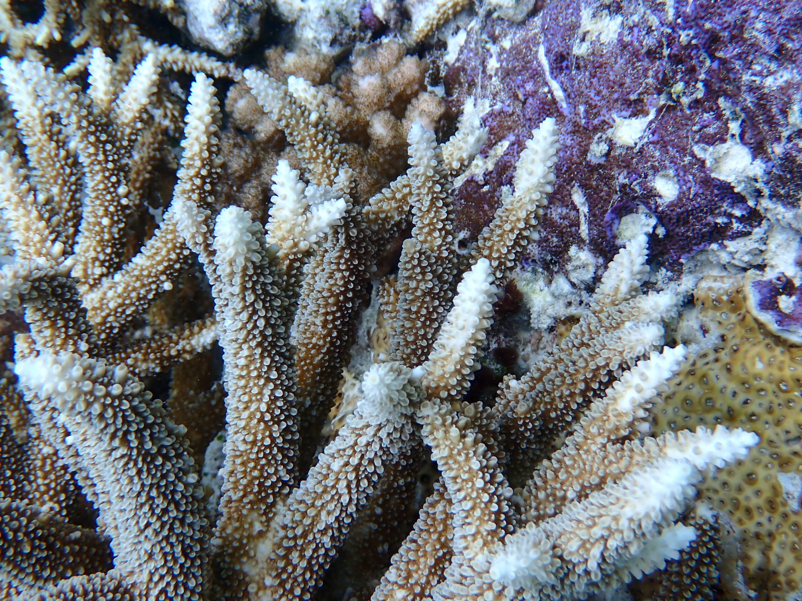
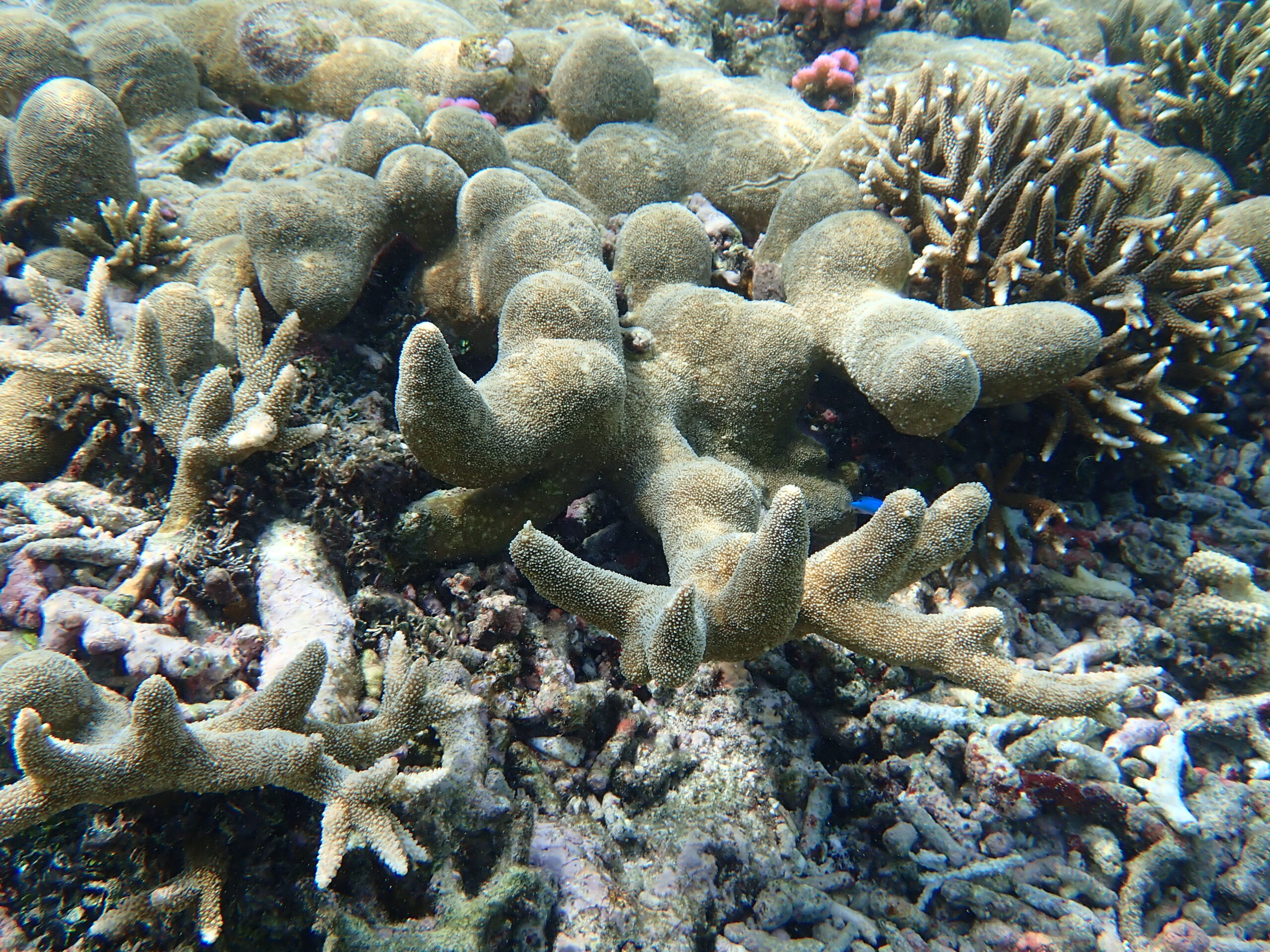
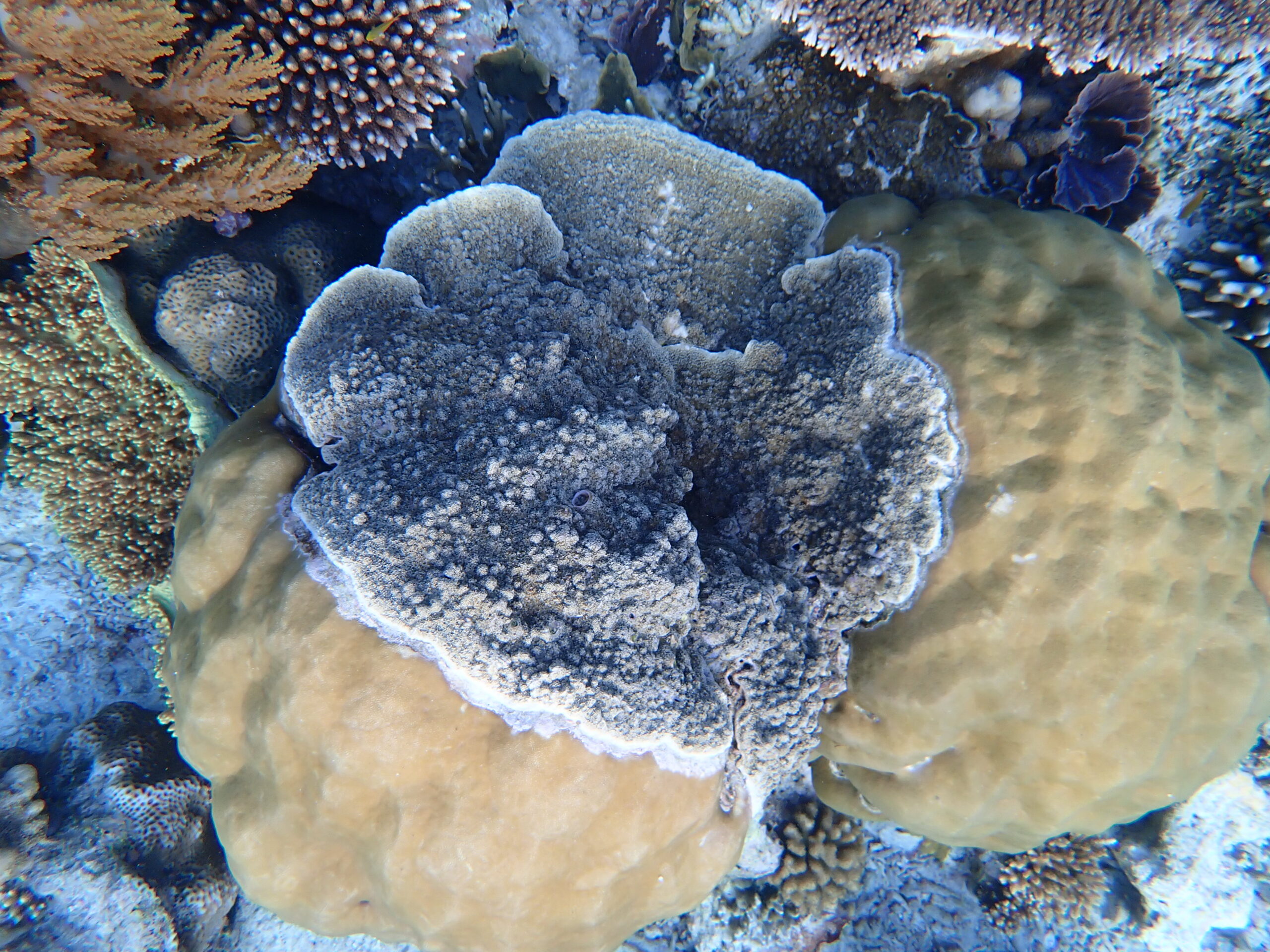
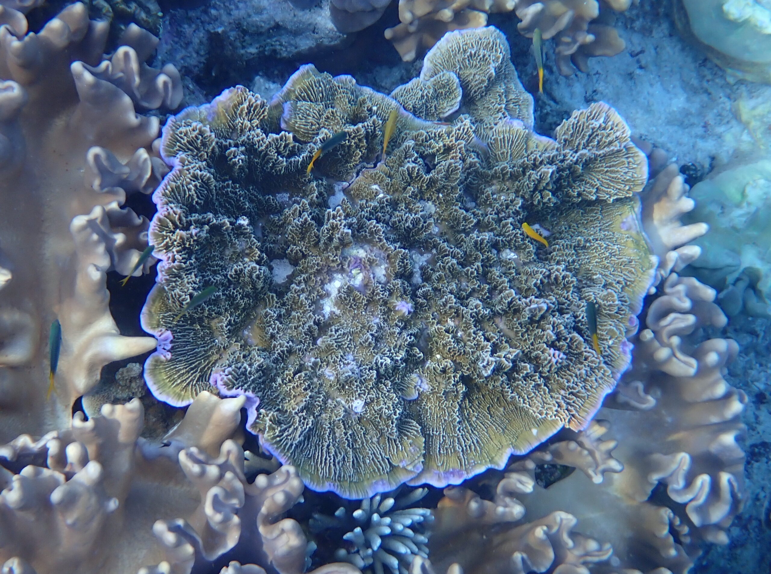
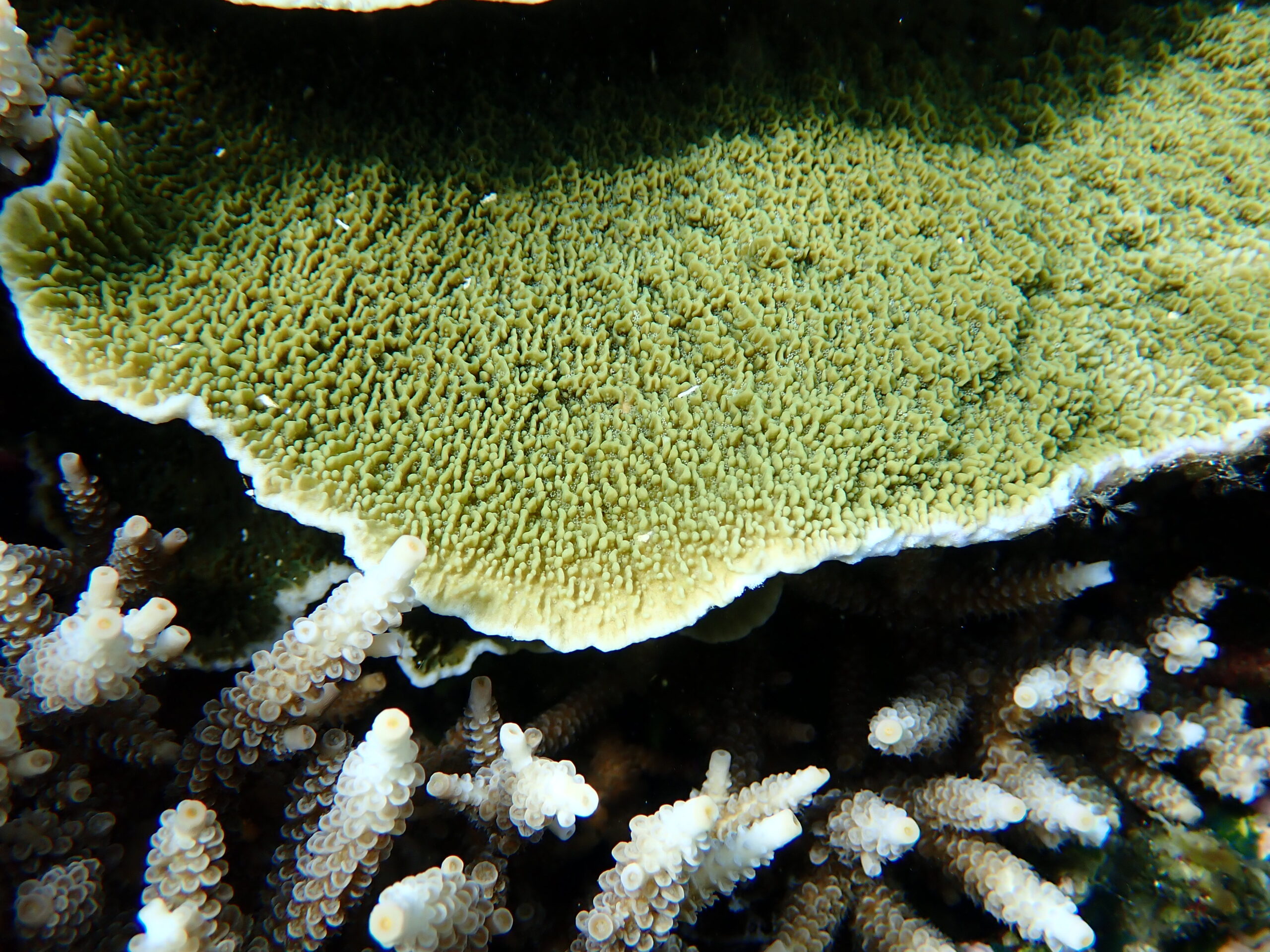
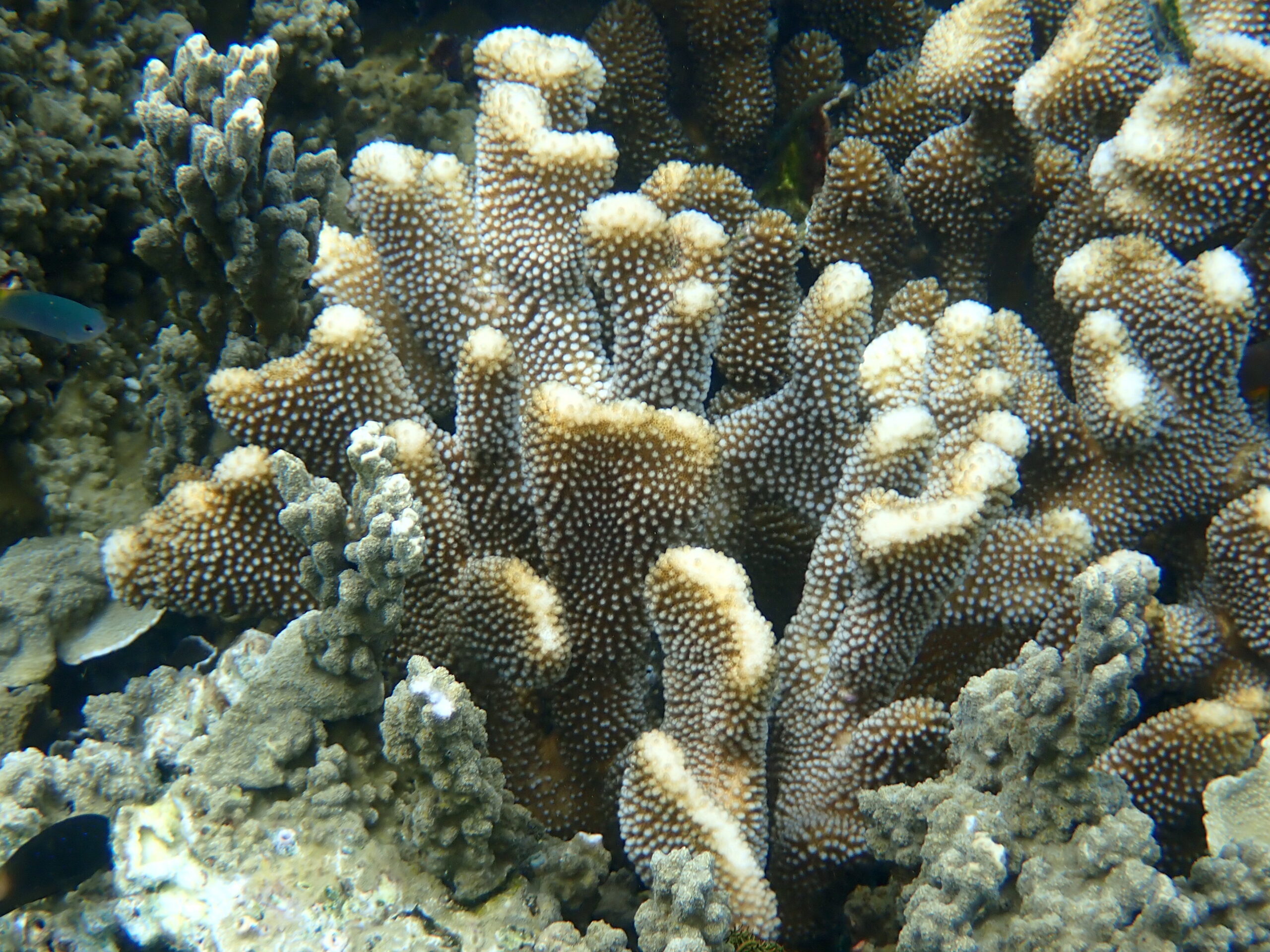
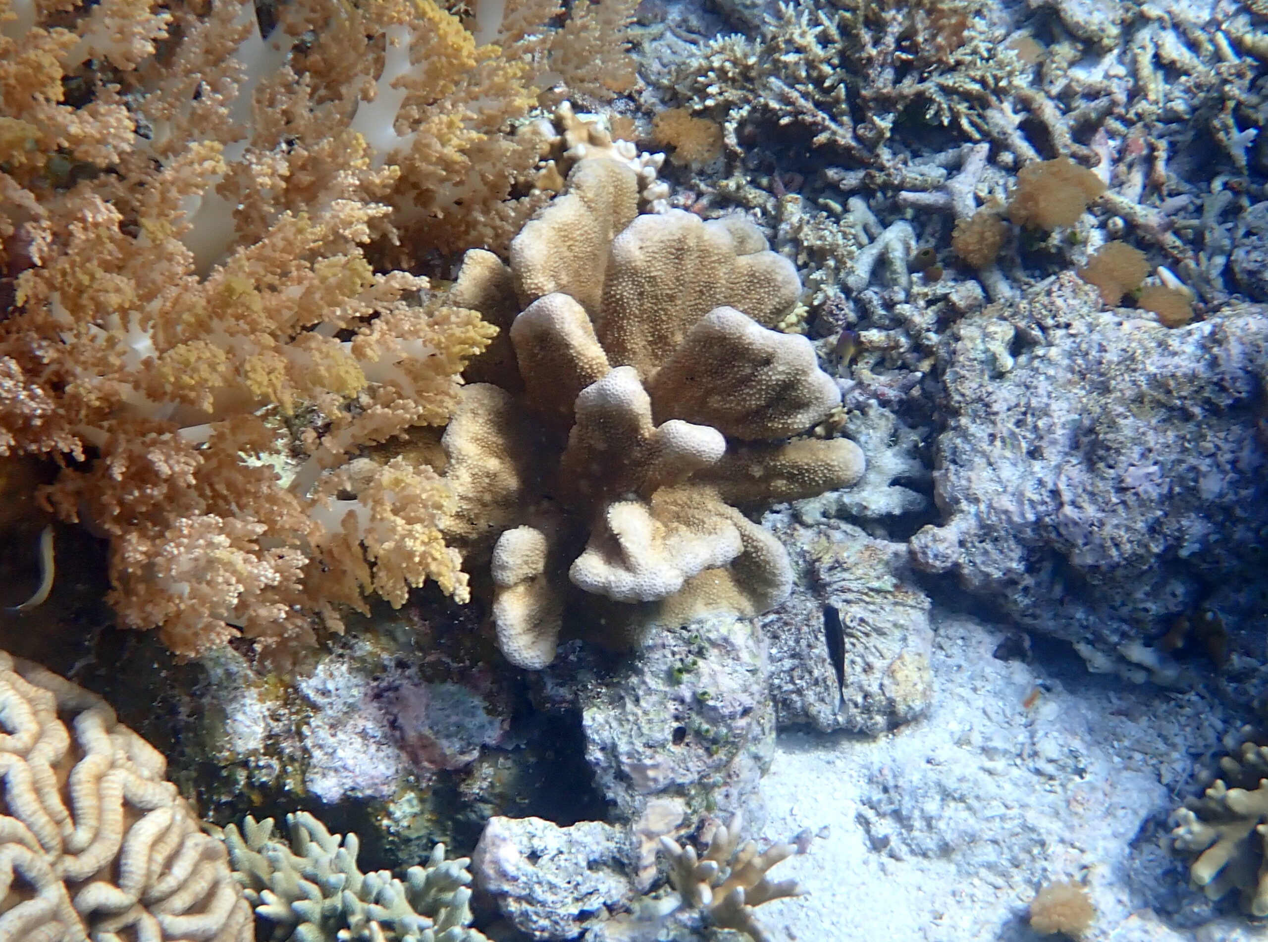
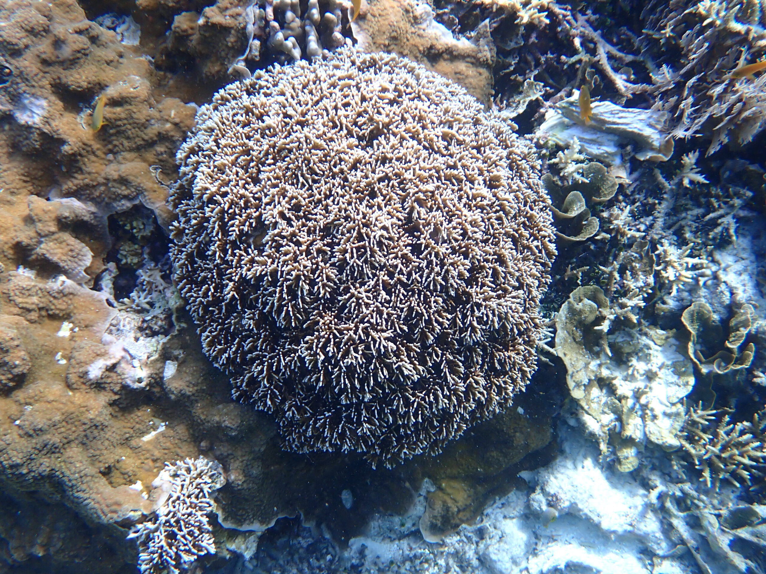
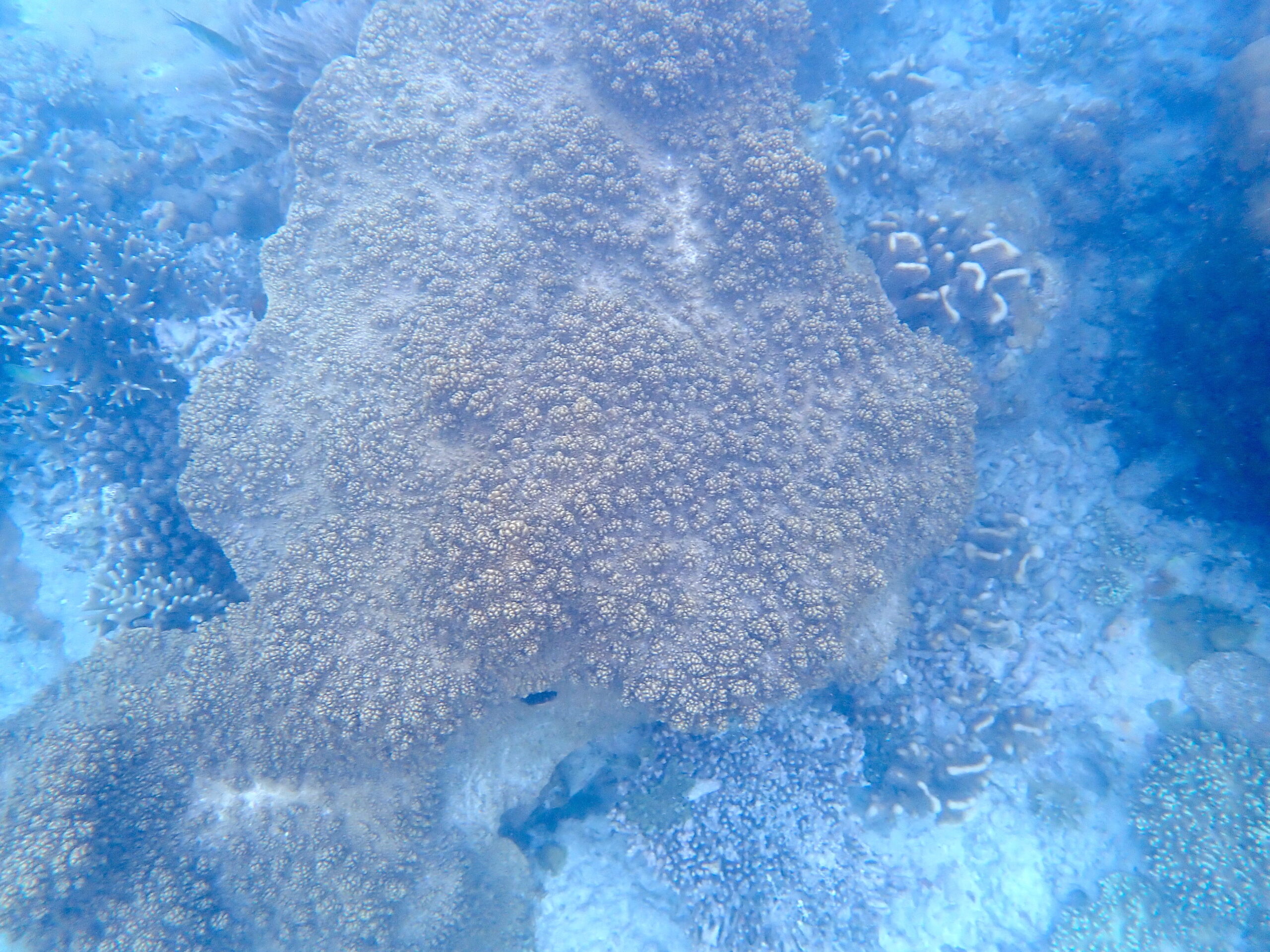
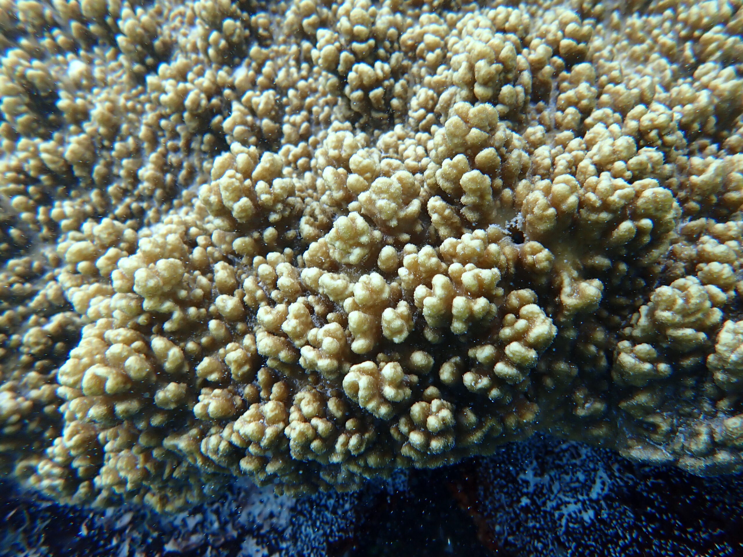
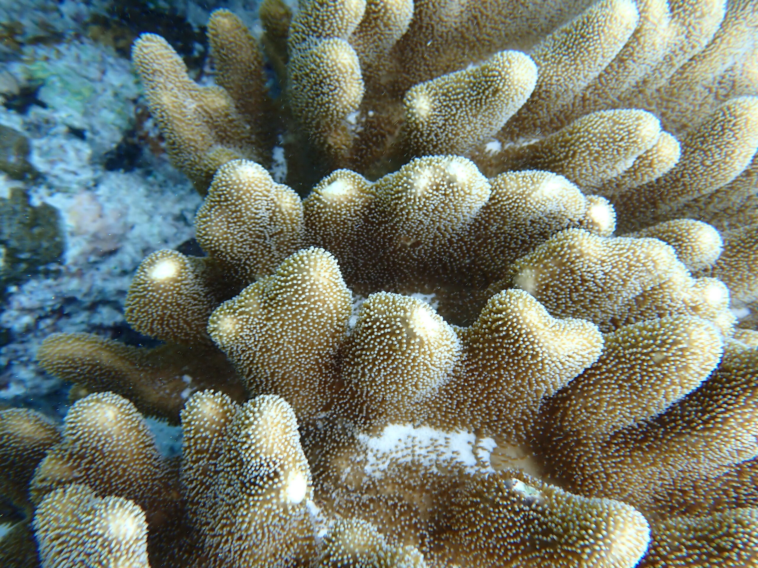
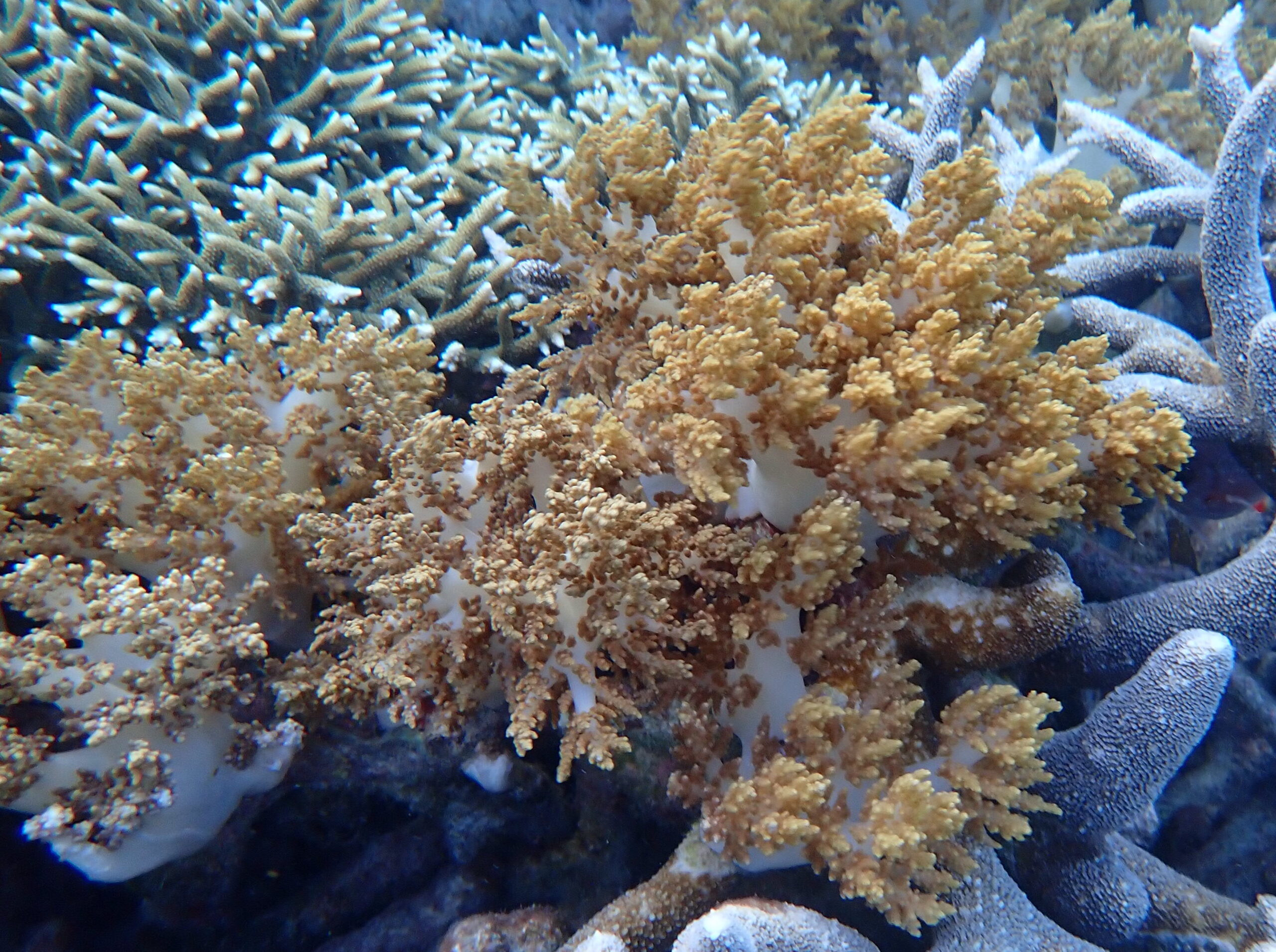
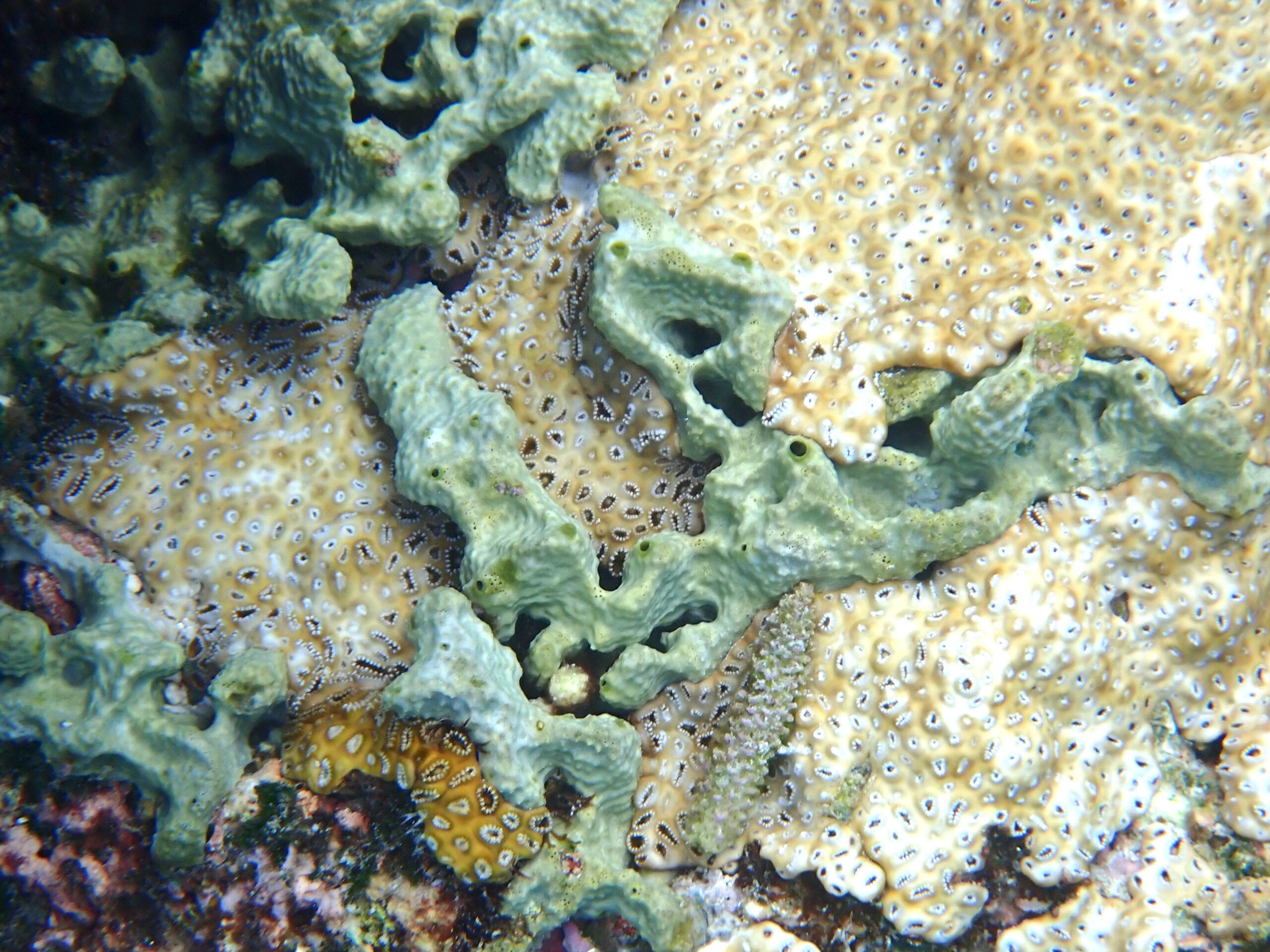
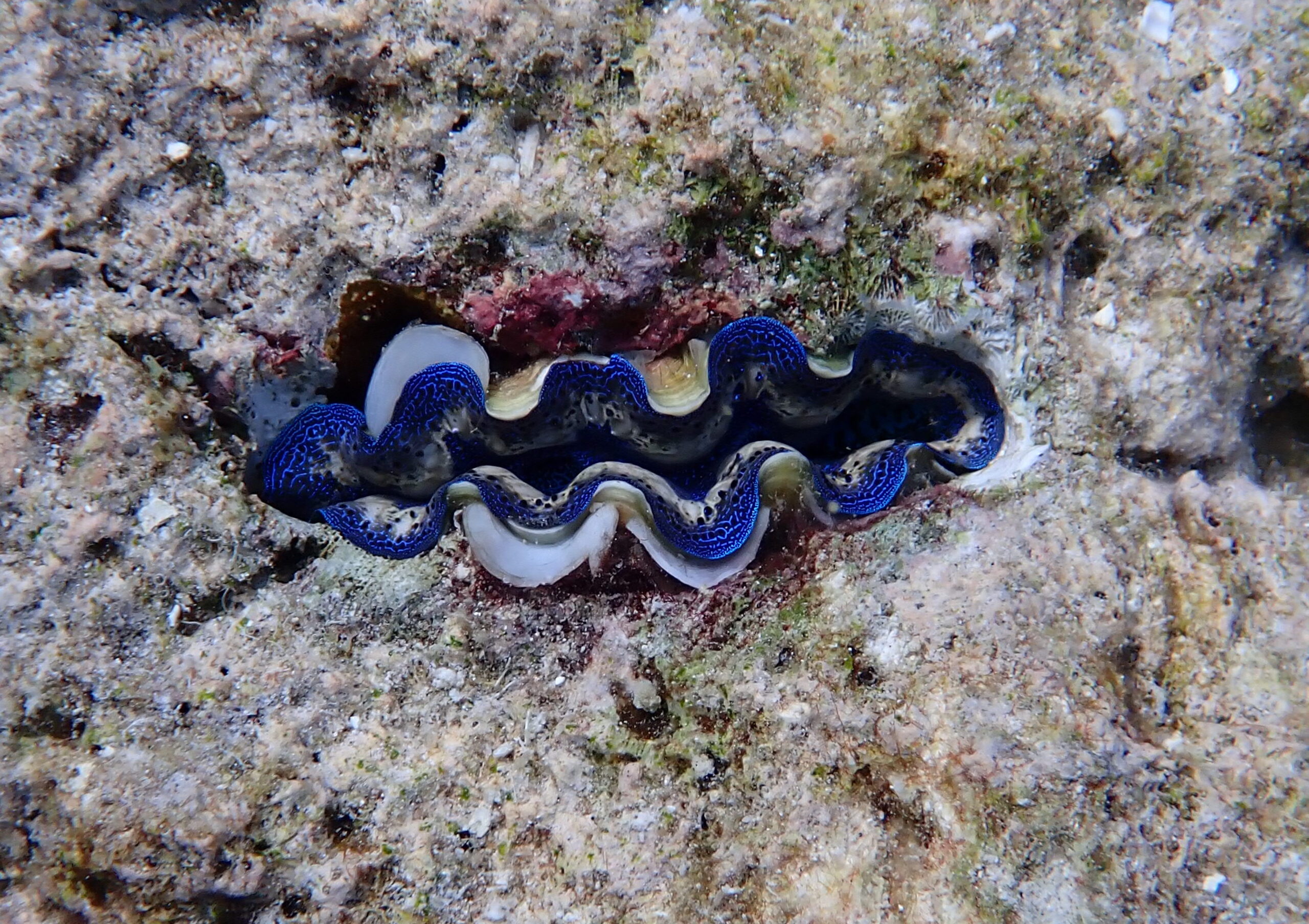
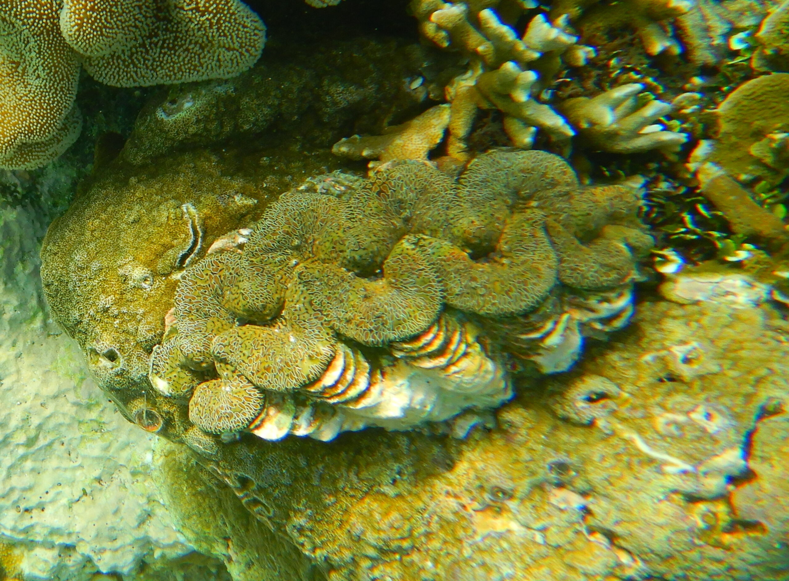
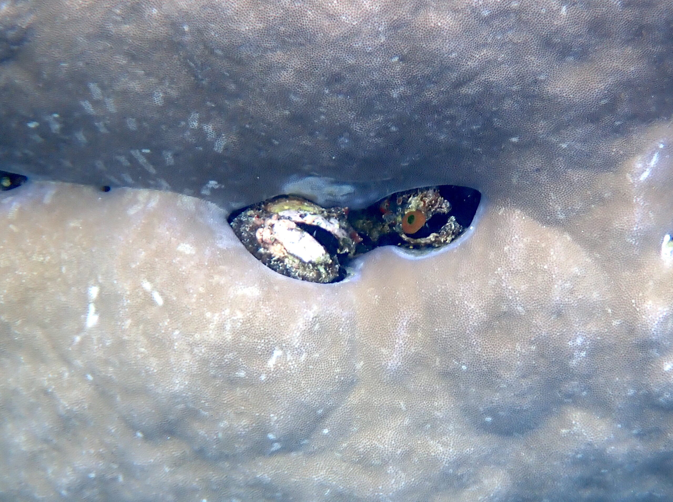
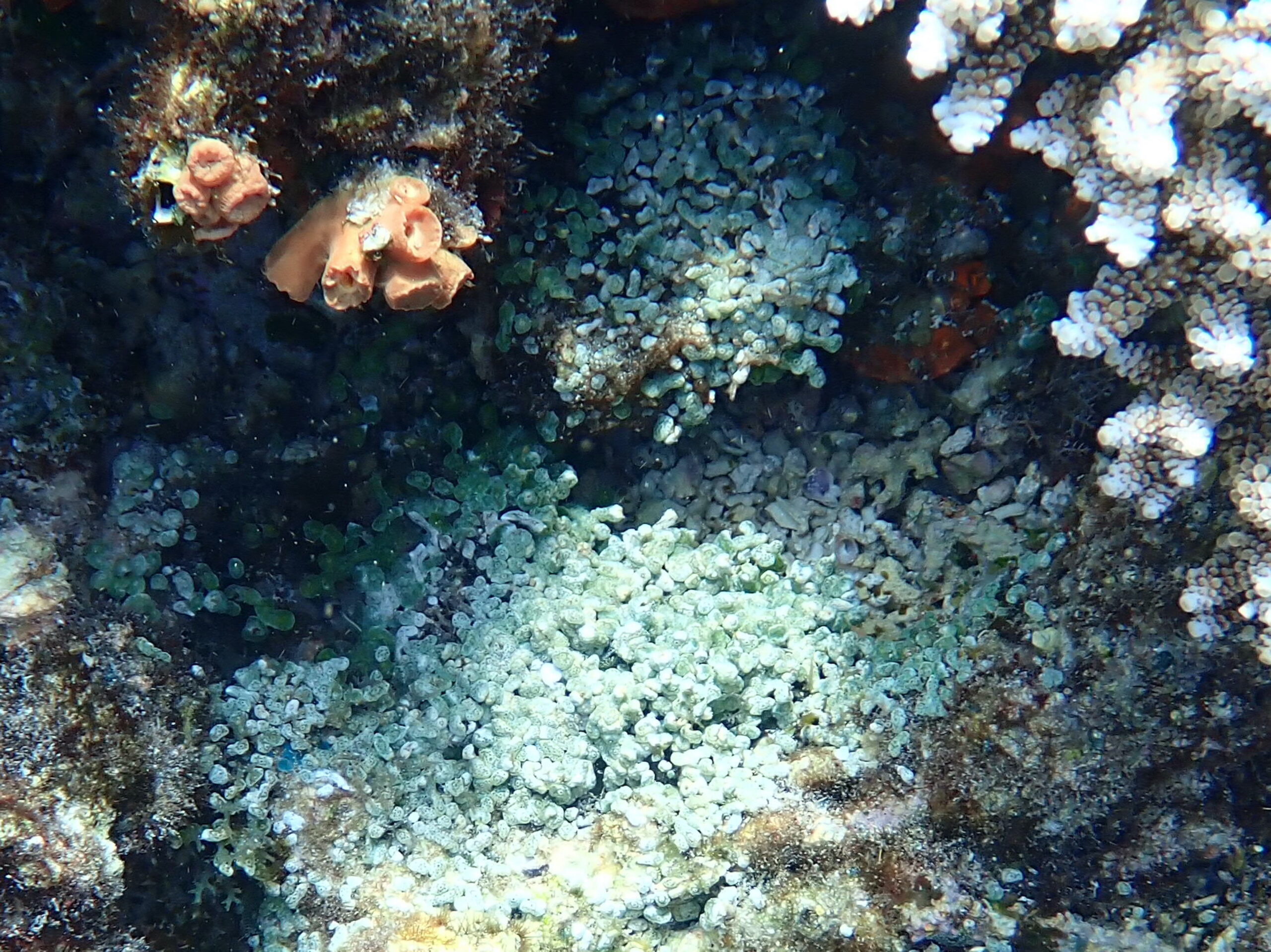
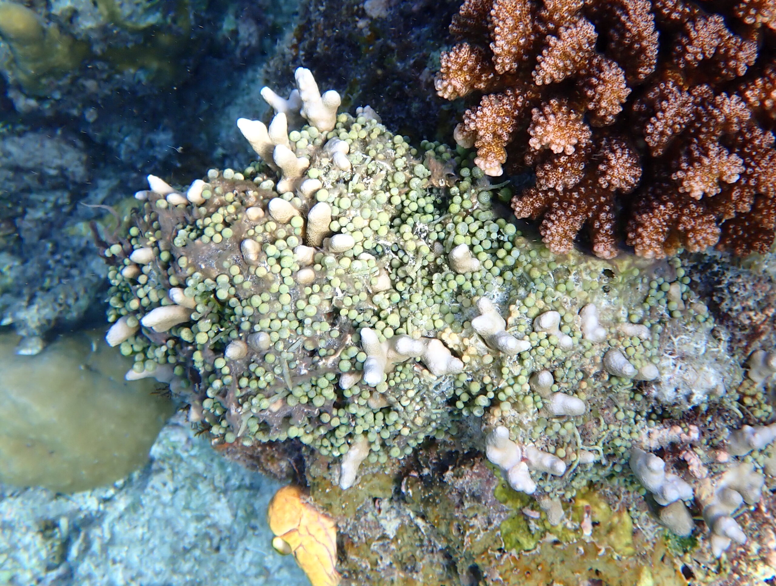
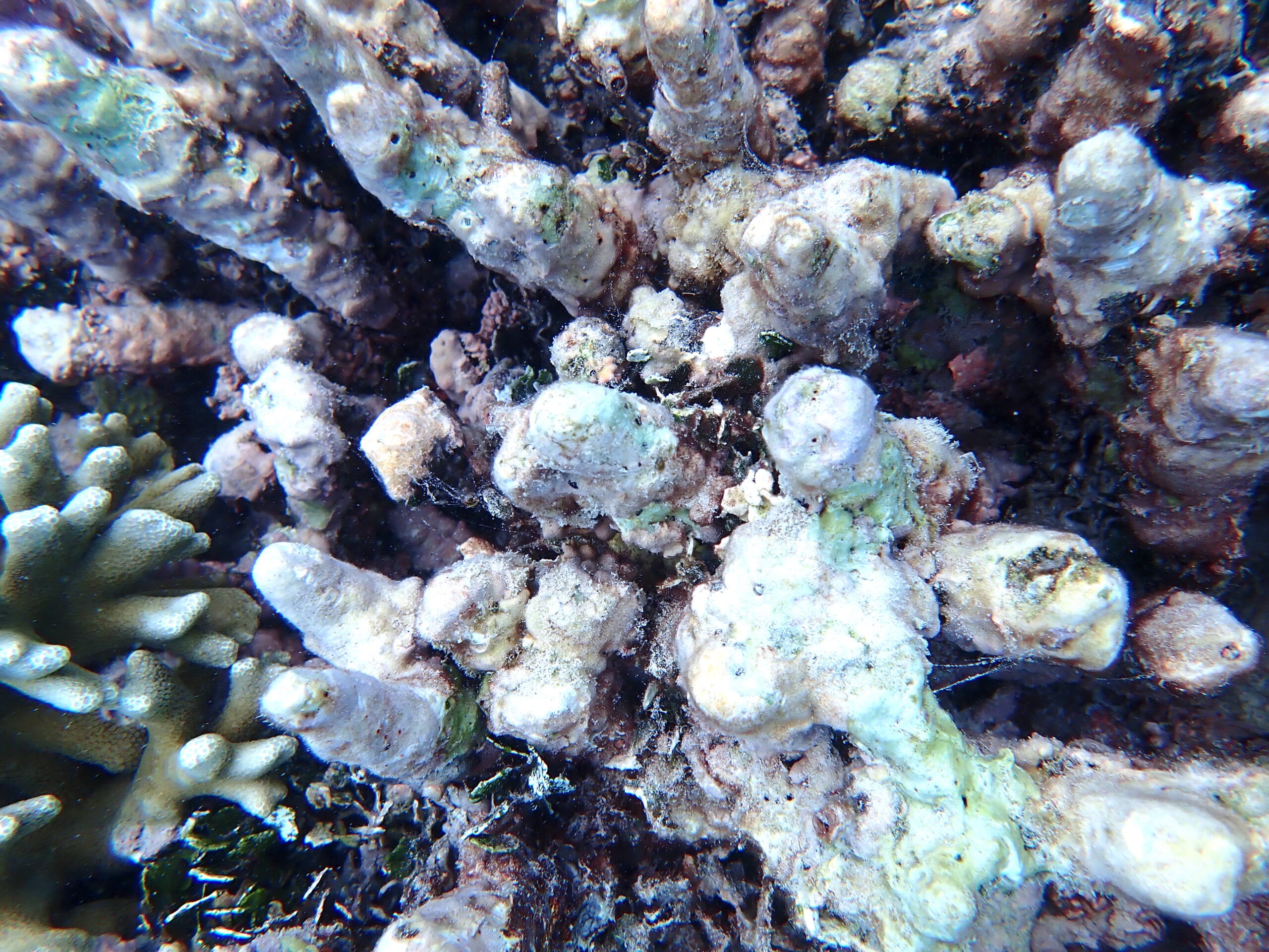
To the north of entry point 1 or from entry point 3 several areas with substantial Porites coral can be found. This area also supports a range of species not noted to the south of the area, including shoals of Palette Surgeonfish and some sizable Humphead Wrasse.
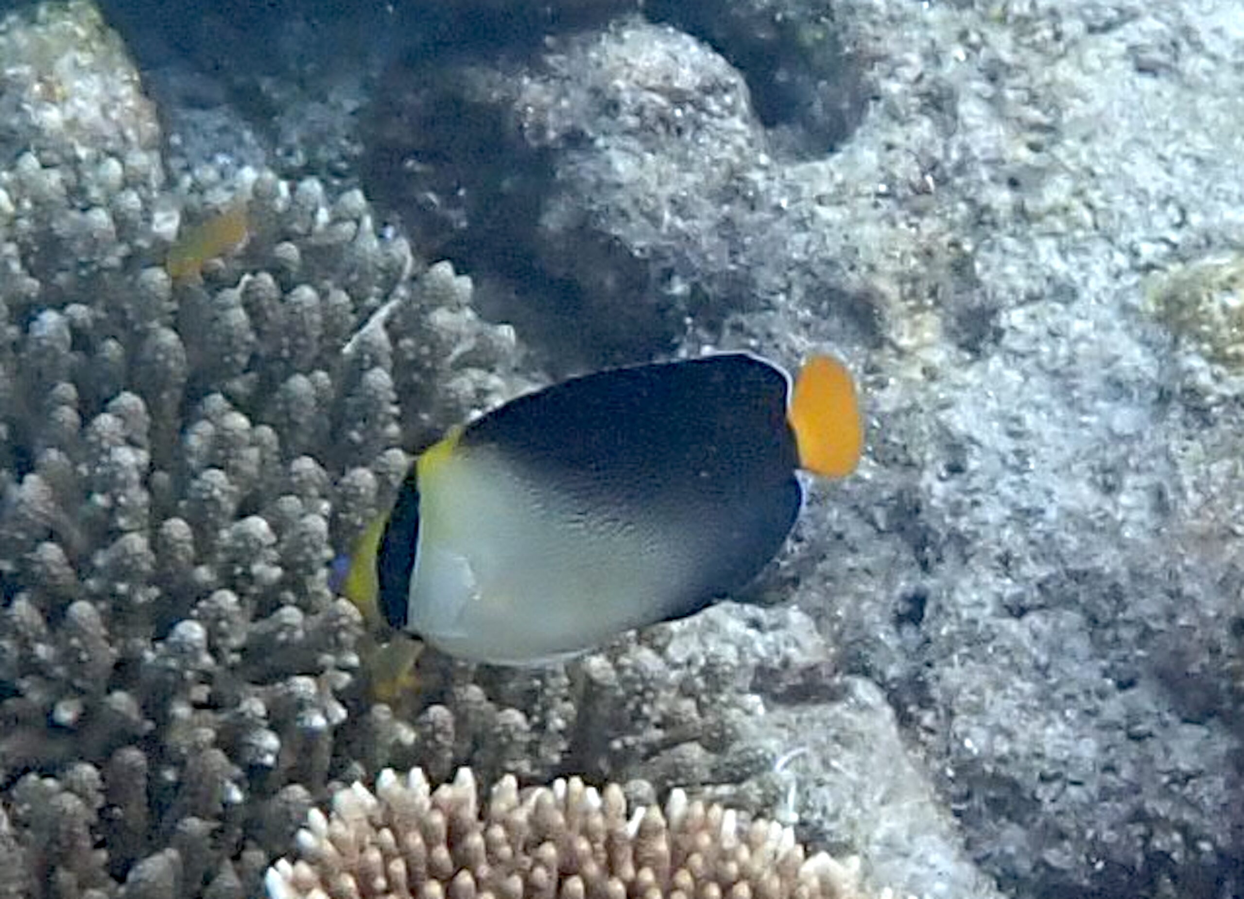
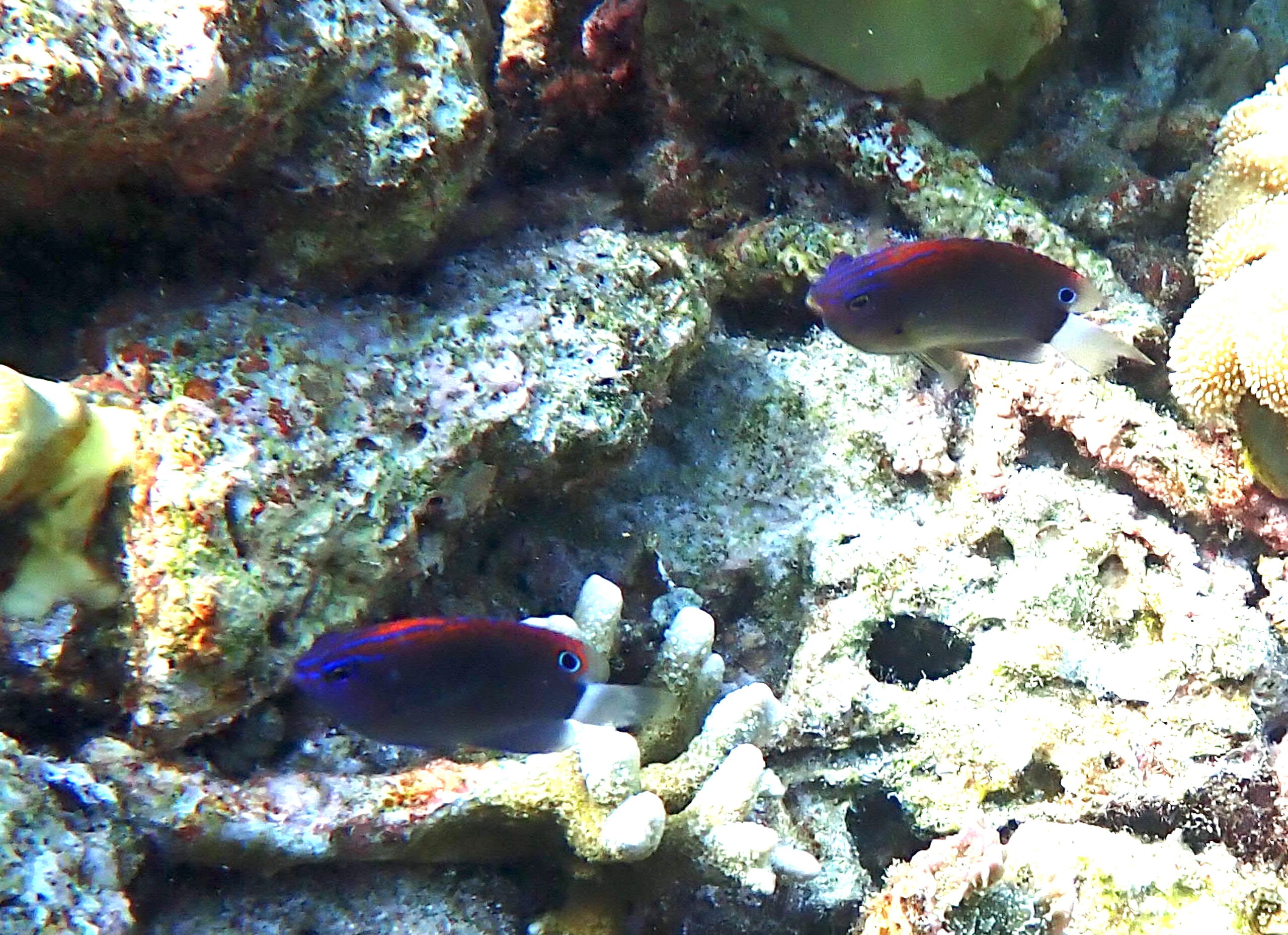
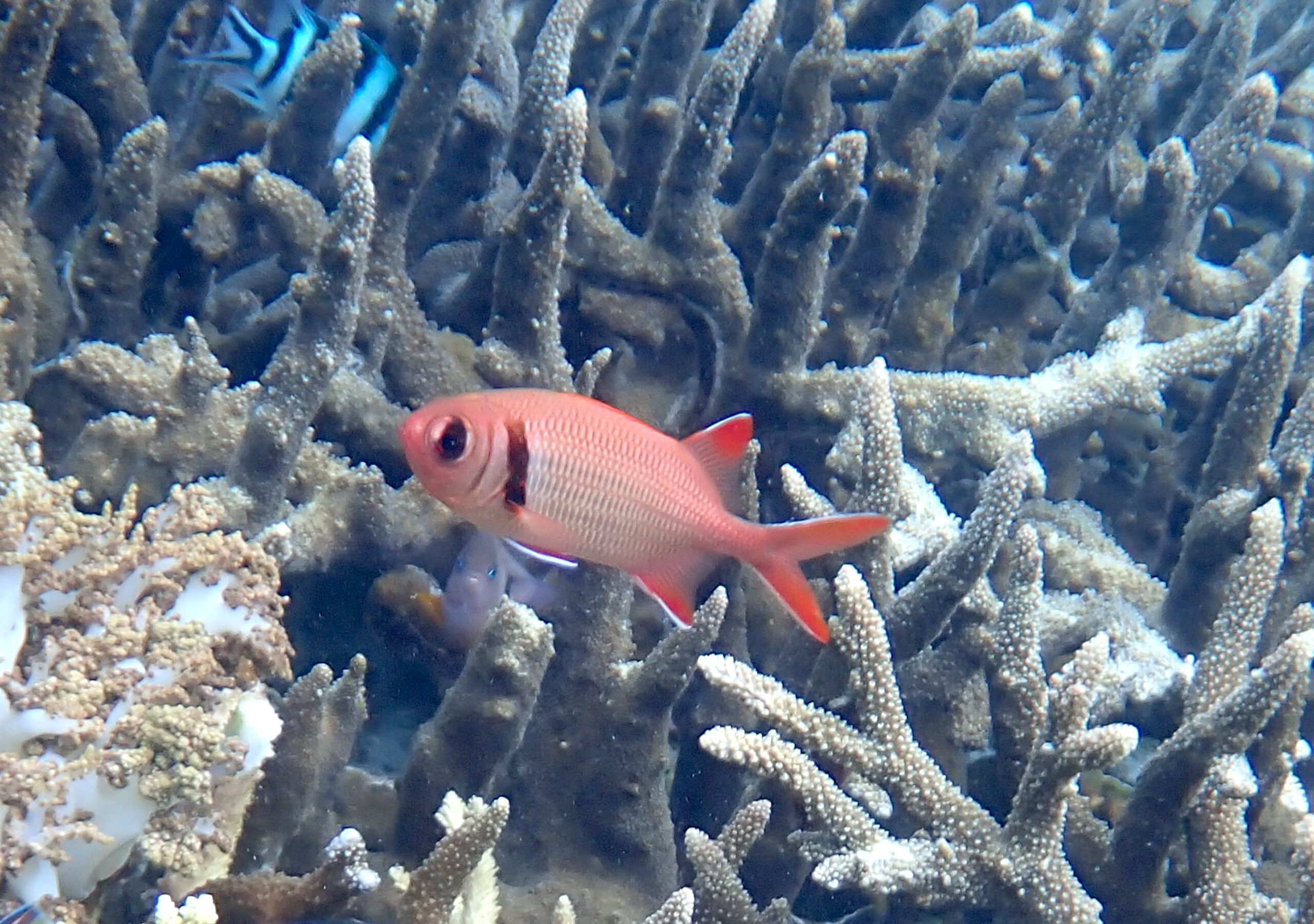
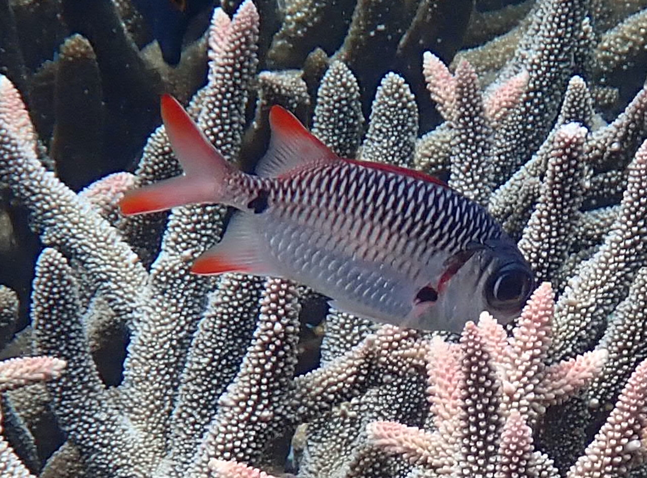
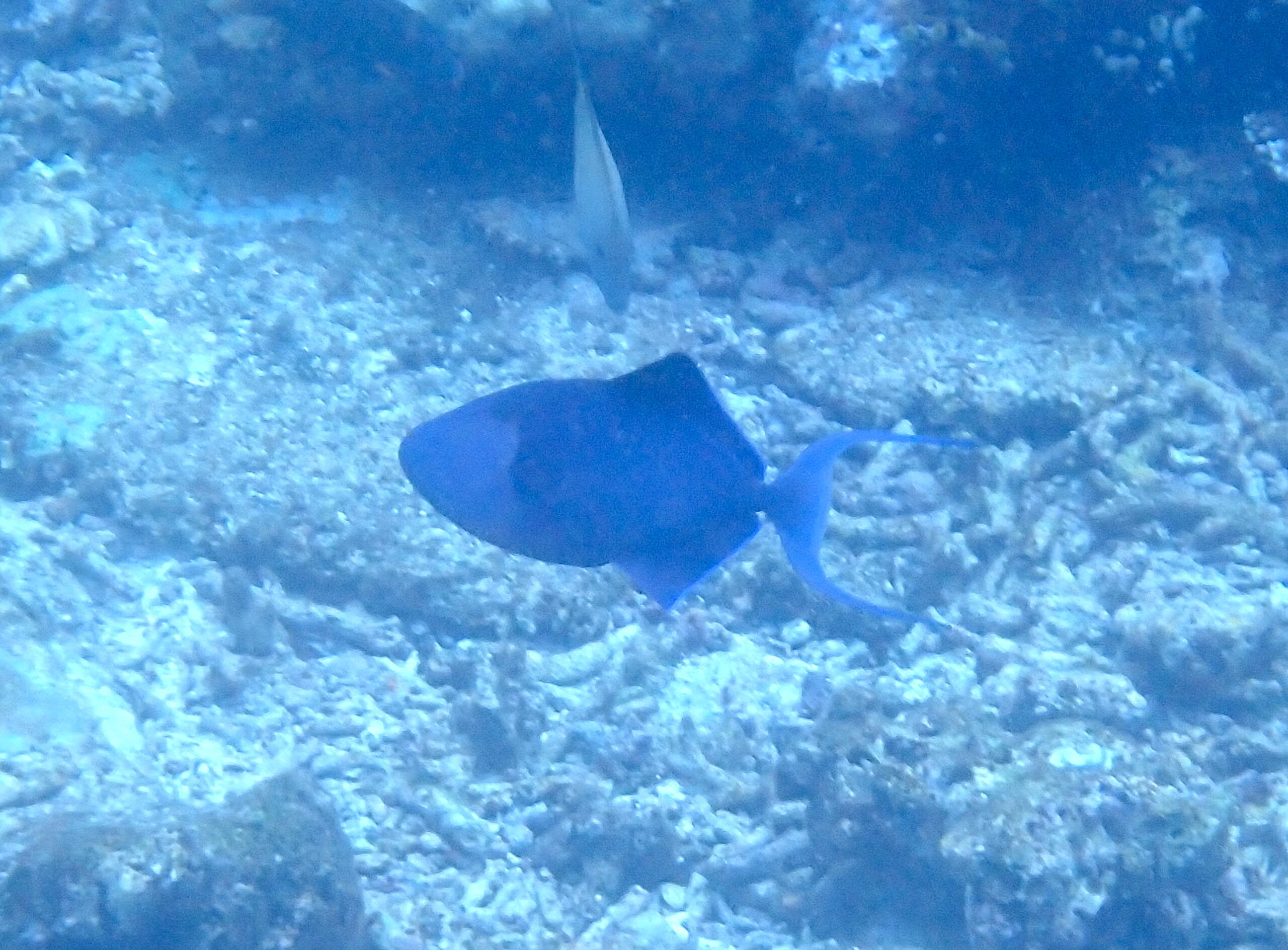
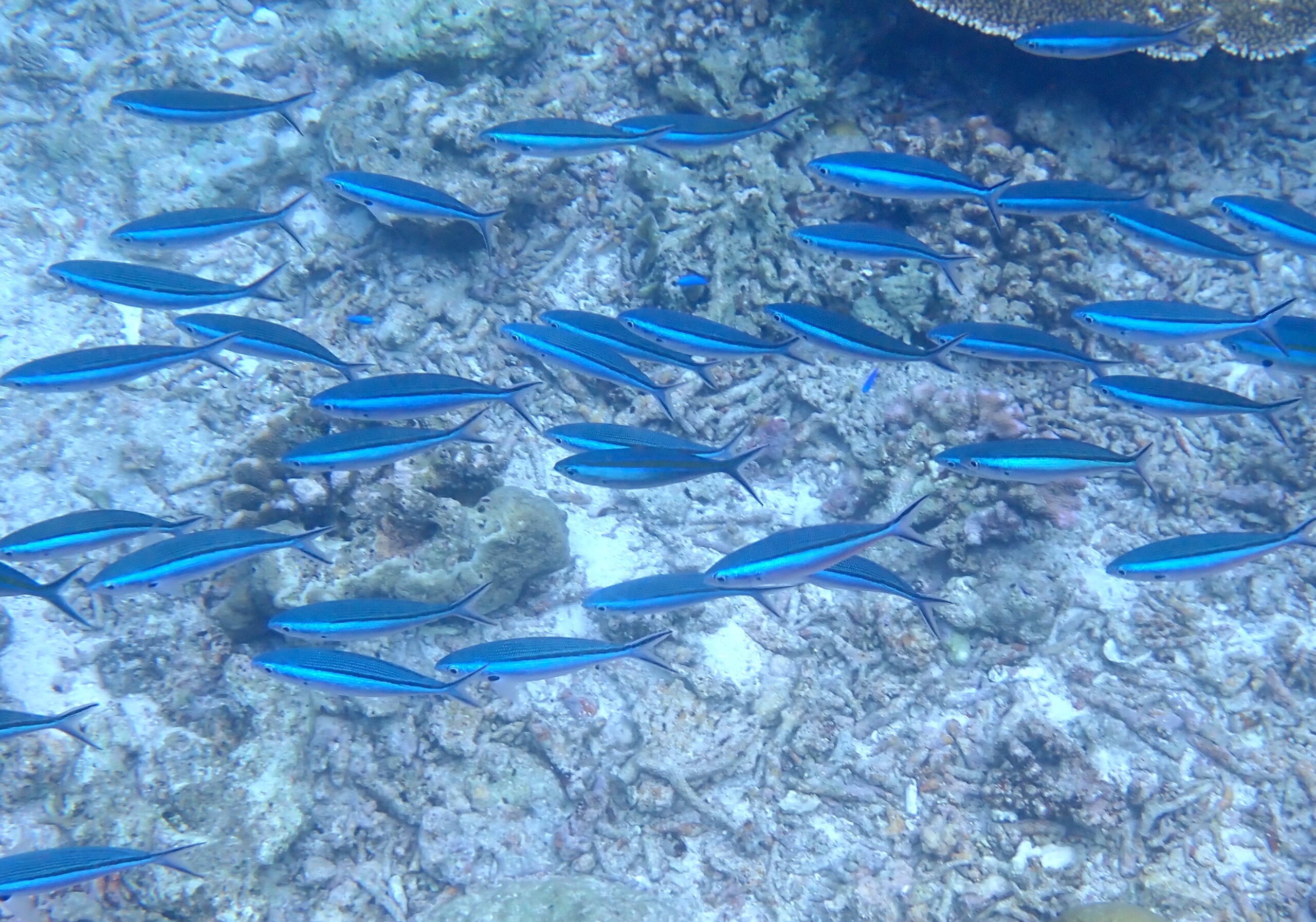
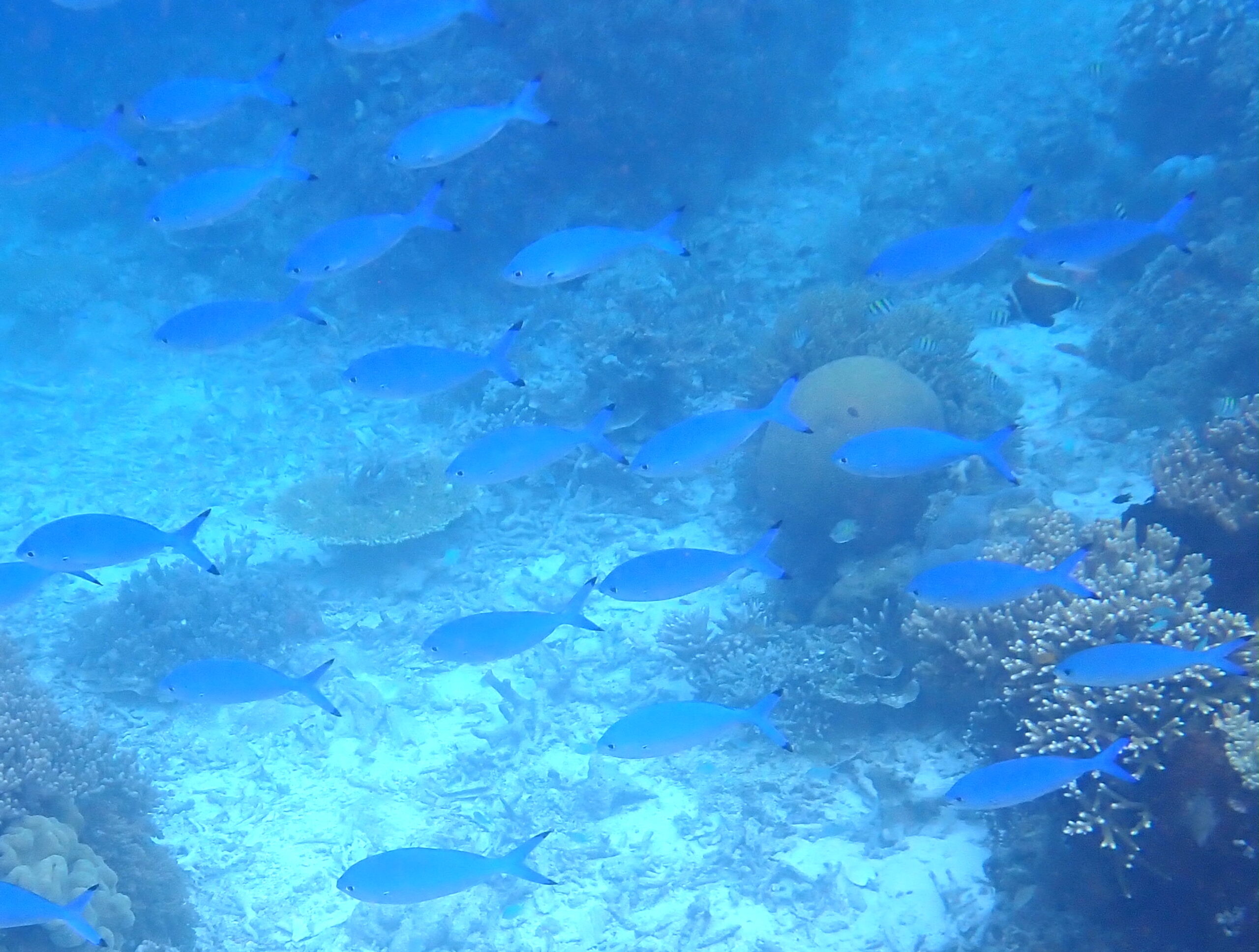
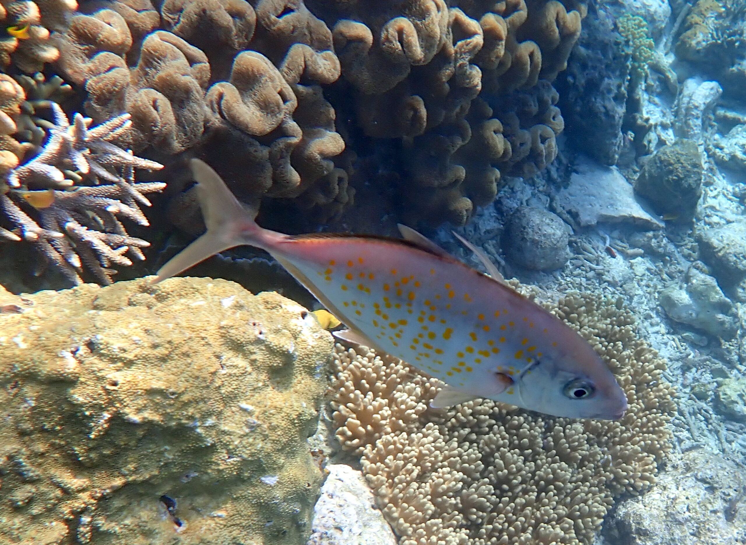
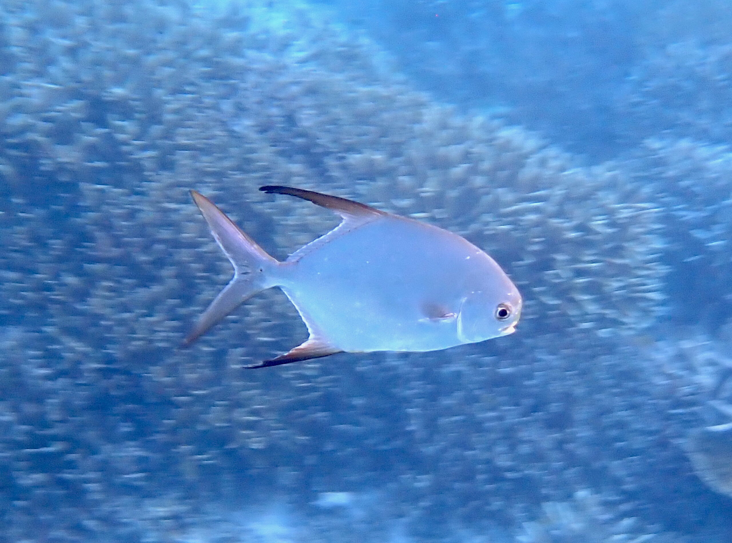
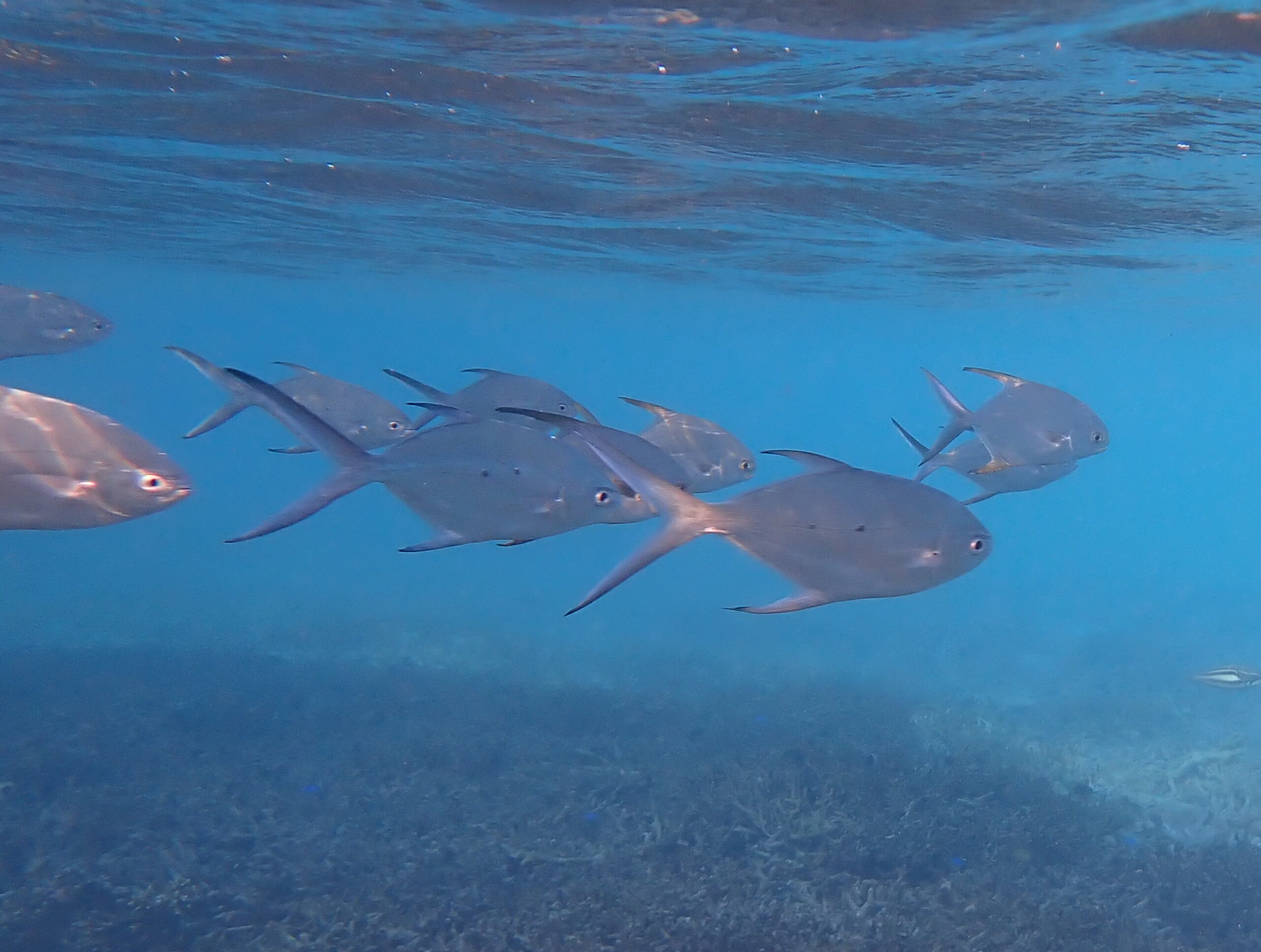
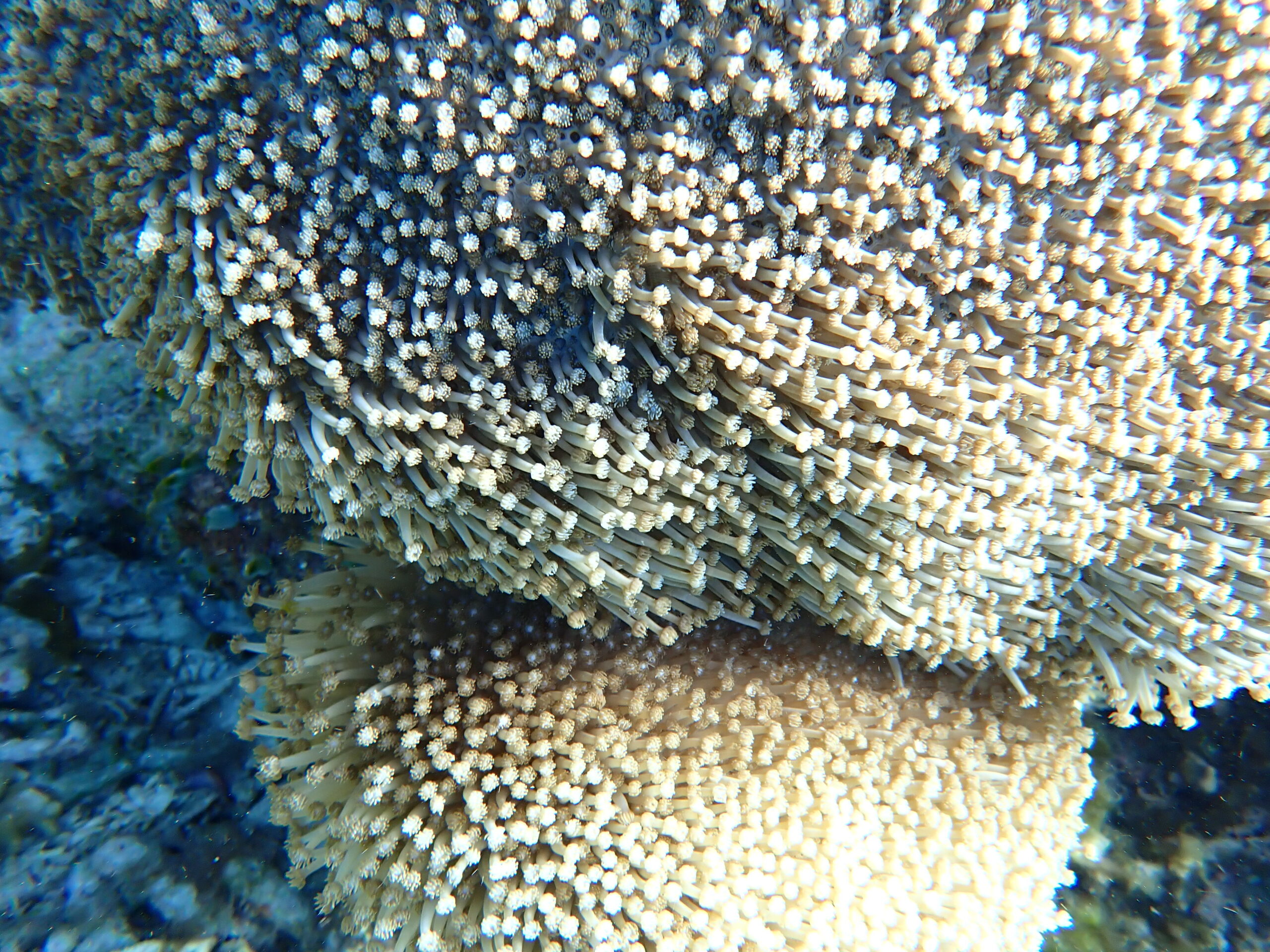
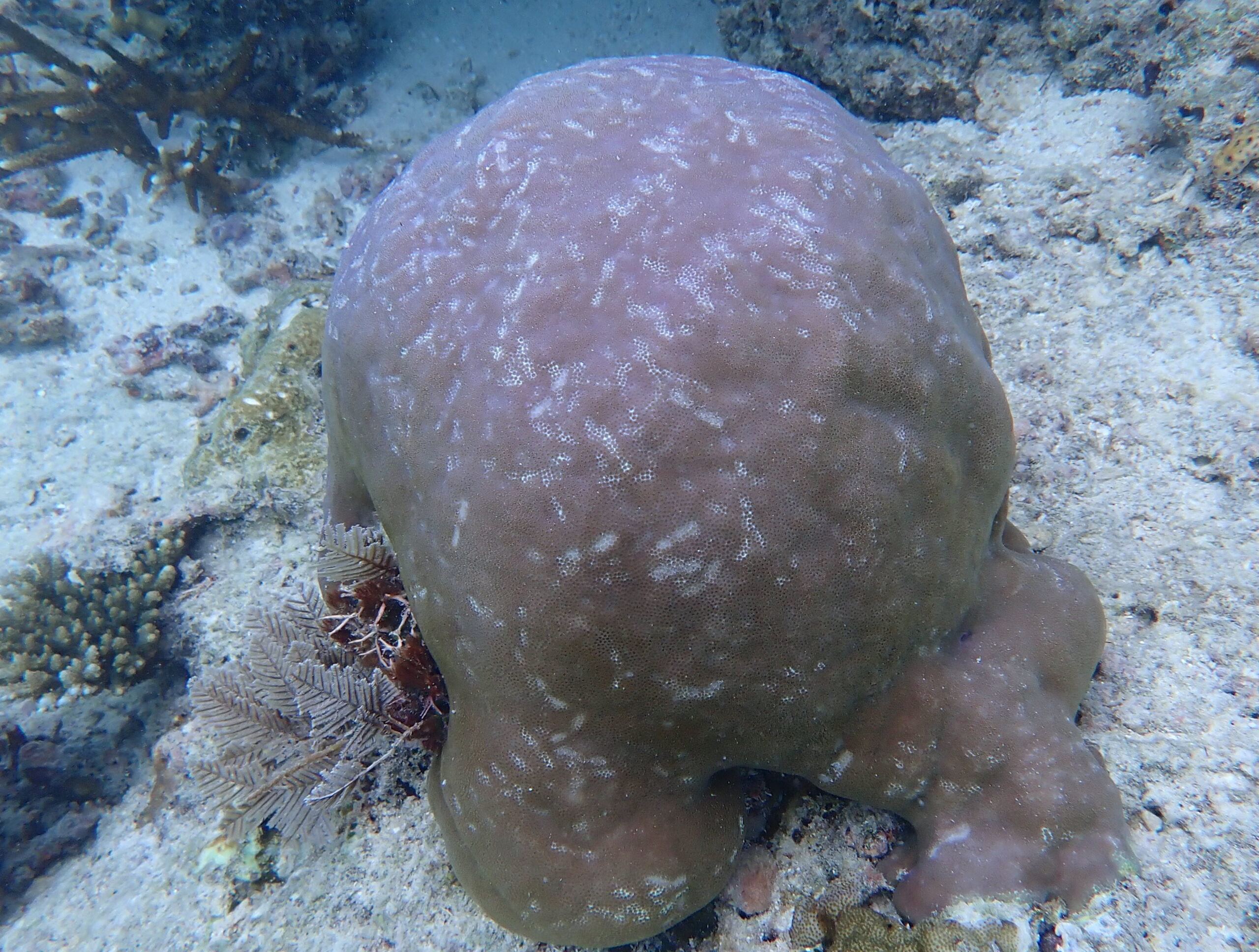
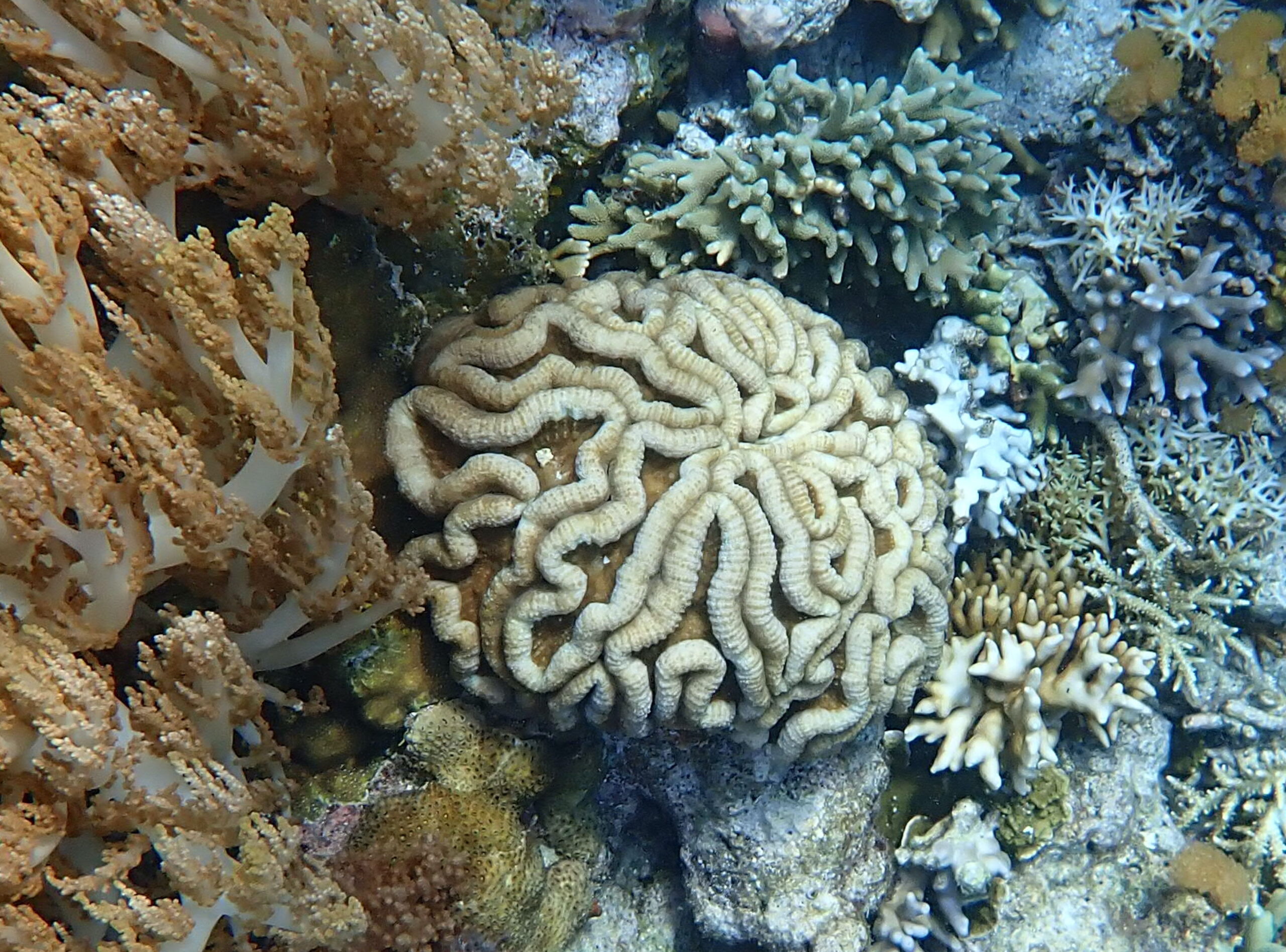
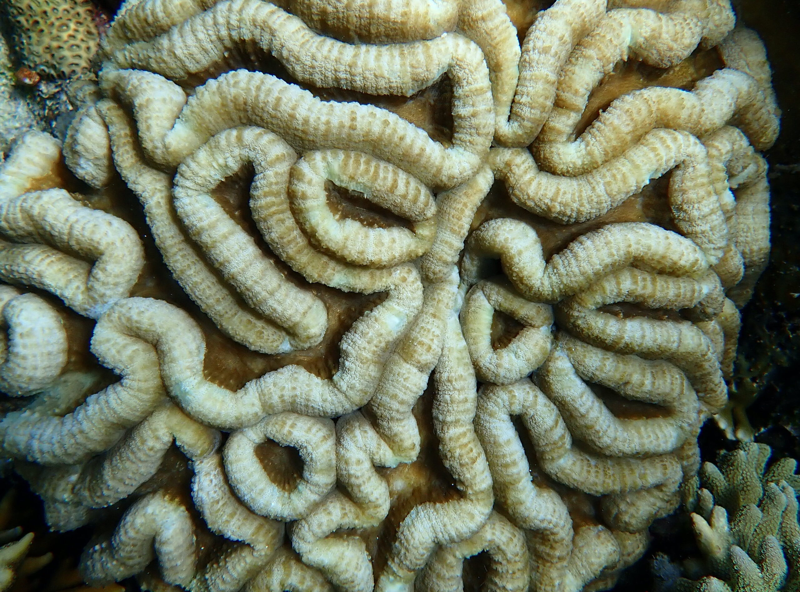
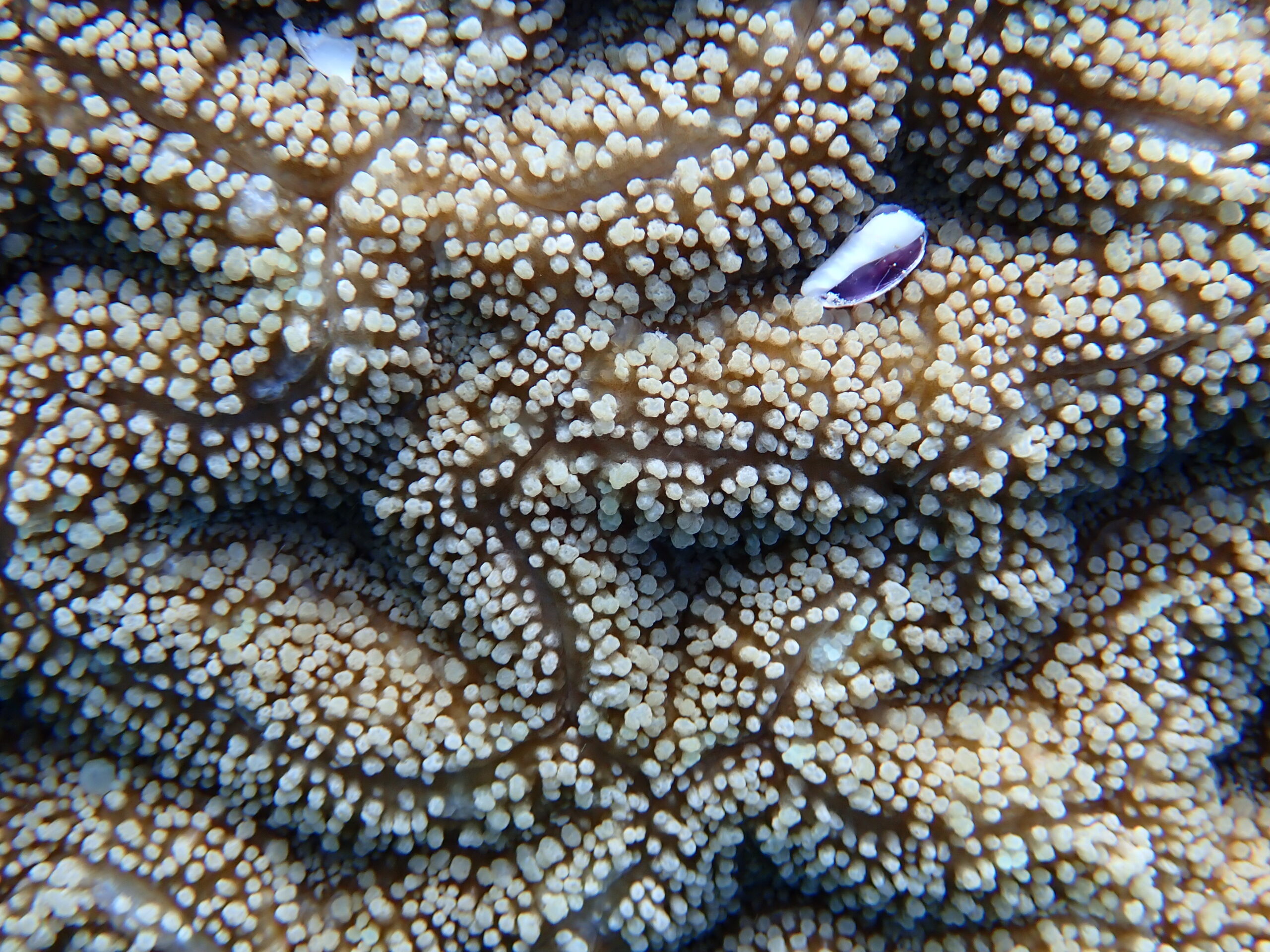
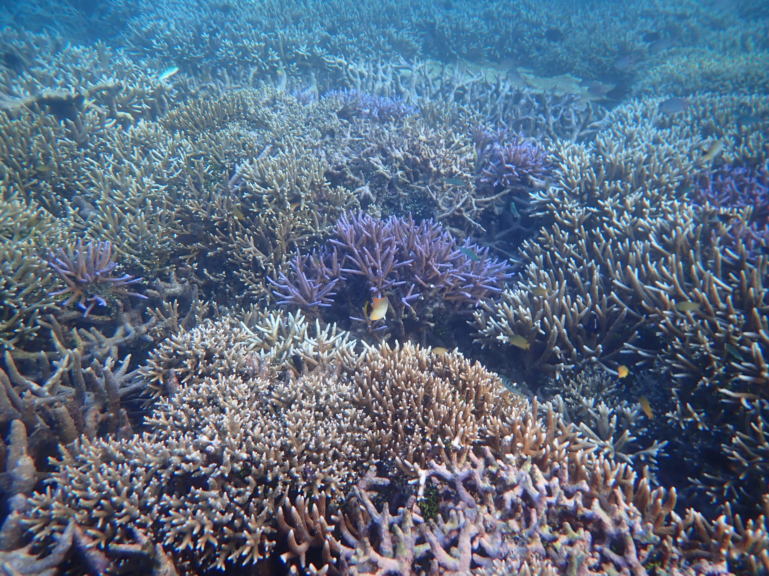
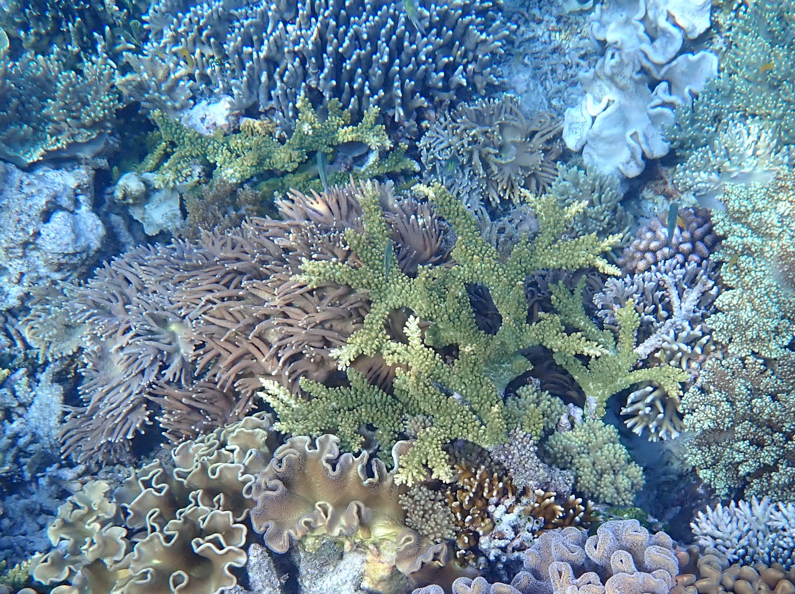
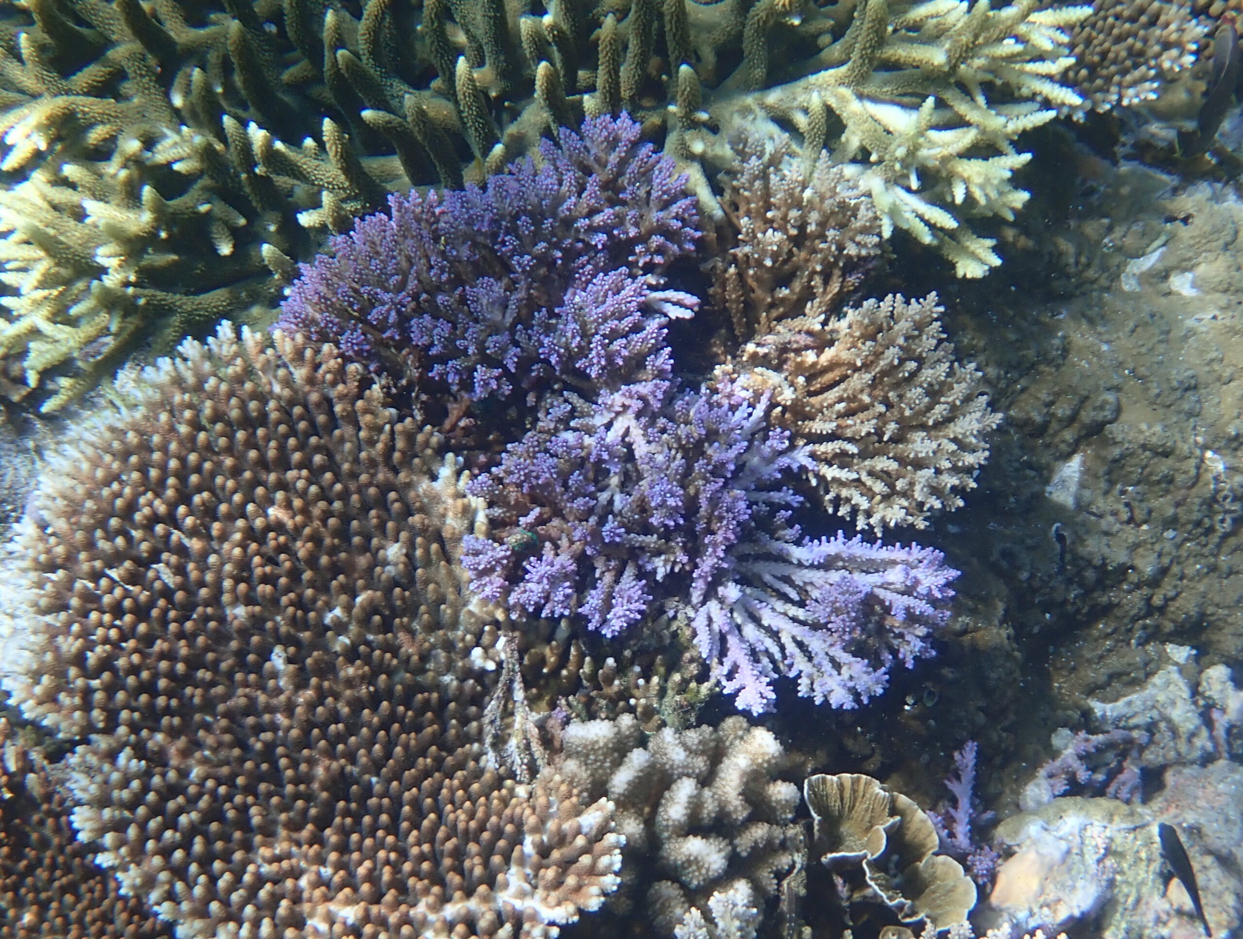
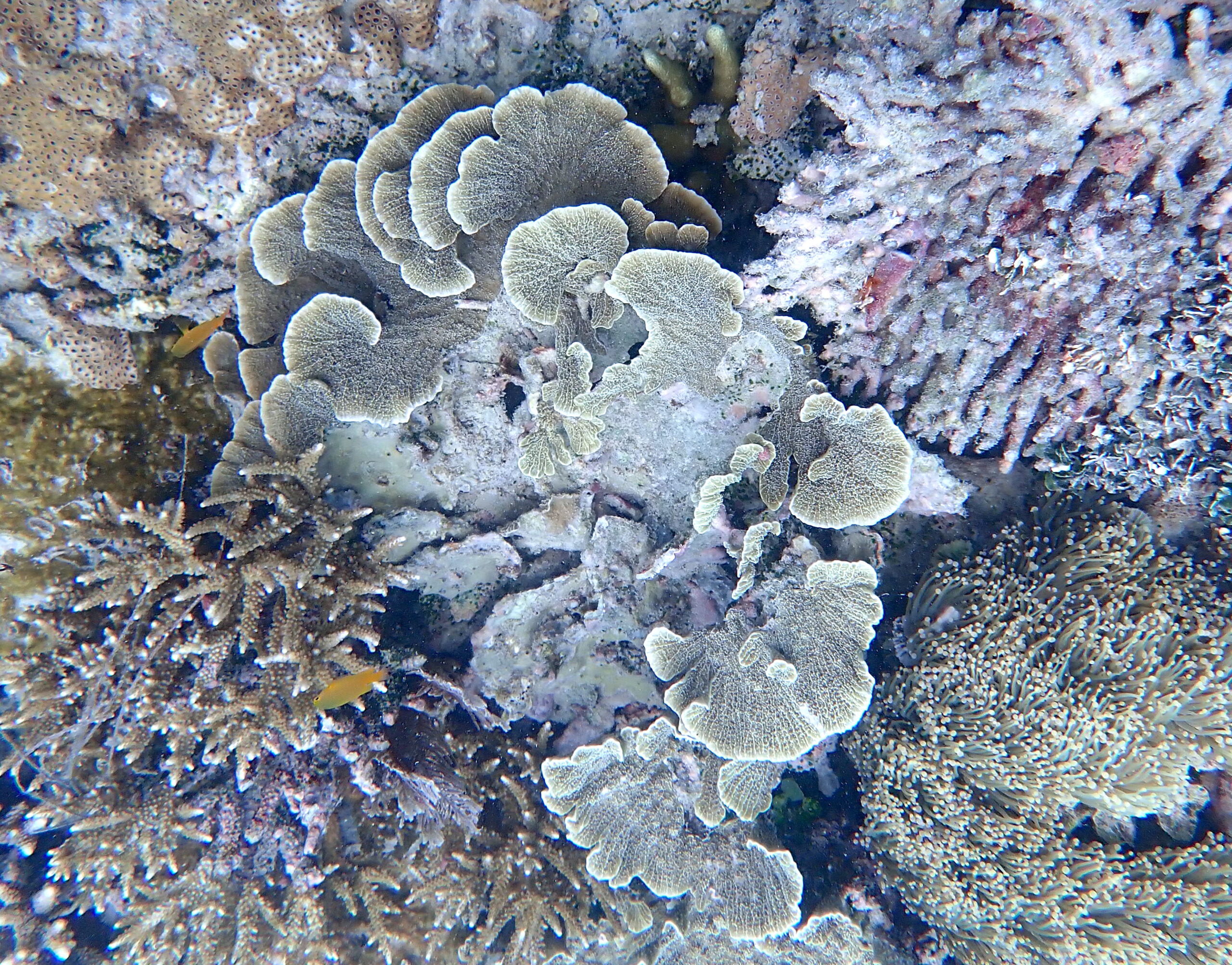
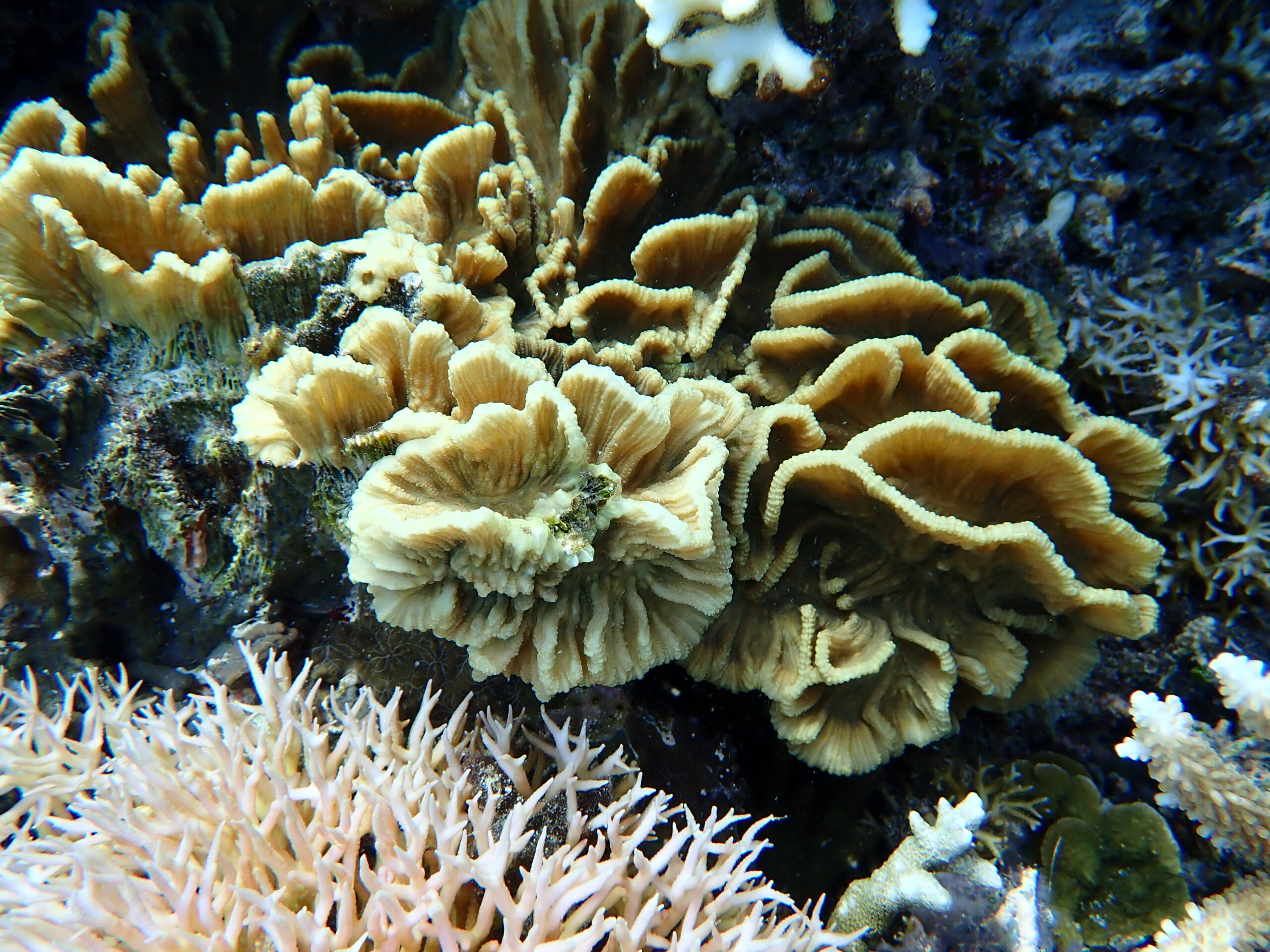
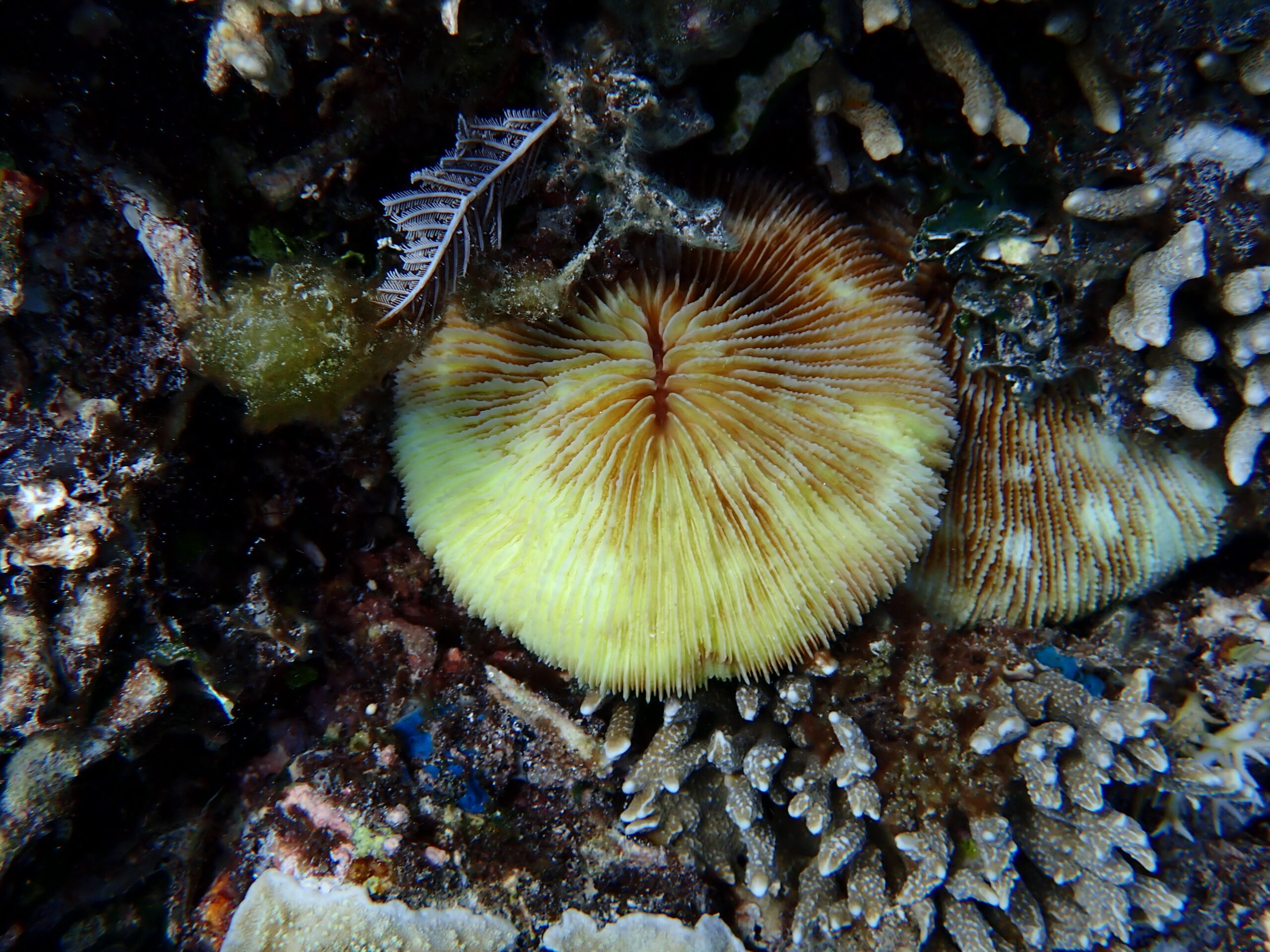
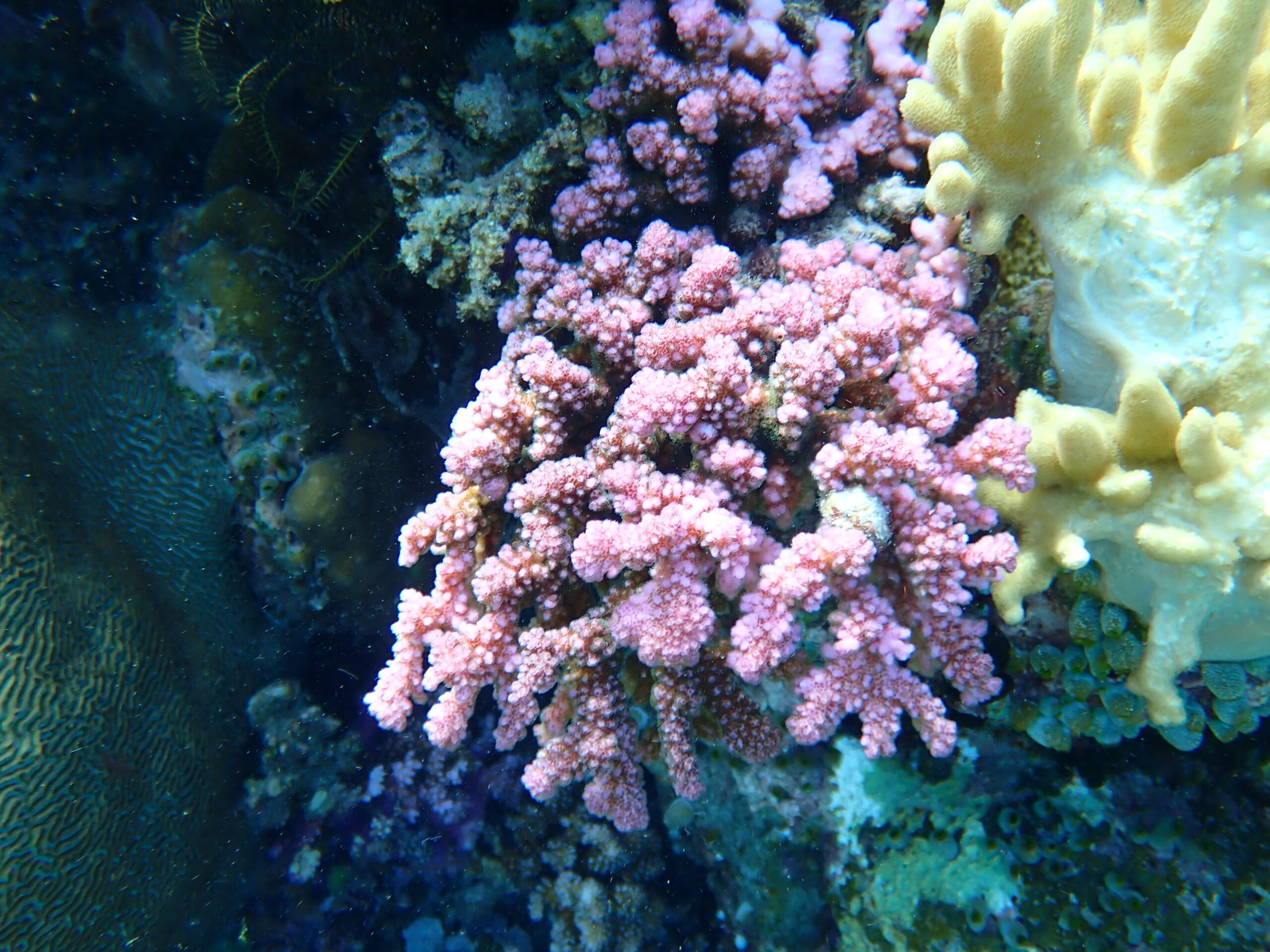
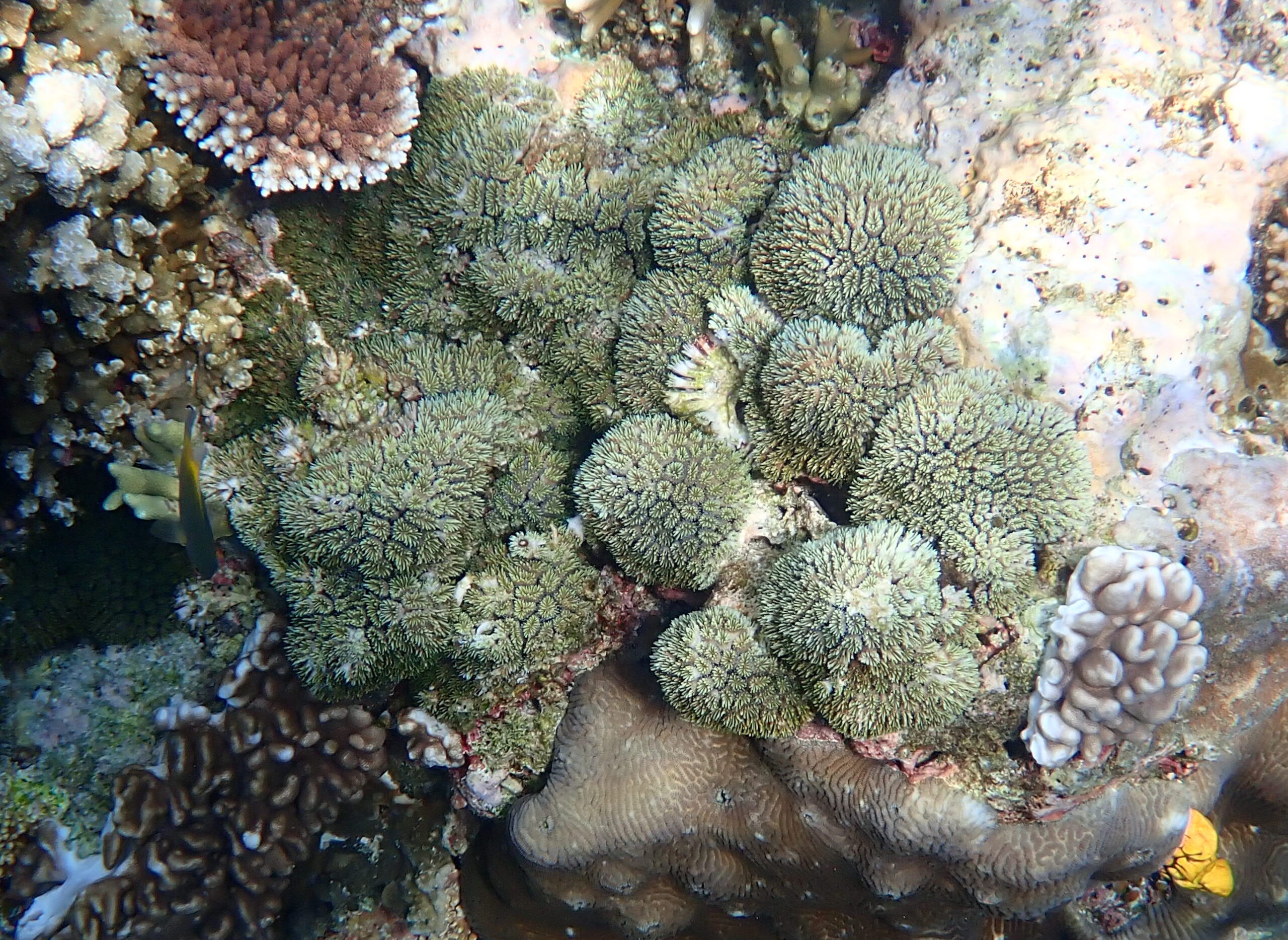
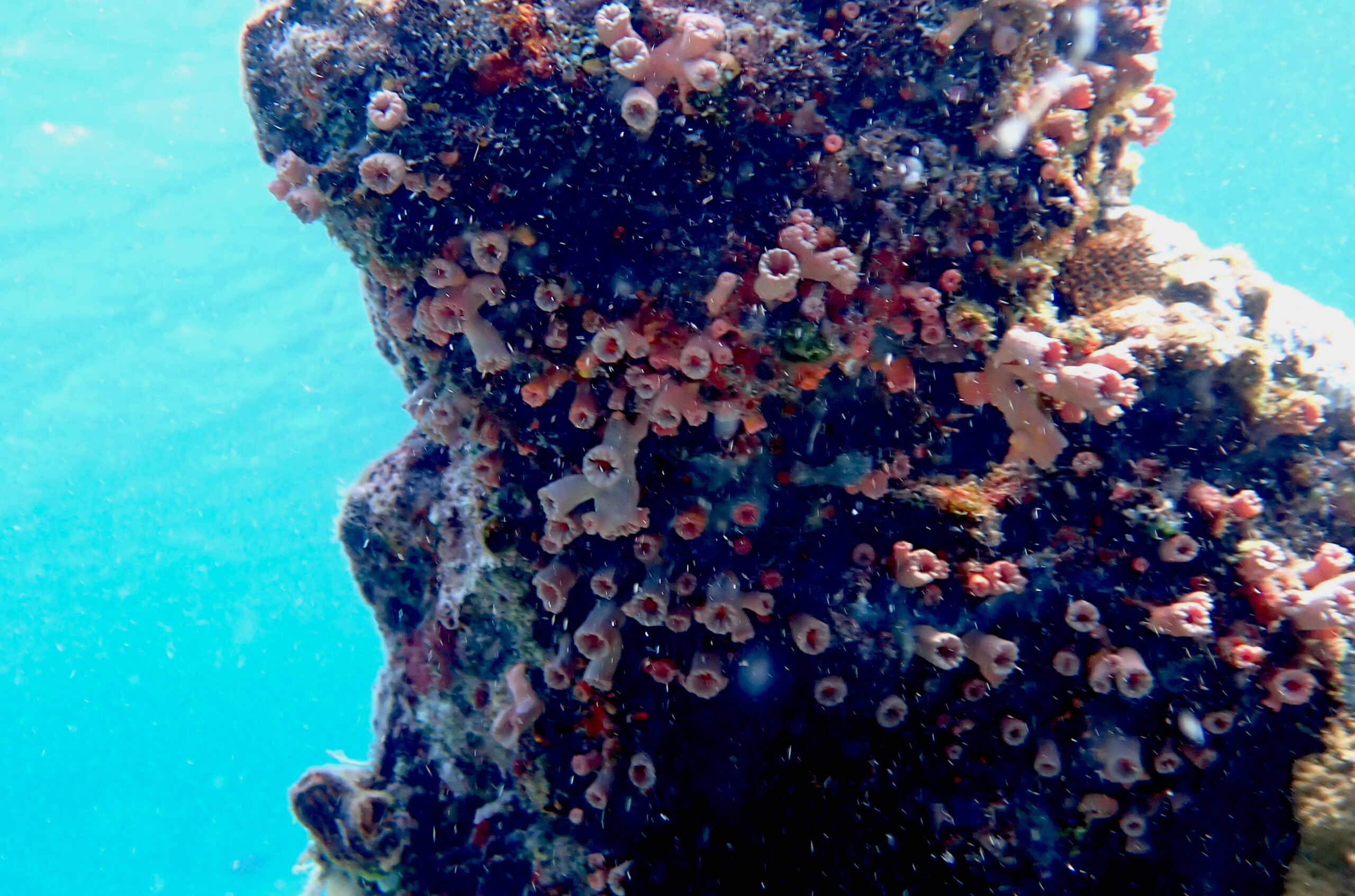
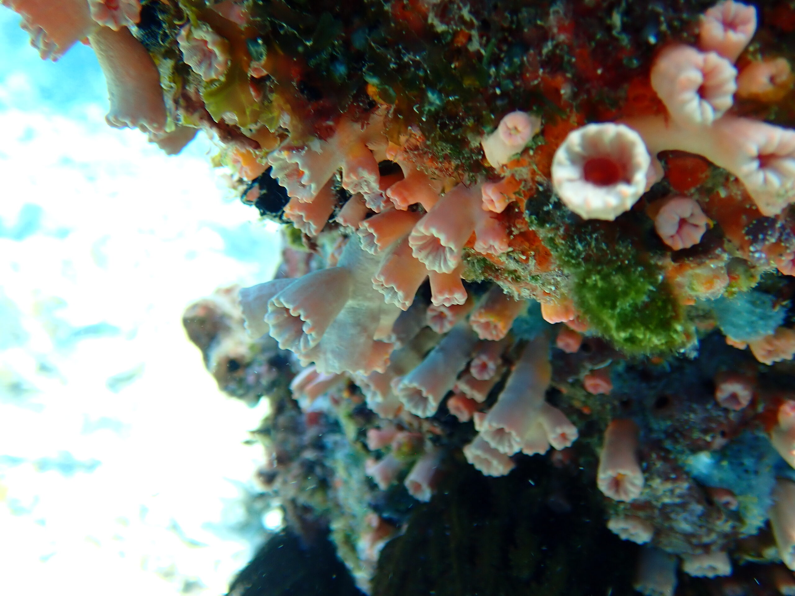
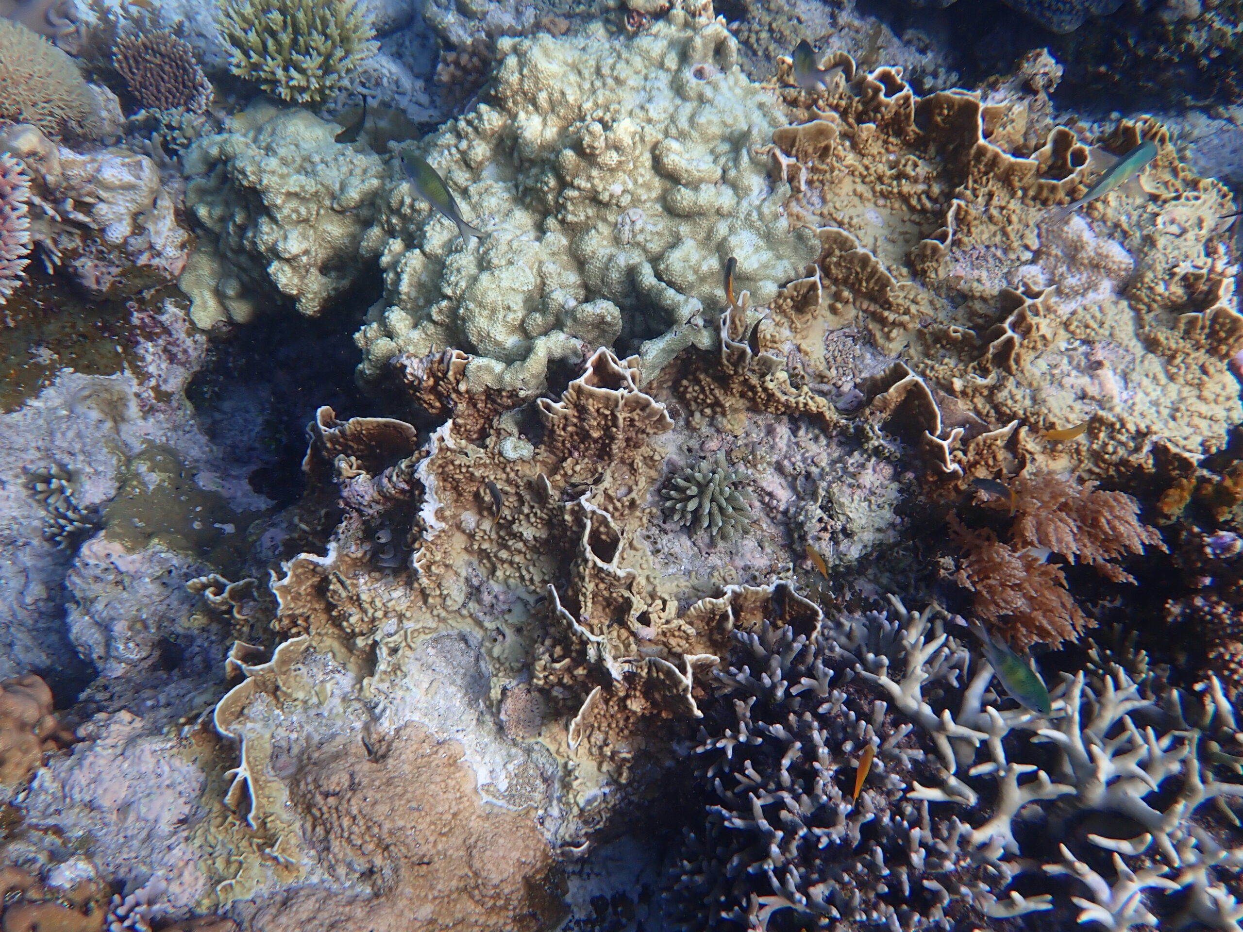
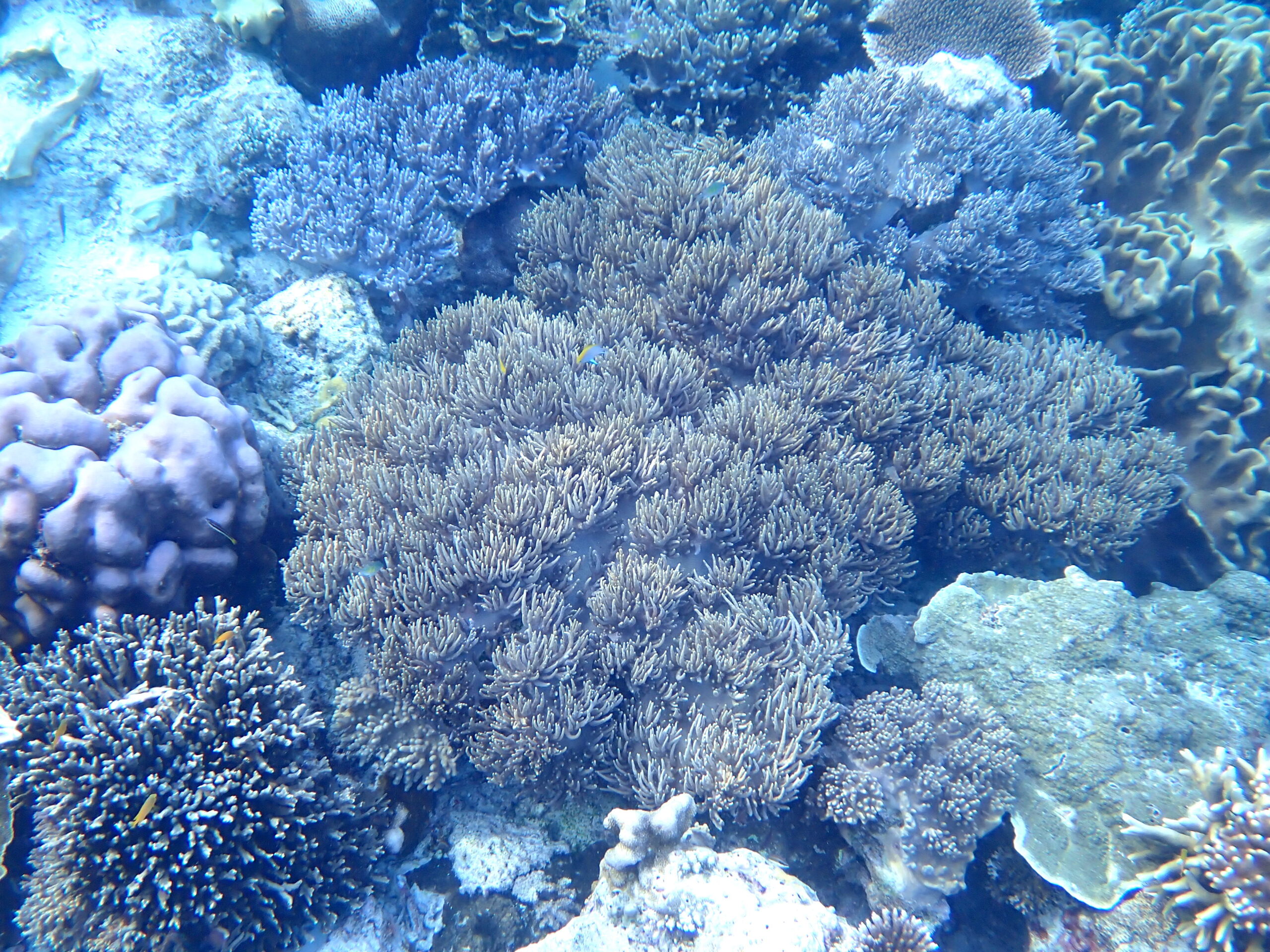
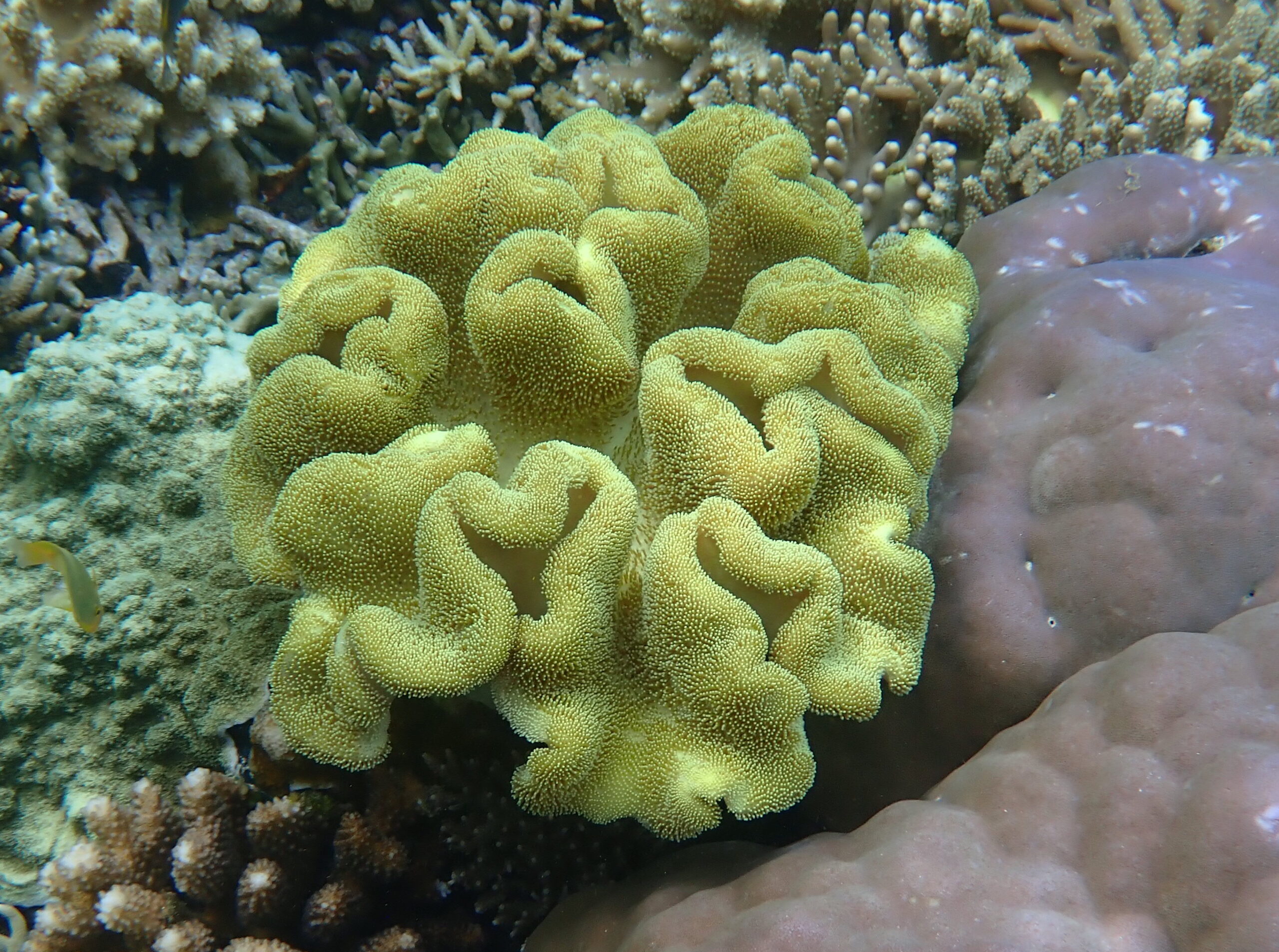
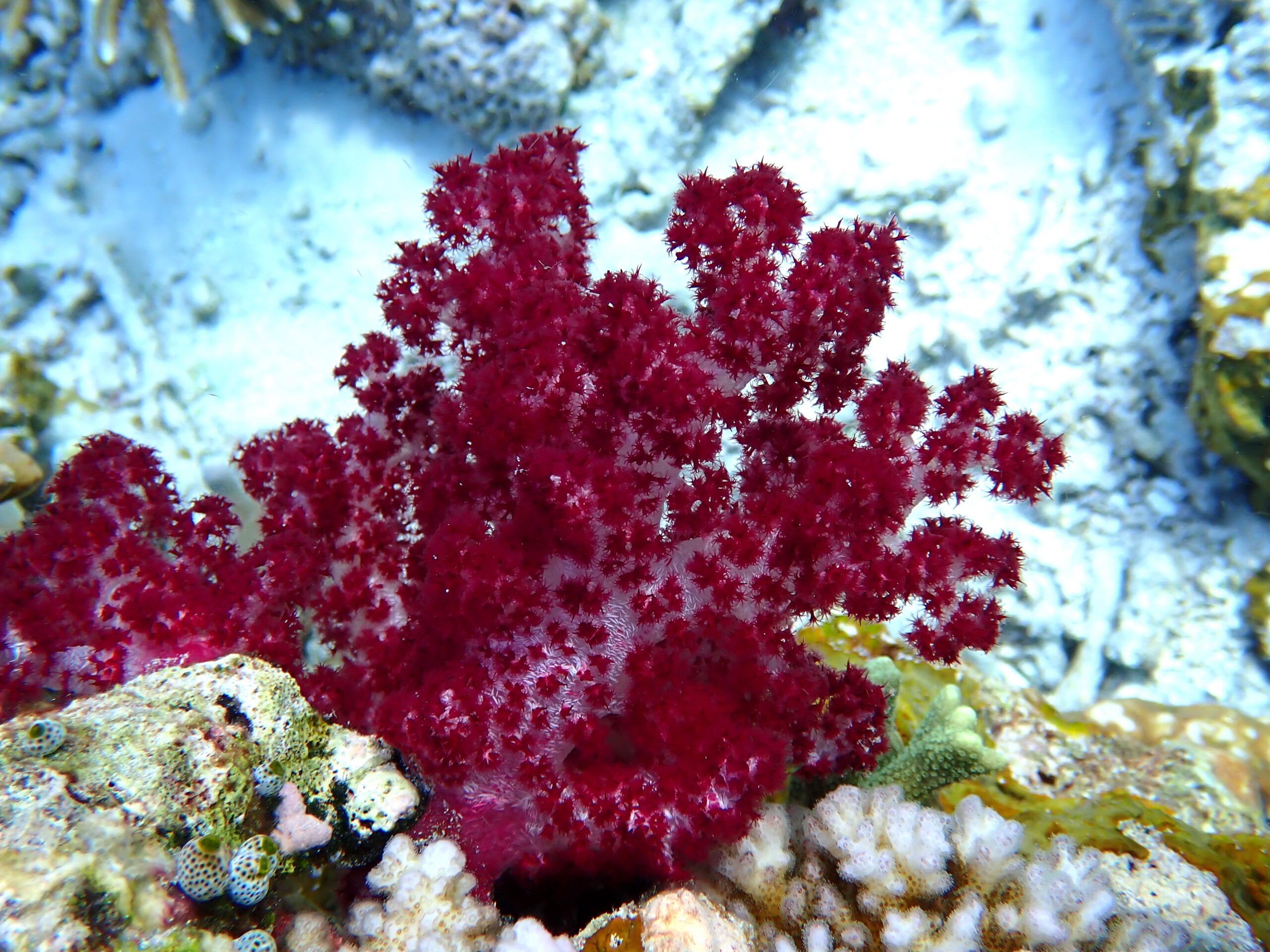
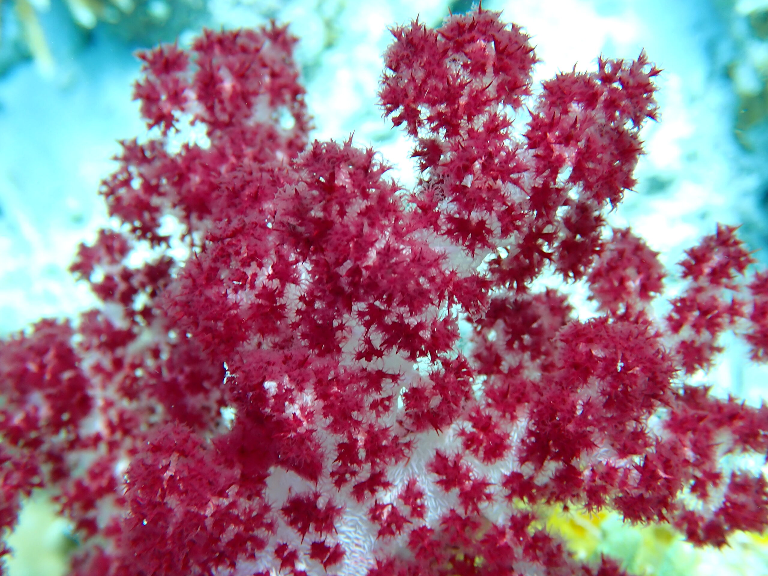
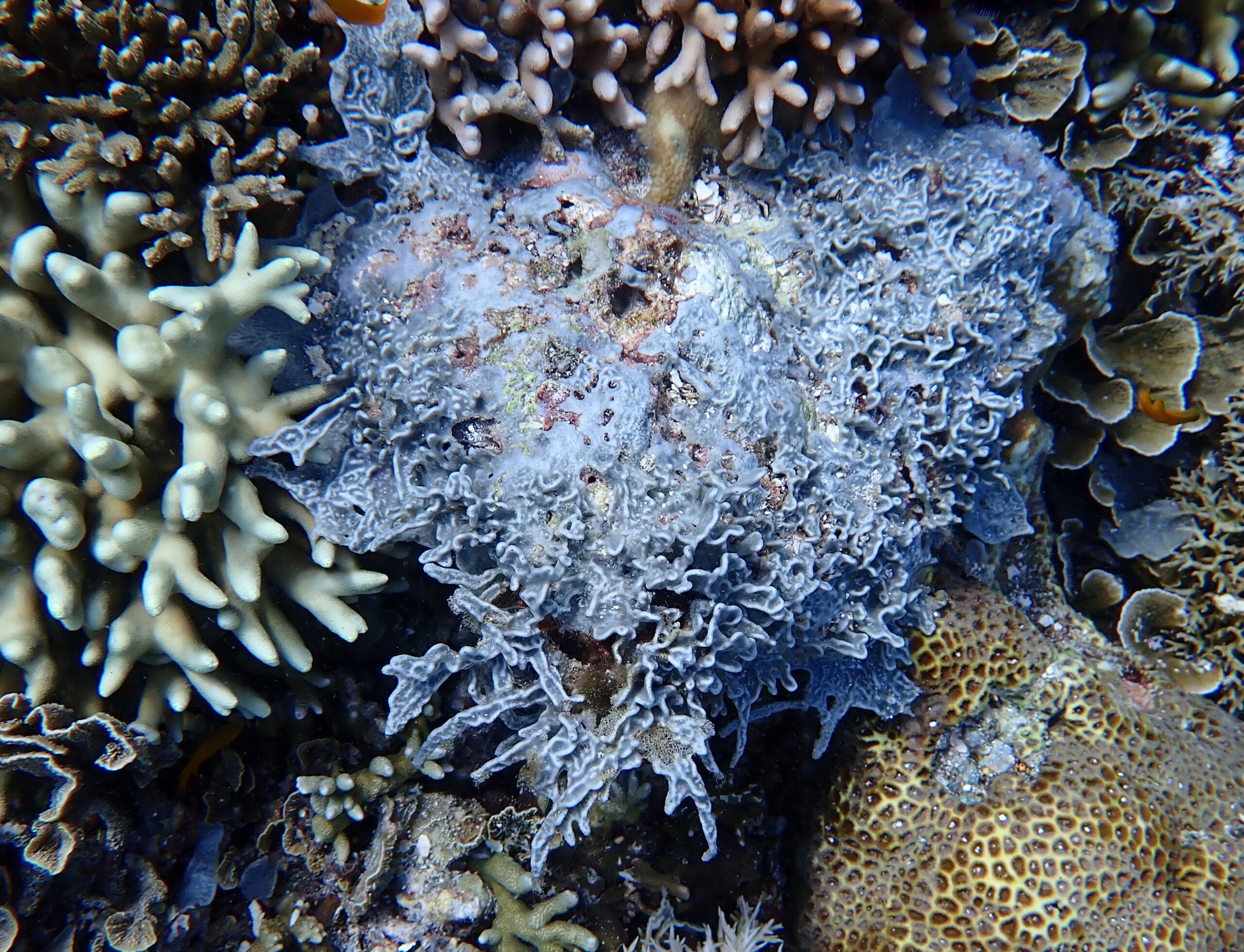
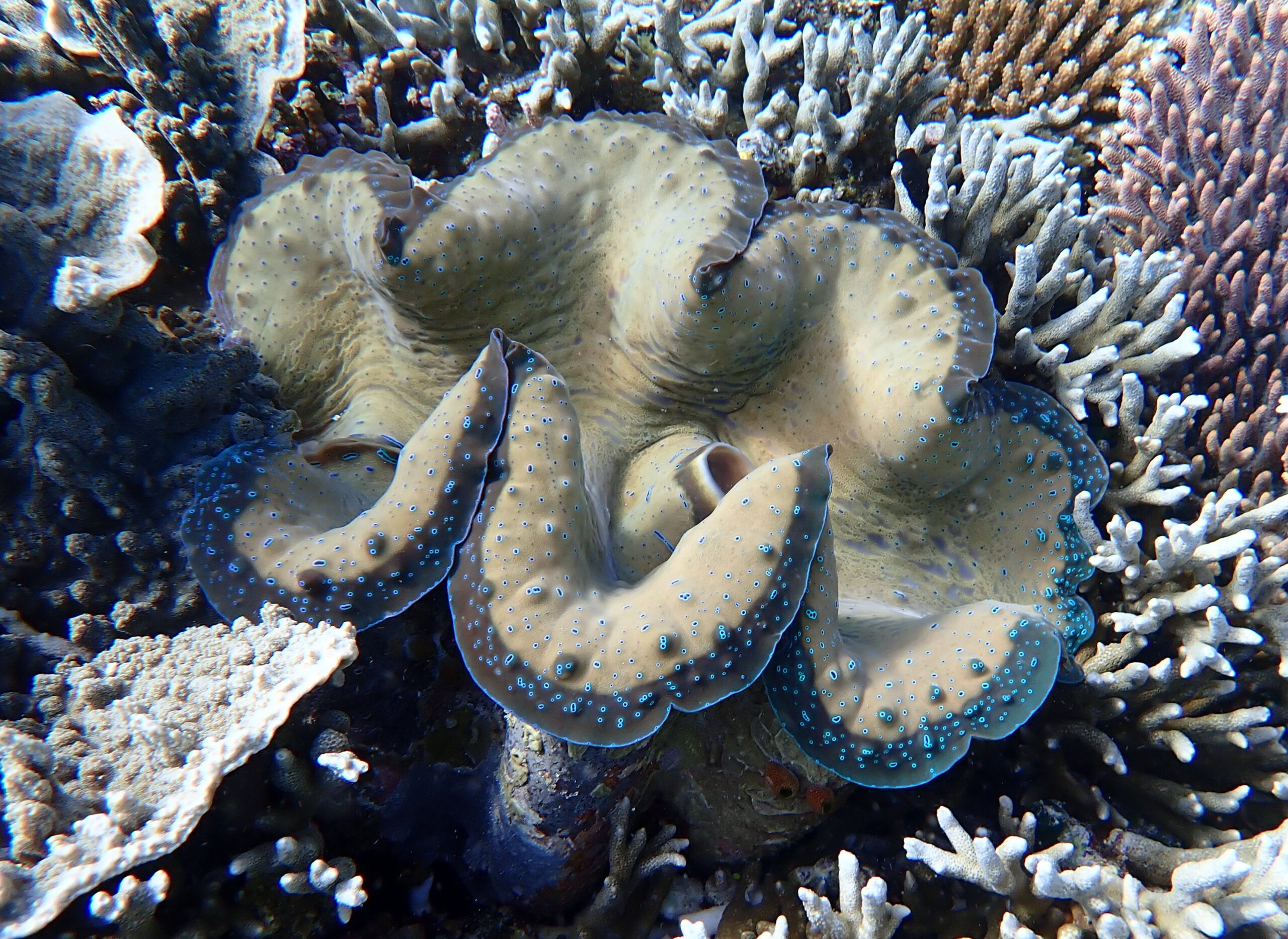
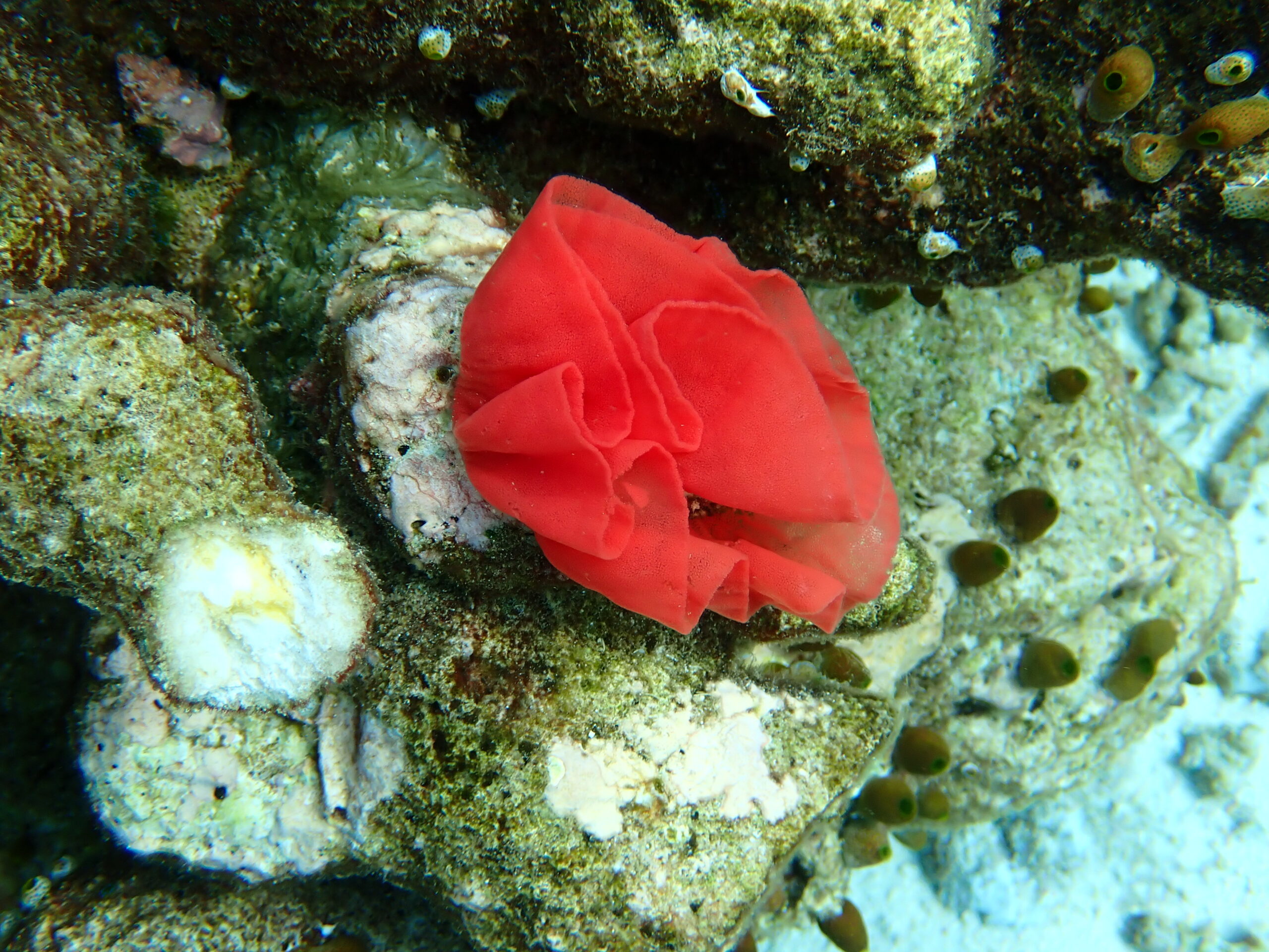
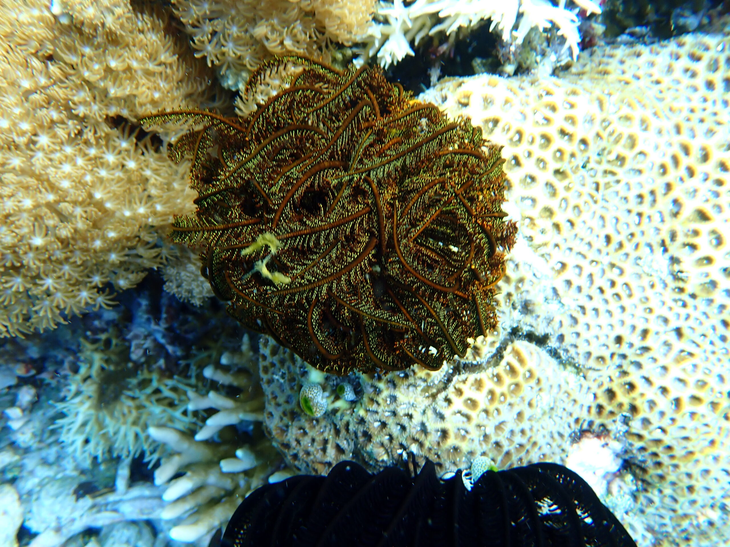
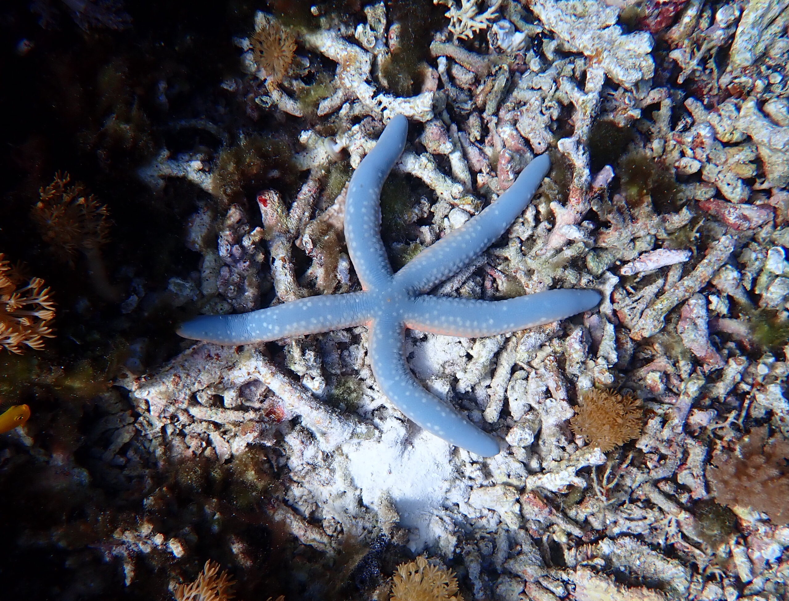
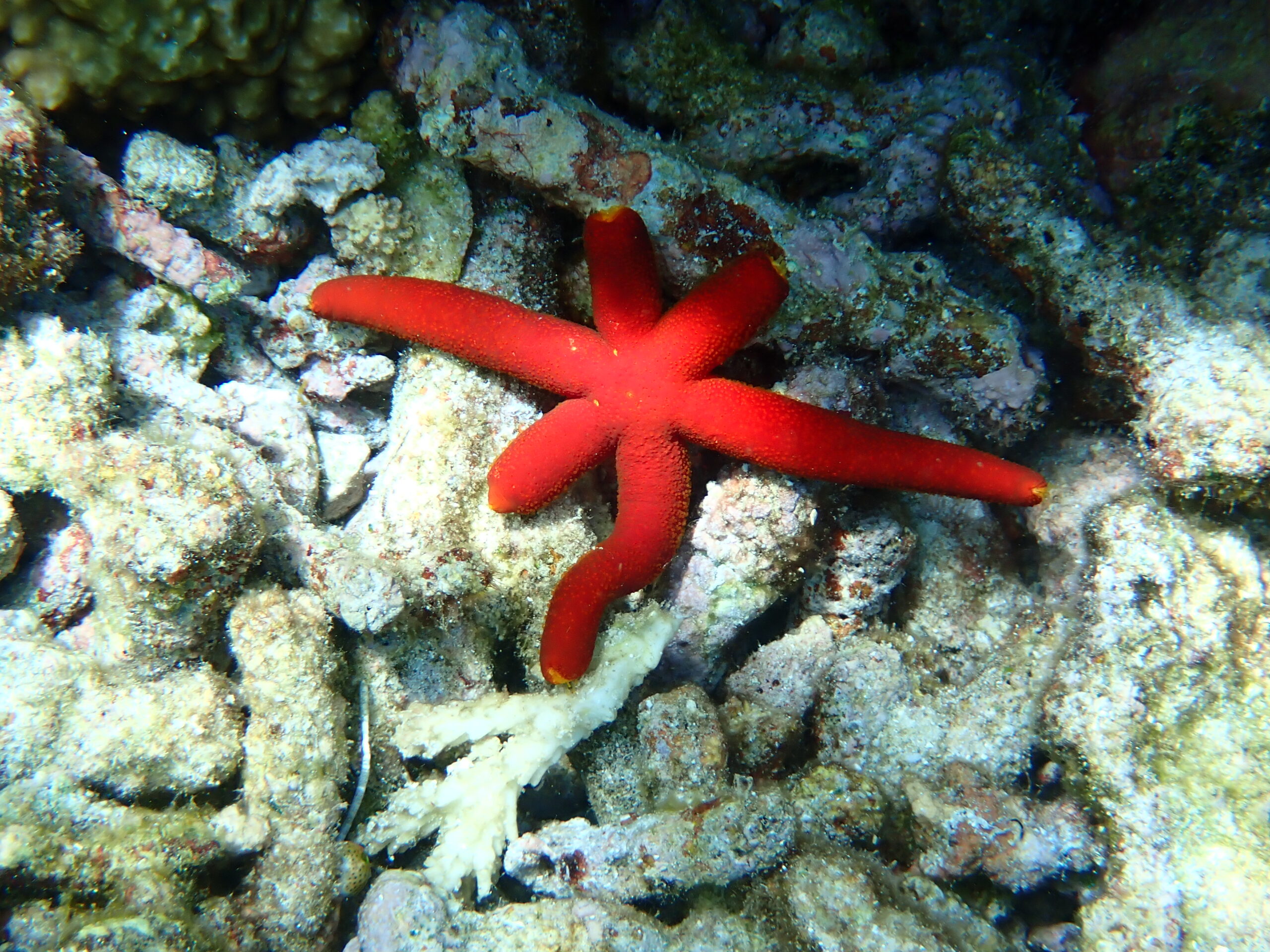
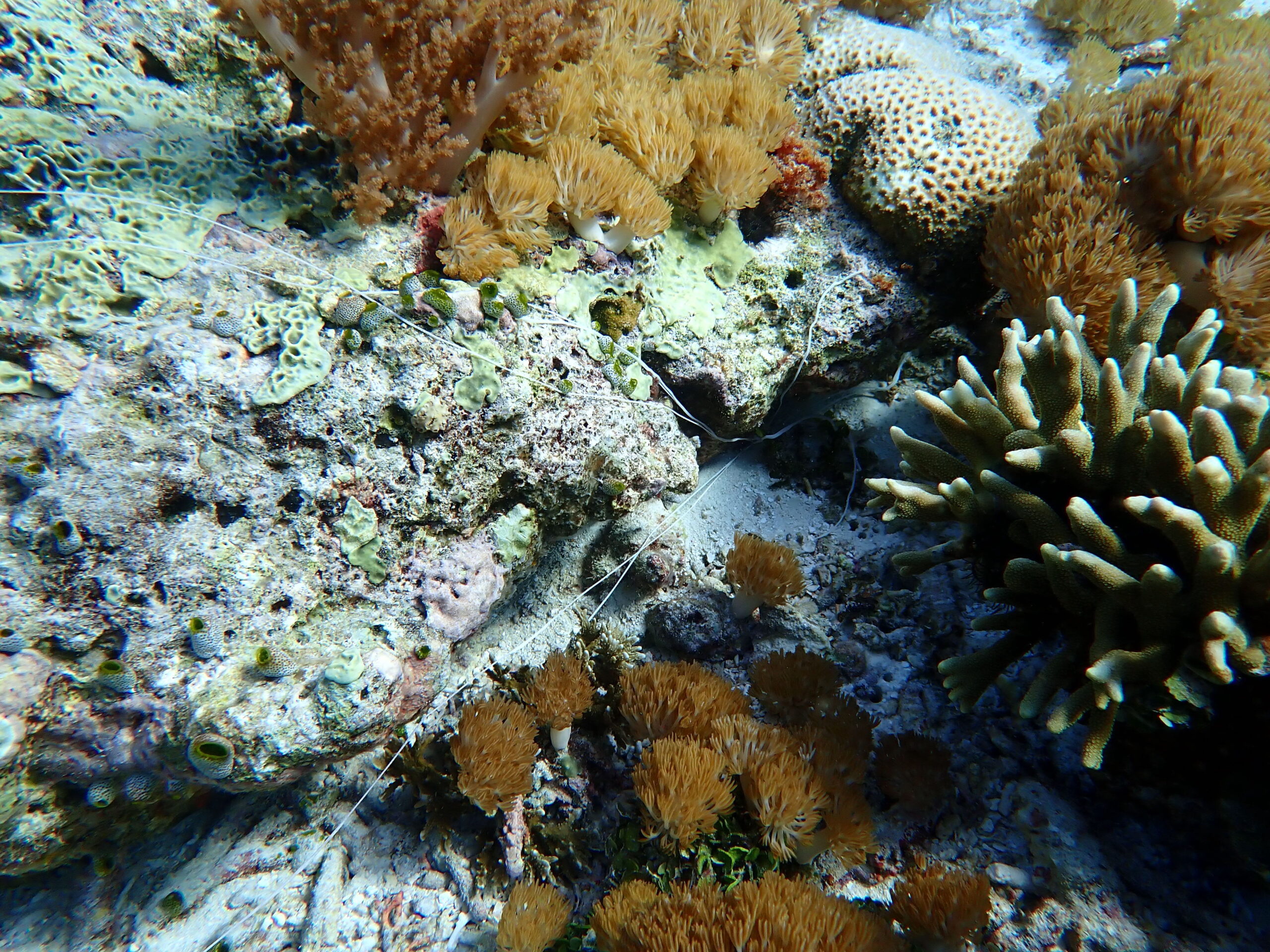
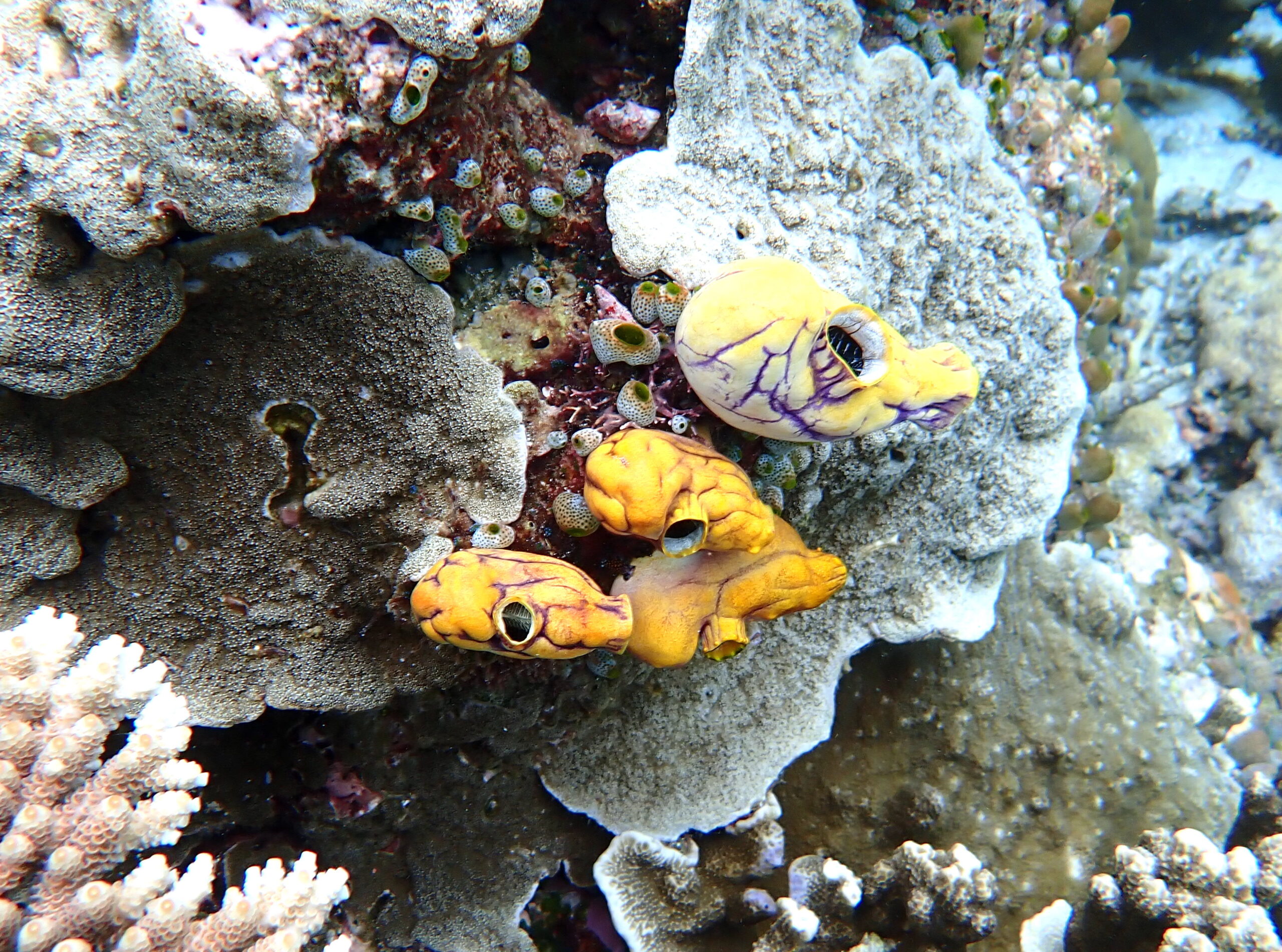
Swimming further offshore it is possible to arrive at a sloping drop off, with a variety of hard and soft corals, numerous shoals of fish and some of the larger sharks and turtles.
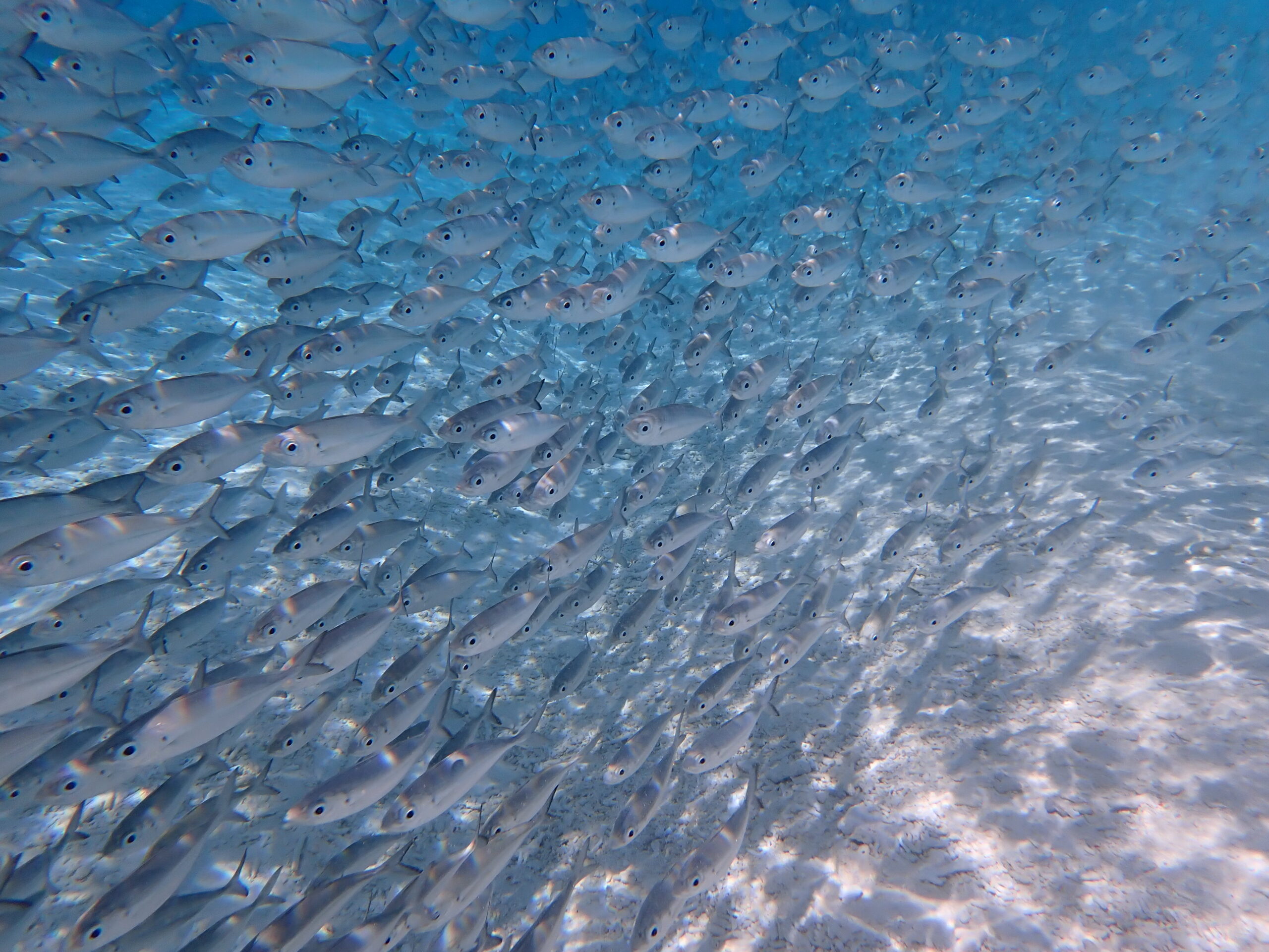
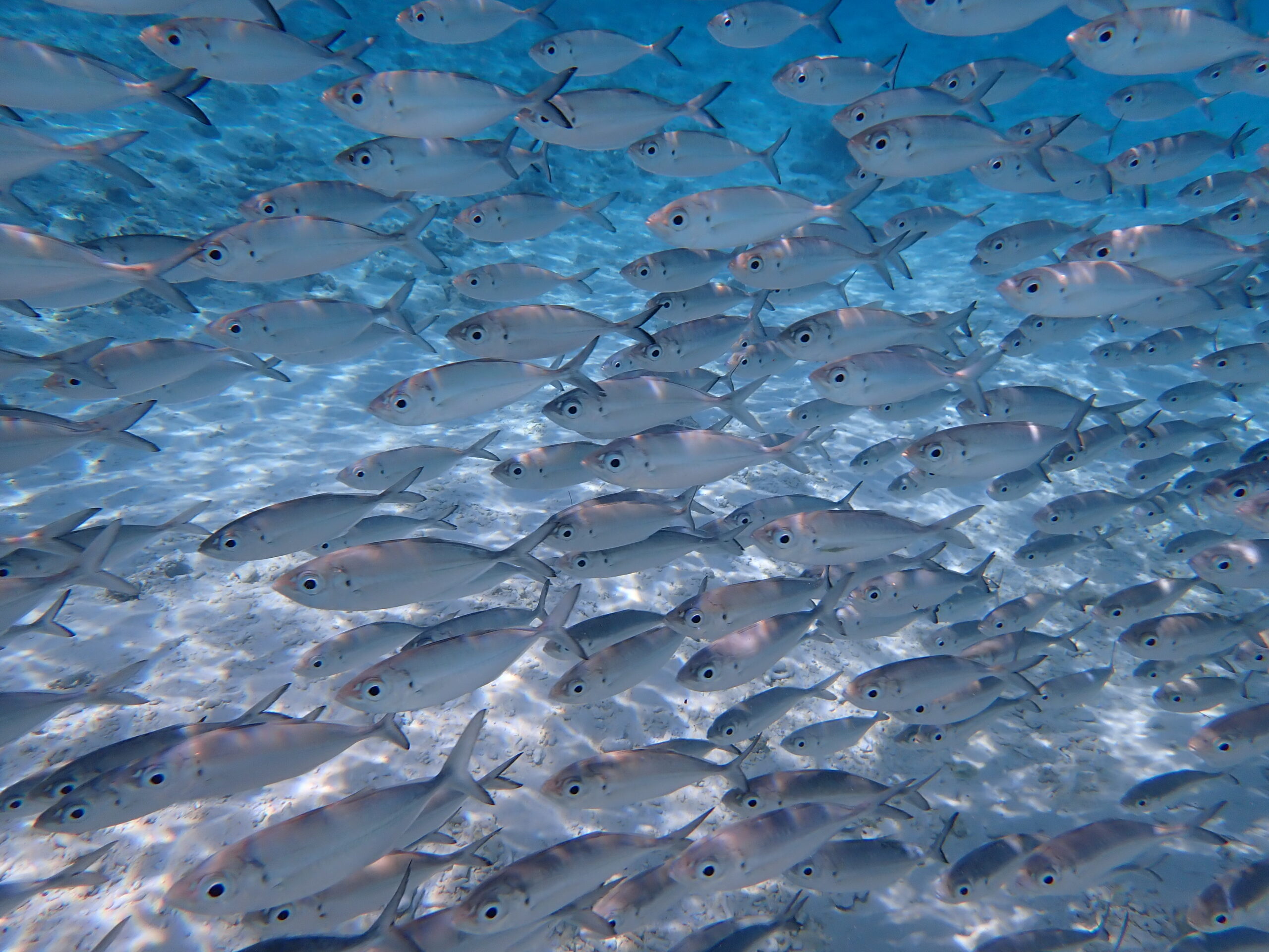
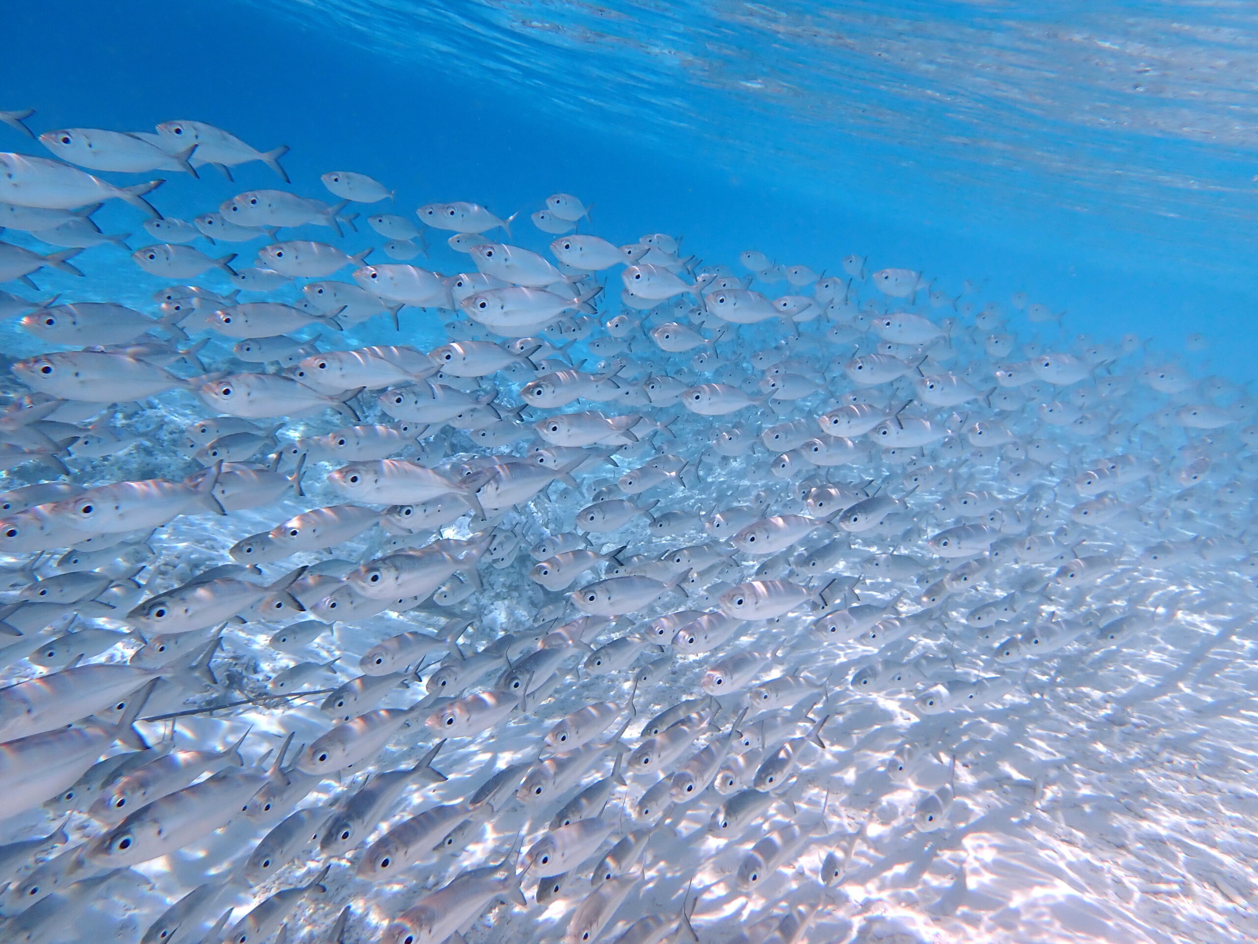
Taking a short dip in the vicinity of entry point 4 is worth it to see the large shoals of Bigeye Scad. If you are lucky you can see one of the Crocodile Needlefish, snap one up.
The best entry point is at the extreme west of the island, site 1. Alternative points from which to access the reef to the west of the island are numbered 2 and 3. Both of these can take you onto the same coral reef areas but may be subject to different wave and current conditions and in some cases support poorer seabed habitats.
The seabed at site 1 comprises broken coral debris, so wear shoes/boots. Once the water is sufficiently deep you will see Acropora and Pocillopora corals as well as numerous fish species. At this point you can choose to swim either north or south, over more extensive coral reef.
To the south of the reef you will be able to find good example of both tabular and branching Acropora species. The branching species dominate the shallow waters and create a barrier to returning to shore.
A view towards the beach over the shallow Acropora coral, with small Black Tipped Reef Sharks patrolling.
To the north of entry point 1 or from entry point 3 several areas with substantial Porites coral can be found. This area also supports a range of species not noted to the south of the area, including shoals of Palette Surgeonfish and some sizable Humphead Wrasse.
Swimming further offshore it is possible to arrive at a sloping drop off, with a variety of hard and soft corals, numerous shoals of fish and some of the larger sharks and turtles.
Taking a short dip in the vicinity of entry point 4 is worth it to see the large shoals of Bigeye Scad. If you are lucky you can see one of the Crocodile Needlefish, snap one up.